Berlin History Road Route
A road cycling route starting from Wedding
Journey through Berlin's historical landmarks and experience the city's rich heritage firsthand.
Map
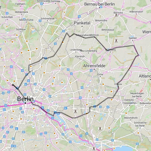
This road route is perfect for those interested in immersing themselves in Berlin's past. With a total ascent of 192 meters and a distance of 66 kilometers, explore significant sites that shaped Germany's history, from Pankow to the renowned Oberbaumbrücke.
road
66 km
192 m
Tough
Route profile
Highlights on the route
0 km
0 km
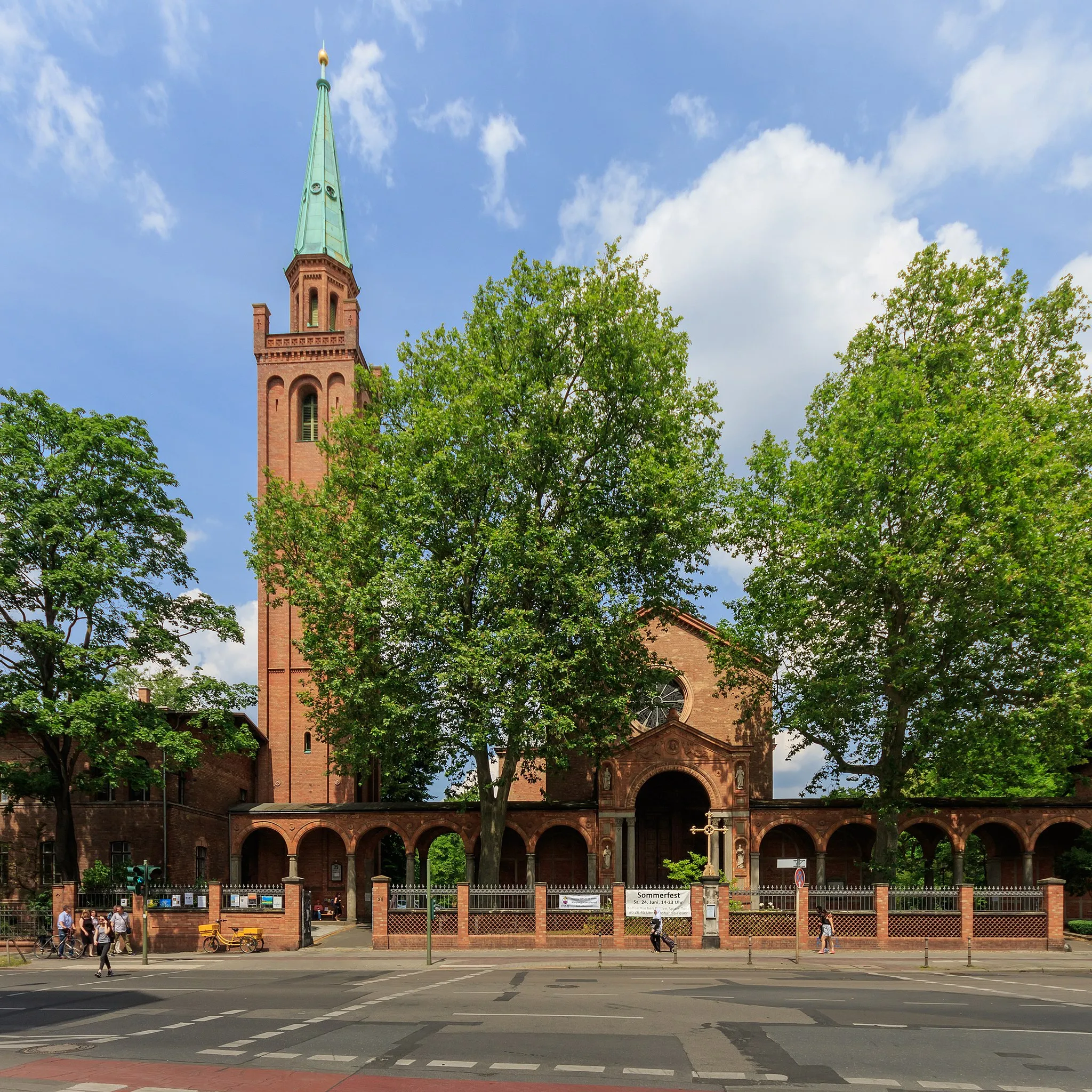
Start: Locality centerWedding: Discovering history while cycling in Wedding, Berlin
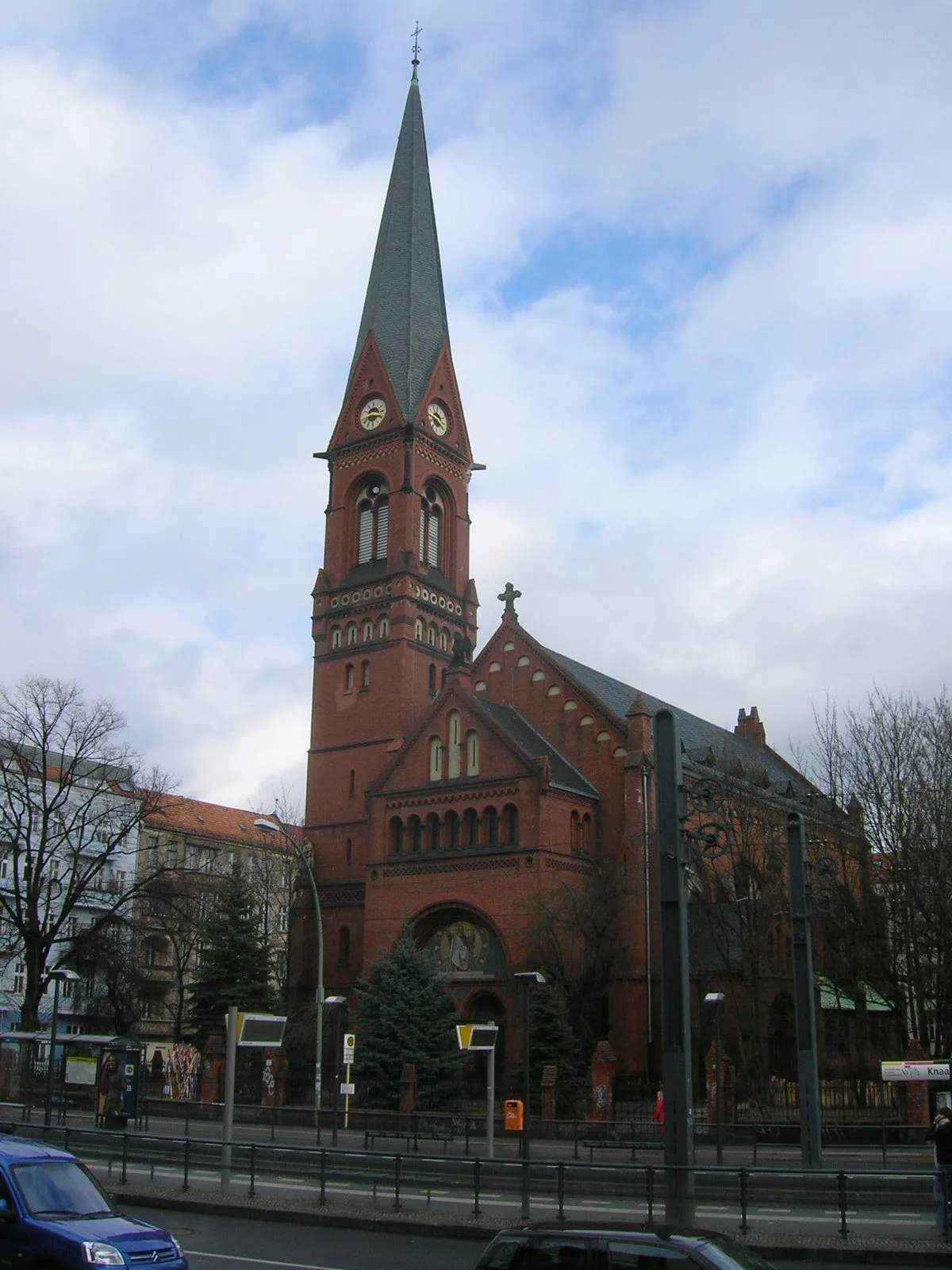
Wedding is a locality in Berlin, Germany that offers varied cycling opportunities. The area has a mix of urban streets and quiet residential roads, making it suitable for both road and gravel cyclists. One of the highlights for cyclists in this area is the possibility to ride along the Berlin Wall Trail, which offers a unique historical experience. Additionally, Wedding is close to Volkspark Rehberge, a large park with bike paths and beautiful green areas. Cyclists can also explore nearby neighborhoods such as Tiergarten and Moabit. Wedding is a diverse locality that caters to the interests of all types of cyclists.2 km
2 km
Humboldthöhe84 mPeakEnjoy the scenic views from humble Humboldthöhe, a prime location for a panoramic snapshot.
5 km
5 km
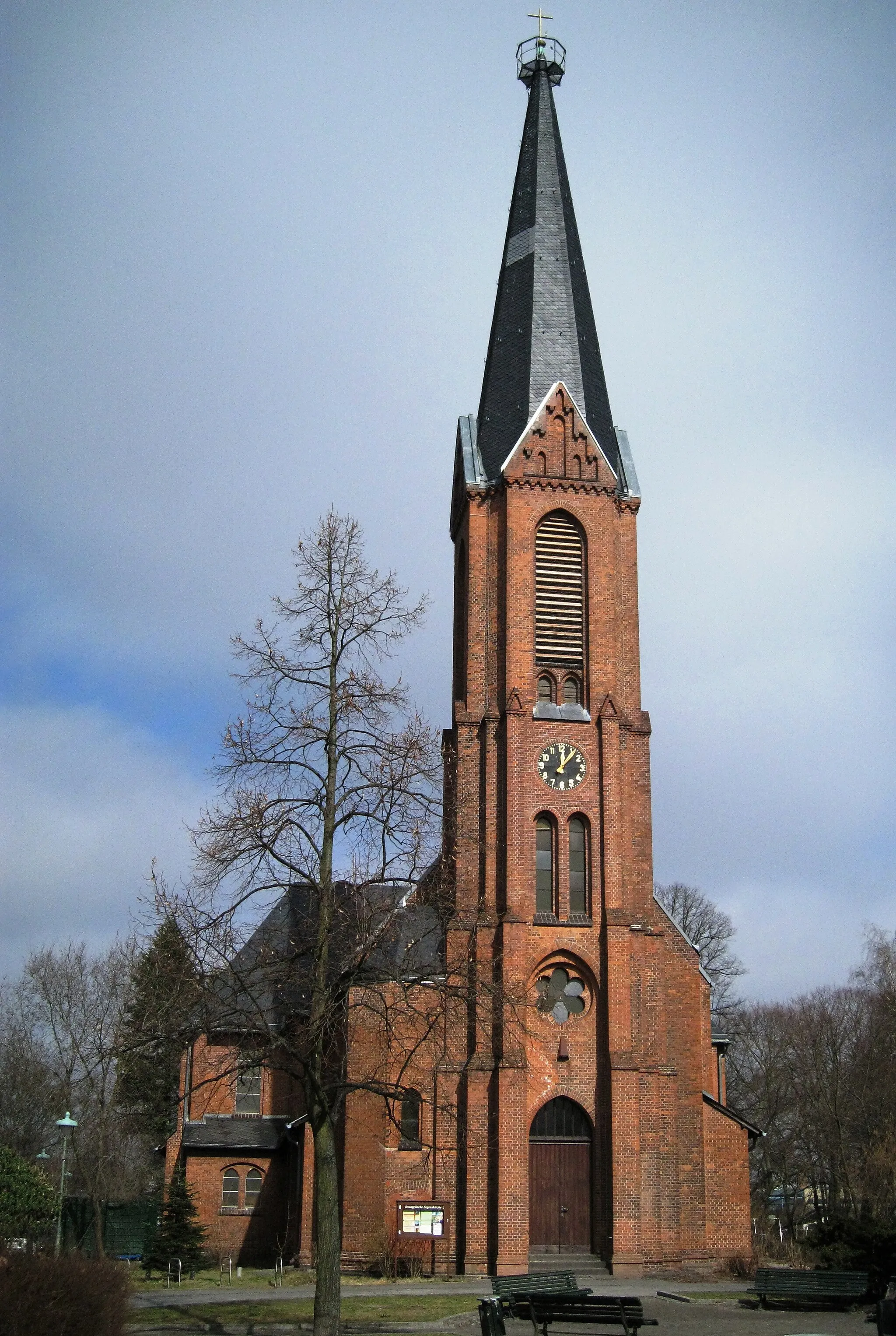
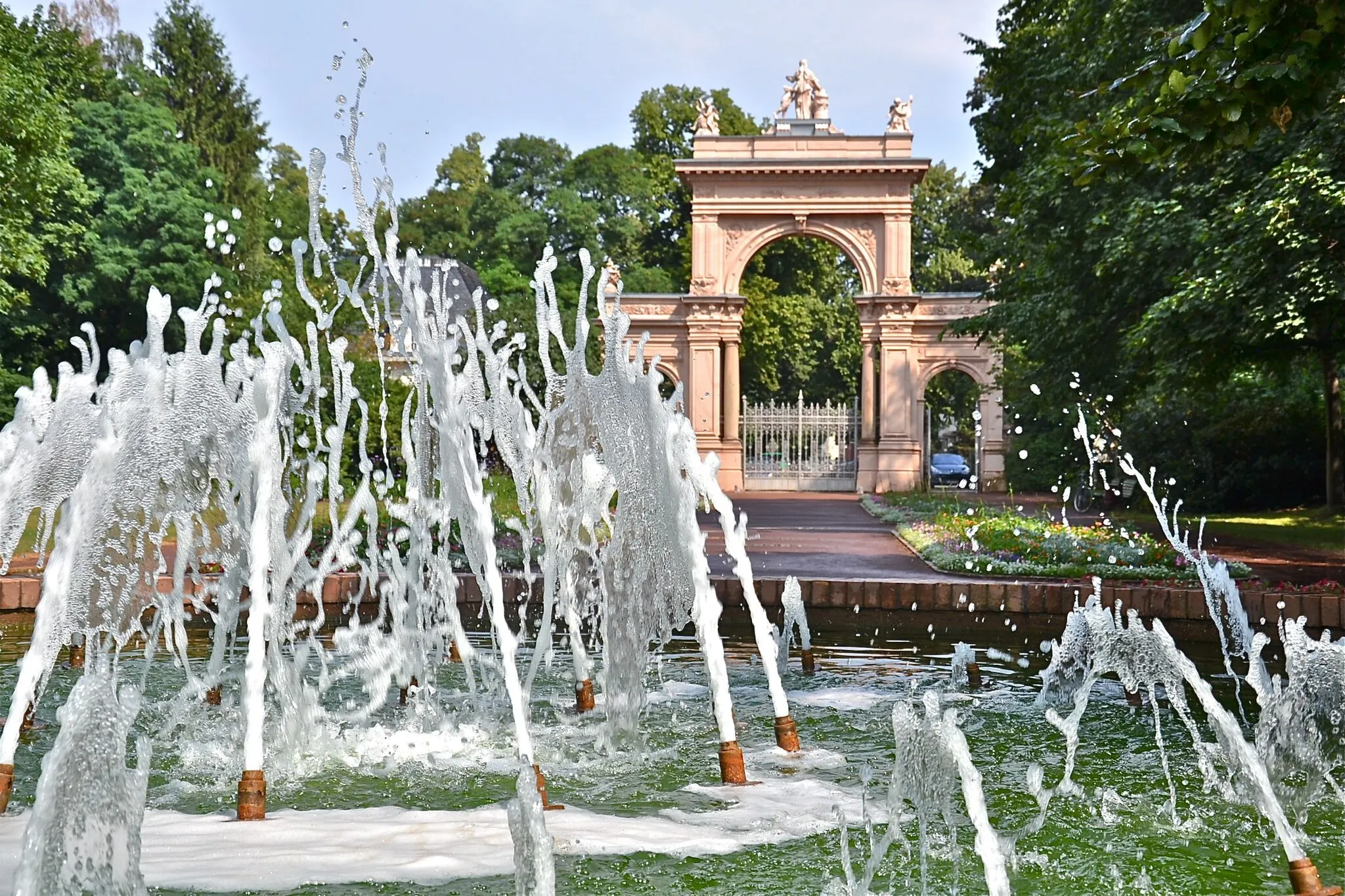
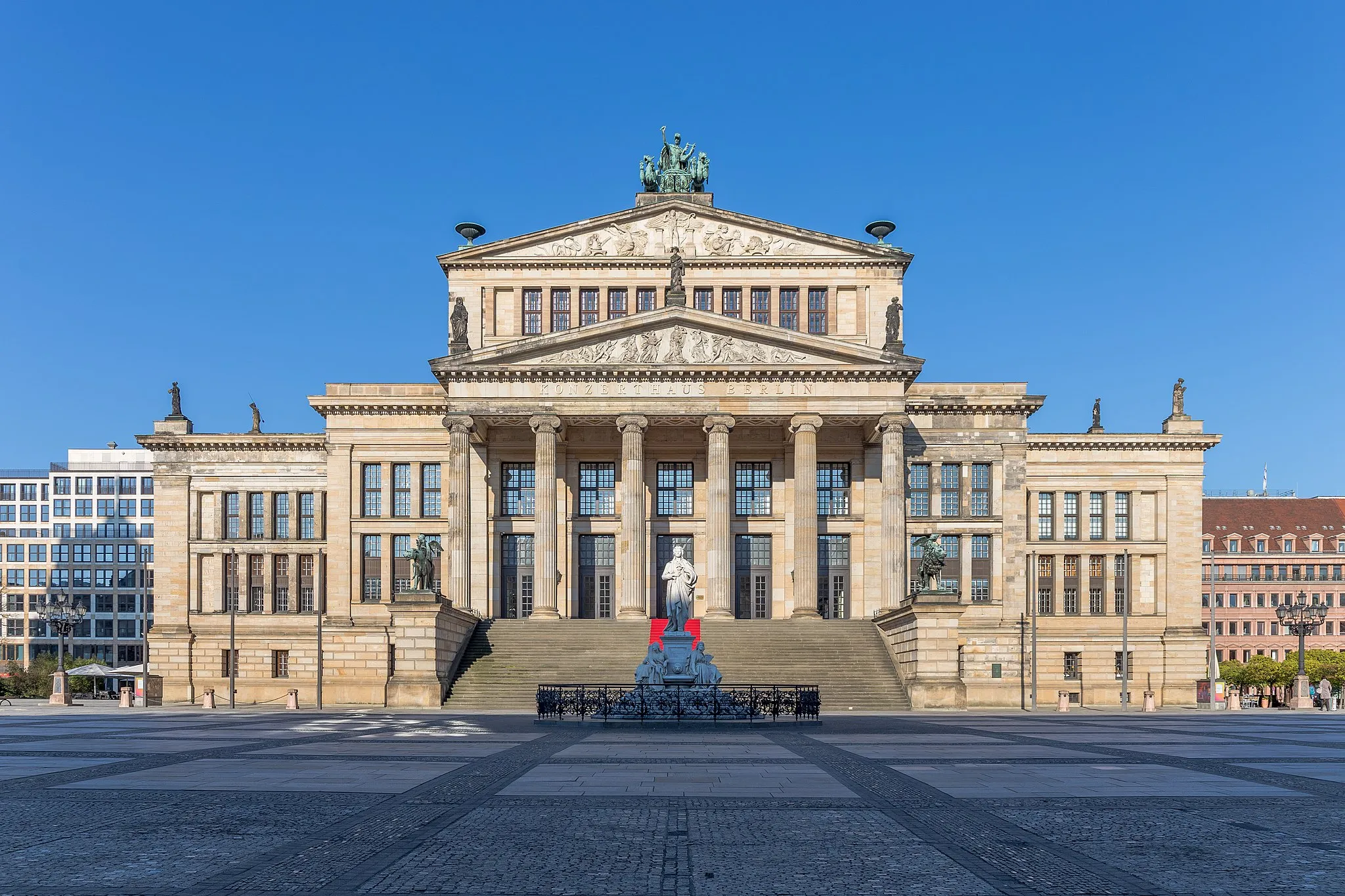
PankowSub-urbExplore Pankow, a district that seamlessly combines vintage architecture with modern charm.
13 km
13 km
Teichberg62 mPeakClimb Teichberg and witness remnants of the city's industrial past.
21 km
21 km
Neu SchwanebeckVillageVisit Neu Schwanebeck and appreciate the idyllic countryside scenery.
40 km
40 km
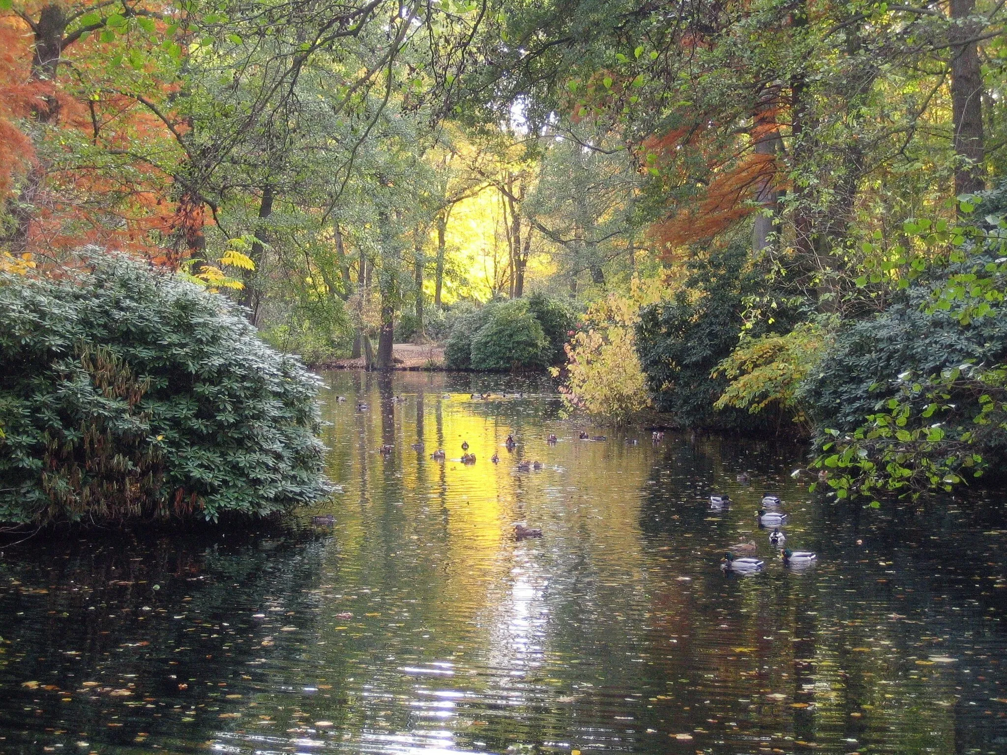
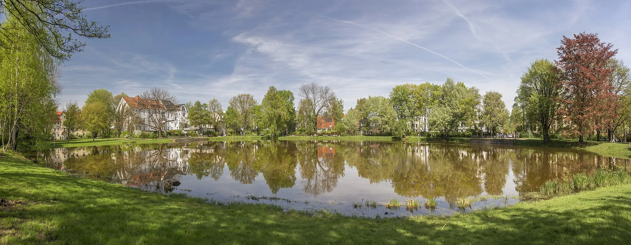
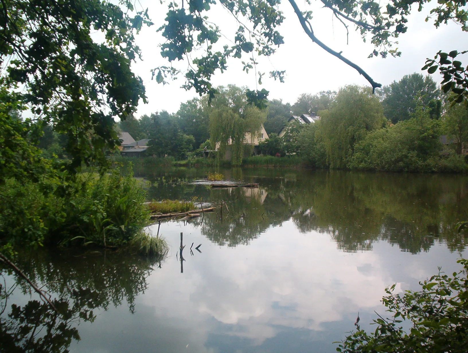
HönowVillageDiscover Hönow, a peaceful neighborhood adorned with tranquil lakes and scenic paths.
47 km
47 km
Biesdorfer Höhe81 mPeakTake a break at Biesdorfer Höhe, an elevated spot offering vistas of the surrounding greenery.
58 km
58 km
OberbaumbrückeAttractionCross the iconic Oberbaumbrücke, a historical bridge showcasing remarkable architectural design.
63 km
63 km
Weiße MaulbeereAttractionDon't miss the unique Weiße Maulbeere tree, a living historical artifact.
66 km
66 km
Finish: Locality centerWedding: Discovering history while cycling in Wedding, Berlin
Cycling routes nearby: