Berlin Hills Road Route
A road cycling route starting from Wedding
Embark on a challenging journey through Berlin's rolling countryside and uncover hidden gems along the way.
Map
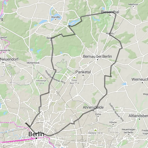
This road route is ideal for experienced cyclists looking for a thrilling adventure that encompasses natural beauty and historic sites. With a total ascent of 351 meters and a distance of 90 kilometers, prepare for a moderately difficult ride with several notable highlights along the route.
road
90 km
351 m
Tough
Route profile
Highlights on the route
0 km
0 km
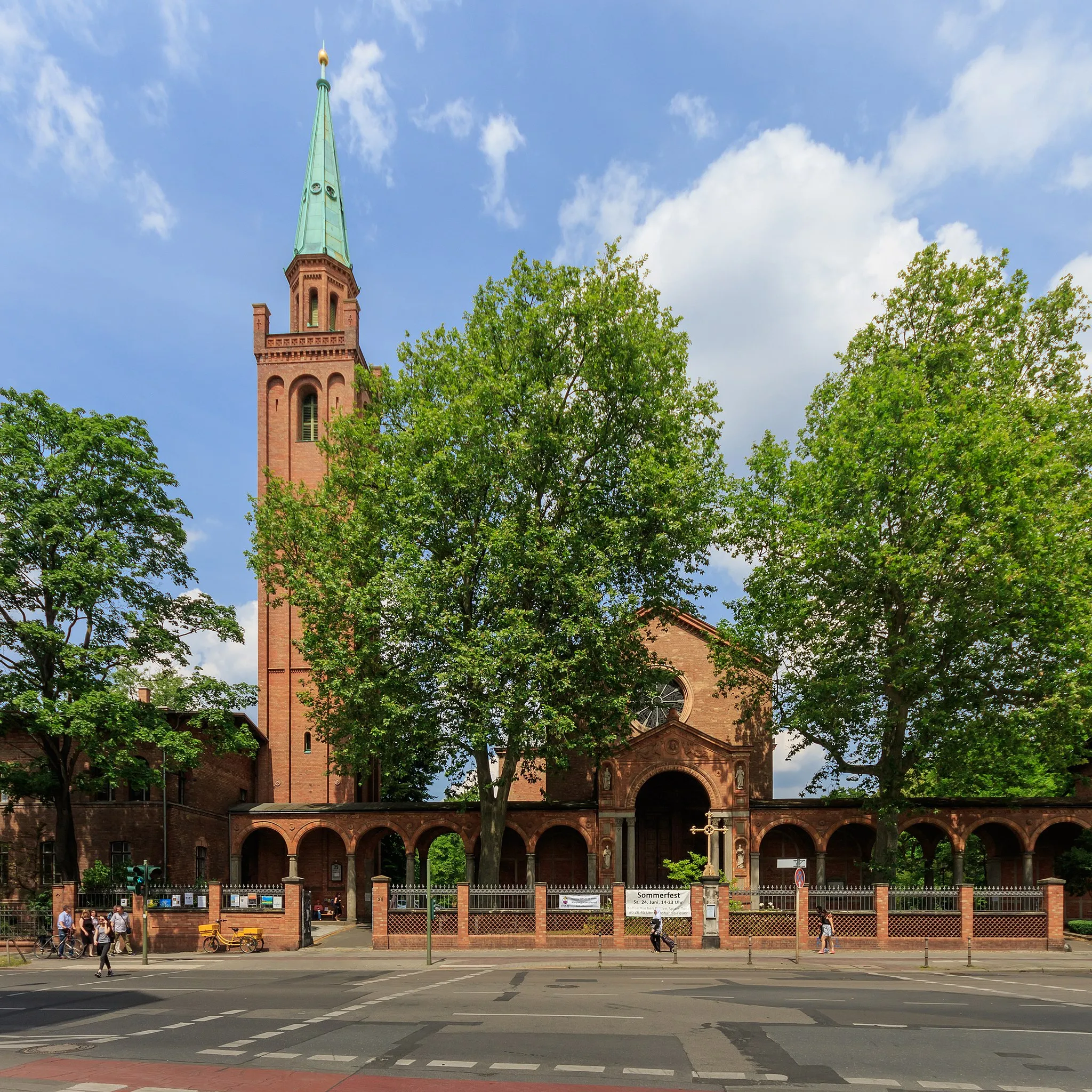
Start: Locality centerWedding: Discovering history while cycling in Wedding, Berlin
Wedding is a locality in Berlin, Germany that offers varied cycling opportunities. The area has a mix of urban streets and quiet residential roads, making it suitable for both road and gravel cyclists. One of the highlights for cyclists in this area is the possibility to ride along the Berlin Wall Trail, which offers a unique historical experience. Additionally, Wedding is close to Volkspark Rehberge, a large park with bike paths and beautiful green areas. Cyclists can also explore nearby neighborhoods such as Tiergarten and Moabit. Wedding is a diverse locality that caters to the interests of all types of cyclists.2 km
2 km
Humboldthöhe84 mPeakTake a break at Humboldthöhe, a scenic hill offering picturesque views of the surrounding countryside.
5 km
5 km
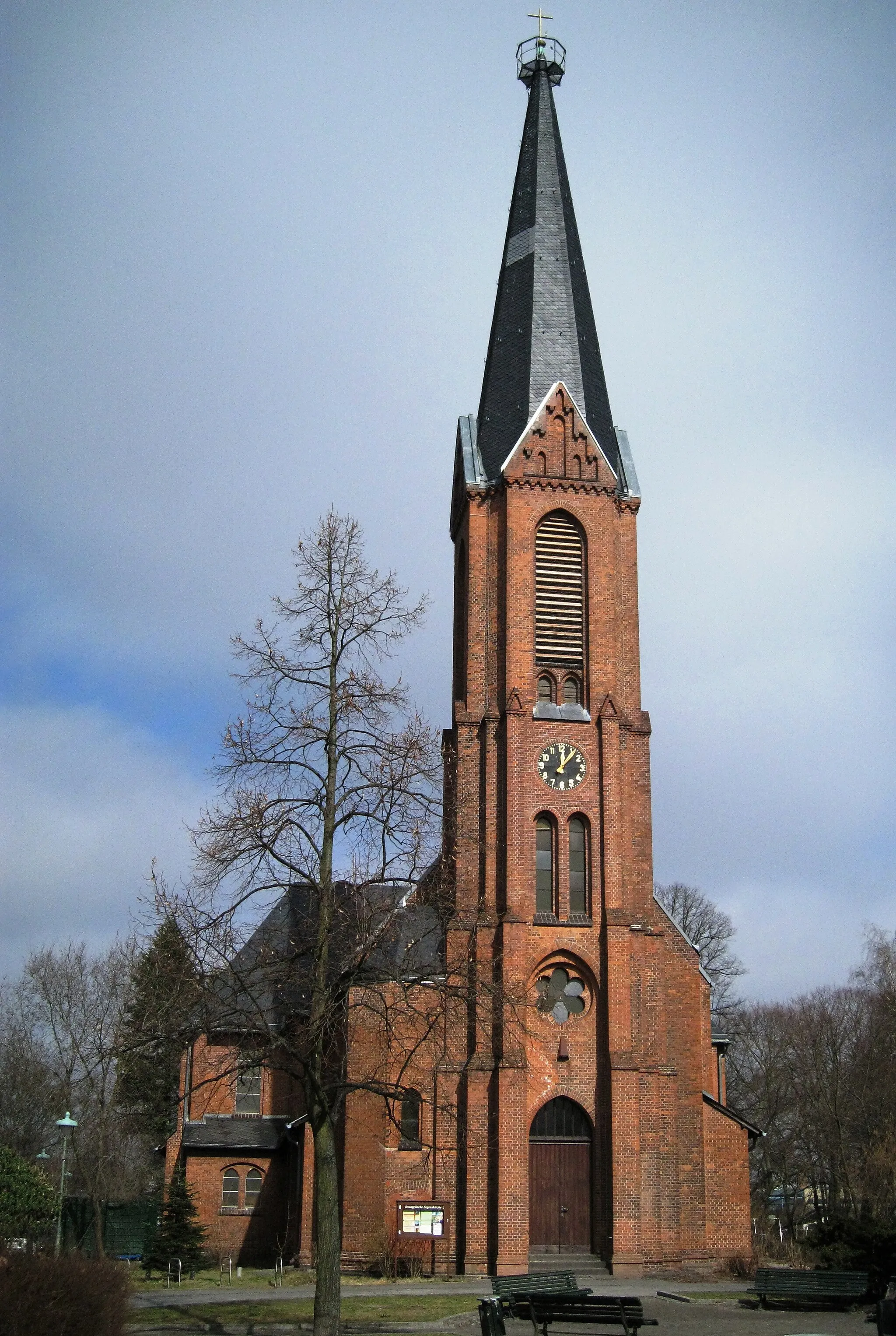
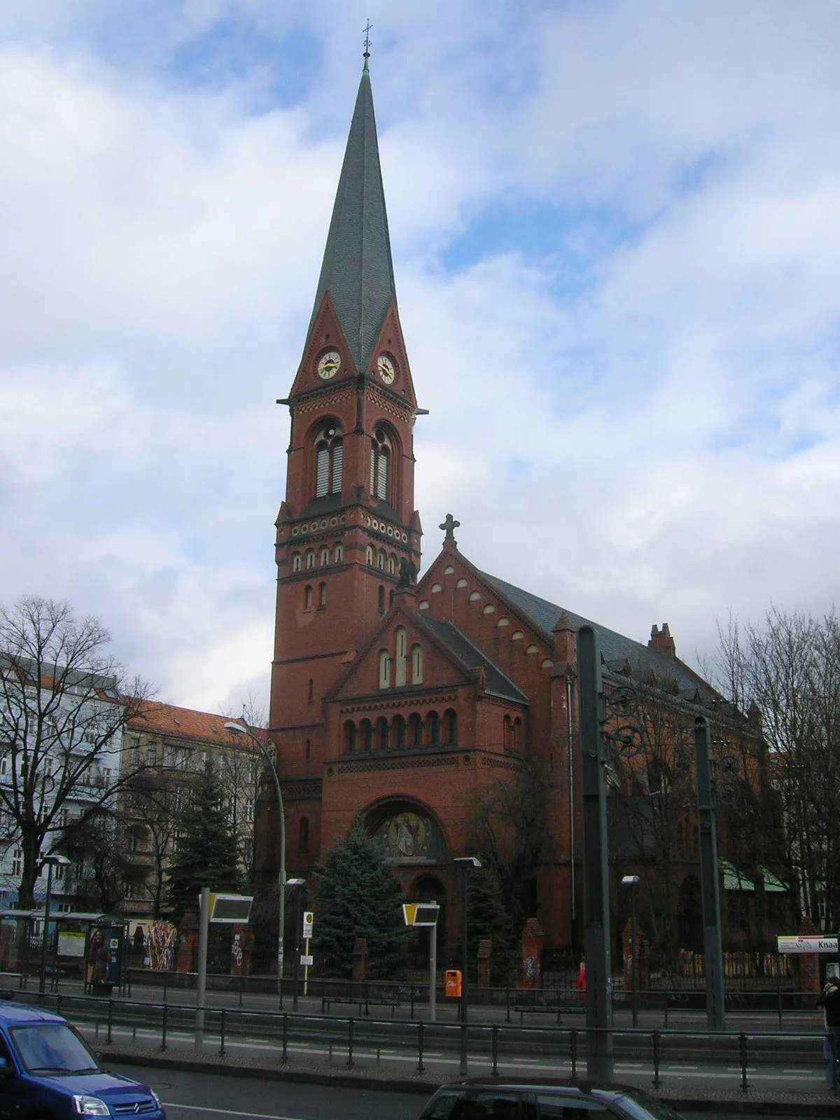
PankowSub-urbCycle through Pankow, a charming neighborhood known for its historical buildings and cultural significance.
14 km
14 km
Dählingsberg56 mPeakExplore Dählingsberg, an elevated site that was once home to a medieval castle.
24 km
24 km
BasdorfVillageDiscover Basdorf, a picturesque village renowned for its traditional half-timbered houses.
43 km
43 km
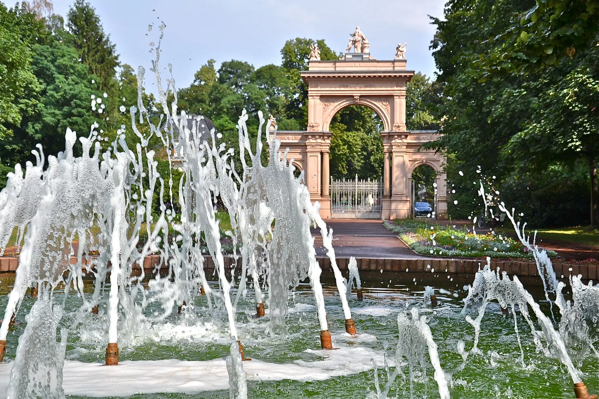
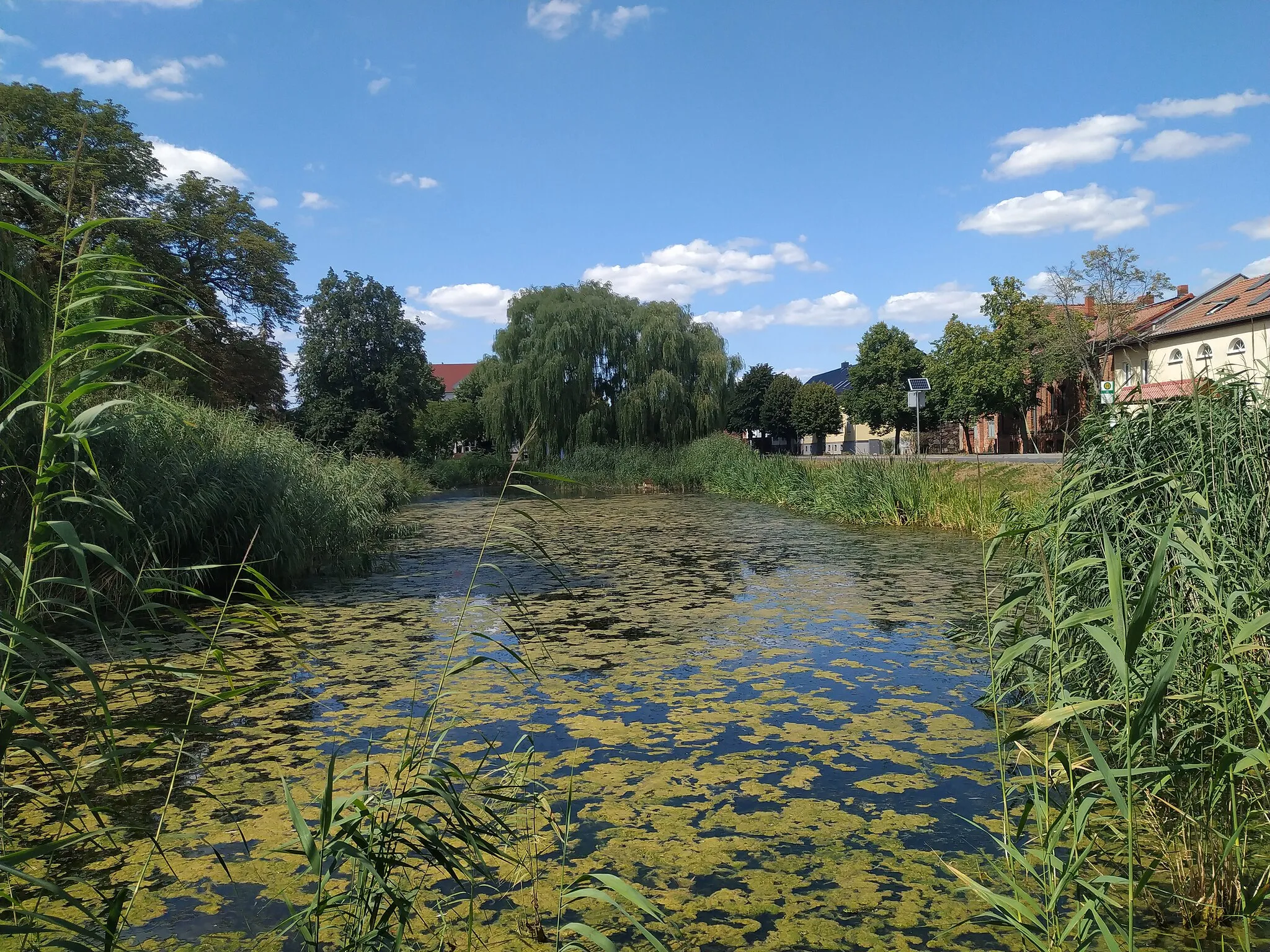
BiesenthalTownVisit Biesenthal, a tranquil town showcasing architectural landmarks and a serene lake.
44 km
44 km
Wehrmühlberg60 mPeakMarvel at Wehrmühlberg, a prominent hill offering magnificent views of the countryside.
67 km
67 km
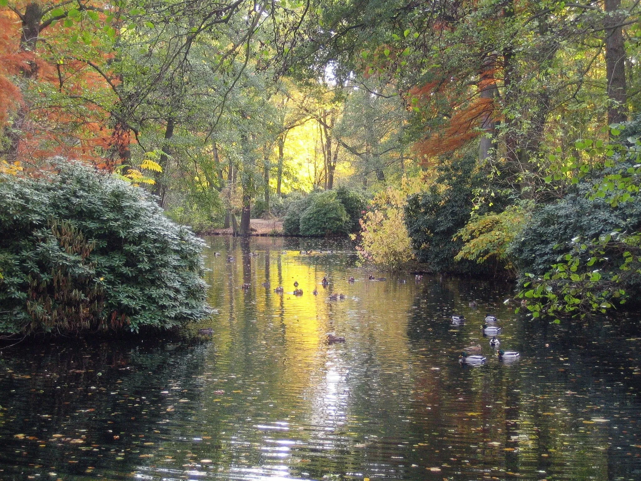
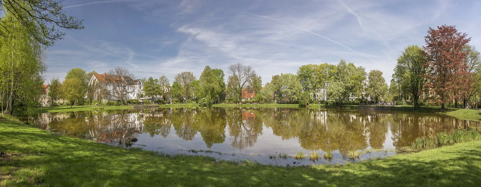
BlumbergVillagePause at Blumberg, a nature reserve featuring diverse flora and fauna.
83 km
83 km
Großer Bunkerberg78 mPeakWander around Großer Bunkerberg, a massive bunker complex that gives a glimpse into history.
85 km
85 km
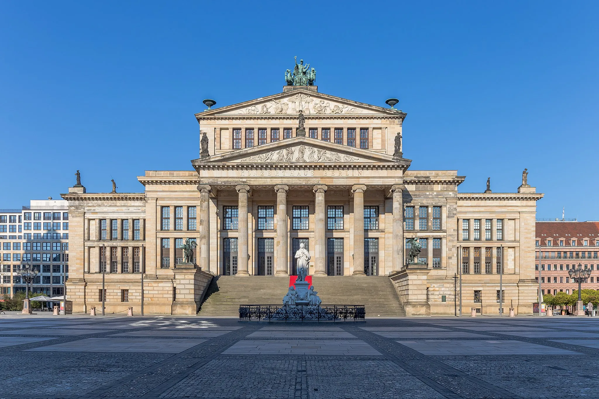
Fernsehturm BerlinAttractionDon't miss the chance to see the iconic Fernsehturm Berlin, a symbol of the city's skyline.
90 km
90 km
Finish: Locality centerWedding: Discovering history while cycling in Wedding, Berlin
Cycling routes nearby: