Kahleberg Loop
A road cycling route starting from Callenberg
A scenic road route with challenging ascents
Map
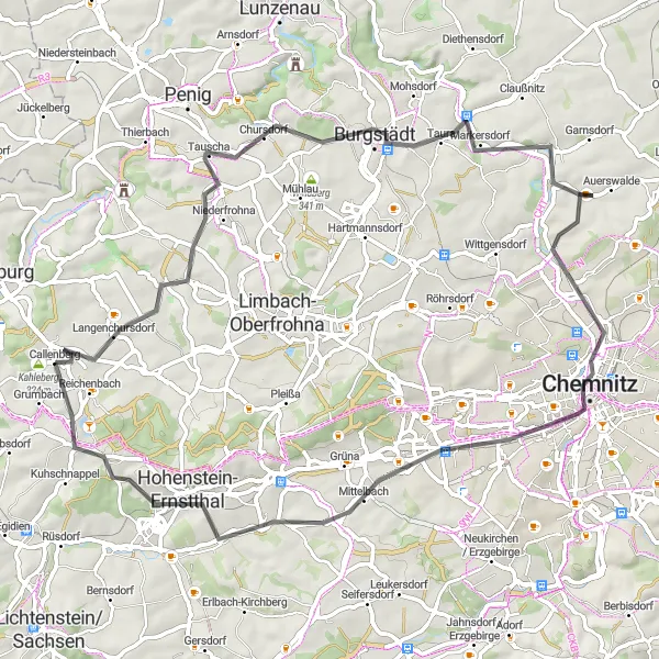
Experience a scenic road route starting near Callenberg that takes you through picturesque landscapes and challenging ascents. The route covers a distance of 68 km with a total ascent of 633 meters. It offers breathtaking views, including the Kahleberg peak. This route is suitable for well-trained amateurs looking for a challenging ride with beautiful scenery.
road
68 km
633 m
Tough
Route profile
Highlights on the route
0 km
0 km
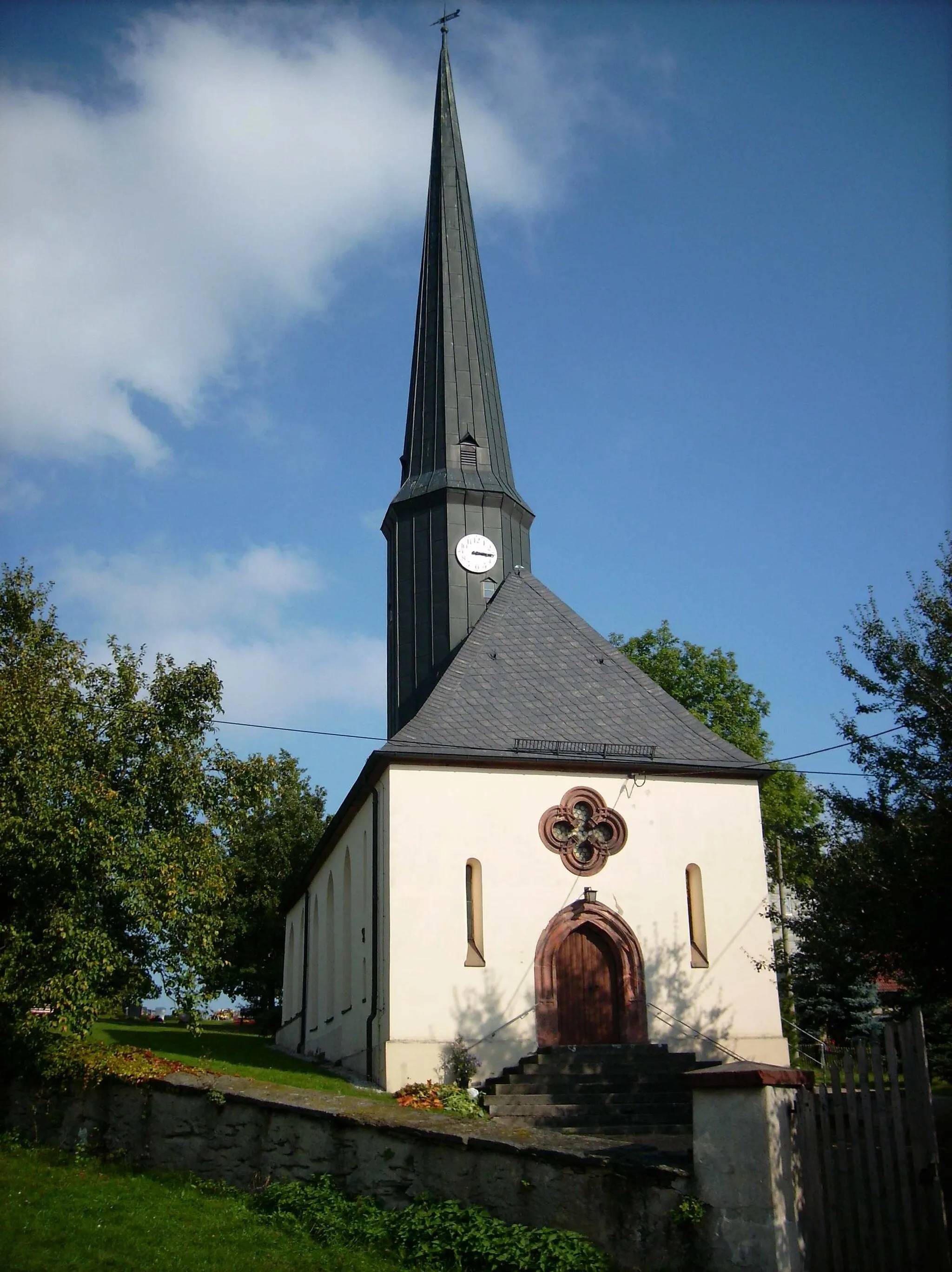
Start: Callenberg Village centerCallenberg: Explore Callenberg's diverse landscapes and conquer the legendary Geyerscher Wald.
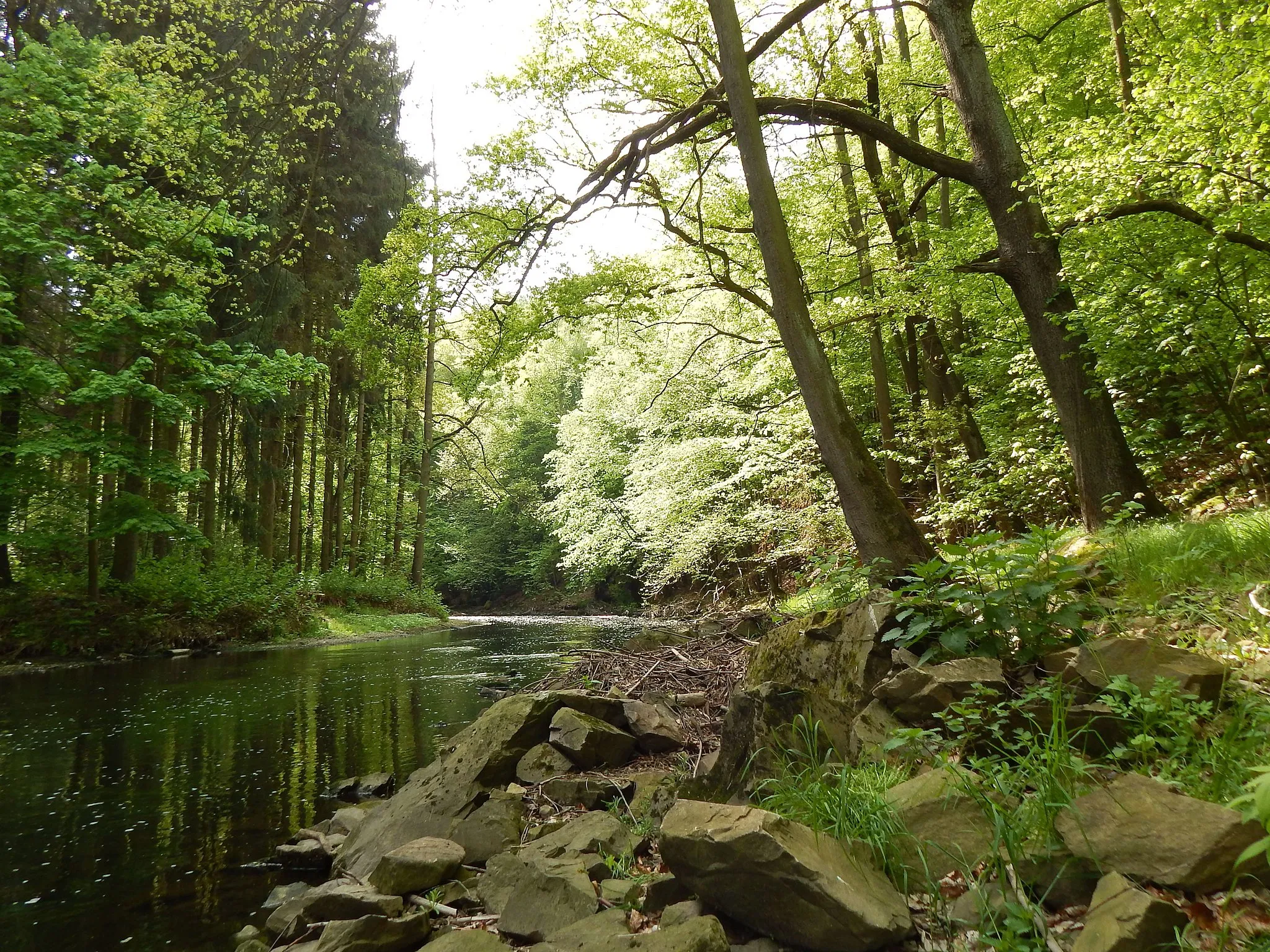
Callenberg, located in the Chemnitz region of Germany, offers a mix of scenic landscapes and historical sites for cyclists to explore. The area is known for its lush forests and rolling hills, creating an ideal environment for off-road and gravel cycling. Cyclists can discover the various trails in the nearby Erzgebirge Mountains, offering challenging climbs and thrilling descents. Callenberg is also home to the famous climb of Geyerscher Wald, attracting cyclists seeking a demanding ascent. Moreover, cyclists can visit historical sites such as the iconic Callenberg Castle. With its combination of natural beauty and cultural heritage, Callenberg is a great destination for adventurous cyclists.0 km
0 km
Kahleberg324 mPeakLocated along the route, Kahleberg offers panoramic views of the surrounding landscape.
3 km
3 km
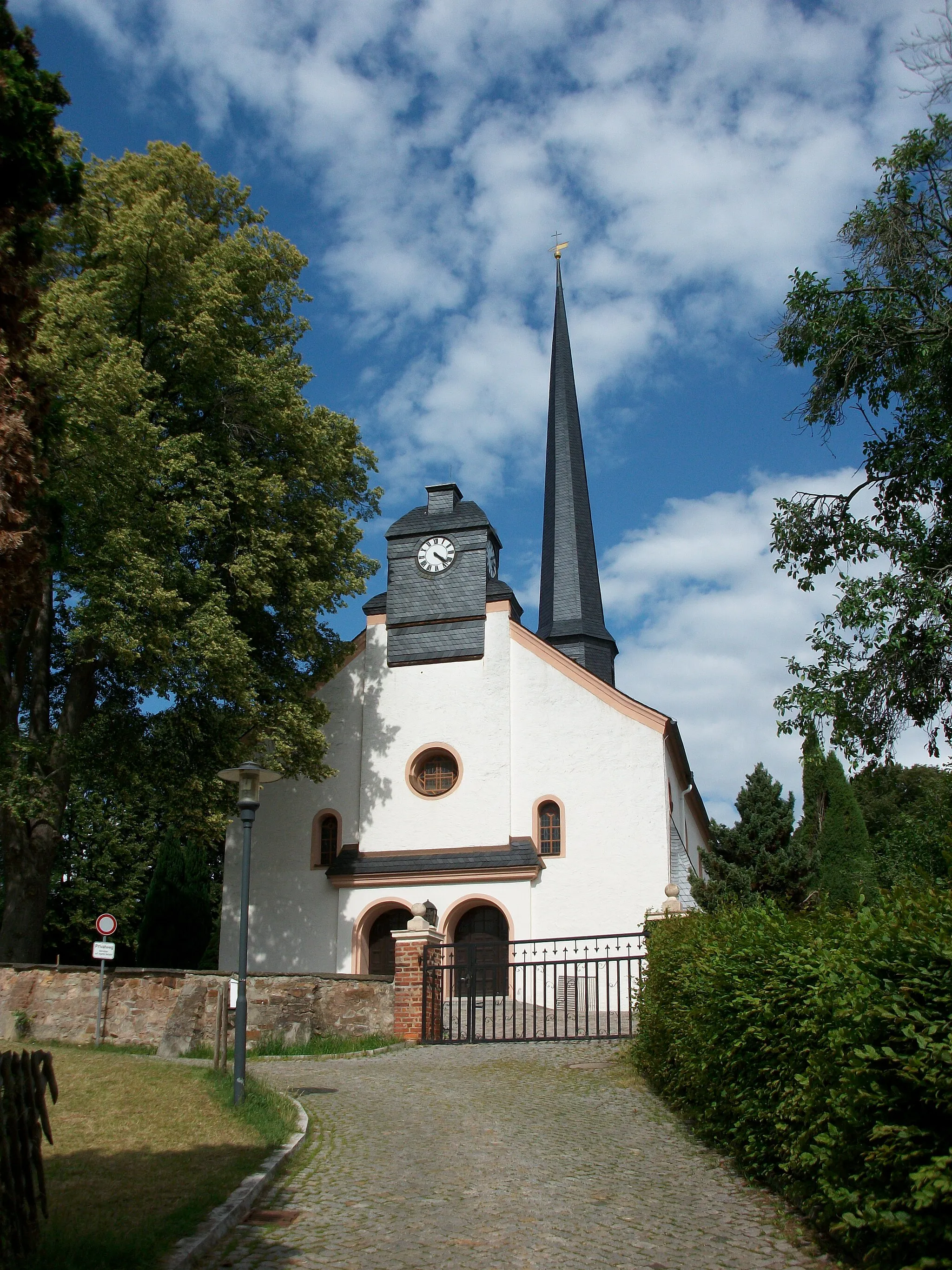
LangenchursdorfVillageLangenchursdorf, a small village with charming architecture.
16 km
16 km
Sandberg289 mPeak20 km
20 km
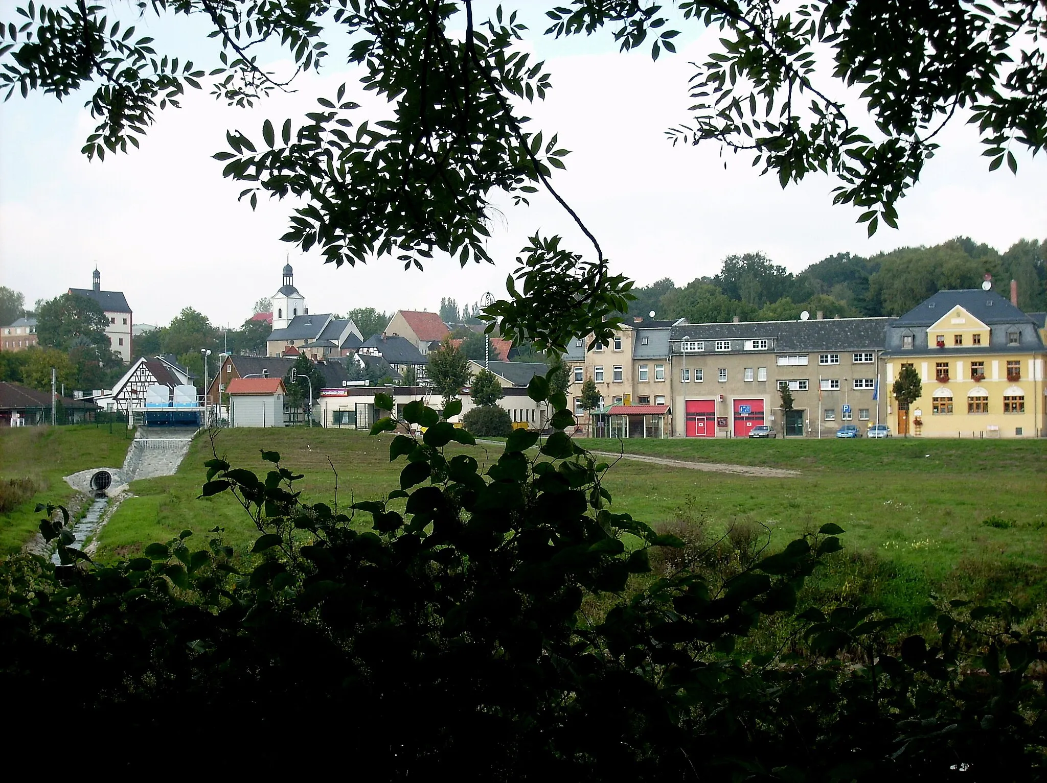
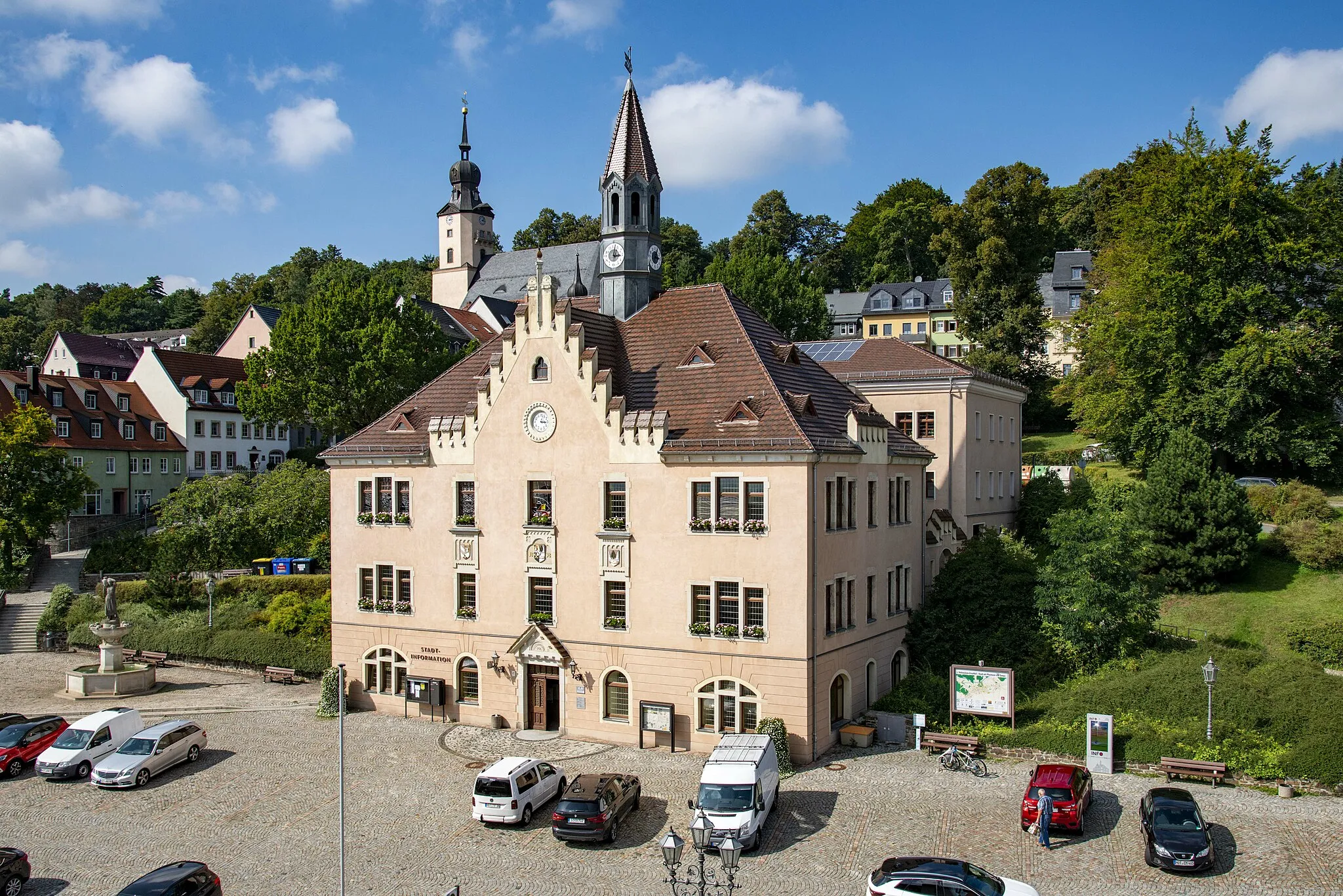
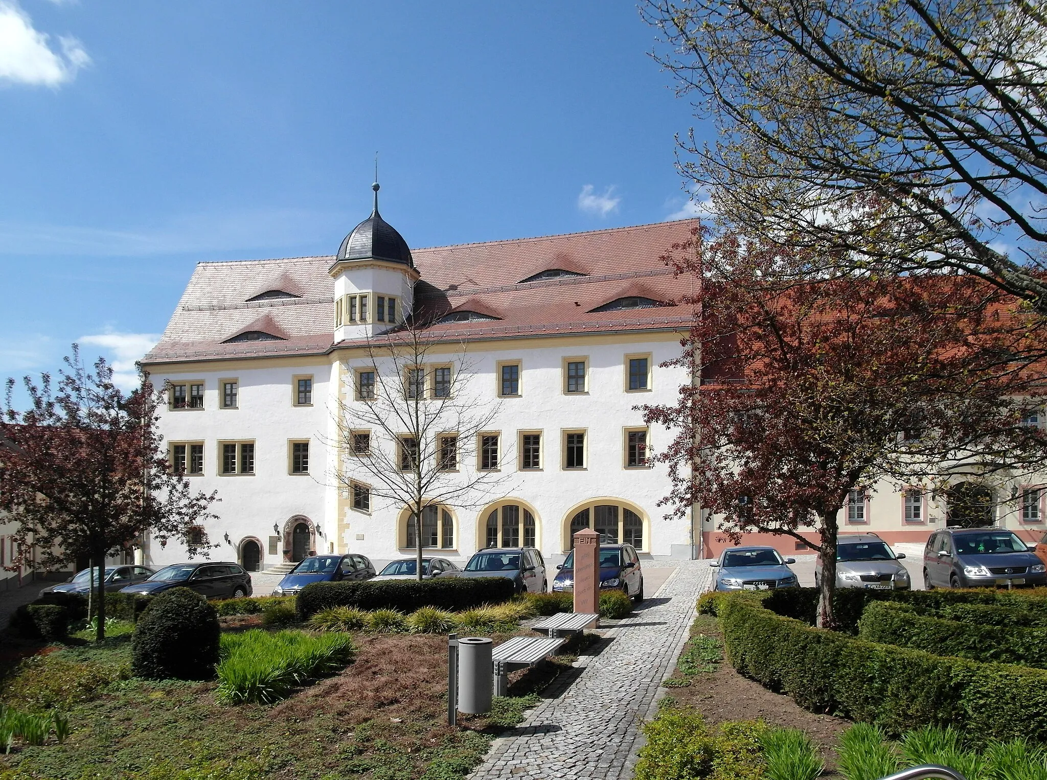
BurgstädtTownExplore the charming town of Burgstädt.
30 km
30 km
SchustersteinViewpointSchusterstein, a unique rock formation.
37 km
37 km
FurthSub-urbPassing through Furth and its scenic countryside.
56 km
56 km
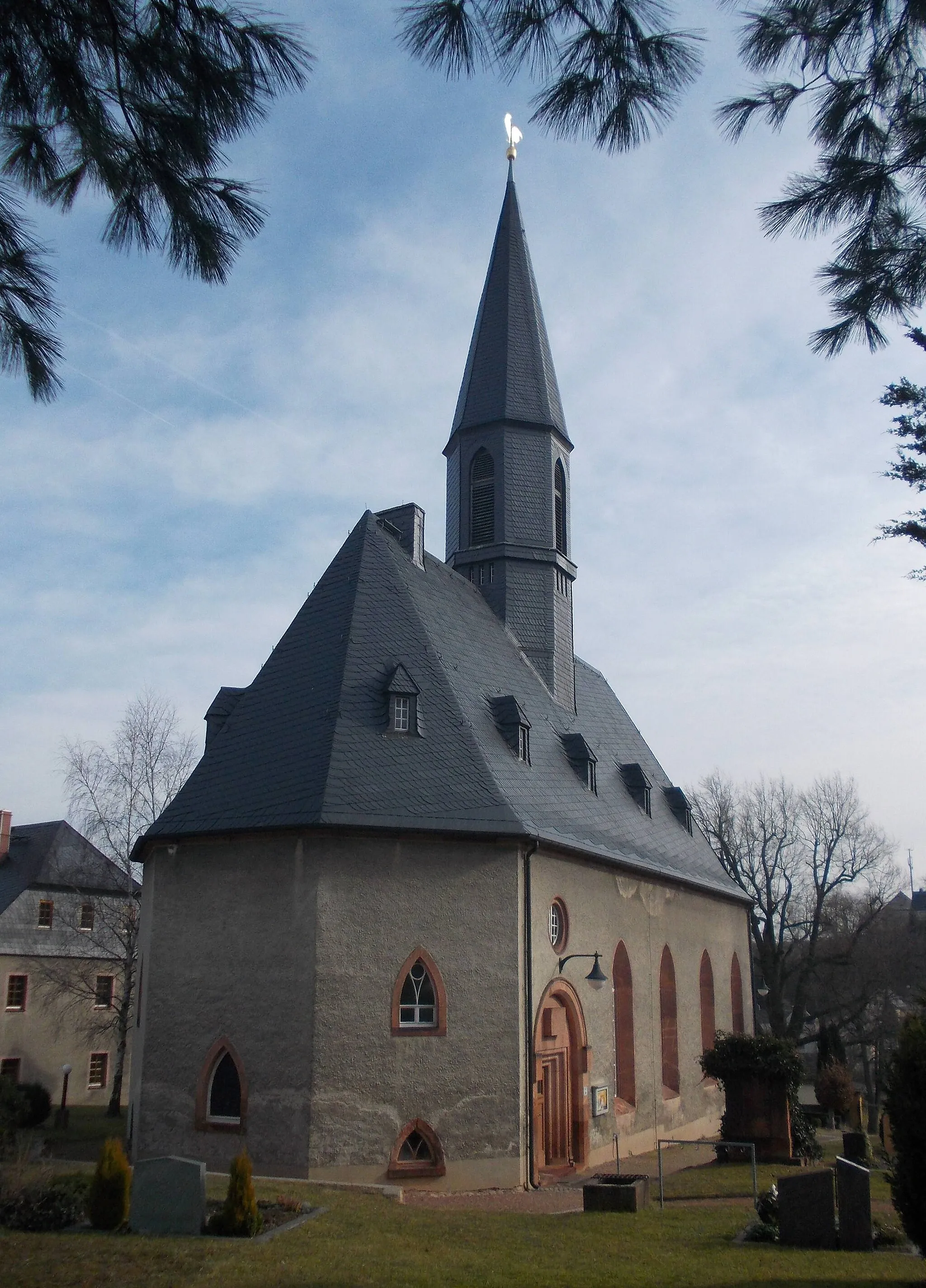
OberlungwitzTownVisit Oberlungwitz and its historic sites.
61 km
61 km
Lutherhöhe432 mPeakLutherhöhe, a religious landmark.
65 km
65 km
TirschheimHamletTirschheim, known for its beautiful landscapes and historic buildings.
68 km
68 km
Finish: Callenberg Village centerCallenberg: Explore Callenberg's diverse landscapes and conquer the legendary Geyerscher Wald.
Cycling routes from Callenberg:
Exploring the Natural Gems of Callenberg Gravel Route The Road to Discoveries: Callenberg Road Cycling Adventure Kahleberg Loop Gravel Adventure Chemnitz Gravel Loop Langenchursdorf Road Adventure Scenic Gravel Delights: Callenberg to Agricultural Bliss Zwickau Adventure Hidden Gems of Callenberg Gravel Route The Ultimate Road Cycling Challenge: Callenberg Circuit Callenberg Gravel Adventure Chemnitzer Road Adventure
Cycling routes nearby: