Gravel Adventure to Hirschstein and Tischberg
A gravel cycling route starting from Lengenfeld
A gravel adventure route to Hirschstein and Tischberg
Map

Embark on this gravel adventure route starting near Lengenfeld, which will take you to the scenic spots of Hirschstein and Tischberg. With a distance of 58 km and an ascent of 785 m, it offers a moderate challenge. The route is suitable for well-trained amateur cyclists who enjoy off-road riding. Get ready for an epic adventure through gravel paths and discover the hidden gems along the way.
gravel
58 km
785 m
Tough
Route profile
Highlights on the route
0 km
0 km
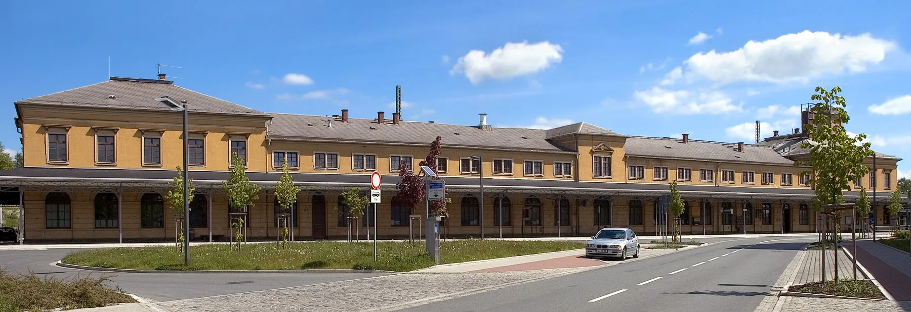
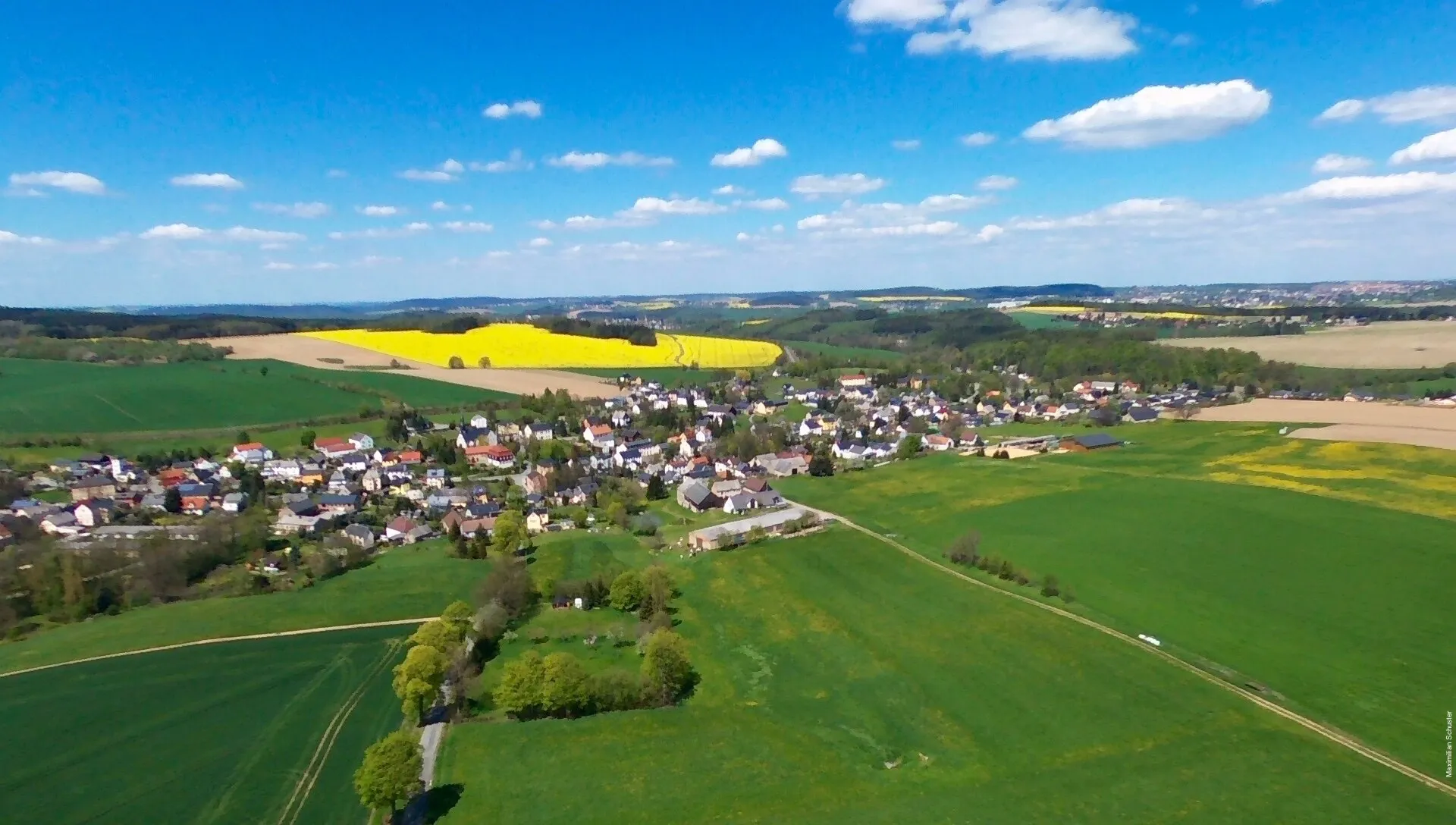
Start: Lengenfeld City centerLengenfeld: Escape the crowds and enjoy the peaceful cycling routes of Lengenfeld.
Lengenfeld is a locality in Chemnitz, Germany. While Lengenfeld may not be regarded as a prominent cycling destination, it does offer pleasant routes through its tranquil countryside. The roads are well-marked and suitable for both road and gravel cyclists. Cyclists looking for a peaceful and less-traveled area to explore will appreciate Lengenfeld's scenic landscapes.10 km
10 km
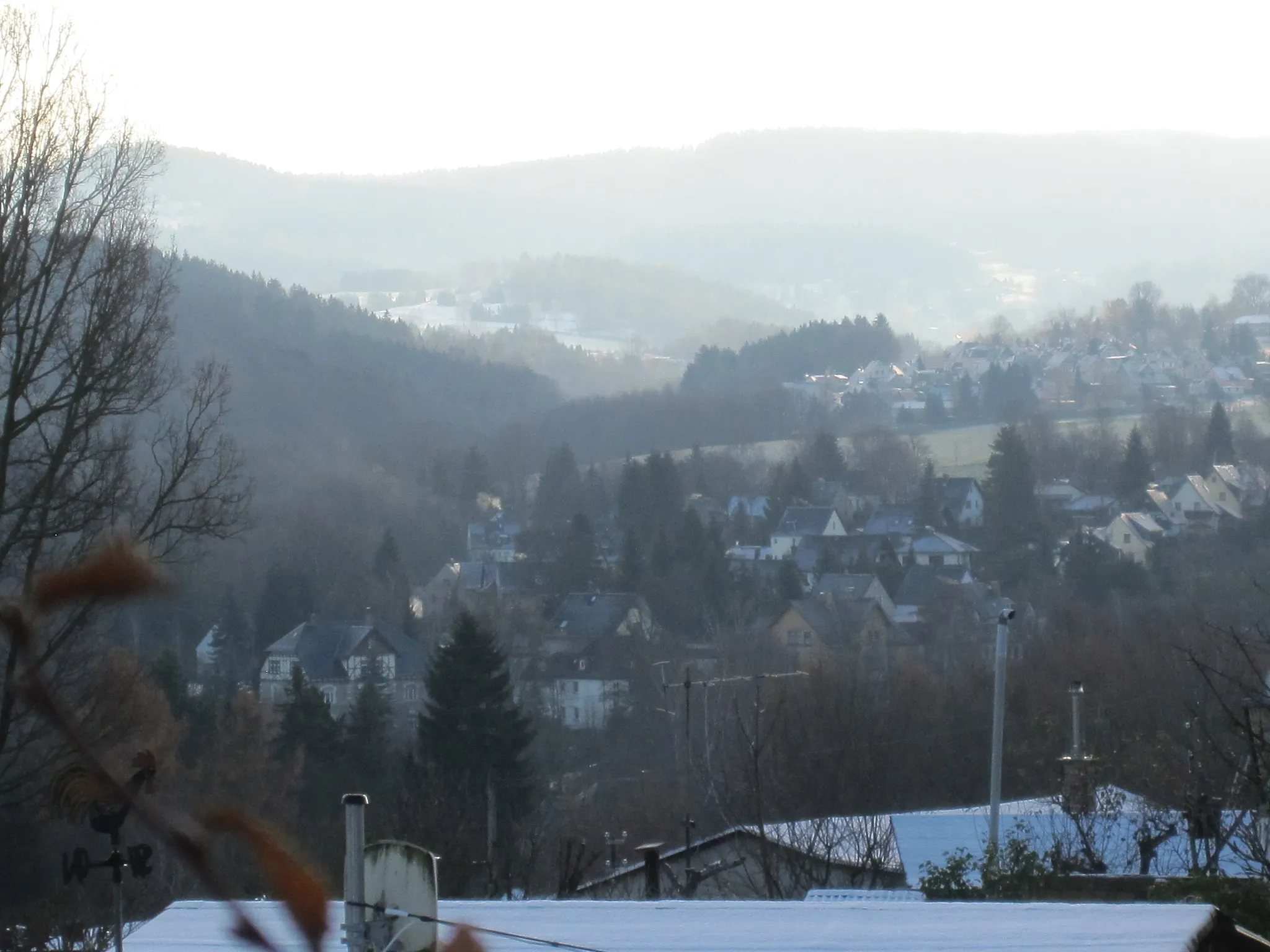
HirschsteinViewpointHirschstein is a picturesque village surrounded by nature.
11 km
11 km
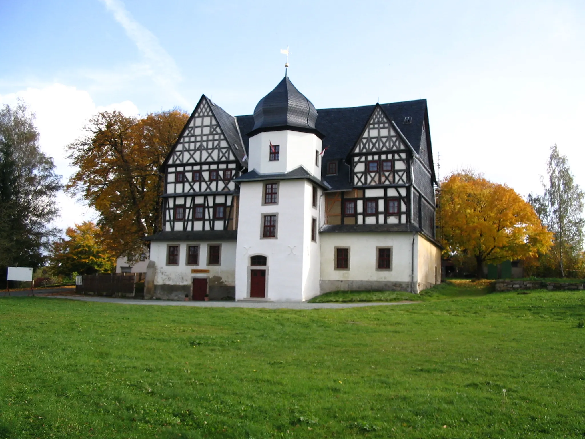
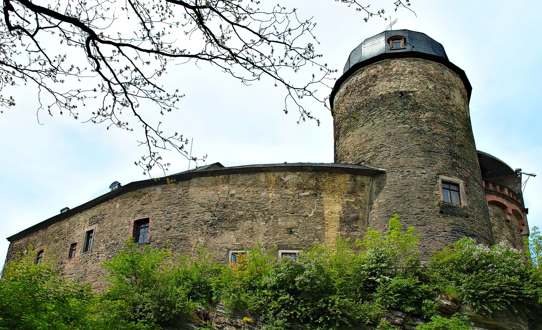
MylauSub-urbMylau is known for its medieval castle and charming old town.
20 km
20 km
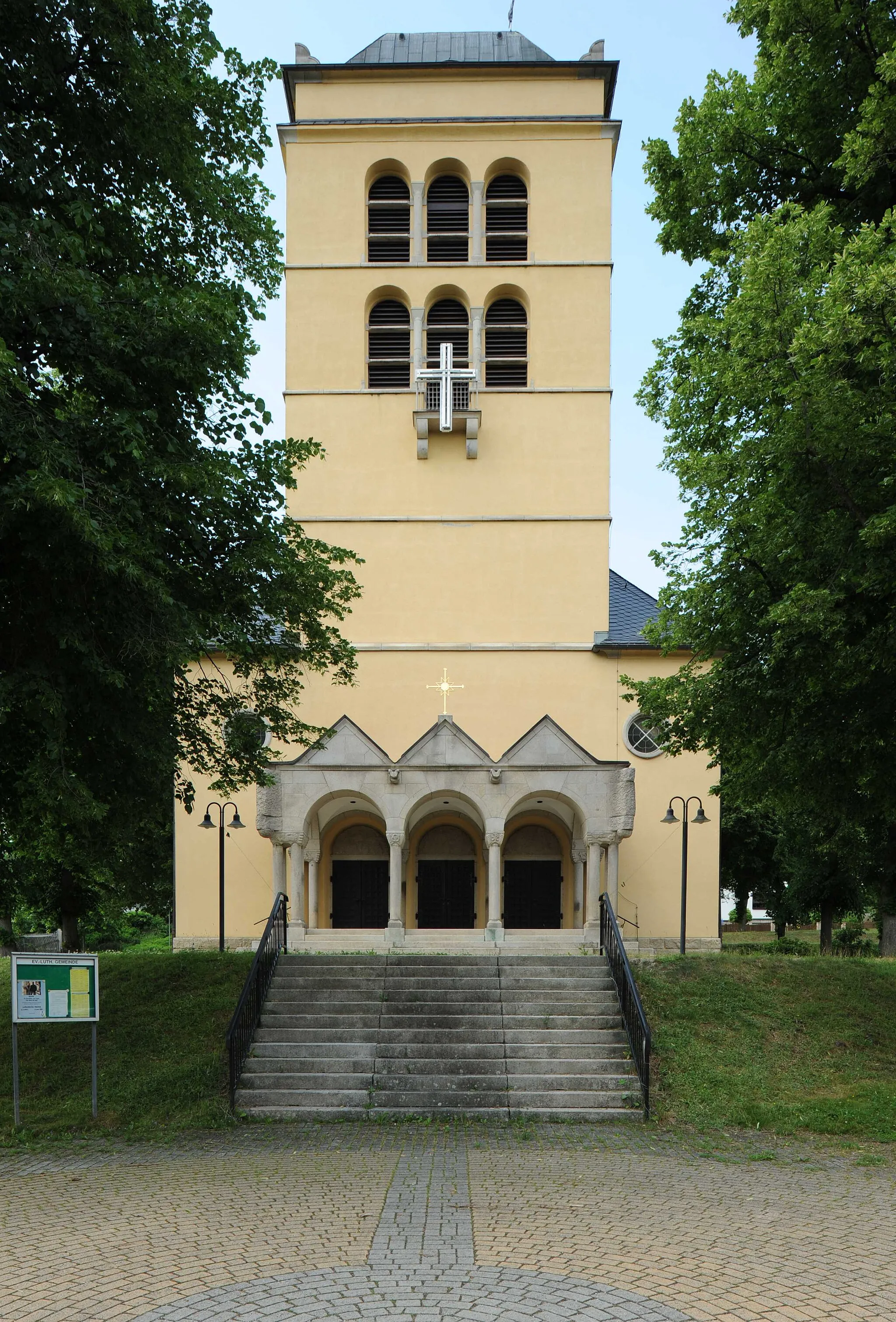
MohlsdorfVillageMohlsdorf is home to a beautiful palace and a peaceful park.
28 km
28 km
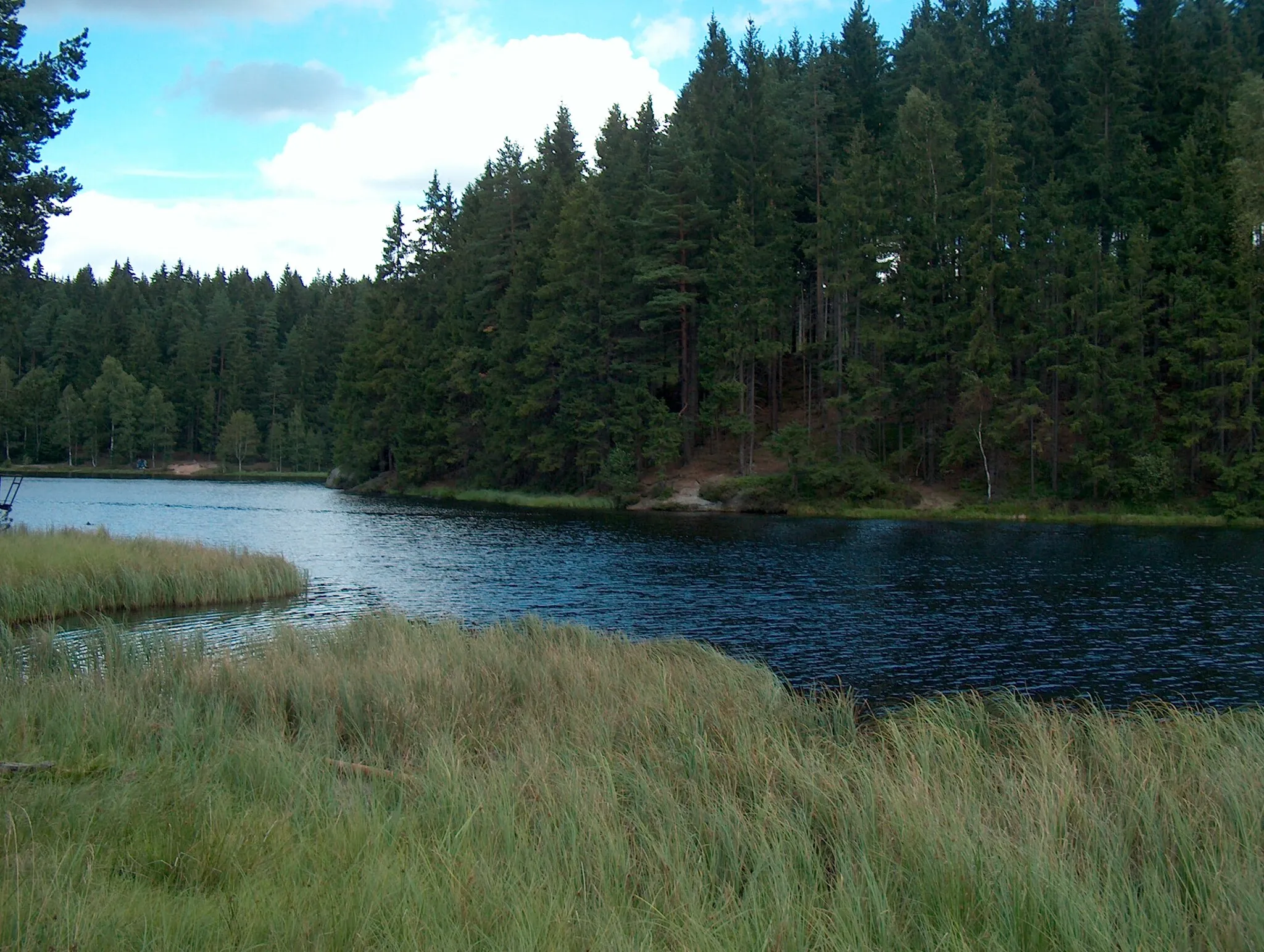
Tischberg394 mPeakTischberg offers stunning panoramic views and is a perfect spot to appreciate nature.
41 km
41 km
LichtentanneVillageLichtentanne is a charming village with lovely landscapes.
43 km
43 km
Auersberg374 mPeakAuersberg is a small village with traditional architecture.
53 km
53 km
Marienhöhe495 mPeakMarienhöhe is a high point with breathtaking views of the surrounding countryside.
59 km
59 km
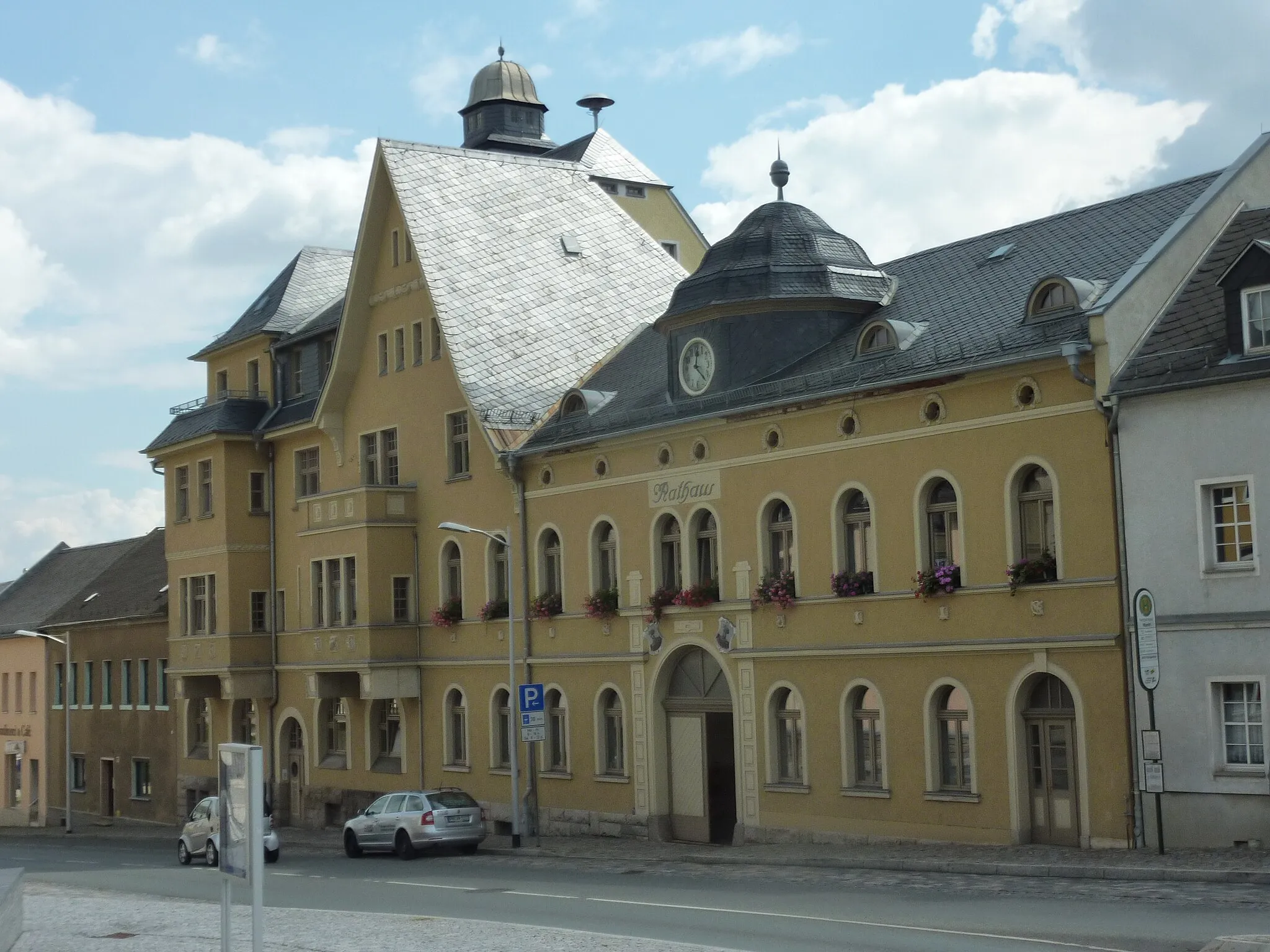
LengenfeldTownLengenfeld is the starting point and offers plenty of cycling amenities.
58 km
58 km
Finish: Lengenfeld City centerLengenfeld: Escape the crowds and enjoy the peaceful cycling routes of Lengenfeld.
Cycling routes from Lengenfeld:
Cycling routes nearby: