Road to Marienhöhe and Hauptmannsgrün
A road cycling route starting from Lengenfeld
A road cycling route to Marienhöhe and Hauptmannsgrün
Map

This road cycling route starting near Lengenfeld will take you to the scenic spots of Marienhöhe and Hauptmannsgrün. With a distance of 44 km and an ascent of 616 m, it offers a moderate challenge. The route is suitable for well-trained amateur cyclists. Enjoy the views and attractions along the way.
road
44 km
616 m
Tough
Route profile
Highlights on the route
0 km
0 km
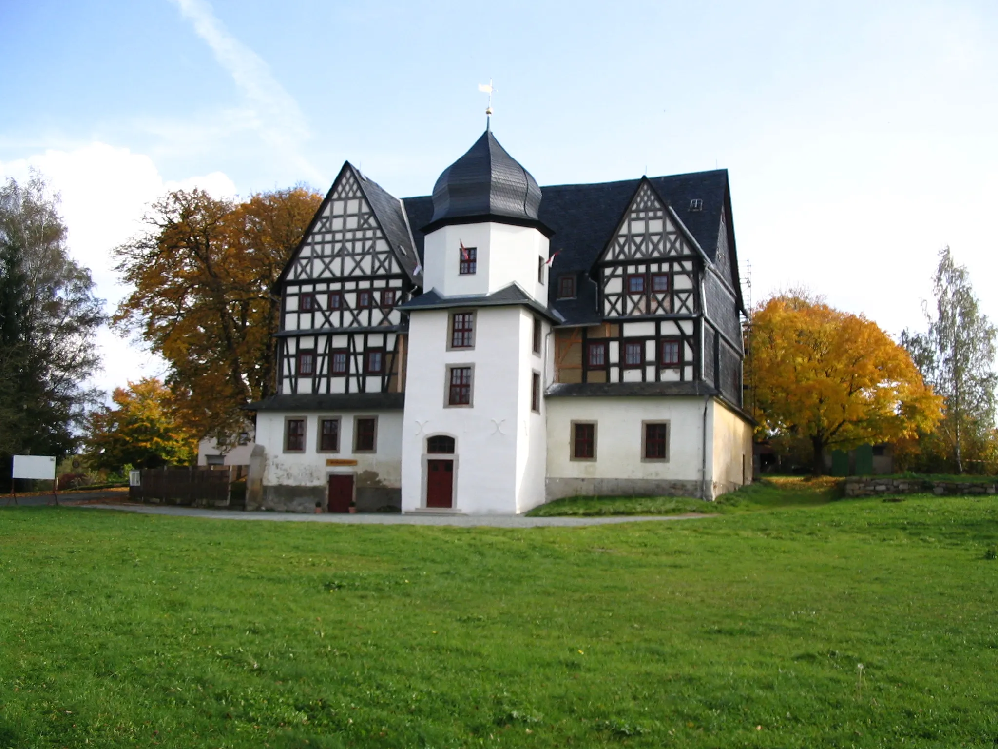
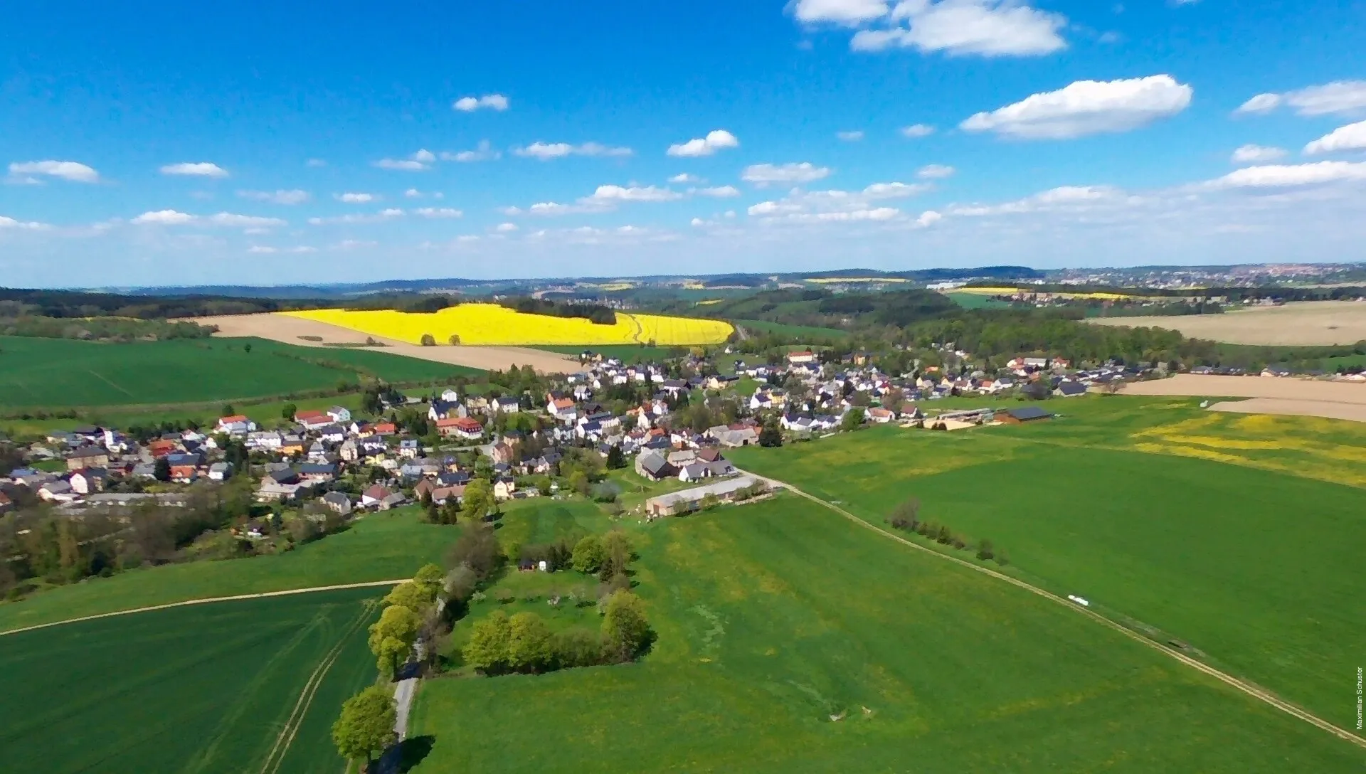
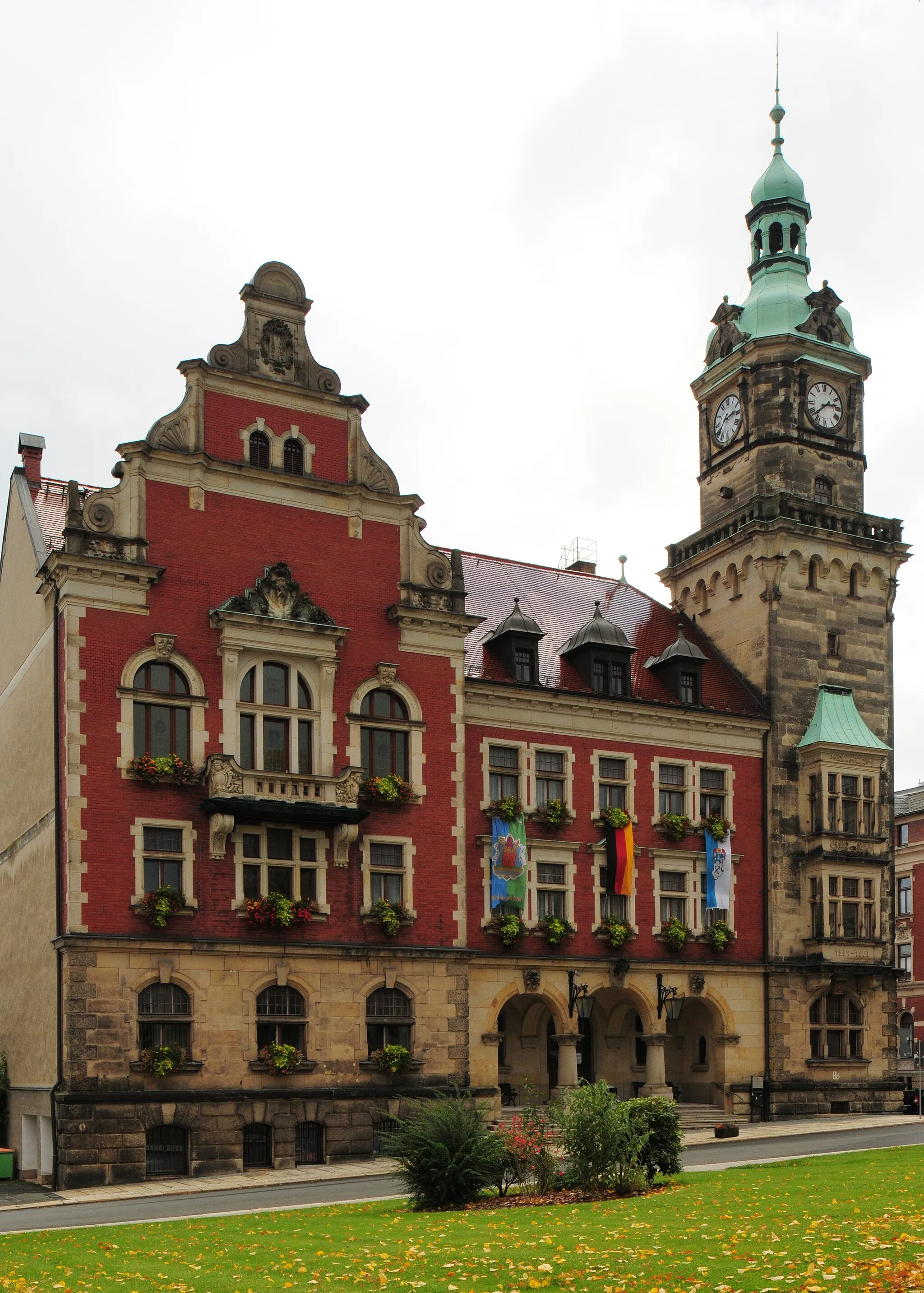
Start: Lengenfeld City centerLengenfeld: Escape the crowds and enjoy the peaceful cycling routes of Lengenfeld.
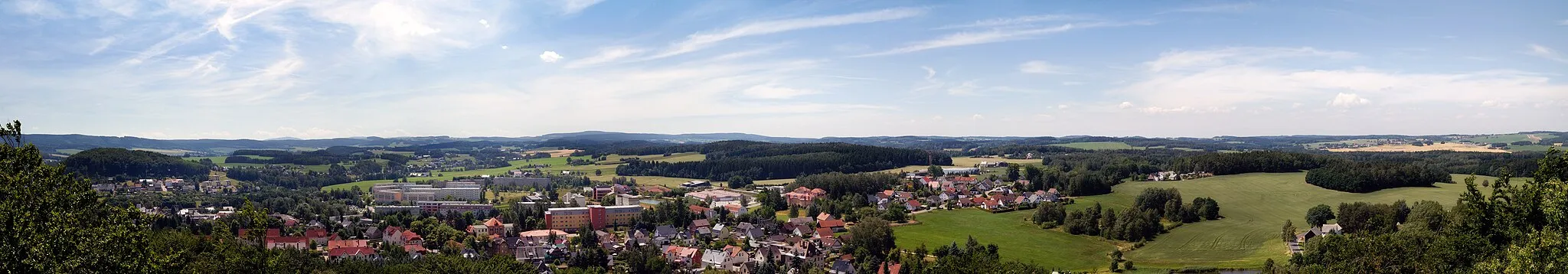
Lengenfeld is a locality in Chemnitz, Germany. While Lengenfeld may not be regarded as a prominent cycling destination, it does offer pleasant routes through its tranquil countryside. The roads are well-marked and suitable for both road and gravel cyclists. Cyclists looking for a peaceful and less-traveled area to explore will appreciate Lengenfeld's scenic landscapes.5 km
5 km
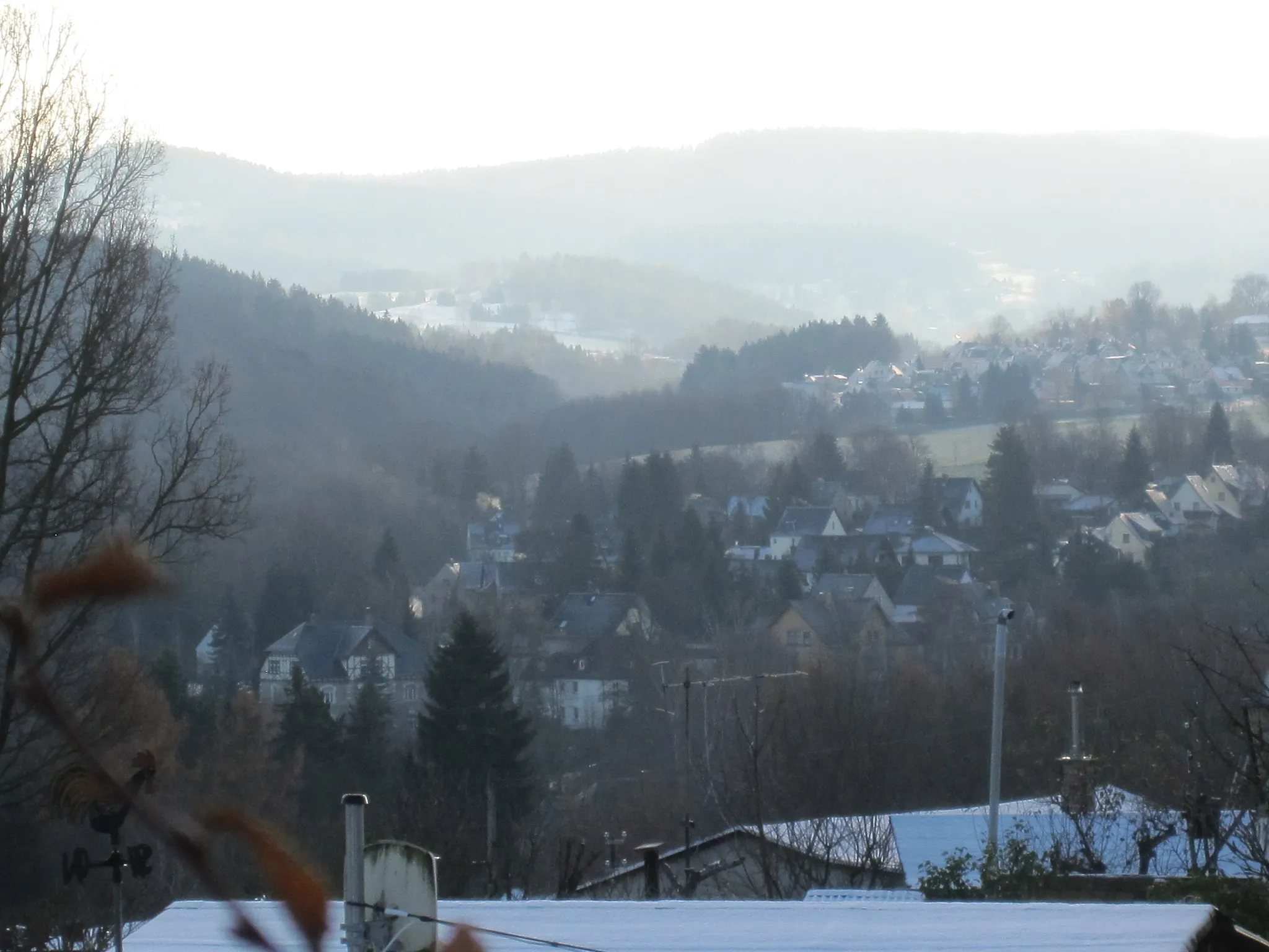
Marienhöhe495 mPeakMarienhöhe offers panoramic views and is a popular viewpoint.
7 km
7 km
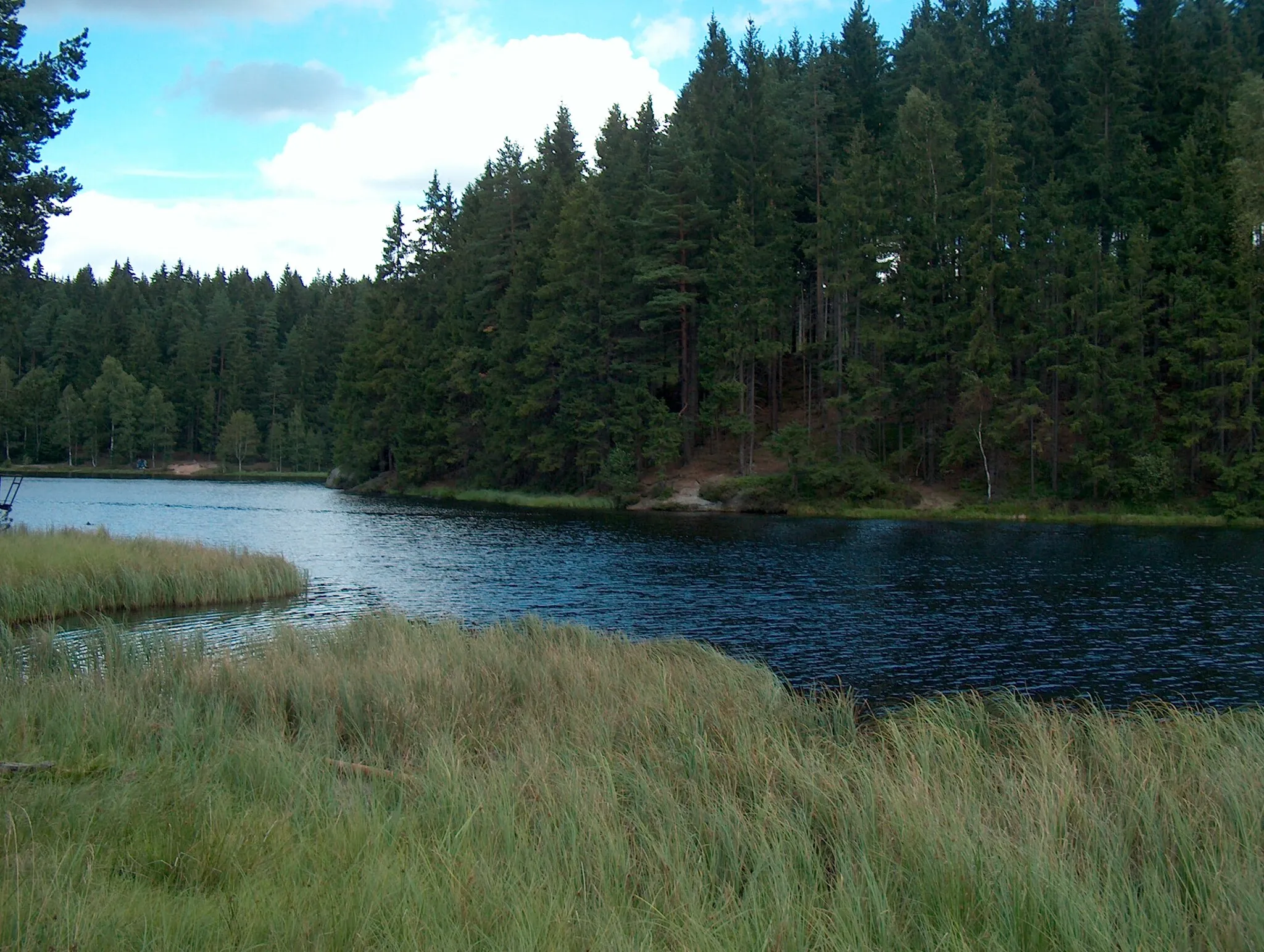
HauptmannsgrünVillageHauptmannsgrün is known for its picturesque landscapes and serene atmosphere.
21 km
21 km
Schützenhöhe438 mPeakSchützenhöhe is a hilltop spot where you can enjoy a peaceful break.
22 km
22 km
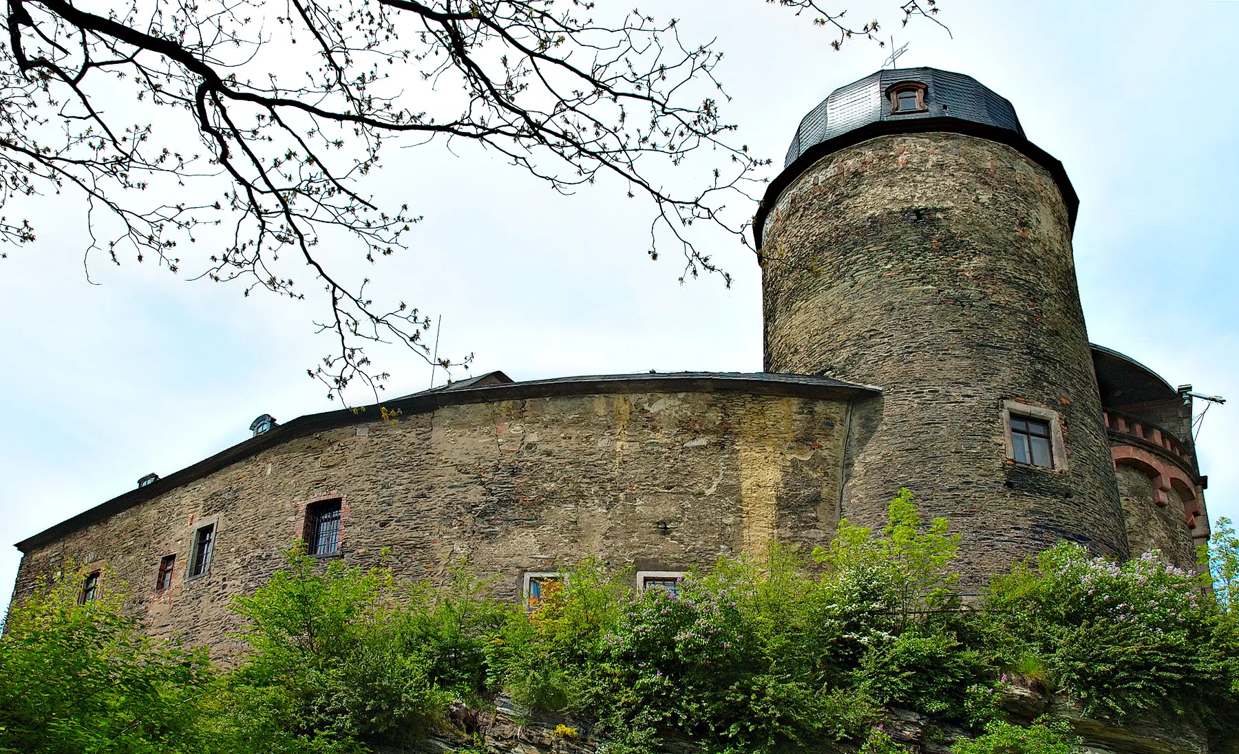
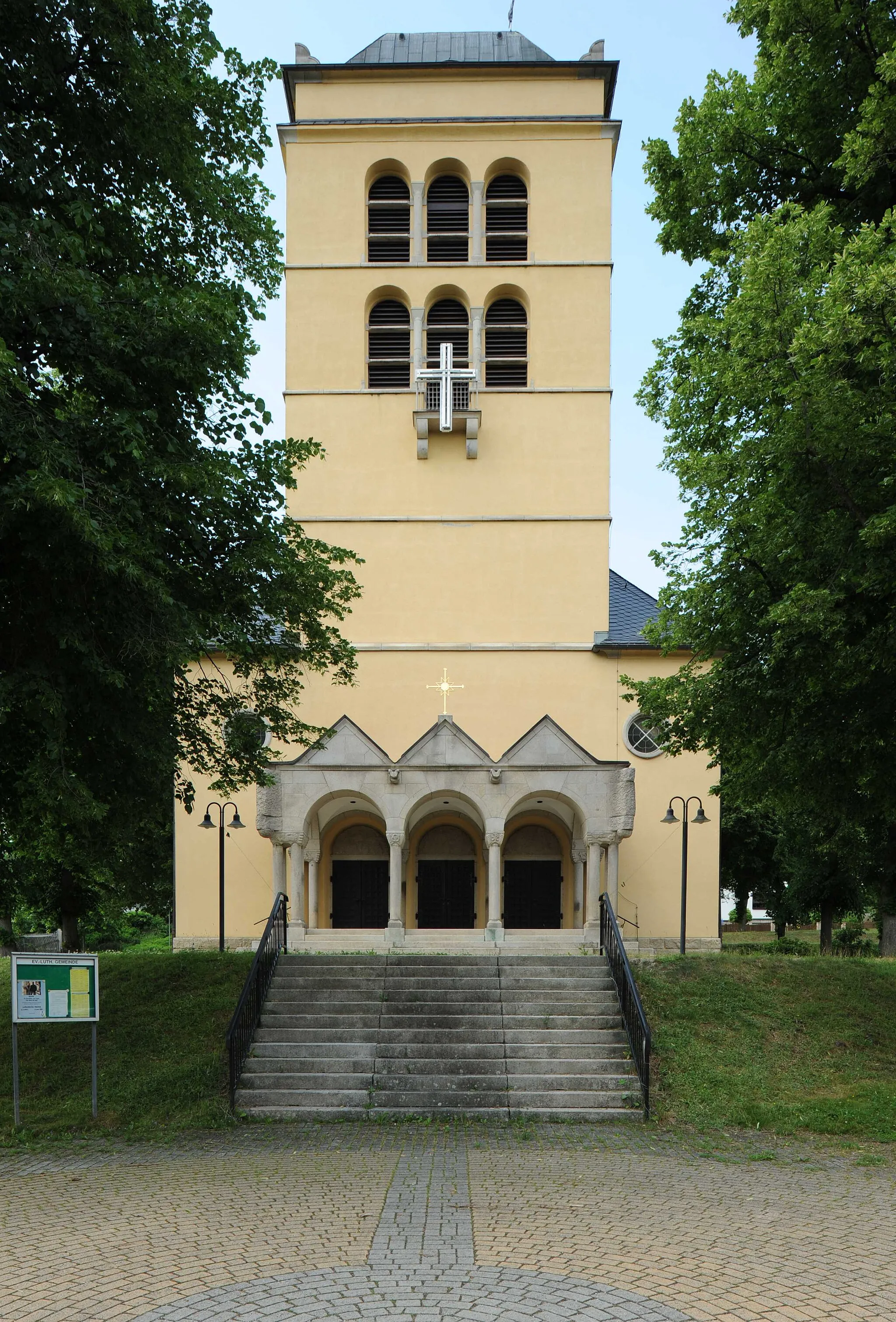
KirchbergTownKirchberg is a charming village with a historic church.
27 km
27 km
GiegengrünVillageGiegengrün is a small village known for its traditional architecture.
29 km
29 km
Buchberg498 mPeakBuchberg offers beautiful natural surroundings and hiking trails.
38 km
38 km
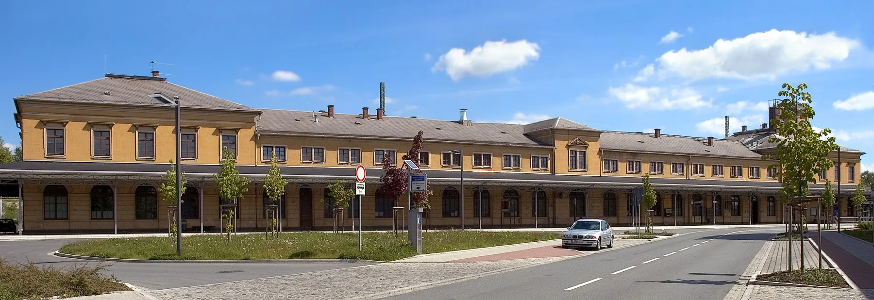
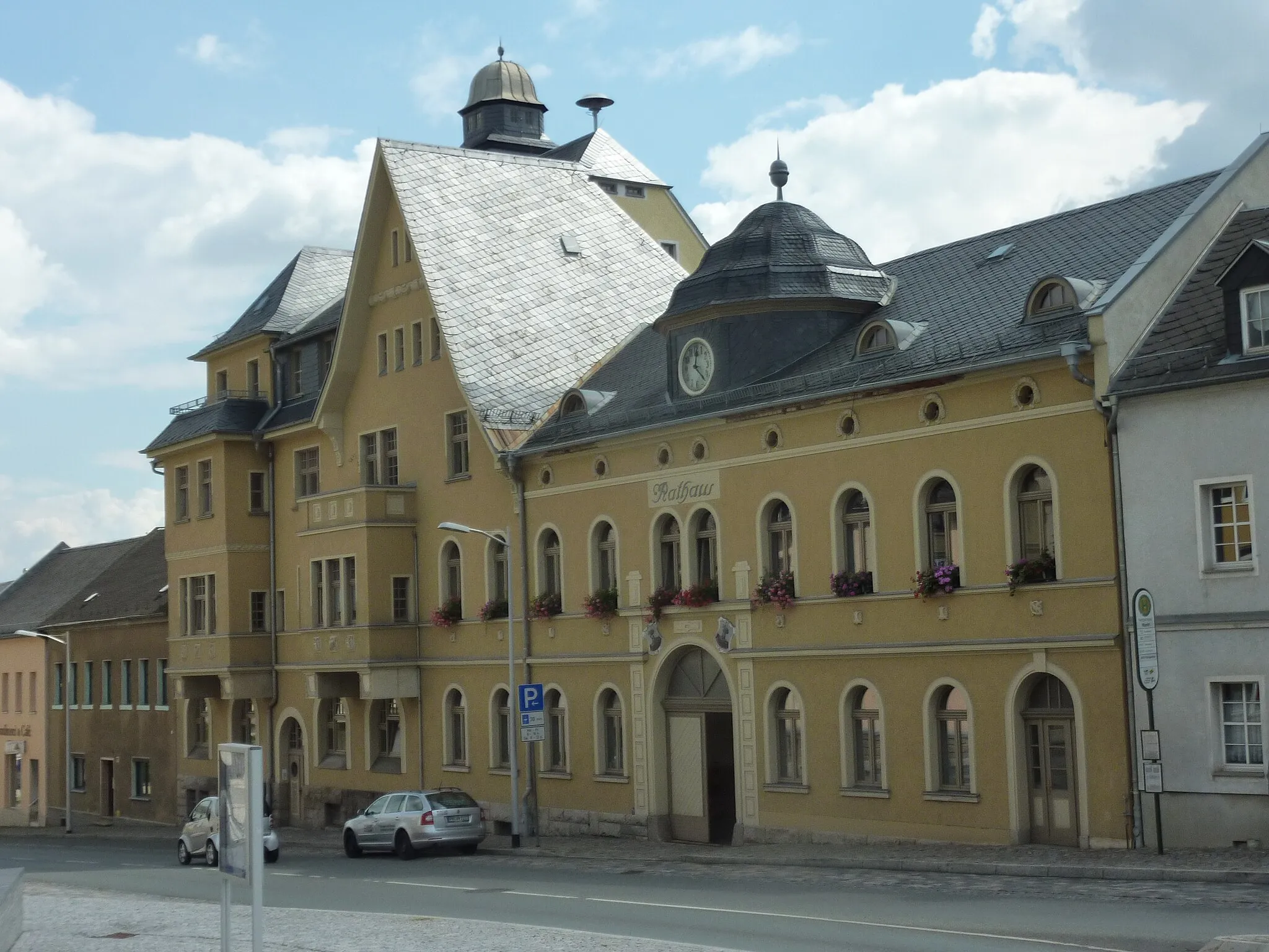
RodewischTownRodewisch is a town with historical buildings and a vibrant atmosphere.
44 km
44 km
LengenfeldTownLengenfeld is the starting point and also offers several interesting attractions.
44 km
44 km
Finish: Lengenfeld City centerLengenfeld: Escape the crowds and enjoy the peaceful cycling routes of Lengenfeld.
Cycling routes from Lengenfeld:
Cycling routes nearby: