Wolfstein Gravel Loop
A gravel cycling route starting from Marienberg
Explore the stunning Wolfstein area on this challenging gravel loop
Map
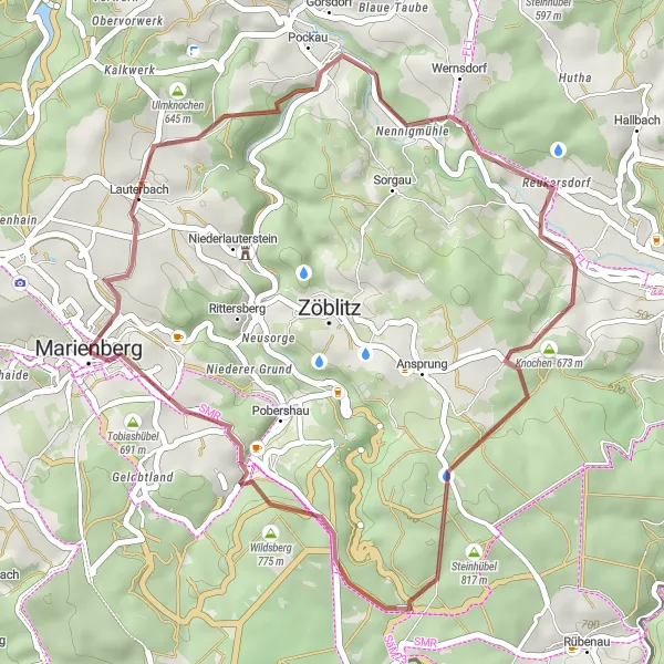
This gravel loop takes you through the beautiful Wolfstein area, known for its rugged terrain and picturesque landscapes. The route covers 36 kilometers and includes 846 meters of ascent. It is suitable for experienced gravel cyclists seeking a challenging and rewarding ride. Along the way, you'll pass through the historic town of Marienberg, famous for its mining heritage. The highlights of this route include Brandhübel, a quaint village nestled in the hills, and the stunning lookout point at Dörfel.
gravel
36 km
846 m
Tough
Route profile
Highlights on the route
0 km
0 km
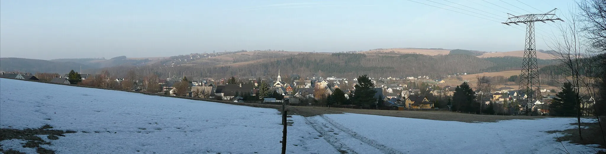
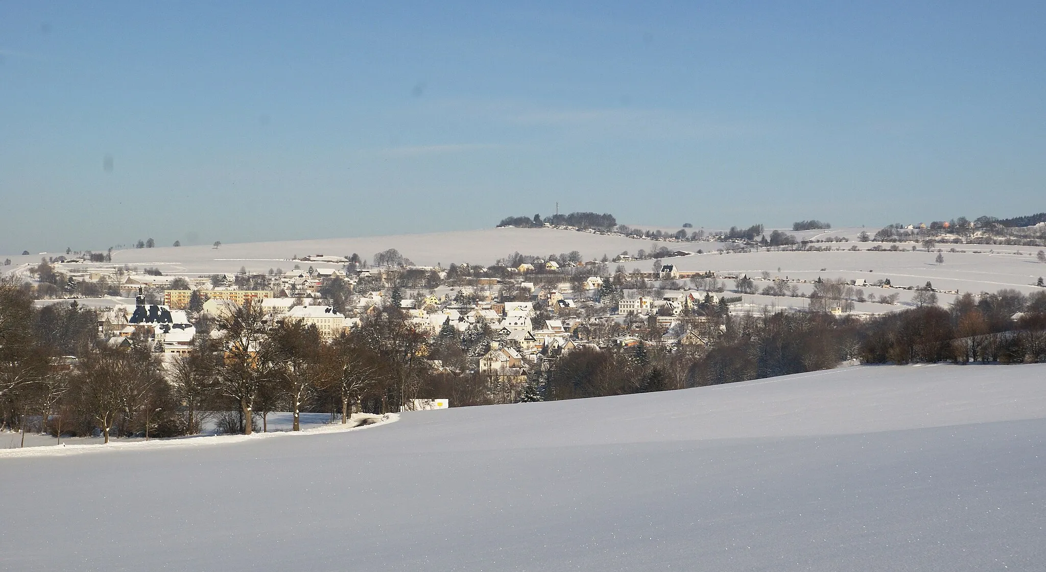
Start: Marienberg City centerMarienberg: Discover picturesque cycling routes in Marienberg, Germany.
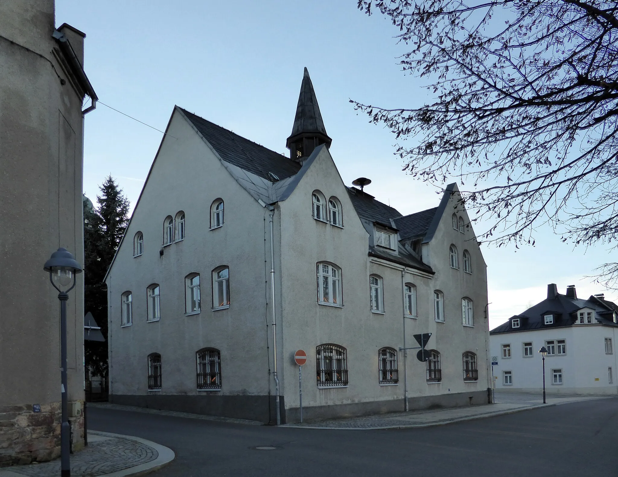
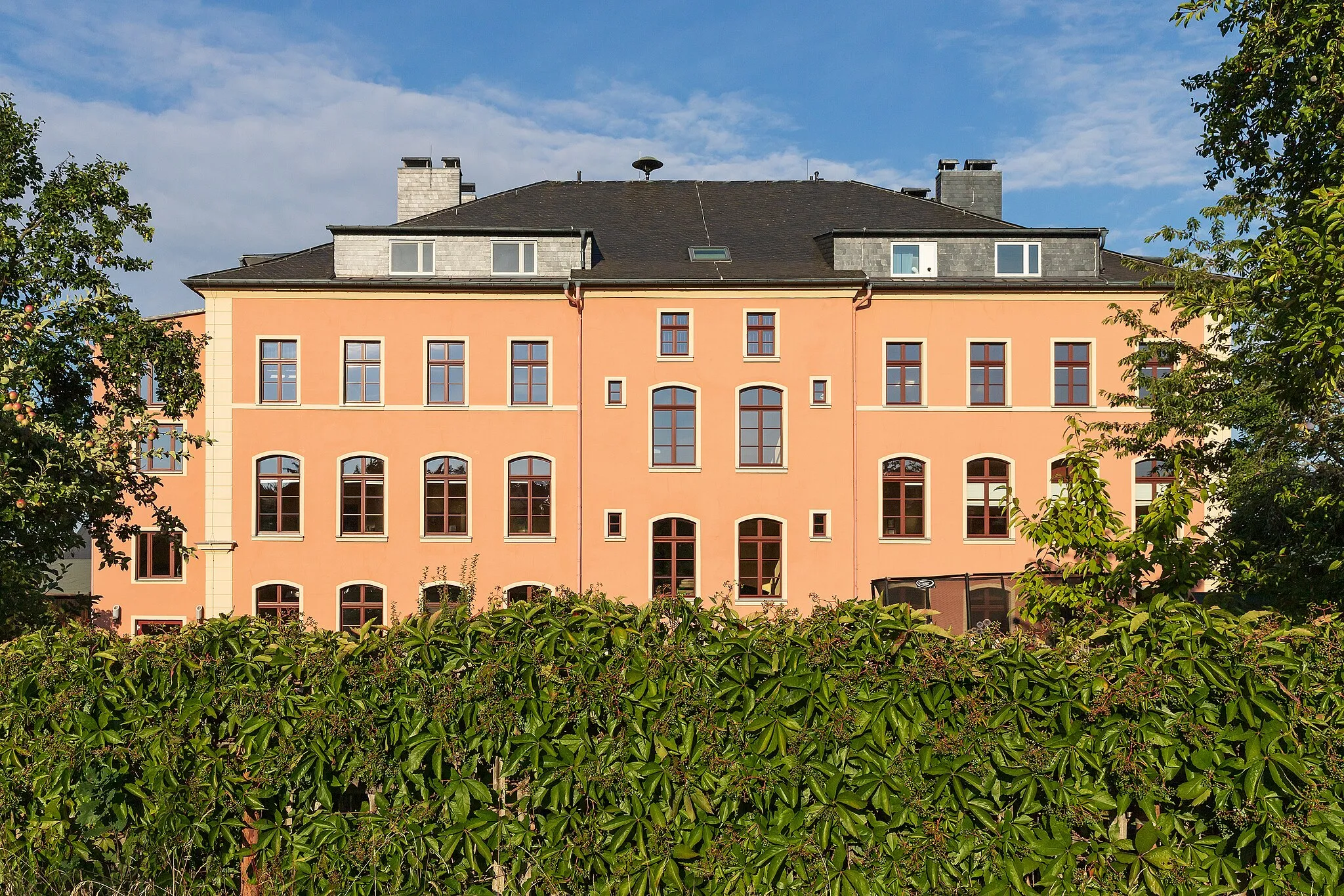
Marienberg is a locality located in Chemnitz, Germany. As a road and gravel cyclist, Marienberg offers a diverse cycling landscape suitable for different skill levels and preferences. The region is known for its picturesque countryside and inviting cycling routes. Cyclists can enjoy riding through scenic woodlands, meandering rivers, and small charming villages. Marienberg is also close to the Ore Mountains, providing opportunities for challenging climbs and stunning panoramas. One popular cycling spot in the area is the Fichtelberg, which is the highest mountain in Saxony and offers a challenging ascent. Overall, Marienberg is a great destination for cyclists seeking a mix of natural beauty and rewarding rides.0 km
0 km
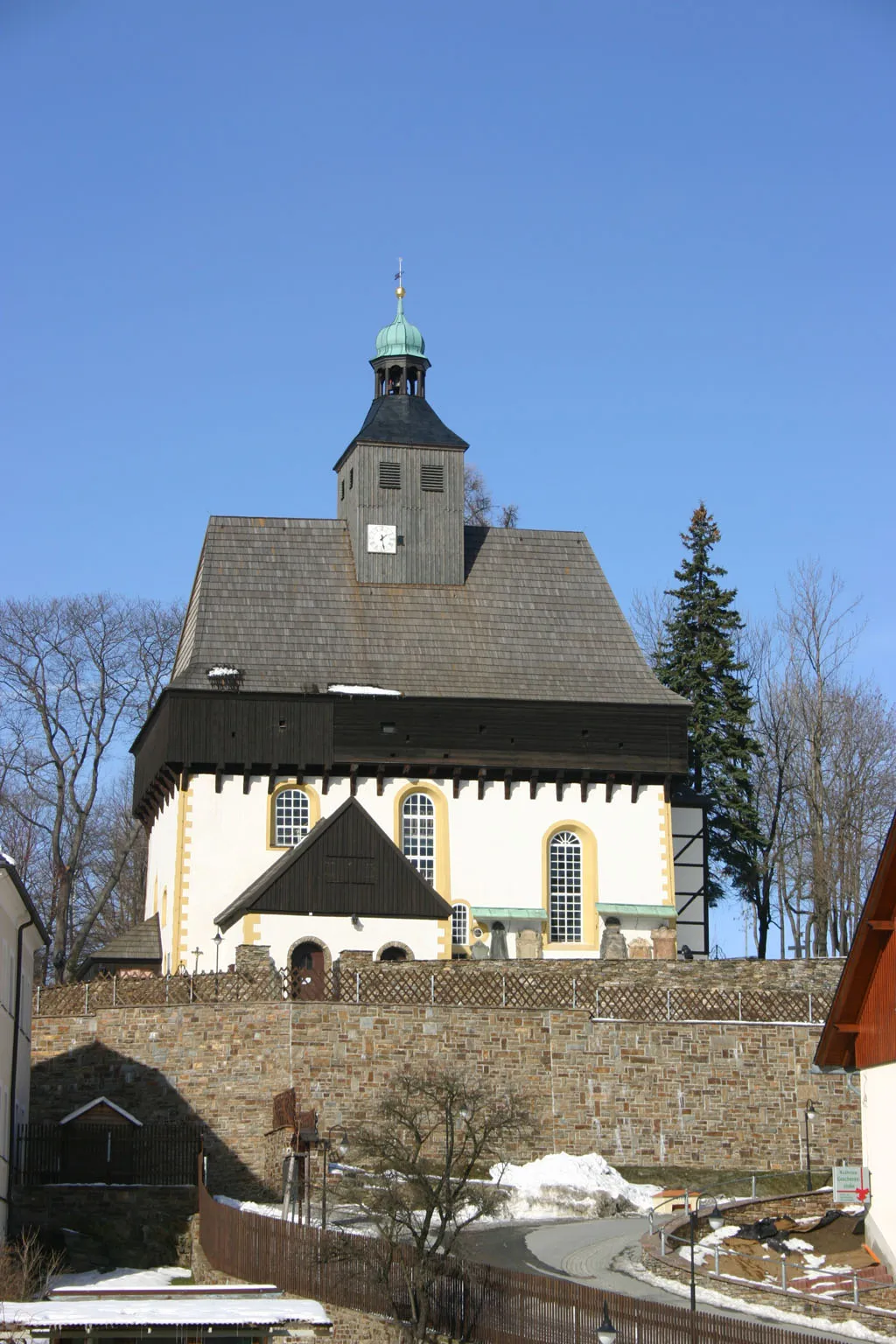
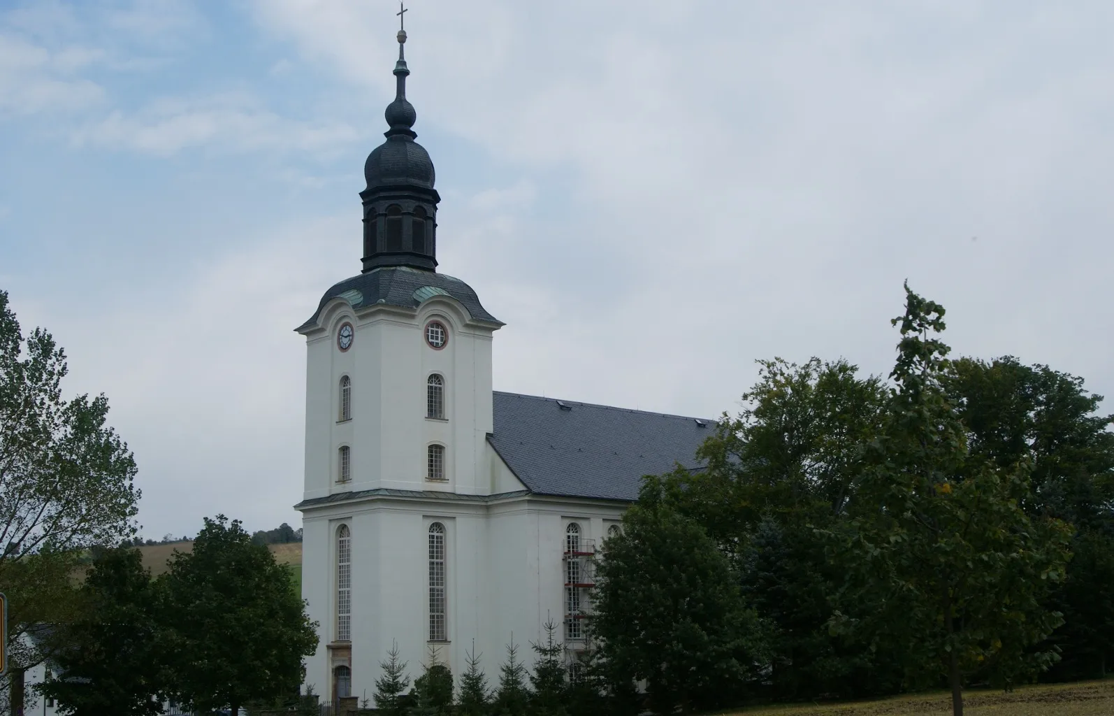
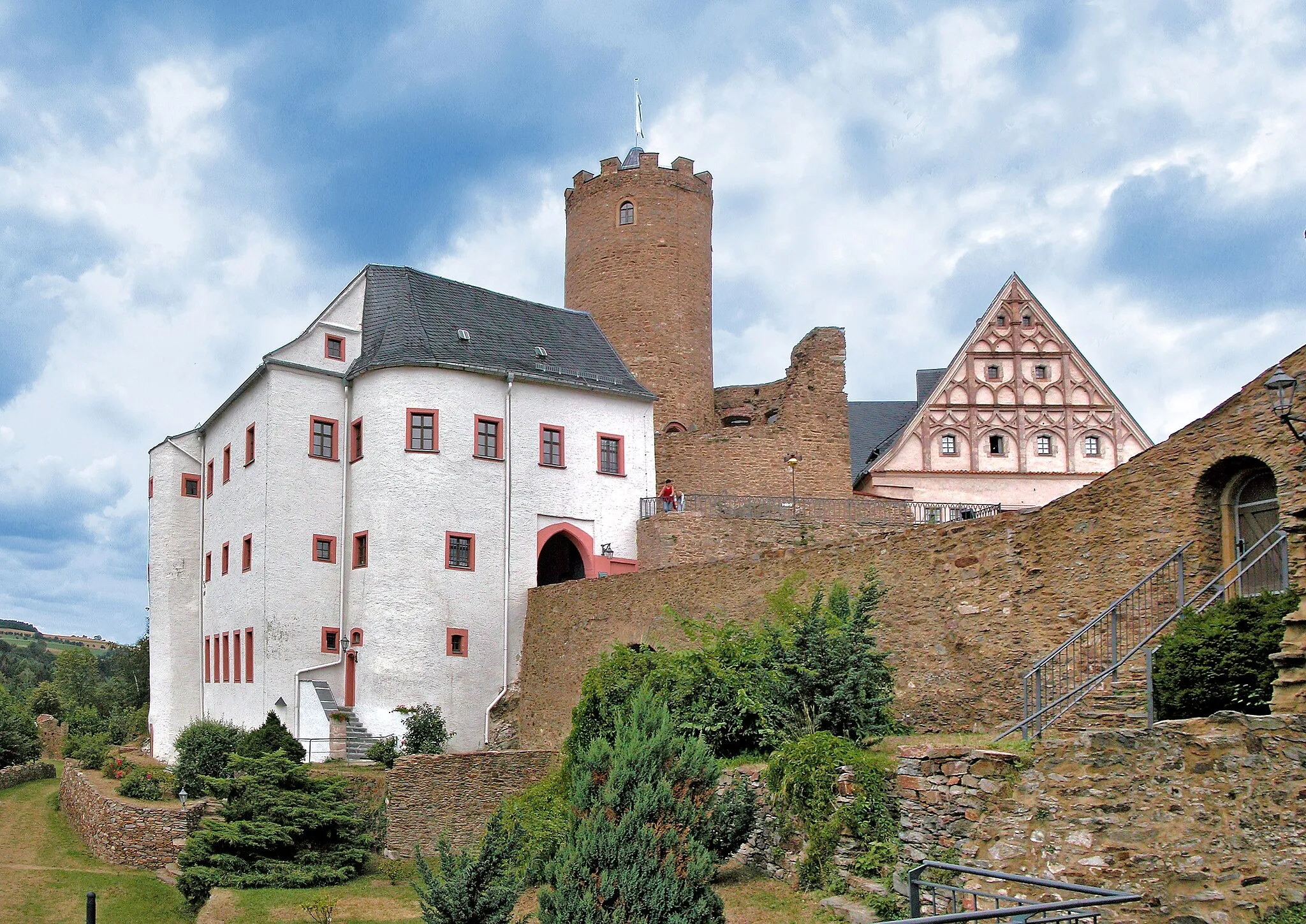
MarienbergTownMarienberg is a historic town with a rich mining heritage, offering a glimpse into the region's past.
6 km
6 km
Brandhübel610 mPeakBrandhübel is a charming village surrounded by scenic hills, providing a perfect spot for a rest and photo opportunities.
22 km
22 km
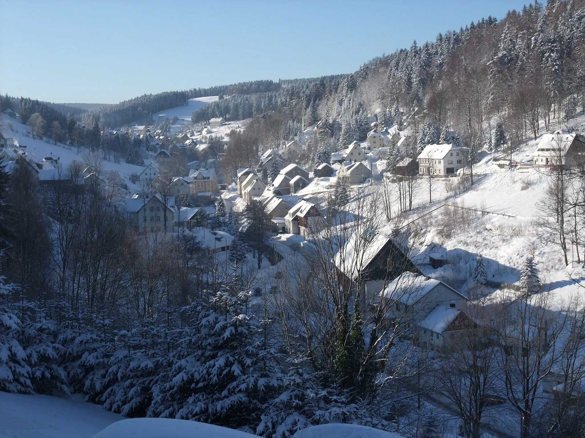
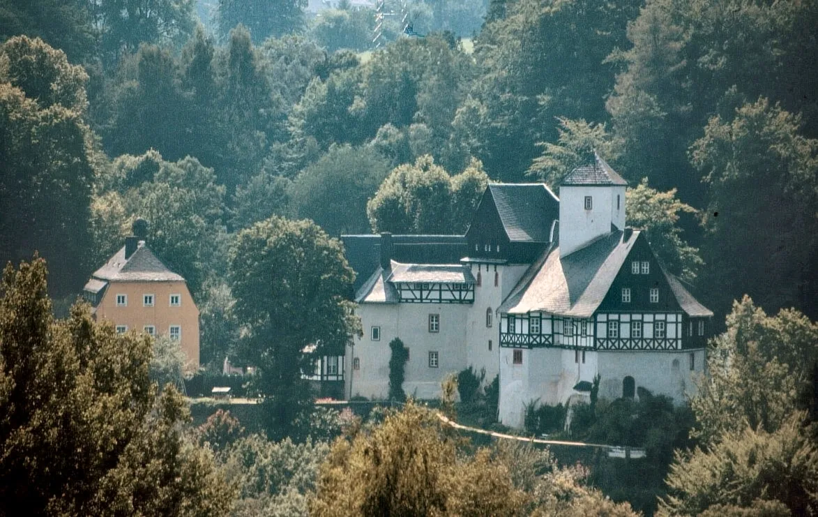
Wolfstein736 mPeakWolfstein is a picturesque area known for its natural beauty and rugged terrain.
29 km
29 km
Goldkrone769 mPeakGoldkrone is a popular hiking destination with stunning panoramic views of the surrounding countryside.
35 km
35 km
DörfelSub-urbDörfel lookout offers breathtaking views of the surrounding landscape and is a relaxing spot to take a break.
36 km
36 km
Finish: Marienberg City centerMarienberg: Discover picturesque cycling routes in Marienberg, Germany.
Cycling routes from Marienberg:
Cycling routes nearby: