Marienberg Road Loop
A road cycling route starting from Marienberg
Experience the beauty of Marienberg on this scenic road cycling loop.
Map
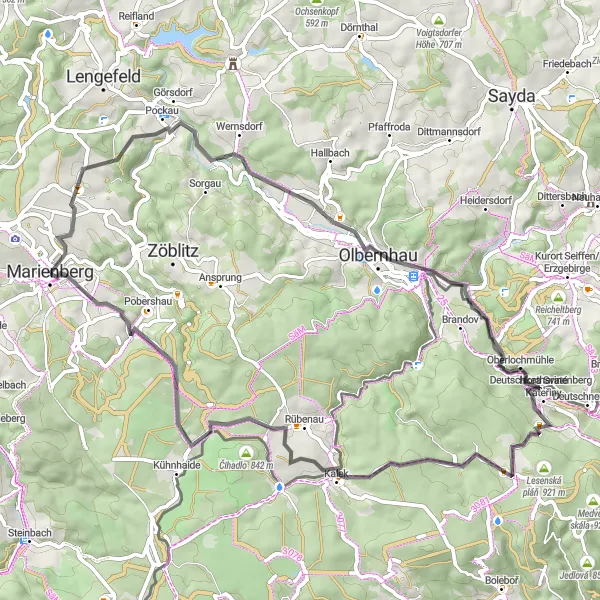
This road cycling route showcases the charming landscapes and historic landmarks surrounding Marienberg. The 62-kilometer loop offers a mix of moderate climbs, smooth descents, and scenic stretches along picturesque villages. Enjoy the beauty of the Ore Mountains and immerse yourself in the region's rich history and natural wonders.
road
62 km
1107 m
Tough
Route profile
Highlights on the route
0 km
0 km
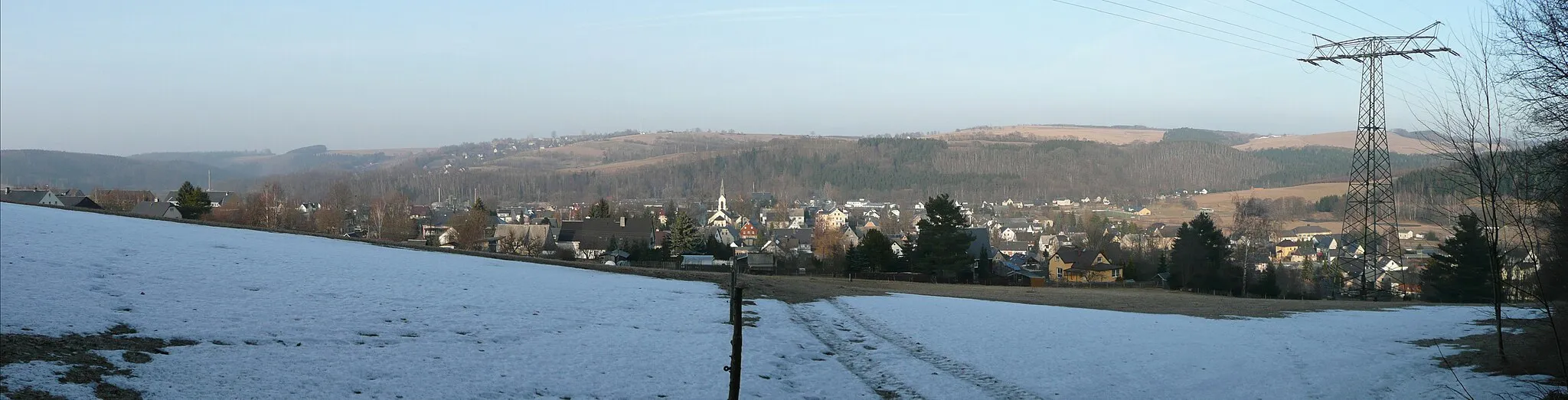
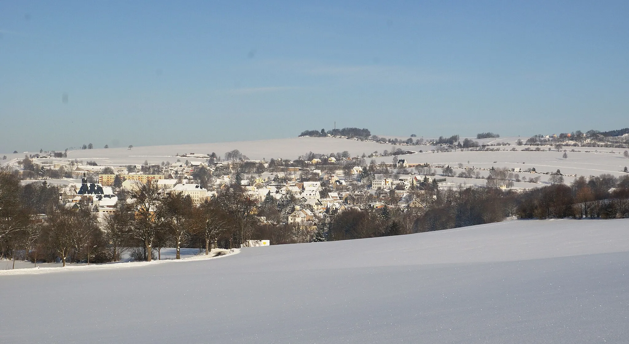
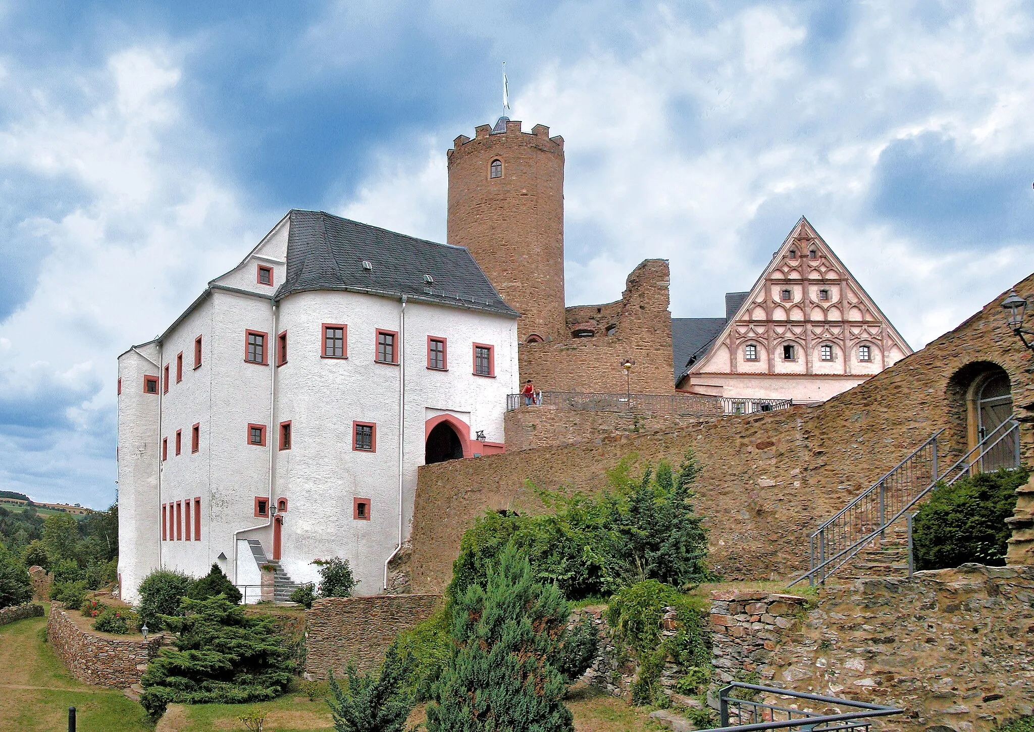
Start: Marienberg City centerMarienberg: Discover picturesque cycling routes in Marienberg, Germany.
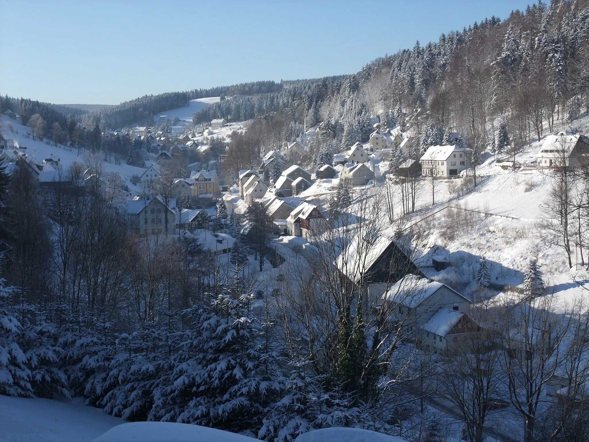
Marienberg is a locality located in Chemnitz, Germany. As a road and gravel cyclist, Marienberg offers a diverse cycling landscape suitable for different skill levels and preferences. The region is known for its picturesque countryside and inviting cycling routes. Cyclists can enjoy riding through scenic woodlands, meandering rivers, and small charming villages. Marienberg is also close to the Ore Mountains, providing opportunities for challenging climbs and stunning panoramas. One popular cycling spot in the area is the Fichtelberg, which is the highest mountain in Saxony and offers a challenging ascent. Overall, Marienberg is a great destination for cyclists seeking a mix of natural beauty and rewarding rides.0 km
0 km
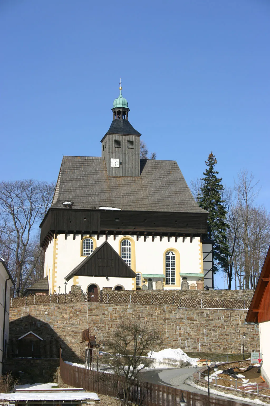
MarienbergTownMarienberg is a historic town surrounded by beautiful forests and nature reserves, perfect for outdoor enthusiasts.
6 km
6 km
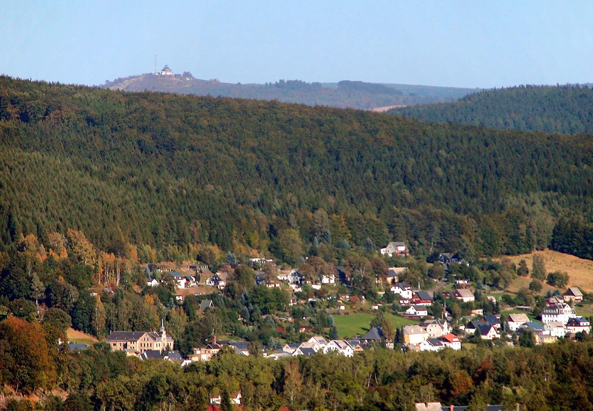
Brandhübel610 mPeakBrandhübel is a scenic viewpoint offering panoramic vistas over the rolling hills of the Ore Mountains.
22 km
22 km
HexentanzplatzViewpointHexentanzplatz is a historical site associated with witchcraft legends and home to a popular beer garden.
23 km
23 km
OberneuschönbergSub-urbOberneuschönberg is a quaint village known for its charming half-timbered houses and traditional crafts.
32 km
32 km
Růžový Vrch731 mPeakRůžový Vrch is a distinct mountain featuring lush meadows and hiking trails with impressive views.
36 km
36 km
Rudolice v HoráchHamletRudolice v Horách is a small village with historic buildings and beautiful countryside surroundings.
43 km
43 km
KalekVillageKalek is a popular destination for outdoor enthusiasts, offering a network of well-marked hiking and cycling trails.
55 km
55 km
Goldkrone769 mPeakGoldkrone is a renowned restaurant serving traditional Ore Mountain cuisine in a cozy atmosphere.
61 km
61 km
DörfelSub-urbDörfel is a charming hamlet known for its well-preserved traditional architecture and idyllic setting.
61 km
61 km
Galgenberg637 mPeakGalgenberg is a scenic hill that offers breathtaking views of the surrounding countryside.
62 km
62 km
Finish: Marienberg City centerMarienberg: Discover picturesque cycling routes in Marienberg, Germany.
Cycling routes from Marienberg:
Cycling routes nearby: