Hexentanzplatz Gravel Adventure
A gravel cycling route starting from Marienberg
Embark on an adventurous gravel ride to Hexentanzplatz
Map
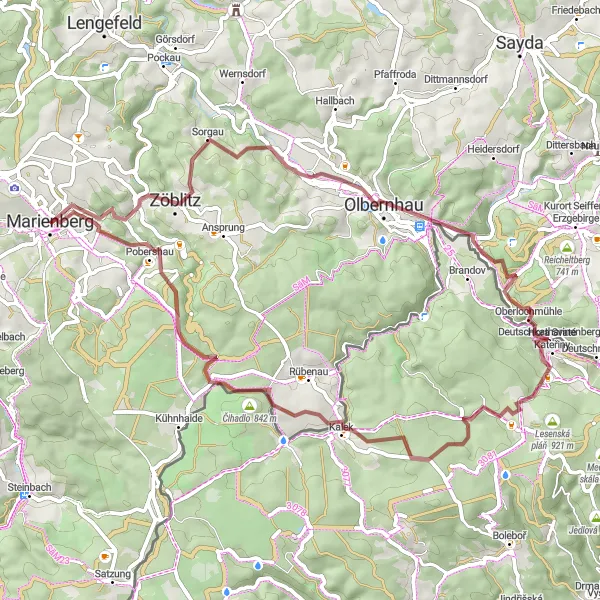
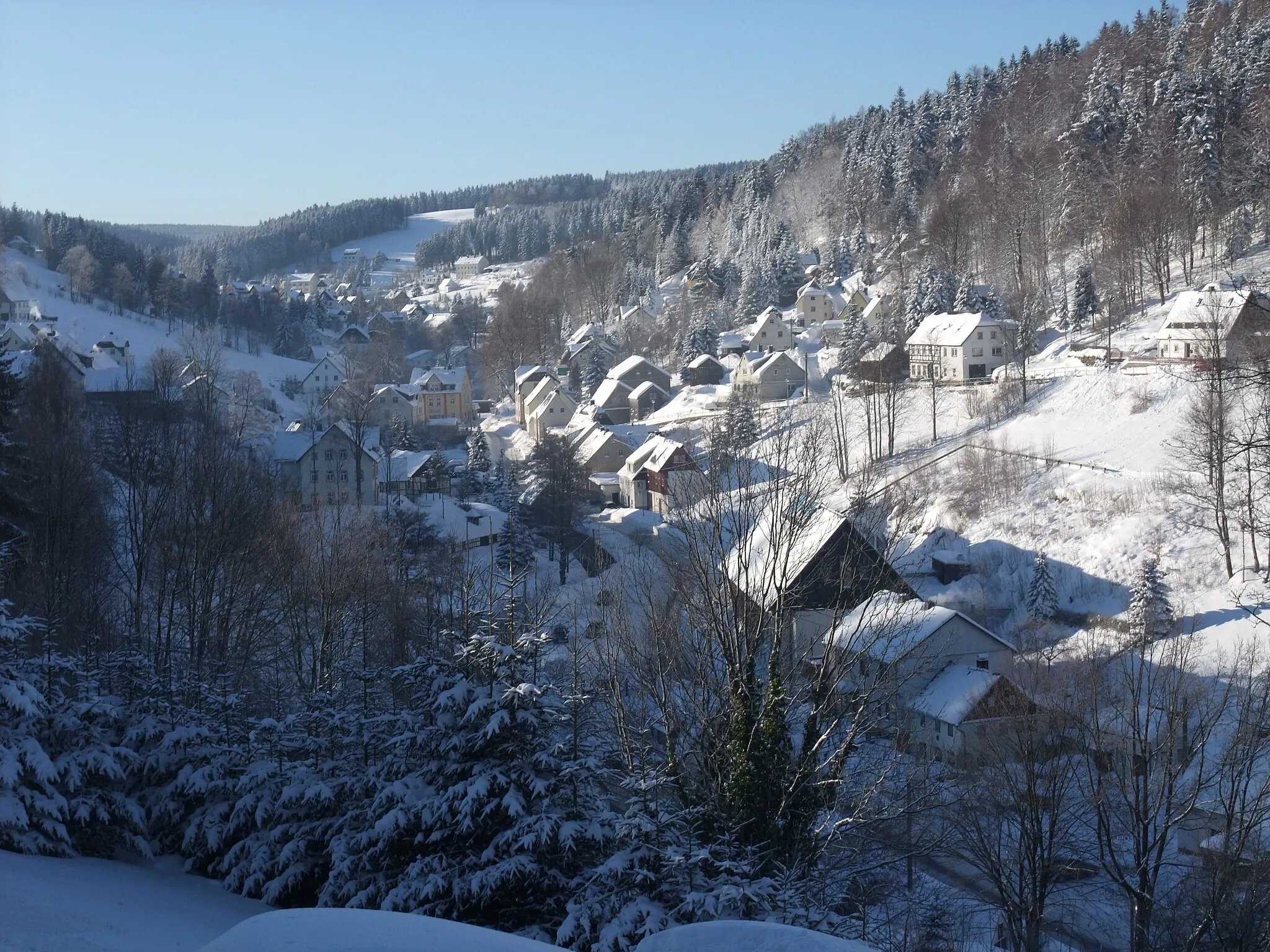
This gravel adventure covers a distance of 61 kilometers and includes 1261 meters of ascent. The route takes you through scenic countryside, providing ample opportunities to enjoy the beauty of the region. Starting from Marienberg, the ride passes through Annahöhe, offering panoramic views of the surrounding hills. The highlight of this adventure is Hexentanzplatz, a famous rock formation known for its captivating legends. The route also includes several challenging climbs and thrilling descents, making it an exciting choice for experienced gravel cyclists.
gravel
61 km
1261 m
Tough
Route profile
Highlights on the route
0 km
0 km
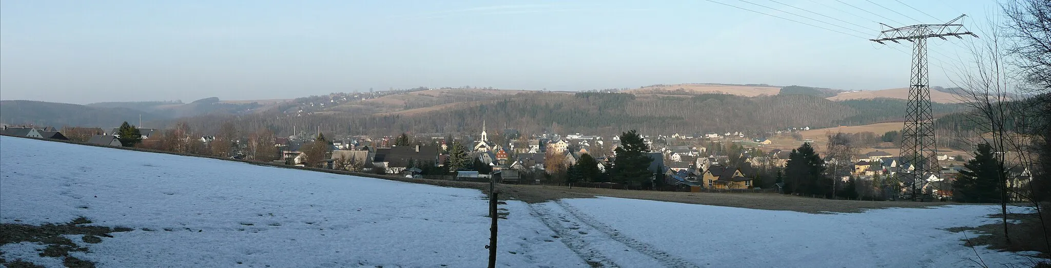
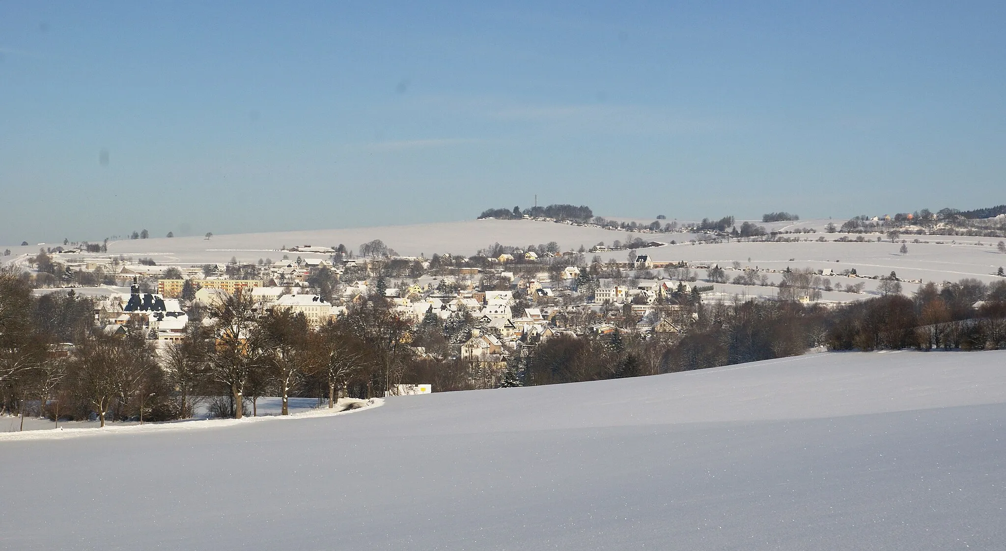
Start: Marienberg City centerMarienberg: Discover picturesque cycling routes in Marienberg, Germany.
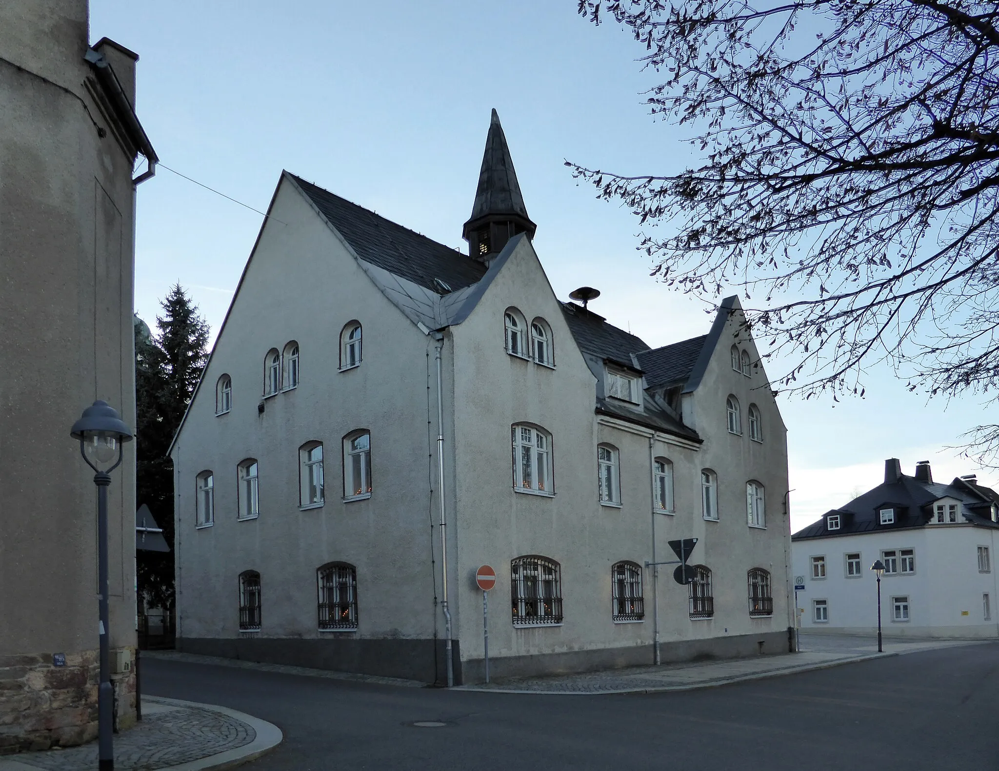
Marienberg is a locality located in Chemnitz, Germany. As a road and gravel cyclist, Marienberg offers a diverse cycling landscape suitable for different skill levels and preferences. The region is known for its picturesque countryside and inviting cycling routes. Cyclists can enjoy riding through scenic woodlands, meandering rivers, and small charming villages. Marienberg is also close to the Ore Mountains, providing opportunities for challenging climbs and stunning panoramas. One popular cycling spot in the area is the Fichtelberg, which is the highest mountain in Saxony and offers a challenging ascent. Overall, Marienberg is a great destination for cyclists seeking a mix of natural beauty and rewarding rides.0 km
0 km
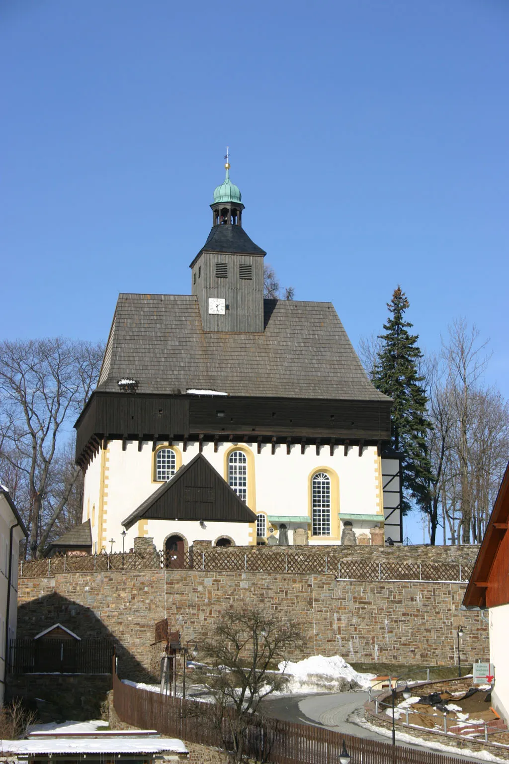
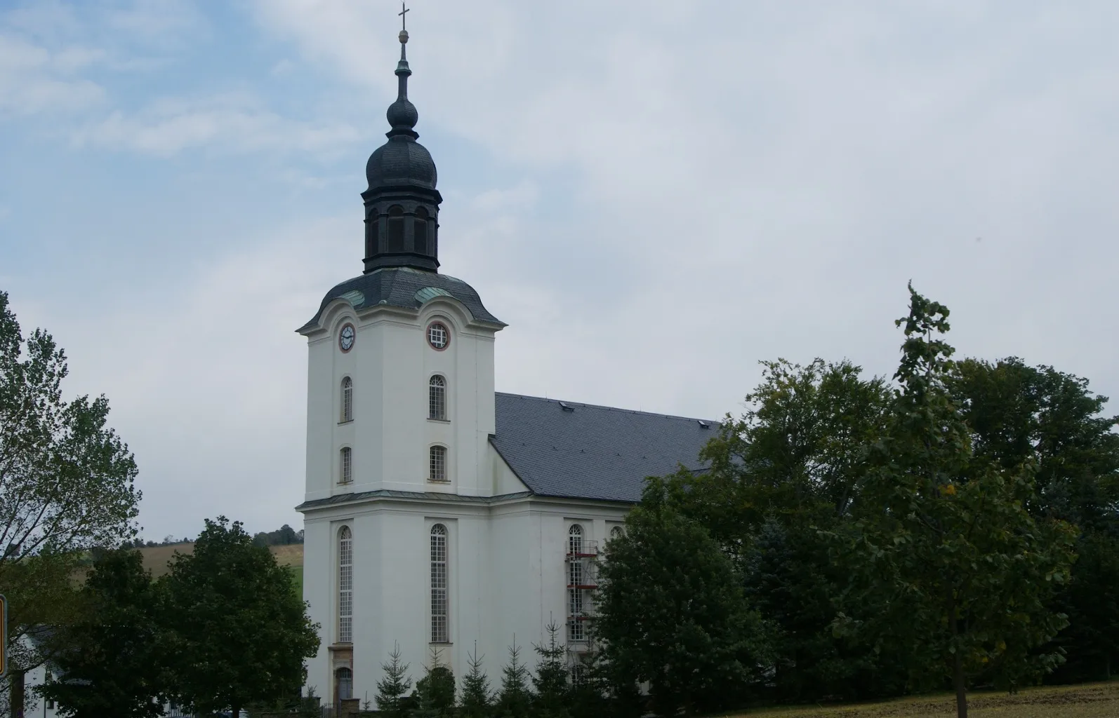
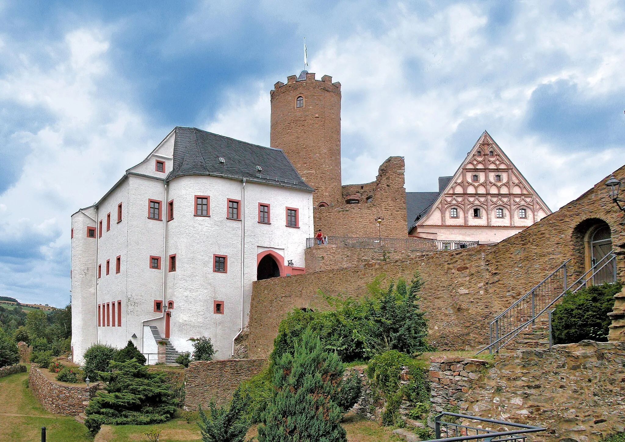
MarienbergTownMarienberg is a historic town with a rich mining heritage, offering a glimpse into the region's past.
8 km
8 km
Annahöhe684 mPeakAnnahöhe offers breathtaking views of the surrounding hills and is a great spot for photos.
20 km
20 km
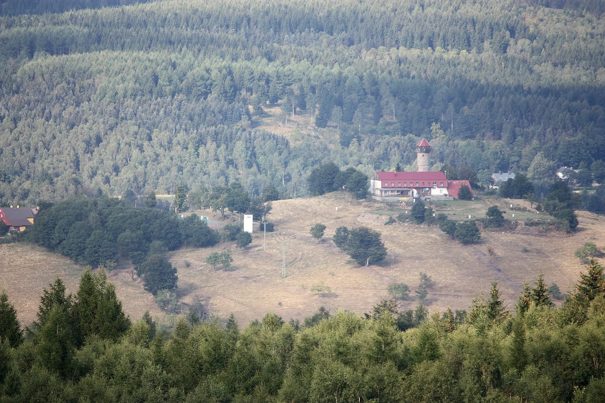
HexentanzplatzViewpointHexentanzplatz is a famous rock formation surrounded by captivating legends and folklore.
27 km
27 km
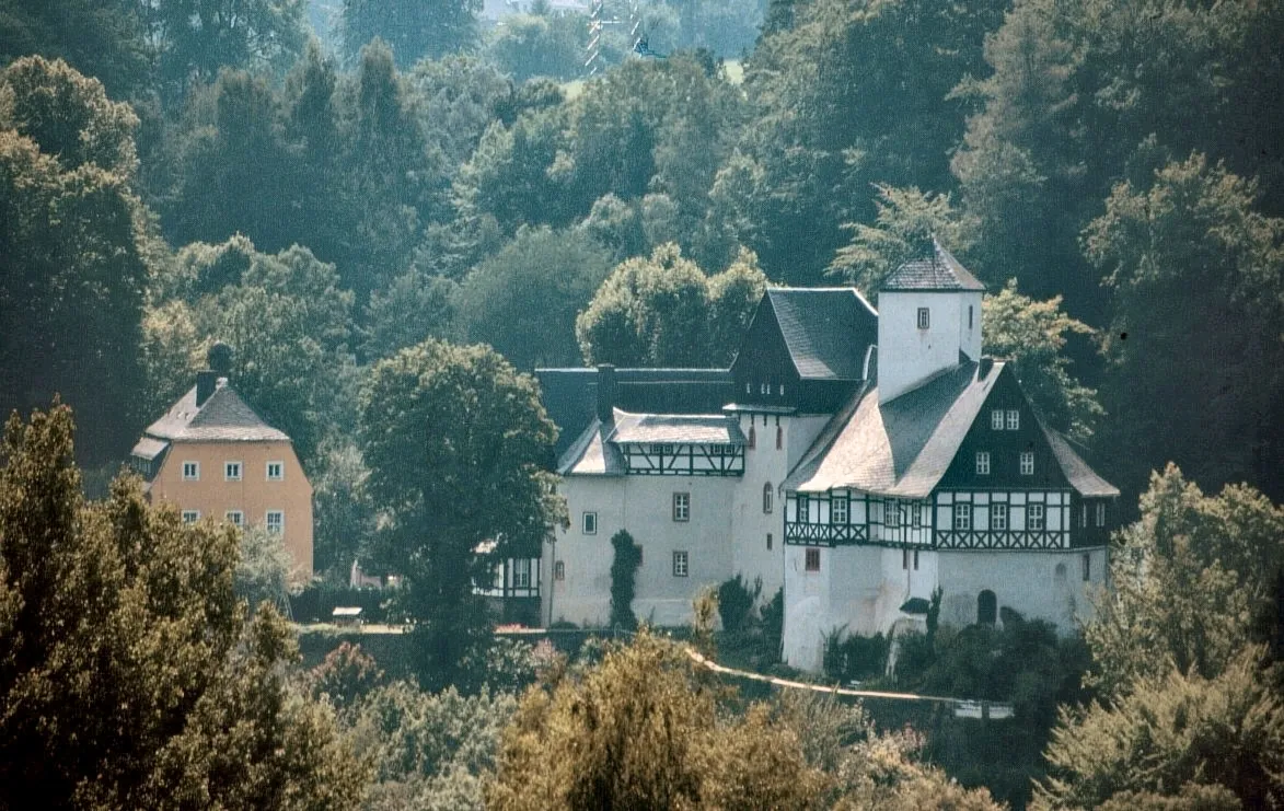
OberlochmühleVillageOberlochmühle is a charming mill surrounded by picturesque countryside, providing a scenic spot to rest and refuel.
33 km
33 km
Malý HájHamletMalý Háj is a small village known for its peaceful atmosphere and charming traditional houses.
33 km
33 km
Eduardova skála910 mPeakEduardova skála is a popular rock climbing spot with stunning views and challenging routes.
42 km
42 km
KalekVillageKalek is a legendary climb that attracts both professional and amateur cyclists, offering a thrilling ascent with panoramic views at the top.
47 km
47 km
Čihadlo842 mPeakČihadlo is a scenic natural formation known for its unique shape and stunning geological features.
53 km
53 km
Goldkrone769 mPeakGoldkrone is a popular hiking destination with stunning panoramic views of the surrounding countryside.
56 km
56 km
GöpelpyramideAttractionGöpelpyramide is a unique landmark that offers insight into the region's mining history.
61 km
61 km
Schlettenberg651 mPeakSchlettenberg is a notable hill known for its challenging gradient and rewarding views at the summit.
61 km
61 km
Finish: Marienberg City centerMarienberg: Discover picturesque cycling routes in Marienberg, Germany.
Cycling routes from Marienberg:
Cycling routes nearby: