The Gravel Adventure
A gravel cycling route starting from Langenselbold
Experience the thrill of off-road cycling near Langenselbold
Map
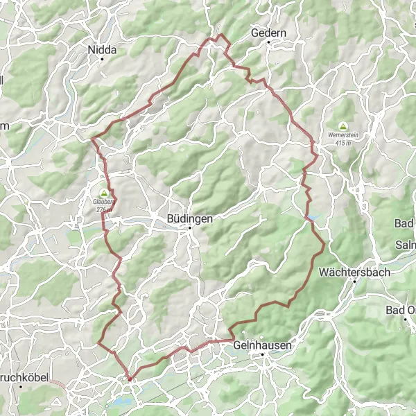
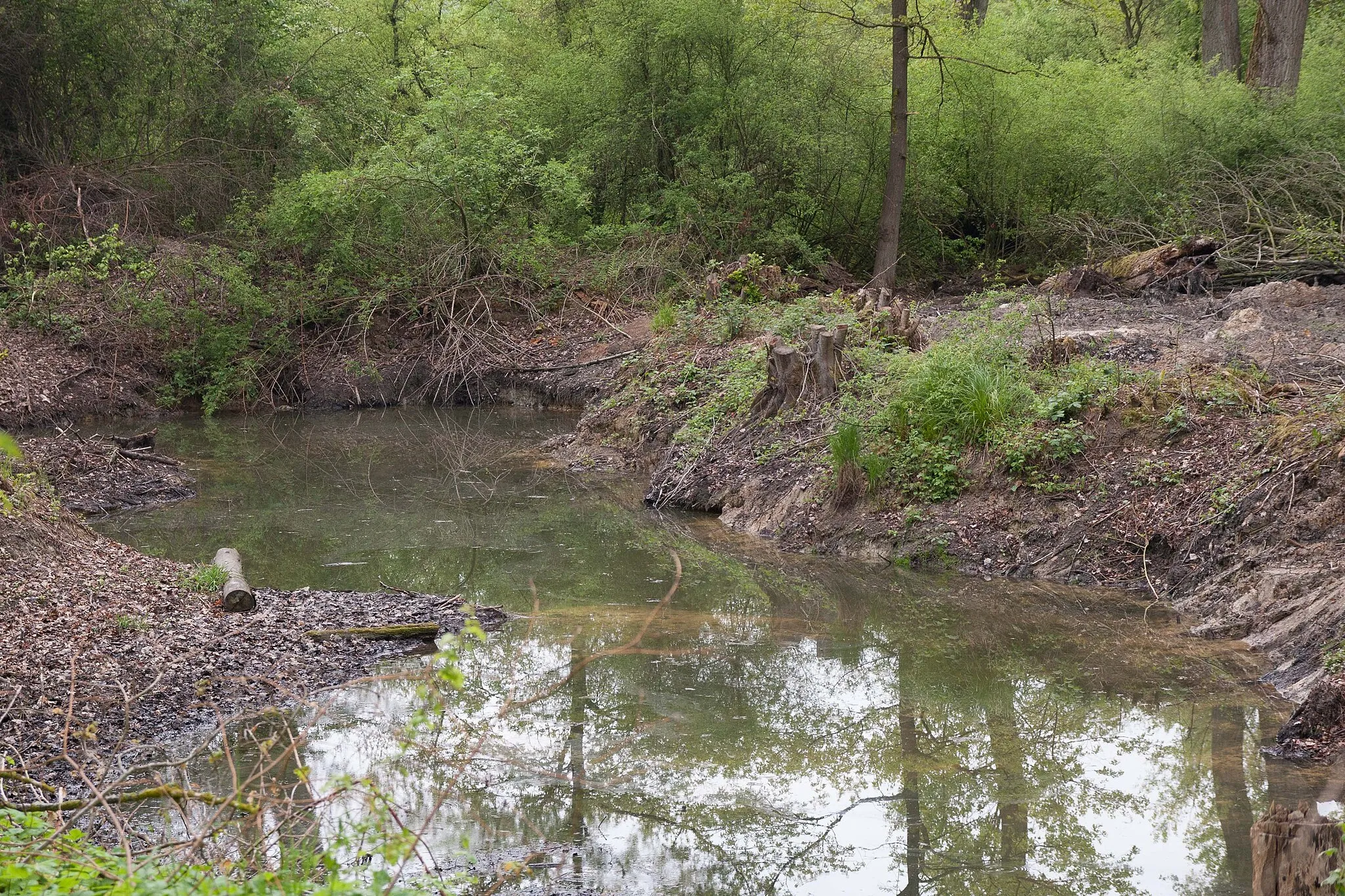
Explore the picturesque landscapes and challenging terrains around Langenselbold on this gravel cycling route. With a total distance of 86 kilometers and an ascent of 1249 meters, this route offers a thrilling adventure for gravel enthusiasts. Get ready to discover highlights such as Pfingstberg, Glauberg, and Burg Glauburg along the way. Challenge yourself with Reitkopf and Köhlersberg, and be rewarded with breathtaking views at Herzberg and Lieblos.
gravel
86 km
1249 m
Tough
Route profile
Highlights on the route
0 km
0 km
Start: Langenselbold City centerLangenselbold: Cycling through Langenselbold's scenic countryside and tackling the challenging Spessarthöhen climb.
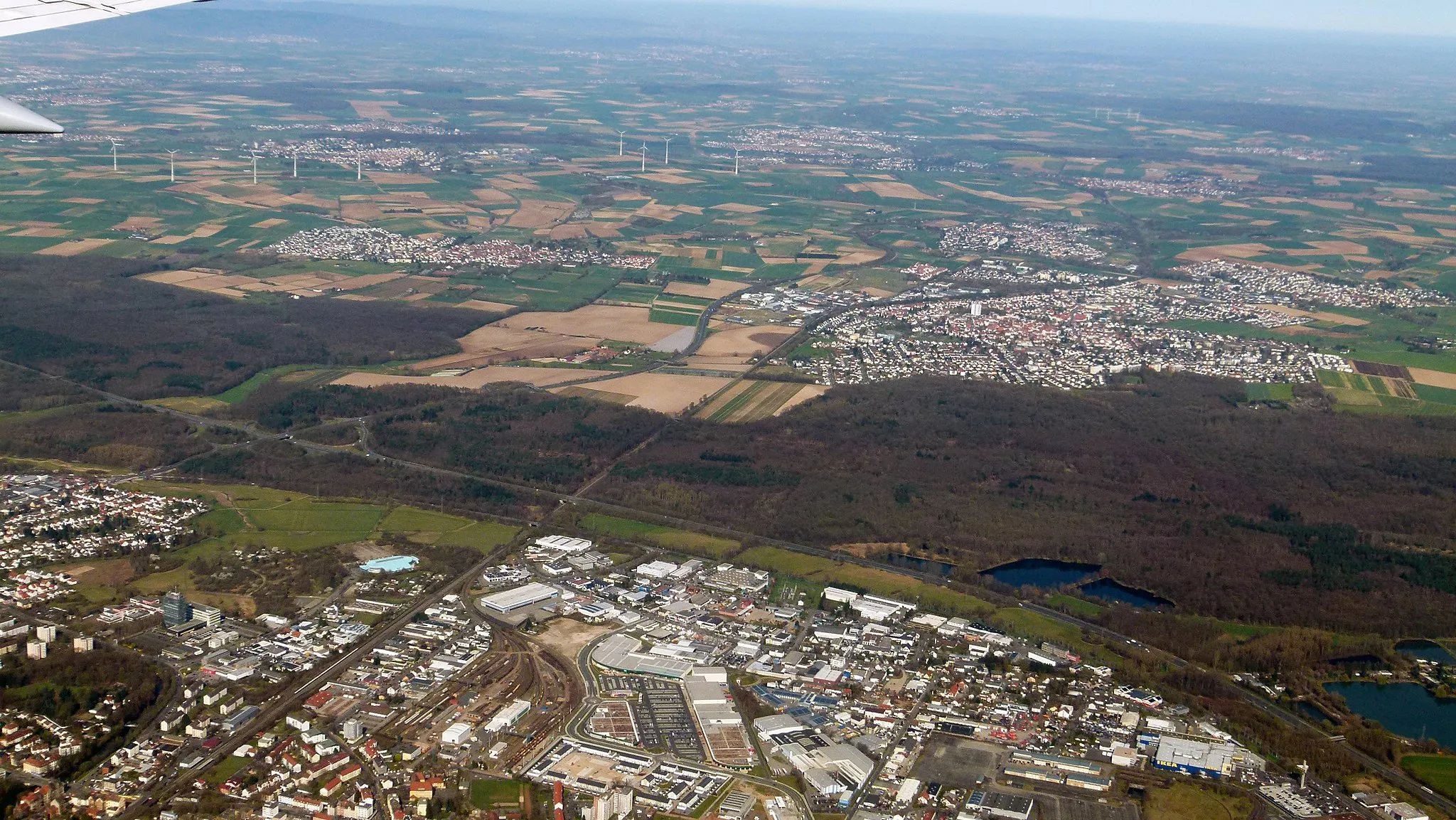
Langenselbold is a locality located in the Darmstadt region of Germany. From a cyclist's perspective, Langenselbold offers a mix of urban and rural cycling routes. The town itself has a number of bike-friendly facilities such as bike lanes and bike-sharing programs. Cycling enthusiasts can explore the picturesque countryside by following roads that wind through fields, forests, and small villages. The region is also known for its hilly landscape, providing opportunities for challenging climbs. One well-known cycling climb nearby is the Spessarthöhen climb, which offers stunning views at the top. Overall, Langenselbold is a great destination for road and gravel cyclists, with a good cycling infrastructure and beautiful natural surroundings.0 km
0 km
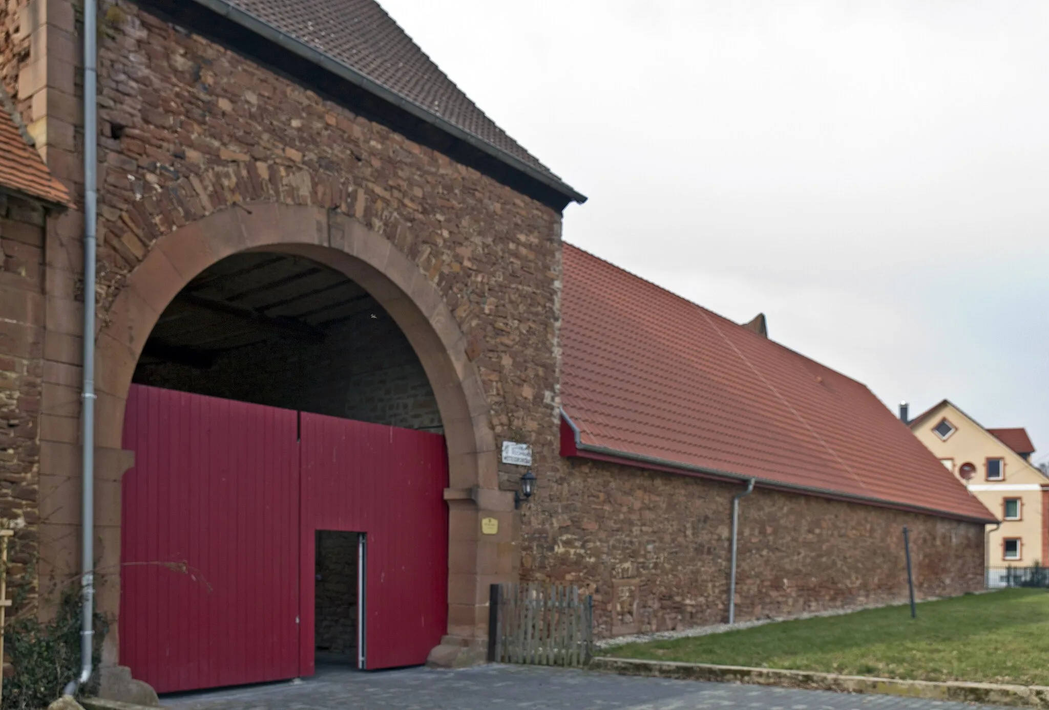
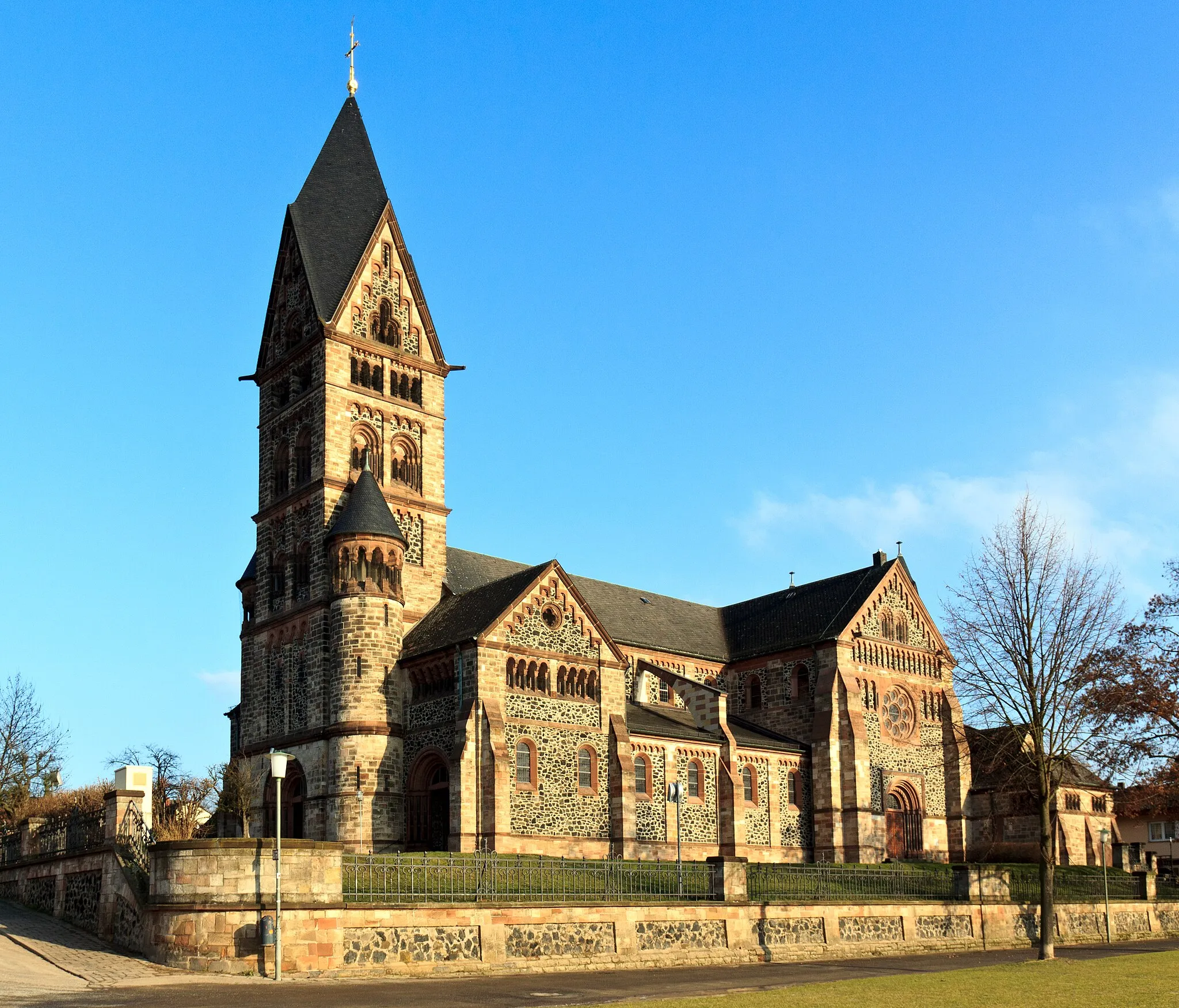
LangenselboldTownLangenselbold is a historic town with a rich cultural heritage. Explore the medieval architecture and immerse yourself in the local history.
2 km
2 km
PfingstbergViewpointPfingstberg is a picturesque hill offering panoramic views of the surrounding landscapes. Take a moment to appreciate the beauty of nature and enjoy a well-deserved break.
20 km
20 km
Glauberg276 mPeakGlauberg is home to an ancient Celtic settlement and a museum showcasing archaeological artifacts. Dive into the region's history and learn about its fascinating past.
20 km
20 km
Burg GlauburgCastleBurg Glauburg is a well-preserved castle ruin that provides a glimpse into the medieval times. Explore the castle grounds and enjoy the medieval atmosphere.
39 km
39 km
Reitkopf330 mPeakReitkopf is a challenging climb that rewards cyclists with breathtaking views. Take your time to conquer this ascent and enjoy the scenery from the top.
63 km
63 km
Köhlersberg395 mPeakKöhlersberg is a picturesque hill with lush greenery. Embrace the tranquility of nature and take a moment to recharge before continuing your journey.
76 km
76 km
Herzberg255 mPeakHerzberg offers stunning views of the surrounding landscapes. Take a break, soak in the beauty, and capture some memorable photographs.
78 km
78 km
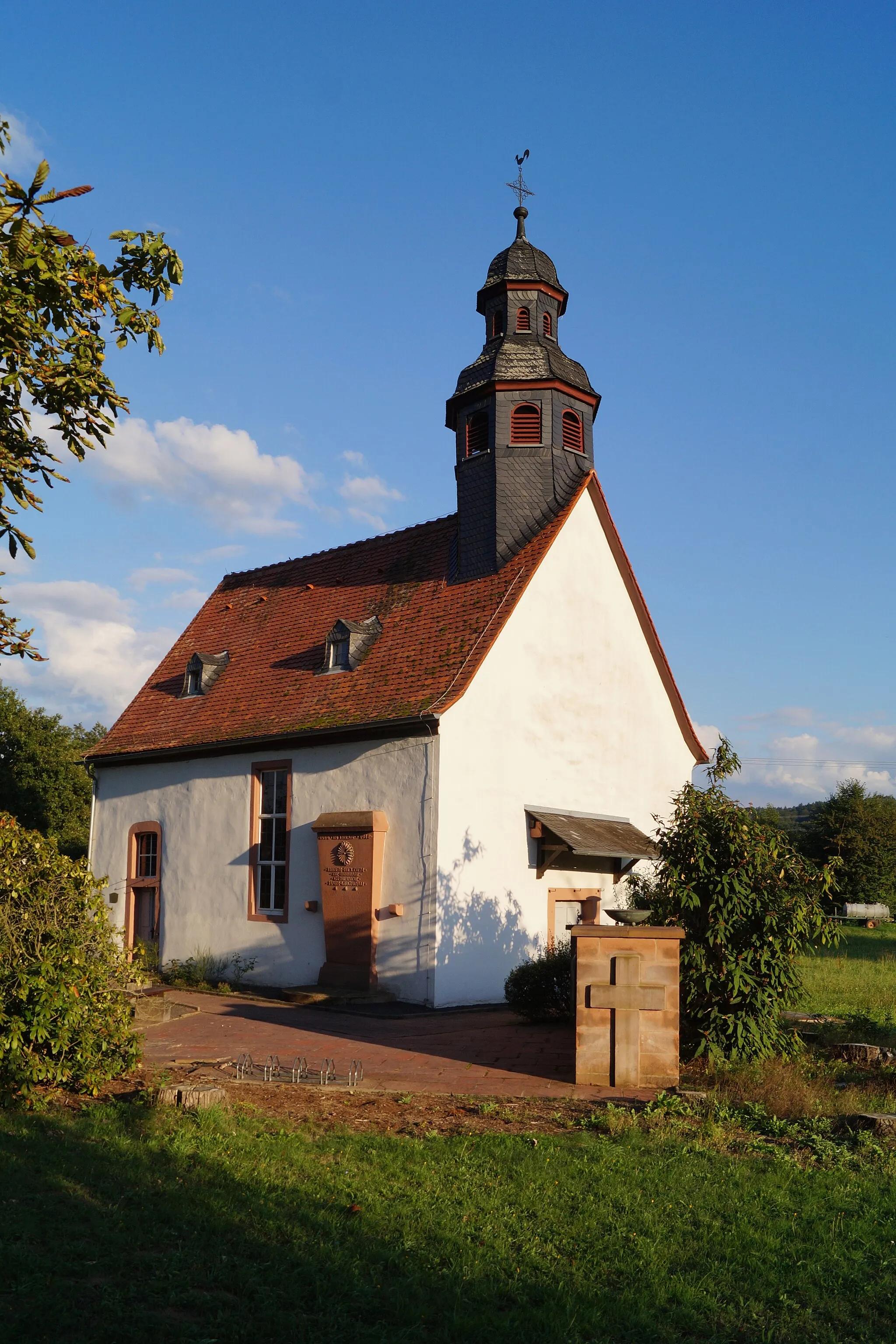
LieblosVillageLieblos is a charming village known for its traditional half-timbered houses and idyllic countryside views. Immerse yourself in the local culture and enjoy the peaceful ambiance.
86 km
86 km
Finish: Langenselbold City centerLangenselbold: Cycling through Langenselbold's scenic countryside and tackling the challenging Spessarthöhen climb.
Cycling routes from Langenselbold:
The Gravel Route through Weinberg and Oberschur Discover the Countryside The Road Explorer The Road Route through Weinberg and Niedermittlau The Gravel Adventure The Countryside Escape The Road Route through Alzenau and Seligenstadt Gravel Adventure to Wine Country The Road Route through Wasserlos and Langendiebach The Ultimate Road Experience Gravel Adventure: Langenselbold to Herzberg The Hills and Ruins Tour Weg der Sterne: Hanau to Langenselbold
Cycling routes nearby: