The Road Route through Wasserlos and Langendiebach
A road cycling route starting from Langenselbold
Admire charming towns and natural beauty on this 61 km road cycling route passing through Wasserlos and reaching Langendiebach.
Map
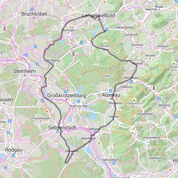
This road cycling route near Langenselbold covers a distance of 61 km with an elevation gain of 339 m. Cyclists will pass through highlights such as Buchbergturm at 3 km, Wasserlos at 20 km, Seligenstadt at 36 km, and Langendiebach at 55 km. Immerse yourself in the beauty of quaint villages, explore historical landmarks, and enjoy natural landscapes throughout the journey. This route offers a pleasant mix of cultural immersion and scenic cycling, making it an enjoyable adventure for cyclists of all levels.
road
61 km
339 m
Chill
Route profile
Highlights on the route
0 km
0 km
Start: Langenselbold City centerLangenselbold: Cycling through Langenselbold's scenic countryside and tackling the challenging Spessarthöhen climb.
Langenselbold is a locality located in the Darmstadt region of Germany. From a cyclist's perspective, Langenselbold offers a mix of urban and rural cycling routes. The town itself has a number of bike-friendly facilities such as bike lanes and bike-sharing programs. Cycling enthusiasts can explore the picturesque countryside by following roads that wind through fields, forests, and small villages. The region is also known for its hilly landscape, providing opportunities for challenging climbs. One well-known cycling climb nearby is the Spessarthöhen climb, which offers stunning views at the top. Overall, Langenselbold is a great destination for road and gravel cyclists, with a good cycling infrastructure and beautiful natural surroundings.0 km
0 km
LangenselboldTownStarting from Langenselbold, cyclists can enjoy the charming ambiance of this historic town, showcasing well-preserved architecture and natural beauty.
3 km
3 km
BuchbergturmViewpointAt 3 km, Buchbergturm presents riders with a panoramic view of the surrounding countryside, making it a perfect place for photo enthusiasts.
20 km
20 km
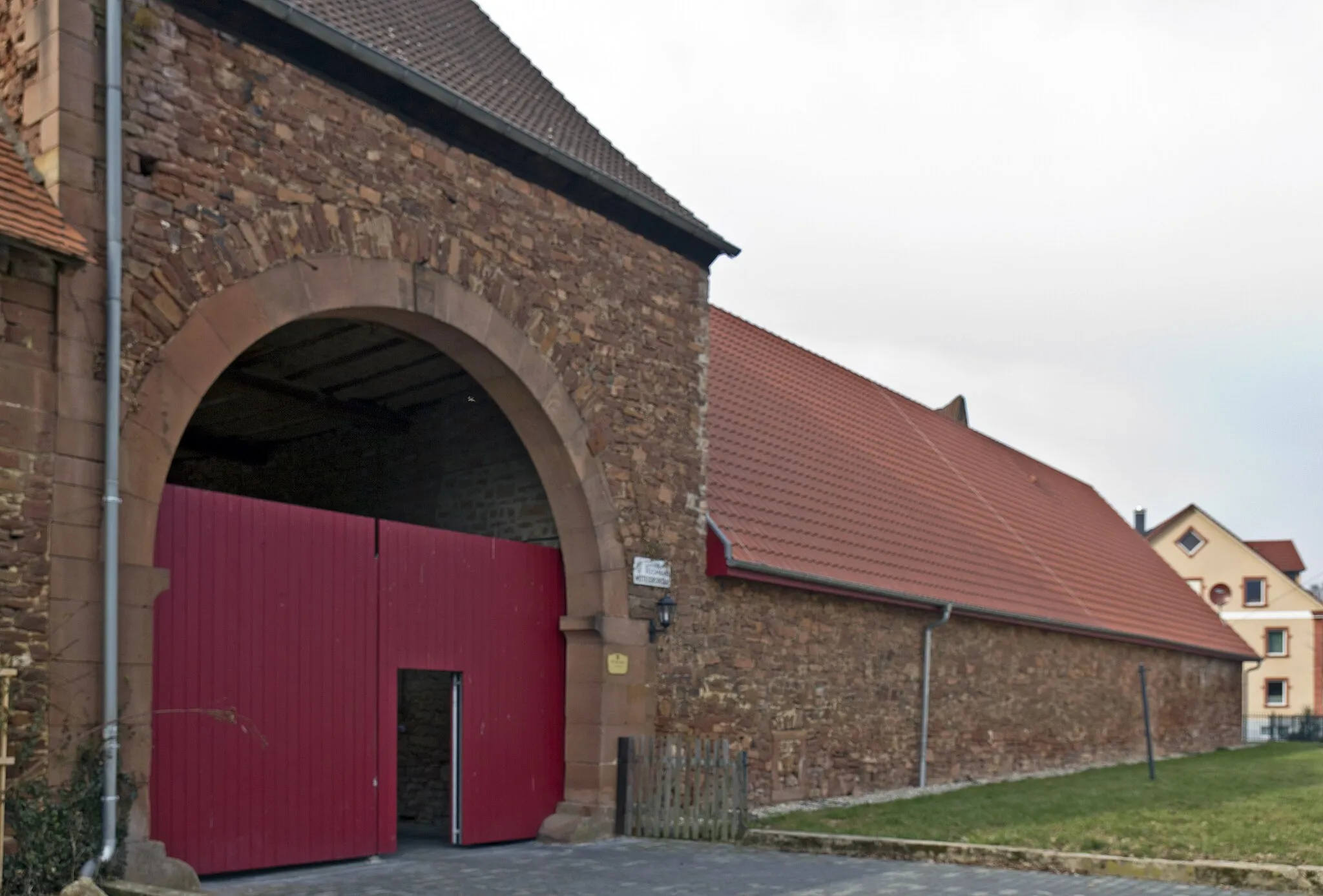
WasserlosVillageWasserlos, at 20 km, invites visitors to explore its picturesque buildings and lush green surroundings.
20 km
20 km
Adamsruh WasserlosViewpointAdamsruh Wasserlos, located at 20 km, provides a tranquil haven for cyclists to rest and appreciate the local landscape.
36 km
36 km
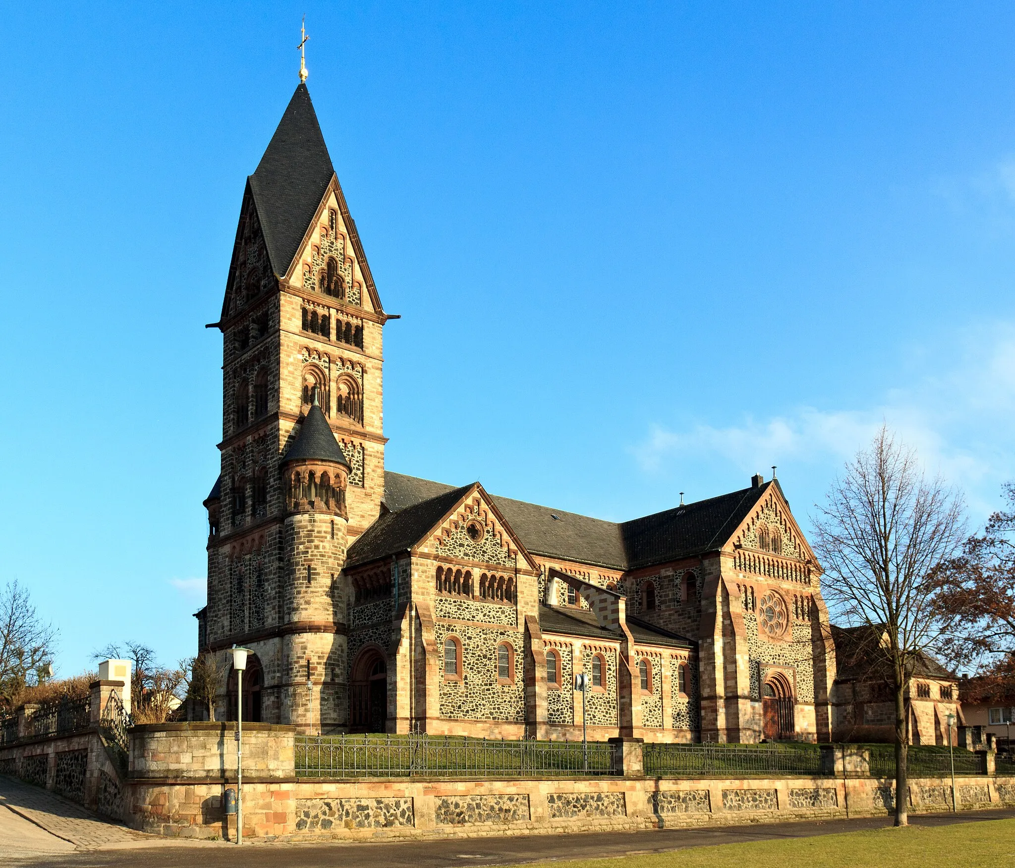
SeligenstadtTownSeligenstadt, at 36 km, boasts a wealth of architectural gems and a serene ambiance, perfect for a leisurely stroll.
45 km
45 km
GroßauheimTownGroßauheim, at 45 km, offers a peaceful blend of nature and urban charm, with scenic landscapes and picturesque riverbanks.
45 km
45 km
Uferpromenade "Leinpfad"ViewpointUferpromenade "Leinpfad", at 45 km, captivates cyclists with its serene ambiance and beautiful riverside scenery.
55 km
55 km
LangendiebachVillageLangendiebach, at 55 km, presents riders with a charming village atmosphere and interesting historical landmarks.
61 km
61 km
12 StühleAttractionStop at the '12 Stühle' (12 chairs) in the center of Langendiebach, which narrate an intriguing local legend dating back centuries.
61 km
61 km
Finish: Langenselbold City centerLangenselbold: Cycling through Langenselbold's scenic countryside and tackling the challenging Spessarthöhen climb.
Cycling routes from Langenselbold:
The Gravel Route through Weinberg and Oberschur Discover the Countryside The Road Explorer The Road Route through Weinberg and Niedermittlau The Gravel Adventure The Countryside Escape The Road Route through Alzenau and Seligenstadt Gravel Adventure to Wine Country The Road Route through Wasserlos and Langendiebach The Ultimate Road Experience Gravel Adventure: Langenselbold to Herzberg The Hills and Ruins Tour Weg der Sterne: Hanau to Langenselbold
Cycling routes nearby: