The Challenging Road Ride
A road cycling route starting from Schluechtern
Get ready for a challenging road cycling experience through the hills of Schlüchtern
Map
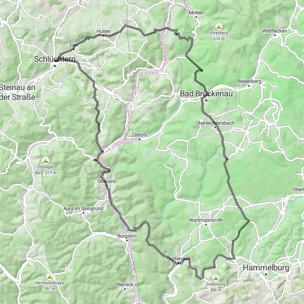
Take on the exhilarating road cycling route through Schlüchtern that spans 110 kilometers and includes an ascent of 1945 meters. This route is tailored for experienced road cyclists looking for a challenging workout. Along the way, you'll encounter highlights such as Kirschberg, Speicherz, Ehrenberg, Büchelberg, Morlesau, Gräfendorf, Obersinn, Grauberg, Weiperzberg, and Lauter'sches Schlösschen, each offering unique sights and attractions. Prepare to push your limits and be rewarded with breathtaking views and a sense of accomplishment.
road
110 km
1945 m
Savage
Route profile
Highlights on the route
0 km
0 km
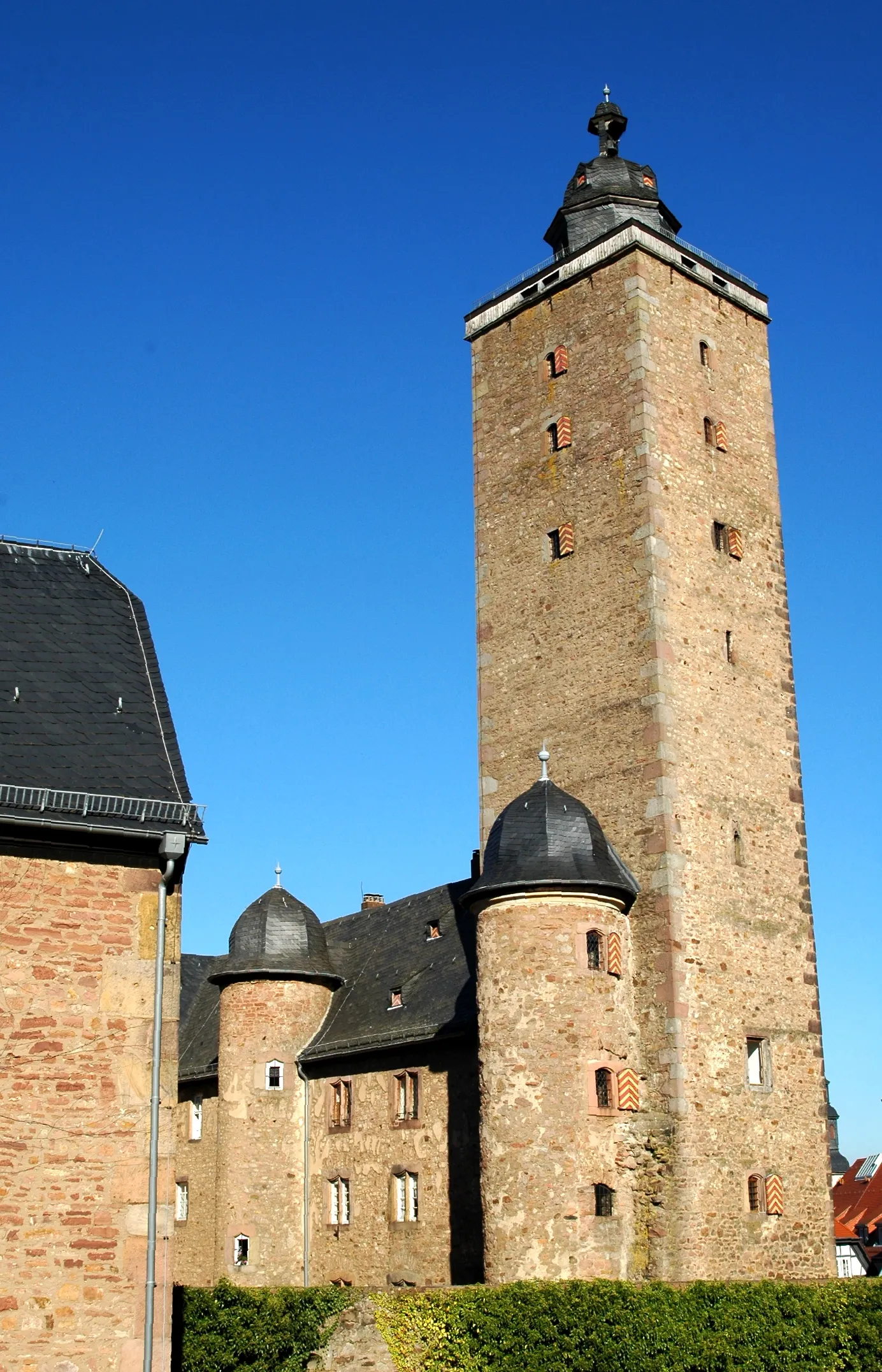
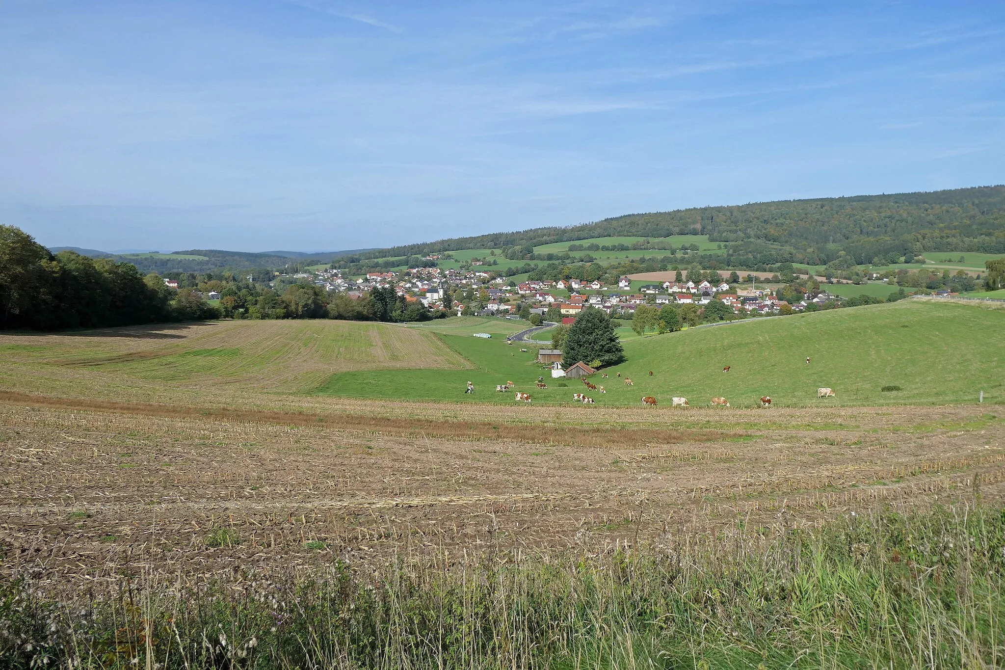
Start: Schlüchtern City centerSchlüchtern: Discovering the scenic routes and natural beauty of Schlüchtern in Germany.
Schlüchtern is a small town located in the Darmstadt region of Germany. Cycling in this area offers a unique mix of picturesque countryside roads and forested trails. As a road cyclist, you can enjoy the quiet and well-maintained roads that wind through the surrounding natural landscapes. Gravel cyclists will find plenty of opportunities for off-road adventures in the nearby Spessart Nature Park. Schlüchtern itself is a charming town with some notable historic buildings and a friendly atmosphere. For visitors, there are several bed and breakfast options and local restaurants serving traditional German cuisine. If you're looking for a peaceful and scenic cycling getaway, Schlüchtern is a great choice.9 km
9 km
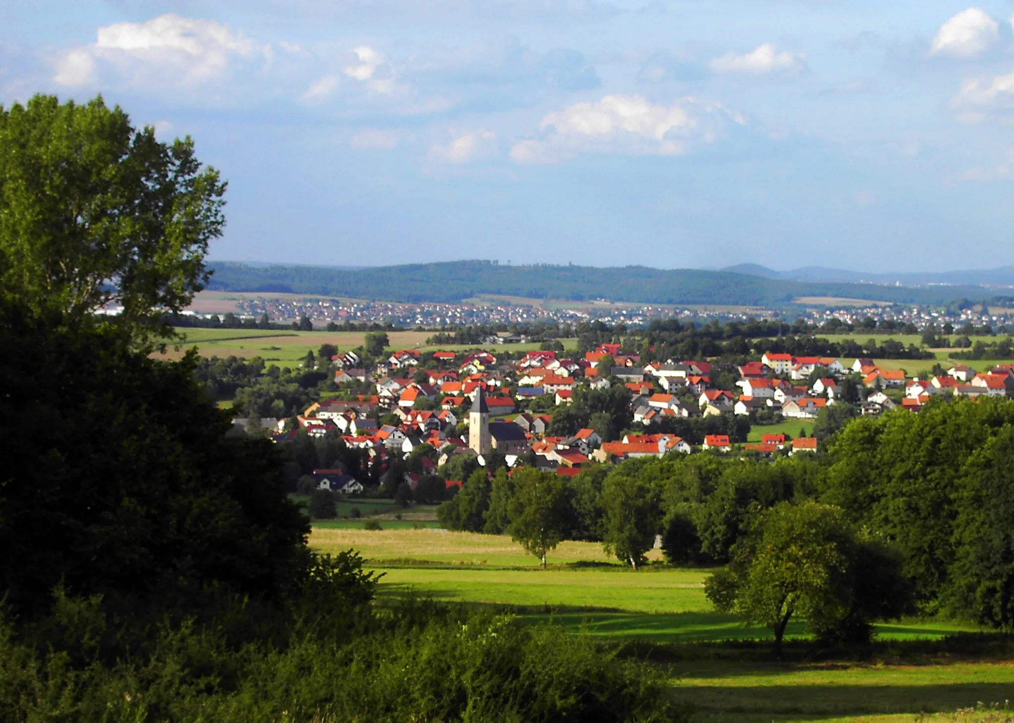
Kirschberg507 mPeakKirschberg is a small hilltop village known for its panoramic views of the surrounding countryside.
25 km
25 km
SpeicherzVillageSpeicherz is a charming village with a beautiful reservoir and stunning natural landscapes.
37 km
37 km
Ehrenberg484 mPeakEhrenberg is a historical town that features medieval architecture and cultural landmarks.
50 km
50 km
Büchelberg445 mPeakBüchelberg is a picturesque village famous for its scenic beauty and tranquil atmosphere.
61 km
61 km
MorlesauVillageMorlesau is a peaceful hamlet situated amidst verdant hills and lush forests.
69 km
69 km
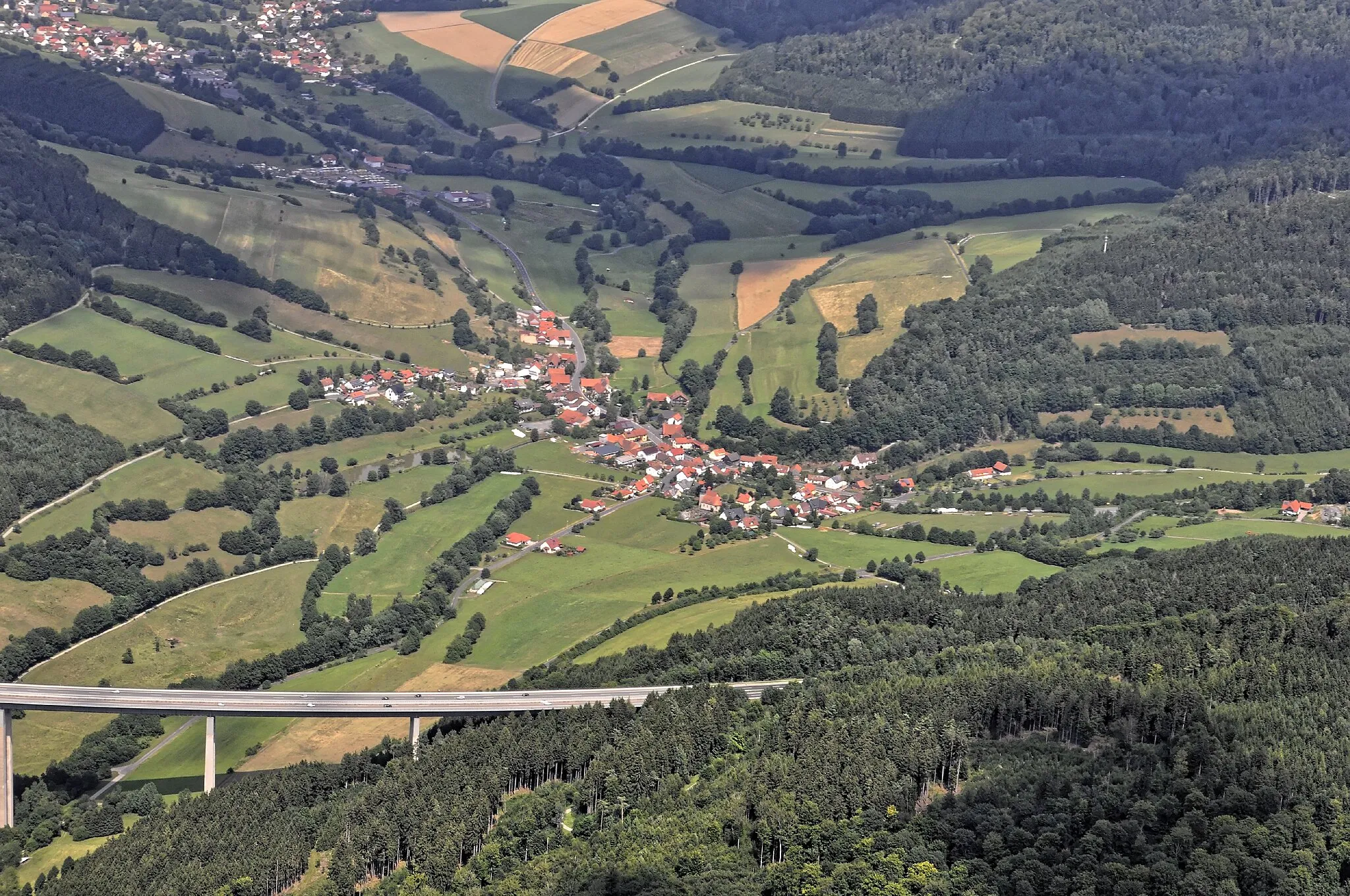
GräfendorfVillageGräfendorf is a quaint village with charming half-timbered houses and scenic views of the countryside.
86 km
86 km
ObersinnVillageObersinn is a small town known for its historic buildings, cozy cafes, and beautiful surroundings.
93 km
93 km
Grauberg349 mPeakGrauberg is a hilltop castle offering panoramic views and a glimpse into the region's history.
101 km
101 km
Weiperzberg504 mPeakWeiperzberg is a tranquil hill that offers sweeping views of the charming Rhön landscapes.
110 km
110 km
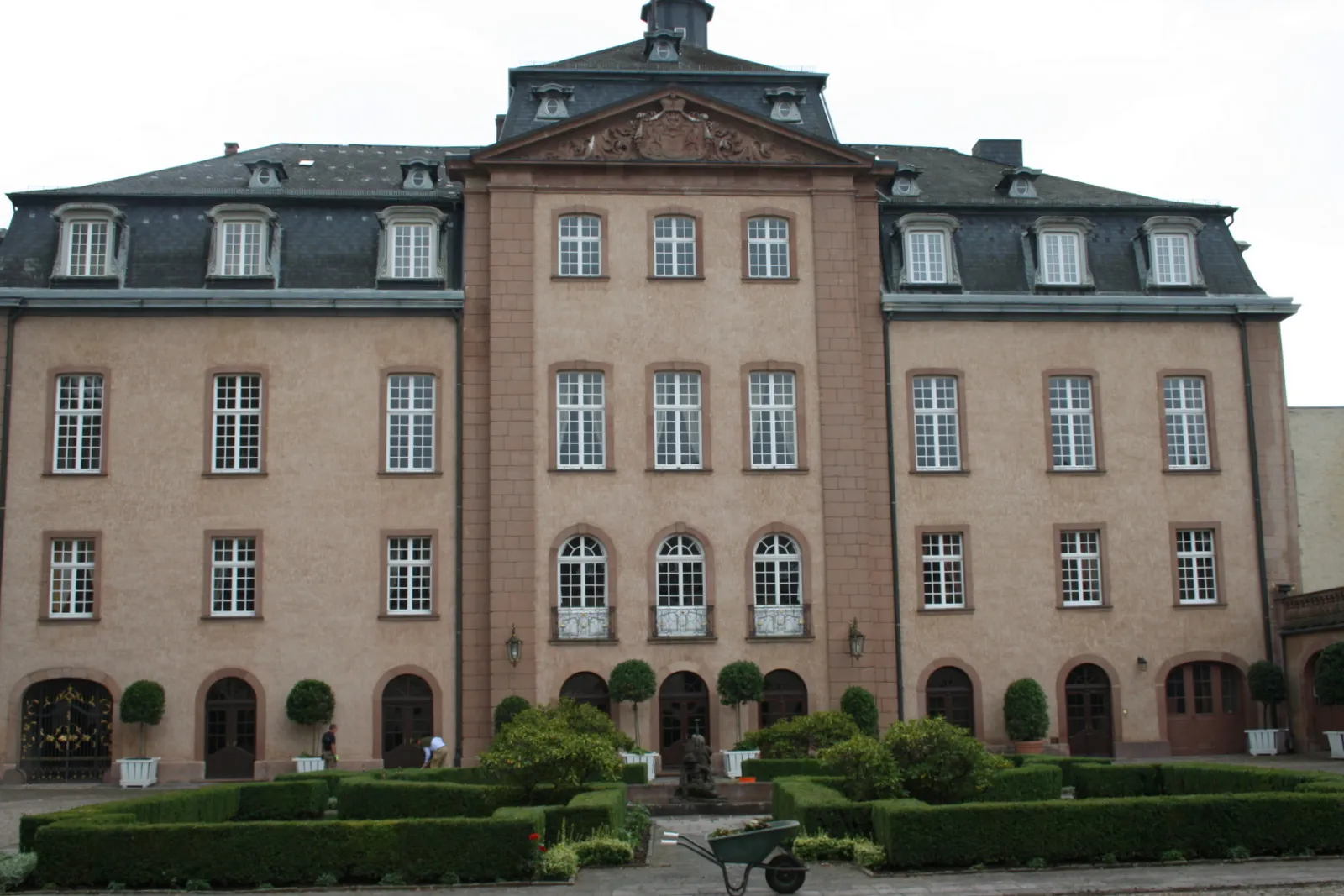
Lauter'sches SchlösschenCastleLauter'sches Schlösschen is an enchanting castle nestled amidst scenic surroundings near the end of the route.
110 km
110 km
Finish: Schlüchtern City centerSchlüchtern: Discovering the scenic routes and natural beauty of Schlüchtern in Germany.
Cycling routes from Schluechtern:
Gravel Loop from Schlüchtern The Picturesque Countryside Ride The Gravel Adventure The Challenging Road Ride Road Cycling Adventure near Darmstadt The Enchanting Rhön Adventure Picturesque Road Loop near Schlüchtern The Scenic Gravel Expedition Epic Gravel Adventure with Mountain Passes Scenic Gravel Route with Natural Wonders
Cycling routes nearby: