Challenging Terrain Quest
A gravel cycling route starting from Muelheim
Conquer the challenging trails and ascending paths around Mülheim
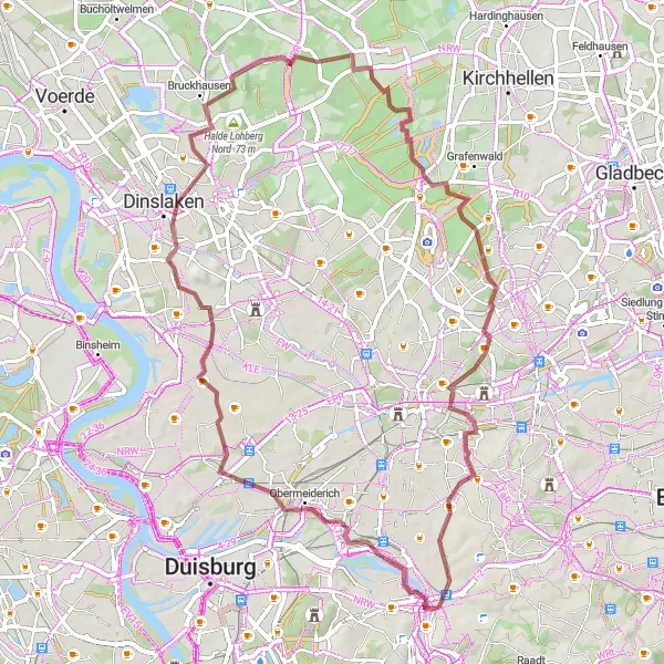
Map
Embark on a thrilling off-road adventure through rugged landscapes and vertical ascents. This 64 km route pushes your cycling skills to the limit as you conquer challenging terrain and navigate steep inclines. With a higher difficulty level and intriguing highlights along the way, this route is designed for experienced gravel cyclists seeking an adrenaline-fueled challenge.
gravel
64 km
242 m
Tough
Route profile
Highlights on the route
0 km
0 km
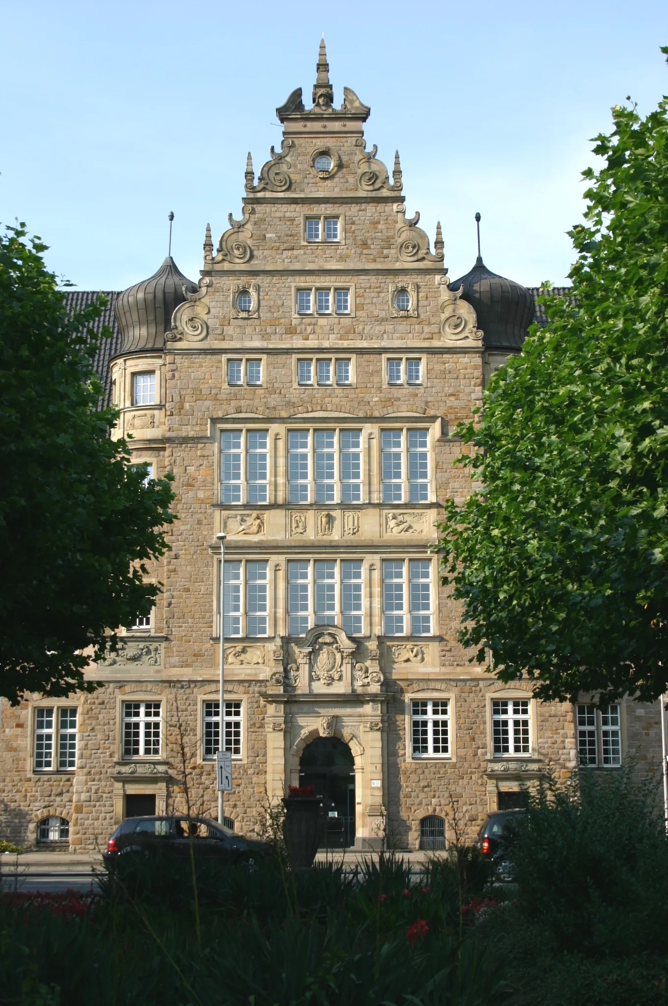
Start: Mülheim an der Ruhr City centerMülheim: Convenient city cycling and access to surrounding areas.
Mülheim in Düsseldorf, Germany, provides a cyclist's perspective with its extensive network of bike paths and well-connected infrastructure. Cyclists can navigate the city seamlessly while enjoying the welcoming ambiance. While Mülheim may not have any famous climbs right at its doorstep, it serves as a convenient starting point for exploring nearby cycling destinations such as the famous Rhine Cycle Route or the Bergisches Land.0 km
0 km
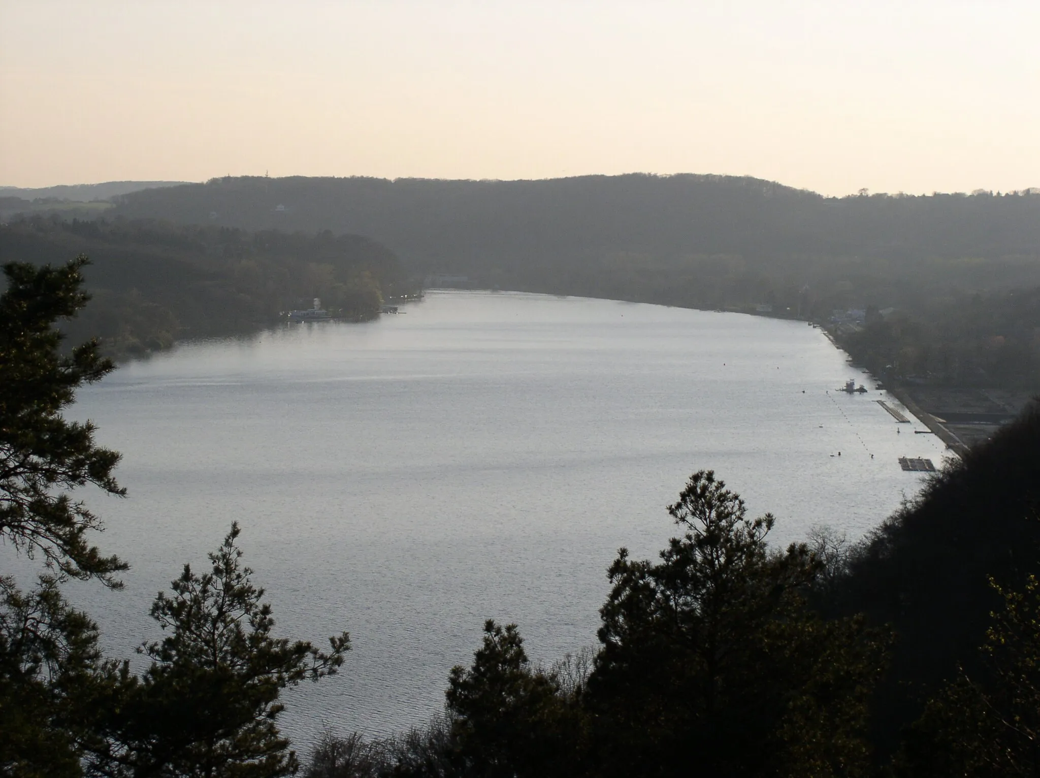
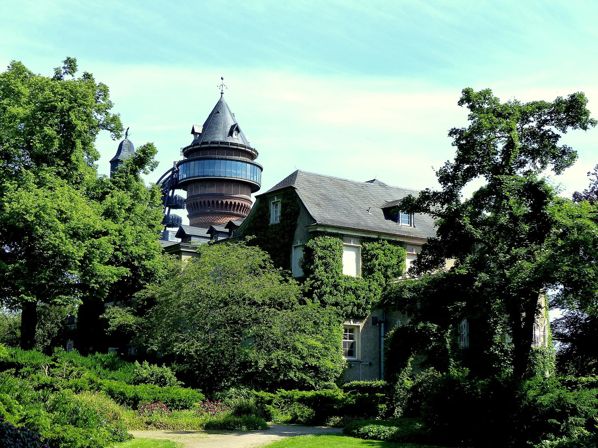
Scheifhacke-TurmViewpointPerched atop a hill, Scheifhacke-Turm provides a breathtaking 360-degree view of the surrounding region.
3 km
3 km
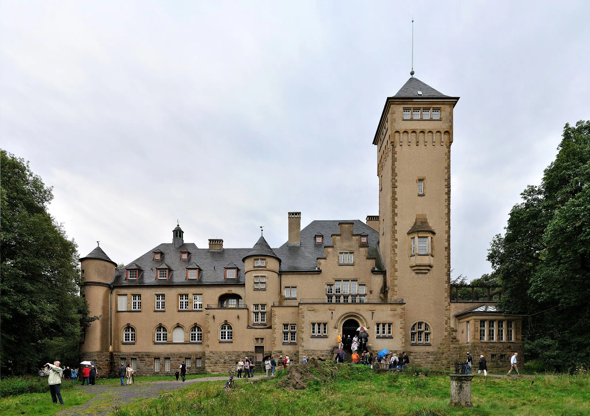
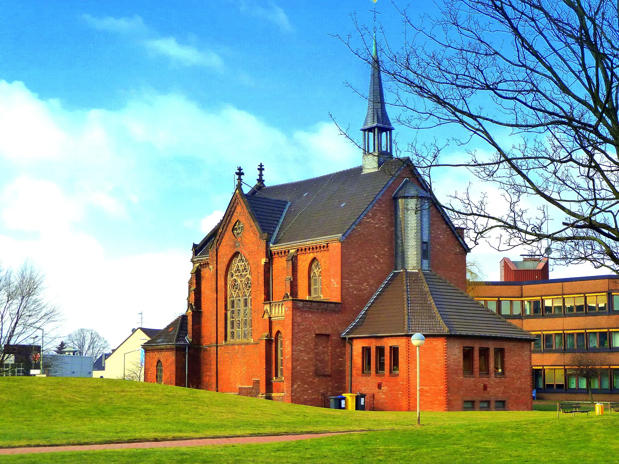
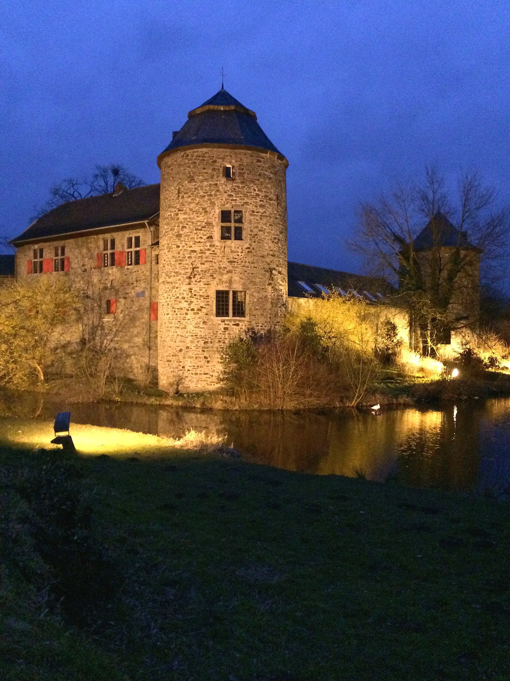
Schloss StyrumCastleTake a detour to Schloss Styrum, a magnificent castle offering a glimpse into the region's rich history.
11 km
11 km
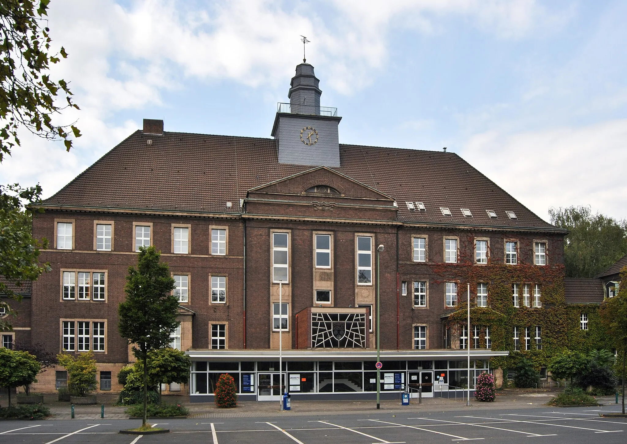
MeiderichSub-urbMeiderich showcases its industrial heritage with imposing structures that envelop cyclists in a sense of awe.
23 km
23 km
AverbruchSub-urbAverbruch's picturesque nature reserve offers sanctuary to various bird species, making it a great spot for ornithology enthusiasts.
30 km
30 km
Halde Lohberg Nord Erweiterung81 mPeakHalde Lohberg Nord Erweiterung entices adventurers with its abandoned mining infrastructure and panoramic views from the summit.
35 km
35 km
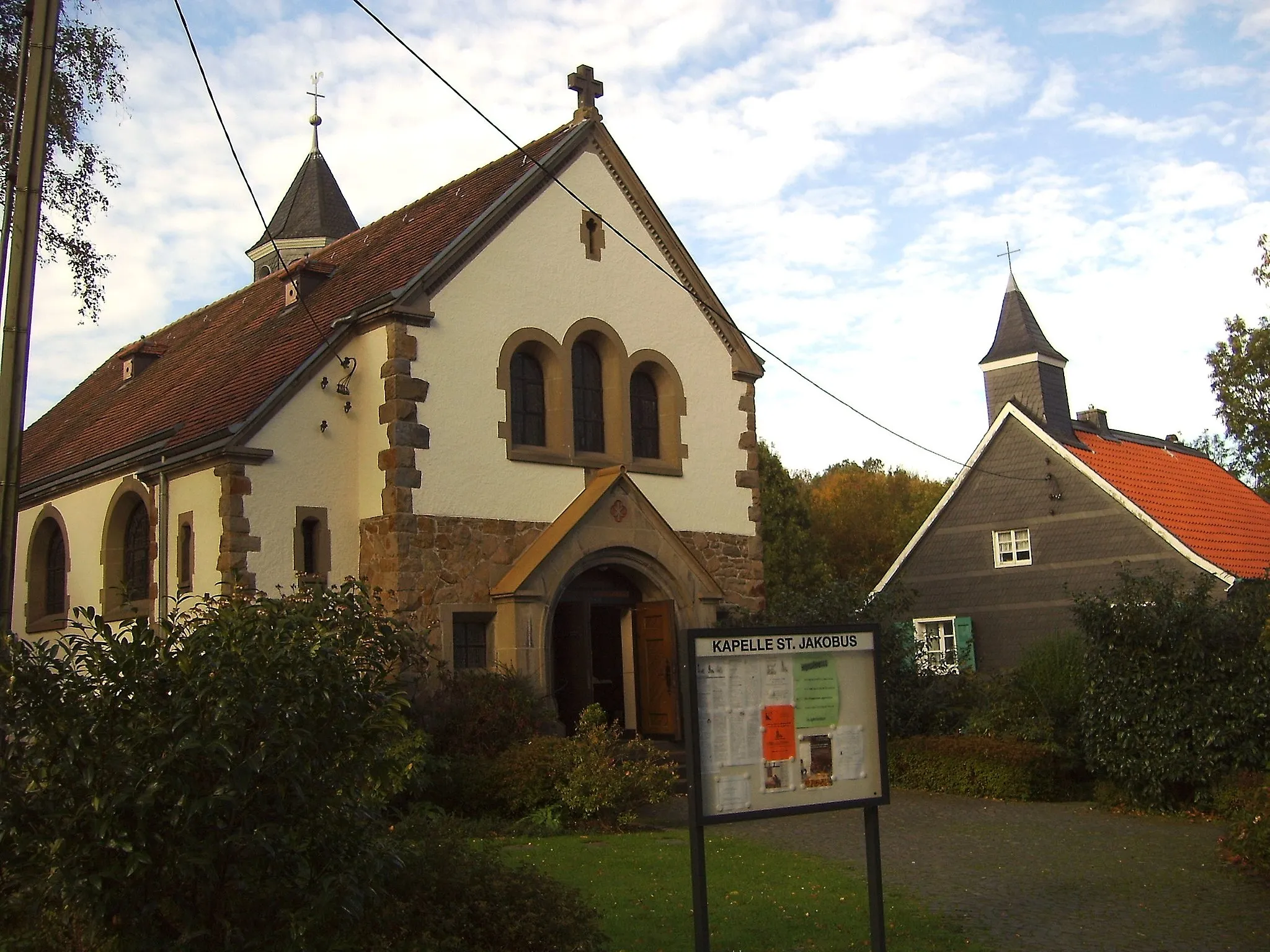
TeufelssteineAttractionIn the heart of Obereyll, the Teufelssteine formation stands as a geological marvel, capturing the attention of all passing cyclists.
46 km
46 km
Halde Schöttelheide111 mPeakHalde Schöttelheide presents an intriguing juxtaposition of industrial structures and beautiful natural surroundings.
64 km
64 km
Mülheim an der RuhrCityMülheim an der Ruhr, the endpoint of the route, offers a vibrant cycling and cultural scene with plenty of amenities for cyclists.
64 km
64 km
Finish: Mülheim an der Ruhr City centerMülheim: Convenient city cycling and access to surrounding areas.
Cycling routes nearby: