Best of Mülheim Gravel Ride
A gravel cycling route starting from Muelheim
Explore the best of Mülheim on this stunning gravel ride.
Map
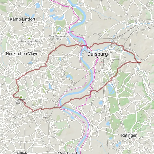
The Best of Mülheim Gravel Ride is a scenic cycling route that showcases the highlights of Mülheim and its surroundings. With a total distance of 70 kilometers and an elevation gain of 219 meters, it provides a satisfying challenge for gravel enthusiasts. The route starts near Mülheim and takes you through picturesque landscapes, charming villages, and historical sites.
gravel
70 km
219 m
Tough
Route profile
Highlights on the route
0 km
0 km
Start: Mülheim an der Ruhr City centerMülheim: Convenient city cycling and access to surrounding areas.
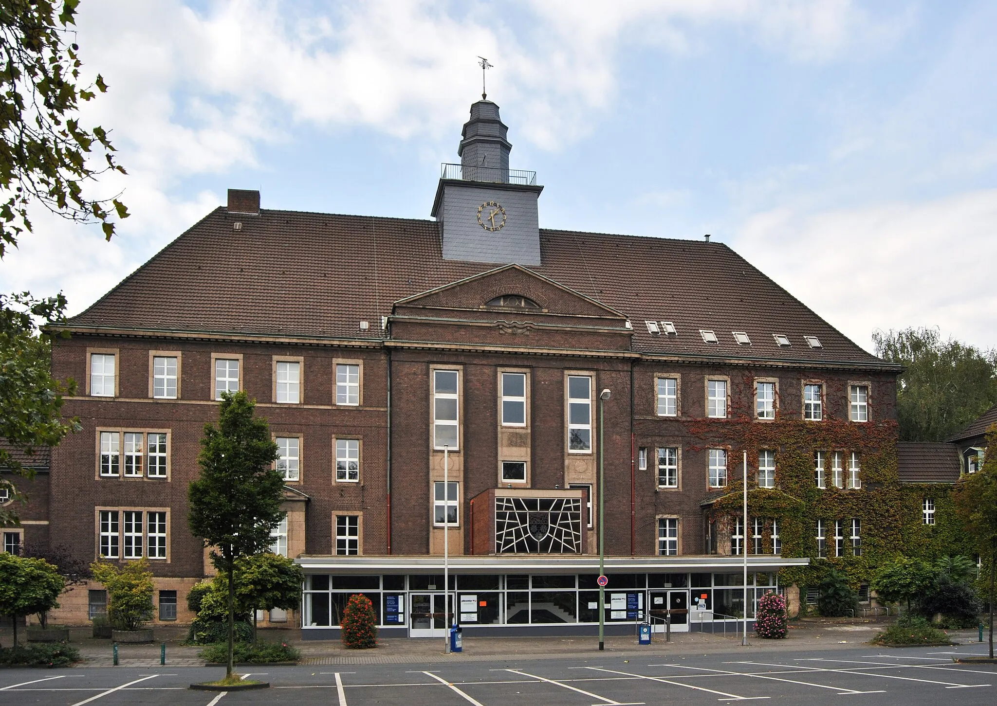
Mülheim in Düsseldorf, Germany, provides a cyclist's perspective with its extensive network of bike paths and well-connected infrastructure. Cyclists can navigate the city seamlessly while enjoying the welcoming ambiance. While Mülheim may not have any famous climbs right at its doorstep, it serves as a convenient starting point for exploring nearby cycling destinations such as the famous Rhine Cycle Route or the Bergisches Land.0 km
0 km
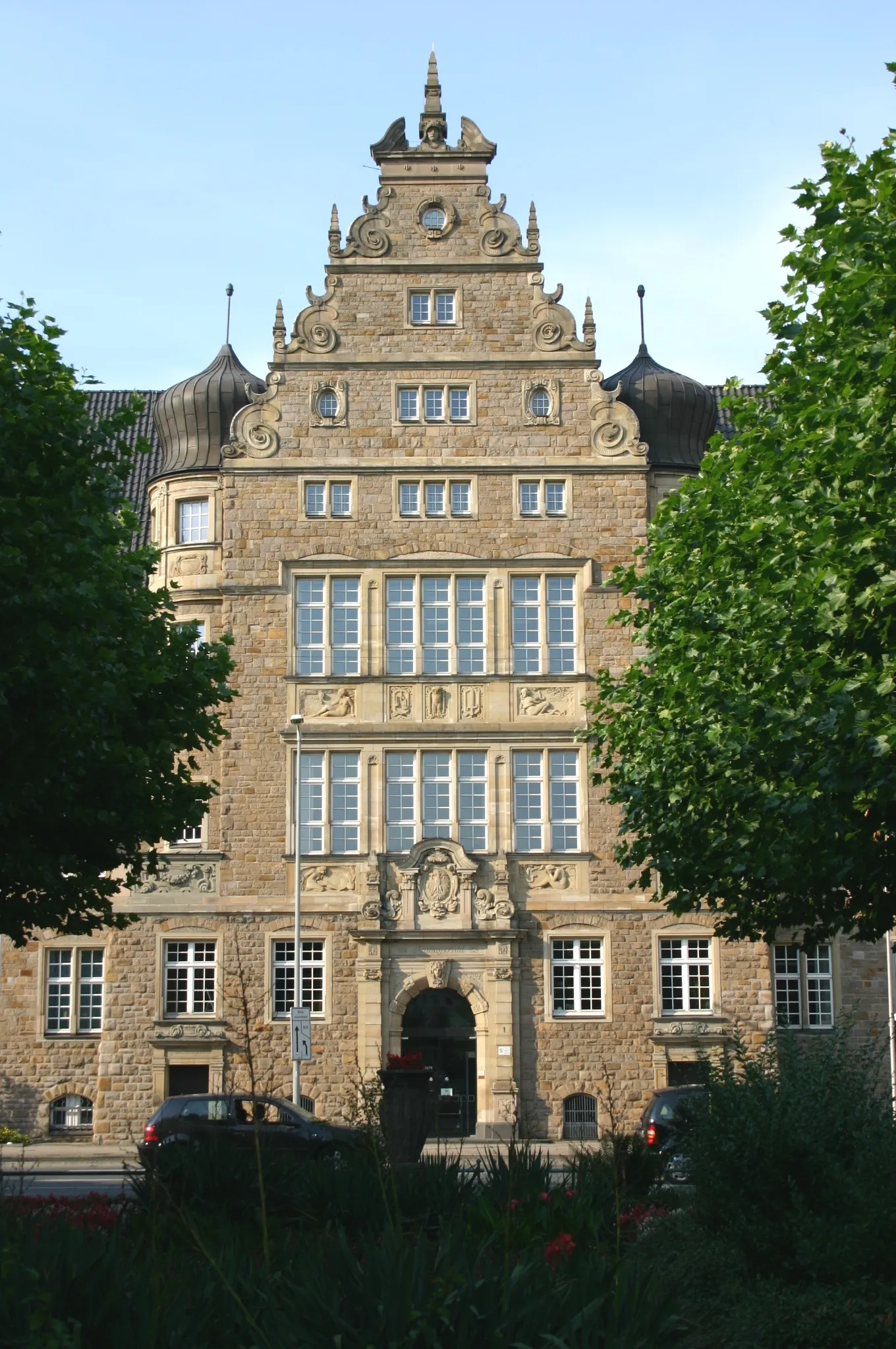
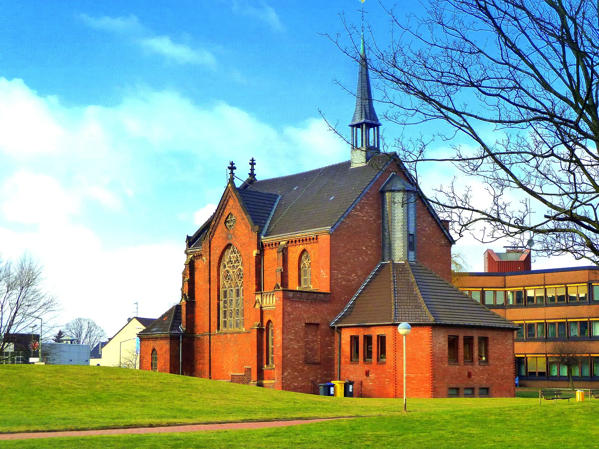
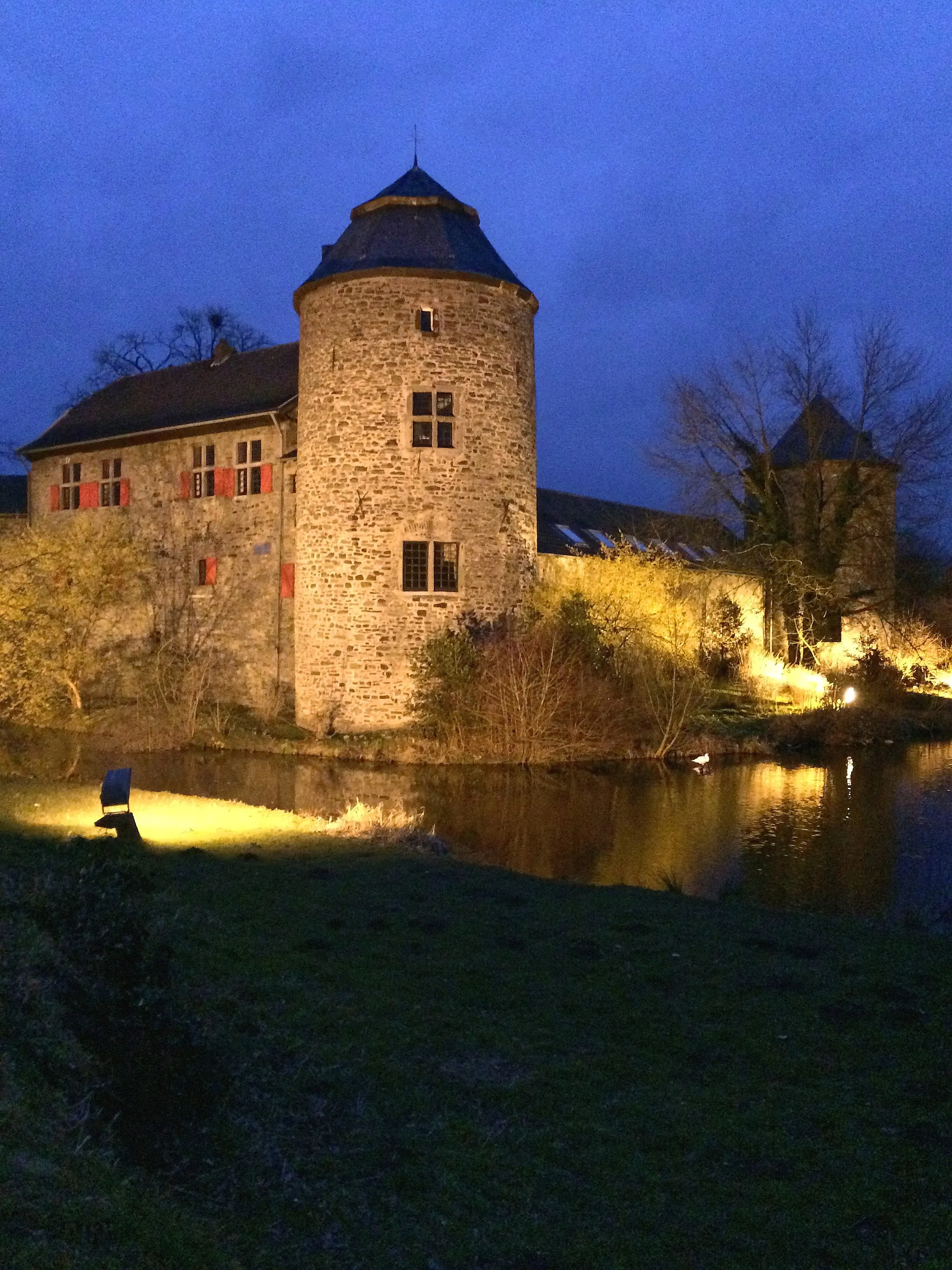
PalasCastlePalas is a historical castle located along the route, offering a glimpse into the region's rich history.
0 km
0 km
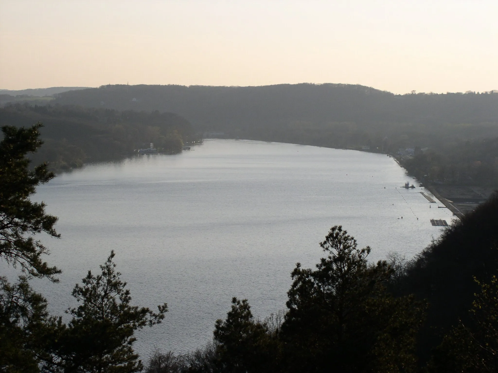
Scheifhacke-TurmViewpointScheifhacke-Turm is a medieval tower that provides panoramic views of the surrounding countryside.
13 km
13 km
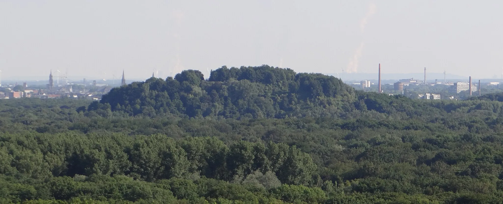
Heinrich-Hildebrand-Höhe67 mPeakHeinrich-Hildebrand-Höhe is a scenic viewpoint with breathtaking vistas overlooking the region.
21 km
21 km
Krefeld-Uerdinger BrückeAttractionKrefeld-Uerdinger Brücke is a stunning bridge that spans the Rhine River, offering a unique perspective of the waterway.
36 km
36 km
Aussichtsturm Hülser BergViewpointAussichtsturm Hülser Berg is a lookout tower that offers commanding views of the surrounding landscape.
44 km
44 km
HolderbergVillageHolderberg is a scenic hill with a viewpoint, offering great photo opportunities.
55 km
55 km
MühlenweideViewpointMühlenweide is a picturesque meadow with grazing animals and a tranquil atmosphere, perfect for relaxation.
67 km
67 km
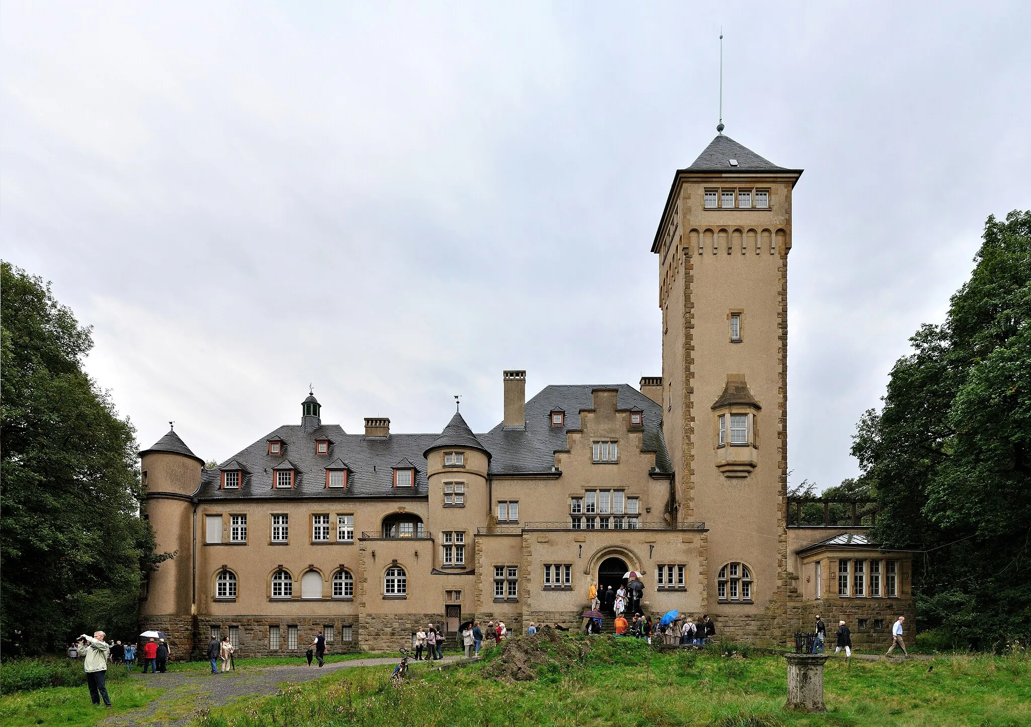
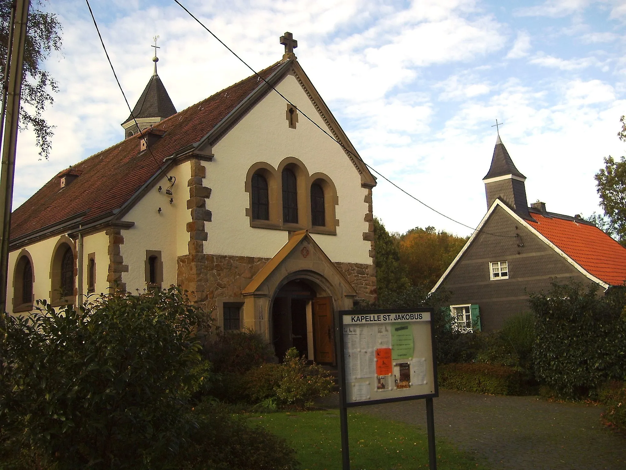
Schloss StyrumCastleSchloss Styrum is an impressive castle located in the charming town of Styrum, showcasing the grandeur of the region's history.
70 km
70 km
Finish: Mülheim an der Ruhr City centerMülheim: Convenient city cycling and access to surrounding areas.
Cycling routes nearby: