Ruhr Valley Loop
A road cycling route starting from Muelheim
Cycle through the scenic Ruhr Valley and discover highlights along the way.
Map
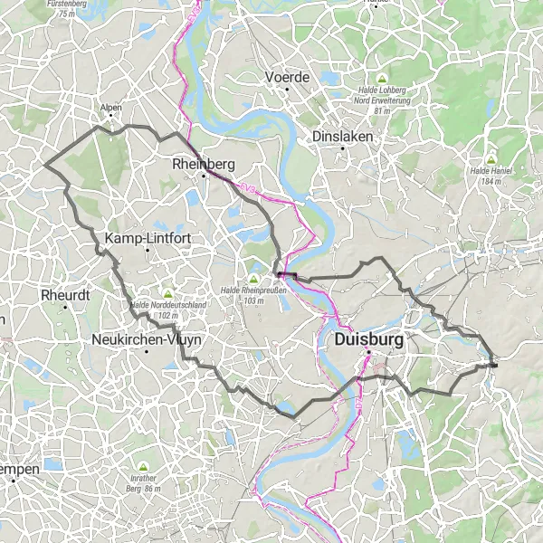
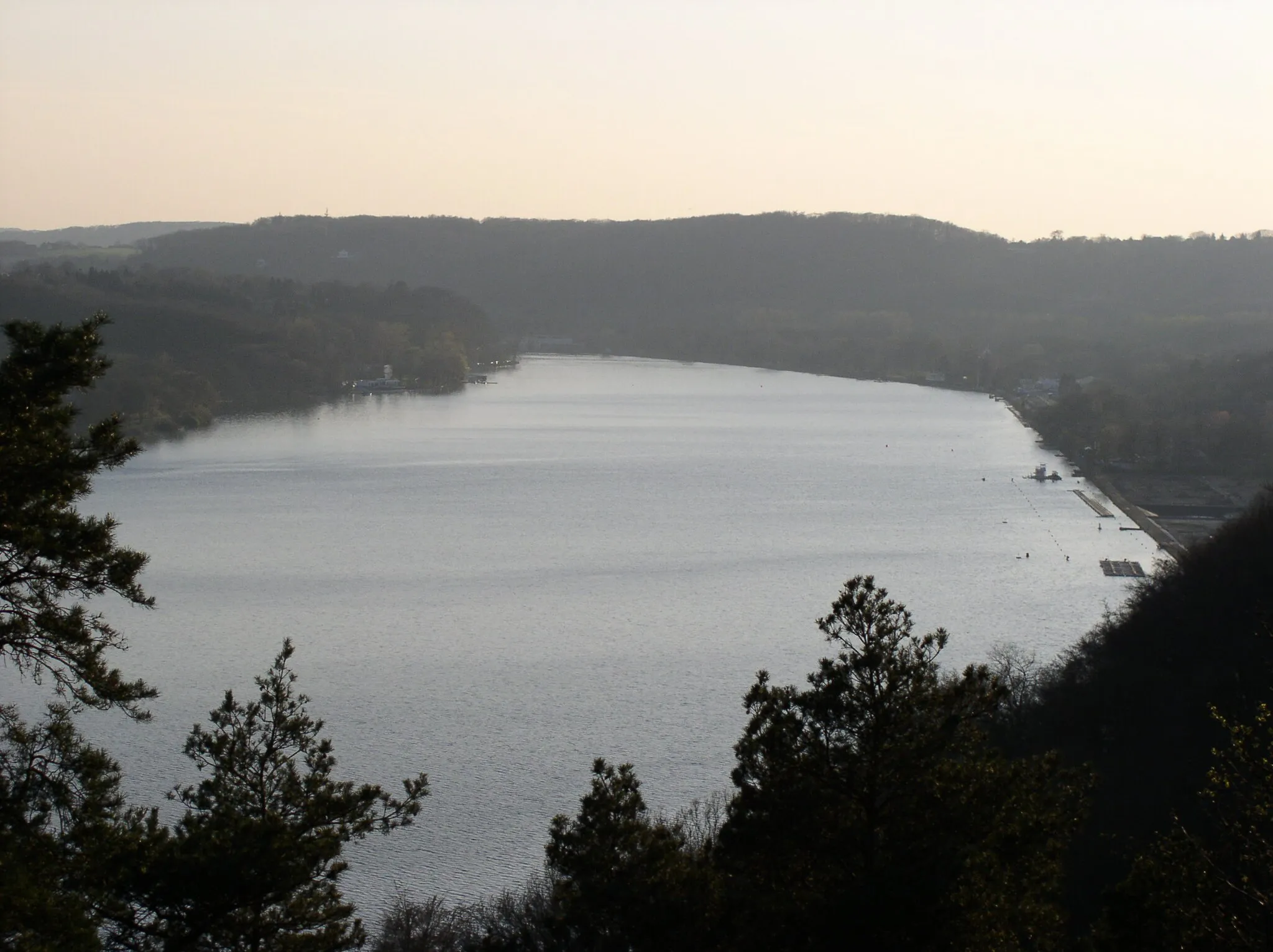
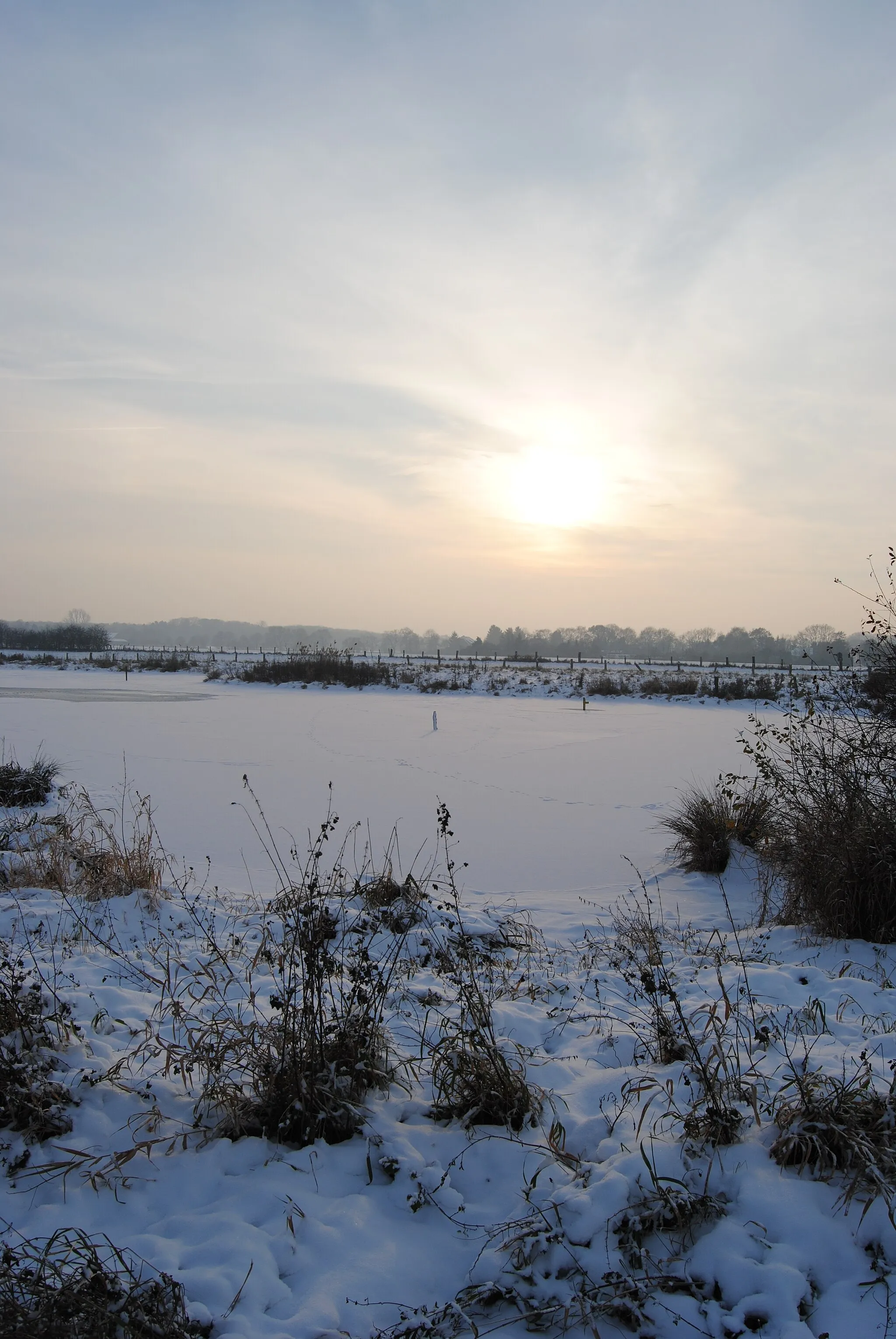
The Ruhr Valley Loop is a beautiful cycling route that takes you through the picturesque landscapes of the Ruhr Valley. With a total distance of 91 kilometers and an elevation gain of 232 meters, it offers a moderate level of challenge for well-trained amateurs. The route starts near Mülheim, a city known for its industrial heritage and charming riverfront.
road
91 km
232 m
Tough
Route profile
Highlights on the route
0 km
0 km
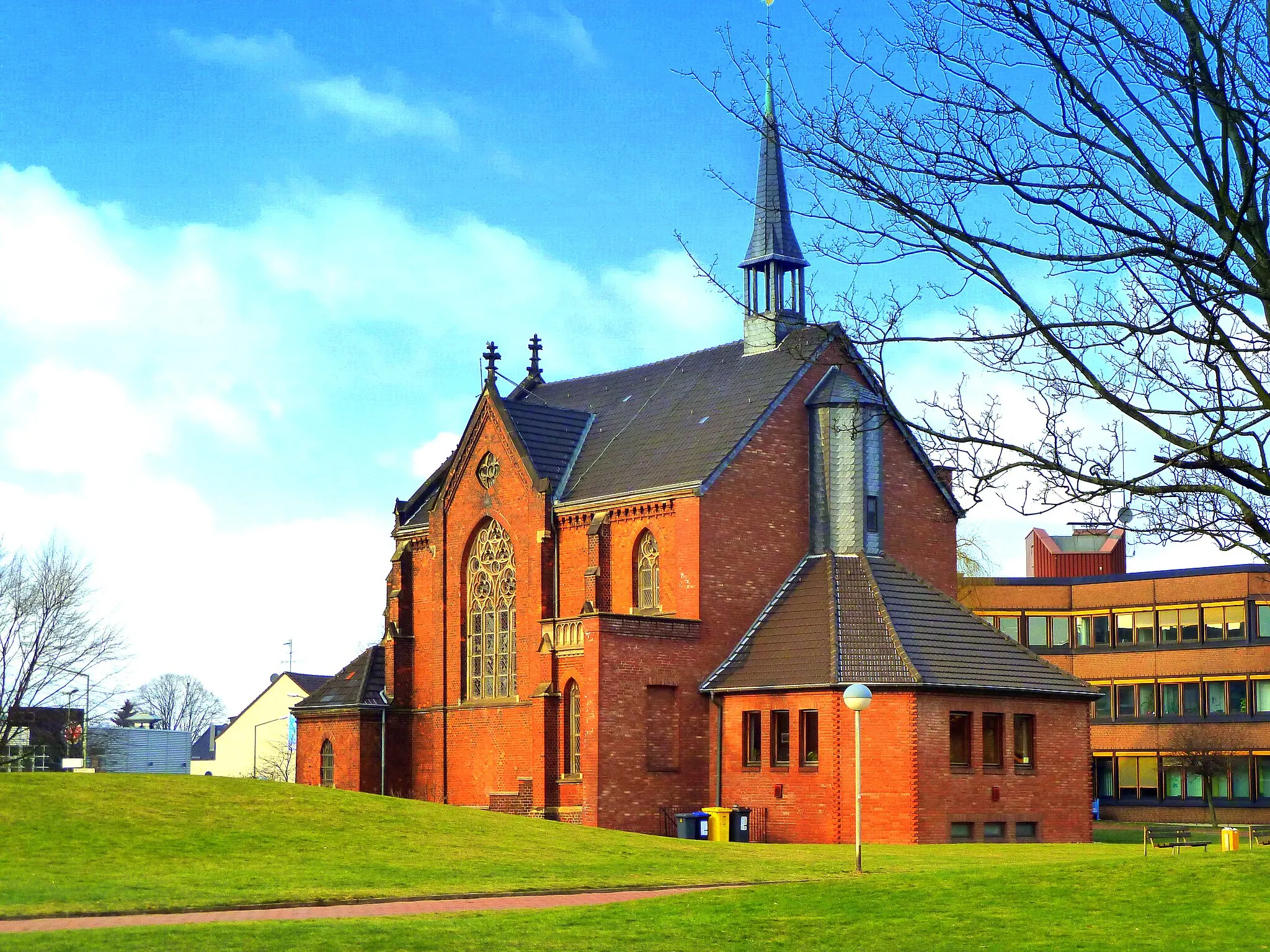
Start: Mülheim an der Ruhr City centerMülheim: Convenient city cycling and access to surrounding areas.
Mülheim in Düsseldorf, Germany, provides a cyclist's perspective with its extensive network of bike paths and well-connected infrastructure. Cyclists can navigate the city seamlessly while enjoying the welcoming ambiance. While Mülheim may not have any famous climbs right at its doorstep, it serves as a convenient starting point for exploring nearby cycling destinations such as the famous Rhine Cycle Route or the Bergisches Land.0 km
0 km
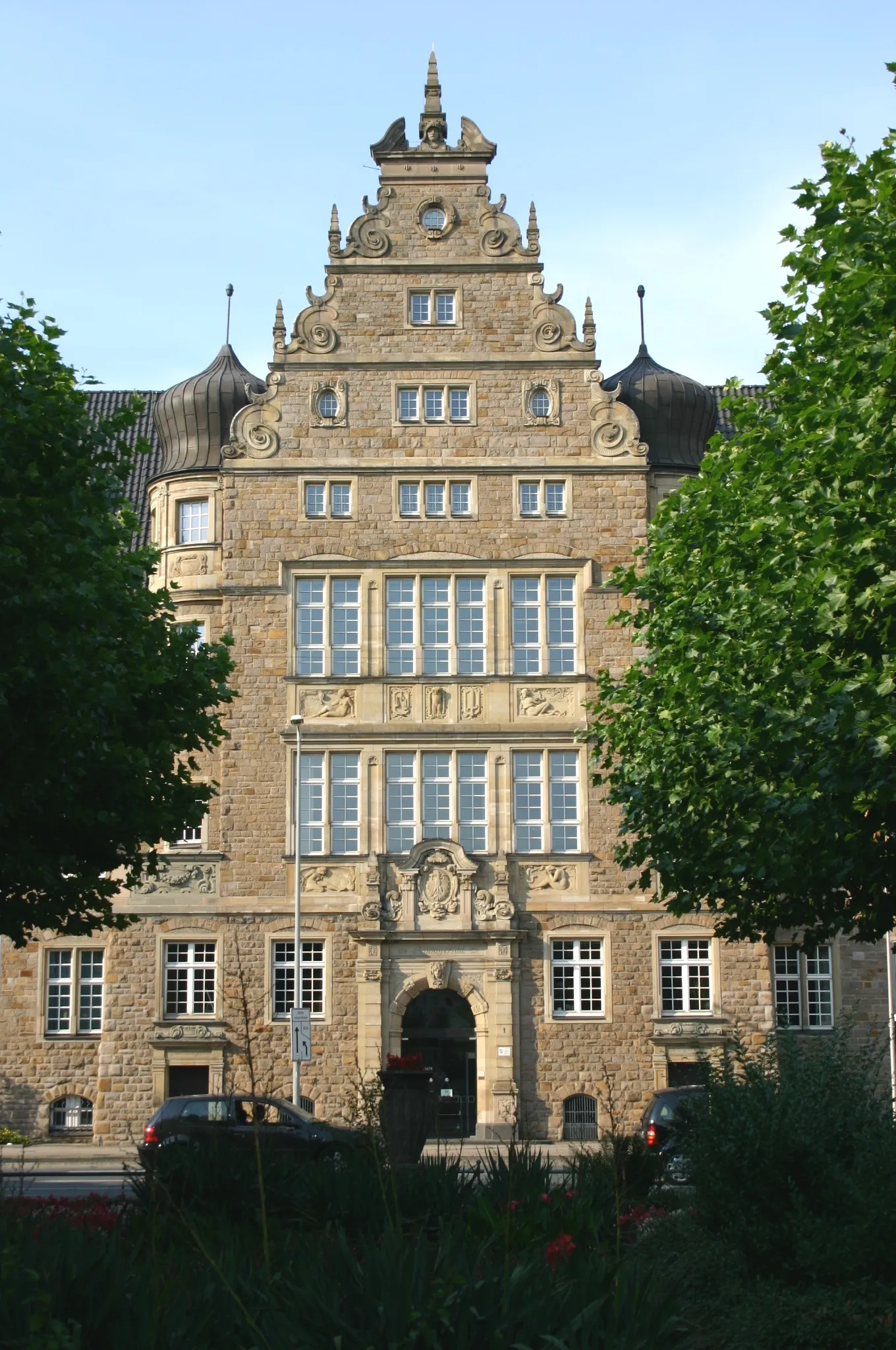
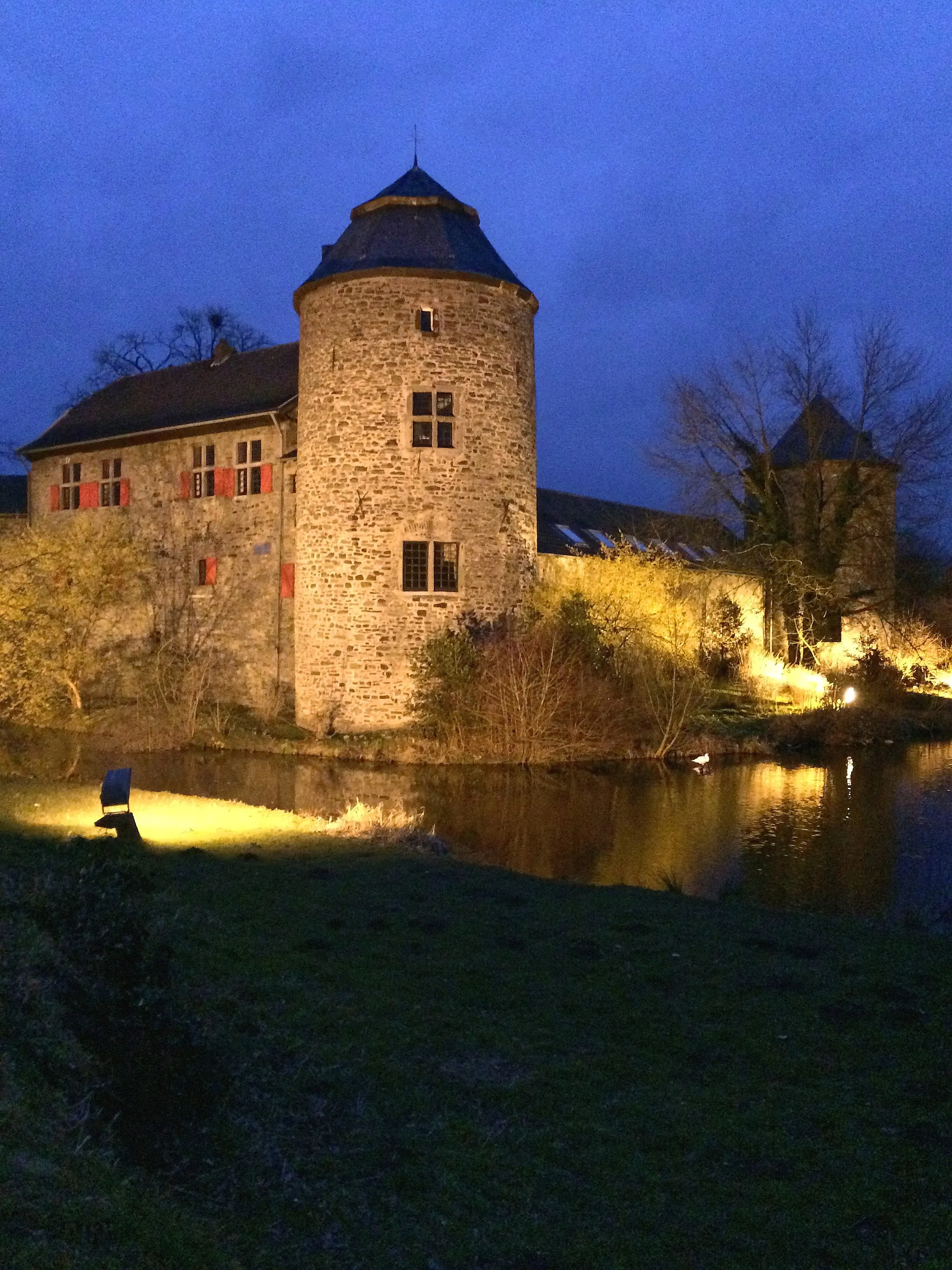
PalasCastlePalas is a historical castle located along the route, offering a glimpse into the region's rich history.
0 km
0 km
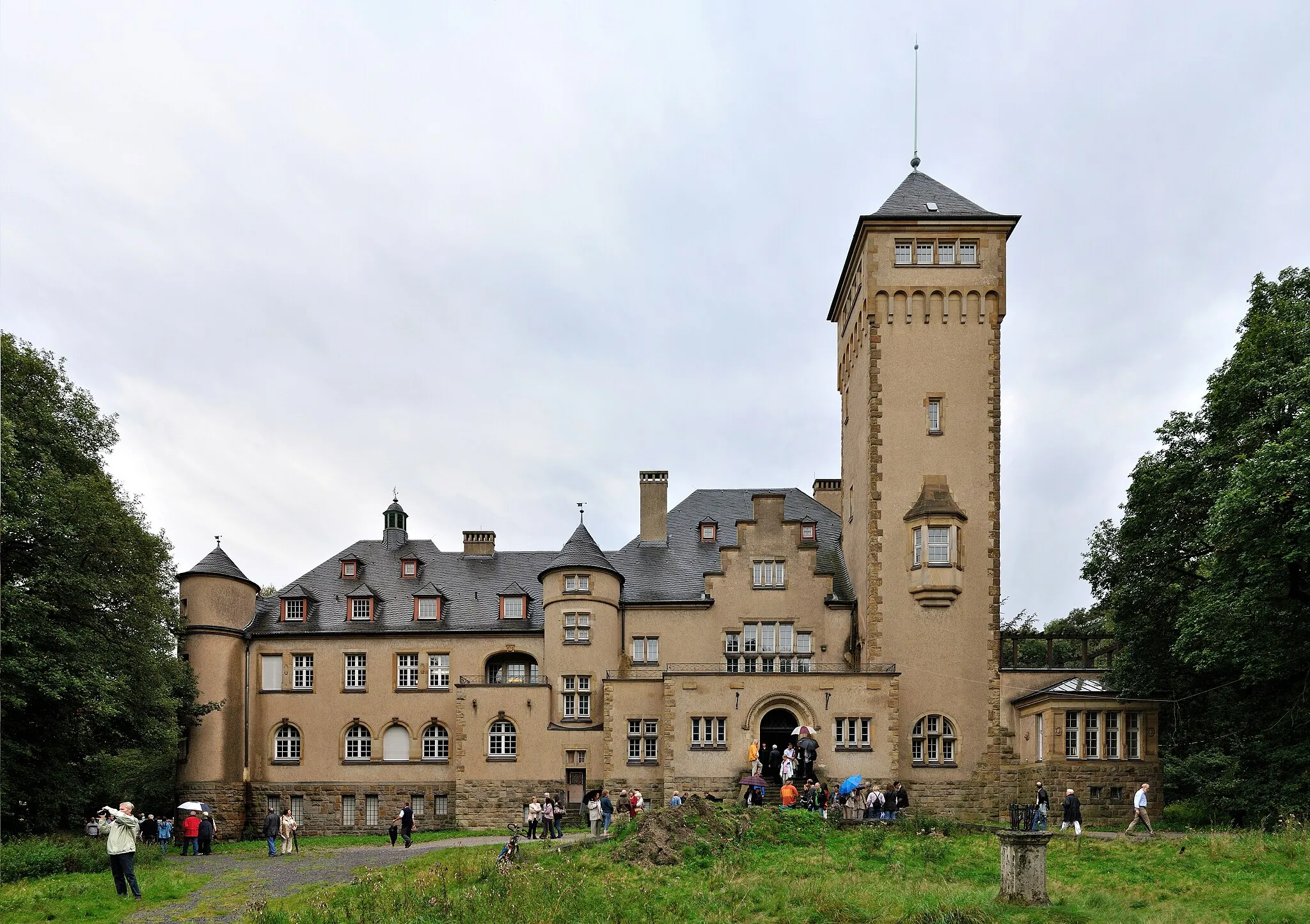
Scheifhacke-TurmViewpointScheifhacke-Turm is a medieval tower that provides panoramic views of the surrounding countryside.
23 km
23 km
HolderbergVillageHolderberg is a scenic hill with a viewpoint, offering great photo opportunities.
33 km
33 km
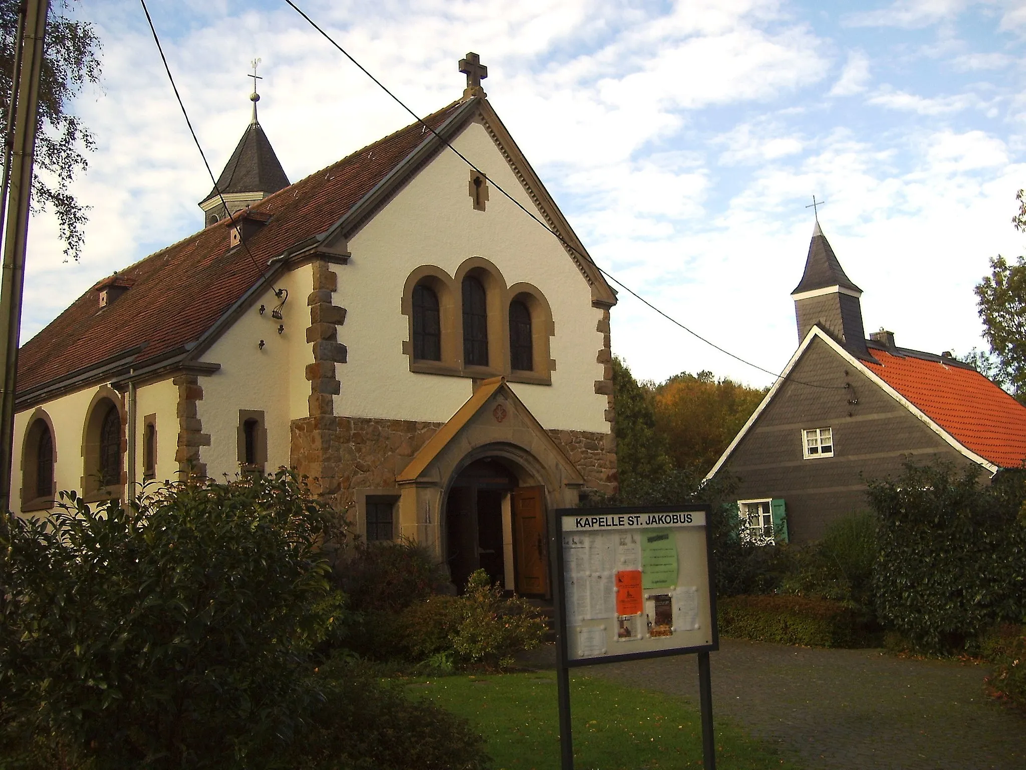
RayenVillageRayen is a charming village that embodies the rural charm of the region.
35 km
35 km
Deponie Eyller Berg63 mPeakDeponie Eyller Berg is a reclaimed landfill site that has been transformed into a nature park.
59 km
59 km
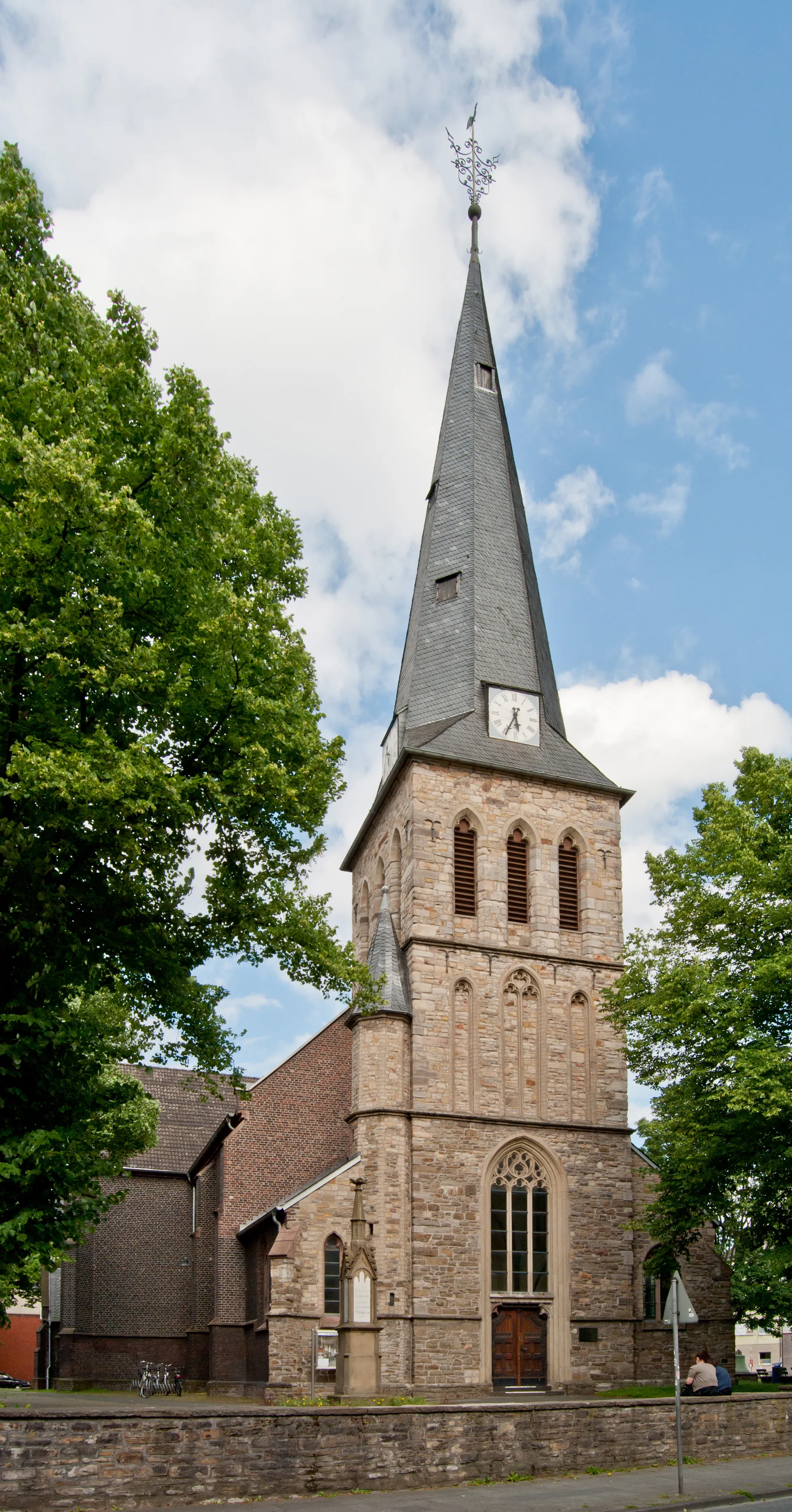
RheinbergTownRheinberg is a historical town along the route, known for its architecture and cultural attractions.
79 km
79 km
Monte SchlackoViewpointMonte Schlacko is a small mountain offering picturesque views of the surrounding area.
83 km
83 km
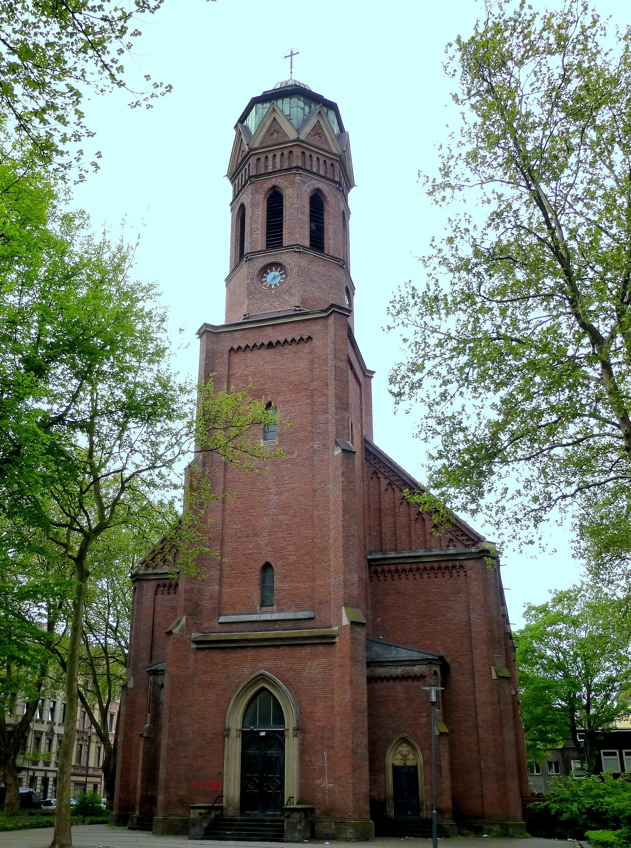
ObermeiderichVillageObermeiderich is a charming neighborhood with historic buildings and quaint streets.
91 km
91 km
Mülheim an der RuhrCityMülheim an der Ruhr is the starting and ending point of the route and offers a range of cultural and gastronomic attractions.
91 km
91 km
Finish: Mülheim an der Ruhr City centerMülheim: Convenient city cycling and access to surrounding areas.
Cycling routes nearby: