Bietigheim to Malsch Gravel Route
A gravel cycling route starting from Bietigheim
Explore the gravel paths from Bietigheim to Malsch
Map
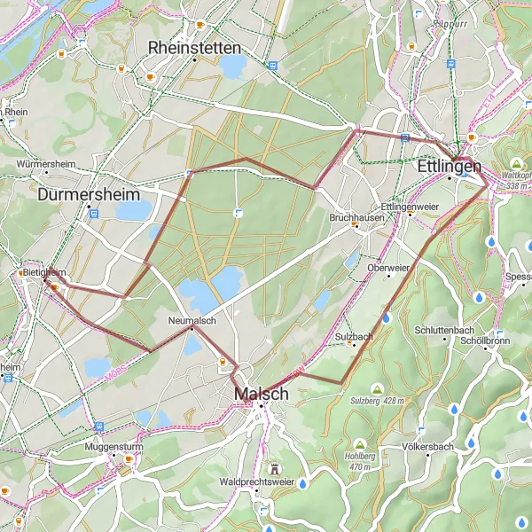
This 36-km gravel route takes you through scenic landscapes, with highlights including Bäretriewerhütte, Ettlingen, Hellberg, Malsch, and Willi-Renkert-Waldhütte. With an ascent of 247 meters, this route offers a relatively easy challenge suitable for amateur cyclists. Enjoy the tranquility of the natural surroundings, discover charming villages, and experience the diversity of the terrain along this captivating route.
gravel
36 km
247 m
Chill
Route profile
Highlights on the route
0 km
0 km
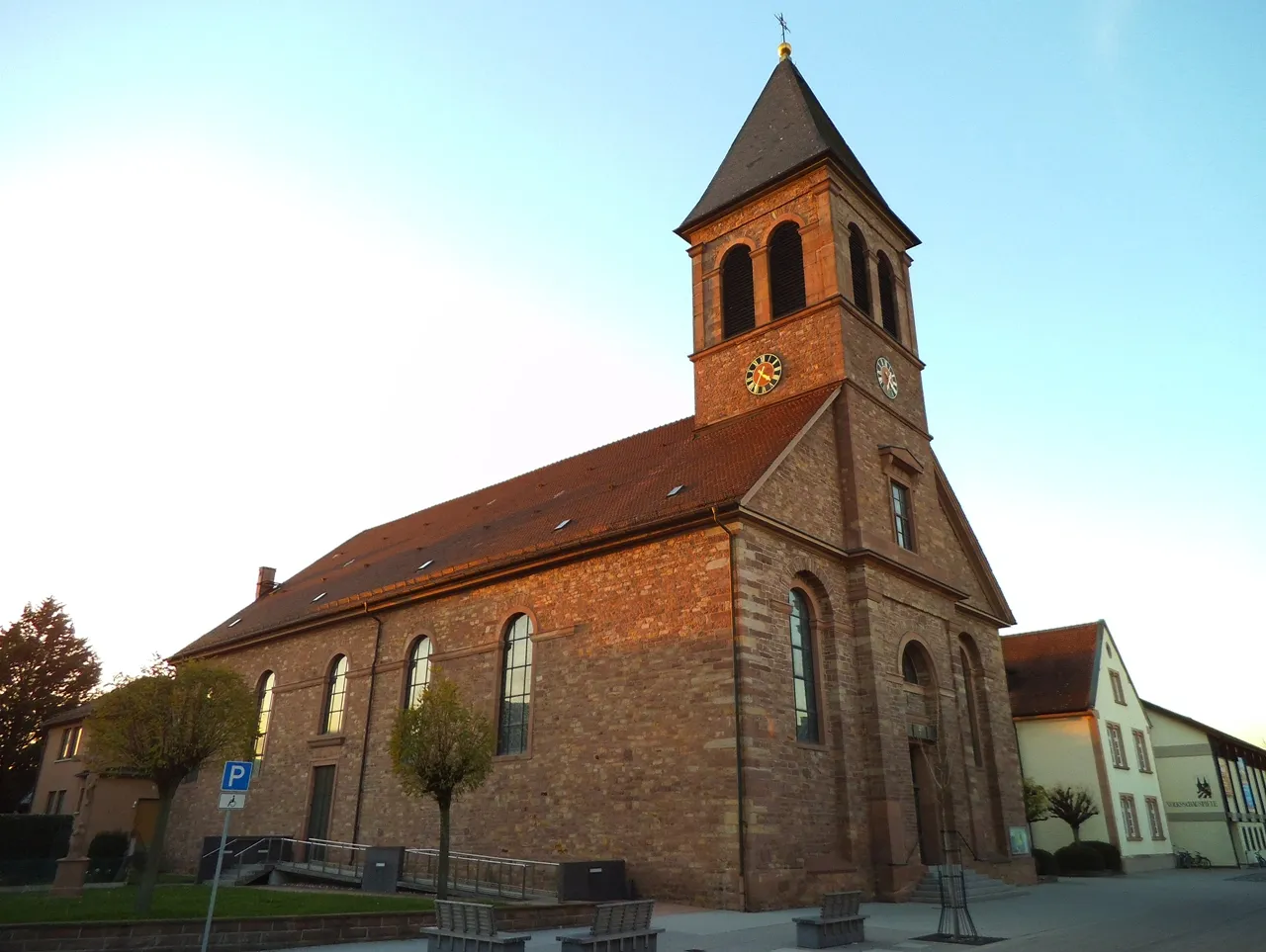
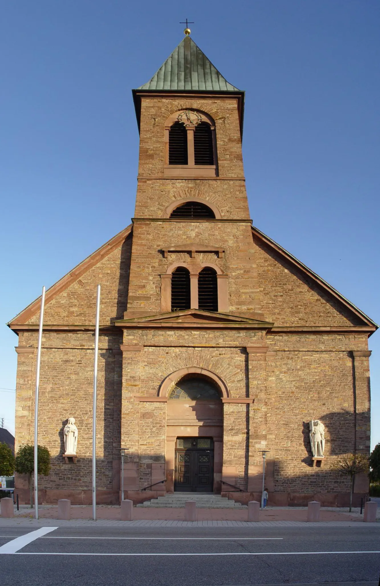
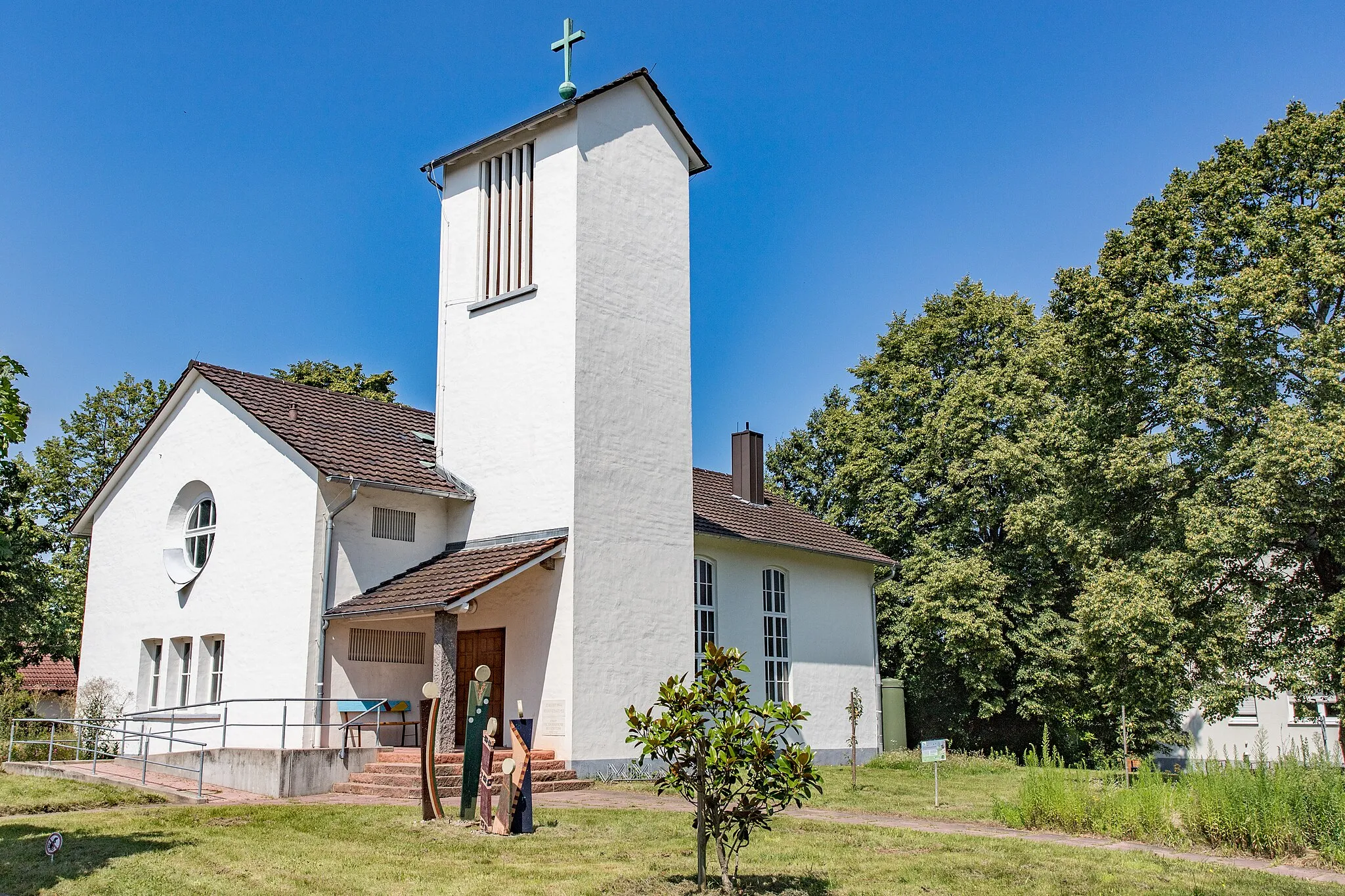
Start: Bietigheim Village centerBietigheim: Cycling-friendly town with access to Black Forest routes.
Bietigheim, located in Karlsruhe, Germany, is a cyclist-friendly town offering a range of road and gravel cycling options. The town is situated near the Black Forest, known for its excellent cycling routes and challenging climbs. Cyclists can explore the picturesque landscapes, ride through dense forests, and challenge themselves on steep ascents. Bietigheim also hosts various local cycling events and has a vibrant cycling community. With its scenic surroundings and cycling-friendly atmosphere, Bietigheim is a great destination for both recreational and competitive cyclists.6 km
6 km
BäretriewerhütteShelter15 km
15 km
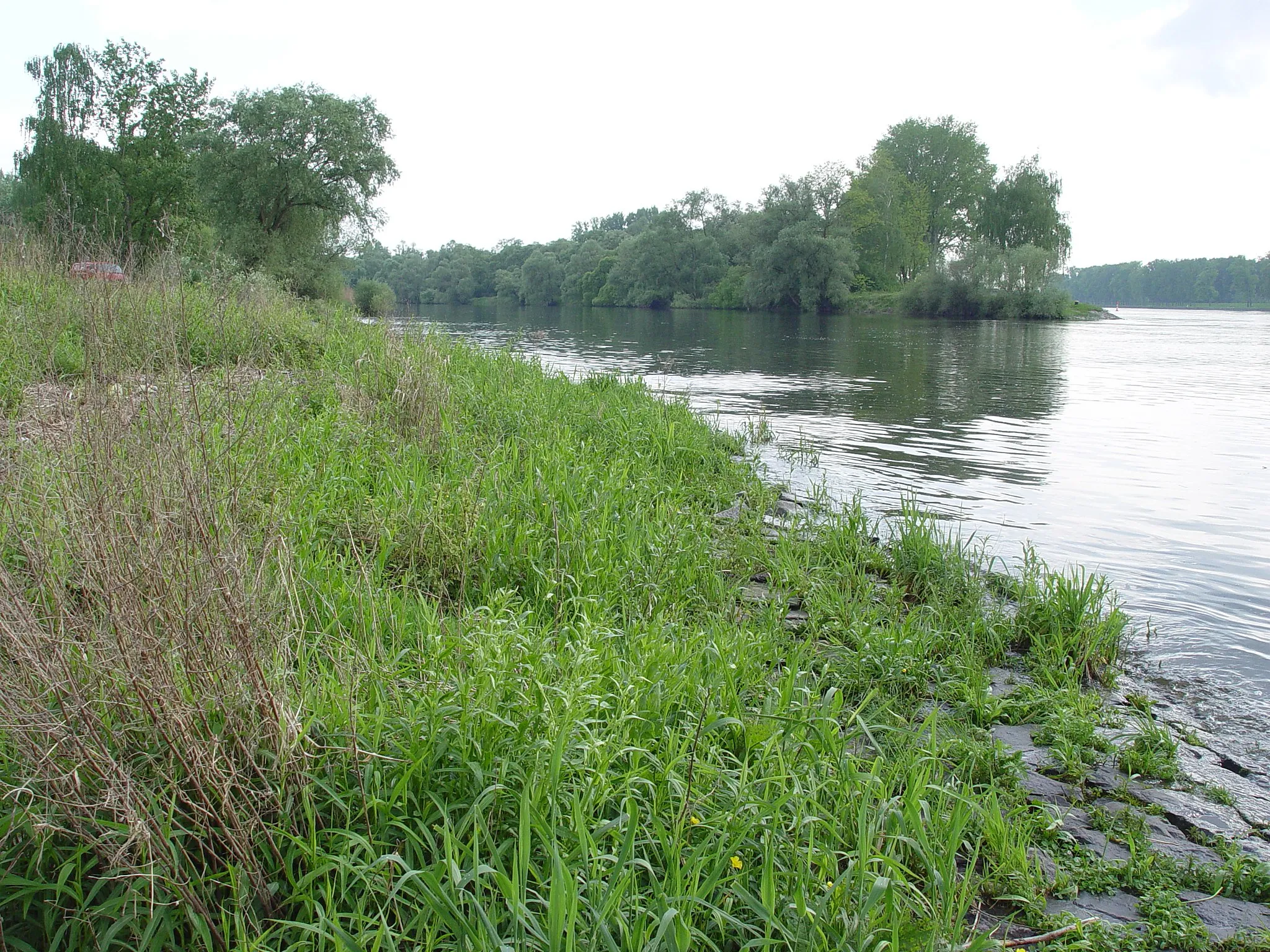
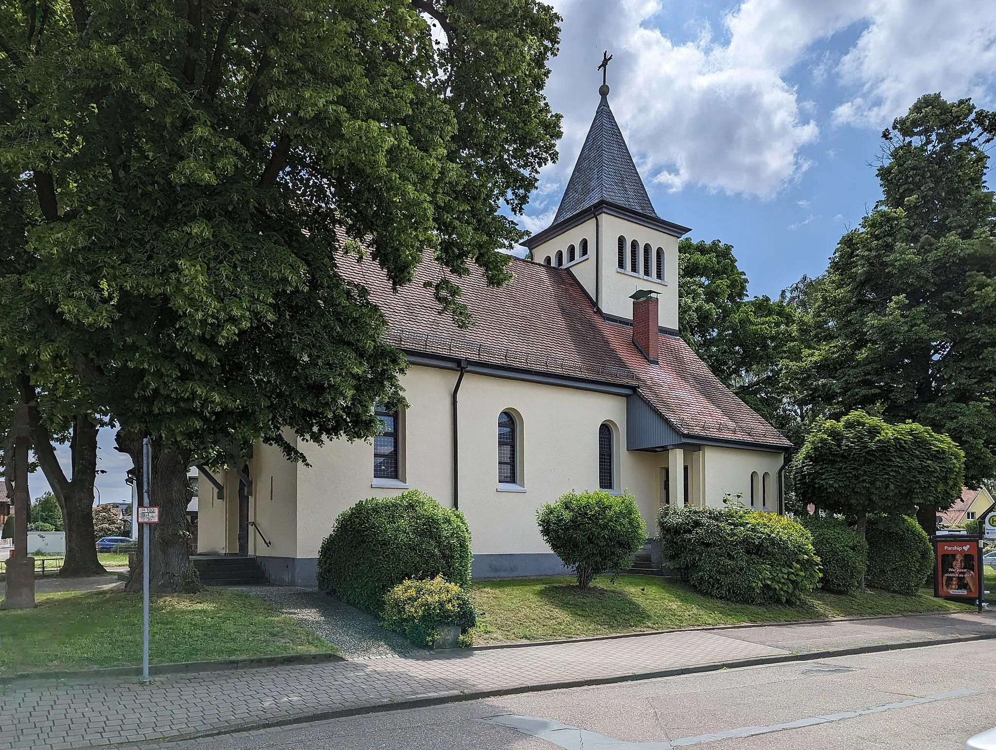
EttlingenTownEttlingen is a charming small town with a well-preserved historic center, fairy-tale-like timber-framed houses, and a beautiful palace garden.
18 km
18 km
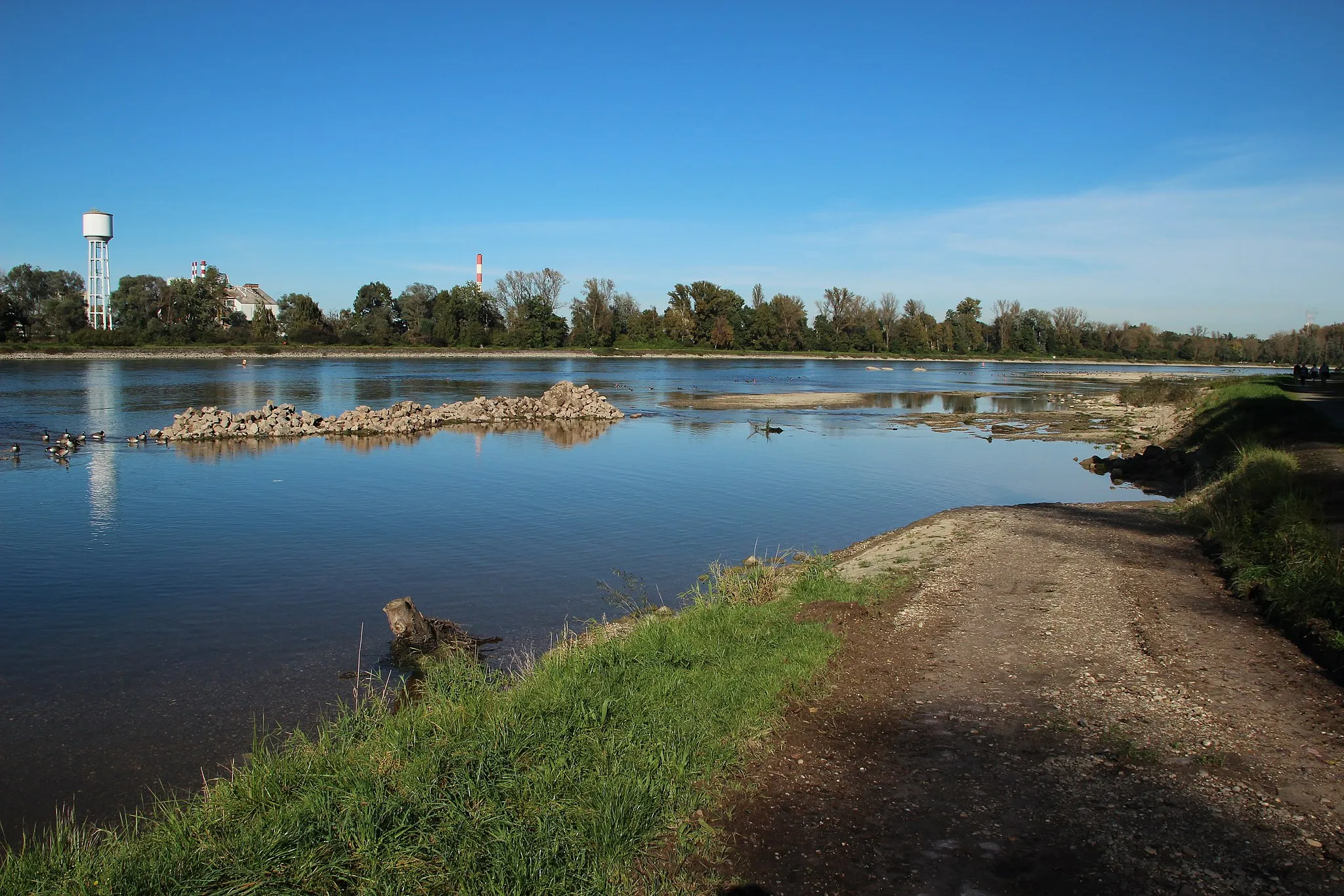
Hellberg320 mPeakHellberg is a scenic point with breathtaking views over the Rhine Valley, surrounded by lush vineyards and picturesque forests.
27 km
27 km
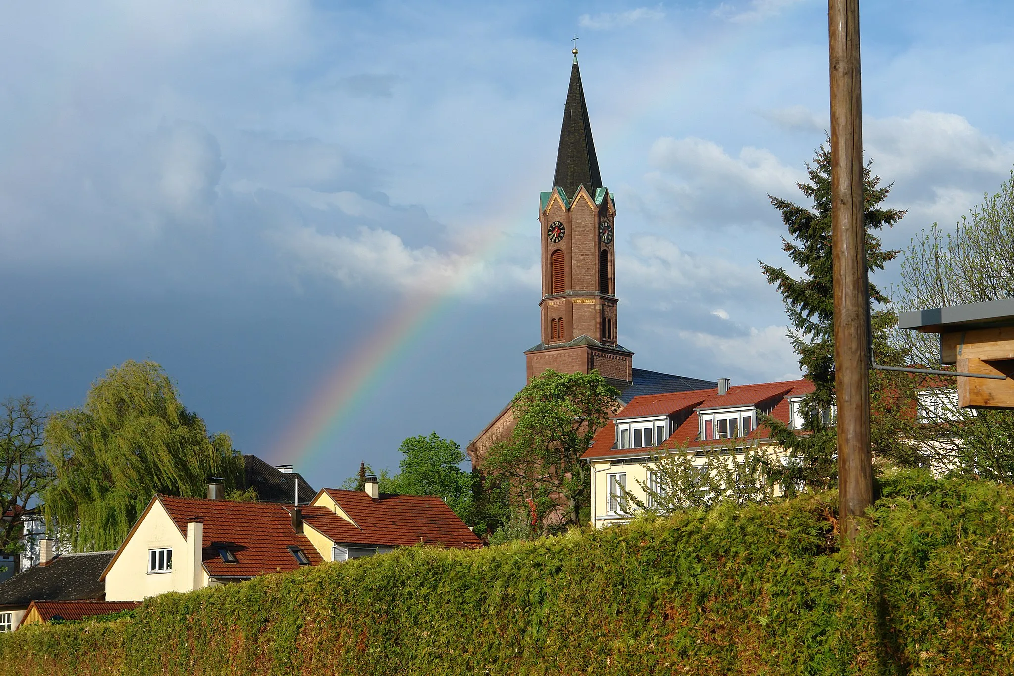
MalschTownMalsch is a charming village located at the gateway to the Black Forest, known for its beautiful half-timbered houses and idyllic atmosphere.
32 km
32 km
Willi-Renkert-WaldhütteShelterWilli-Renkert-Waldhütte is a rustic forest hut nestled in the tranquil woodlands, perfect for a peaceful rest or picnic during your cycling adventure.
36 km
36 km
Finish: Bietigheim Village centerBietigheim: Cycling-friendly town with access to Black Forest routes.
Cycling routes from Bietigheim:
Cycling routes nearby: