Malsch Loop
A road cycling route starting from Bietigheim
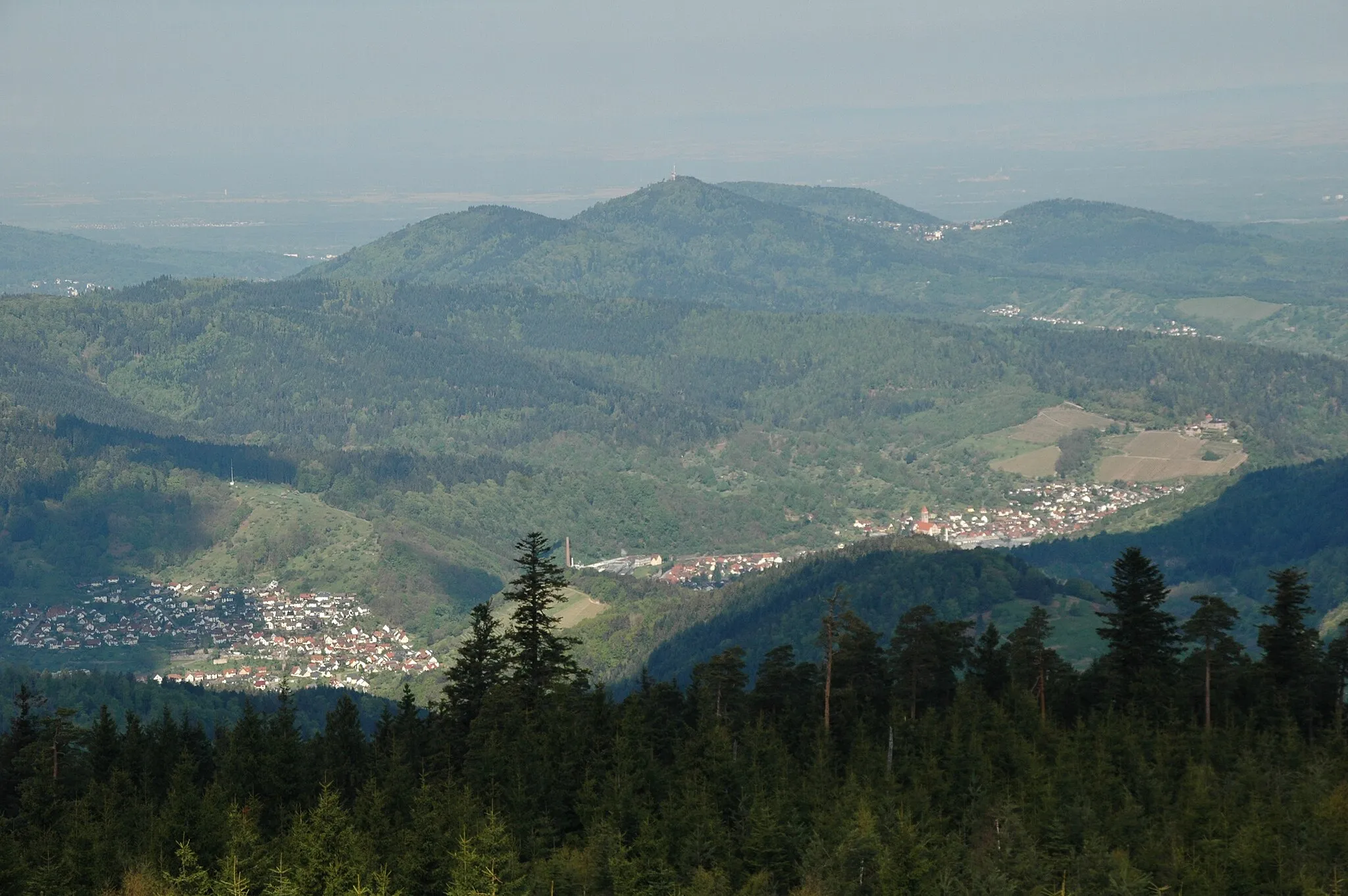
An exhilarating ride through the countryside with stunning views from the Hardtkopf and Hohloh mountains.
Map
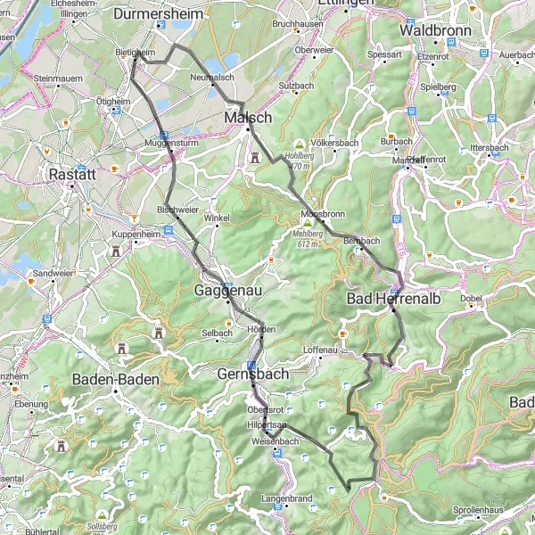
The Malsch Loop is a challenging road cycling route starting near Bietigheim. With a total ascent of 1324 meters and a distance of 73 kilometers, this route offers a thrilling ride through scenic landscapes. The highlights of this route include Malsch, known for its charming architecture, Wulzenkopf, a mountain offering panoramic views, and Bad Herrenalb, a spa town nestled in the Black Forest. The route also passes through Rankhütte, a popular hiking destination, and Gaggenau, a town known for its automotive industry.
road
73 km
1324 m
Tough
Route profile
Highlights on the route
0 km
0 km
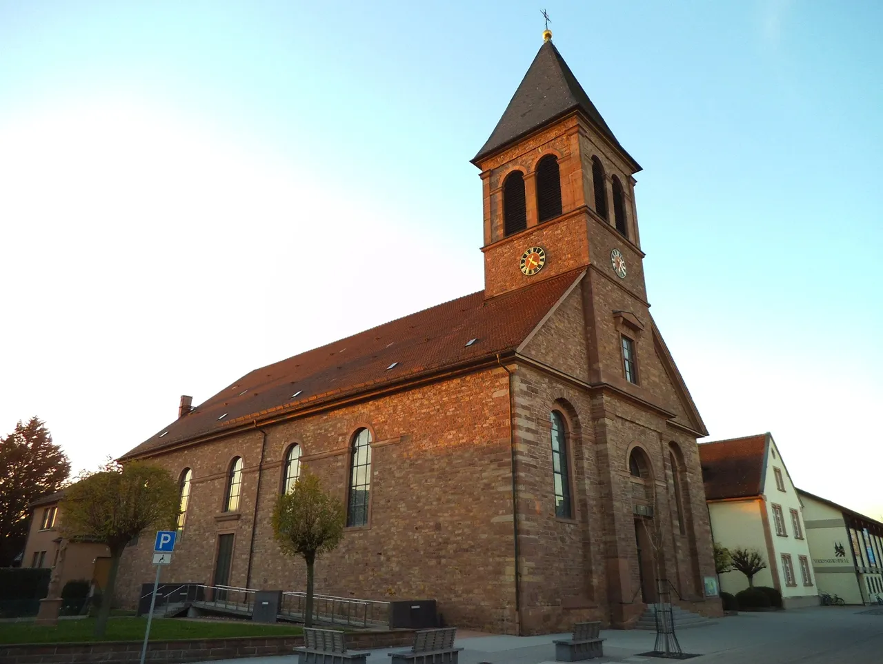
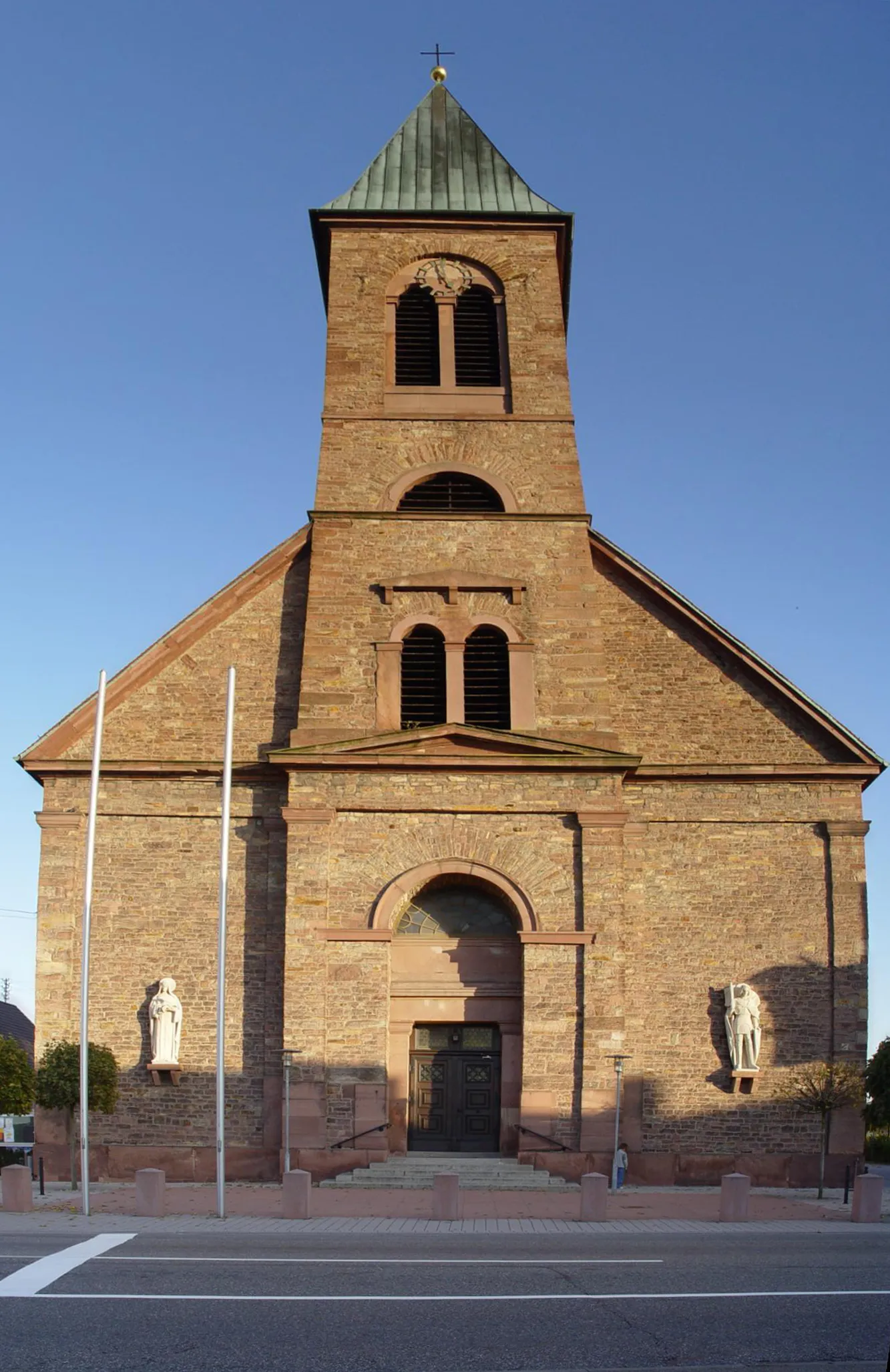
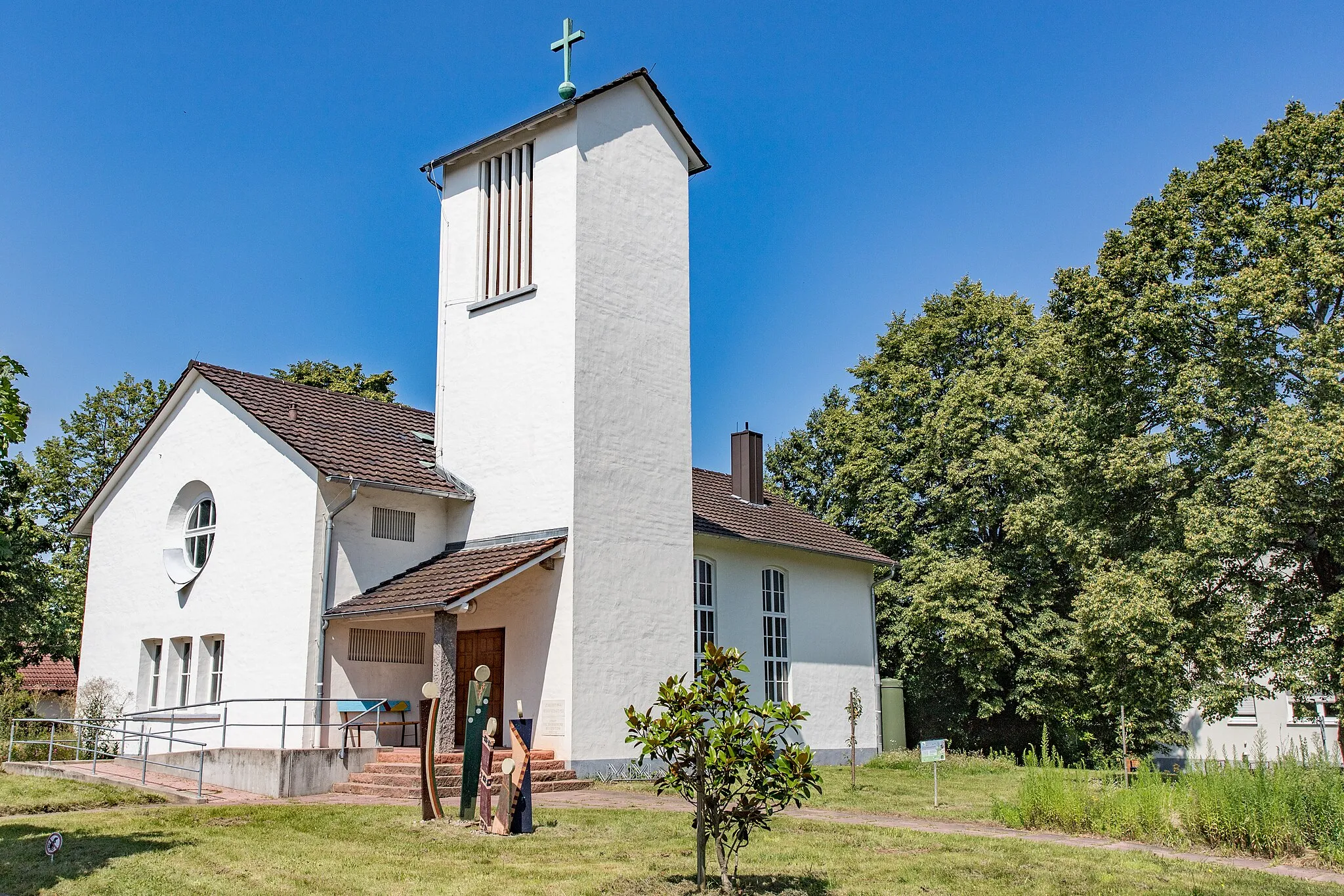
Start: Bietigheim Village centerBietigheim: Cycling-friendly town with access to Black Forest routes.
Bietigheim, located in Karlsruhe, Germany, is a cyclist-friendly town offering a range of road and gravel cycling options. The town is situated near the Black Forest, known for its excellent cycling routes and challenging climbs. Cyclists can explore the picturesque landscapes, ride through dense forests, and challenge themselves on steep ascents. Bietigheim also hosts various local cycling events and has a vibrant cycling community. With its scenic surroundings and cycling-friendly atmosphere, Bietigheim is a great destination for both recreational and competitive cyclists.9 km
9 km
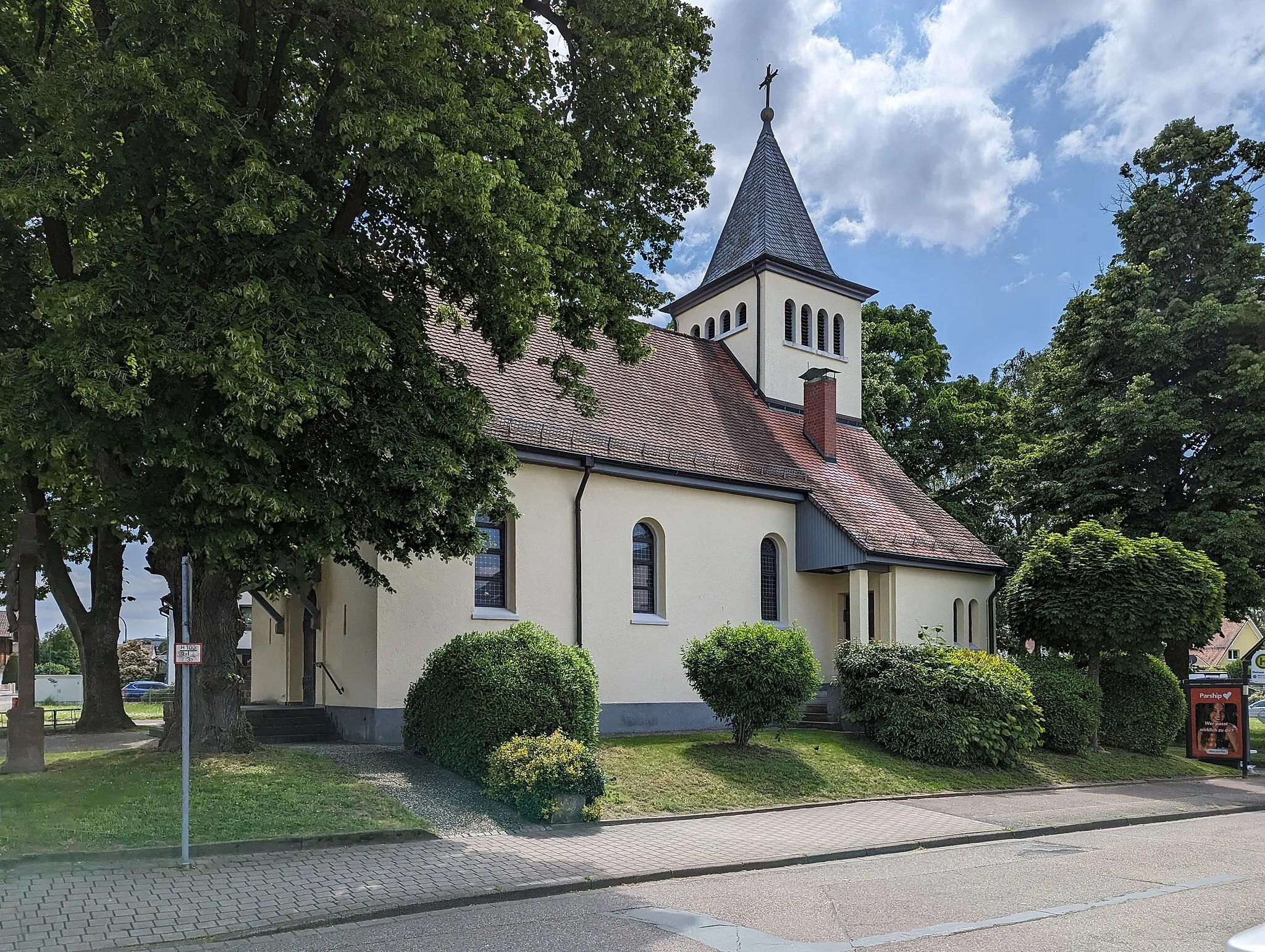
MalschTownMalsch is a picturesque town with well-preserved half-timbered houses and a bustling center. Stop by one of the local cafes for a quick break.
14 km
14 km
Wulzenkopf496 mPeakWulzenkopf offers breathtaking views over the Alb Valley and the nearby vineyards. Take a short detour to the summit to enjoy the scenery.
21 km
21 km
Hardtkopf559 mPeakHardtkopf is a challenging climb with rewarding views at the top. Take a moment to catch your breath and admire the surrounding hills.
24 km
24 km
Bad HerrenalbTownBad Herrenalb is a historic spa town with beautiful gardens and a revitalizing atmosphere. Consider stopping for a relaxing soak in one of the thermal baths.
36 km
36 km
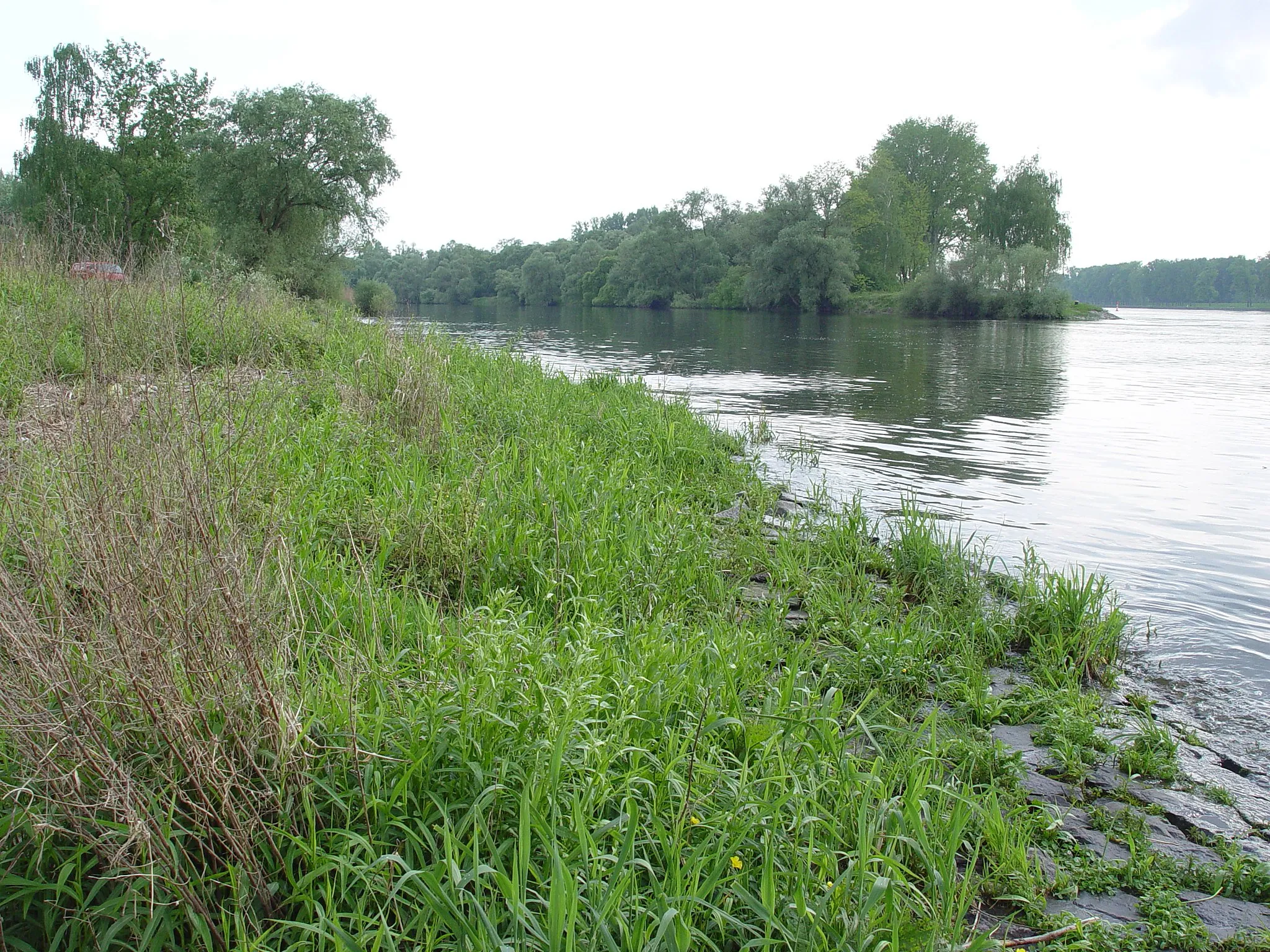
RankhütteShelterRankhütte is a popular hiking destination with serene trails and a cozy mountain hut. Enjoy a snack or refreshments before continuing your cycling journey.
40 km
40 km
Hohloh989 mPeakHohloh is the highest mountain in the northern Black Forest range. The panoramic views from the summit are worth the challenging climb.
48 km
48 km
Rockertfelsen580 mPeak58 km
58 km
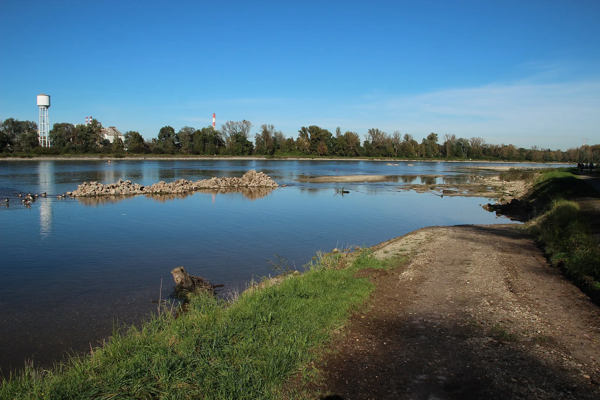
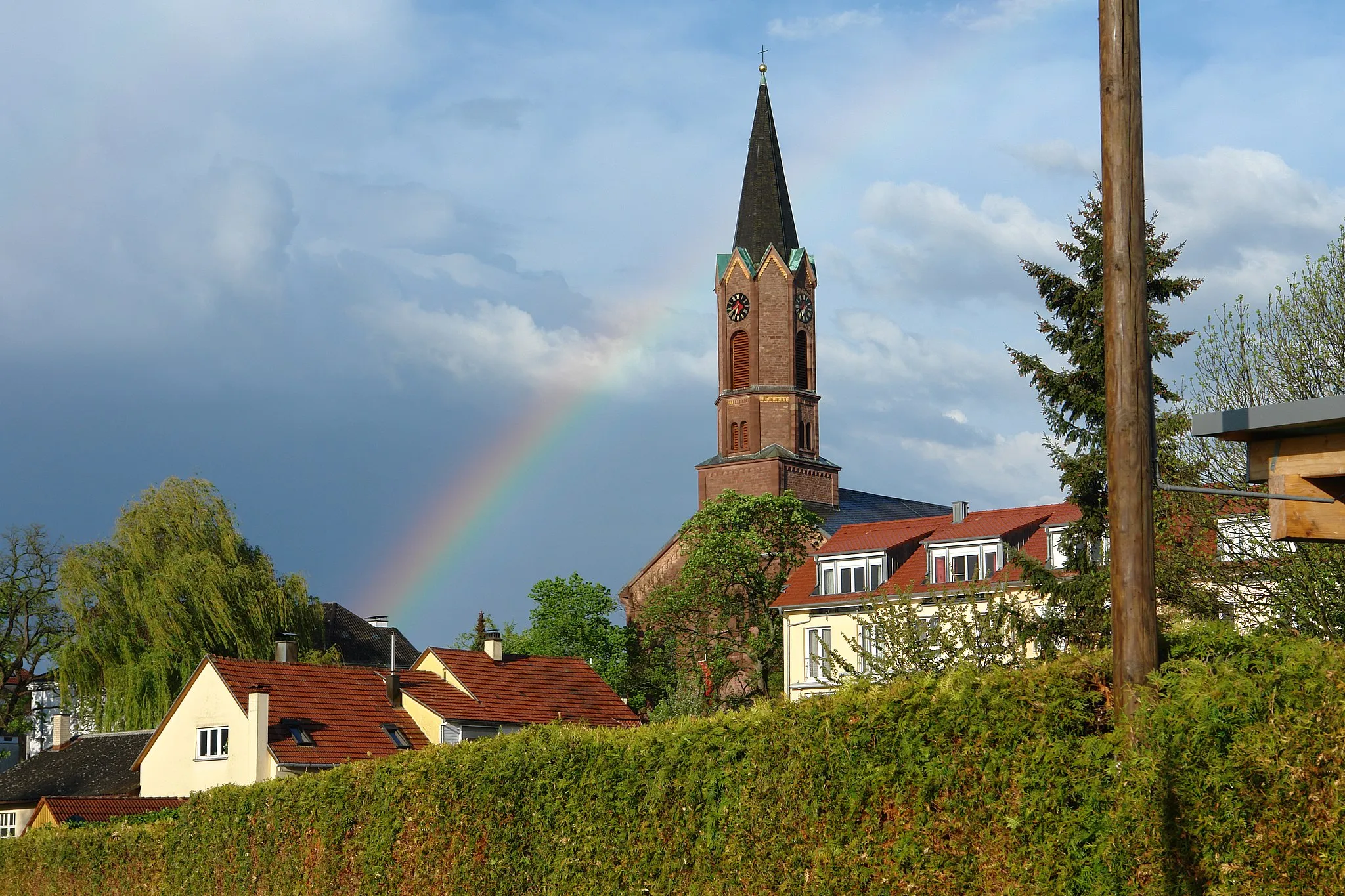
GaggenauTown68 km
68 km
MuggensturmVillageMuggensturm is a small village known for its traditional half-timbered houses. Take a leisurely ride through the charming streets before continuing on your cycling route.
73 km
73 km
Finish: Bietigheim Village centerBietigheim: Cycling-friendly town with access to Black Forest routes.
Cycling routes from Bietigheim:
Cycling routes nearby: