Höpfingen and Grünsfeld
A gravel cycling route starting from Walldurn
Cycle through the beautiful landscapes of Höpfingen and Grünsfeld
Map
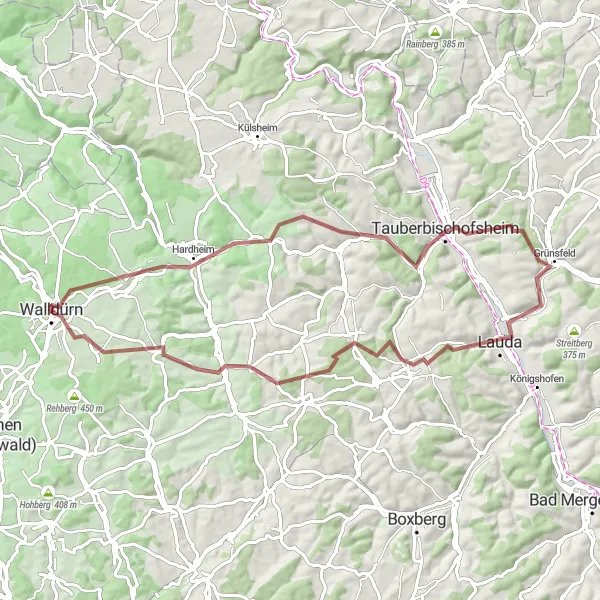
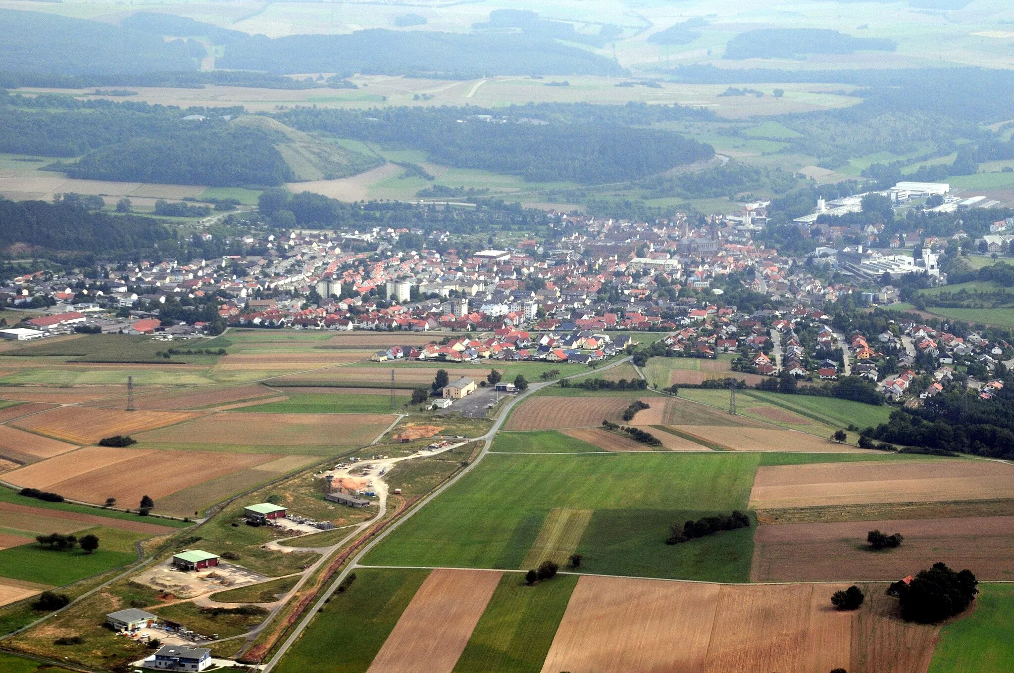
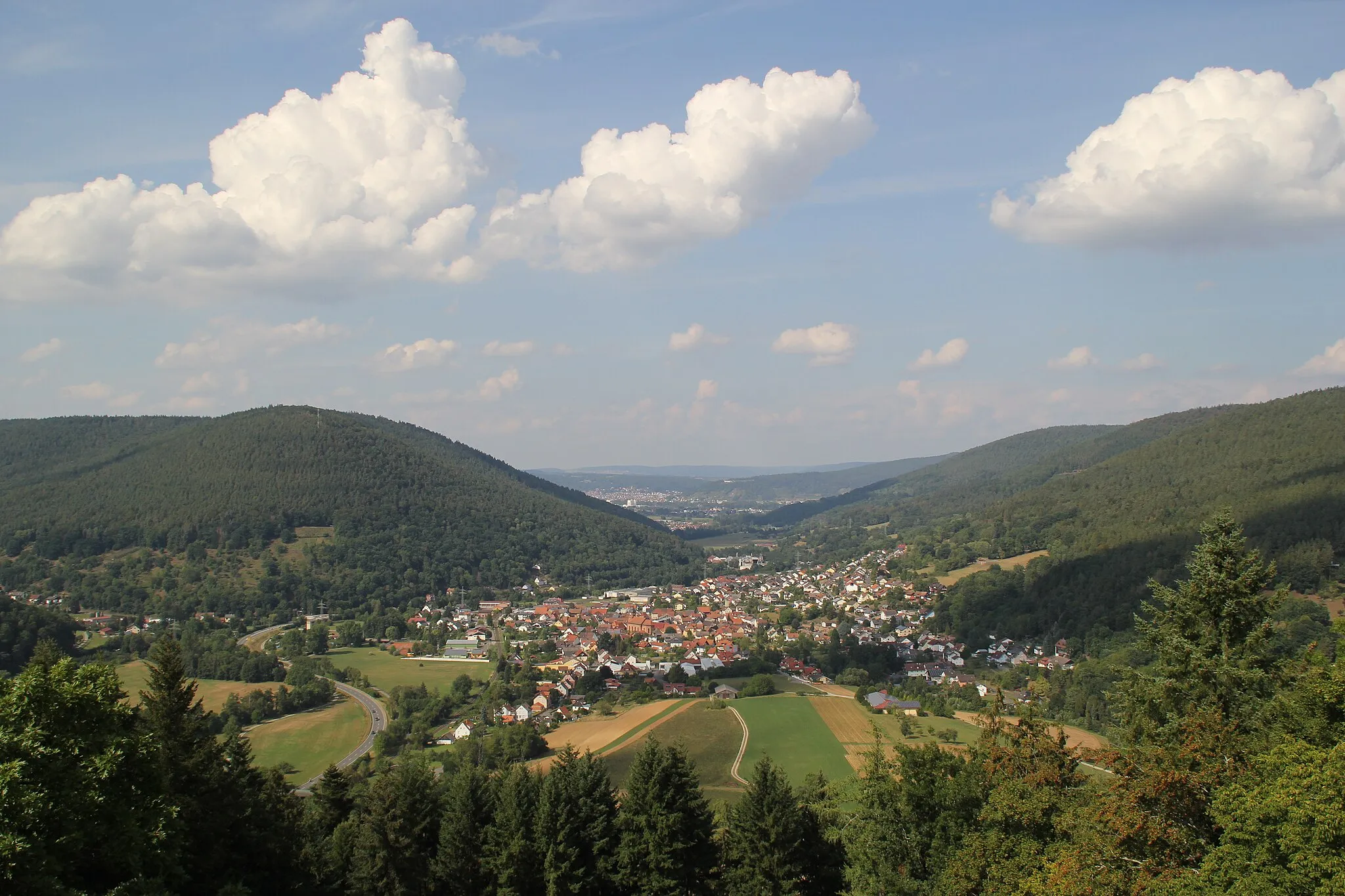
This round-trip cycling route starts near Walldürn and takes you through the picturesque towns of Höpfingen and Grünsfeld. The route spans a distance of 73 km with an elevation gain of 935 meters. The scenery along the way is stunning, with rolling hills and lush greenery. It is a gravel route, perfect for adventure-seeking cyclists.
gravel
73 km
935 m
Tough
Route profile
Highlights on the route
0 km
0 km
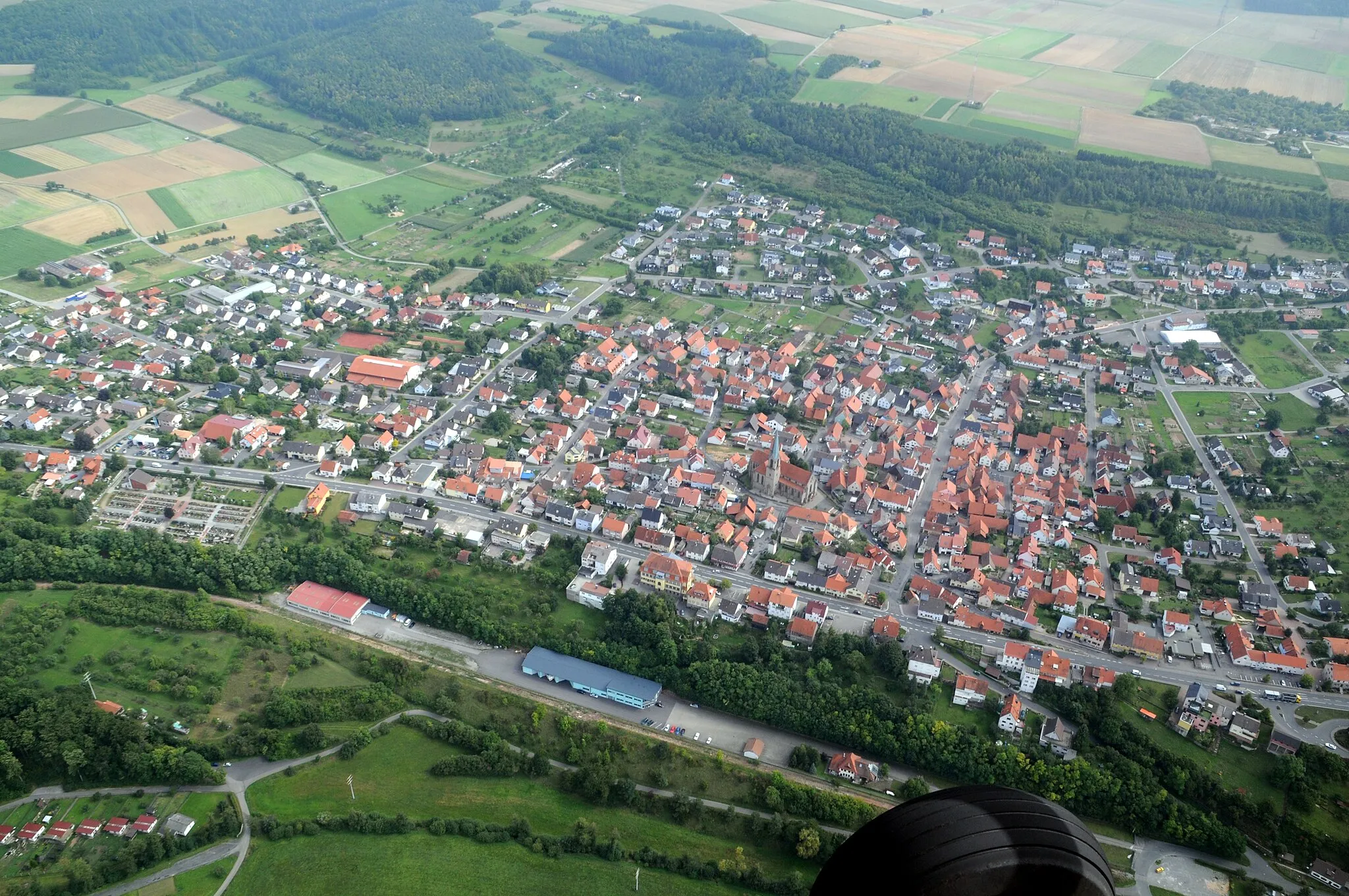
Start: Walldürn City centerWalldürn: Cycling through the serene countryside and charming villages of Walldürn in the Karlsruhe region.
Walldürn is a town located in the Karlsruhe region of Germany. It offers a variety of road and gravel cycling routes that showcase the natural beauty of the area. Cyclists can explore the scenic countryside and charming villages nearby, enjoying the peaceful atmosphere of the region. Although Walldürn may not have any famous cycling-related spots or well-known climbs, its diverse cycling routes and cyclist-friendly infrastructure make it a pleasant destination for cyclists of all levels.6 km
6 km
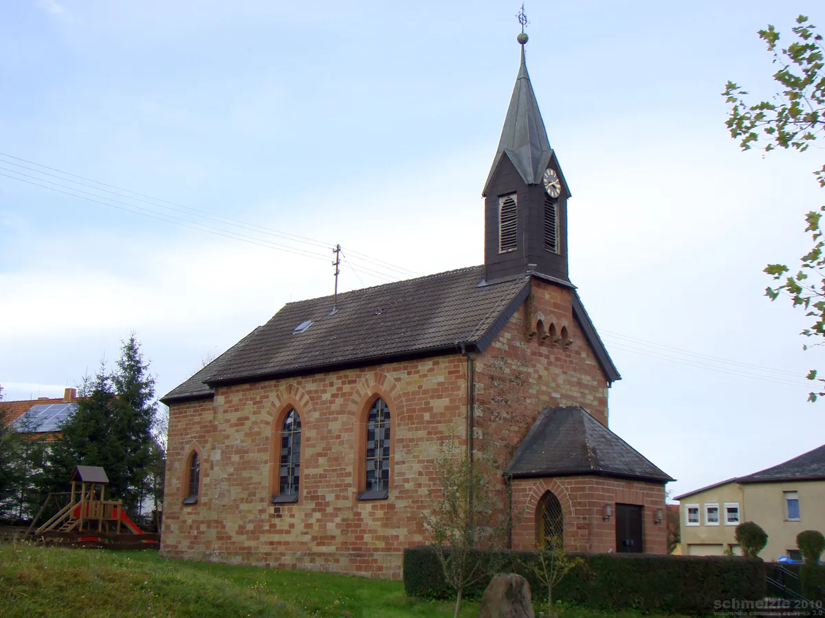
HöpfingenVillageVisit the charming town of Höpfingen with its historic buildings and quaint atmosphere.
8 km
8 km
Geisberg385 mPeakExplore the Geisberg, a notable hill with stunning panoramic views of the surrounding areas.
20 km
20 km
KönigheimVillagePass through Königheim, a picturesque village famous for its idyllic setting.
26 km
26 km
Höhberg308 mPeakCycle up the Höhberg and enjoy breathtaking views of the countryside.
35 km
35 km
GrünsfeldVillageMake a stop in Grünsfeld, known for its well-preserved architecture and beautiful gardens.
43 km
43 km
OberlaudaVillageVisit Oberlauda, a charming village with historic buildings and a peaceful atmosphere.
59 km
59 km
Gützberg383 mPeakPass by Gützberg, a small rural settlement known for its charming houses and beautiful landscapes.
67 km
67 km
Walldürner Höhe438 mPeakExperience an adrenaline rush cycling through the challenging Walldürner Höhe.
70 km
70 km
Biotop SchmittshöheAttractionDiscover the Biotop Schmittshöhe, a nature reserve with diverse wildlife and beautiful flora.
73 km
73 km
Finish: Walldürn City centerWalldürn: Cycling through the serene countryside and charming villages of Walldürn in the Karlsruhe region.
Cycling routes from Walldurn:
The Gravel Adventure Umpfenbach and Vorderer Meßhof Gravel Adventure Bürgstadt and Collenberg Road Cycling Steinbach and Hardheim Gravel Adventure The Odenwald Challenge The Enchanting Hohenlohe The Scenic Loop The Majestic Mudau Biotop Schmittshöhe and Mittelschefflenz Gravel Route Höpfingen and Grünsfeld Walldürn Gravel Challenge
Cycling routes nearby: