Kettig-Plaidt-Plaidter Hümmerich-Krahnenberg-Andernach-Weißer Thurm
A gravel cycling route starting from Kettig
An exhilarating gravel ride through Plaidt and Andernach, with highlights including Plaidter Hümmerich, Krahnenberg, and Weißer Thurm.
Map
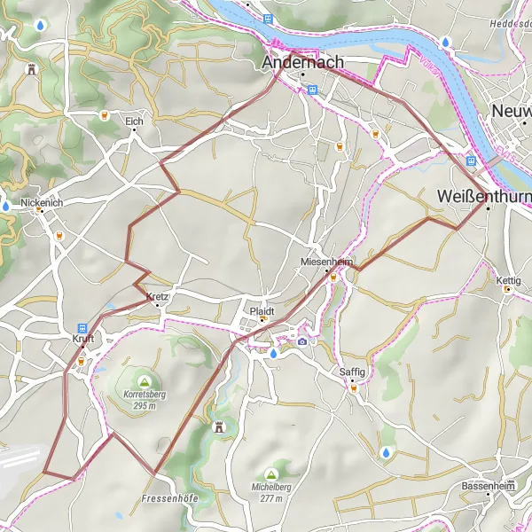
This stunning gravel route showcases the beauty of Plaidt and Andernach, with highlights including the magnificent Plaidter Hümmerich and the ancient Krahnenberg. Enjoy the scenic landscapes along the way, and don't miss the panoramic views from Weißer Thurm. With a moderate difficulty level, this route is perfect for experienced amateur riders looking for a thrilling adventure.
gravel
31 km
259 m
Tough
Route profile
Highlights on the route
0 km
0 km
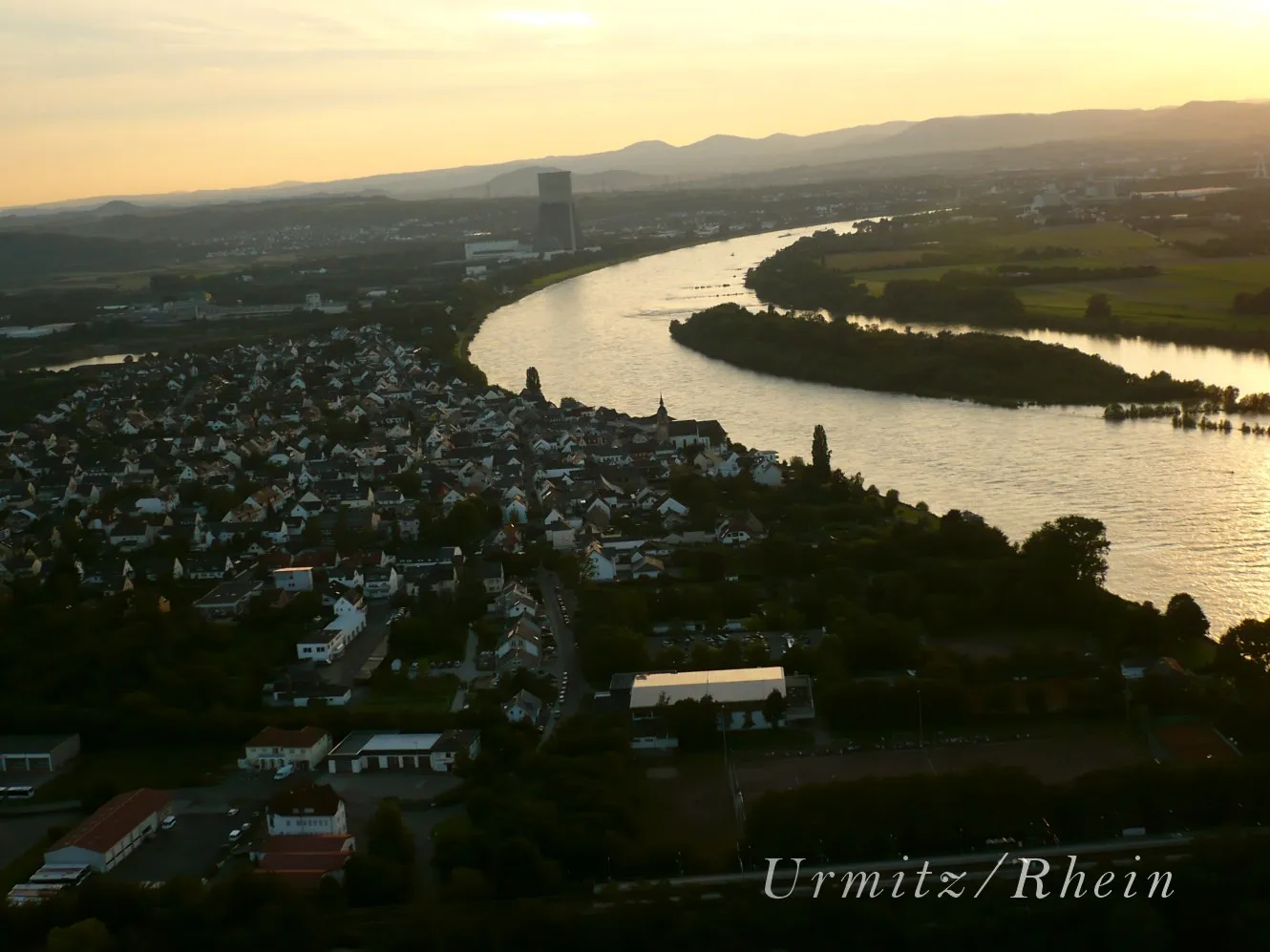
Start: Weißenthurm City centerKettig: Tranquil cycling along the Rhine
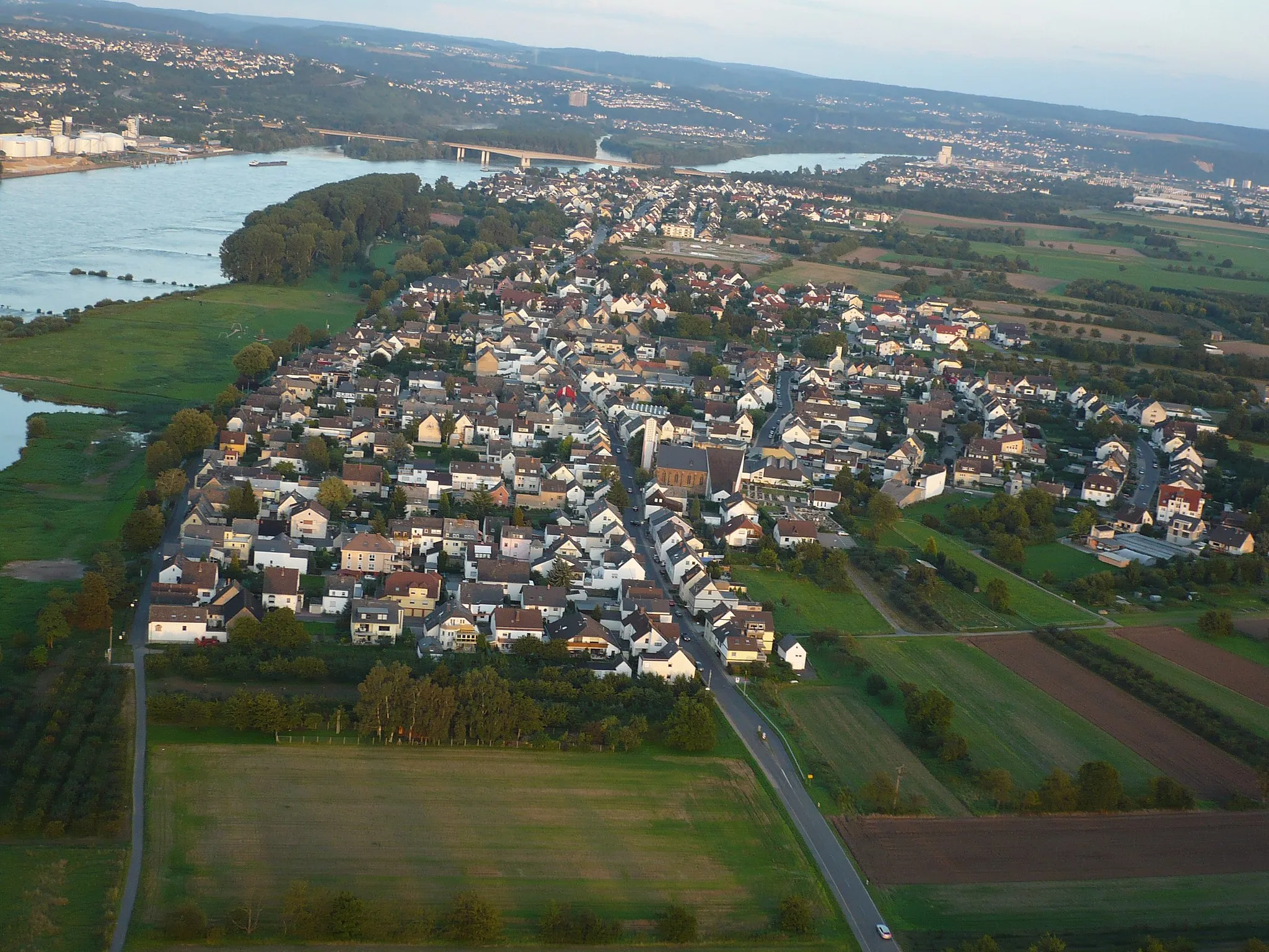
Kettig, situated in Koblenz, Germany, may not be a well-known cycling destination, but it still offers enjoyable cycling opportunities. The locality features peaceful country roads and access to the beautiful Rhine River. Cyclists can explore the scenic routes along the river or venture into the nearby rolling hills. With a rank of 2, Kettig is a decent option for cyclists looking for a quieter ride.6 km
6 km
PlaidtVillagePlaidt is a charming town with a rich history, known for its impressive medieval architecture and beautiful town square.
7 km
7 km
Plaidter Hümmerich259 mPeakPlaidter Hümmerich is a hilltop that offers panoramic views of the surrounding countryside and the town of Plaidt.
25 km
25 km
KrahnenbergViewpointKrahnenberg is an ancient hill that holds the ruins of a medieval castle, offering a glimpse into the region's history.
26 km
26 km
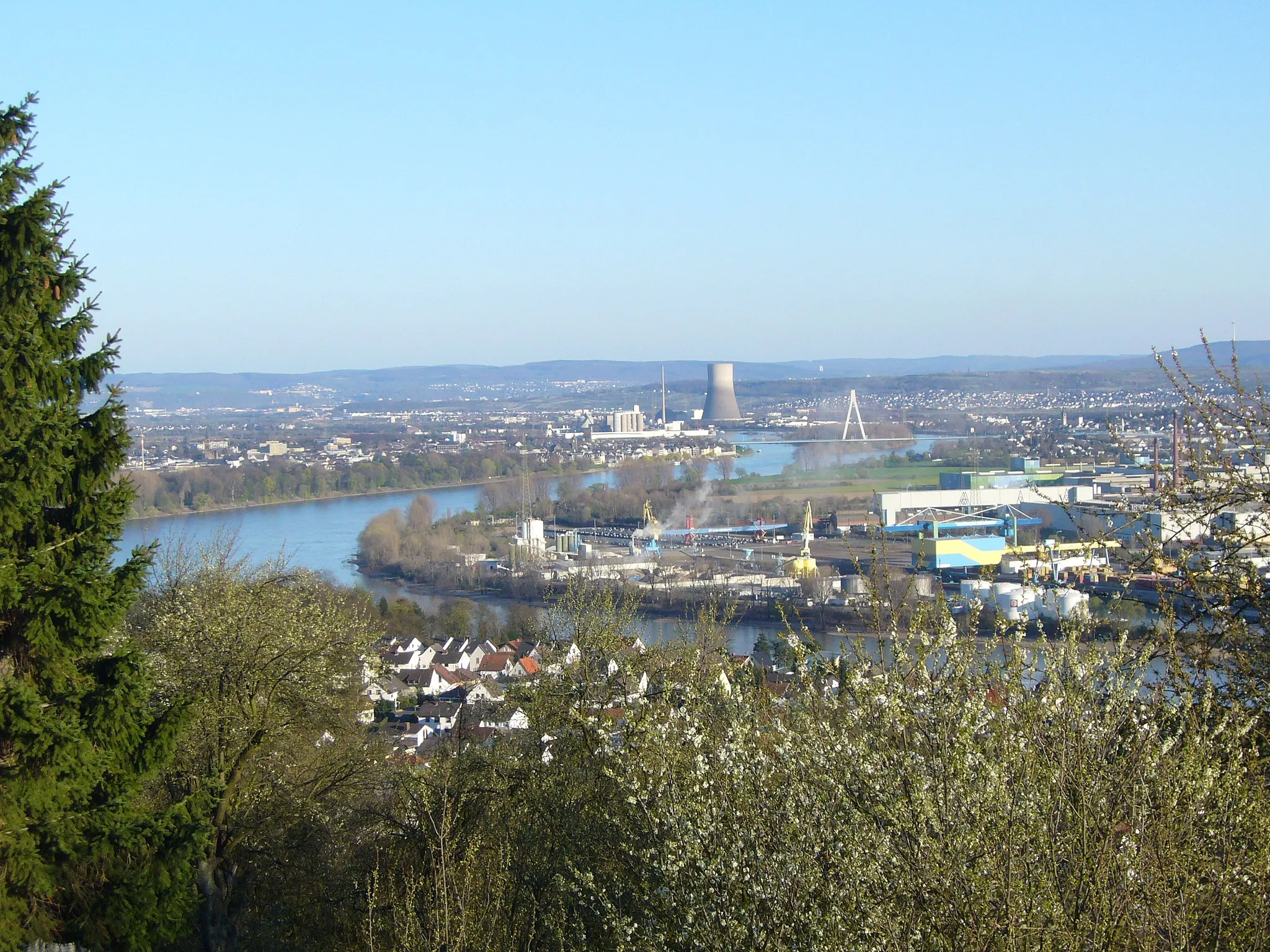
AndernachTownAndernach is a picturesque town located on the banks of the Rhine River, known for its well-preserved medieval city walls and historic buildings.
31 km
31 km
Weißer ThurmAttractionWeißer Thurm is a medieval tower that offers stunning views of Andernach and the surrounding countryside.
31 km
31 km
Finish: Weißenthurm City centerKettig: Tranquil cycling along the Rhine
Cycling routes from Kettig:
Neuwied and Montabaur Loop Kettig-Neuwied-Lückenberg-Niederbreitbach-Clausberg-Linkenbach-Thilenberg-Dernbacher Kopf-Harmorgenberg-Urmitz Quirnbach Excursion Scenic Gravel Adventure Kettig-Bassenheim-Karmelenberg-Müden (Mosel)-Krabauns Kopf-Brauselay-Klotten-Düngenheim-Ramel-Berg-Kottenheim-Weißenthurm Kettig-Weißenthurm-Roßbach-Scharenberg-Grenzbachtal-Ruine Braunsburg-Köppel-Neuwied Kettig-Plaidt-Plaidter Hümmerich-Krahnenberg-Andernach-Weißer Thurm River Rhine Circuit Kettig-Weißenthurm-Almblick-Jähnen-Oberlahr-Urbach-Kleinmaischeid-Brandenberg-Urmitz Bärenkopf Loop
Cycling routes nearby: