Quirnbach Excursion
A road cycling route starting from Kettig
Cycle through picturesque landscapes and visit historical landmarks on this challenging road route
Map
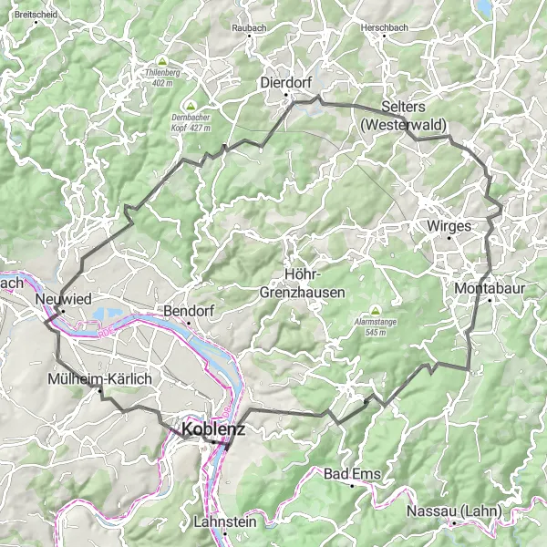
This 93 km road route starting in Kettig takes you on a challenging journey through hilly terrain and beautiful scenery. From Köppel to Deutsches Eck, this route offers a variety of landscapes and iconic landmarks. With a total ascent of 1386 meters, this route is suitable for well-trained amateurs. The route showcases the beauty of the region and includes highlights such as Anhausen and Eitelborn. Due to its challenging nature and scenic landscapes, the epicness of this route is rated 4 out of 5.
road
93 km
1386 m
Tough
Route profile
Highlights on the route
0 km
0 km
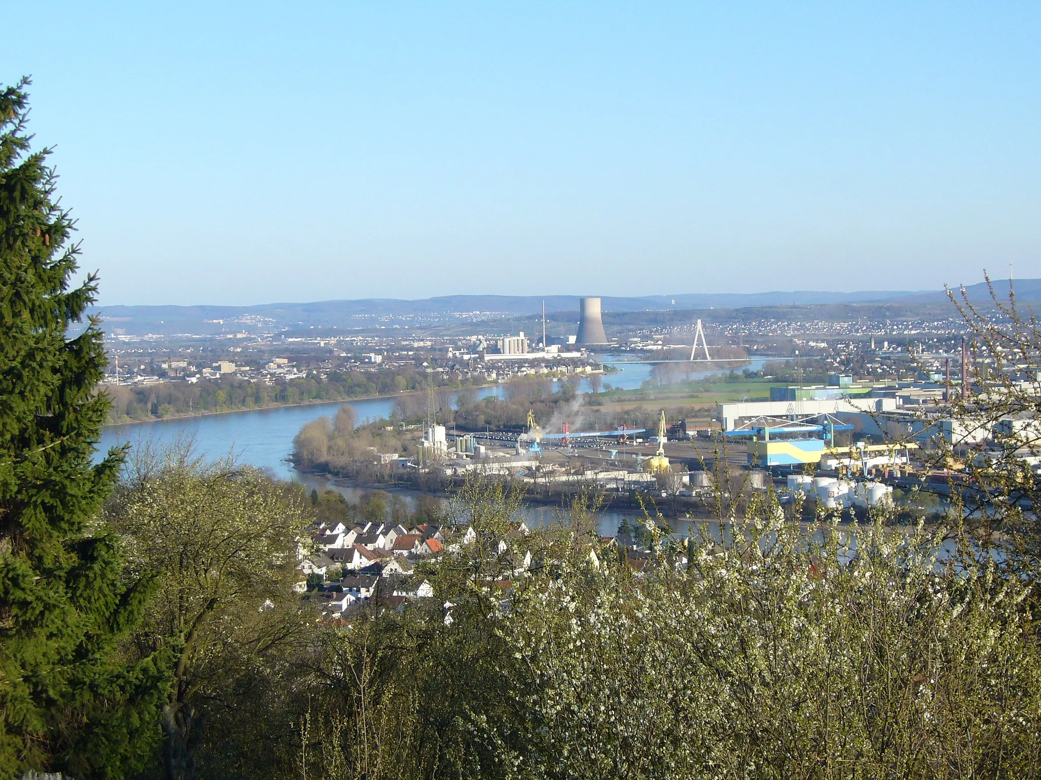
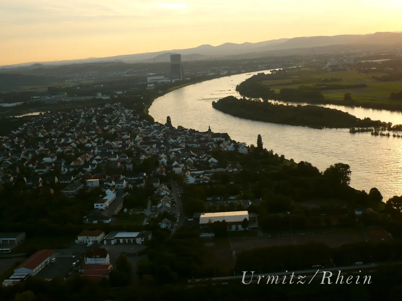
Start: Weißenthurm City centerKettig: Tranquil cycling along the Rhine
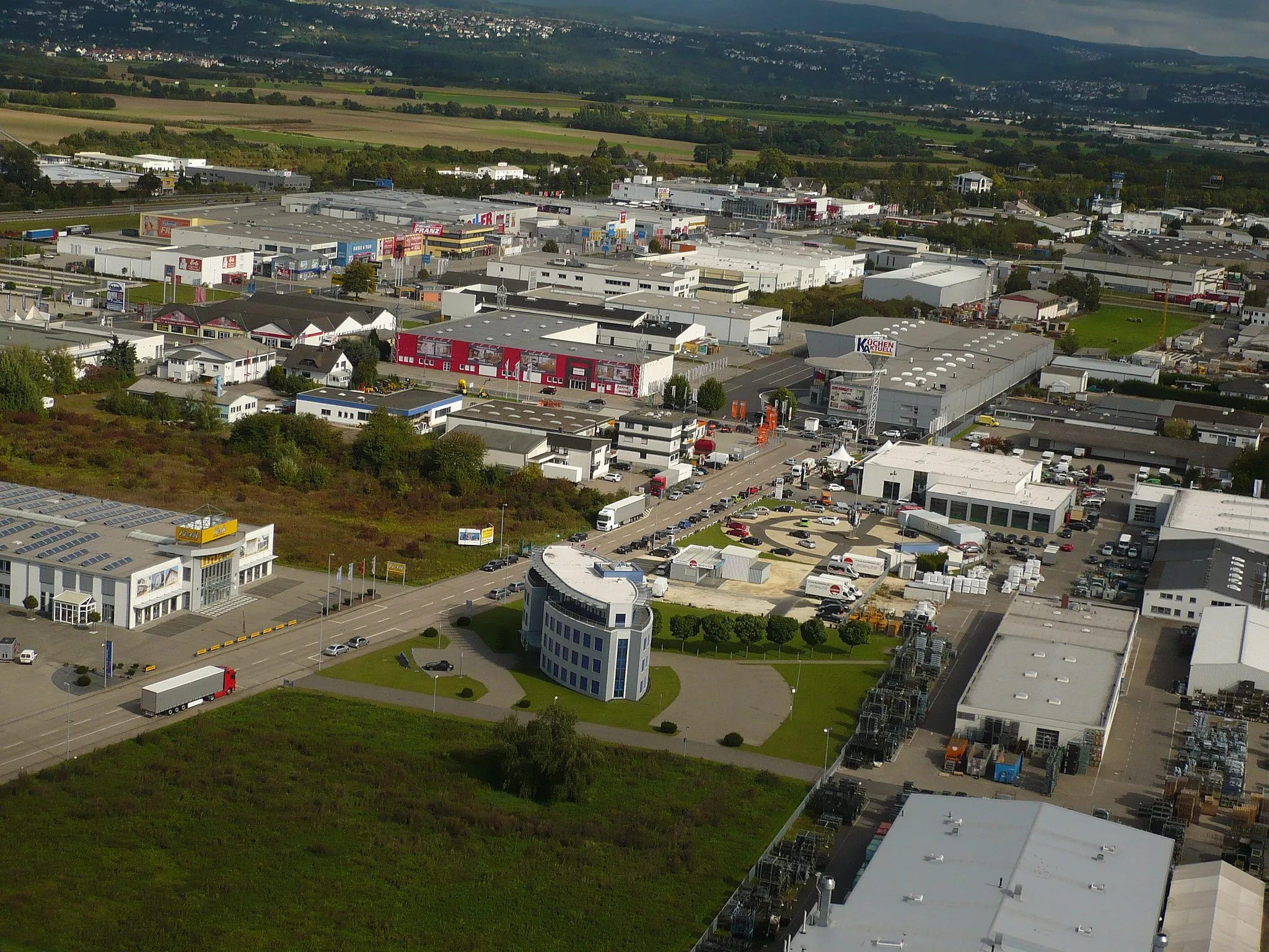
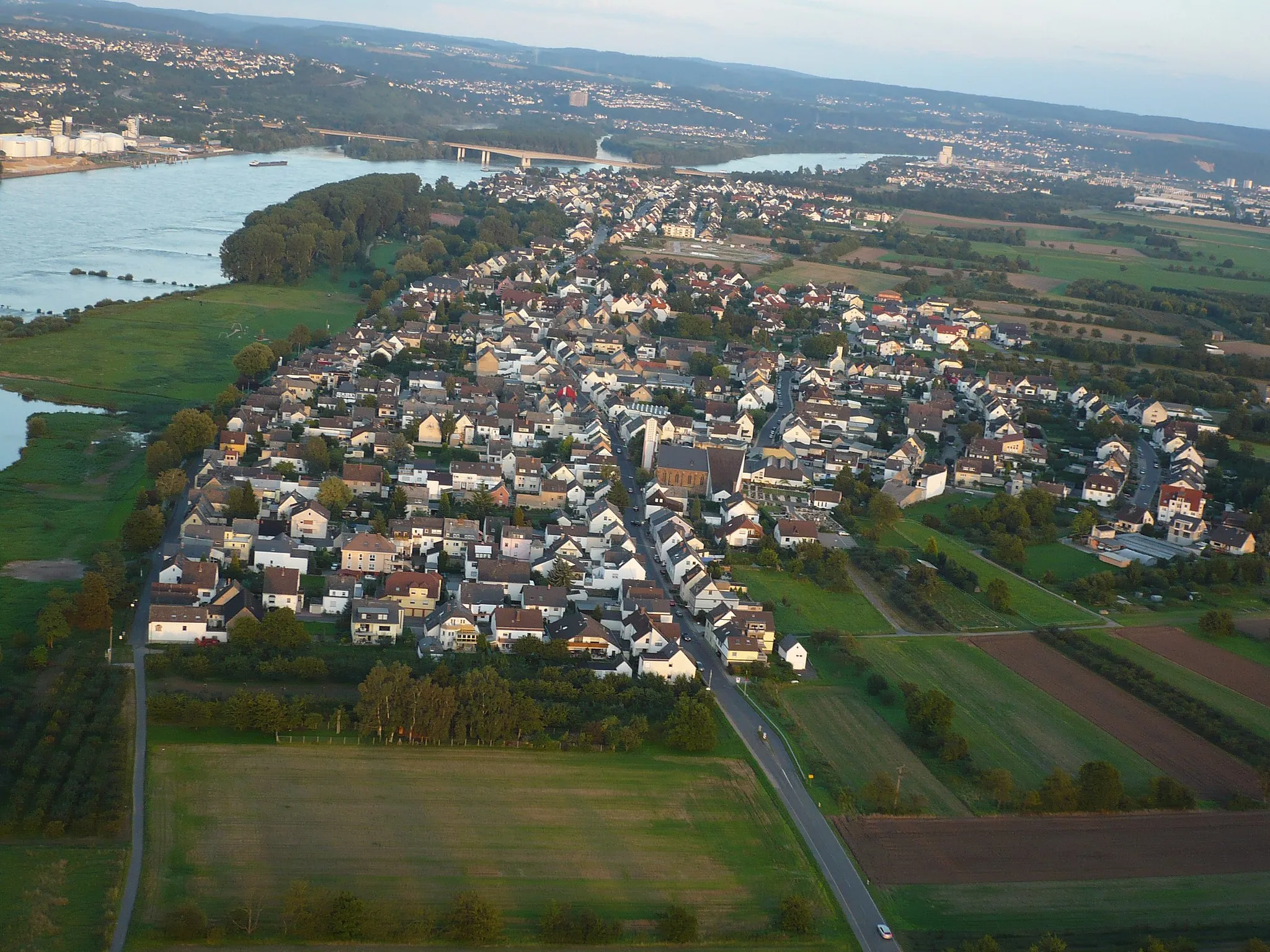
Kettig, situated in Koblenz, Germany, may not be a well-known cycling destination, but it still offers enjoyable cycling opportunities. The locality features peaceful country roads and access to the beautiful Rhine River. Cyclists can explore the scenic routes along the river or venture into the nearby rolling hills. With a rank of 2, Kettig is a decent option for cyclists looking for a quieter ride.11 km
11 km
Köppel182 mPeakClimb Köppel, a challenging hill known for its steep gradients and rewarding panoramic views.
14 km
14 km
AnhausenVillageVisit the picturesque village of Anhausen and explore its charming streets and historic architecture.
37 km
37 km
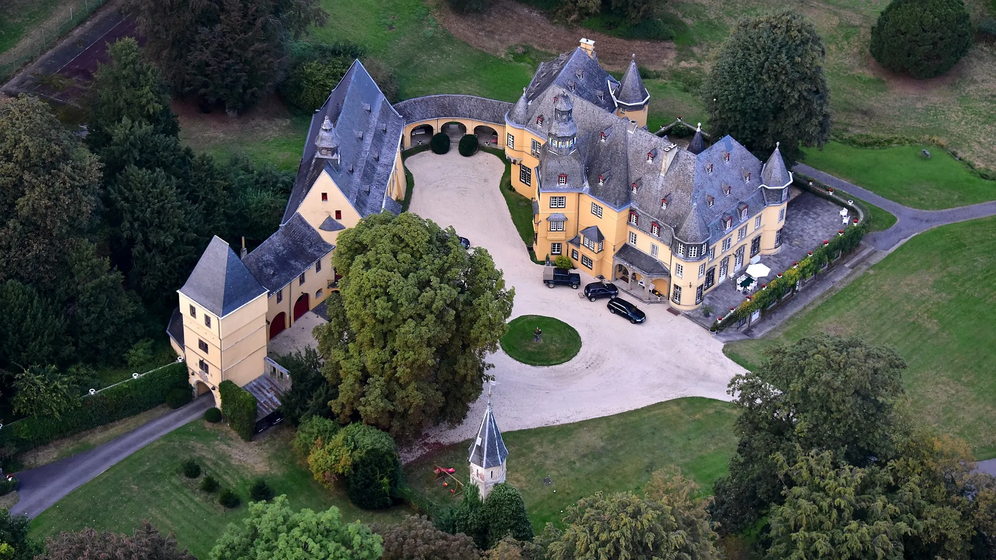
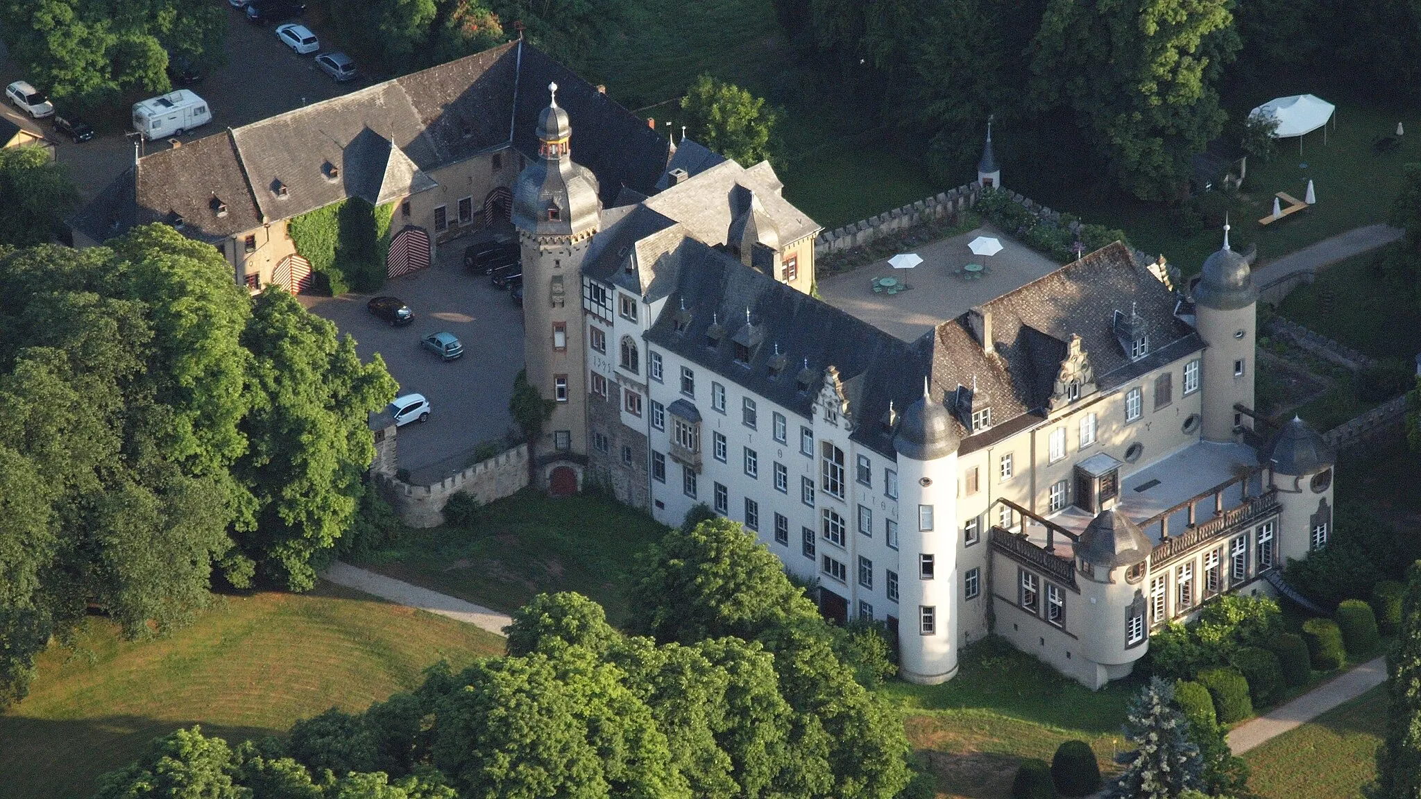
QuirnbachVillageDiscover Quirnbach, a small town known for its impressive castle ruins and romantic atmosphere.
45 km
45 km
BannberscheidVillageExplore Bannberscheid, a hilltop village offering stunning views of the surrounding countryside.
54 km
54 km
Hähnchen353 mPeakPass through Hähnchen, a quaint town with traditional half-timbered houses and a charming atmosphere.
64 km
64 km
EitelbornVillageVisit Eitelborn, a village known for its beautiful church and serene countryside surroundings.
74 km
74 km
Deutsches EckViewpointFinish your journey at Deutsches Eck, a famous landmark where the Moselle and Rhine rivers meet in Koblenz.
90 km
90 km
KettigVillageStart and finish your tour in Kettig, a delightful village with a rich history and beautiful surroundings.
93 km
93 km
Finish: Weißenthurm City centerKettig: Tranquil cycling along the Rhine
Cycling routes from Kettig:
Neuwied and Montabaur Loop Kettig-Neuwied-Lückenberg-Niederbreitbach-Clausberg-Linkenbach-Thilenberg-Dernbacher Kopf-Harmorgenberg-Urmitz Quirnbach Excursion Scenic Gravel Adventure Kettig-Bassenheim-Karmelenberg-Müden (Mosel)-Krabauns Kopf-Brauselay-Klotten-Düngenheim-Ramel-Berg-Kottenheim-Weißenthurm Kettig-Weißenthurm-Roßbach-Scharenberg-Grenzbachtal-Ruine Braunsburg-Köppel-Neuwied Kettig-Plaidt-Plaidter Hümmerich-Krahnenberg-Andernach-Weißer Thurm River Rhine Circuit Kettig-Weißenthurm-Almblick-Jähnen-Oberlahr-Urbach-Kleinmaischeid-Brandenberg-Urmitz Bärenkopf Loop
Cycling routes nearby: