Westerwald Gravel Loop
A gravel cycling route starting from Ransbach-Baumbach
Explore the picturesque Westerwald region on this scenic gravel loop near Ransbach-Baumbach.
Map

This 51 km gravel loop takes you through the stunning landscapes of the Westerwald region near Ransbach-Baumbach. With a total ascent of 826 meters, the route offers a challenging and rewarding ride for gravel enthusiasts. Highlights include the Hölzenberg with its panoramic views, the idyllic Giershofen with its charming village atmosphere, and the historic town of Selters (Westerwald). The route is moderately difficult and ideal for experienced amateurs. It has an epicness score of 3.
gravel
51 km
826 m
Tough
Route profile
Highlights on the route
0 km
0 km
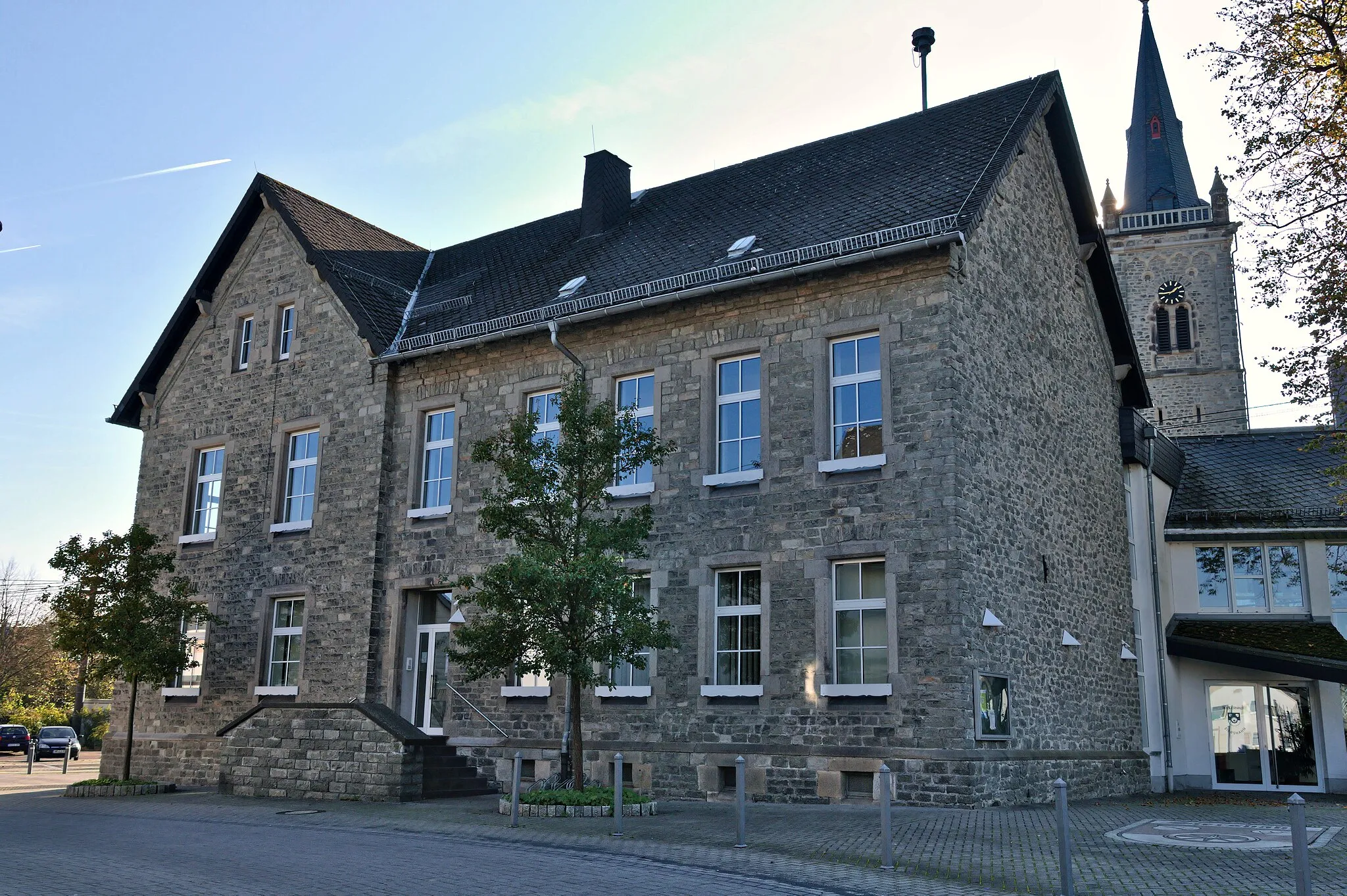
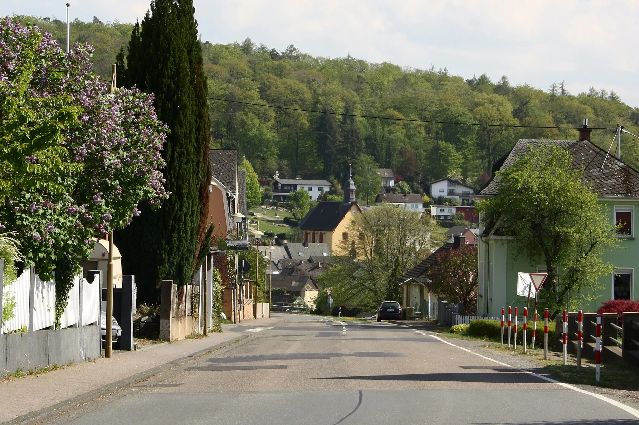
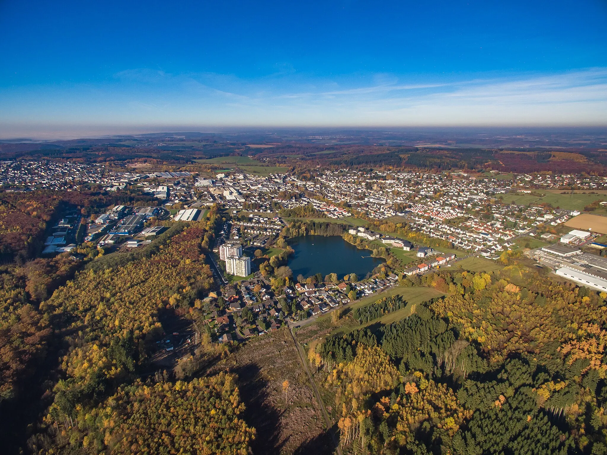
Start: Ransbach-Baumbach City centerRansbach-Baumbach: Cycling in Ransbach-Baumbach: Picturesque roads and village charm.
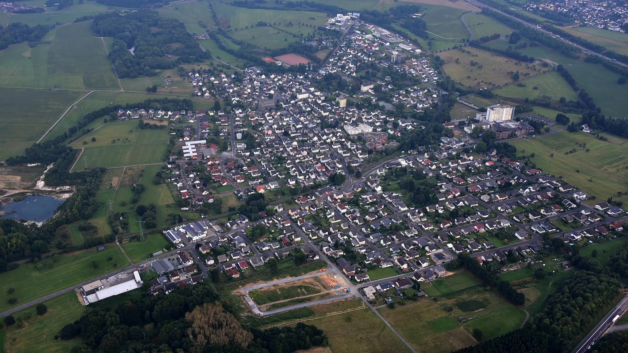
Ransbach-Baumbach is a locality in Germany, specifically in the region of Koblenz. From a cyclist's perspective, it provides a variety of road and gravel cycling routes. The roads in Ransbach-Baumbach are well-paved and offer scenic views of the surrounding countryside. The area is not particularly known for famous cycling spots or well-known climbs, but it provides a pleasant cycling experience. Cyclists can explore the nearby towns and villages, visit historical sites, and enjoy the local cuisine. Overall, Ransbach-Baumbach is a suitable destination for both road and gravel cyclists, with a rank of 3.0 km
0 km
Ransbach-BaumbachTownRansbach-Baumbach serves as the starting point for this scenic gravel loop, located in the picturesque Westerwald region.
1 km
1 km
Hölzenberg391 mPeakThe Hölzenberg offers breathtaking panoramic views of the Westerwald countryside.
13 km
13 km
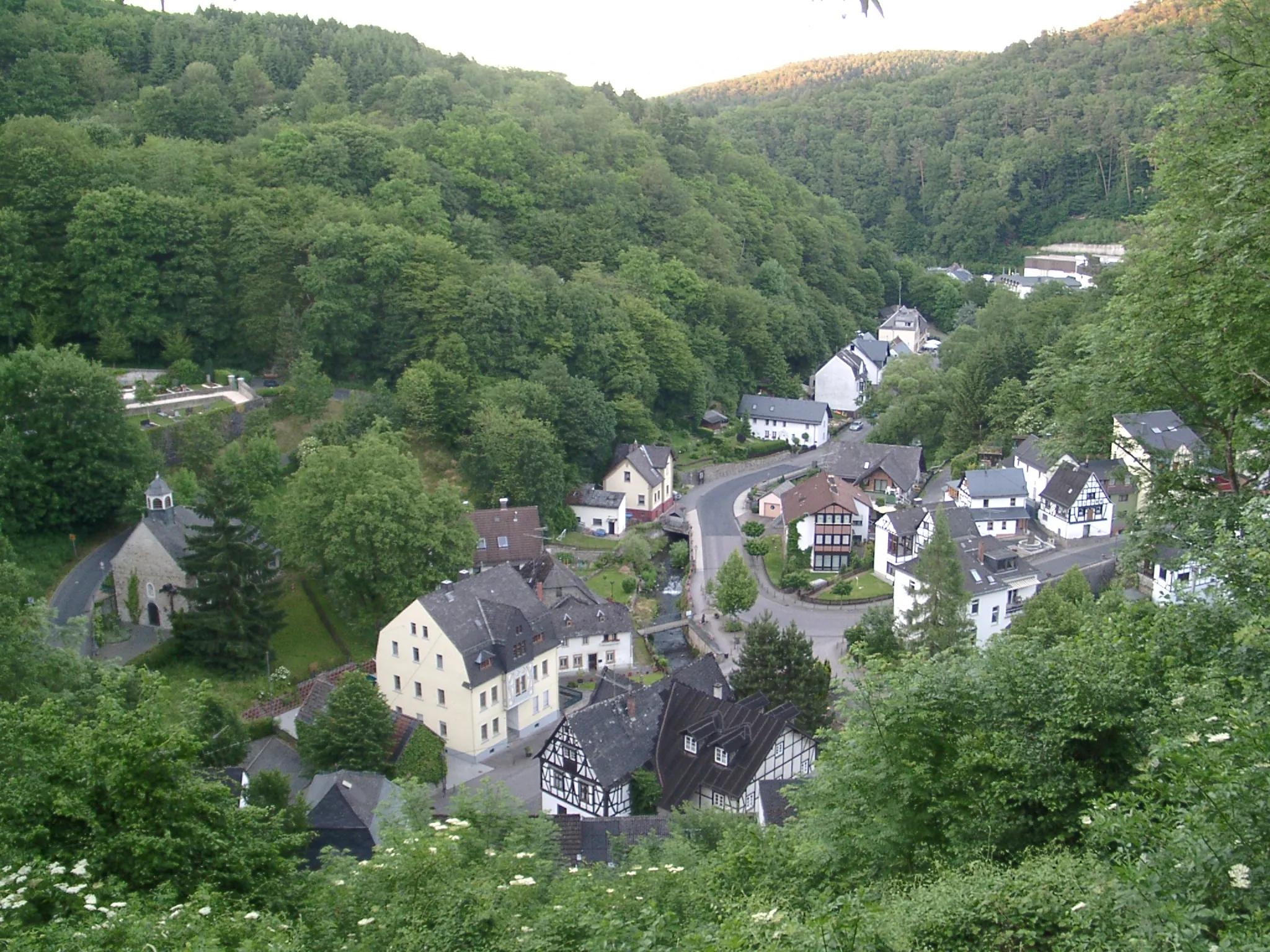
GiershofenSub-urbGiershofen is a hidden gem along the route, known for its peaceful atmosphere and stunning rural landscapes.
20 km
20 km
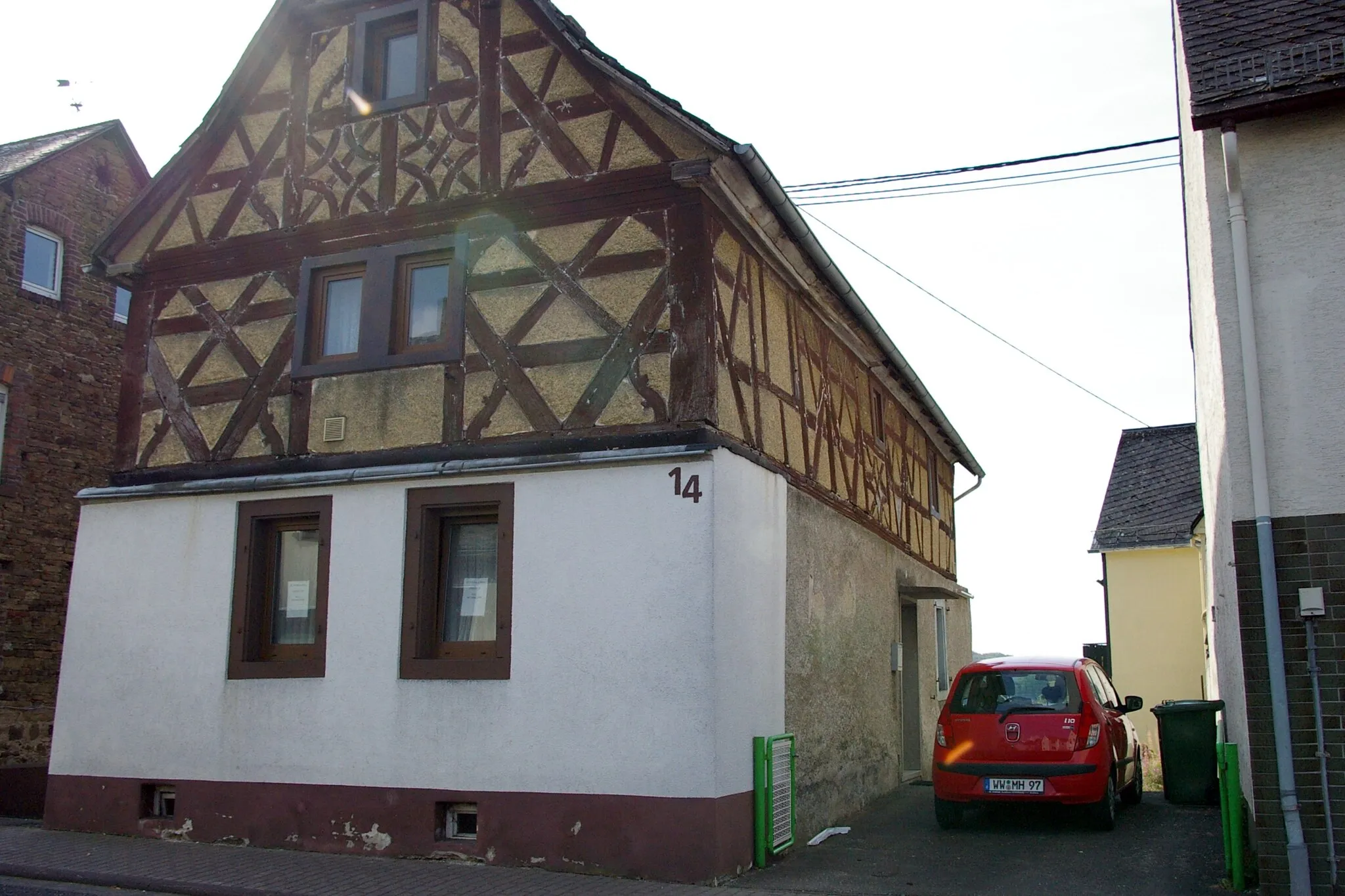
Prangenberg328 mPeakPrangenberg is a scenic village with charming half-timbered houses and a relaxed atmosphere, perfect for a quick break.
37 km
37 km
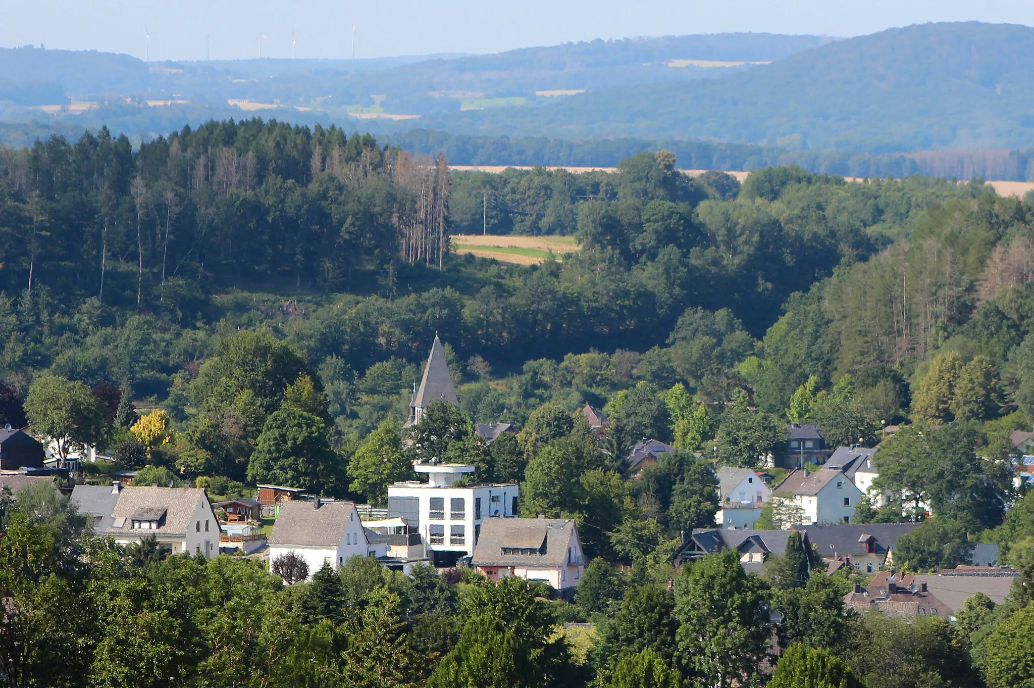
HerschbachVillageHerschbach is a beautiful village surrounded by pristine nature and rolling hills, offering a peaceful retreat for cyclists.
43 km
43 km
Selters (Westerwald)TownSelters (Westerwald) is a historic town with a rich cultural heritage, known for its traditional architecture and friendly locals.
49 km
49 km
Schulzenhahn348 mPeakSchulzenhahn is an ideal rest stop along the route, offering facilities for cyclists and a chance to refuel.
51 km
51 km
Finish: Ransbach-Baumbach City centerRansbach-Baumbach: Cycling in Ransbach-Baumbach: Picturesque roads and village charm.
Cycling routes from Ransbach-Baumbach:
Gravel Adventure to Hölzenberg Hardt to Hundsdorf Road Route Ultimate Koblenz Cycling Adventure The Alsbach Adventure The Montabaur Loop The Nassau Loop The Gravel Adventure The Nassau Adventure Höhr-Grenzhausen Loop Ransbach-Baumbach to Ebernhahn Scenic Route Hölzenberg Circuit Gravel Adventure Westerwald Gravel Loop
Cycling routes nearby: