Gravel Tour Around Koblenz
A gravel cycling route starting from Wirges
A scenic gravel route showcasing the natural beauty surrounding Koblenz
Map
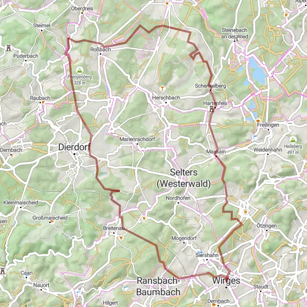
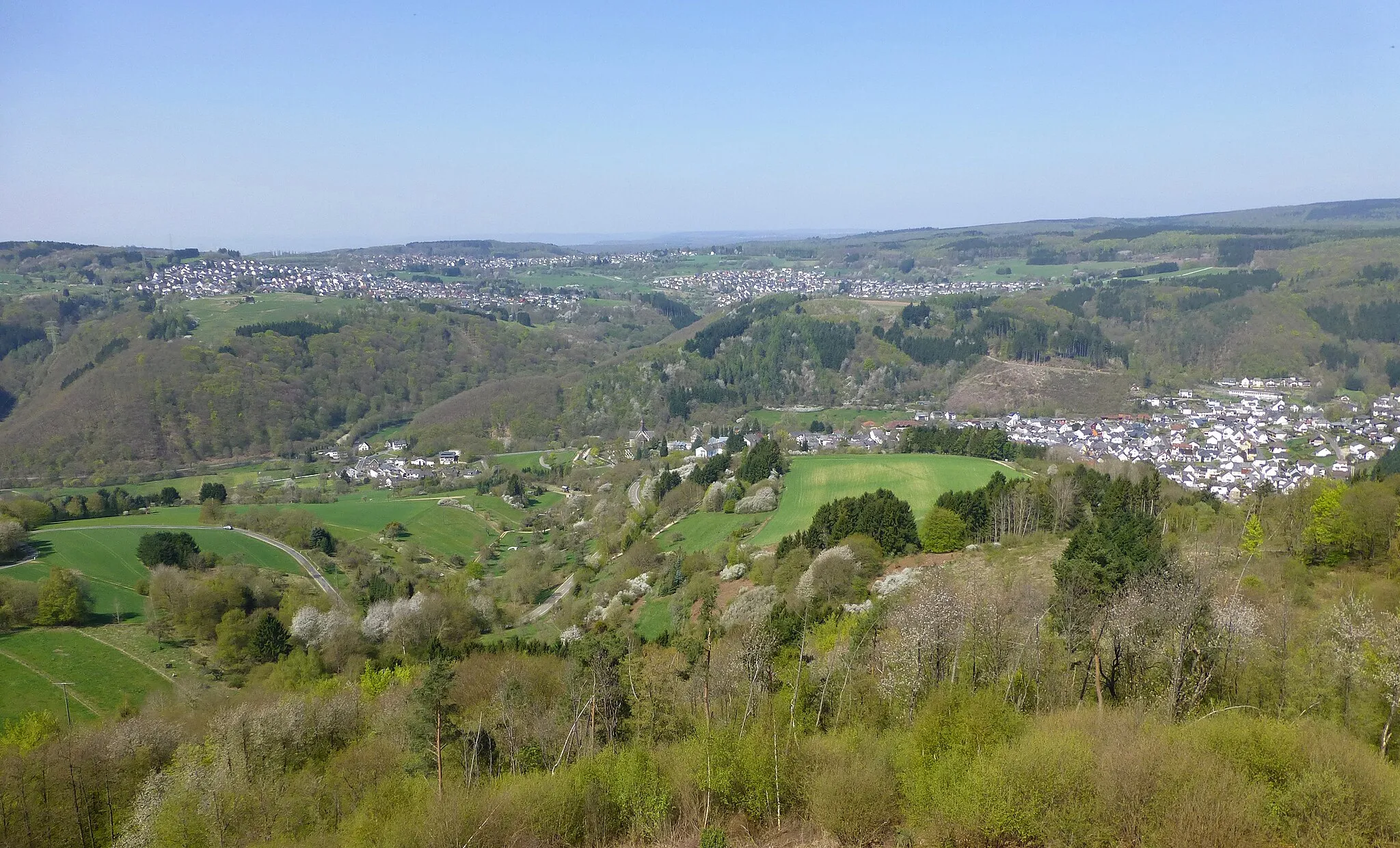
This 55 km gravel route takes you on a scenic journey through the beautiful landscapes surrounding Koblenz. With a total ascent of 891 meters, prepare for some challenging climbs and rewarding descents. Along the way, you'll pass through charming villages, dense forests, and serene riverbanks. Experience the thrill of riding off-road while immersing yourself in the tranquility of nature.
gravel
55 km
891 m
Tough
Route profile
Highlights on the route
0 km
0 km
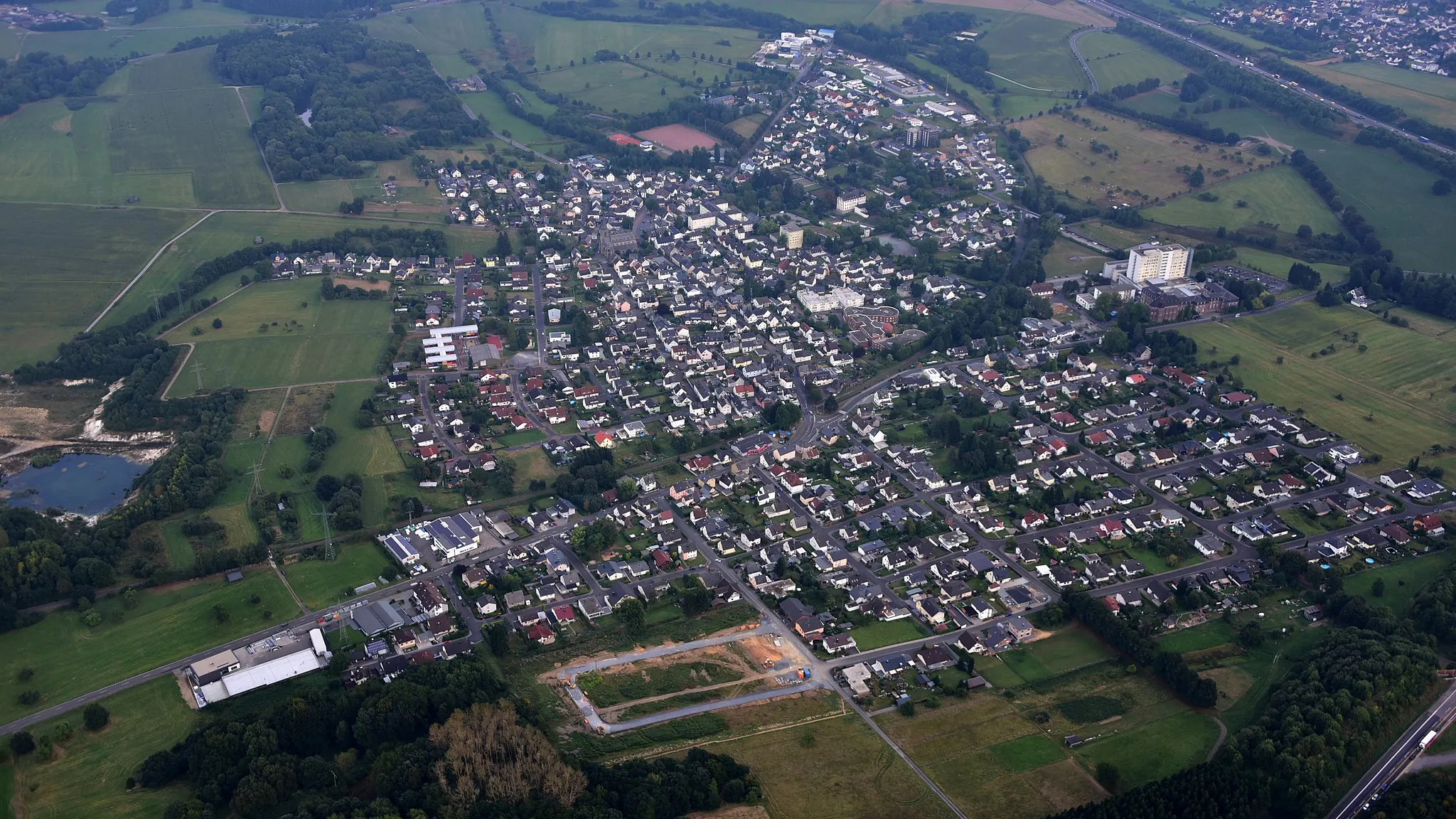
Start: Wirges City centerWirges: Discover Varied Terrain and Famous Climbs in the Westerwald region
Wirges is a locality in the Koblenz region of Germany. As a road and gravel cyclist, Wirges offers diverse cycling opportunities. The area features a mix of gently rolling hills and flat terrain, making it suitable for cyclists of all skill levels. Cyclists can explore the scenic landscapes of the Westerwald region or venture out to nearby famous climbs such as Koblenz-Güls. With its varied terrain and proximity to renowned cycling spots, Wirges is a great choice for both leisurely rides and challenging adventures.2 km
2 km
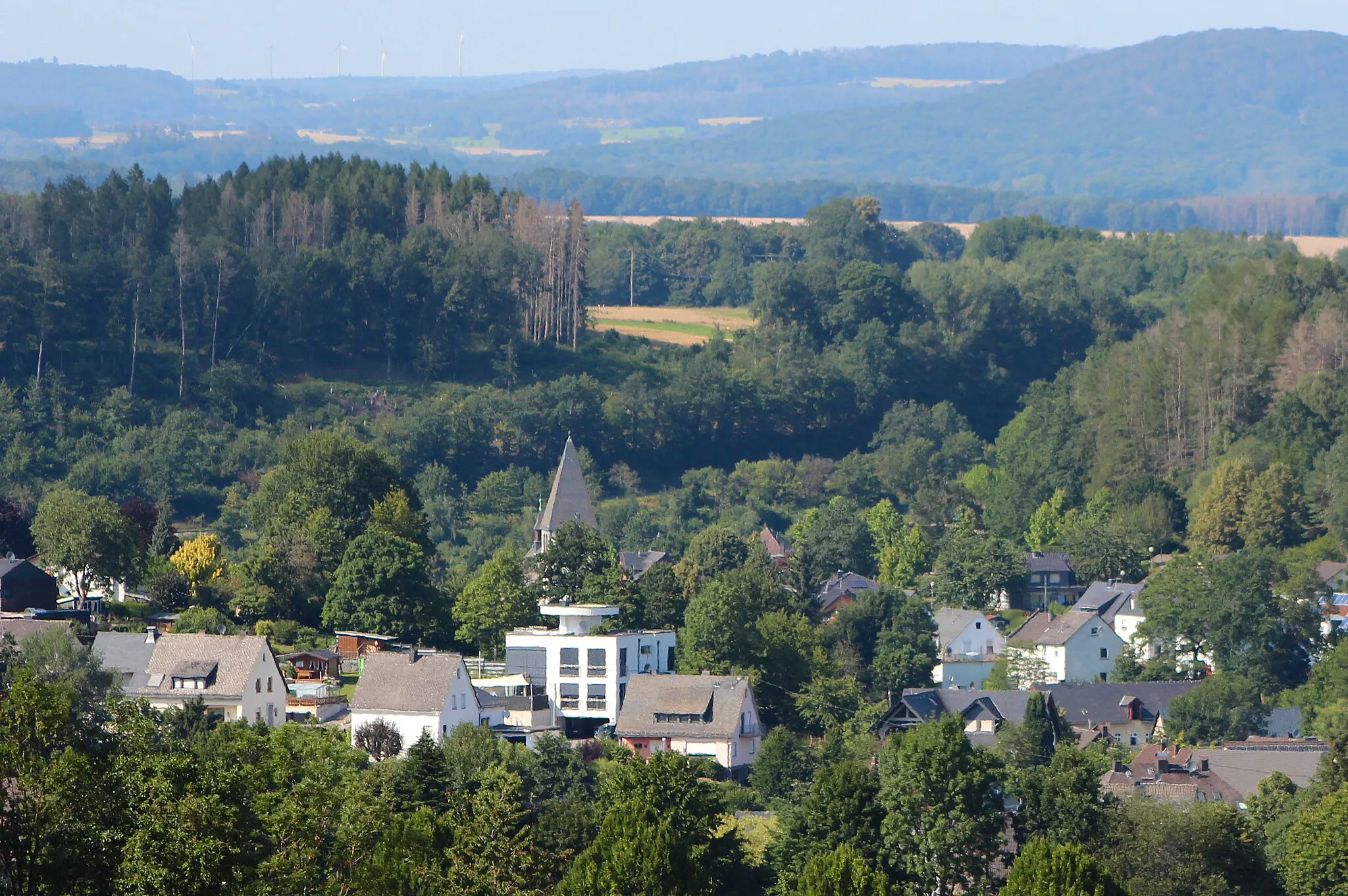
Massenberg349 mPeakStop by Massenberg, a small village known for its traditional half-timbered houses and idyllic countryside views.
10 km
10 km
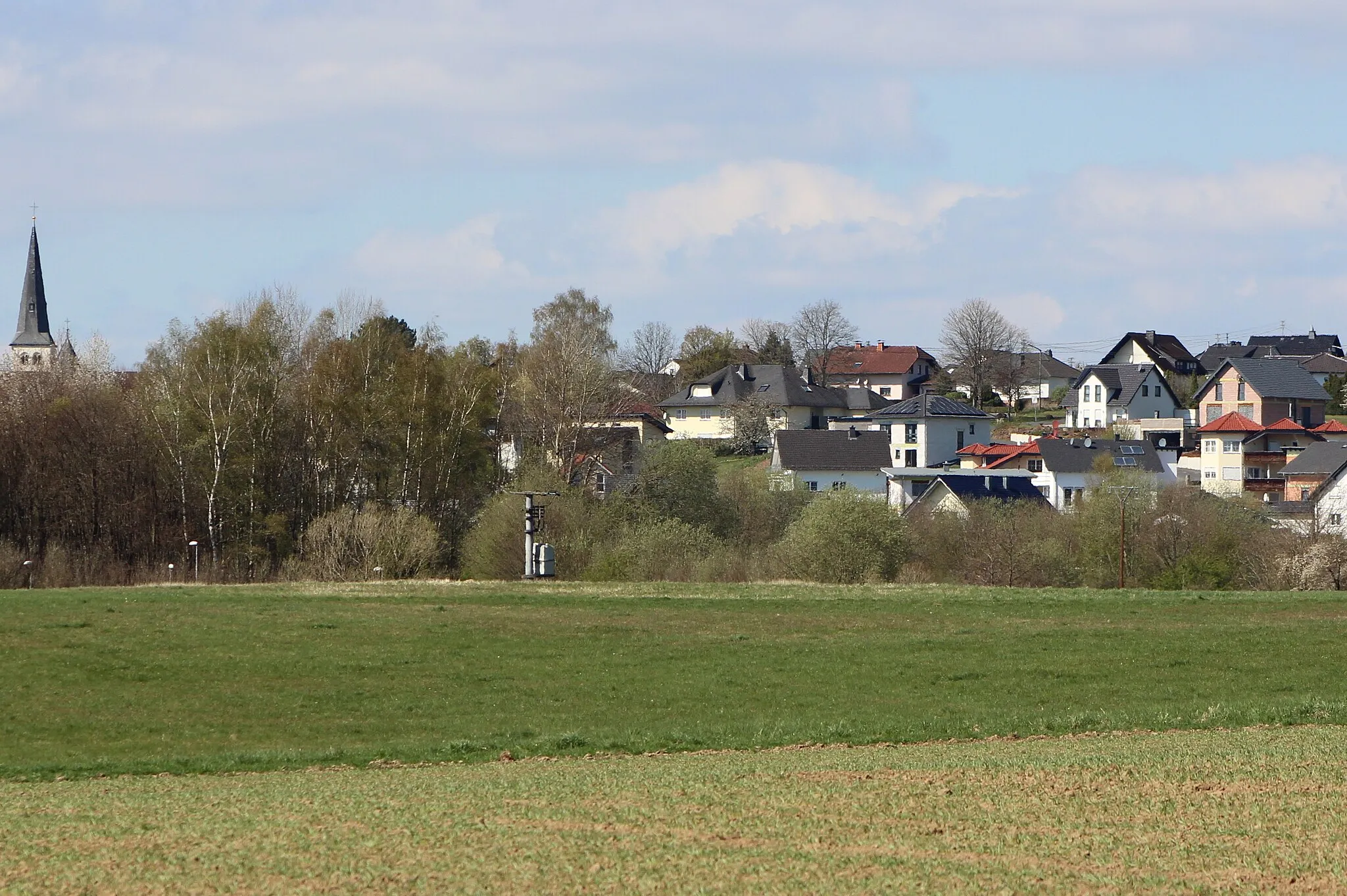
DeesenVillageDeesen is a must-stop location, offering a refreshing break with its beautiful lake where you can take a dip or enjoy a picnic by the shore.
22 km
22 km
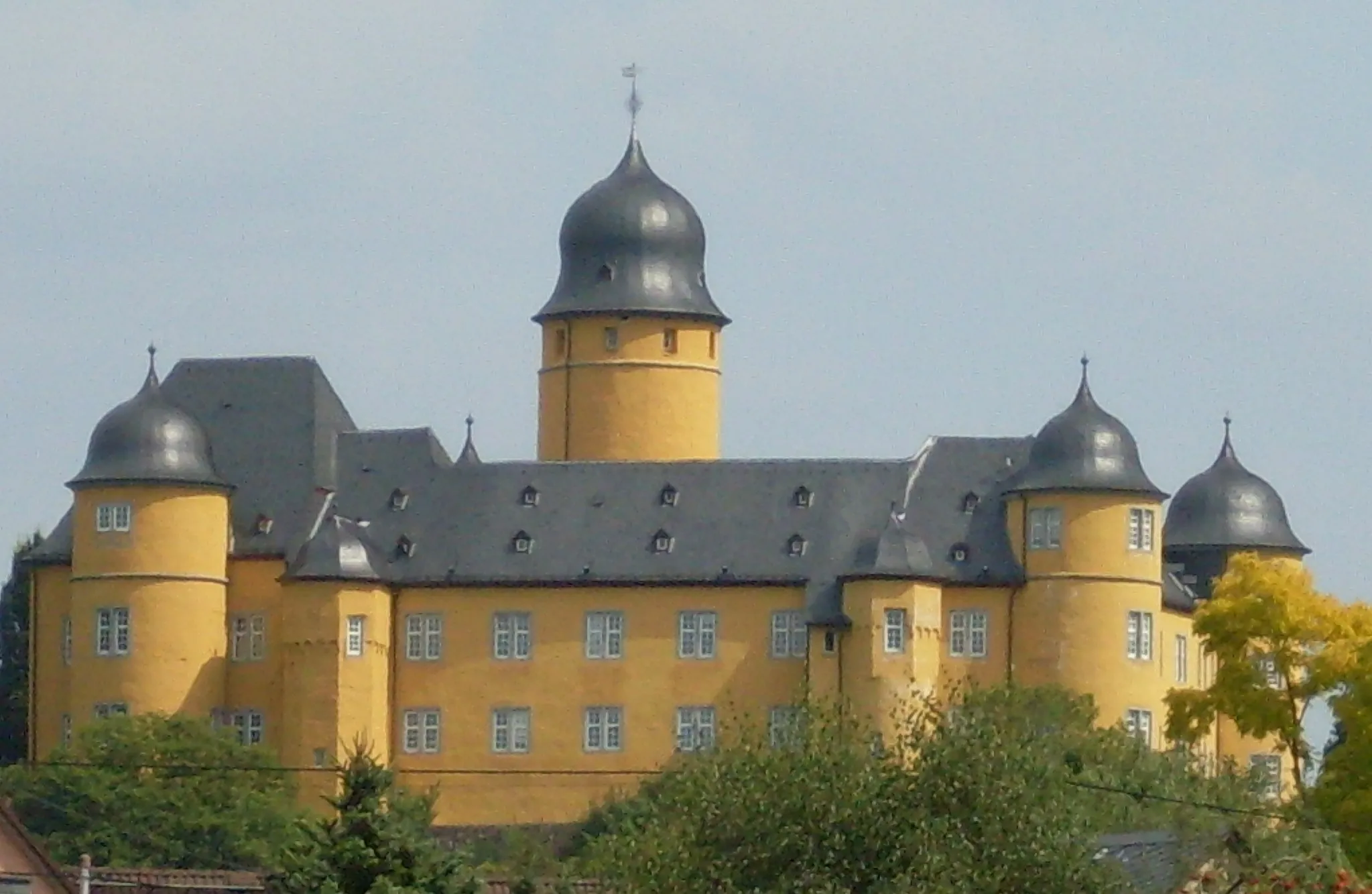
Prangenberg328 mPeakPrangenberg Castle, situated on a hilltop, offers breathtaking panoramic views of the surrounding countryside and the nearby Rhine River.
27 km
27 km
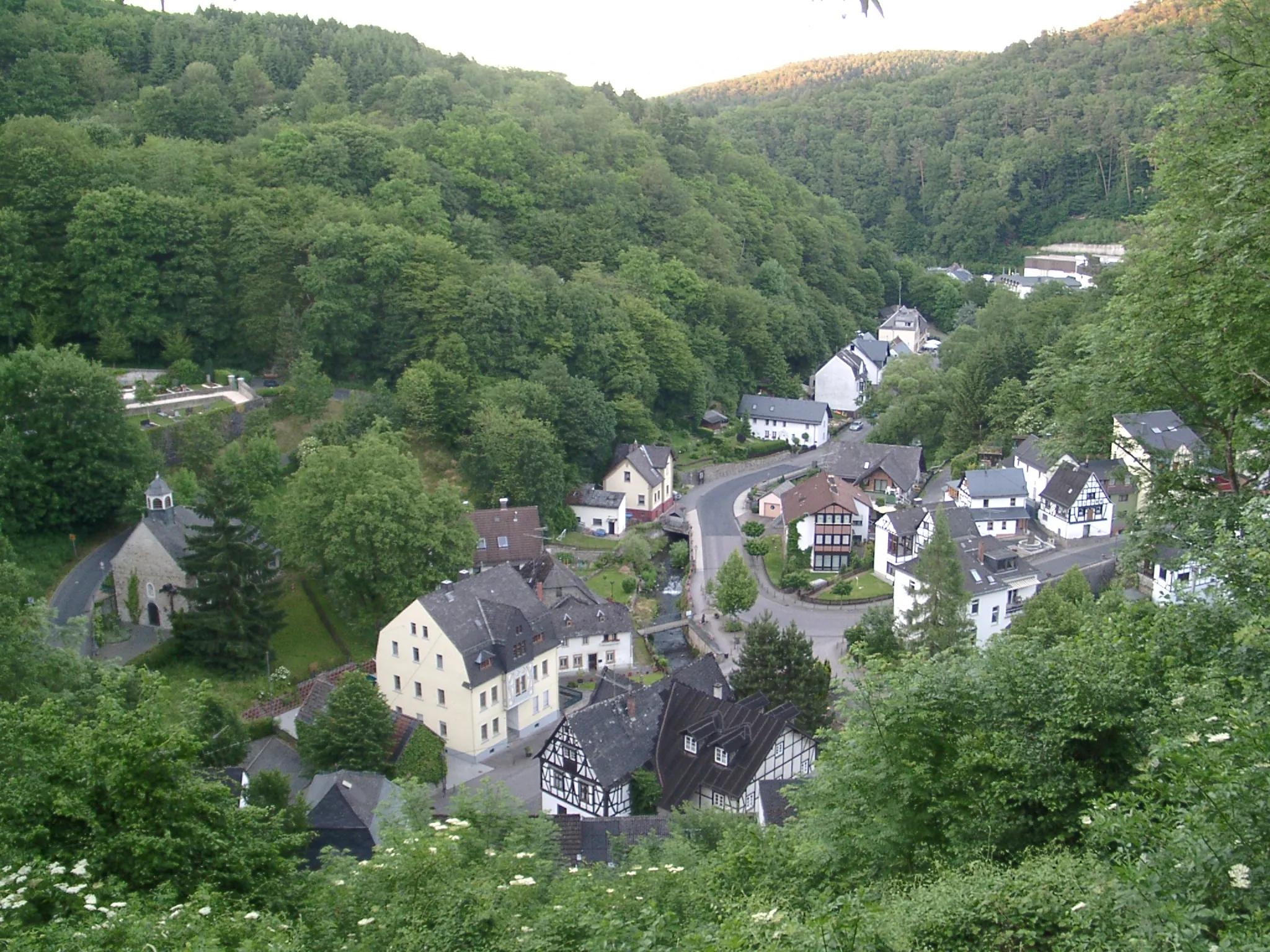
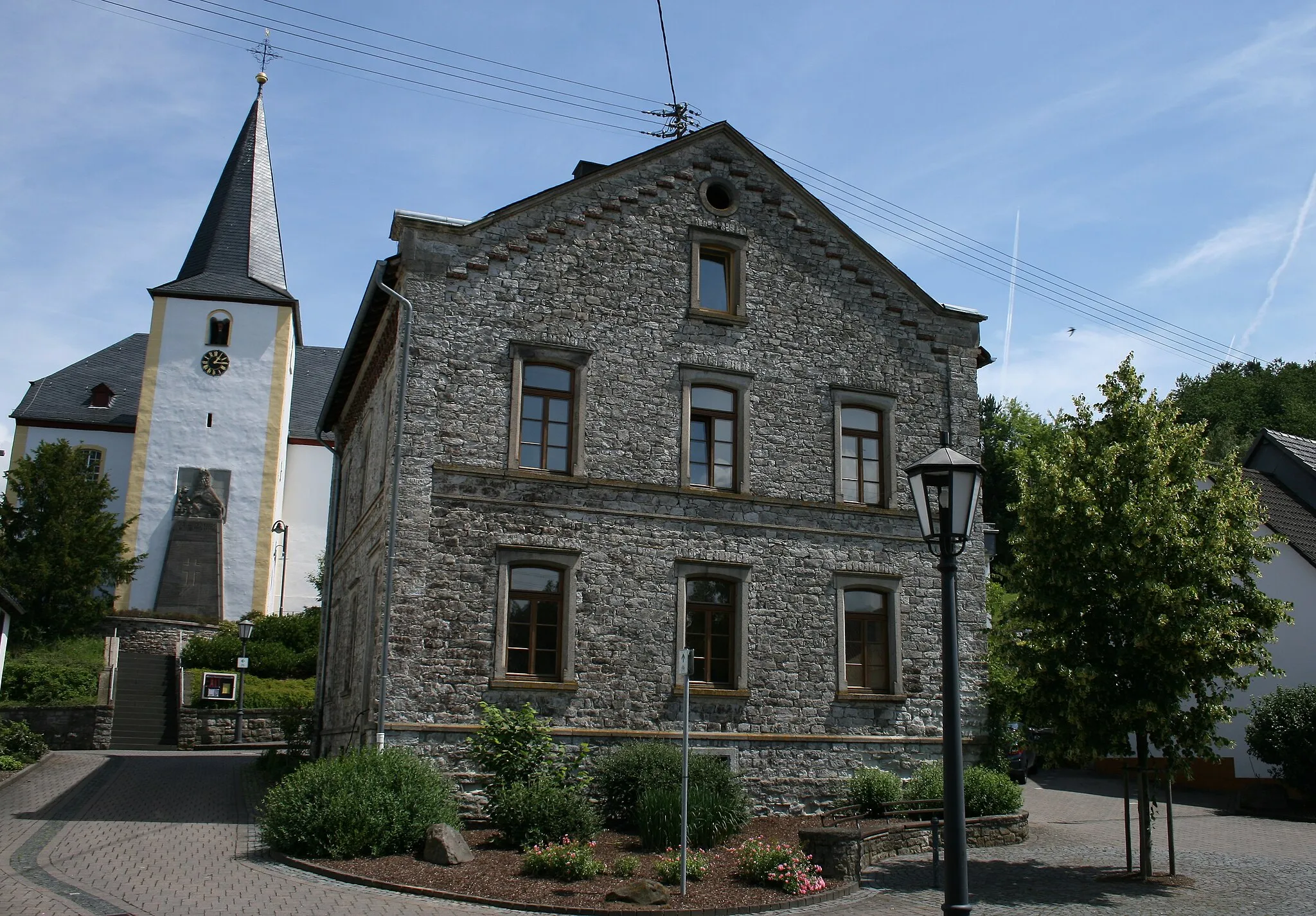
RoßbachVillageRoßbach is worth a visit for history enthusiasts, featuring centuries-old Roman ruins and artifacts that shed light on the region's rich past.
34 km
34 km
Hartenfelser Kopf478 mPeakClimb to the top of Hartenfelser Kopf, a prominent hill that rewards you with panoramic vistas of the rolling hills and meandering rivers below.
44 km
44 km
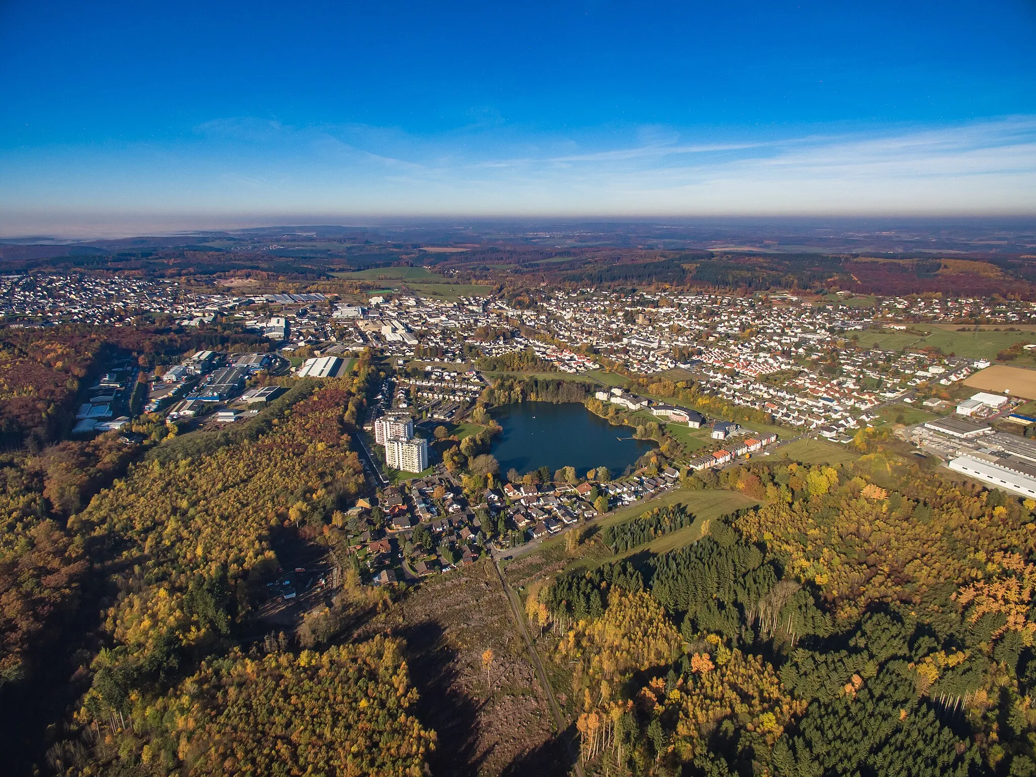
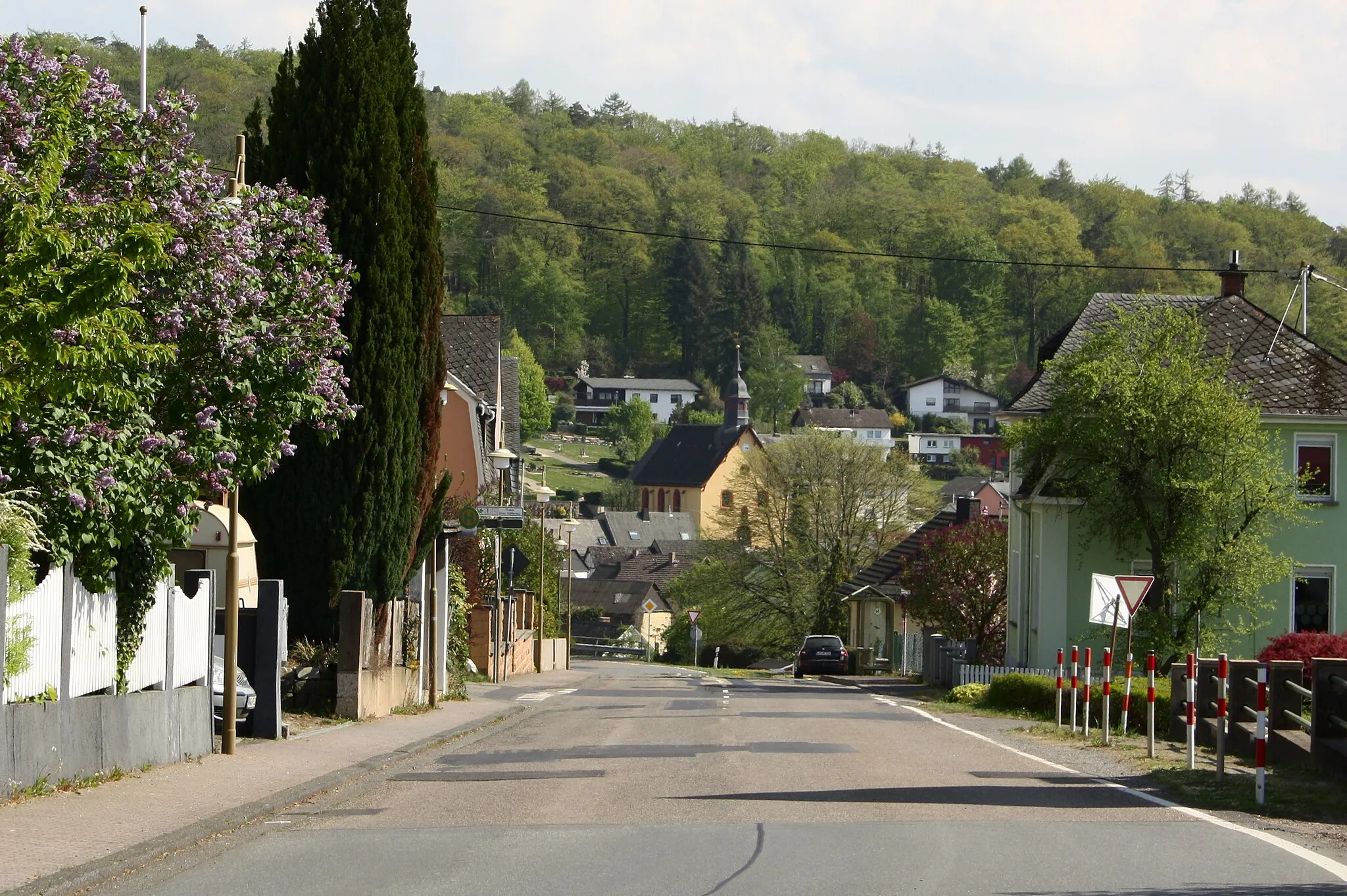
MaxsainVillageMaxsain is known for its tranquil forest trails, perfect for a peaceful break amidst nature's beauty. Don't miss the chance to spot local wildlife.
55 km
55 km
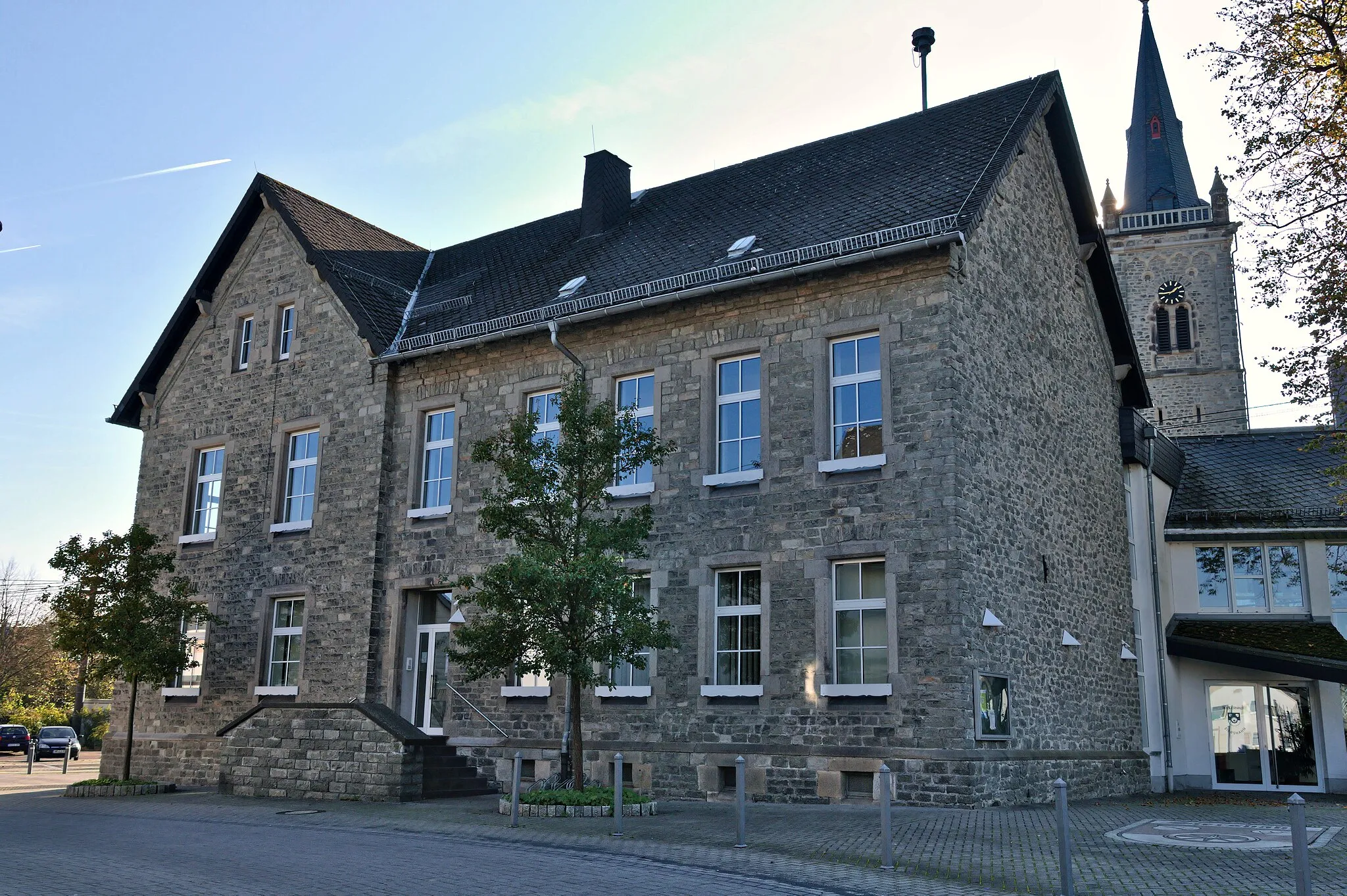
WirgesTownAs the starting point and endpoint of the route, Wirges provides convenience and plenty of amenities for cyclists. Restock supplies and unwind after a day of exploration.
55 km
55 km
Finish: Wirges City centerWirges: Discover Varied Terrain and Famous Climbs in the Westerwald region
Cycling routes from Wirges:
Lahn Valley Adventure Gravel Adventure: From Wirges to Bad Ems The Challenging Hills of Steimel Hidden Gem: Explore the Westerwald Koblenz Adventure Wirges Gravel Adventure Koblenz Countryside Tour Wirges Scenic Tour Wirges Gravel Discovery Wirges and Surroundings Gravel Tour Around Koblenz Scenic Road Cycling Adventure
Cycling routes nearby: