Scenic Road Cycling Adventure
A road cycling route starting from Wirges
Embark on an unforgettable road cycling adventure through picturesque landscapes near Koblenz
Map
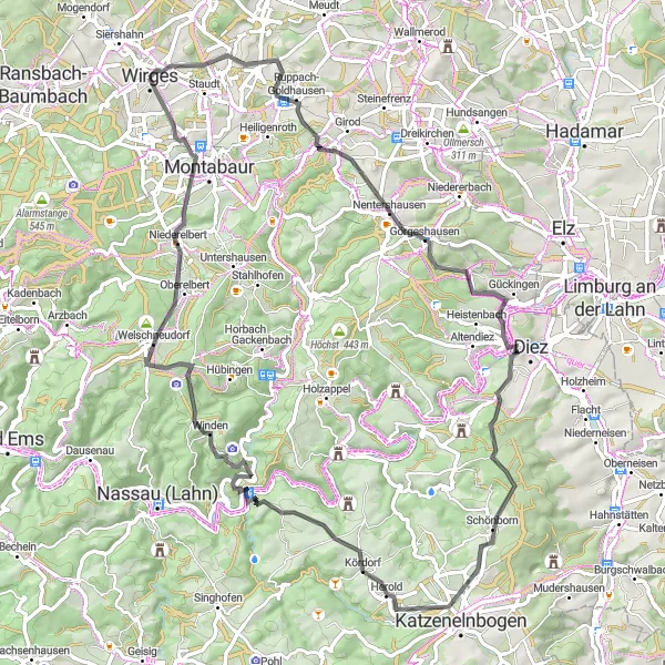
Prepare for a 75 km road cycling adventure that takes you through stunning landscapes near Koblenz. With a total ascent of 1265 meters, this challenging route will push your limits while rewarding you with magnificent views at every turn. Pedal through charming villages, cross scenic rivers, and conquer rolling hills as you immerse yourself in the beauty of the region. Experience the thrill of road cycling on well-maintained routes that cater to both beginners and experienced riders.
road
75 km
1265 m
Tough
Route profile
Highlights on the route
0 km
0 km
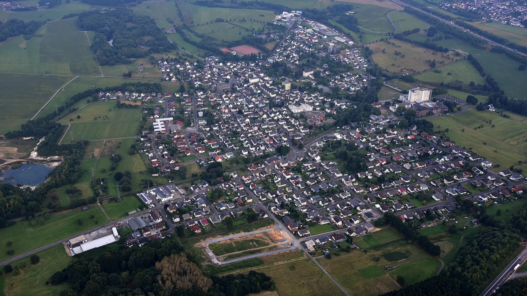
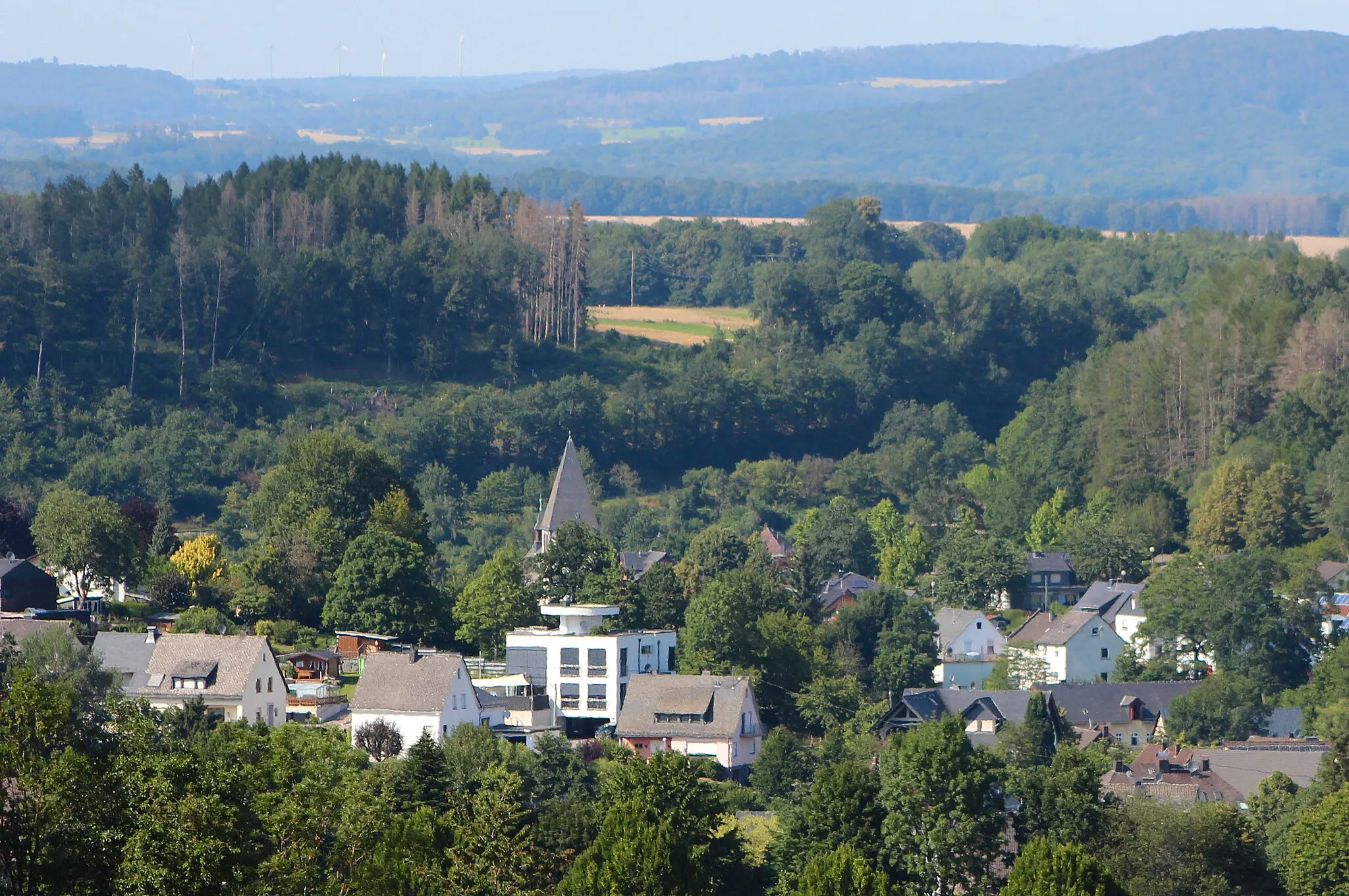
Start: Wirges City centerWirges: Discover Varied Terrain and Famous Climbs in the Westerwald region
Wirges is a locality in the Koblenz region of Germany. As a road and gravel cyclist, Wirges offers diverse cycling opportunities. The area features a mix of gently rolling hills and flat terrain, making it suitable for cyclists of all skill levels. Cyclists can explore the scenic landscapes of the Westerwald region or venture out to nearby famous climbs such as Koblenz-Güls. With its varied terrain and proximity to renowned cycling spots, Wirges is a great choice for both leisurely rides and challenging adventures.16 km
16 km
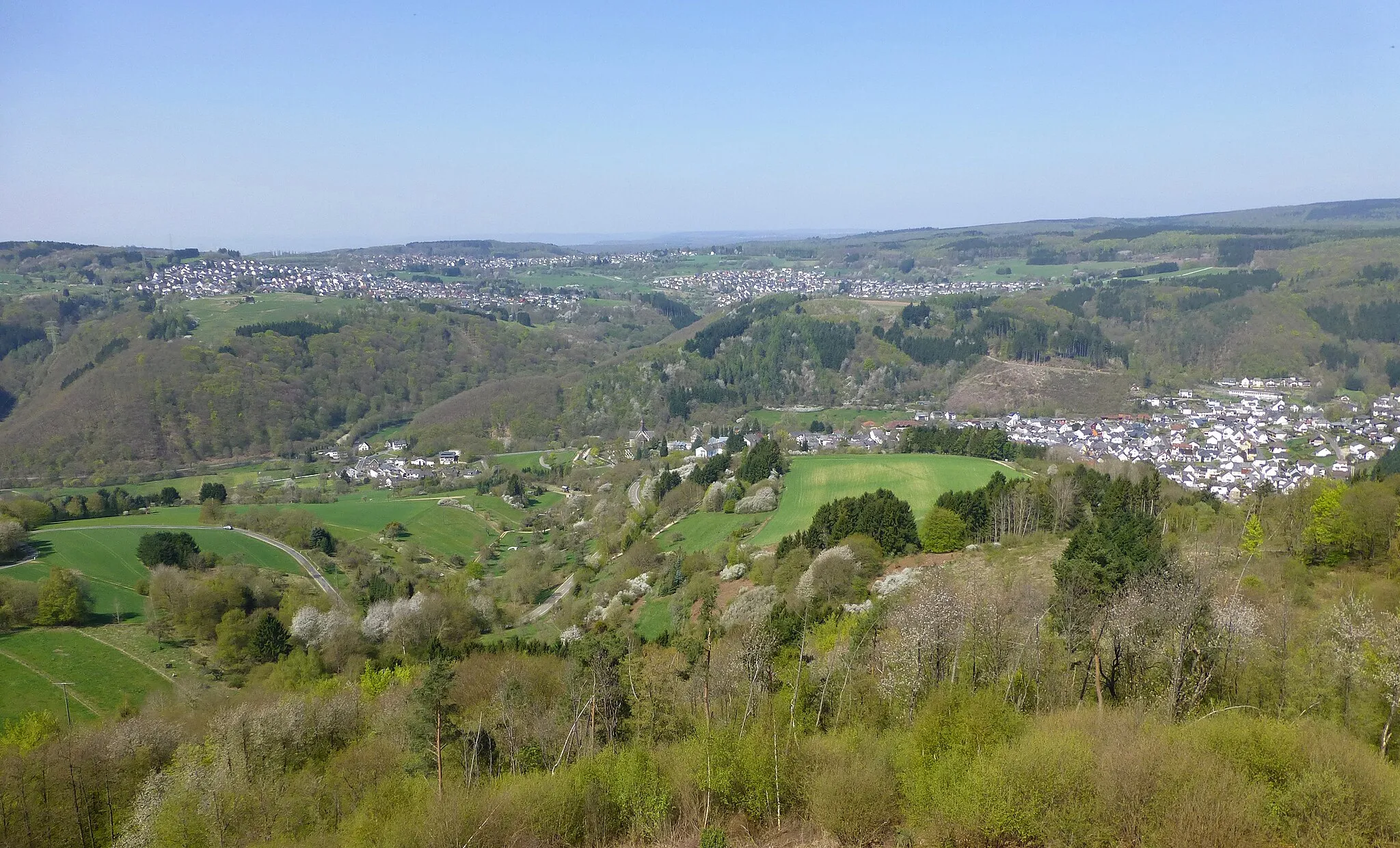
Lange Issel325 mPeakLange Issel is a perfect spot for a quick break, offering tranquil riverside views and serene picnic areas. Take a moment to soak in the peaceful ambiance.
17 km
17 km
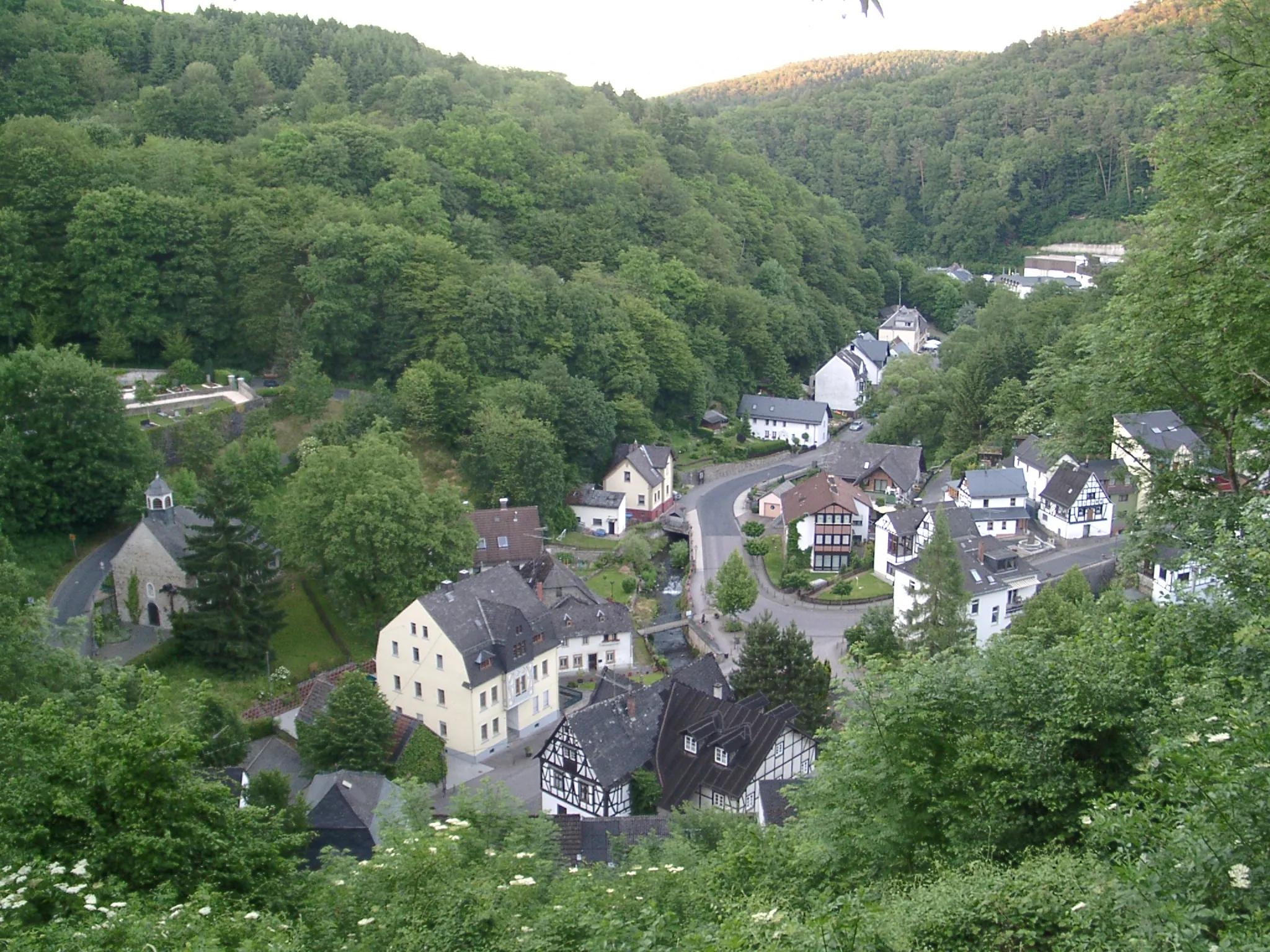
GörgeshausenVillageGörgeshausen is home to the famous Peters Fahrrad Hotel, catering to cycling enthusiasts with bike-friendly facilities and stunning views over the surrounding countryside.
25 km
25 km
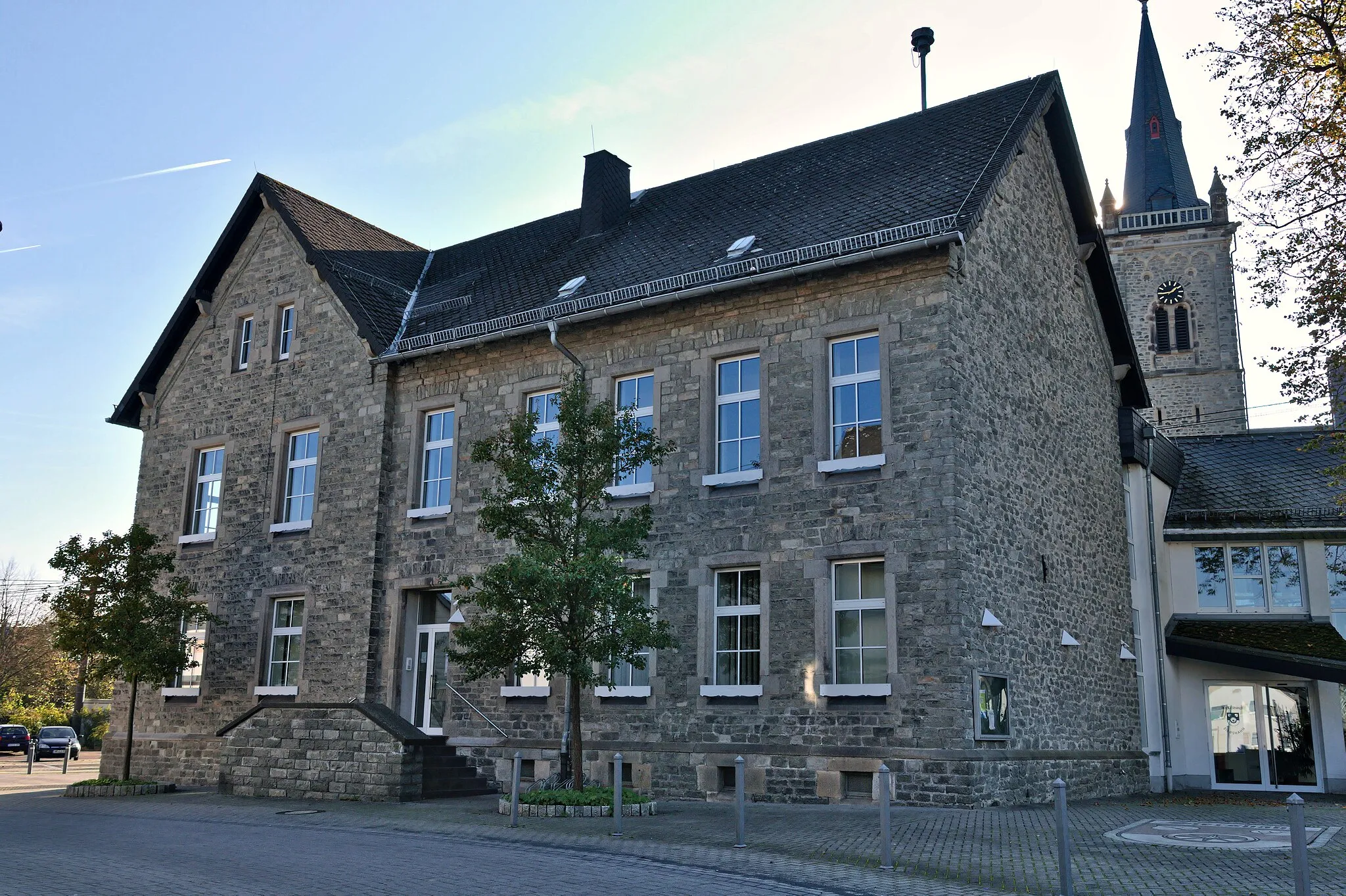
DiezTownDiez is a historic town that invites you to explore its enchanting medieval architecture. Don't miss the chance to visit Diez Castle, known for its impressive Renaissance-style design.
39 km
39 km
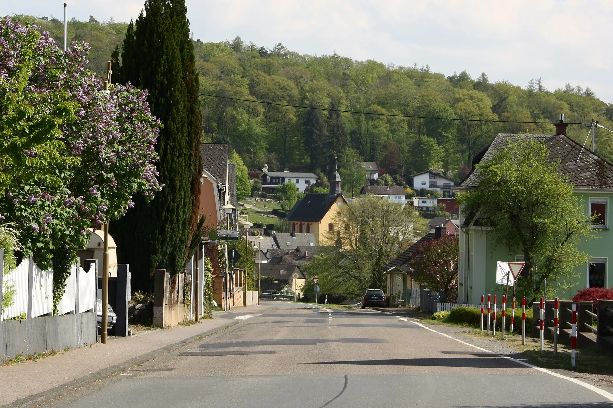
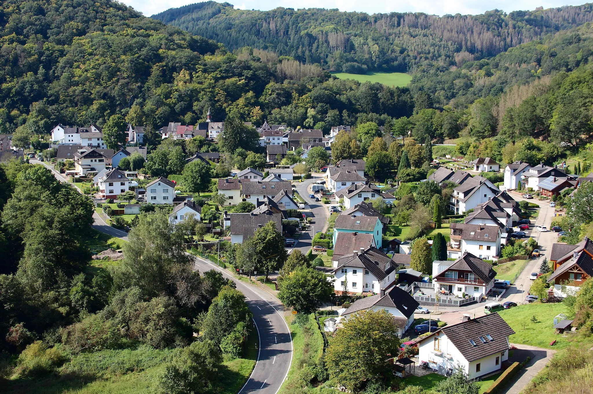
Horst393 mPeakHorst is a peaceful village that offers a countryside escape. Take a moment to unwind in Horst and admire the idyllic rural scenery.
52 km
52 km
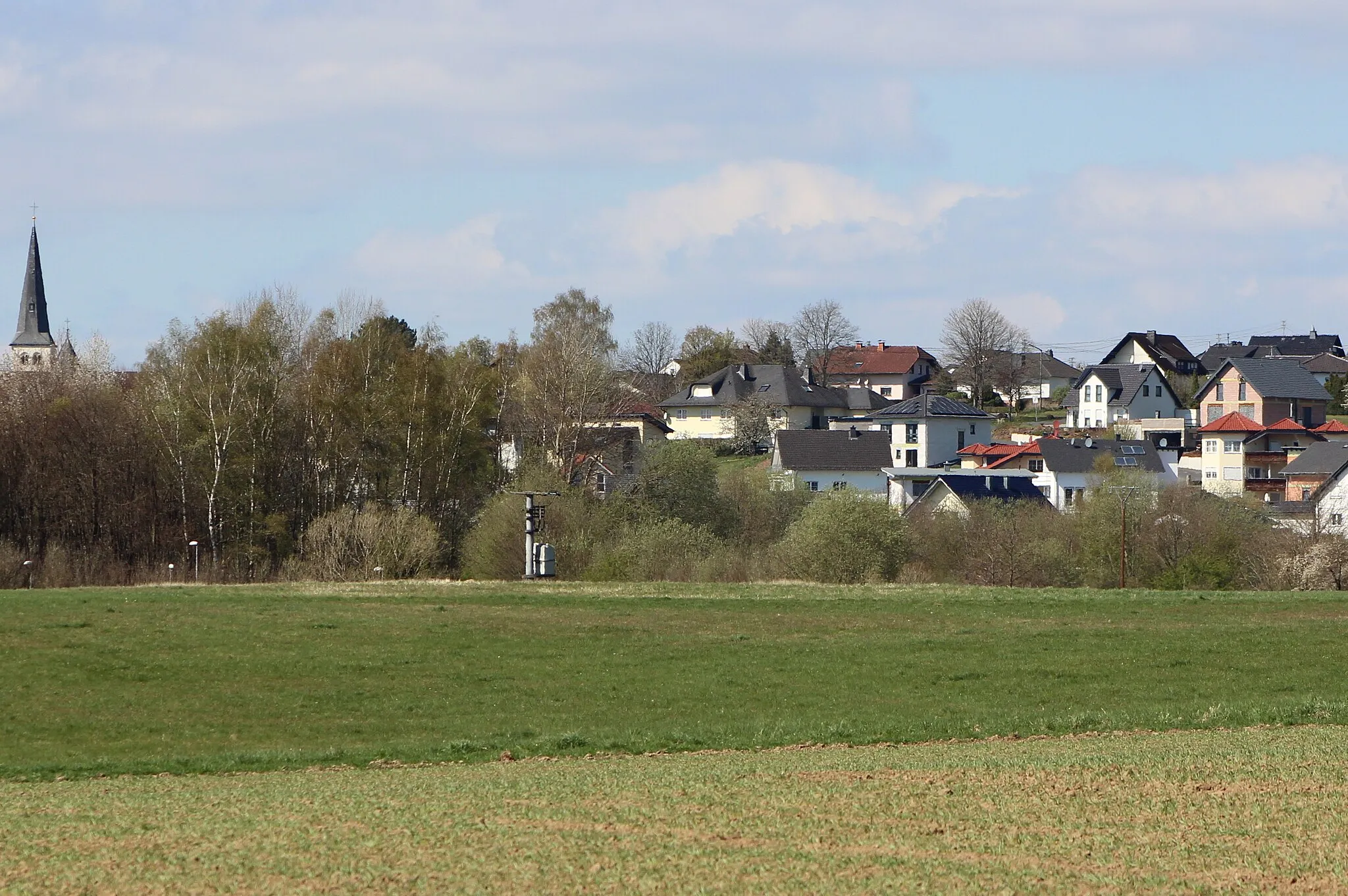
WeinährVillageWeinähr, perched on the banks of the Lahn River, will captivate you with its charming half-timbered houses and stunning views of the river valley. Indulge in delicious local cuisine.
55 km
55 km
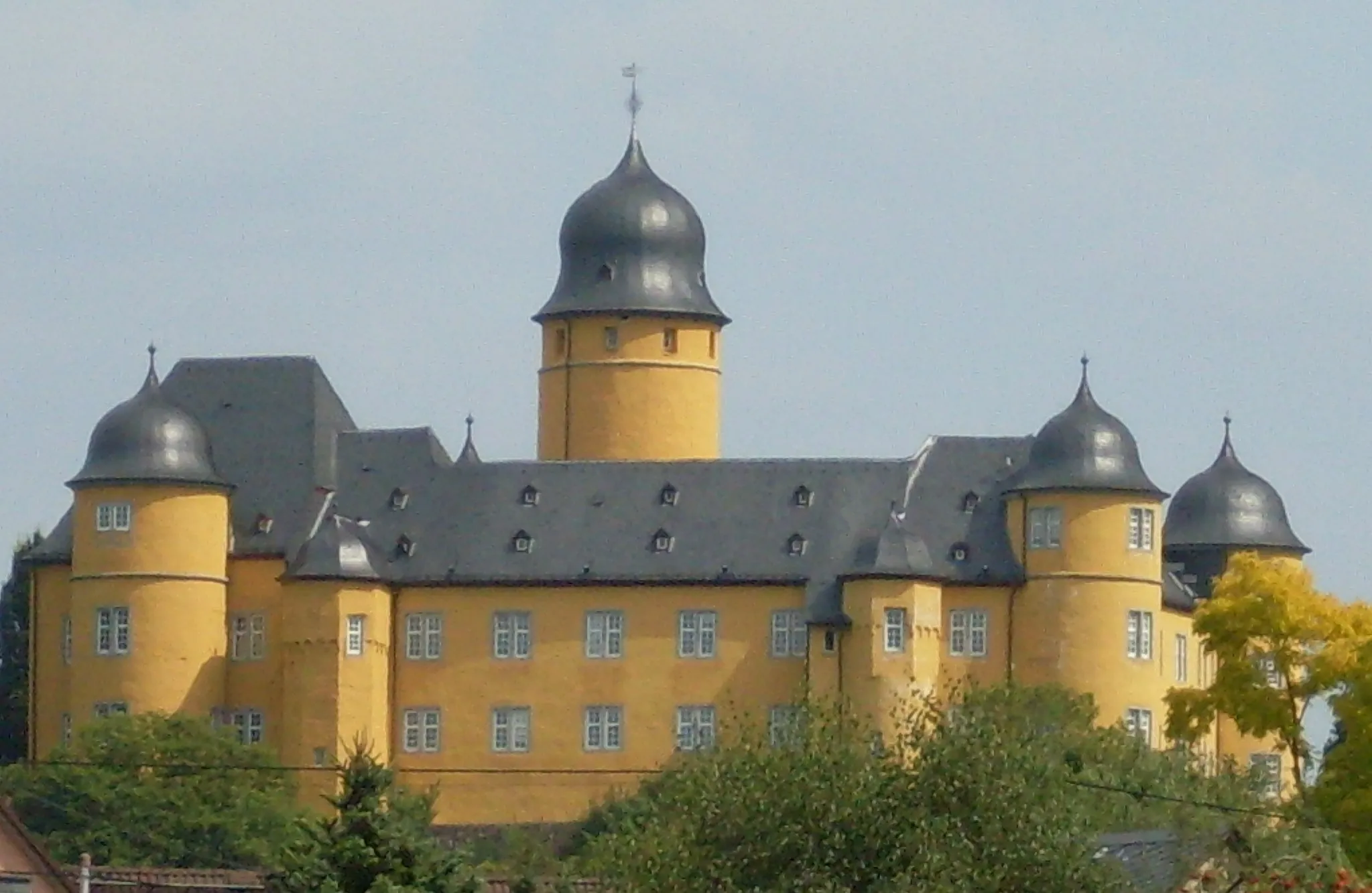
Katzenstein325 mPeak ViewpointKatzenstein presents a unique opportunity to explore Germany's historic cycling heritage. Visit the Katzenstein Castle, known as a legendary spot for bikers and a hub for cycling events.
73 km
73 km
Fussenacker291 mPeakFussenacker, situated amidst lush greenery, entices riders with its picturesque panoramic views. Take a moment to appreciate the natural beauty surrounding this peaceful location.
75 km
75 km
WirgesTownAs the starting and endpoint of this epic road cycling adventure, Wirges delights cyclists with its convenience and amenities. Stop by local cafes and enjoy a well-deserved post-ride meal.
75 km
75 km
Finish: Wirges City centerWirges: Discover Varied Terrain and Famous Climbs in the Westerwald region
Cycling routes from Wirges:
Lahn Valley Adventure Gravel Adventure: From Wirges to Bad Ems The Challenging Hills of Steimel Hidden Gem: Explore the Westerwald Koblenz Adventure Wirges Gravel Adventure Koblenz Countryside Tour Wirges Scenic Tour Wirges Gravel Discovery Wirges and Surroundings Gravel Tour Around Koblenz Scenic Road Cycling Adventure
Cycling routes nearby: