Gravel Adventure in the Countryside
A gravel cycling route starting from Bilderstoeckchen
Embark on a gravel adventure through idyllic villages and scenic landscapes
Map
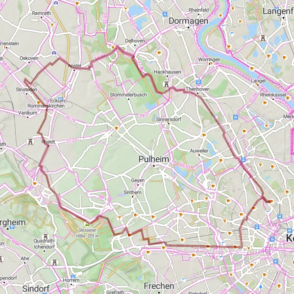
This gravel route takes you on an adventure through the charming countryside surrounding Cologne. With a distance of 65 kilometers and an ascent of 238 meters, this moderately challenging route offers a mix of quiet country roads and picturesque pathways. Discover hidden gems along the way, such as the historic village of Bickendorf and the serene Dreizehn-Linden-Platz. Enjoy breathtaking views from Glessener Höhe and Oberaußem, and take a moment to admire the beautiful landscape at Rommerskirchen.
gravel
65 km
238 m
Tough
Route profile
Highlights on the route
0 km
0 km
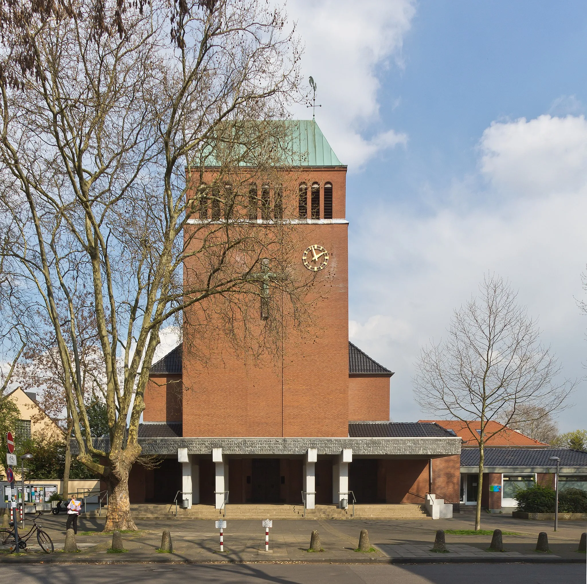
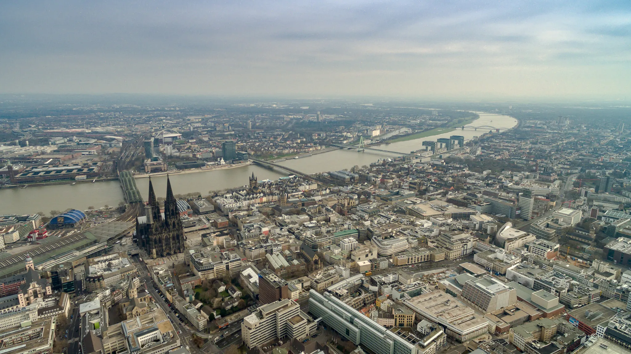
Start: Locality centerBilderstöckchen: Cyclist-friendly locality in Köln, Germany
Bilderstöckchen, located in Köln, Germany, is a cyclist-friendly locality with a variety of road and gravel cycling opportunities. The area features well-paved roads and dedicated cycling paths, making it easy and safe for cyclists to explore the region. While Bilderstöckchen may not have any famous cycling spots or well-known climbs nearby, it offers a pleasant and convenient cycling environment. Cyclists can enjoy exploring the city of Köln while also enjoying the scenic routes around Bilderstöckchen.3 km
3 km
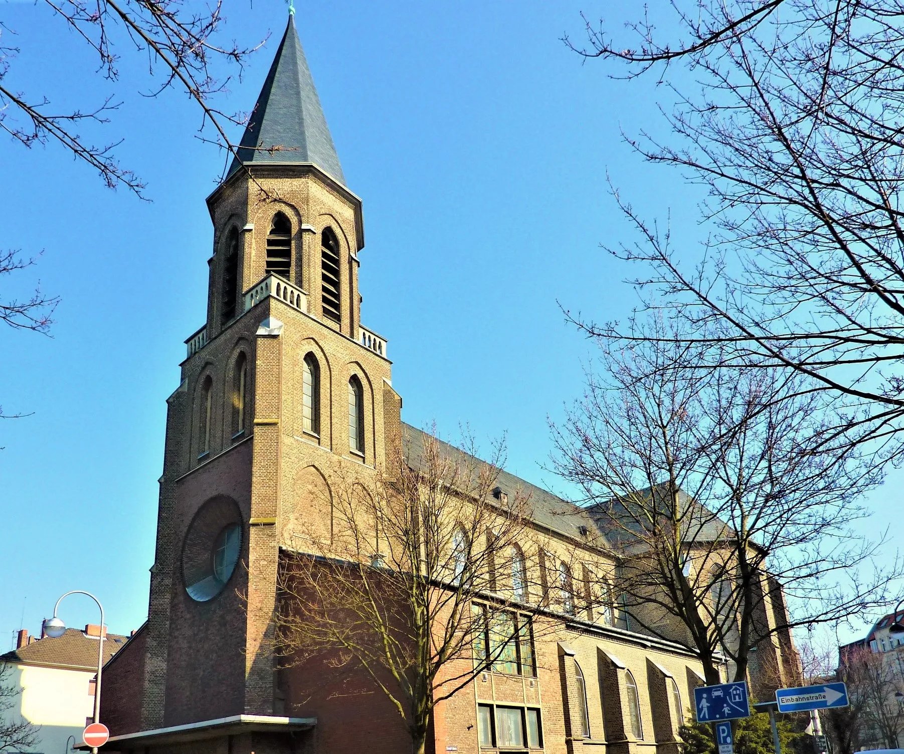
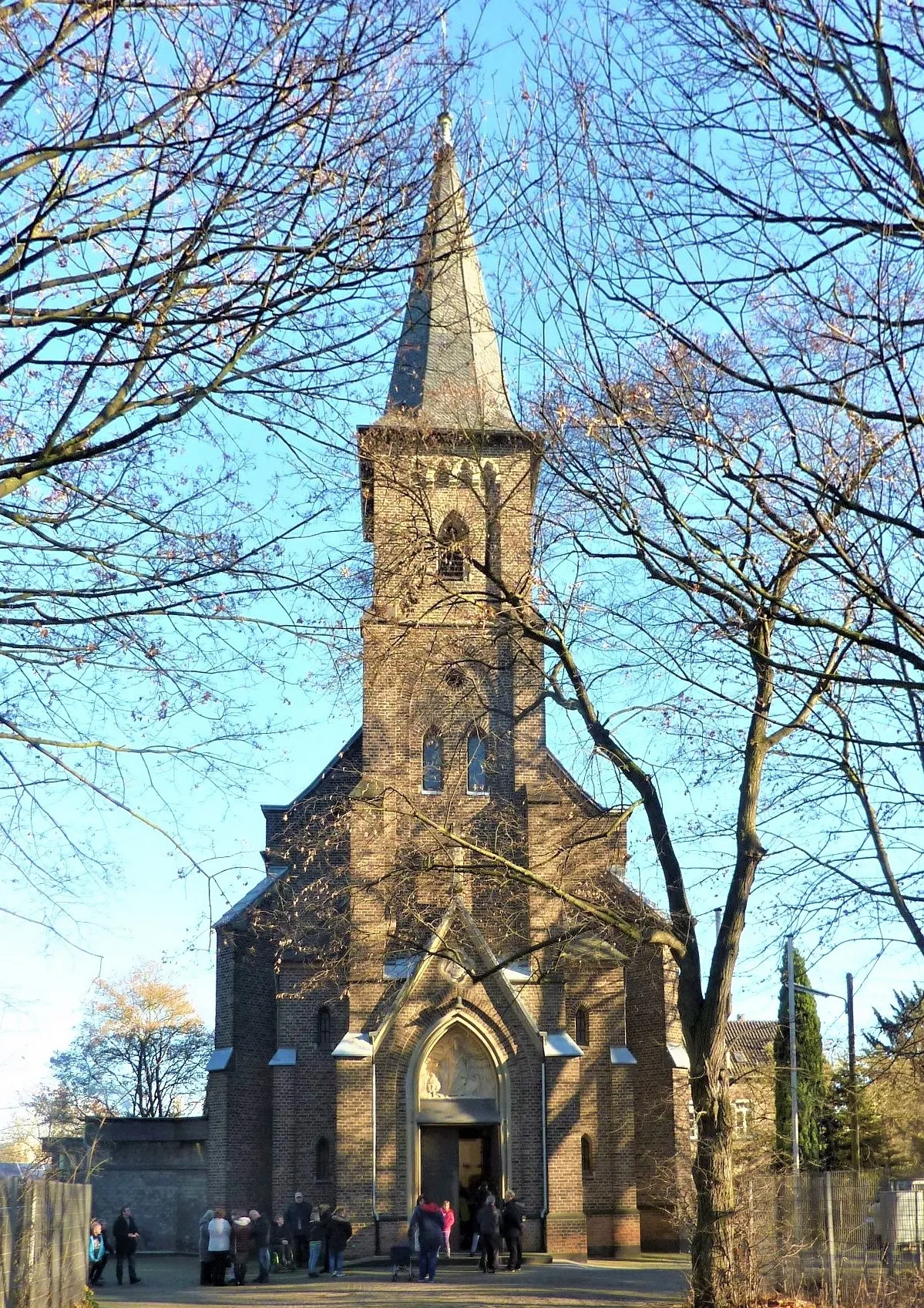
BickendorfSub-urbExplore the charming village of Bickendorf with its historic buildings and tranquil atmosphere.
6 km
6 km
Dreizehn-Linden-PlatzViewpointTake a moment to rest and enjoy the peaceful surroundings at Dreizehn-Linden-Platz.
21 km
21 km
Glessener Höhe205 mPeakClimb to the top of Glessener Höhe and enjoy breathtaking panoramic views of the surrounding countryside.
25 km
25 km
OberaußemVillageDiscover Oberaußem, a picturesque village with traditional half-timbered houses.
32 km
32 km
RommerskirchenVillagePass through the tranquil village of Rommerskirchen and enjoy its peaceful atmosphere.
41 km
41 km
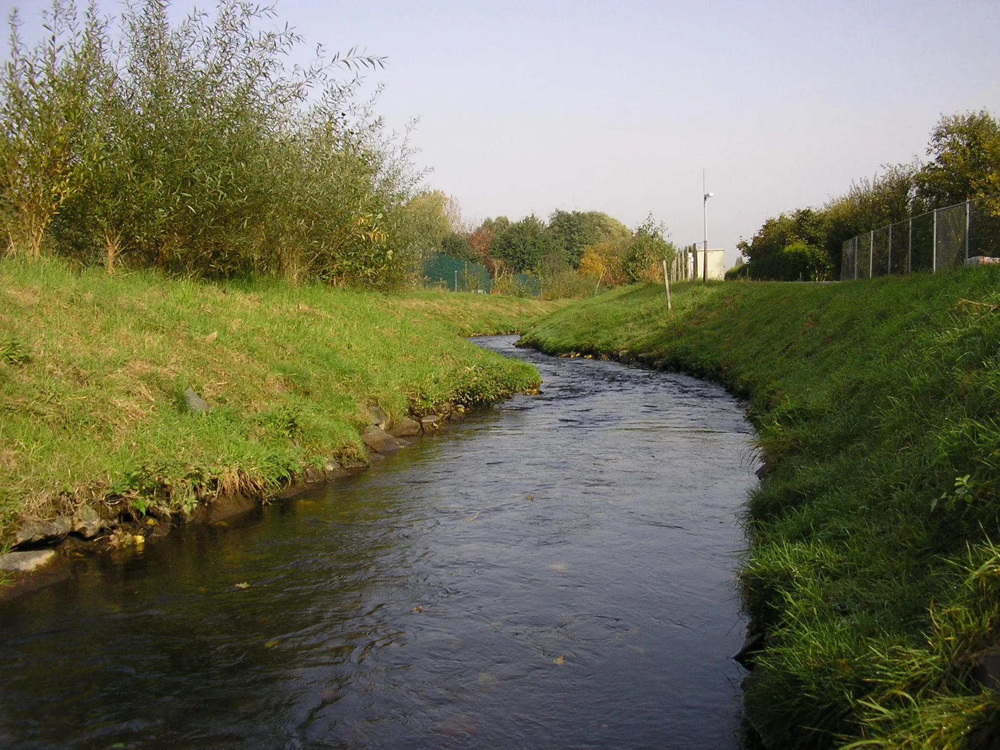
AnstelVillageVisit Anstel, a quiet village surrounded by scenic landscapes and unspoiled nature.
58 km
58 km
Volkhoven/WeilerSub-urbExplore the charming village of Volkhoven/Weiler with its historic buildings and picturesque streets.
65 km
65 km
BilderstöckchenSub-urbStart and end your gravel adventure in the vibrant neighborhood of Bilderstöckchen.
65 km
65 km
Finish: Locality centerBilderstöckchen: Cyclist-friendly locality in Köln, Germany
Cycling routes from Bilderstoeckchen:
Hidden Gems of Gravel Holweide and Beyond Neuehrenfeld Express Gravel Adventure in the Countryside Rural Escape: From Urban Köln to Picturesque Countryside Gravel Route to Bonn Gravel Adventure: From Urban to Rural Scenic Road Cycling to Alfter Exploring Gravel Paths to Sinnersdorf Scenic Road Cycling to Nörvenich
Cycling routes nearby: