Gravel Route to Bonn
A gravel cycling route starting from Bilderstoeckchen
Explore the beautiful gravel roads from Cologne to Bonn
Map

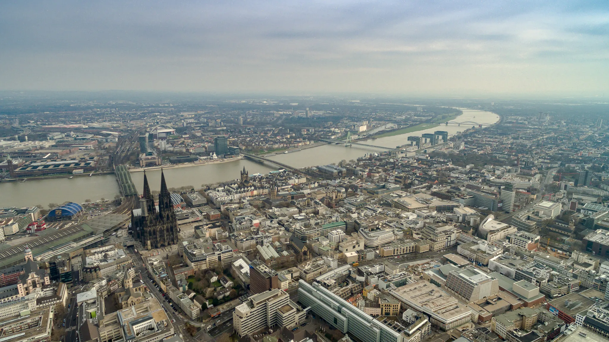
This gravel route takes you from Cologne to Bonn, traveling through picturesque landscapes and charming villages. With a total distance of 77 kilometers and an ascent of 191 meters, this moderate-level route offers a diverse and scenic cycling experience. Get ready to discover hidden gems, including the Heinzelmännchen Fountain, the iconic Köln Triangle, and the stunning Finkenberg with its panoramic views.
gravel
77 km
191 m
Tough
Route profile
Highlights on the route
0 km
0 km
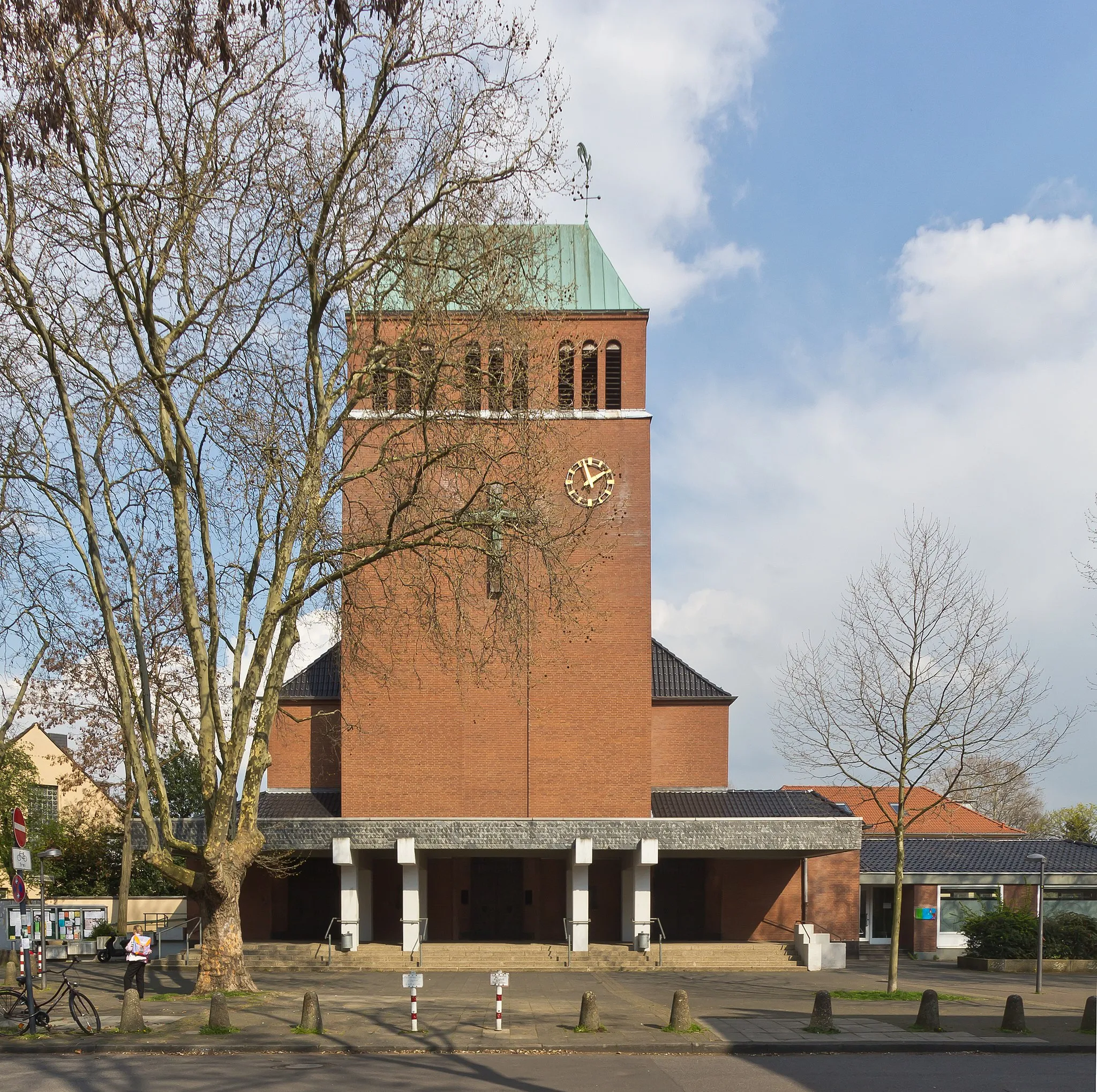
Start: Locality centerBilderstöckchen: Cyclist-friendly locality in Köln, Germany
Bilderstöckchen, located in Köln, Germany, is a cyclist-friendly locality with a variety of road and gravel cycling opportunities. The area features well-paved roads and dedicated cycling paths, making it easy and safe for cyclists to explore the region. While Bilderstöckchen may not have any famous cycling spots or well-known climbs nearby, it offers a pleasant and convenient cycling environment. Cyclists can enjoy exploring the city of Köln while also enjoying the scenic routes around Bilderstöckchen.4 km
4 km
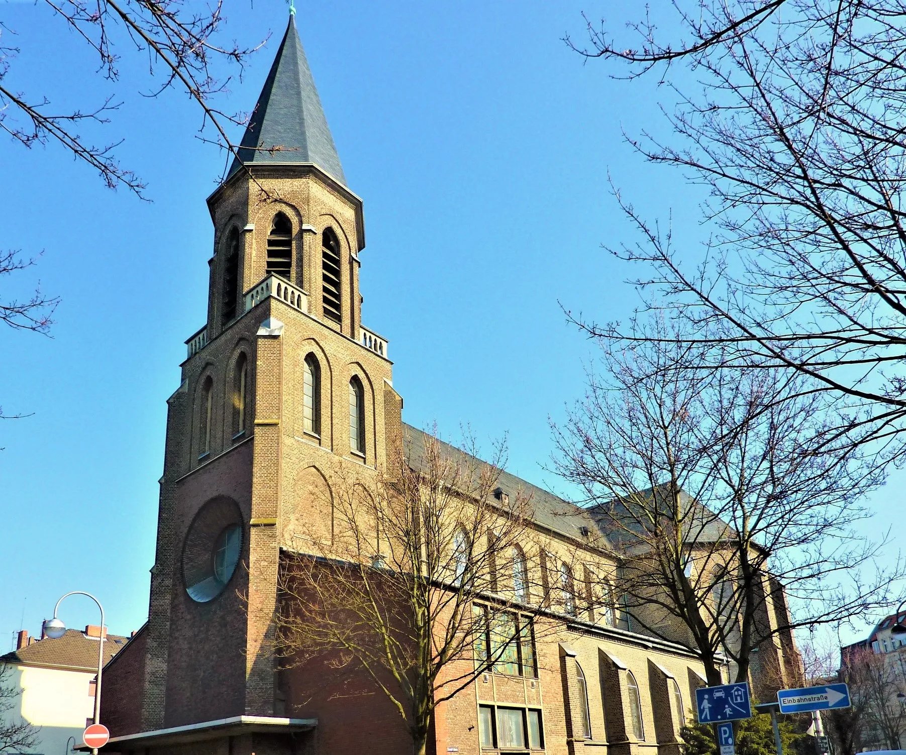
Heinzelmännchen FountainAttractionLocated in Cologne, the Heinzelmännchen Fountain is a beloved landmark surrounded by legends and folklore.
6 km
6 km
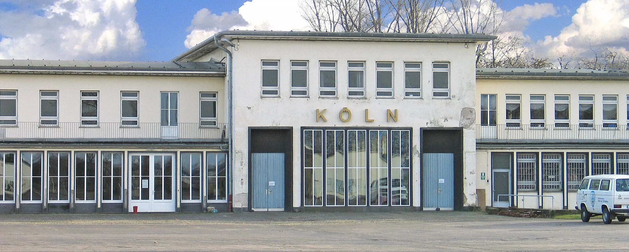
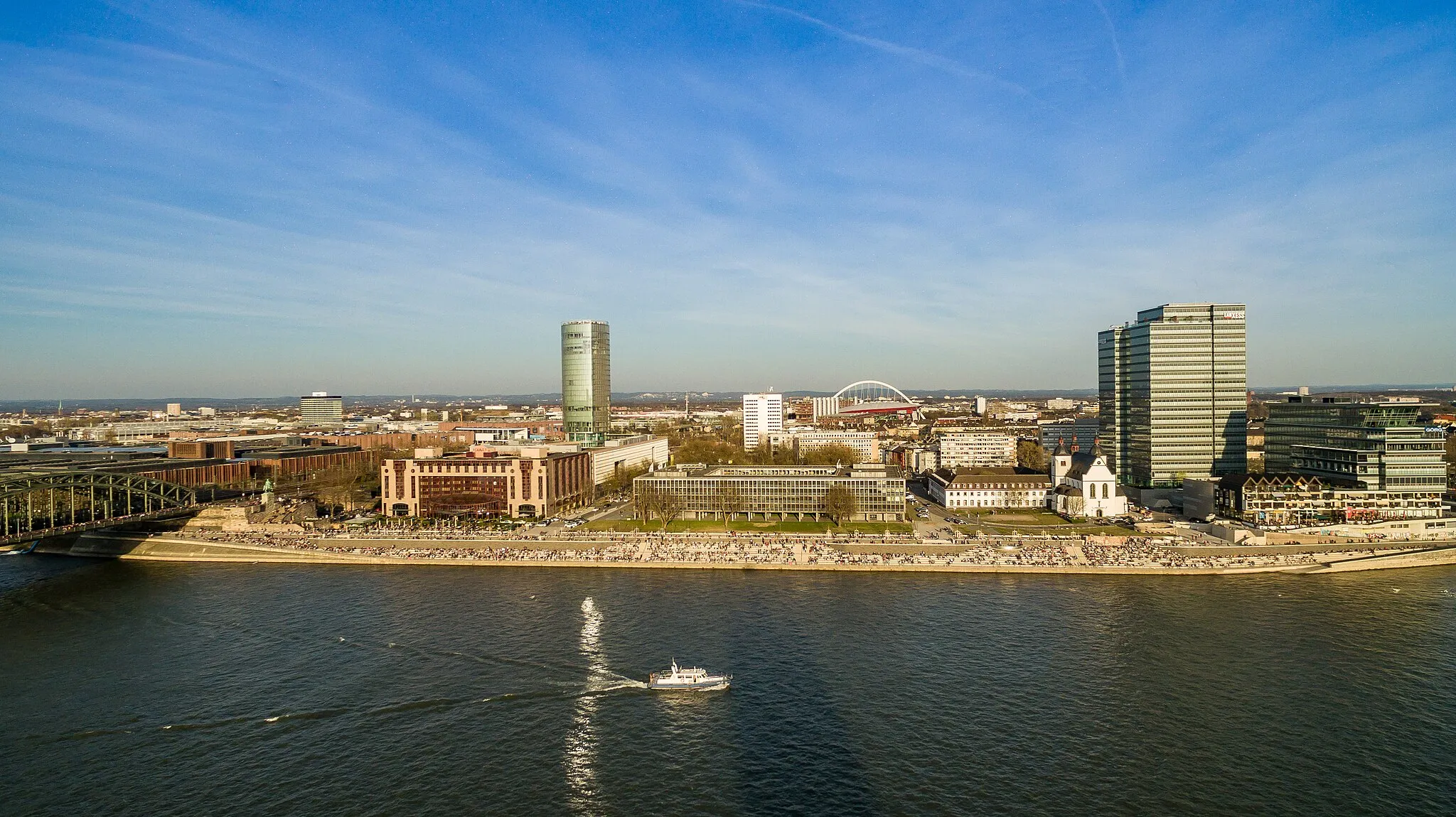
Köln TriangleViewpointThe Köln Triangle offers breathtaking panoramic views of Cologne and the Rhine River.
15 km
15 km
FinkenbergSub-urbEnjoy the beautiful scenery and panoramic views at Finkenberg.
32 km
32 km
EschmarSub-urbExperience the peaceful countryside and charming village of Eschmar.
43 km
43 km
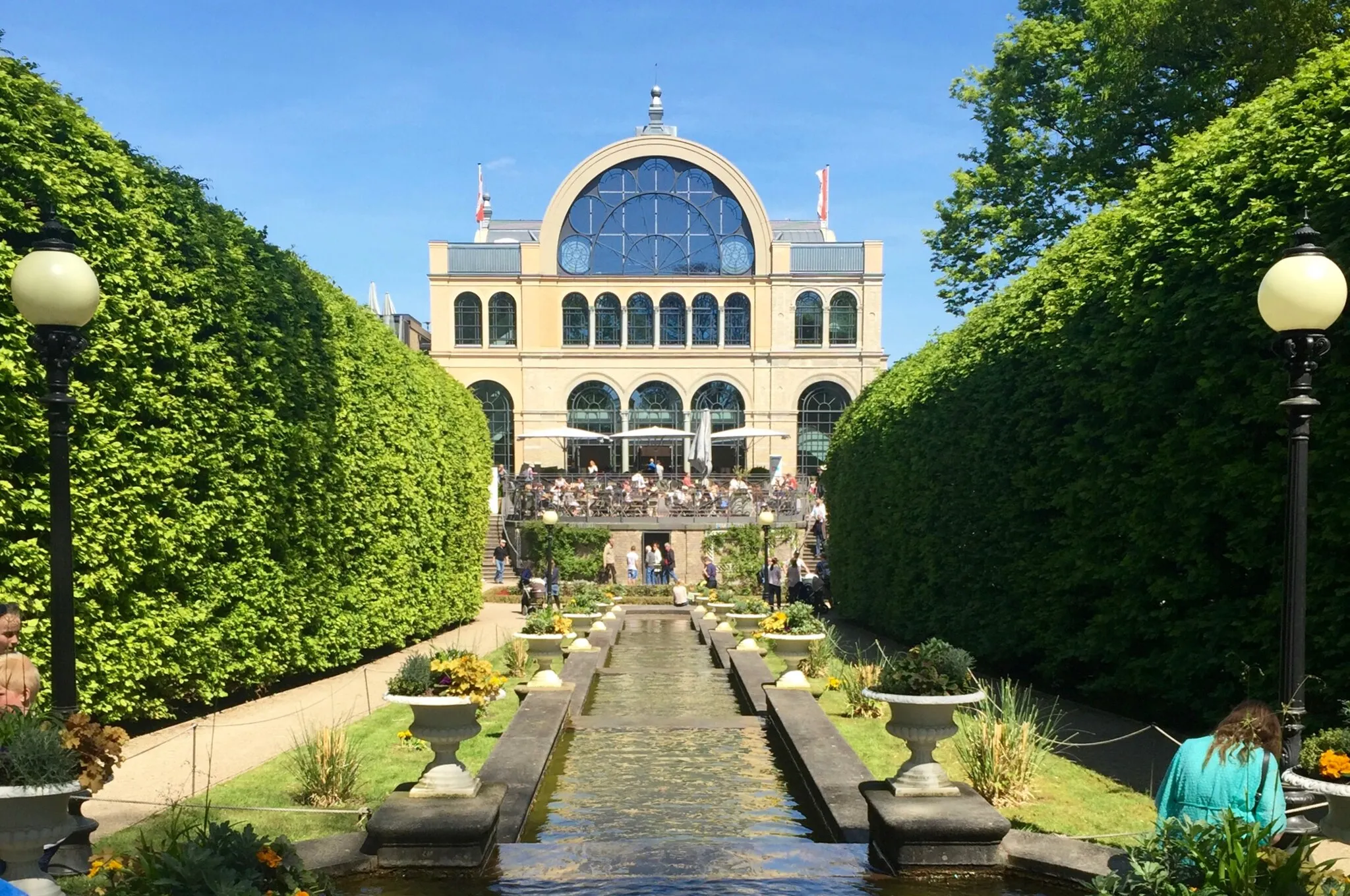
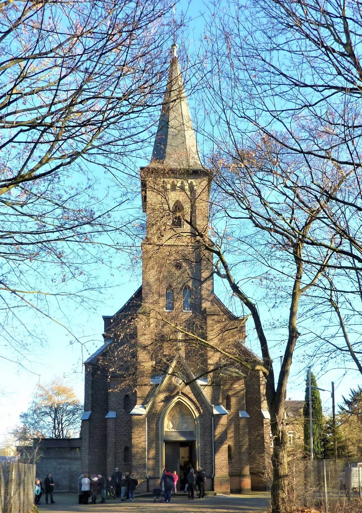
Basis-Bonn 1847AttractionVisit Basis-Bonn 1847, a historic and picturesque part of Bonn.
47 km
47 km
Schweizer AussichtViewpointStop by Schweizer Aussicht and enjoy stunning views of the surrounding landscape.
66 km
66 km
SüdbrückeViewpointCross the Südbrücke, a bridge offering beautiful views of the Rhine.
69 km
69 km
Pegel KölnAttractionPass by Pegel Köln, a historic measuring station on the Rhine.
77 km
77 km
BilderstöckchenSub-urbStart and end your journey in the vibrant neighborhood of Bilderstöckchen.
77 km
77 km
Finish: Locality centerBilderstöckchen: Cyclist-friendly locality in Köln, Germany
Cycling routes from Bilderstoeckchen:
Hidden Gems of Gravel Holweide and Beyond Neuehrenfeld Express Gravel Adventure in the Countryside Rural Escape: From Urban Köln to Picturesque Countryside Gravel Route to Bonn Gravel Adventure: From Urban to Rural Scenic Road Cycling to Alfter Exploring Gravel Paths to Sinnersdorf Scenic Road Cycling to Nörvenich
Cycling routes nearby: