Rural Escape: From Urban Köln to Picturesque Countryside
A road cycling route starting from Bilderstoeckchen
Embrace the beauty of rural surroundings on this road cycling escape
Map
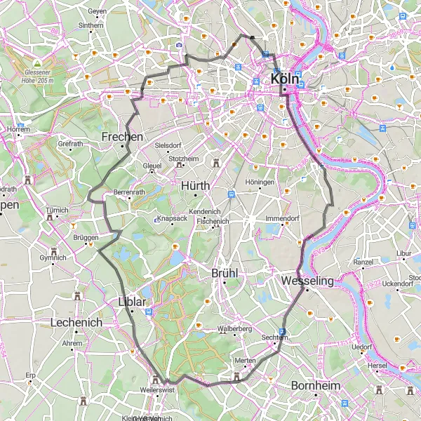
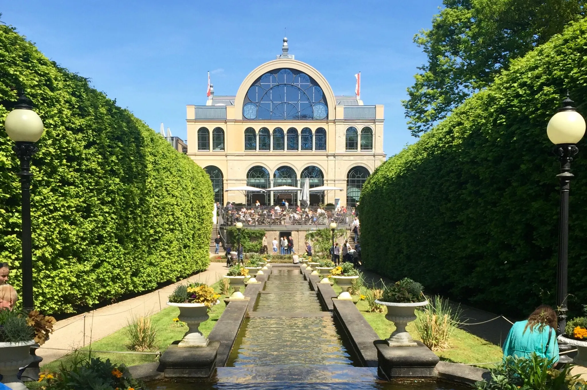
Experience the best of both worlds with this 70-kilometer road cycling route that takes you from urban Köln to the picturesque countryside. With an ascent of 229 meters, this moderately challenging route offers an ideal mix of aesthetics and exercise. Explore highlights such as Südbrücke, a magnificent bridge connecting two halves of the city, and Wilhelmshöhe, where you can enjoy stunning views and immerse yourself in nature. As you ride through charming towns like Frechen and Belvedere Ausblick, the captivating landscapes of Vogelsang will leave you enchanted. Prepare for a blend of urban exploration, historical sites, and scenic countryside vistas on this unforgettable journey.
road
70 km
229 m
Tough
Route profile
Highlights on the route
0 km
0 km
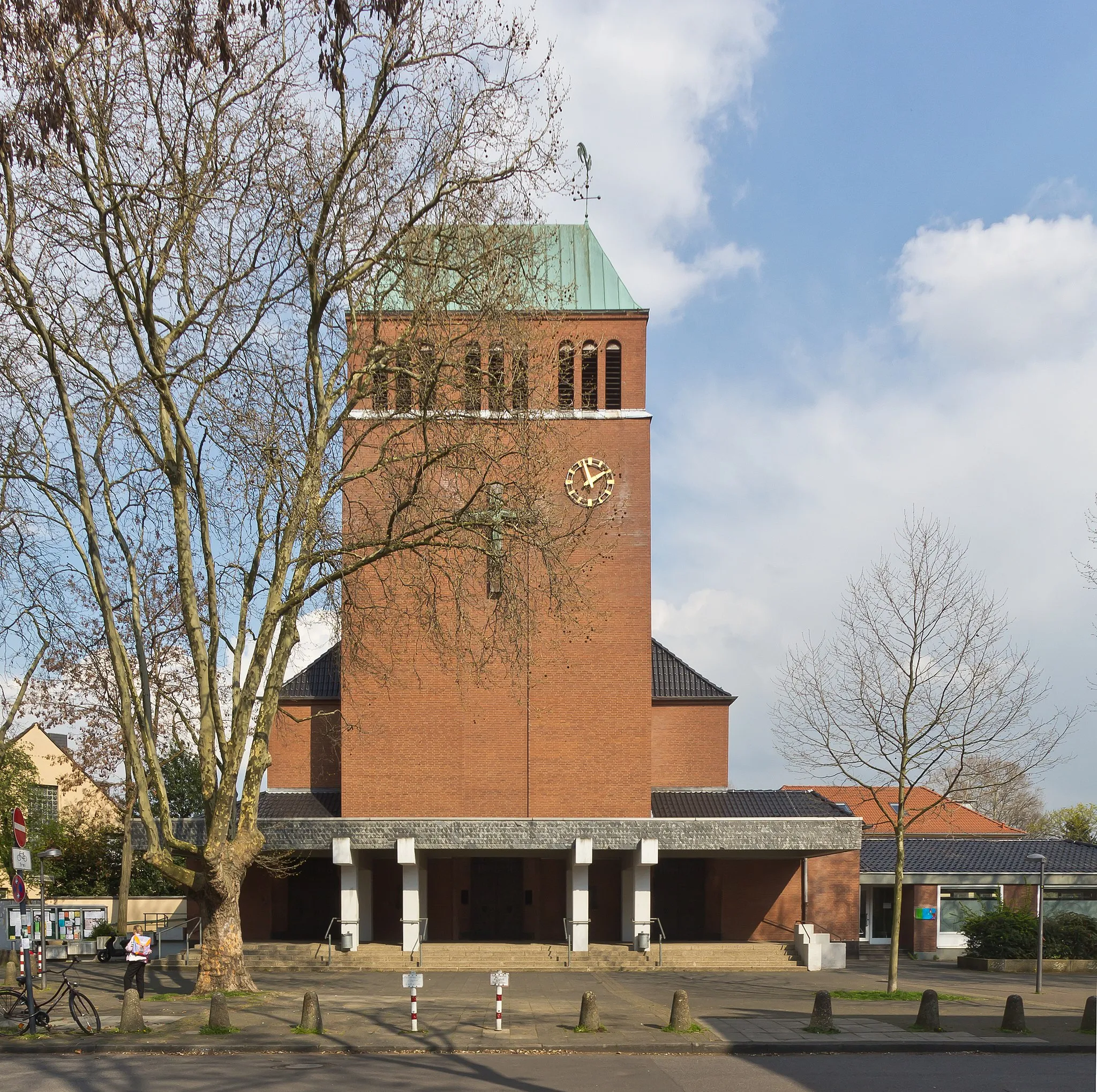
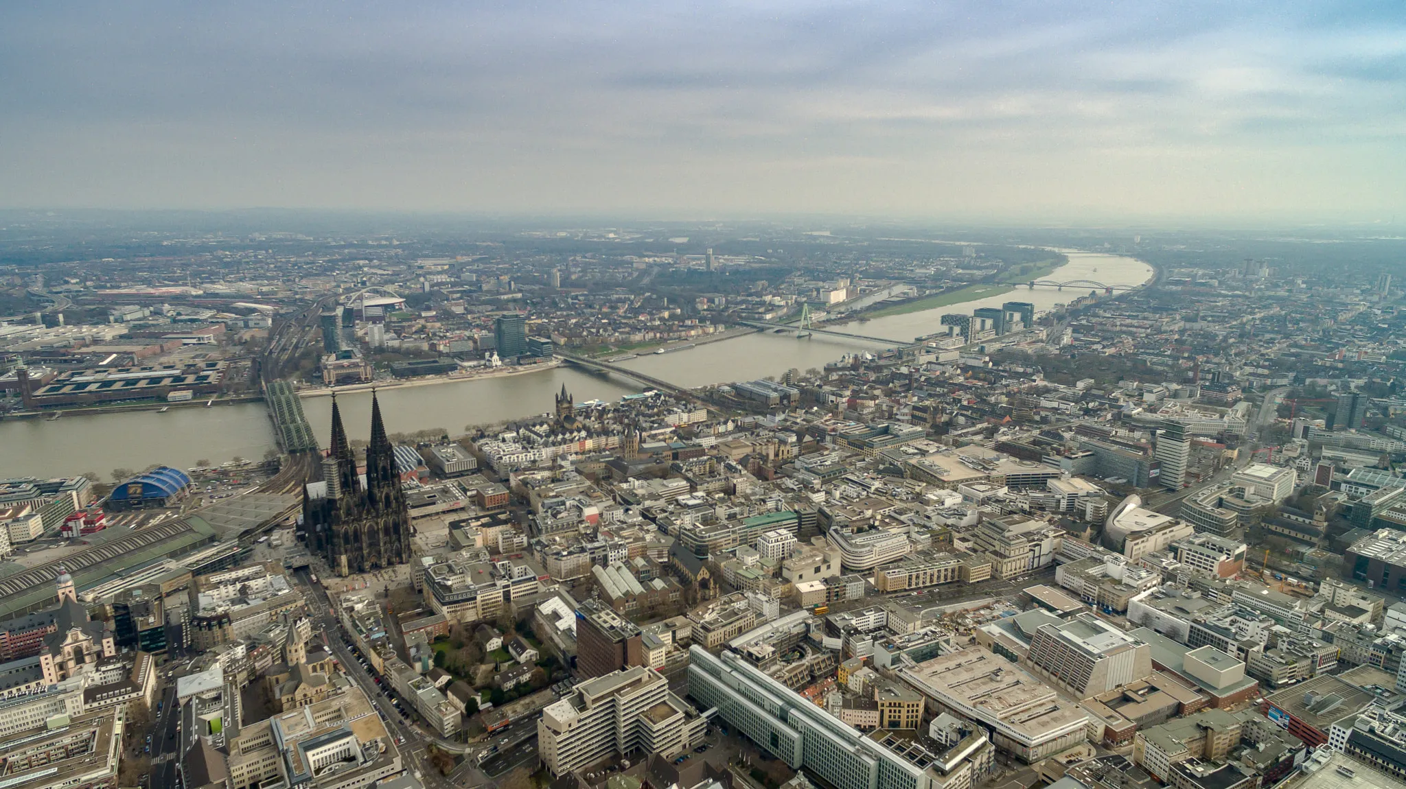
Start: Locality centerBilderstöckchen: Cyclist-friendly locality in Köln, Germany
Bilderstöckchen, located in Köln, Germany, is a cyclist-friendly locality with a variety of road and gravel cycling opportunities. The area features well-paved roads and dedicated cycling paths, making it easy and safe for cyclists to explore the region. While Bilderstöckchen may not have any famous cycling spots or well-known climbs nearby, it offers a pleasant and convenient cycling environment. Cyclists can enjoy exploring the city of Köln while also enjoying the scenic routes around Bilderstöckchen.0 km
0 km
BilderstöckchenSub-urbBilderstöckchen acts as a launching point for your road cycling adventure, providing easy access to the route and cyclist-friendly facilities.
8 km
8 km
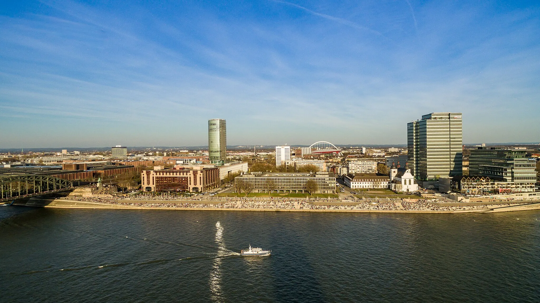
SüdbrückeViewpointSüdbrücke, a remarkable bridge spanning the Rhine River, offers impressive skyline views of Köln and serves as a symbol of architectural excellence.
20 km
20 km
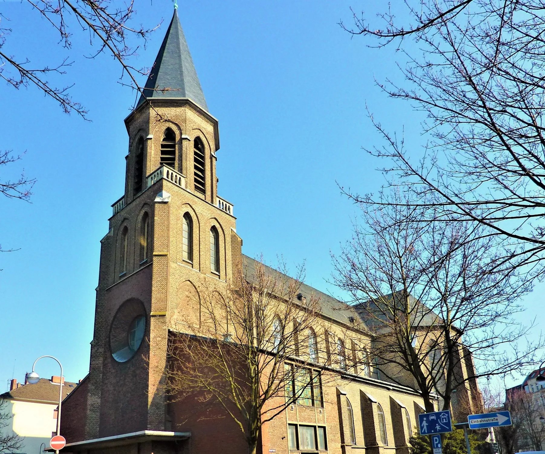
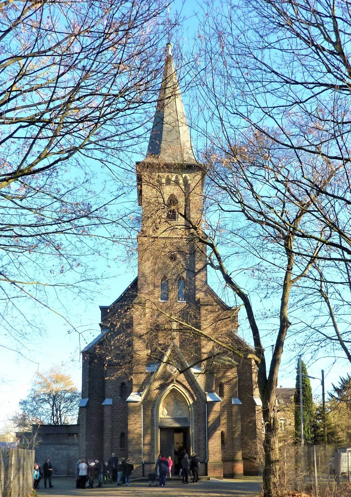
WesselingTownWesseling boasts a charming town center with historic buildings, pleasant squares, and cozy cafes, perfect for a mid-ride break.
29 km
29 km
RösbergCastleRösberg is a peaceful village serving as a gateway to the surrounding nature reserves, where you can appreciate the tranquility of the countryside.
44 km
44 km
KierdorfVillageKierdorf offers a blend of rural charm and natural beauty, with its rolling hills and sprawling farmlands creating a picturesque setting along the route.
52 km
52 km
Wilhelmshöhe155 mPeak ViewpointWilhelmshöhe rewards cyclists with panoramic views from its hilltop location, allowing you to fully appreciate the stunning landscapes stretching before you.
55 km
55 km
FrechenTownFrechen features a charming town center with half-timbered buildings and cobblestone streets, providing a glimpse into a bygone era.
64 km
64 km
Belvedere AusblickViewpointBelvedere Ausblick serves as an observation point, offering a breathtaking panorama of the surrounding countryside that will leave you awestruck.
66 km
66 km
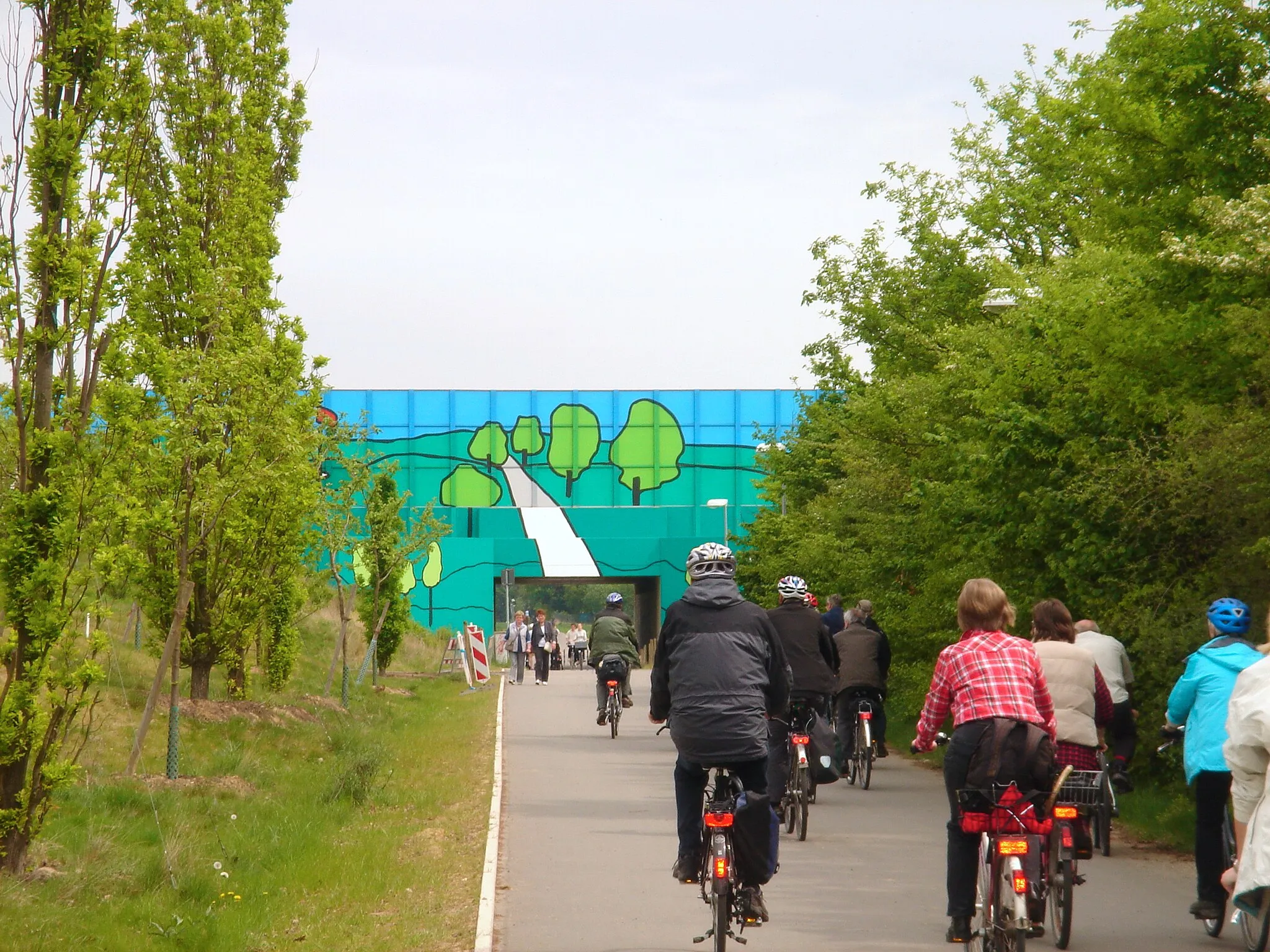
VogelsangSub-urbVogelsang captivates with its serene landscapes, verdant meadows, and idyllic charm, allowing you to fully immerse yourself in the tranquility of the countryside.
70 km
70 km
Finish: Locality centerBilderstöckchen: Cyclist-friendly locality in Köln, Germany
Cycling routes from Bilderstoeckchen:
Hidden Gems of Gravel Holweide and Beyond Neuehrenfeld Express Gravel Adventure in the Countryside Rural Escape: From Urban Köln to Picturesque Countryside Gravel Route to Bonn Gravel Adventure: From Urban to Rural Scenic Road Cycling to Alfter Exploring Gravel Paths to Sinnersdorf Scenic Road Cycling to Nörvenich
Cycling routes nearby: