Challenging Gravel Expedition to Finkenberg
A gravel cycling route starting from Kalk
Embark on a challenging gravel ride to conquer the heights of Finkenberg.
Map

Prepare to push your limits on this off-road adventure starting from Kalk. With an ascent of 715 meters and a distance of 82 kilometers, this route is perfect for experienced gravel cyclists. It boasts breathtaking highlights such as Höhenberg, Kleiner Steinberg, and the scenic viewpoint of Moltkeberg. This challenging yet rewarding route receives a difficulty rating of 5 on the scale. With an epicness score of 4, the Finkenberg expedition promises a thrilling journey for hardcore gravel enthusiasts.
gravel
82 km
715 m
Savage
Route profile
Highlights on the route
0 km
0 km
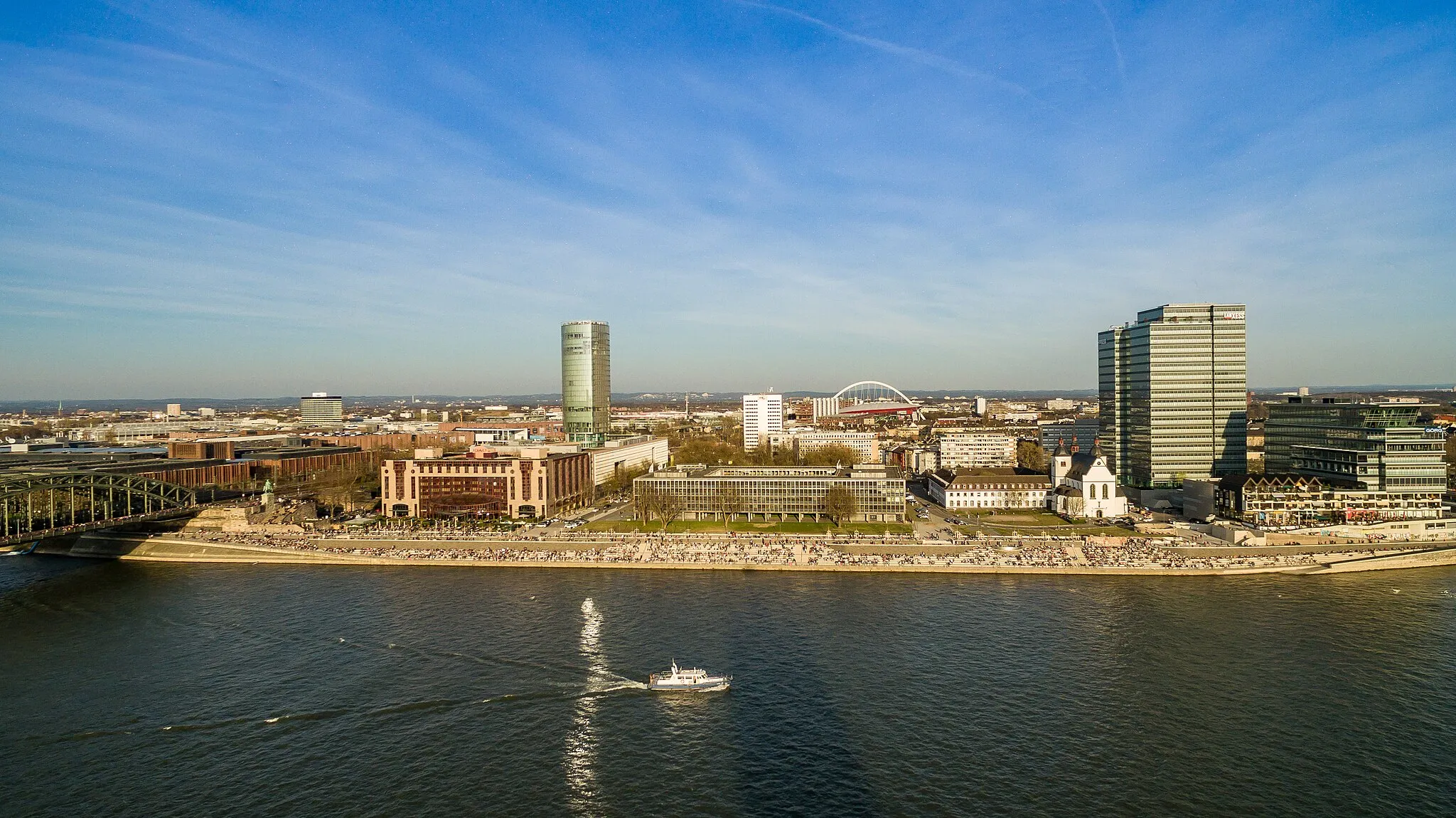
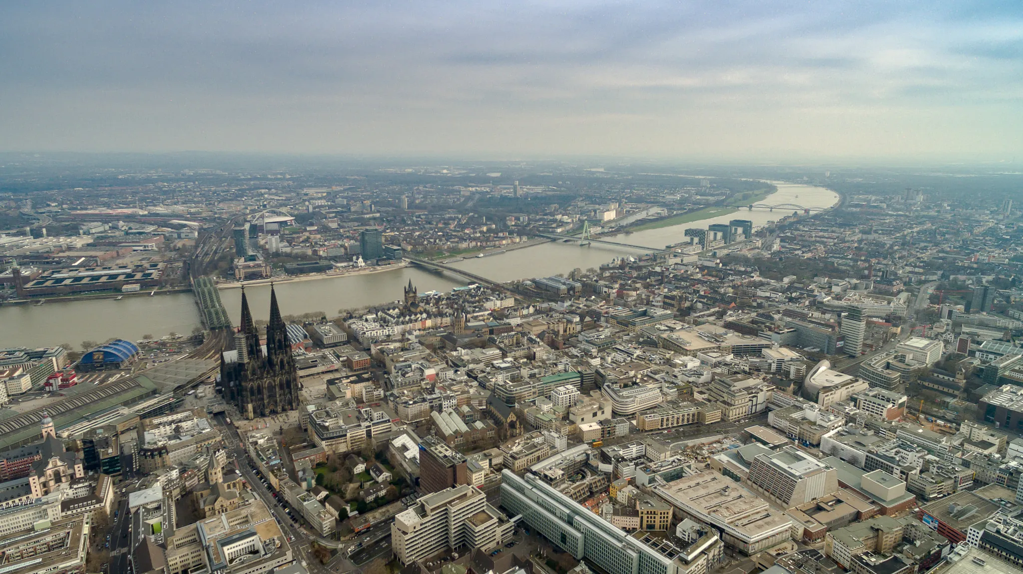
Start: Locality centerKalk: Bike-friendly routes in Köln.
Kalk is a locality located in the Köln region of Germany. From a cyclist's perspective, Kalk offers a mix of urban and rural cycling routes. The area features well-developed cycling infrastructure, making it convenient and safe for cyclists to navigate. However, there are no famous cycling-related spots or well-known climbs nearby. Kalk is a suitable option for cyclists looking to explore the region while enjoying a combination of city and countryside cycling.1 km
1 km
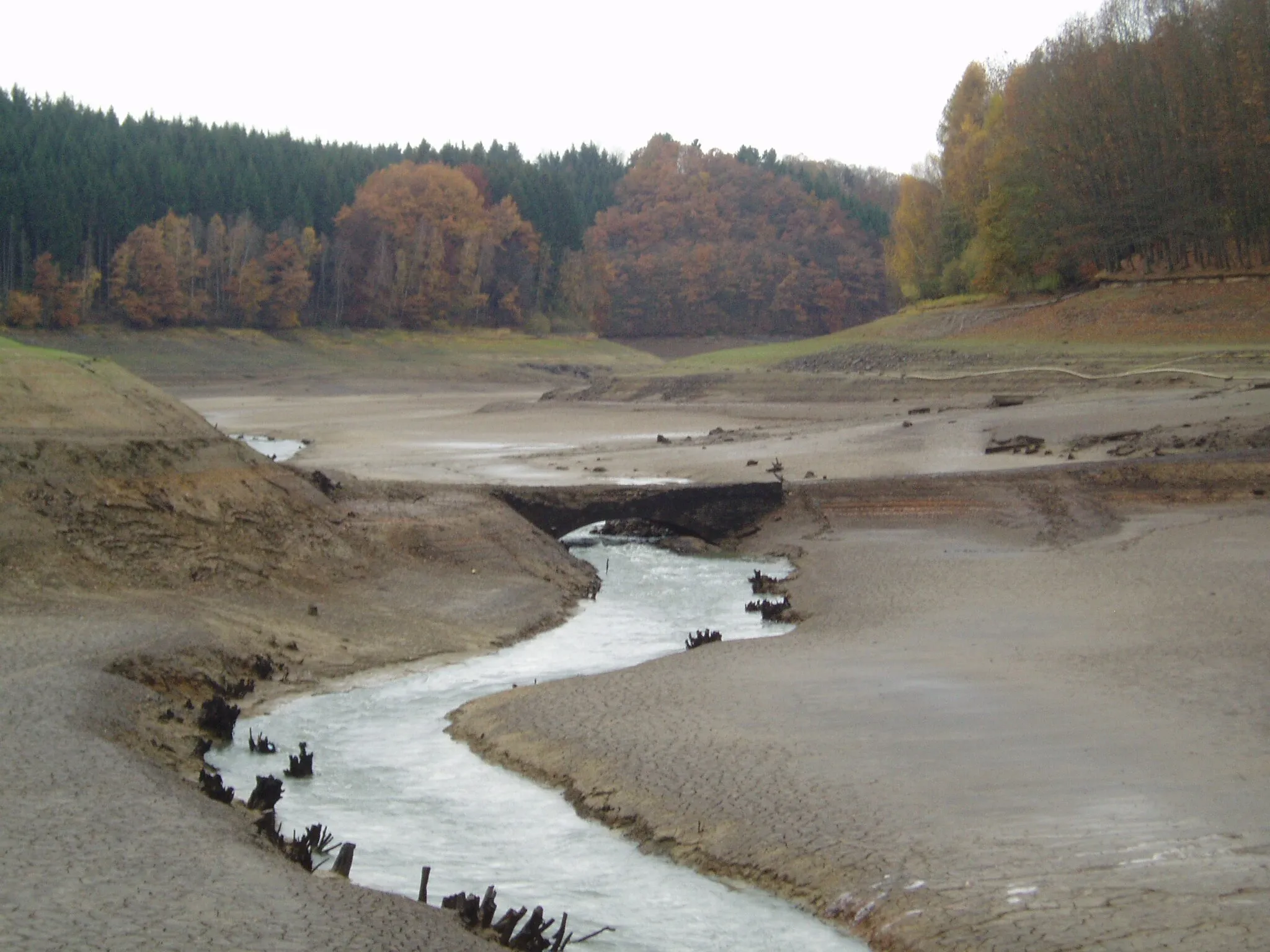
HöhenbergSub-urbHöhenberg offers a tranquil starting point with serene nature and stunning views.
13 km
13 km
Kleiner Steinberg97 mPeakGet your adrenaline rushing as you ascend Kleiner Steinberg, a challenging off-road climb.
20 km
20 km
RösrathTownRide through Rösrath and immerse yourself in the beauty of its surrounding landscapes.
24 km
24 km
Hähnen128 mPeakNavigate your way to the top of Hähnen and relish the panoramic vistas that await you.
31 km
31 km
DeesemHamletIndulge in breathtaking panoramic views at Deesem, a noteworthy viewpoint on this expedition.
44 km
44 km
Steimelskopf198 mPeakSteimelskopf provides a challenging section of technical off-road terrain for experienced riders.
59 km
59 km
Moltkeberg119 mPeakThe breathtaking Moltkeberg viewpoint offers a unique perspective of the surrounding landscape.
73 km
73 km
FinkenbergSub-urbMake a stop at Finkenberg, a legendary peak renowned amongst gravel cycling enthusiasts.
82 km
82 km
KalkSub-urbKalk rewards you at the end of your journey, offering a sense of achievement for conquering the challenging route.
82 km
82 km
Finish: Locality centerKalk: Bike-friendly routes in Köln.
Cycling routes from Kalk:
Gravel Loop via Deutz and Dormagen Kalk-Untereschbach Round Trip Kalk-Bedburg Round Trip Road Cycling Excursion to Stommeln Challenging Gravel Expedition to Finkenberg Road Cycling Challenge to Hoffnungsthal Gravel Adventure to Kommandeursburg Kalk-Schloss Gracht Gravel Route Kalk-Merheim Gravel Route Kalk-Paffrath Round Trip
Cycling routes nearby: