Road Cycling Challenge to Hoffnungsthal
A road cycling route starting from Kalk
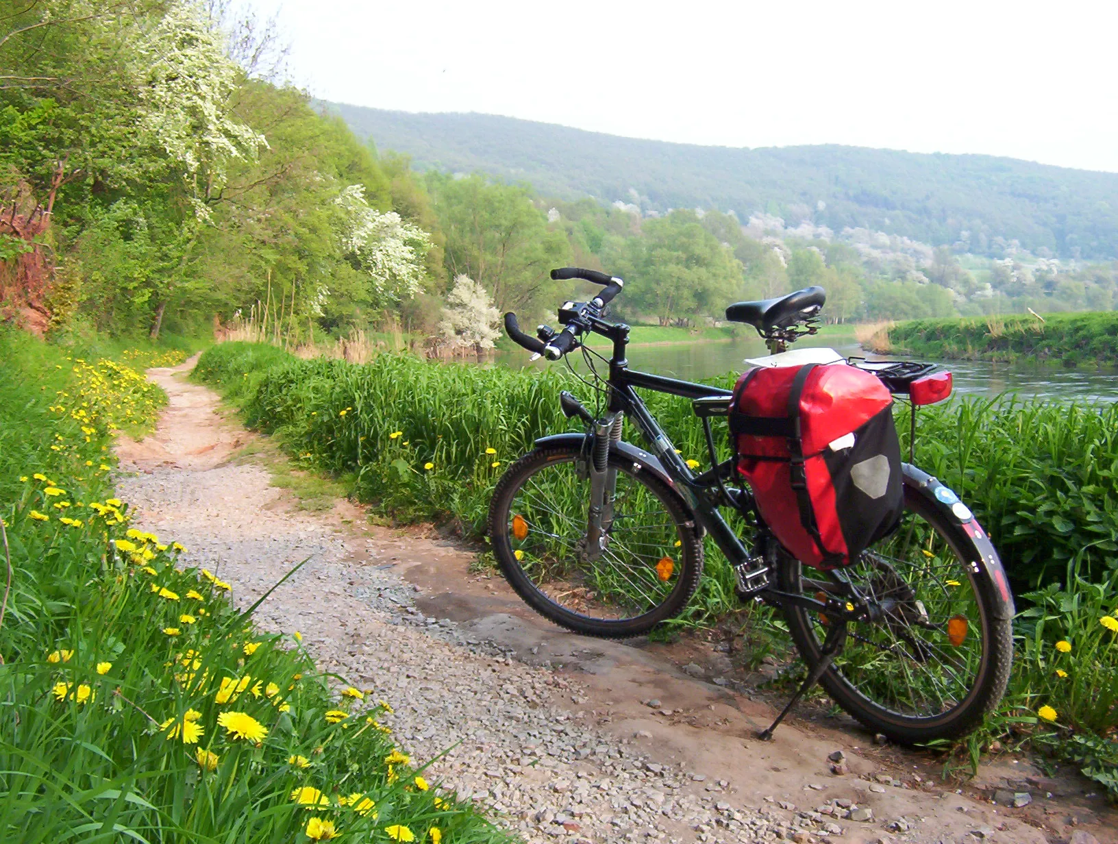
Challenge yourself with a thrilling road cycling route, including the iconic climb of Hoffnungsthal.
Map
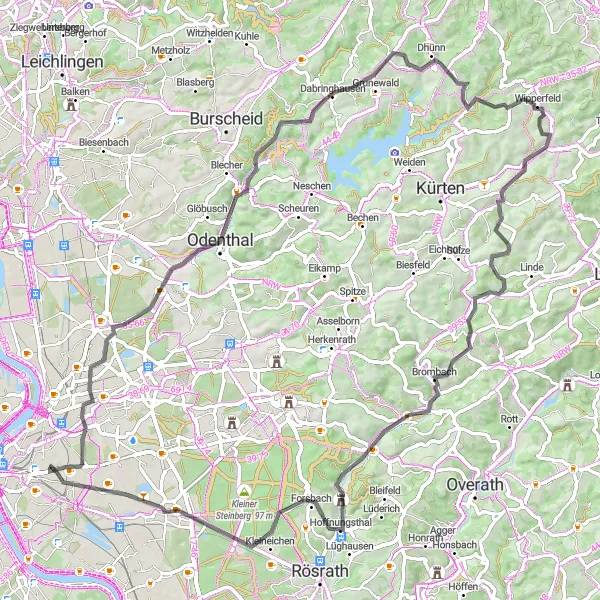
Embark on an exciting road cycling challenge from Kalk, covering a distance of 83 kilometers with a total ascent of 889 meters. This challenging route will test your endurance, making it suitable for experienced cyclists seeking to push their limits. Highlights of the journey include Schildgen, Hoheberg, and the legendary climb of Hoffnungsthal. This route receives a difficulty rating of 4, indicating its demanding nature. With a high epicness factor of 4, this road cycling challenge promises an unforgettable experience for avid cyclists.
road
83 km
889 m
Tough
Route profile
Highlights on the route
0 km
0 km
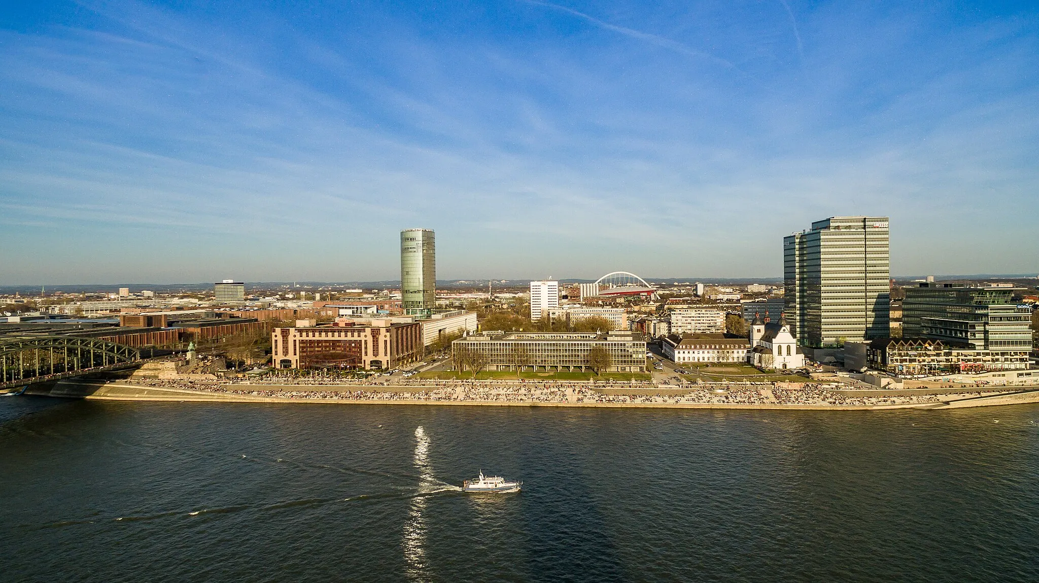
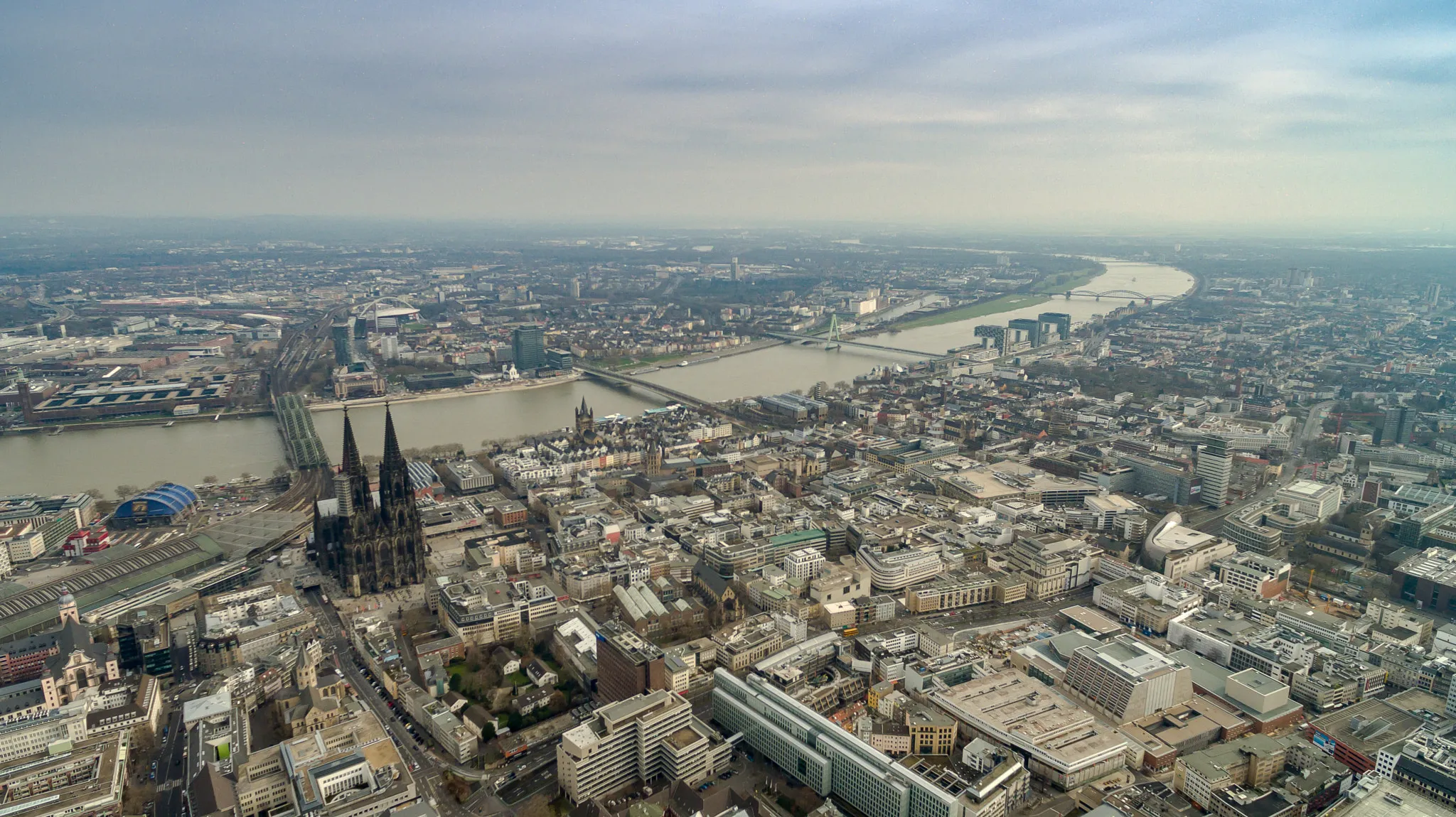
Start: Locality centerKalk: Bike-friendly routes in Köln.
Kalk is a locality located in the Köln region of Germany. From a cyclist's perspective, Kalk offers a mix of urban and rural cycling routes. The area features well-developed cycling infrastructure, making it convenient and safe for cyclists to navigate. However, there are no famous cycling-related spots or well-known climbs nearby. Kalk is a suitable option for cyclists looking to explore the region while enjoying a combination of city and countryside cycling.12 km
12 km
SchildgenSub-urbSchildgen presents a picturesque neighborhood with quaint houses and lush greenery.
17 km
17 km
Hoheberg185 mPeakFeel the rush as you ascend the challenging climb of Hoheberg, surrounded by beautiful landscapes.
39 km
39 km
BirnbäumchenViewpointTake a break at Birnbäumchen and enjoy the charming countryside atmosphere.
41 km
41 km
BuchholzHamletAdmire the scenic beauty as you conquer the demanding ascent of Buchholz.
49 km
49 km
Wiesenberg238 mPeakWiesenberg offers a serene and peaceful setting, perfect for soothing your mind and body.
67 km
67 km
HoffnungsthalVillageHoffnungsthal, a legendary climb, challenges even the most skilled cyclists with its steep gradients.
71 km
71 km
Mergelsberg136 mPeakMergelsberg showcases stunning vistas and rewards your efforts with awe-inspiring panoramic views.
82 km
82 km
VingstSub-urbVingst presents a vibrant neighborhood filled with vibrant local culture and artistic influences.
83 km
83 km
Kalkberg79 mPeakKalkberg marks the end of your challenging adventure, providing a sense of accomplishment and fulfillment.
83 km
83 km
Finish: Locality centerKalk: Bike-friendly routes in Köln.
Cycling routes from Kalk:
Gravel Loop via Deutz and Dormagen Kalk-Untereschbach Round Trip Kalk-Bedburg Round Trip Road Cycling Excursion to Stommeln Challenging Gravel Expedition to Finkenberg Road Cycling Challenge to Hoffnungsthal Gravel Adventure to Kommandeursburg Kalk-Schloss Gracht Gravel Route Kalk-Merheim Gravel Route Kalk-Paffrath Round Trip
Cycling routes nearby: