Discover Niederkassel and More
A gravel cycling route starting from Niederkassel
Embark on a gravel adventure and explore the highlights along the route
Map
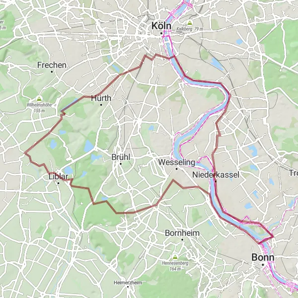
This distinctive gravel route starts near Niederkassel and takes you on an exciting ride through various highlight locations. With a total distance of 83 kilometers and an ascent of 308 meters, this route offers a mix of scenic beauty and cultural sites. The difficulty level is moderate, suitable for well-trained amateurs. Along the way, you'll encounter picturesque views, historic landmarks, and charming towns.
gravel
83 km
308 m
Tough
Route profile
Highlights on the route
0 km
0 km
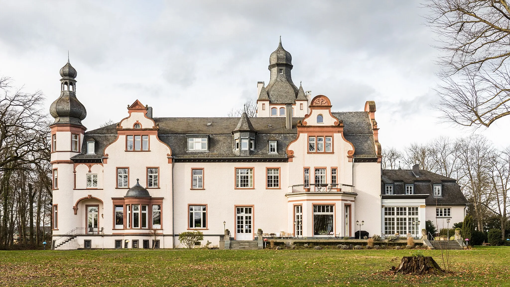
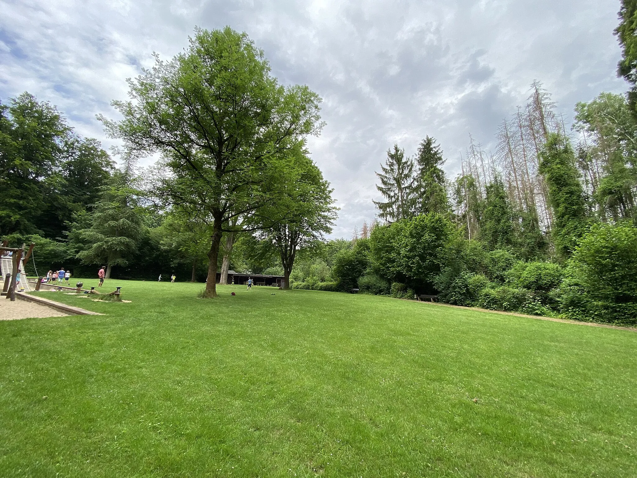
Start: Niederkassel City centerNiederkassel: Niederkassel: Pleasant river-side routes for leisurely rides.
Niederkassel, located in Köln, Germany, is a decent locality for cycling options. With a mix of quiet country roads and some gravel paths, it caters to both road and gravel cyclists. While Niederkassel doesn't have any famous cycling-related spots or climbs, its proximity to the Rhine River provides pleasant river-side routes for leisurely rides. Overall, Niederkassel ranks as a 3 in terms of cycling-friendly areas.0 km
0 km
NiederkasselTownNiederkassel is the starting point of your journey and is known for its beautiful riverside views.
16 km
16 km
HerselVillageHersel is a quaint village that offers a peaceful atmosphere and scenic surroundings.
19 km
19 km
Schweizer AussichtViewpointSchweizer Aussicht is a lookout point that provides stunning views of the surrounding landscapes.
30 km
30 km
Schneeberg150 mPeakSchneeberg is a historical site with archaeological remains and offers an interesting glimpse into the past.
32 km
32 km
Black MambaAttractionBlack Mamba is a challenging ascent that tests your climbing skills and rewards you with incredible panoramic vistas.
55 km
55 km
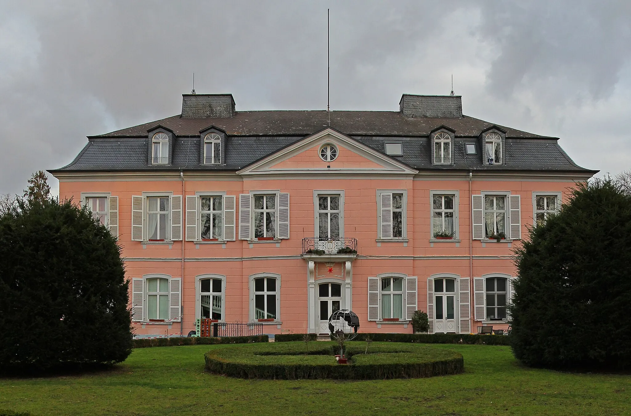
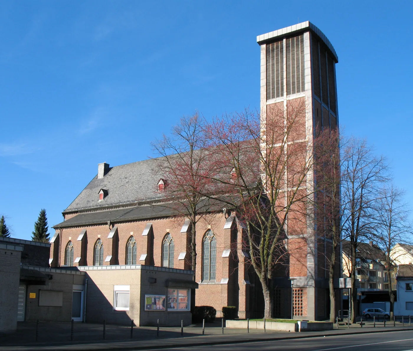
HürthTownHürth is a charming town known for its vibrant culture and picturesque architecture.
65 km
65 km
BayenthalSub-urbBayenthal is a neighborhood with a rich history and offers a blend of urban and green areas.
65 km
65 km
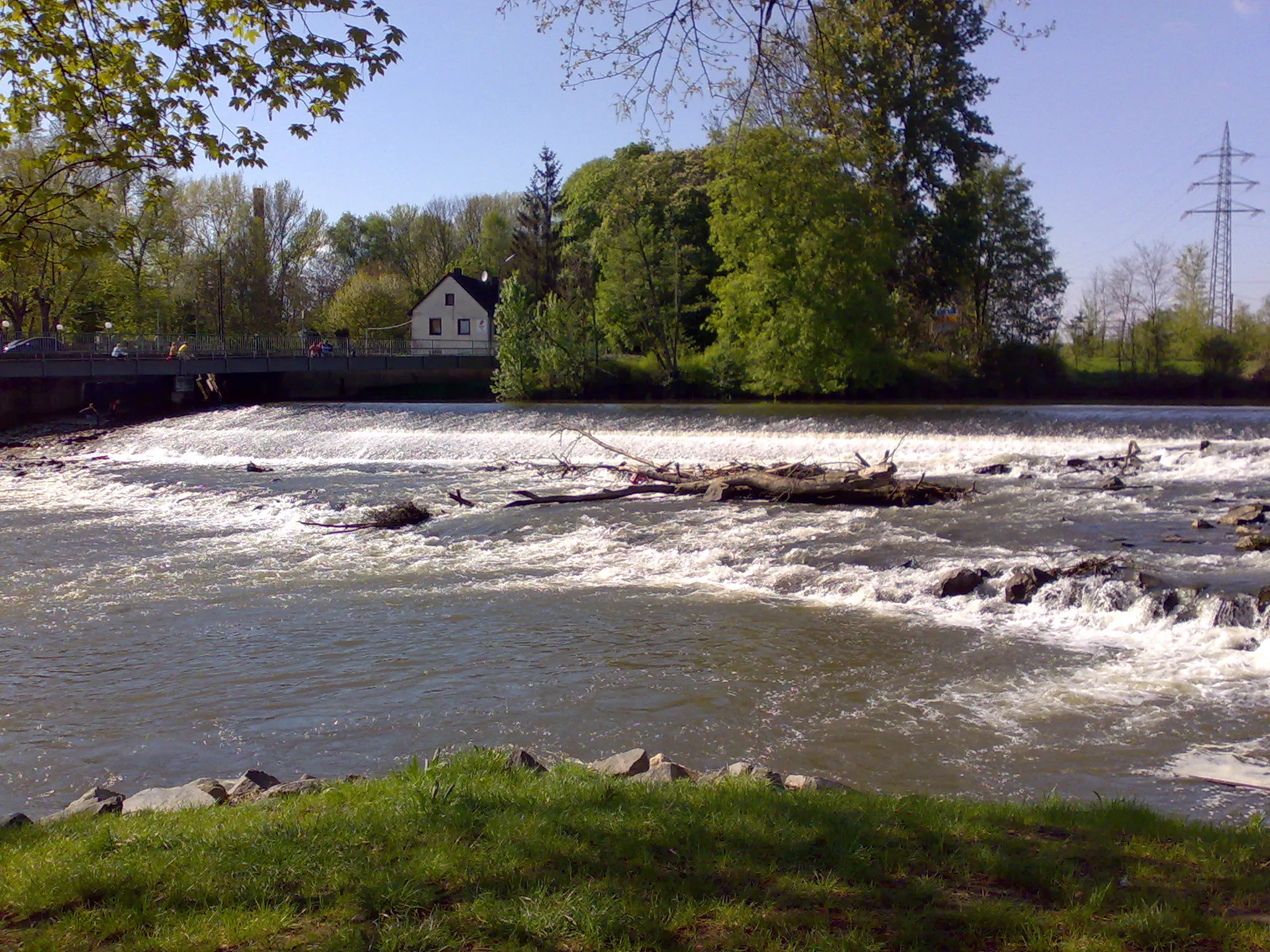
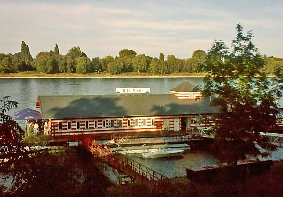
SüdbrückeViewpointSüdbrücke is a bridge with scenic views over the Rhine River, perfect for a short break and some photographs.
73 km
73 km
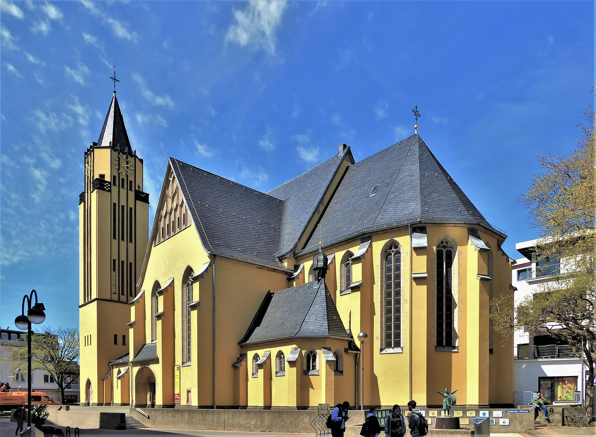
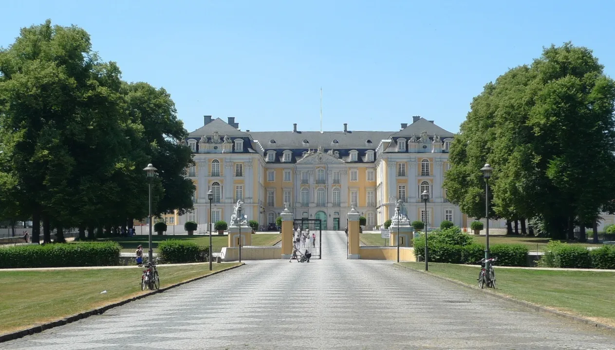
PorzSub-urbPorz is a district with a lively atmosphere and several historical sites to explore.
80 km
80 km
KirschblütenalleeAttractionKirschblütenallee is a beautiful avenue lined with cherry blossoms, creating a magical experience during the blooming season.
83 km
83 km
Finish: Niederkassel City centerNiederkassel: Niederkassel: Pleasant river-side routes for leisurely rides.
Cycling routes nearby: