The Gravel Adventure in Odenthal
A gravel cycling route starting from Odenthal
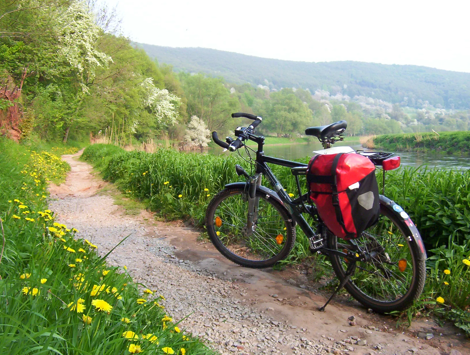
Experience off-road cycling bliss on the gravel roads near Odenthal
Map
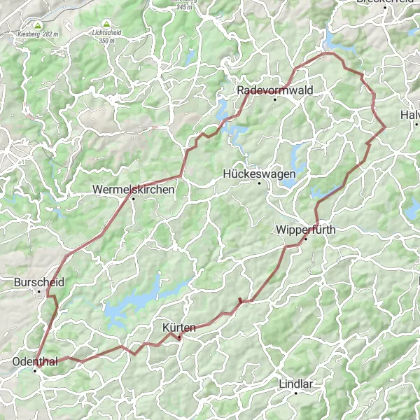
Get an adrenaline rush as you explore the gravel roads near Odenthal. This off-road adventure covers a distance of 83km with an elevation gain of 1212m, making it suitable for intermediate to advanced gravel riders. Immerse yourself in the natural beauty of the surrounding landscapes and discover hidden gems along the way.
gravel
83 km
1212 m
Tough
Route profile
Highlights on the route
0 km
0 km
Start: Odenthal City centerOdenthal: Discovering the Natural Beauty of Odenthal on Two Wheels
Odenthal is a locality in the Köln region of Germany. From a cyclist's perspective, Odenthal offers a mix of road and gravel cycling routes, with scenic landscapes and charming villages to discover. The area is known for its beautiful countryside, featuring rolling hills and picturesque views. One of the popular cycling-related spots nearby is the Bergisches Land region, which offers stunning nature parks and challenging climbs. Overall, Odenthal is a great destination for cyclists looking for a combination of scenic beauty and varied terrain.2 km
2 km
Hoheberg185 mPeakDiscover Hoheberg, a charming village surrounded by rolling hills and picturesque landscapes.
7 km
7 km
BurscheidTownVisit Burscheid and experience the tranquility of this idyllic countryside town.
16 km
16 km
WermelskirchenTownChallenge yourself on the gravel roads of Wermelskirchen, known for their rugged beauty.
20 km
20 km
Rattenberg345 mPeakStop by the quaint village of Rattenberg and immerse yourself in its peaceful ambiance.
31 km
31 km
RadevormwaldTownExperience the beauty of Radevormwald and explore its charming blend of nature and history.
40 km
40 km
Nesselberg386 mPeakDiscover the Nesselberg and enjoy the panoramic views it offers of the surrounding countryside.
56 km
56 km
WipperfürthTownPass through Wipperfürth and marvel at its historic architecture and tranquil setting.
60 km
60 km
Gumpe272 mPeakVisit Gumpe and witness the grandeur of its cascading waterfall in a serene natural setting.
69 km
69 km
KürtenTownExplore Kürten and discover its enchanting blend of traditional charm and natural beauty.
81 km
81 km
Klauberg185 mPeakMake a detour to Klauberg, a small village known for its peaceful atmosphere and scenic surroundings.
83 km
83 km
Finish: Odenthal City centerOdenthal: Discovering the Natural Beauty of Odenthal on Two Wheels
Cycling routes nearby: