The Scenic Witzhelden Road Adventure
A road cycling route starting from Odenthal
Conquer the challenging Witzhelden ascent in this scenic road route
Map
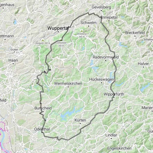
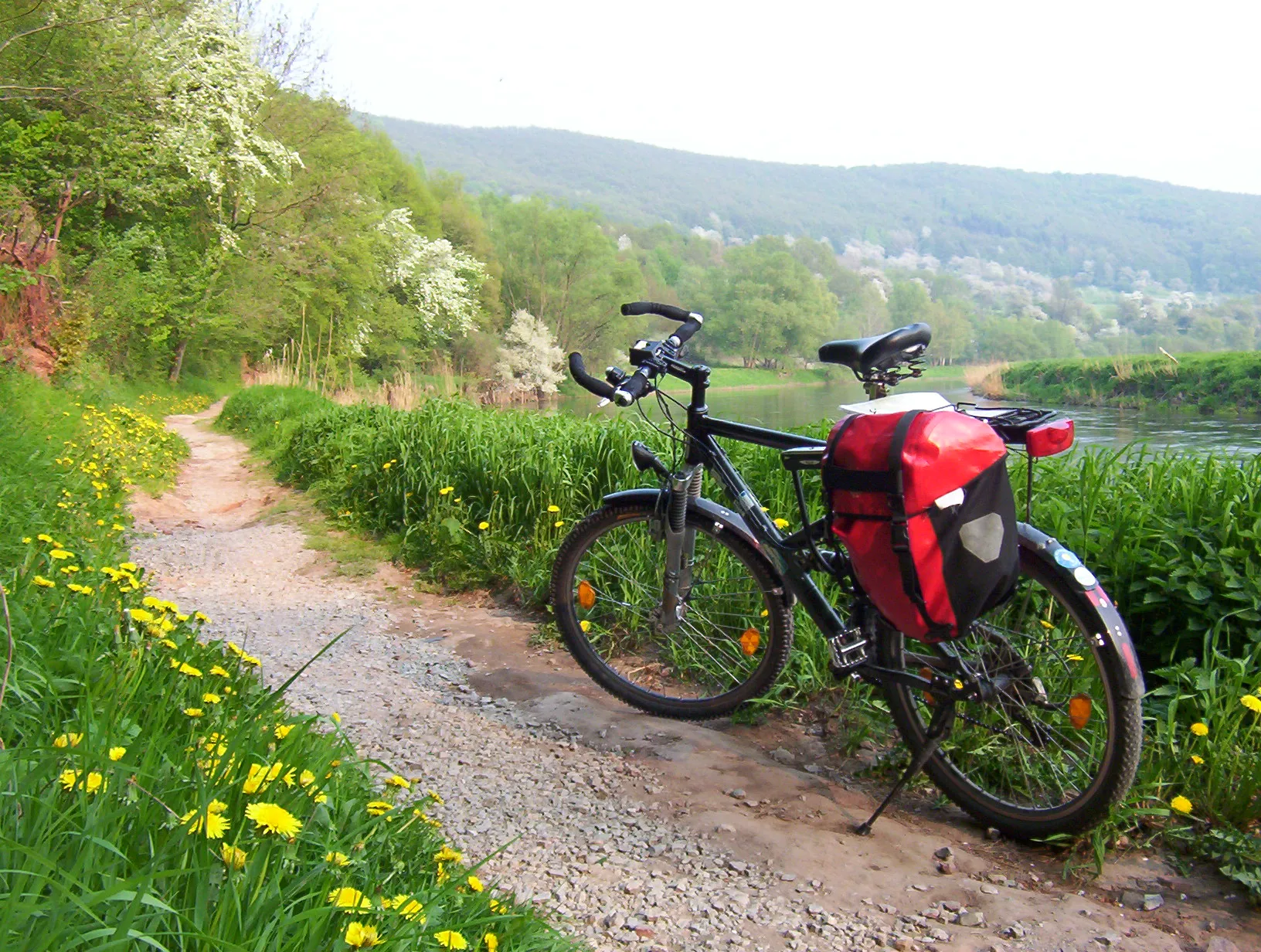
Embark on an adventurous road cycling journey from Odenthal to Witzhelden, tackling the challenging ascent along the way. This 110km route offers breathtaking views of the countryside and takes you through charming villages and serene landscapes. With an elevation gain of 1629m, this route is suitable for experienced riders looking for a challenge.
road
110 km
1629 m
Tough
Route profile
Highlights on the route
0 km
0 km
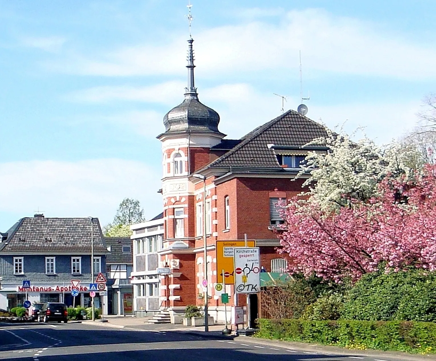
Start: Odenthal City centerOdenthal: Discovering the Natural Beauty of Odenthal on Two Wheels
Odenthal is a locality in the Köln region of Germany. From a cyclist's perspective, Odenthal offers a mix of road and gravel cycling routes, with scenic landscapes and charming villages to discover. The area is known for its beautiful countryside, featuring rolling hills and picturesque views. One of the popular cycling-related spots nearby is the Bergisches Land region, which offers stunning nature parks and challenging climbs. Overall, Odenthal is a great destination for cyclists looking for a combination of scenic beauty and varied terrain.0 km
0 km
OdenthalTownStart and finish your ride in Odenthal, a picturesque village nestled amidst serene surroundings.
2 km
2 km
Hoheberg185 mPeakExplore Hoheberg and discover its impressive ancient ruins and captivating history.
12 km
12 km
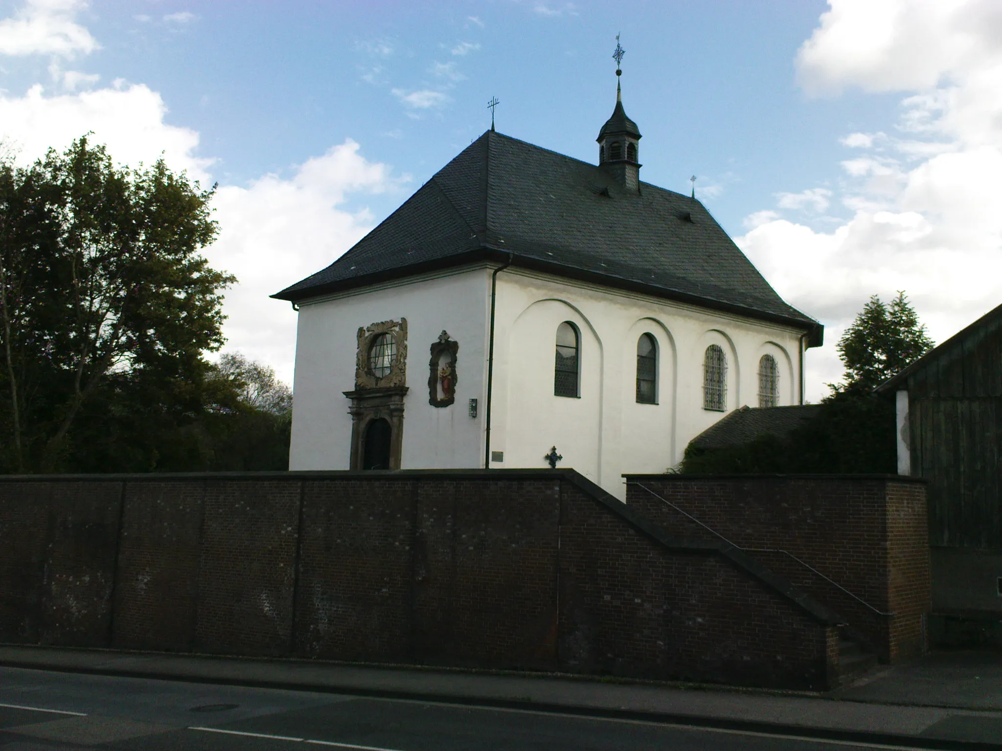
WitzheldenVillageVisit Witzhelden and marvel at the stunning panoramic views from the Witzhelden ascent.
24 km
24 km
DiederichstempelViewpointExperience the beauty of Diederichstempel, a tranquil spot surrounded by lush greenery.
32 km
32 km
CronenfeldHamletStop by the enchanting village of Cronenfeld and soak in its traditional charm.
40 km
40 km
ToelleturmViewpointMake a pitstop at the Toelleturm, a historic tower offering panoramic views of the surrounding landscapes.
54 km
54 km
Zuckerberg290 mPeakEnjoy the tranquility of Zuckerburg, a picturesque town known for its beautiful nature trails.
63 km
63 km
ÜmminghausenHamletPass through Ümminghausen, a quaint village famous for its historic landmarks and medieval architecture.
80 km
80 km
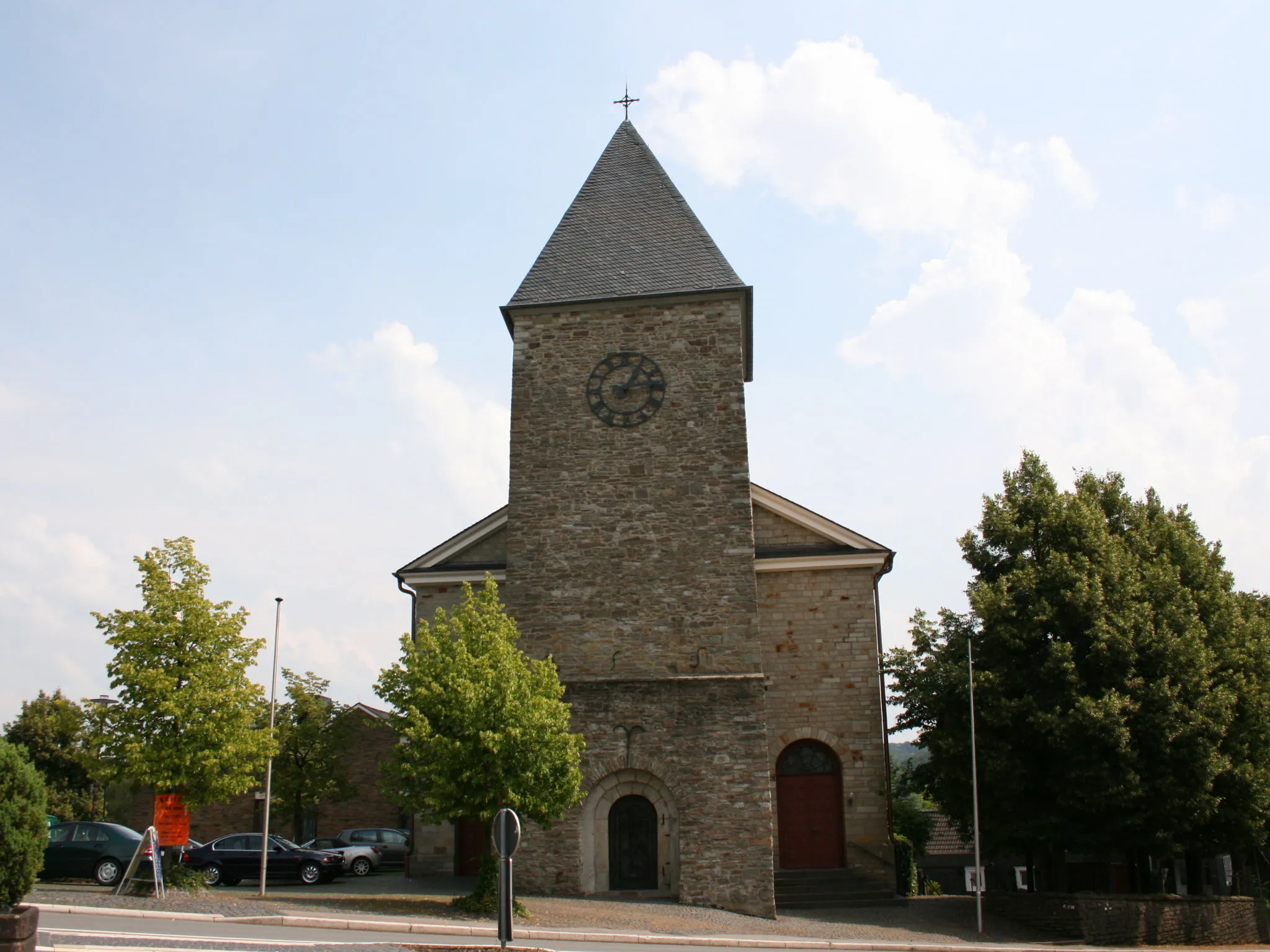
WipperfürthTownDiscover Wipperfürth, a charming town with narrow streets, cobblestone paths, and a rich cultural heritage.
84 km
84 km
Gumpe272 mPeakMarvel at the Gumpe waterfall, a hidden gem amidst stunning natural beauty.
92 km
92 km
Löhberg234 mPeakHead to Löhberg and embrace the tranquility of this small town surrounded by lush green landscapes.
92 km
92 km
OlpeVillageExplore Olpe and admire its beautiful architecture and scenic beauty.
104 km
104 km
EikampVillageMake a detour to Eikamp and discover its charming countryside and traditional buildings.
110 km
110 km
Finish: Odenthal City centerOdenthal: Discovering the Natural Beauty of Odenthal on Two Wheels
Cycling routes nearby: