The Odenthal-Hoheberg Road Loop
A road cycling route starting from Odenthal
Ride through meadows and forests to Hoheberg
Map
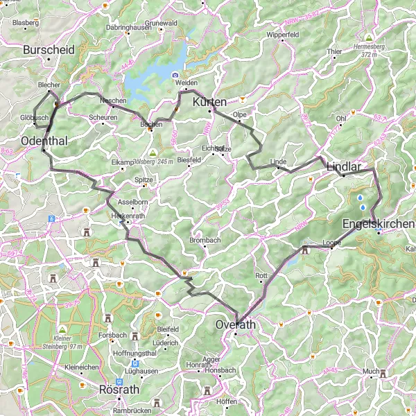
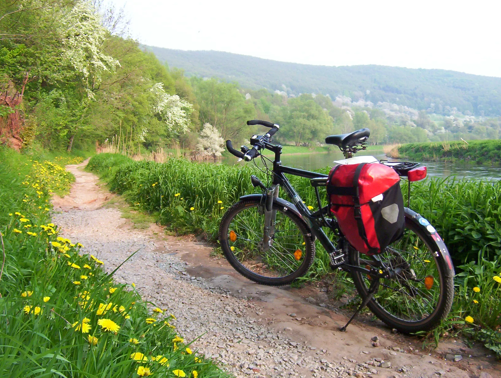
Enjoy a scenic journey from Odenthal to Hoheberg, passing through picturesque meadows and enchanting forests. This road loop is perfect for nature lovers and offers breathtaking views along the way. The route covers a total distance of 77km with an elevation gain of 1334m, challenging but rewarding for intermediate level riders.
road
77 km
1334 m
Tough
Route profile
Highlights on the route
0 km
0 km
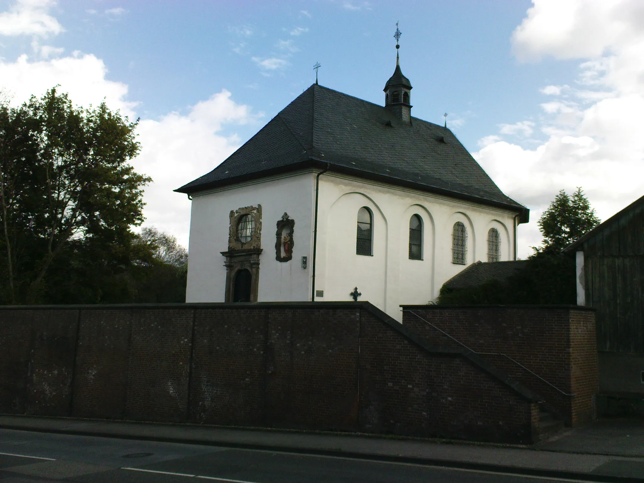
Start: Glöbusch Village centerOdenthal: Discovering the Natural Beauty of Odenthal on Two Wheels
Odenthal is a locality in the Köln region of Germany. From a cyclist's perspective, Odenthal offers a mix of road and gravel cycling routes, with scenic landscapes and charming villages to discover. The area is known for its beautiful countryside, featuring rolling hills and picturesque views. One of the popular cycling-related spots nearby is the Bergisches Land region, which offers stunning nature parks and challenging climbs. Overall, Odenthal is a great destination for cyclists looking for a combination of scenic beauty and varied terrain.3 km
3 km
Hoheberg185 mPeakExplore the historic Hoheberg village, known for its quaint streets and charming architecture.
16 km
16 km
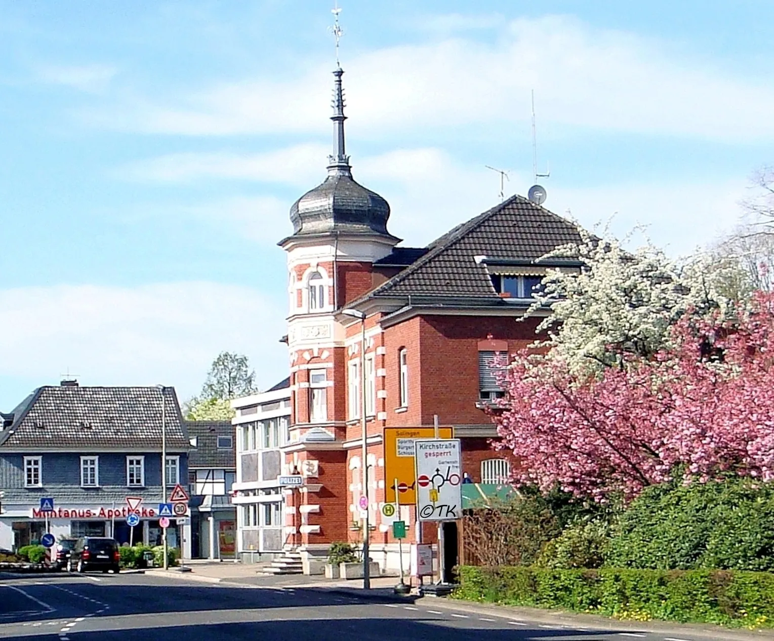
KürtenTownDiscover Kürten, a historic town with fascinating cultural landmarks and beautiful countryside.
36 km
36 km
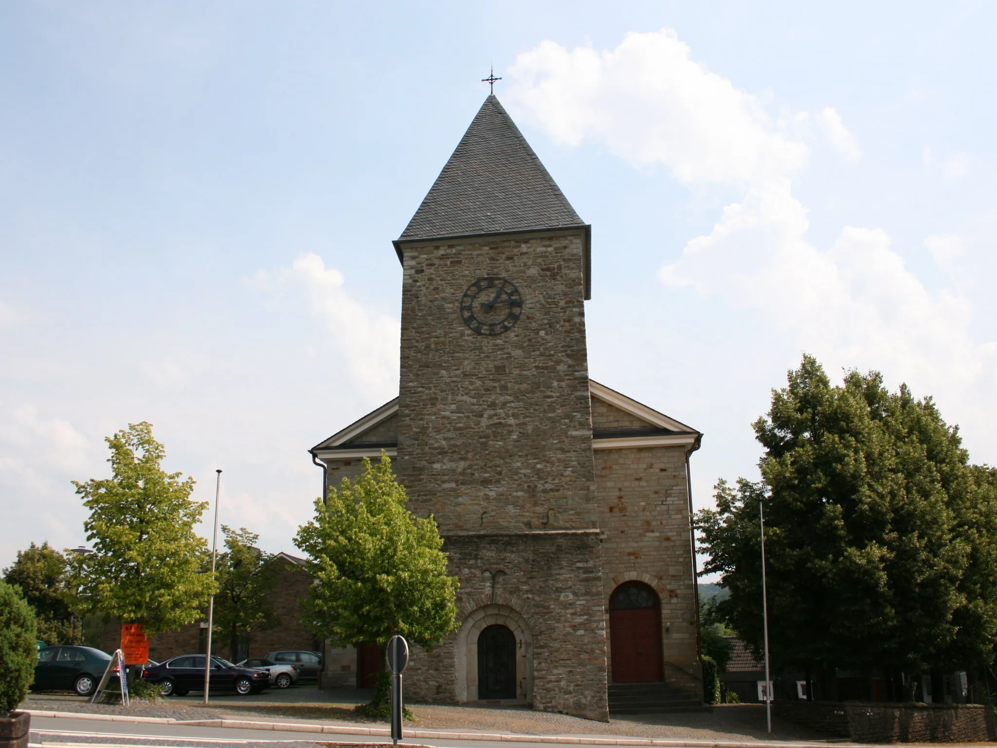
EngelskirchenTownVisit Engelskirchen and immerse yourself in its rich industrial heritage and picturesque landscapes.
38 km
38 km
Huhhardt281 mPeakExperience the Huhhardt lighthouse, offering panoramic views of the surrounding area.
48 km
48 km
OverathTownPass through Overath and enjoy the peaceful ambiance of this rural town.
71 km
71 km
OdenthalTownStart and end your journey in Odenthal, a charming village with a fascinating history and vibrant culture.
77 km
77 km
Finish: Glöbusch Village centerOdenthal: Discovering the Natural Beauty of Odenthal on Two Wheels
Cycling routes nearby: