Refrath to Rath Legendary Road Ride
A road cycling route starting from Rath
Embark on a legendary road cycling experience from Refrath to Rath
Map
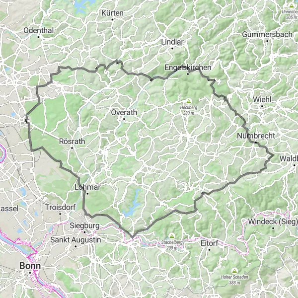
Get ready for a legendary road cycling experience covering a distance of 111 km with a total ascent of 1358 meters. This challenging route takes you through iconic highlights such as Grube Cox, Huhhardt, Hipperich, Gerhardsiefen, and many more. Indulge in the splendor of Giersberg and admire the historical significance of Allner Mühle during the journey. As you conquer various ascents and reach the summit at Rath, enjoy panoramic views of the surroundings and a memorable sense of accomplishment.
road
111 km
1358 m
Savage
Route profile
Highlights on the route
0 km
0 km
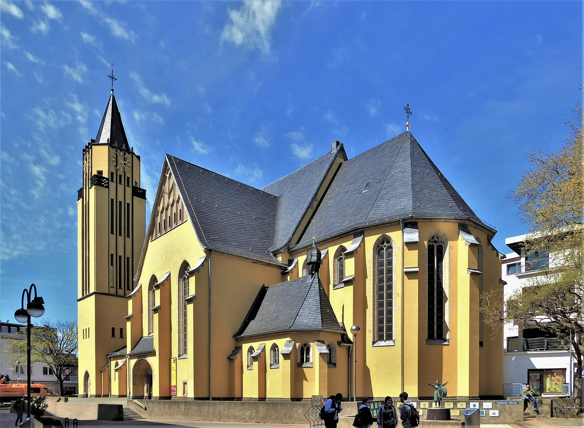
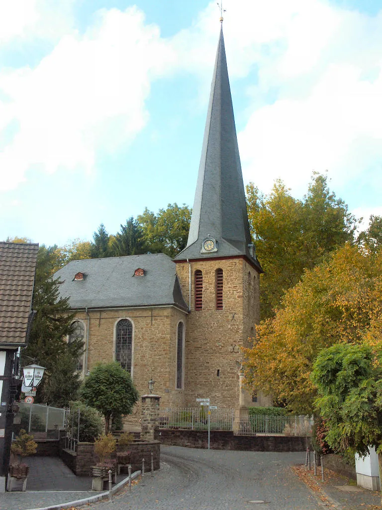
Start: Locality centerRath: Cycling Paradise with Stunning Views
Rath, located in Köln, Germany, offers a variety of cycling opportunities for both road and gravel cyclists. The region is known for its beautiful scenery and well-maintained roads, making it a popular destination for cyclists. One of the most famous cycling-related spots in the area is the Cologne-Bonn Cycle Path, which offers stunning views and is suitable for all skill levels. Additionally, Rath is home to several well-known climbs, such as the Rhineland Hills, which provide a challenging and rewarding experience for cyclists. Overall, Rath is a great locality for cycling enthusiasts and offers plenty of options for both recreational and competitive riders.4 km
4 km
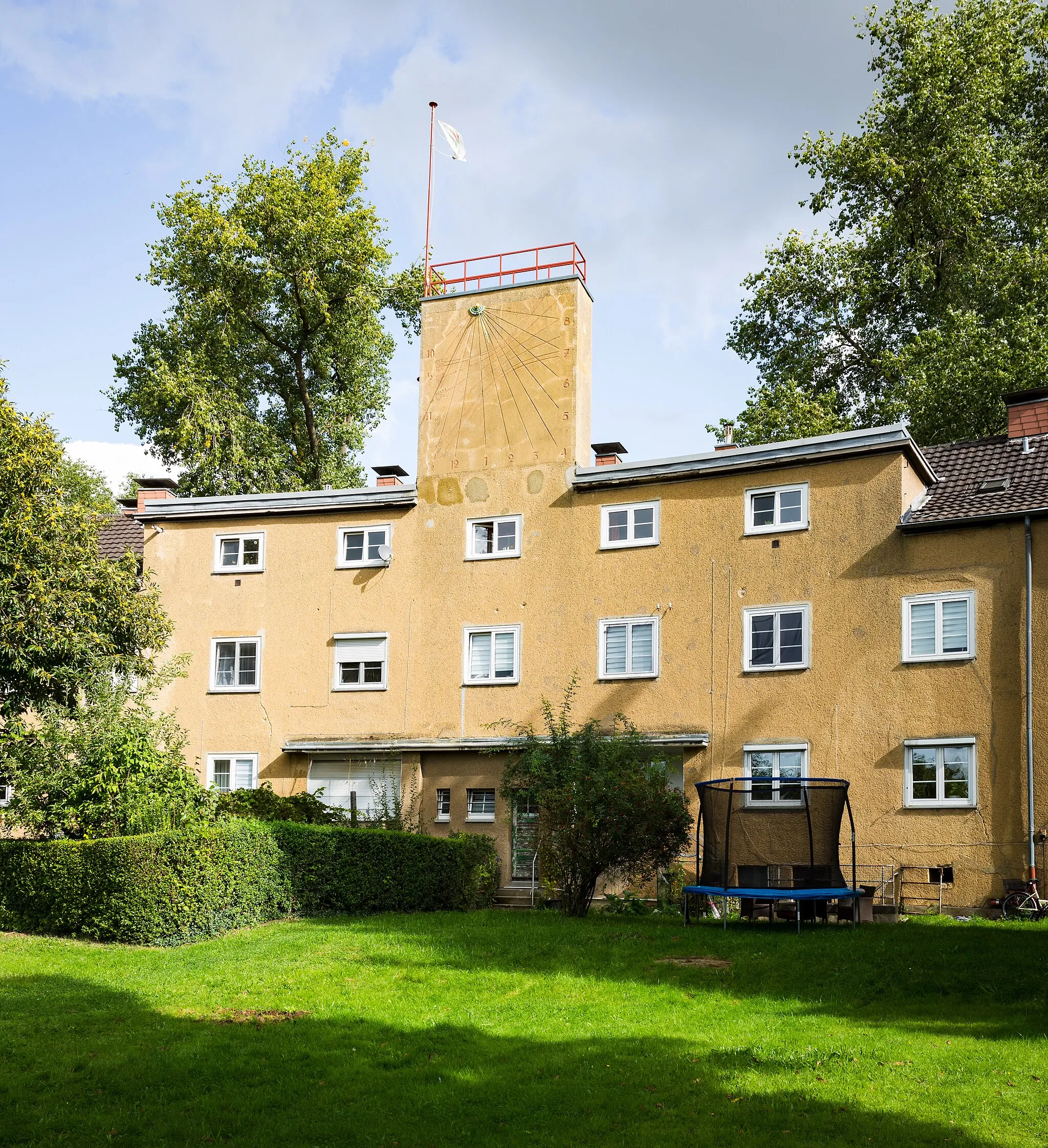
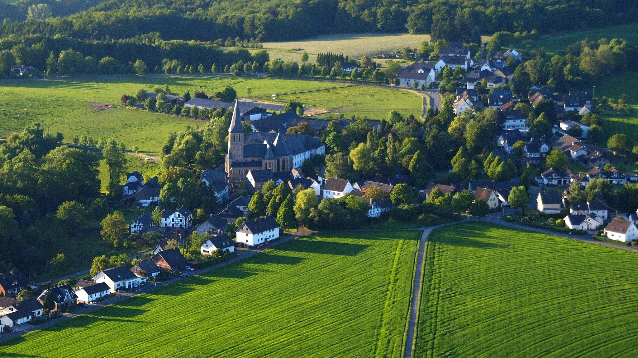
RefrathSub-urbStart your legendary ride from Refrath, a bustling neighborhood offering diverse attractions and excellent road cycling opportunities.
8 km
8 km
Grube CoxViewpointFeel inspired at Grube Cox, a renowned landmark that serves as a testament to the region's mining heritage.
32 km
32 km
Huhhardt281 mPeakWitness the allure of Huhhardt and embrace the challenging inclines that await you.
41 km
41 km
Hipperich352 mPeakExperience the unique charm of Hipperich and traverse its winding roads surrounded by stunning landscapes.
49 km
49 km
GerhardsiefenHamletCycle through the captivating scenery of Gerhardsiefen and immerse yourself in tranquility.
82 km
82 km
Giersberg175 mPeakMarvel at the breathtaking vistas from Giersberg, revealing the true beauty of the region.
83 km
83 km
Historische Allner MühleAttractionVisit the historic Allner Mühle, a charming mill that stands as a symbol of the area's rich heritage.
96 km
96 km
Burg LohmarCastleDiscover the scenic wonders surrounding Burg Lohmar, an impressive fortress with a fascinating past.
99 km
99 km
Hohe Schanze127 mPeakTake in the stunning vistas of Hohe Schanze and capture memorable photographs during your legendary ride.
109 km
109 km
Aussicht auf Becken 3ViewpointWitness the captivating beauty of Becken 3 from Rath, providing an awe-inspiring experience as you cycle through the region's highest point.
111 km
111 km
RathSub-urbReach Rath, the summit of the route, and savor the moment while beholding panoramic views of the surroundings.
111 km
111 km
Finish: Locality centerRath: Cycling Paradise with Stunning Views
Cycling routes from Rath:
Hohe Schanze to Burg Wissem Gravel Ride Rath to Köln Circular Ranzel Loop to Eil Gravel Escape to Bergisch Gladbach The Köln Heritage and Nature Tour Monte Troodelöh to Becken 3 Gravel Expedition Altenrath to Becken 3 Gravel Loop Refrath to Rath Legendary Road Ride Scenic Gravel Escape to Tütberg Road Cycling Adventure Around Köln
Cycling routes nearby: