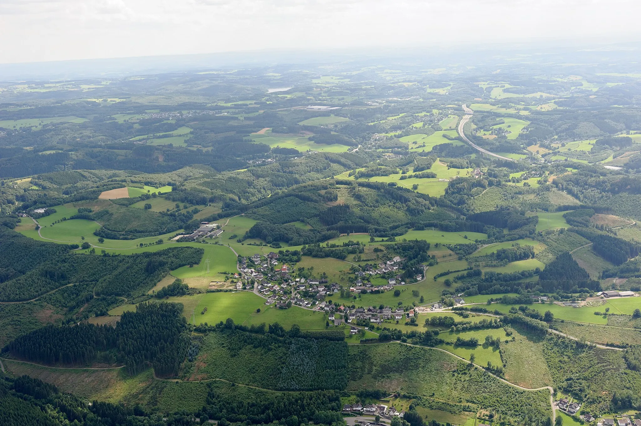
Gravel Adventure through Galgenberg and Höhkopf
A gravel cycling route starting from Wiehl
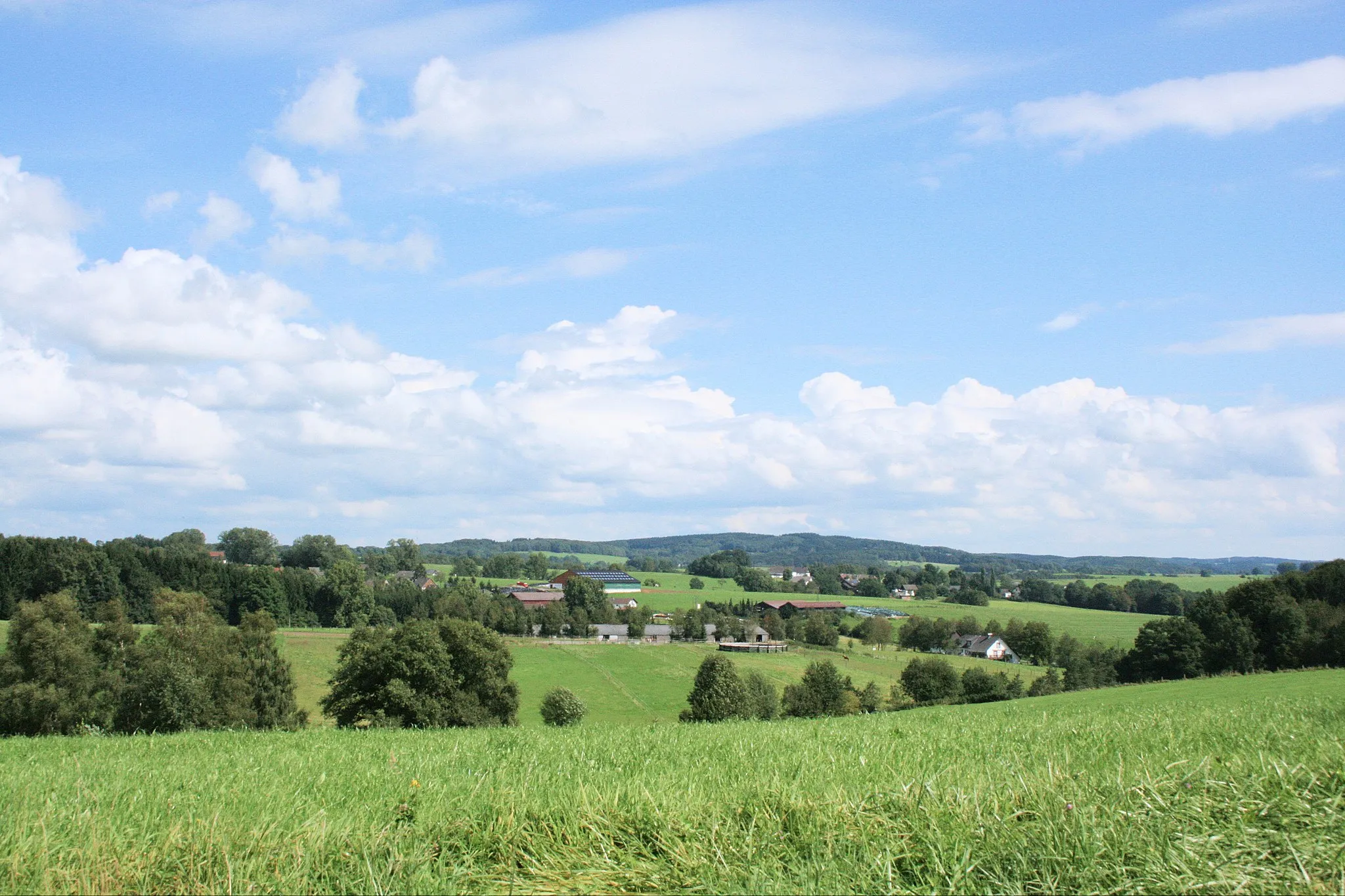
Explore the picturesque scenery of Wiehl
Map

This gravel route takes you through the beautiful landscapes near Wiehl, offering a thrilling adventure. With a total distance of 102 kilometers and an ascent of 1659 meters, the route challenges even experienced cyclists. The highlight of this journey includes the Galgenberg, offering stunning panoramic views, and the iconic Höhkopf. Don't miss the Bismarckturm in Wiehl, which marks the starting point of this adventurous route. The variety of terrain and the unique highlights along the way make this route an epic experience for cycling enthusiasts.
gravel
102 km
1659 m
Tough
Route profile
Highlights on the route
0 km
0 km
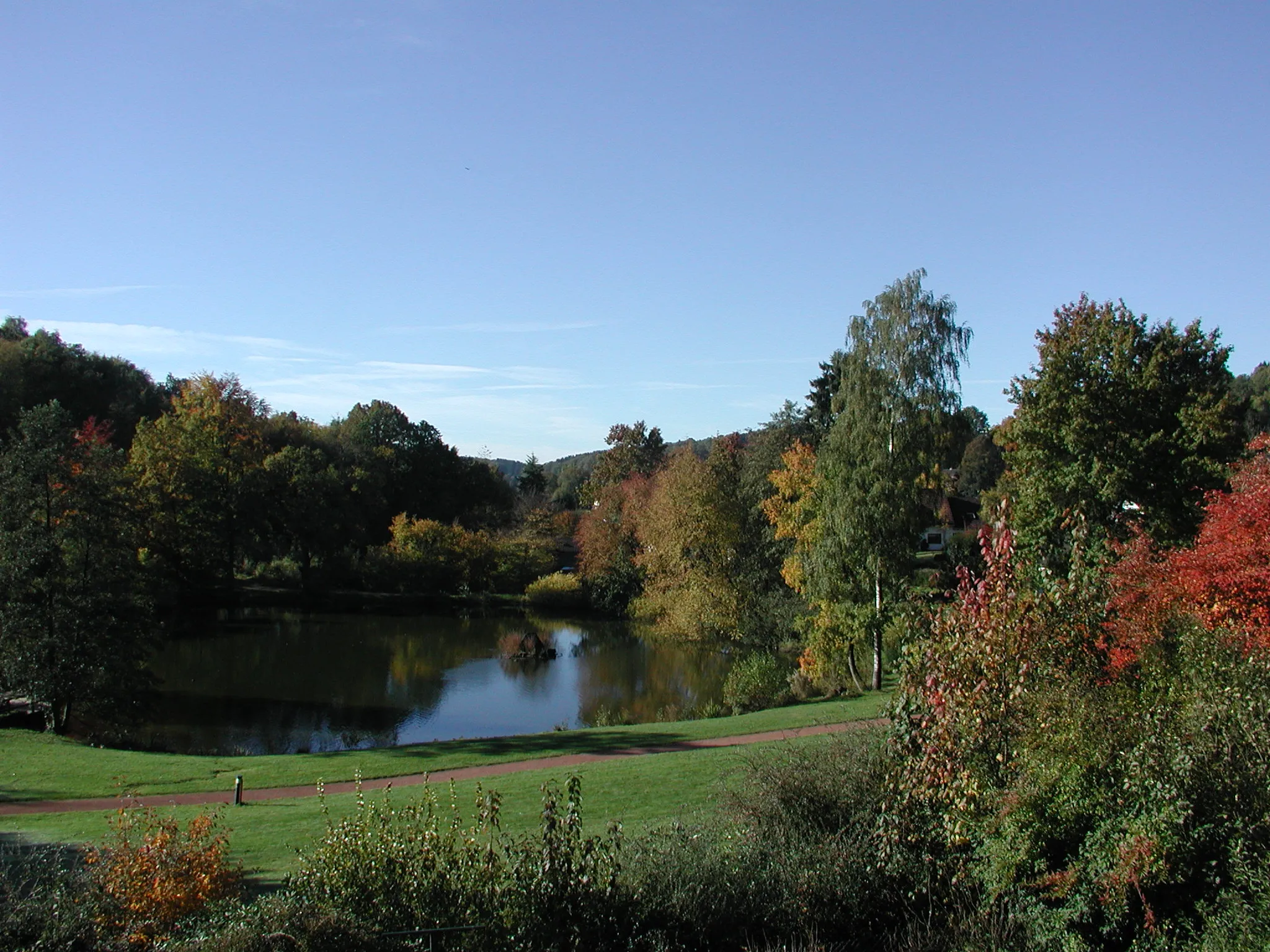
Start: Drosselhardt Village centerWiehl: Picturesque cycling routes in Wiehl, Germany
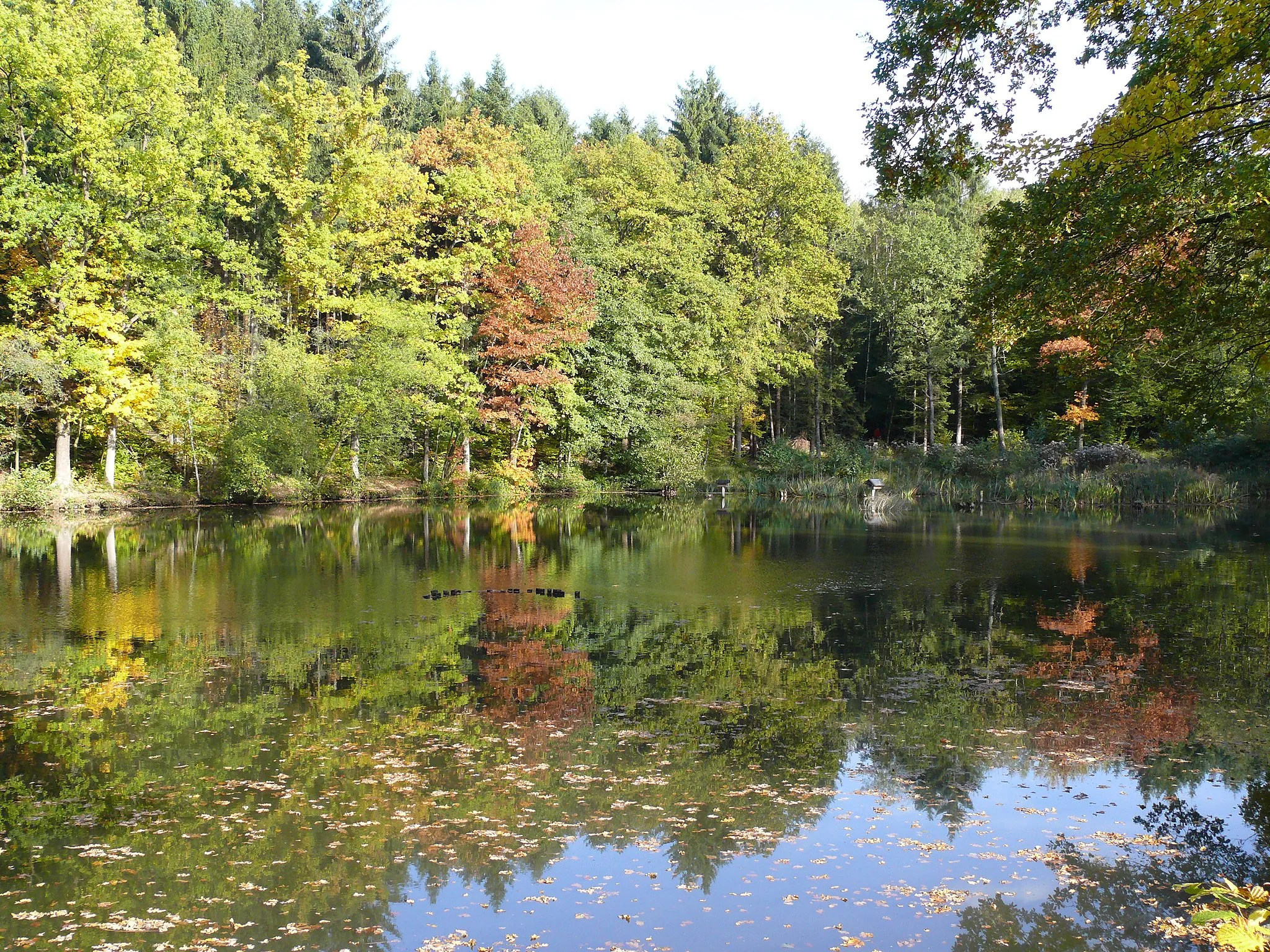
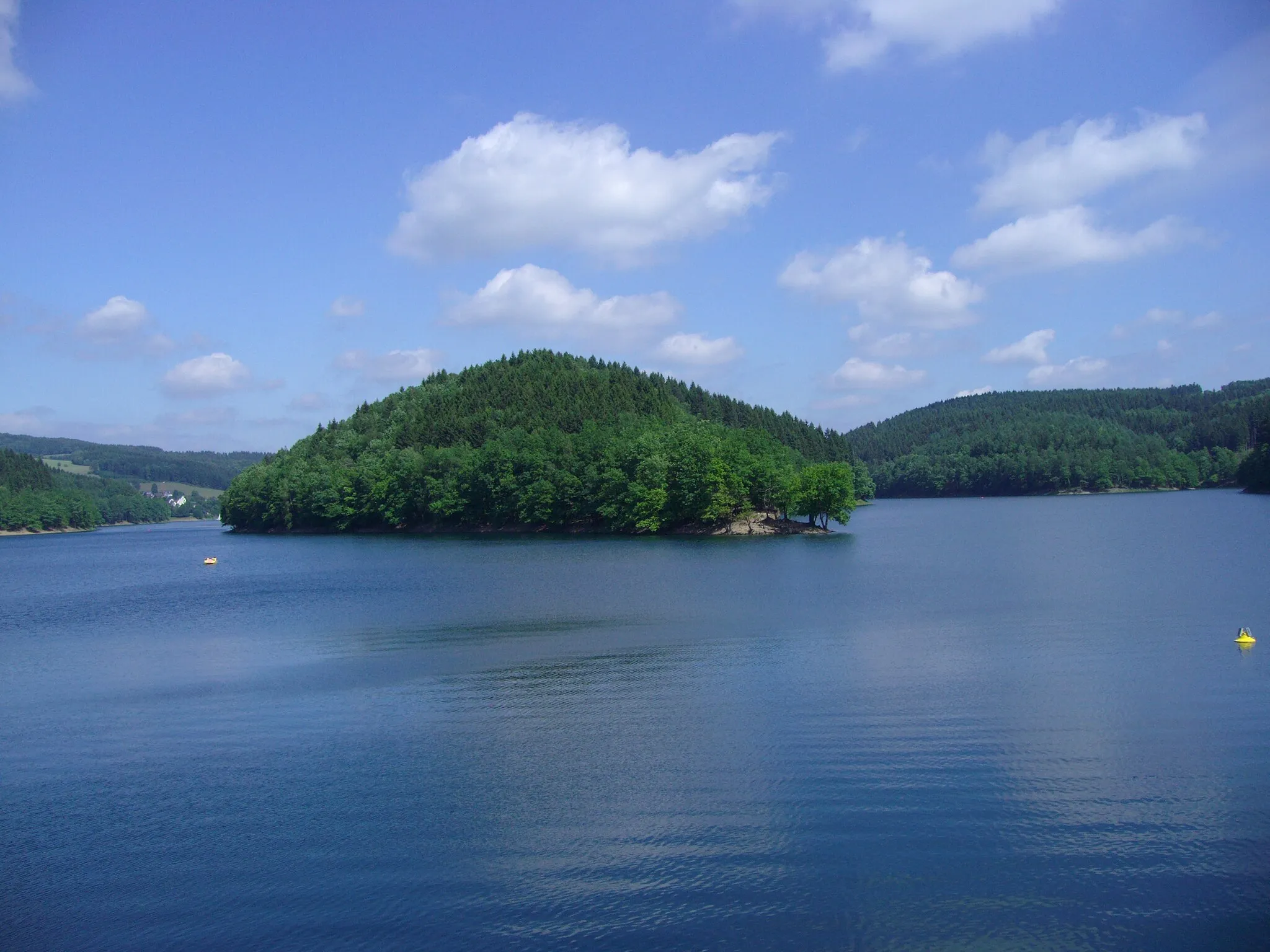
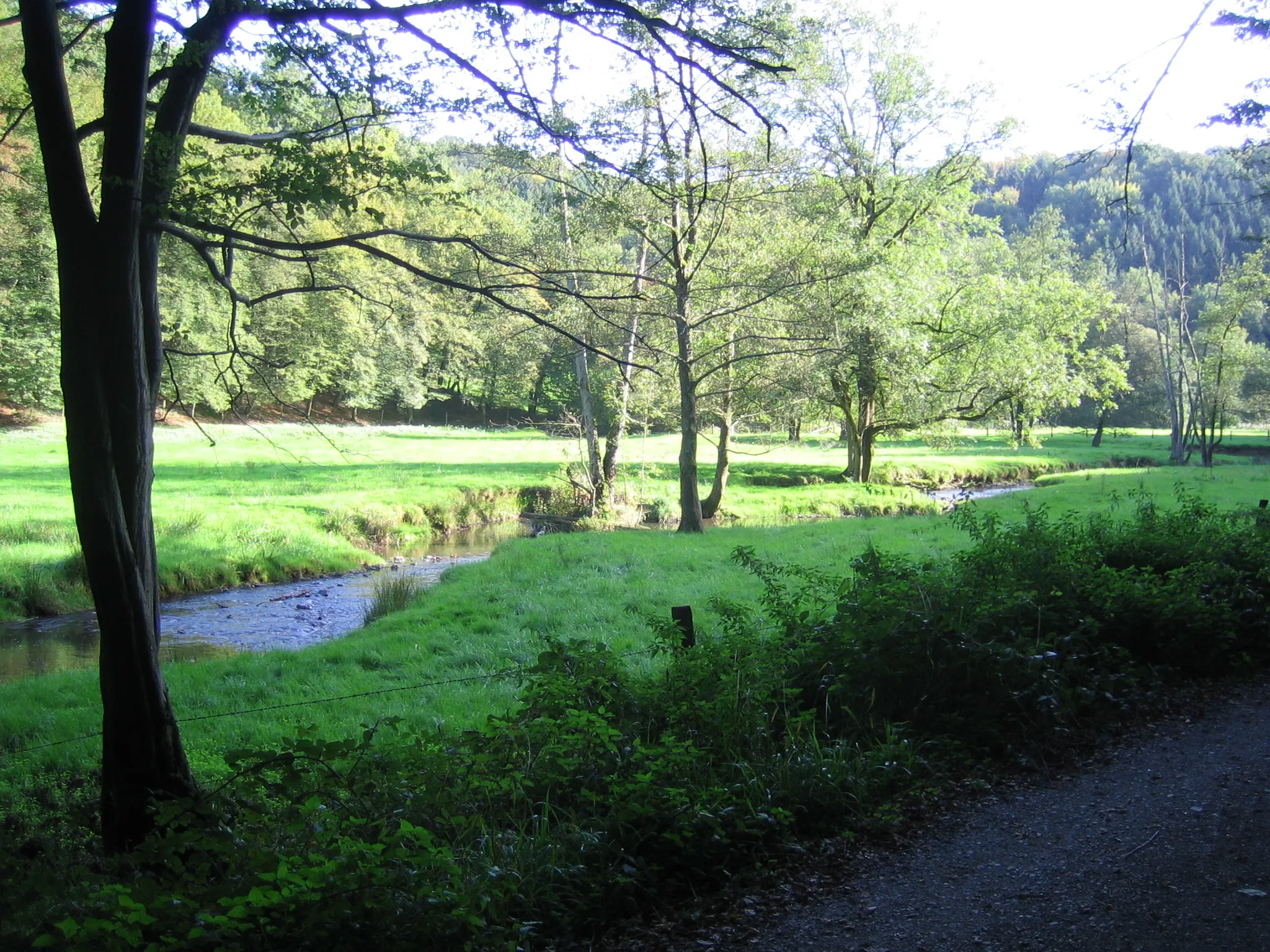
Wiehl is a locality located in Köln, Germany. From a cyclist's perspective, Wiehl offers a delightful and scenic cycling experience. The locality features well-paved roads that wind through picturesque landscapes, providing excellent routes for road and gravel cyclists. Found within the forests of Bergisches Land, Wiehl boasts serene rides, with winding paths leading through charming nature trails. Cyclists can also visit the Aggertalsperre Reservoir, which offers beautiful views along its shores. Overall, Wiehl is a cyclist-friendly locality deserving a rank of 4.1 km
1 km
WiehlTownWiehl, the charming town where your cycling adventure begins.
2 km
2 km
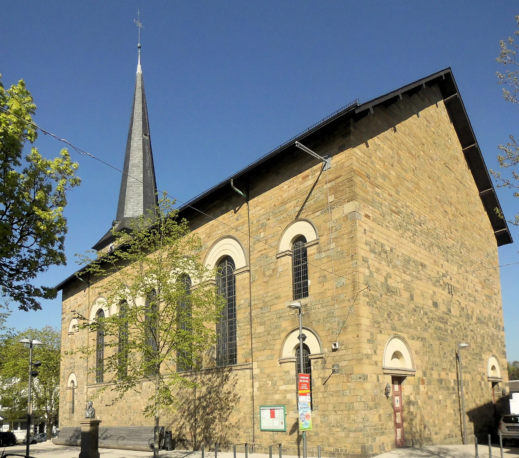
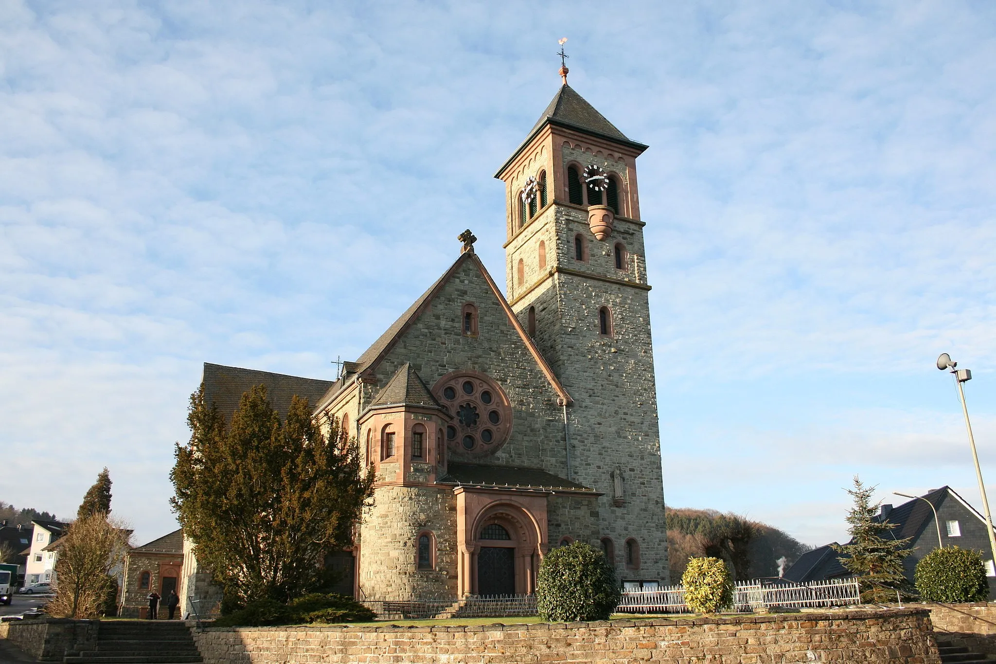
Bismarckturm WiehlViewpointBismarckturm in Wiehl, a historic landmark offering fantastic views.
20 km
20 km
Galgenberg356 mPeakLocated on Galgenberg, this highlight provides breathtaking panoramic views of the surrounding area.
40 km
40 km
Hoher Schaden388 mPeakHoher Schaden, a remarkable natural formation that will leave you in awe.
44 km
44 km
KircheibVillageKircheib, a picturesque village along the route with its charming architecture and tranquil atmosphere.
57 km
57 km
HöhkopfViewpointHöhkopf, a must-visit spot with its remarkable natural beauty and stunning vistas.
64 km
64 km
HeisterschoßVillageHeisterschoß, a scenic location showcasing the region's impressive landscapes.
71 km
71 km
Neunkirchen-SeelscheidTownNeunkirchen-Seelscheid, an idyllic countryside village with its lovely surroundings.
87 km
87 km
Schöne AussichtViewpointSchöne Aussicht, known for its beautiful scenery and captivating vistas.
102 km
102 km
Finish: Drosselhardt Village centerWiehl: Picturesque cycling routes in Wiehl, Germany
Cycling routes from Wiehl:
Wiehl Gravel Route 3 Gravel Adventure through Galgenberg and Höhkopf Scenic Road Route through Heckenberg and Fockenberg Wiehl Road Route Stunning Gravel Trail through Fehlberg and Hahnenseifen Wiehl Gravel Route 1 Wiehl Gravel Route 2 Road Cycling Adventure to Ruppichteroth and Hohe Hardt Wiehl Road Route 2 Epic Road Cycling Adventure to Meinerzhagen and Breckerfeld Scenic Gravel Ride through Wiehl
Cycling routes nearby: