Wiehl Road Route
A road cycling route starting from Wiehl
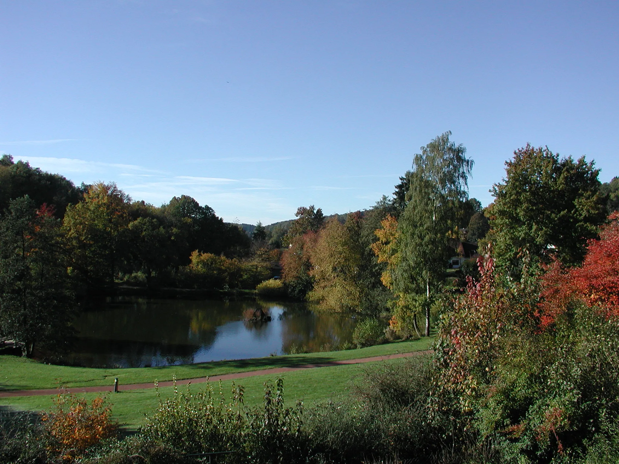
Experience challenging climbs and breathtaking views on this road route near Wiehl.
Map

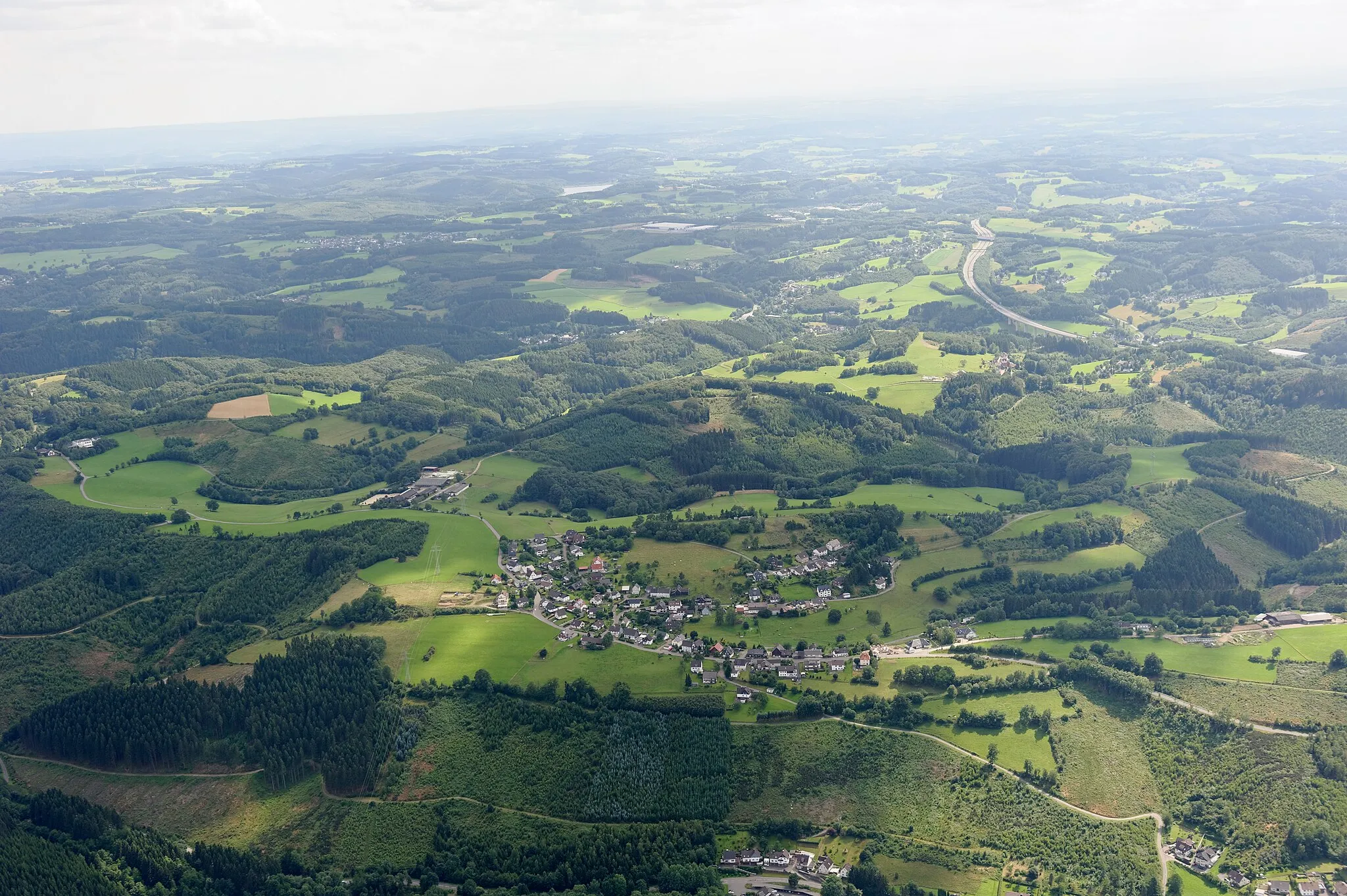
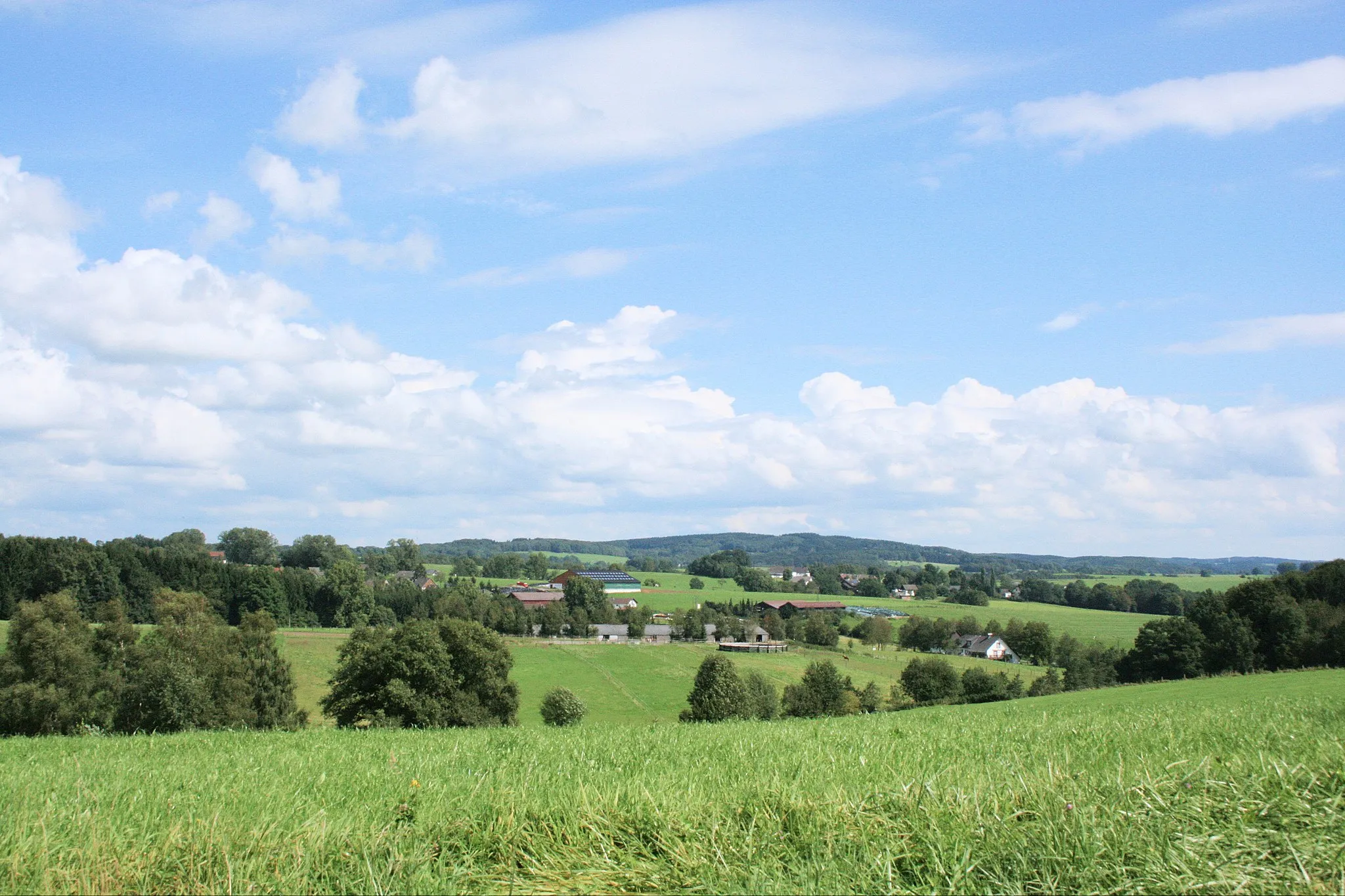
Get ready for a challenging road cycling adventure near Wiehl. This route offers breathtaking views of the surrounding countryside and includes several demanding climbs. Highlights of this route include Oberholzen, Auf dem Höchsten, Altwindeck, Eitorf, Höhkopf, Neunkirchen-Seelscheid, Heckberg, Drabenderhöhe, and Morkepütz.
road
95 km
1317 m
Savage
Route profile
Highlights on the route
0 km
0 km
Start: Oberholzen Village centerWiehl: Picturesque cycling routes in Wiehl, Germany
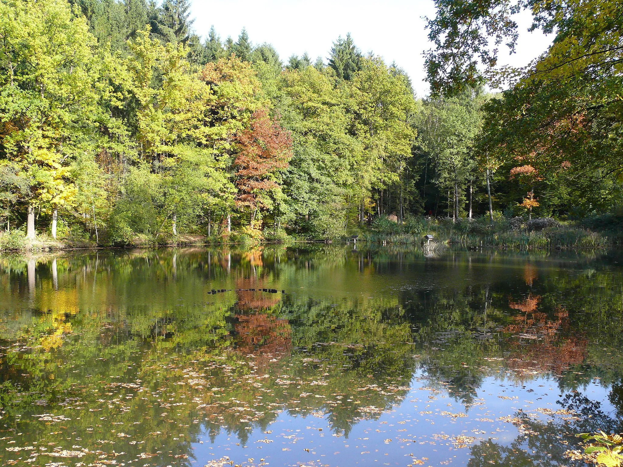
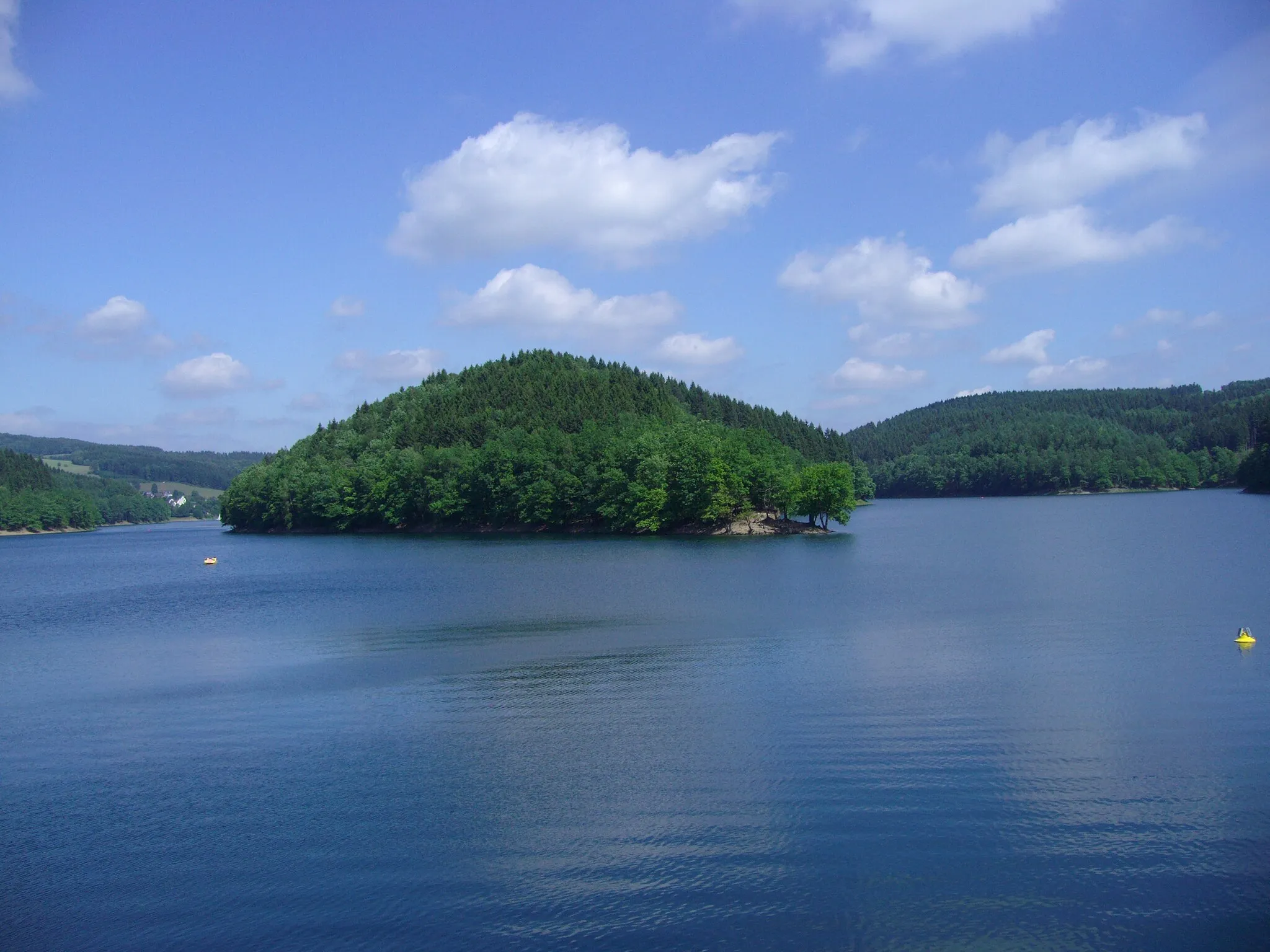
Wiehl is a locality located in Köln, Germany. From a cyclist's perspective, Wiehl offers a delightful and scenic cycling experience. The locality features well-paved roads that wind through picturesque landscapes, providing excellent routes for road and gravel cyclists. Found within the forests of Bergisches Land, Wiehl boasts serene rides, with winding paths leading through charming nature trails. Cyclists can also visit the Aggertalsperre Reservoir, which offers beautiful views along its shores. Overall, Wiehl is a cyclist-friendly locality deserving a rank of 4.0 km
0 km
OberholzenVillage20 km
20 km
Auf dem Höchsten303 mPeakClimb Auf dem Höchsten, a challenging ascent with stunning views at the top.
24 km
24 km
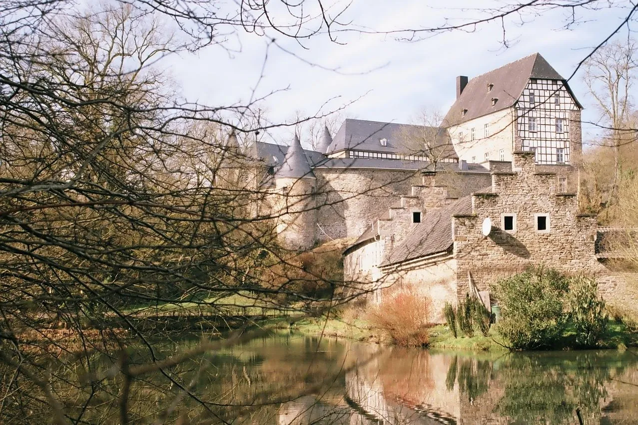
AltwindeckVillageExplore Altwindeck, a charming village known for its medieval castle and idyllic surroundings.
38 km
38 km
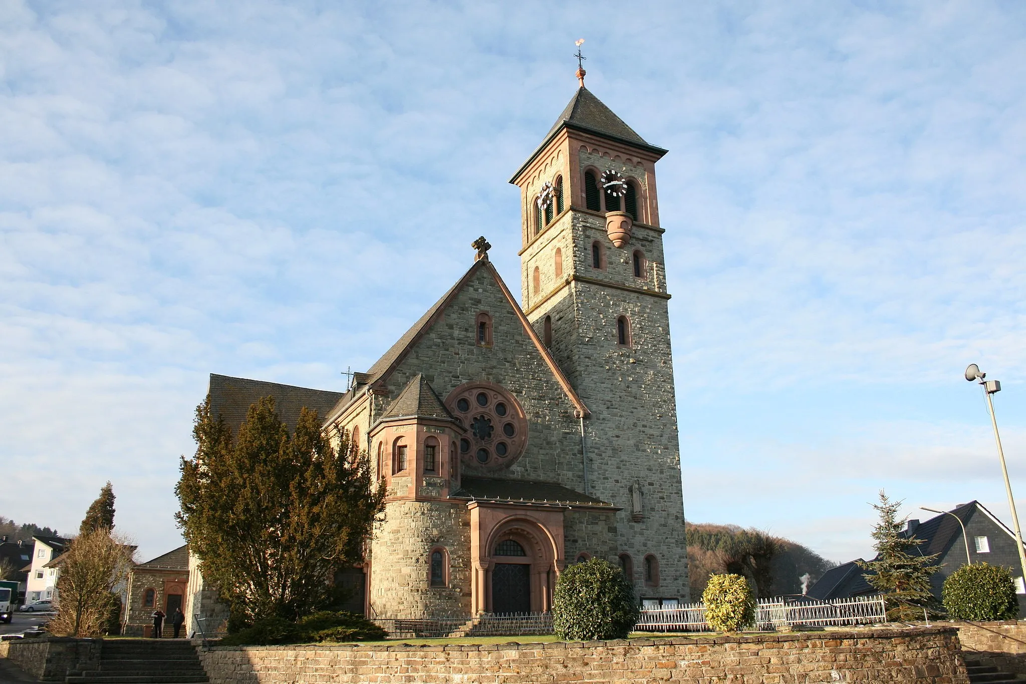
EitorfTownPass by Eitorf, a town located in a beautiful valley with a rich history and cultural attractions.
47 km
47 km
HöhkopfViewpointExperience the climb to Höhkopf, a legendary spot known for its demanding ascent and panoramic views.
64 km
64 km
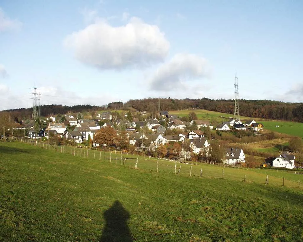
Neunkirchen-SeelscheidTownDiscover Neunkirchen-Seelscheid, a picturesque town surrounded by rolling hills and lush forests.
78 km
78 km
Heckberg383 mPeakStop by Heckberg, a hill that offers a challenging climb and rewards you with stunning views at the top.
83 km
83 km
DrabenderhöheVillageEnjoy the ascent to Drabenderhöhe, a quaint village nestled in a scenic landscape.
93 km
93 km
MorkepützVillageVisit Morkepütz, a traditional tavern where you can take a break and refuel.
95 km
95 km
Finish: Oberholzen Village centerWiehl: Picturesque cycling routes in Wiehl, Germany
Cycling routes from Wiehl:
Wiehl Gravel Route 3 Gravel Adventure through Galgenberg and Höhkopf Scenic Road Route through Heckenberg and Fockenberg Wiehl Road Route Stunning Gravel Trail through Fehlberg and Hahnenseifen Wiehl Gravel Route 1 Wiehl Gravel Route 2 Road Cycling Adventure to Ruppichteroth and Hohe Hardt Wiehl Road Route 2 Epic Road Cycling Adventure to Meinerzhagen and Breckerfeld Scenic Gravel Ride through Wiehl
Cycling routes nearby: