Wiehl Road Route 2
A road cycling route starting from Wiehl
Conquer challenging climbs and conquer your personal records on this epic road route.
Map
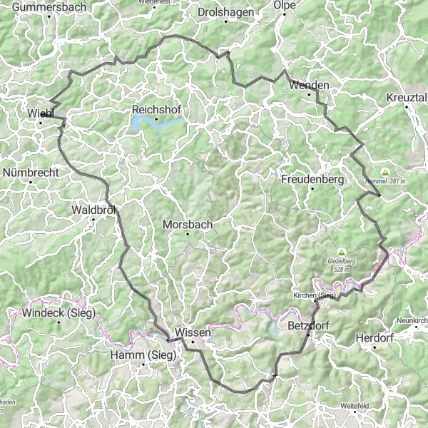
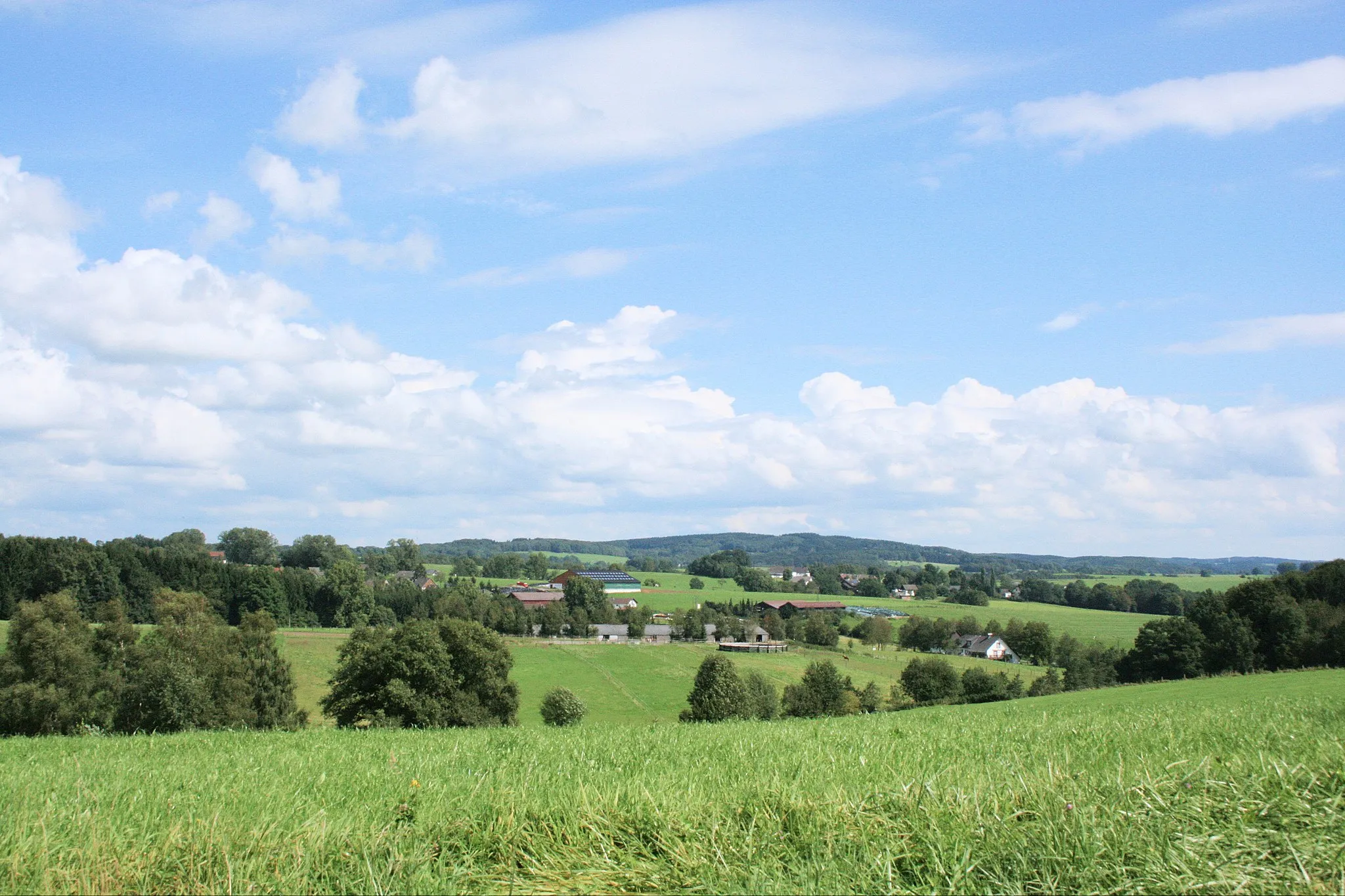
This road route near Wiehl is not for the faint-hearted. Prepare yourself for challenging climbs and exhilarating descents. Highlights of this route include Alpe, Bleiberg, Fockenberg, Wenden, Oberholzklau, Rothenberg, Alsberg, Nistermündung, Bitzen, and Niederbröl.
road
118 km
2038 m
Savage
Route profile
Highlights on the route
0 km
0 km
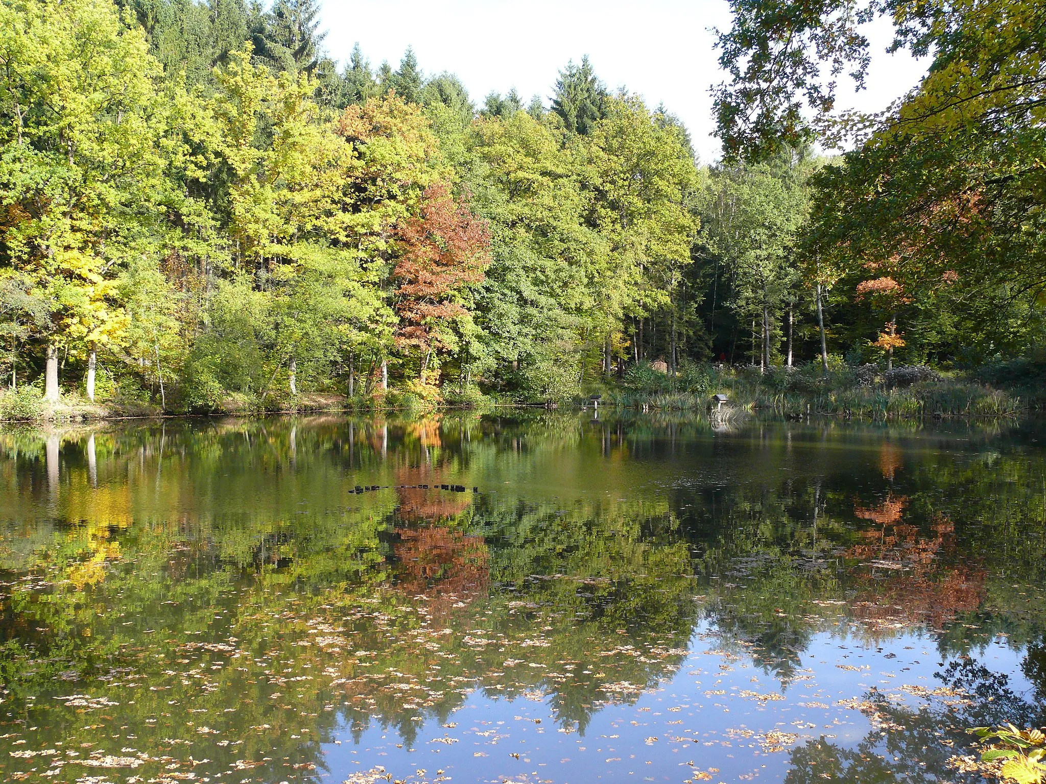
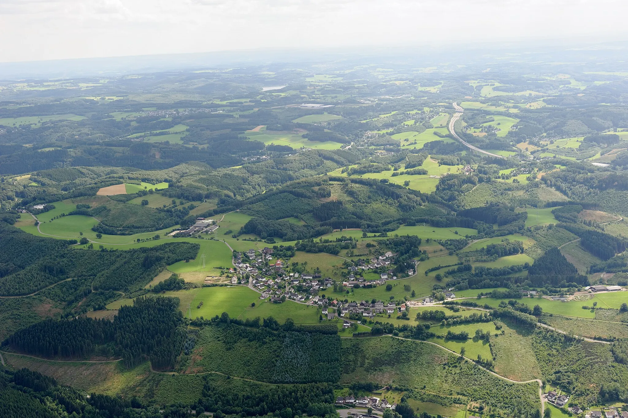
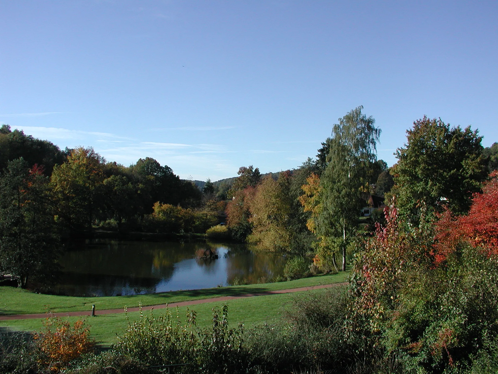
Start: Wiehl City centerWiehl: Picturesque cycling routes in Wiehl, Germany
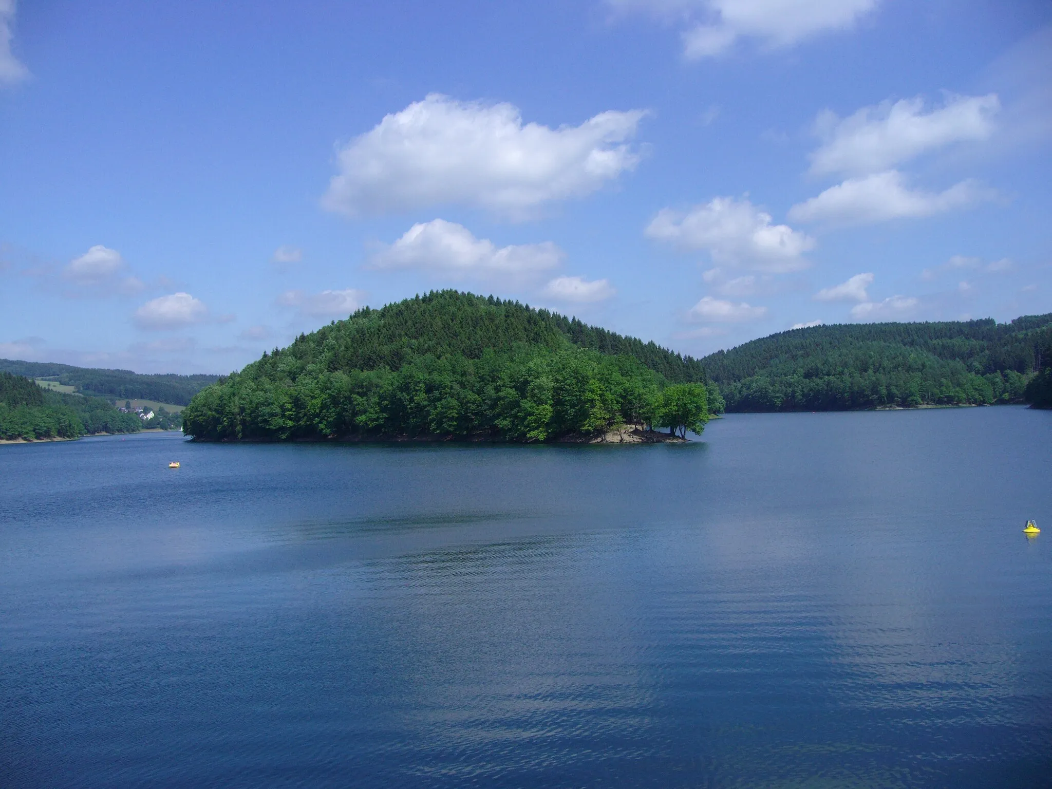
Wiehl is a locality located in Köln, Germany. From a cyclist's perspective, Wiehl offers a delightful and scenic cycling experience. The locality features well-paved roads that wind through picturesque landscapes, providing excellent routes for road and gravel cyclists. Found within the forests of Bergisches Land, Wiehl boasts serene rides, with winding paths leading through charming nature trails. Cyclists can also visit the Aggertalsperre Reservoir, which offers beautiful views along its shores. Overall, Wiehl is a cyclist-friendly locality deserving a rank of 4.3 km
3 km
AlpeVillageClimb Alpe, a legendary ascent featured in professional races known for its demanding gradient.
11 km
11 km
Bleiberg312 mPeakPass by Bleiberg, a hill that provides a challenging climb and rewards you with scenic views.
29 km
29 km
Fockenberg431 mPeakAdmire the beauty of Fockenberg, a popular vantage point offering panoramic views of the surrounding area.
35 km
35 km
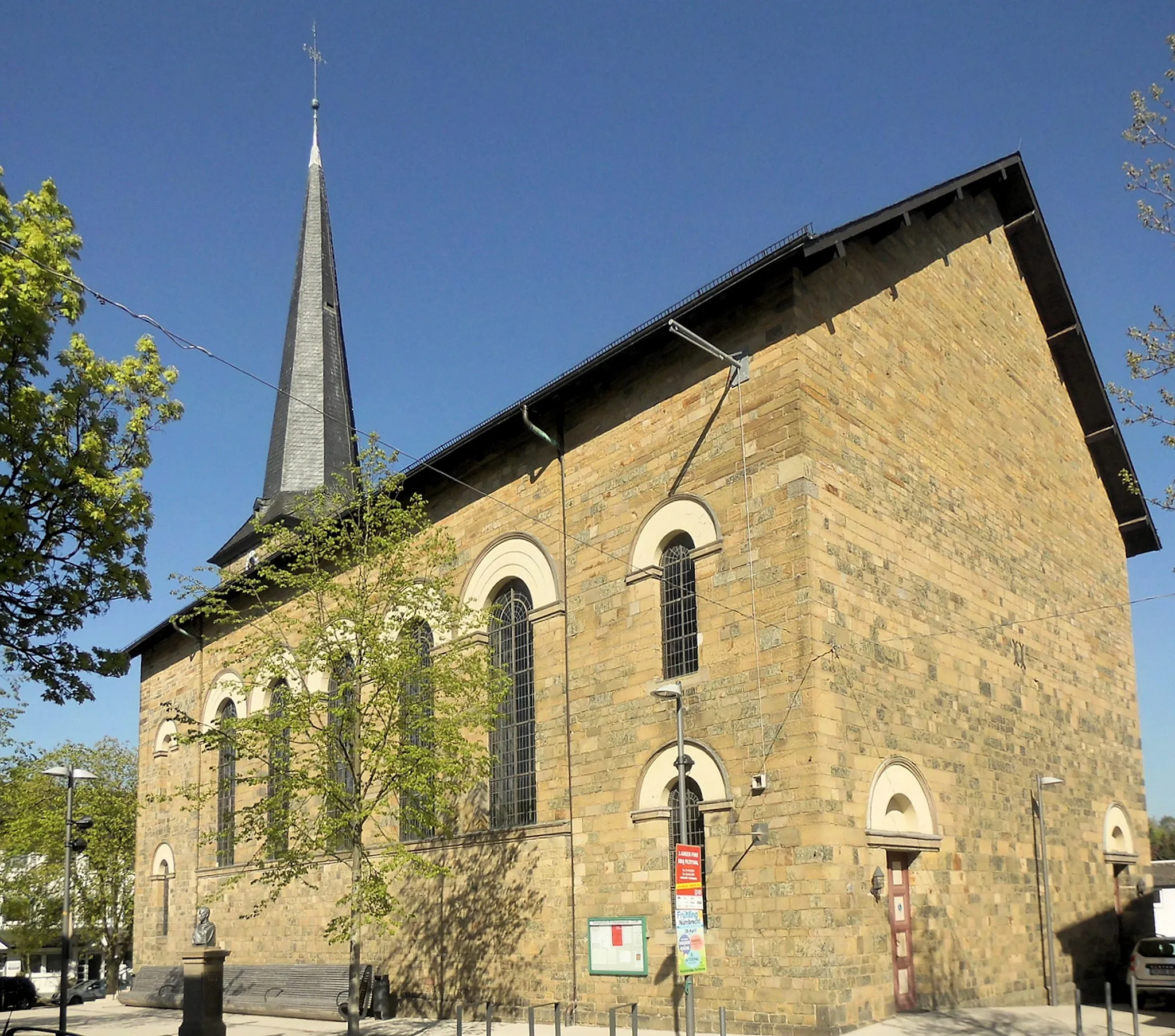
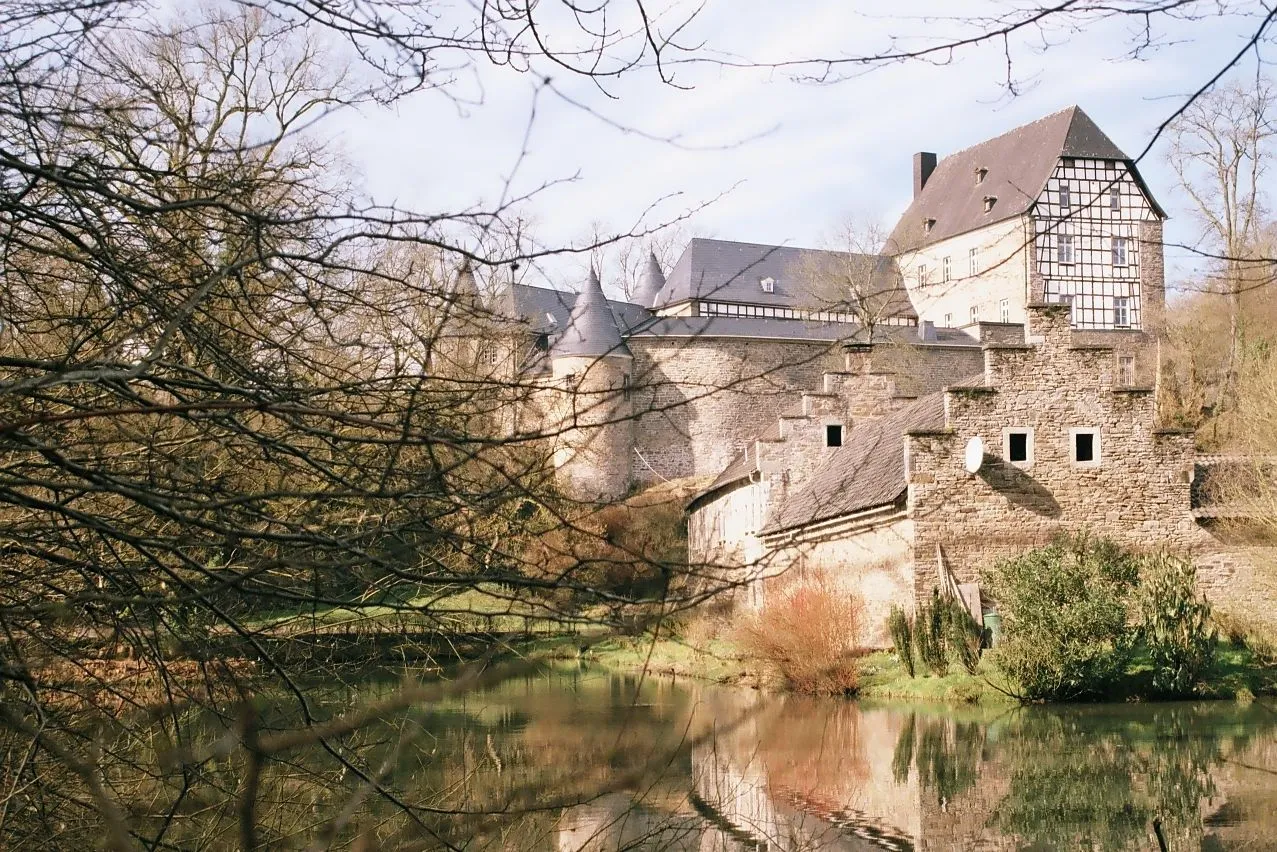
WendenTownVisit Wenden, a quaint town with a remarkable old town and narrow streets.
44 km
44 km
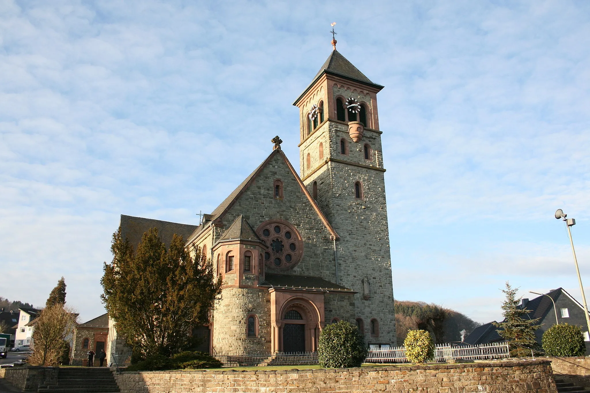
OberholzklauVillageChallenge yourself on the steep climb of Oberholzklau, a legendary spot among local cyclists.
56 km
56 km
Rothenberg402 mPeakTake a break at Rothenberg, a picturesque village that offers stunning views of the Rhine Valley.
72 km
72 km
Alsberg365 mPeakReach the summit of Alsberg, a legendary climb known for its challenging gradients and epic views.
90 km
90 km
NistermündungViewpointEnjoy the scenic Nistermündung, where the Nister River flows into the Sieg River.
94 km
94 km
BitzenVillagePass through the charming village of Bitzen, known for its traditional architecture and peaceful atmosphere.
110 km
110 km
NiederbrölVillageConquer the climb to Niederbröl, a popular local spot for both amateur and professional cyclists.
118 km
118 km
Finish: Wiehl City centerWiehl: Picturesque cycling routes in Wiehl, Germany
Cycling routes from Wiehl:
Wiehl Gravel Route 3 Gravel Adventure through Galgenberg and Höhkopf Scenic Road Route through Heckenberg and Fockenberg Wiehl Road Route Stunning Gravel Trail through Fehlberg and Hahnenseifen Wiehl Gravel Route 1 Wiehl Gravel Route 2 Road Cycling Adventure to Ruppichteroth and Hohe Hardt Wiehl Road Route 2 Epic Road Cycling Adventure to Meinerzhagen and Breckerfeld Scenic Gravel Ride through Wiehl
Cycling routes nearby: