Discover scenic countryside and urban cycling in Mittelfranken.
Cycling routes from Buckenhof
Buckenhof is a locality in the Mittelfranken region of Germany. From a cyclist's perspective, Buckenhof offers a mix of urban and rural cycling routes. Cyclists can explore the surrounding countryside and nearby Franconian Switzerland Nature Park. The region offers scenic landscapes and well-maintained cycling paths. While Buckenhof may not be known for any famous cycling spots or climbs, it provides convenient access to the larger cycling network in Mittelfranken and is suitable for cyclists of all skill levels.

Discover the hidden gem of Weiher
Embark on a scenic road cycling route that takes you from Buckenhof to the hidden gem of Weiher. This 76-kilometer route offers a moderate challenge with an ascent of 475 meters. Along the way, you'll encounter picturesque landscapes and charming villages. Don't miss the chance to visit Weiher, a small town known for its serene atmosphere and beautiful nature. With a difficulty rating of 2 out of 5, this route is perfect for cyclists of all levels.

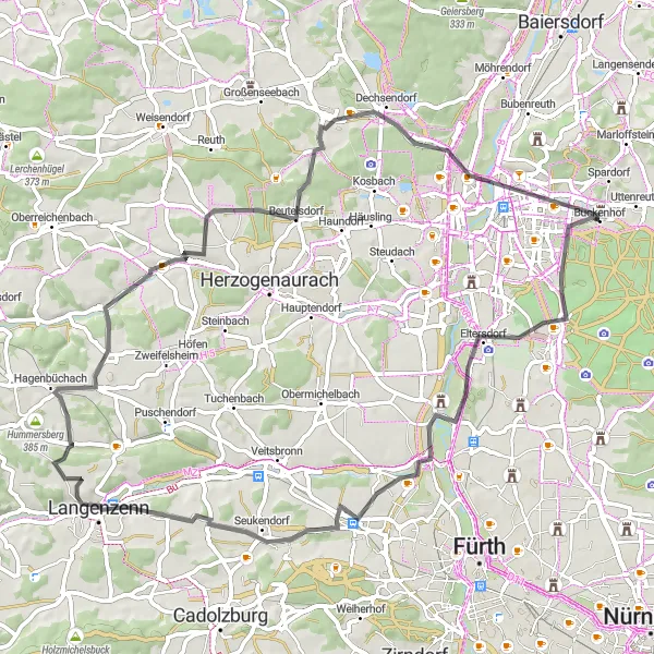
Enjoy the scenic countryside landscapes on this road cycling route
With a distance of 50 km and an ascent of 309 m, this road cycling route takes cyclists through the picturesque countryside and charming villages. It offers a blend of flat and rolling terrain, making it suitable for various fitness levels. Immerse yourself in the tranquility of nature and take in the breathtaking views along the way.
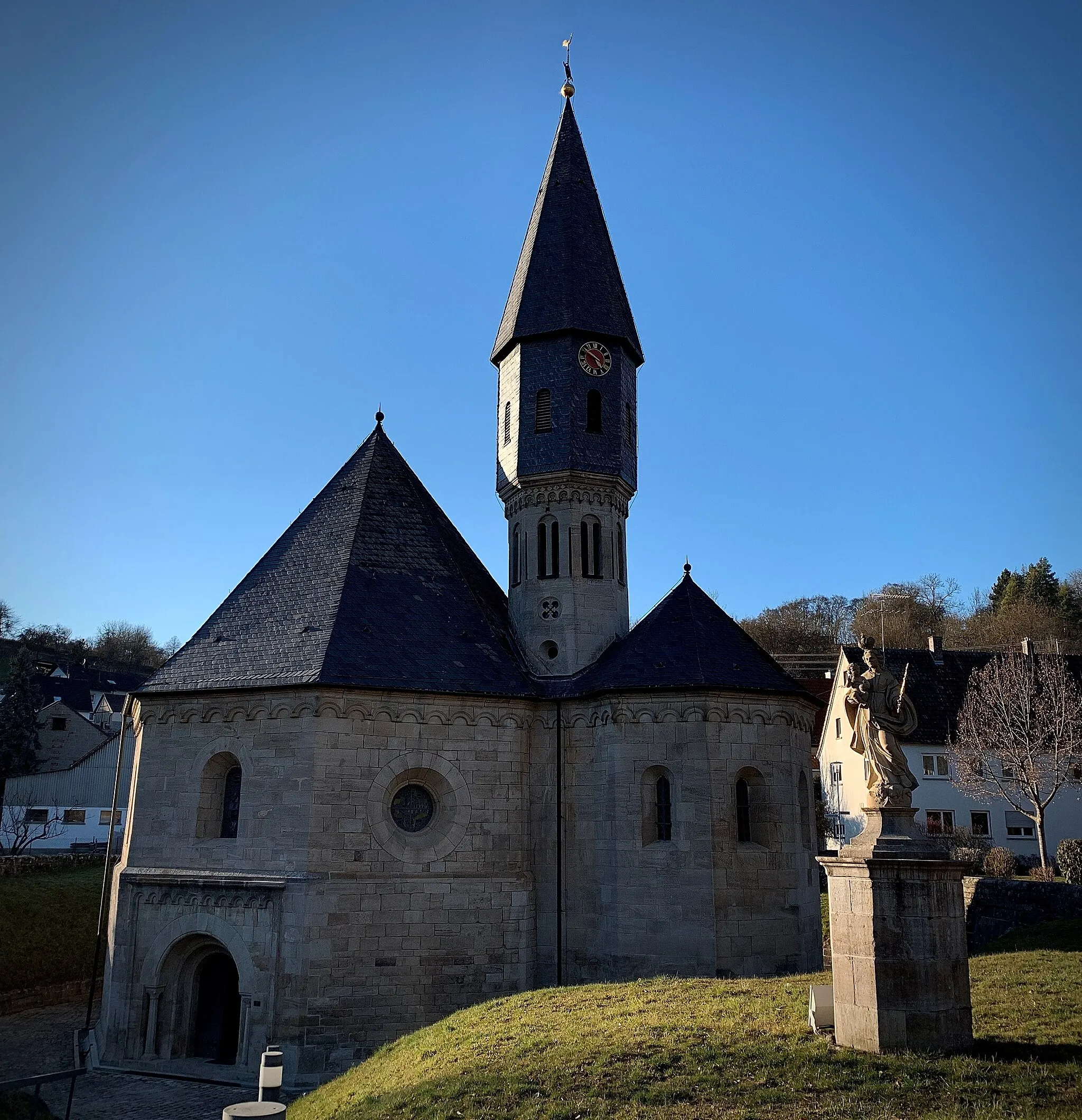
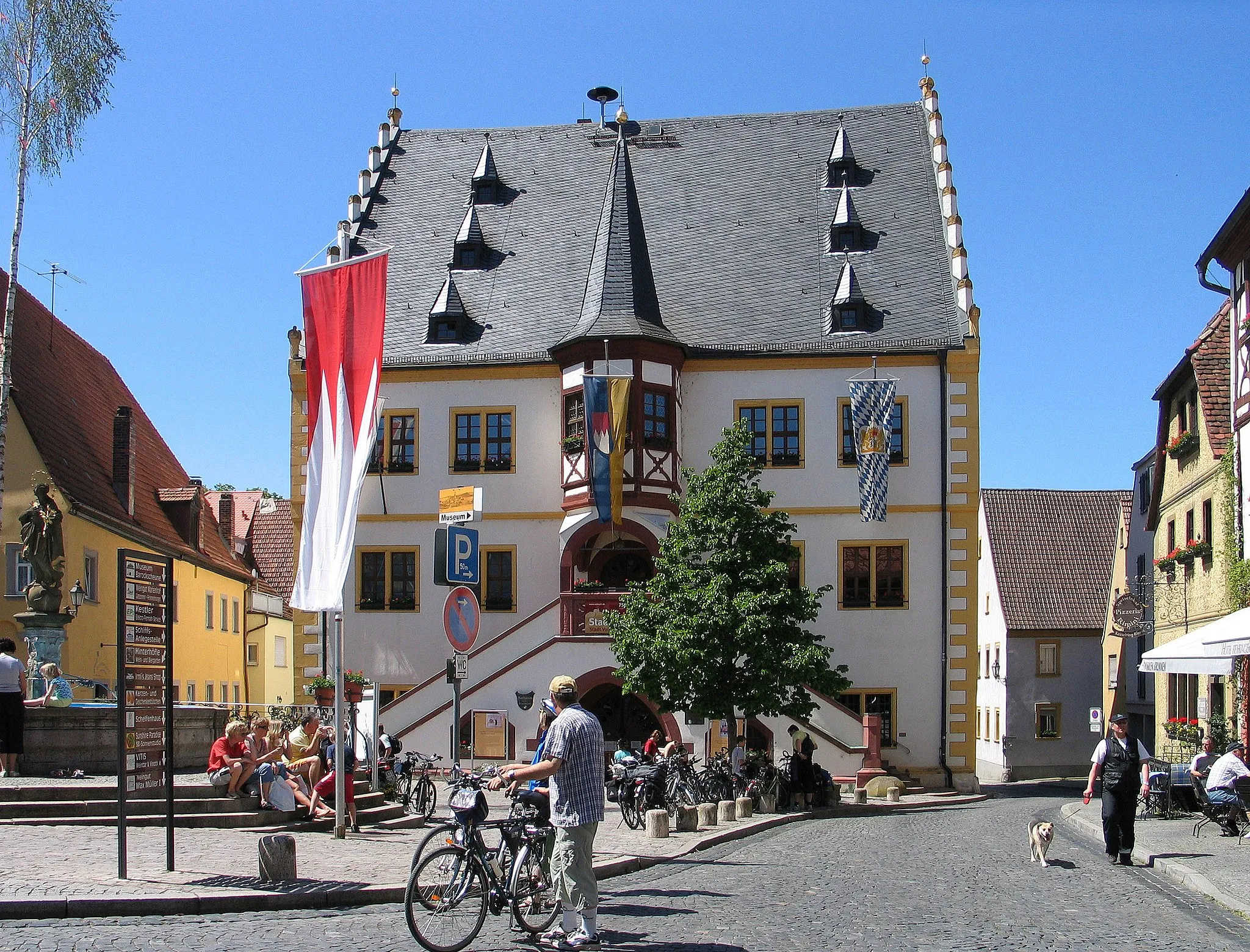
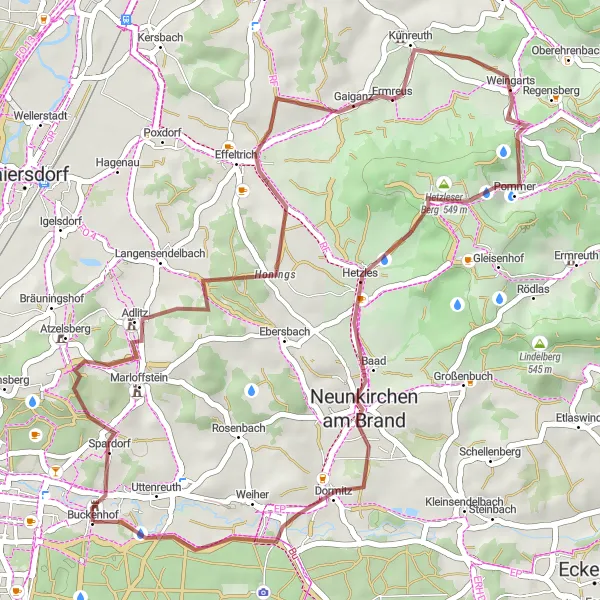
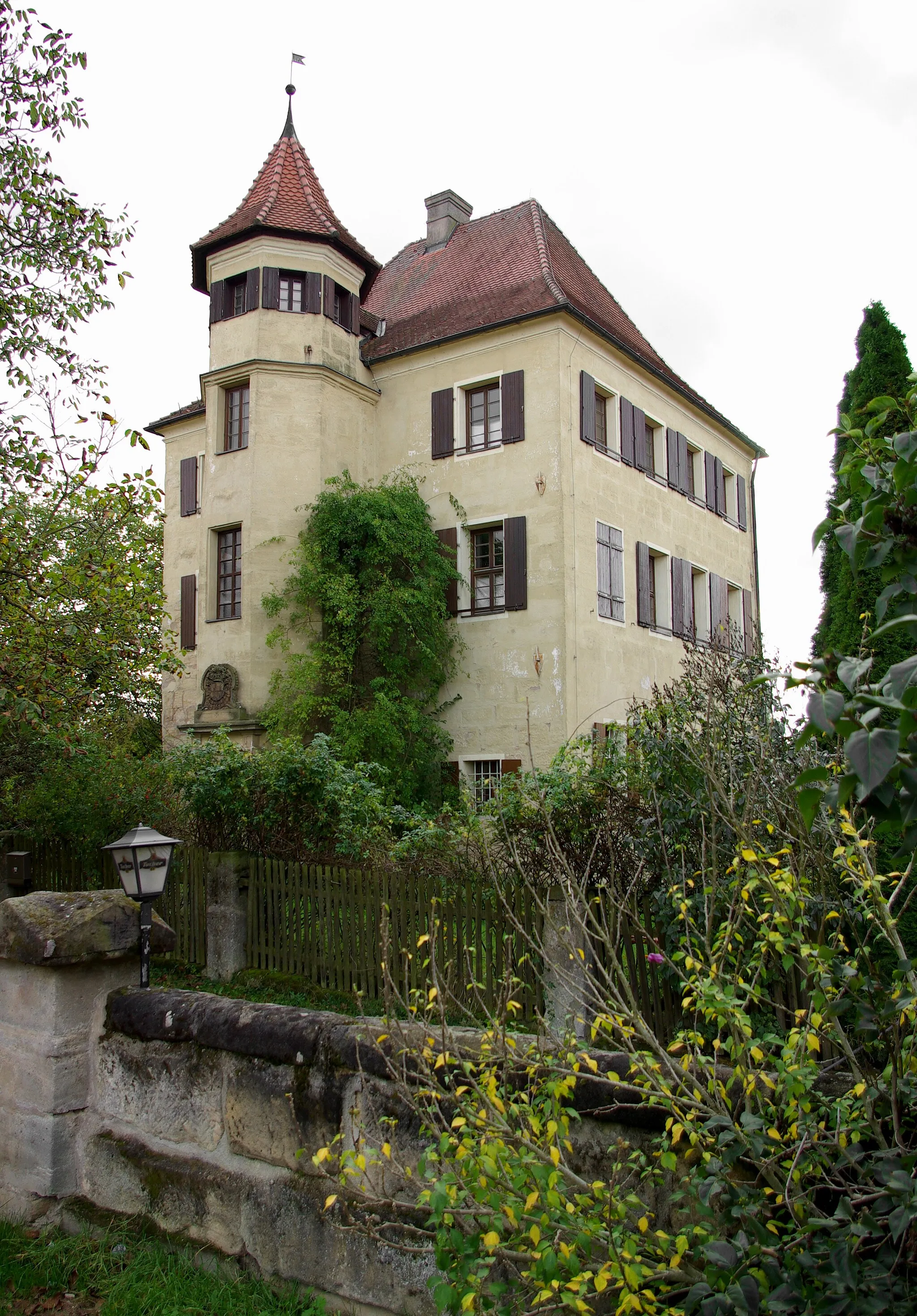
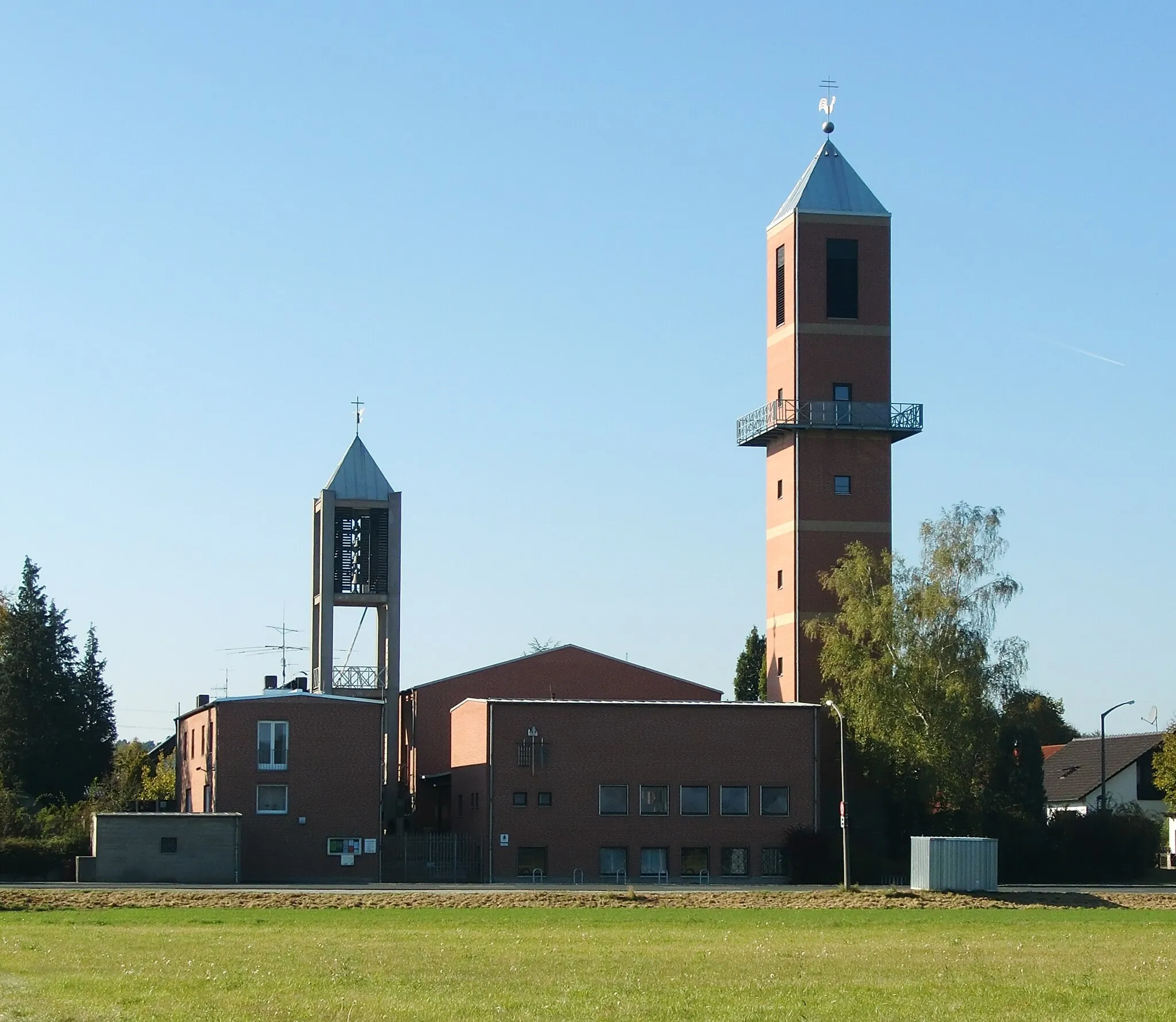
Schloss Puckenhof Gravel Route
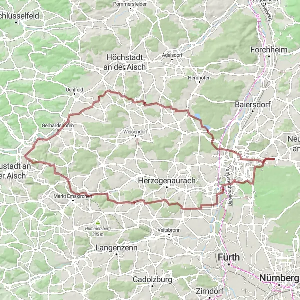
Explore beautiful landscapes and visit the historic Schloss Puckenhof
This gravel route offers a scenic cycling experience through picturesque landscapes. With a total distance of 88 km and an ascent of 569 m, it is suitable for moderately experienced cyclists. The highlight of the route is the majestic Schloss Puckenhof, known for its historical significance and stunning architecture.
Experience nature at the Wildschweingehege viewpoint
Escape into nature with this gravel cycling route from Buckenhof to the Wildschweingehege viewpoint. Over 63 kilometers, you'll conquer an ascent of 441 meters and enjoy the beauty of Mittelfranken's countryside. The highlight of this route is the viewpoint at the Wildschweingehege, where you can observe wild boars in their natural habitat. With a difficulty rating of 3 out of 5, this route offers a moderate challenge for cyclists looking for an off-road adventure.

Embark on a road cycling journey through breathtaking landscapes and historic landmarks in Mittelfranken.
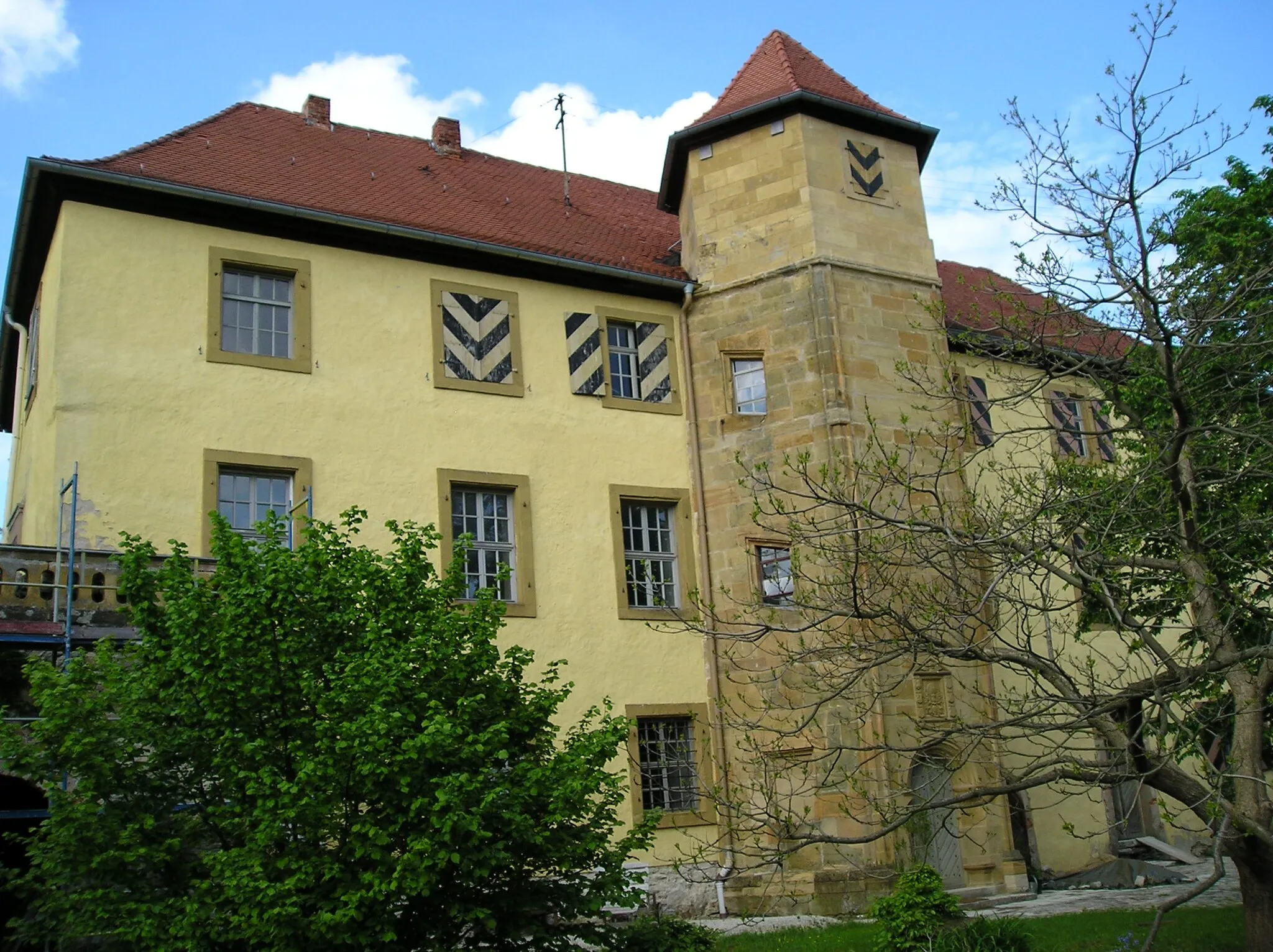
Saddle up for this 117 km road cycling adventure through Mittelfranken, showcasing stunning scenery, challenging climbs, and cultural highlights. With an ascent of 1734 meters, this route is best suited for experienced cyclists looking for a rewarding challenge. Along the way, you'll pass by Pinzberg, a charming village with traditional architecture. Rothenbühl offers panoramic views from its hills, providing a breathtaking vista of the surrounding landscape. For a tough climb, tackle the Koppenburg and enjoy the sense of achievement at the top. Admire the architectural marvels at the Aussichtsturm Hohenmirsberger Platte, offering stunning views. You'll then reach Hohenmirsberg, a medieval castle that adds historical richness to the route. Betzenstein impresses with its medieval atmosphere and charming streets. The striking rock formation of Hühnerstein will leave you in awe. As you ride through Etzelberg and Hüttenbach, enjoy the tranquil surroundings and peaceful countryside. The final highlight is Weiher, a picturesque lake that beautifully complements the route's scenic beauty.
Buckenhof to Turmberg
Conquer the challenging climb of Turmberg
Get ready for an exhilarating road cycling experience from Buckenhof to Turmberg. This 66-kilometer route offers a moderate challenge with an ascent of 394 meters. The highlight of this route is the climb to Turmberg, a challenging ascent that rewards you with panoramic views of the surrounding area. With a difficulty rating of 3 out of 5, this route is suitable for cyclists with some training and experience.

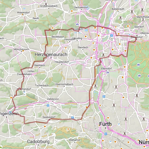
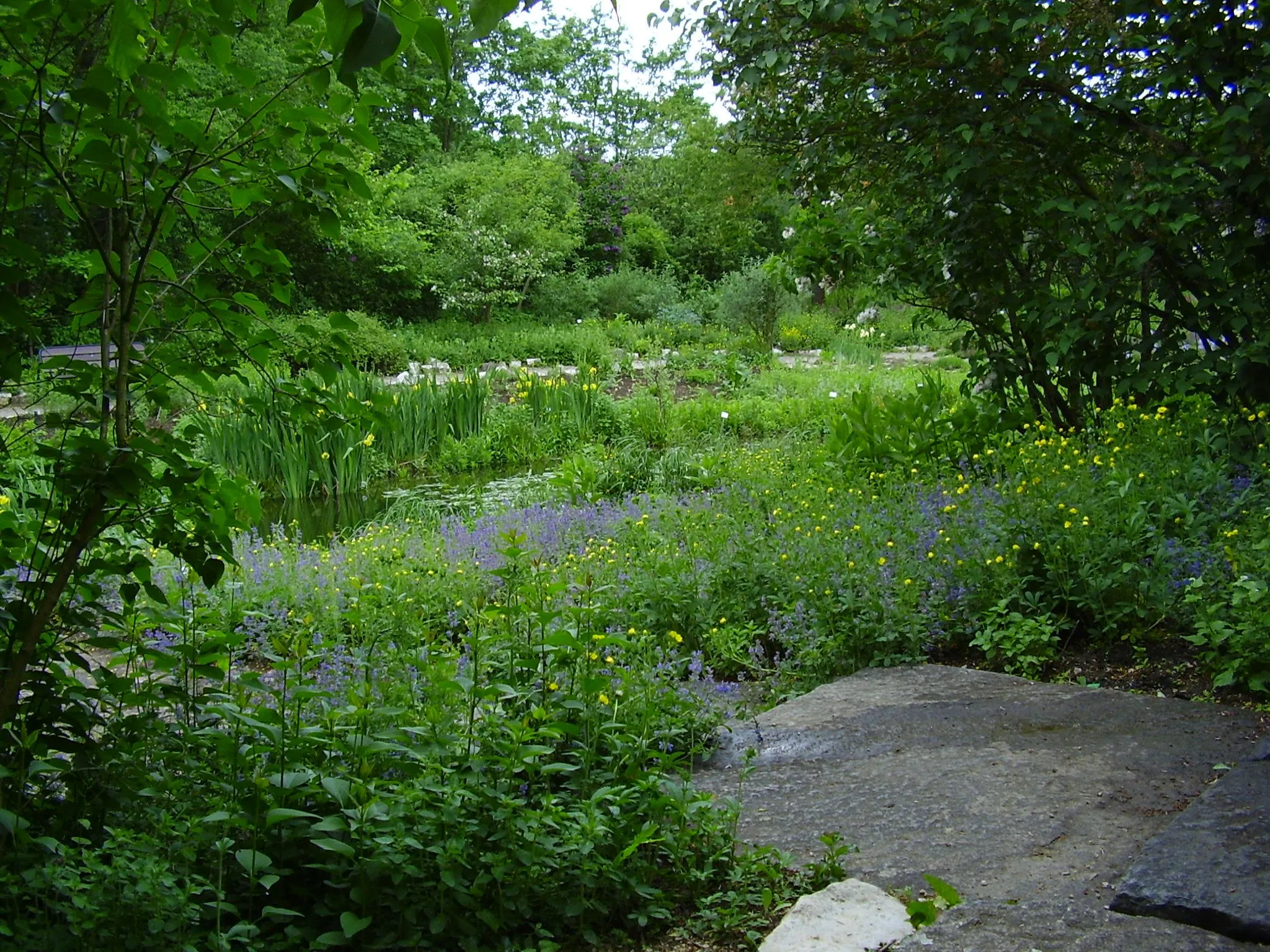
Discover the rural charm and idyllic landscapes of the region
With an ascent of 223 m and a distance of 45 km, this gravel route showcases the rustic charm and idyllic landscapes of the region. With its moderate difficulty level, it is perfect for leisurely rides and sightseeing. Along the way, cyclists will encounter traditional villages and picturesque countryside views.
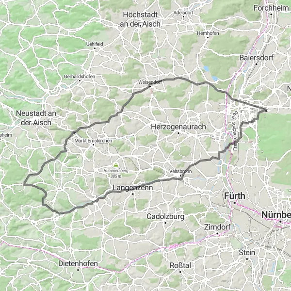
Embark on a challenging road cycling adventure through scenic landscapes
This road cycling route covers a total distance of 90 km with an ascent of 490 m. It is ideal for avid cyclists looking for a challenging and rewarding adventure. The route takes you through both rural and urban areas, offering a diverse and engaging experience. Prepare for steep climbs and exhilarating descents as you navigate the undulating terrain.
Nuernberg View Gravel Route
Enjoy stunning views of the city of Nuernberg from different vantage points
With a distance of 39 km and an ascent of 650 m, this gravel route offers cyclists a unique opportunity to enjoy breathtaking views of the city of Nuernberg and its surroundings. The diverse terrain makes it suitable for intermediate level cyclists. Make sure to capture the numerous panoramic vistas along the way.
Gravel Route in Mittelfranken
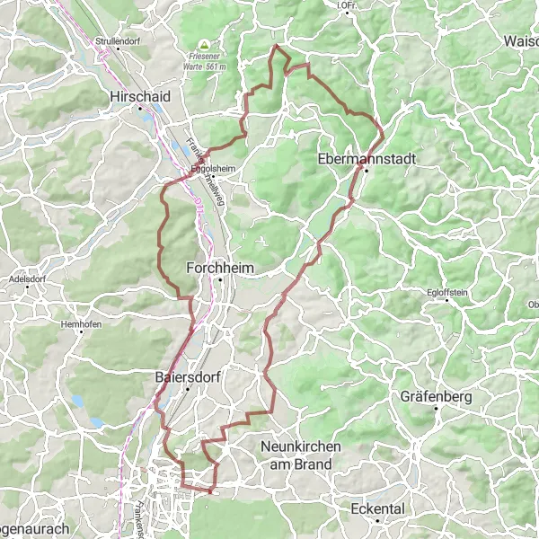
Explore scenic landscapes and unique artwork on this off-road cycling adventure.
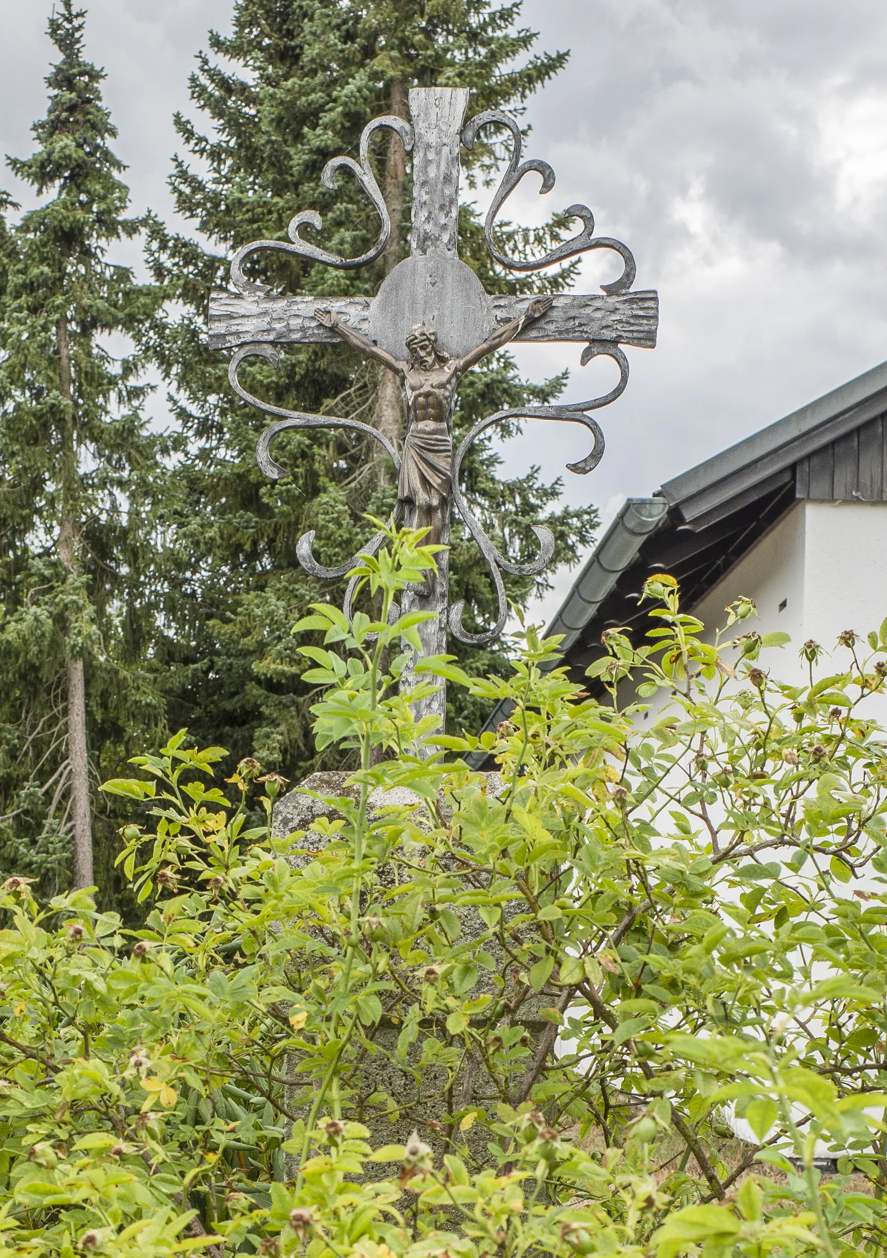
This gravel route in Mittelfranken takes you through diverse landscapes and offers stunning views throughout the ride. With a total ascent of 1204 meters and a distance of 85 km, the route will challenge and reward cyclists of all levels. Along the way, you'll encounter the Skulpturengarten, a garden filled with impressive sculptures. Bubenreuth is another highlight, known for its craftsmanship in violin-making. Hausen offers a picturesque setting with charming half-timbered houses. Make sure to stop at Rabensberg, a hilltop ruin that provides panoramic views of the surrounding countryside. The Schießberg will test your cycling abilities with its steep incline, but the breathtaking vistas make it all worth it. Continue riding and you'll reach Tiefenstürmig, a fascinating natural formation. After crossing paths with the Kreuz, a historic religious site, you'll arrive in Ebermannstadt, known for its old-town charm. The stunning Walberlaky enhances the experience with its unique geology. As you pedal through Pinzberg and Adlitz, take a moment to enjoy the scenic landscapes and the impressive views overlooking Nürnberg. Lastly, don't miss the expansive vista from the viewpoint near the route's end.
Cycling routes nearby:

Nearby regions: