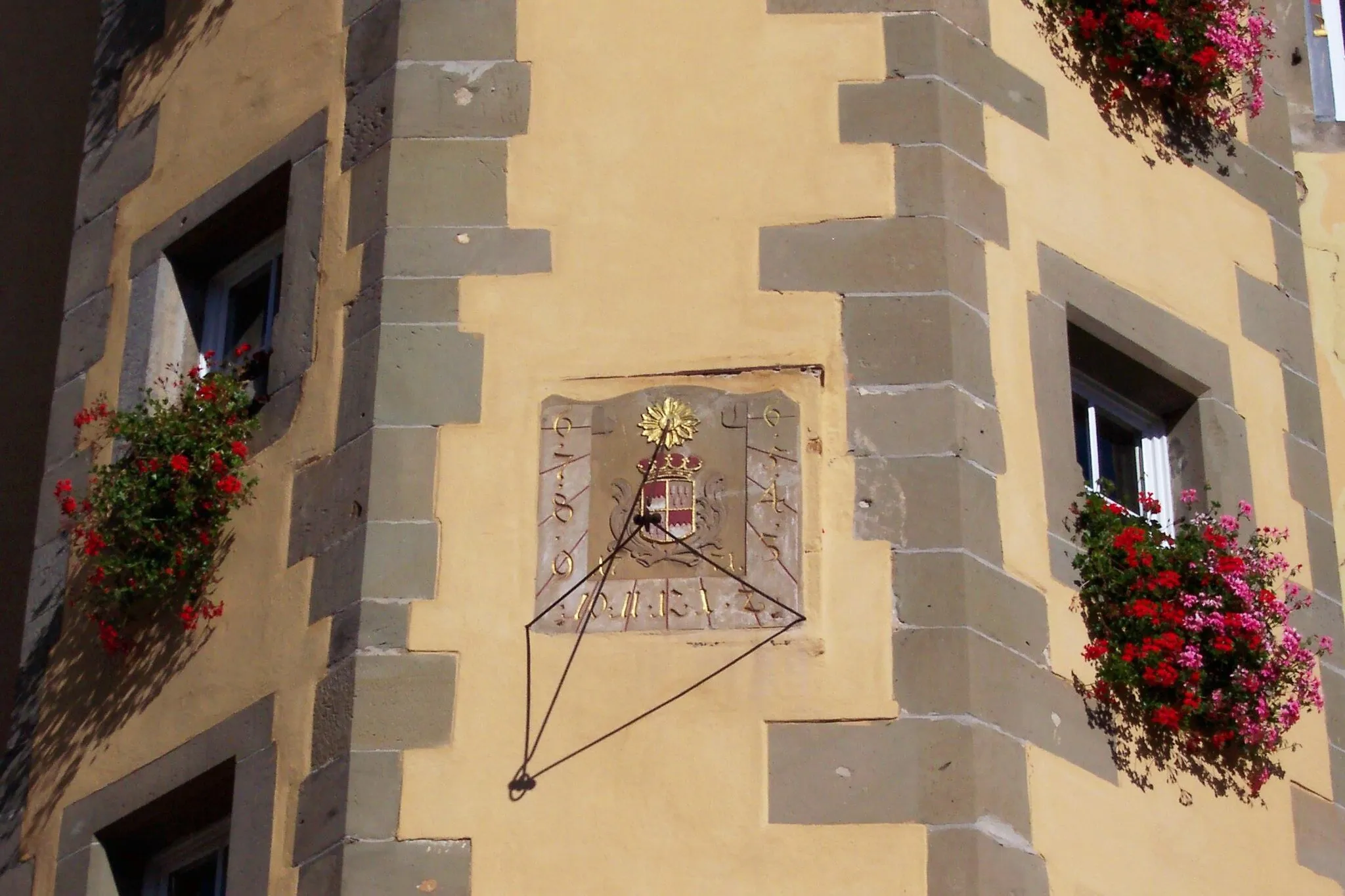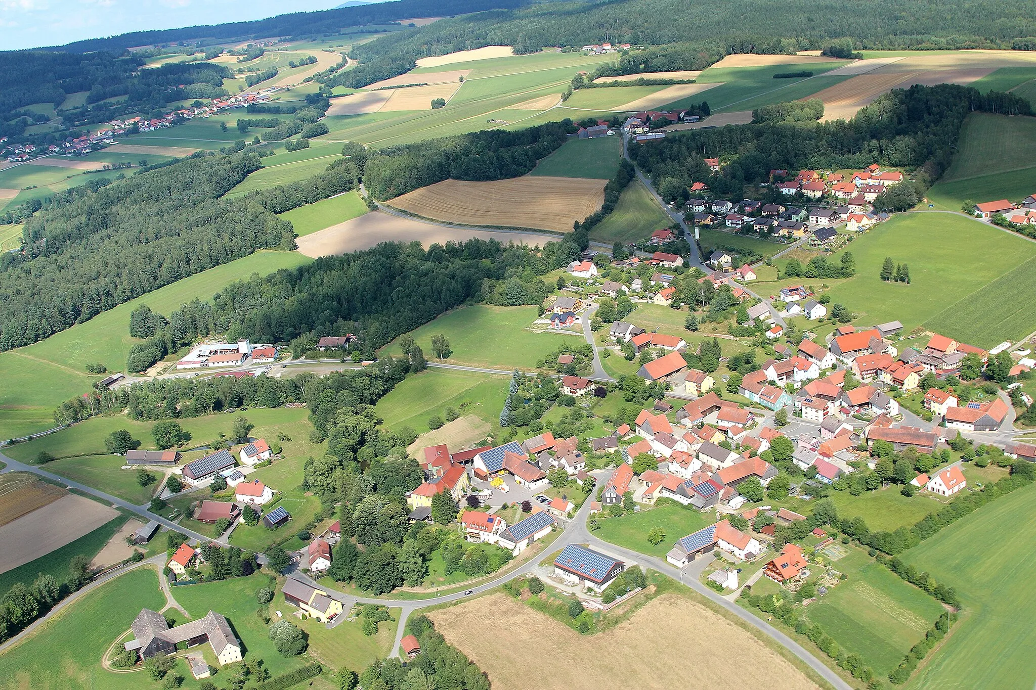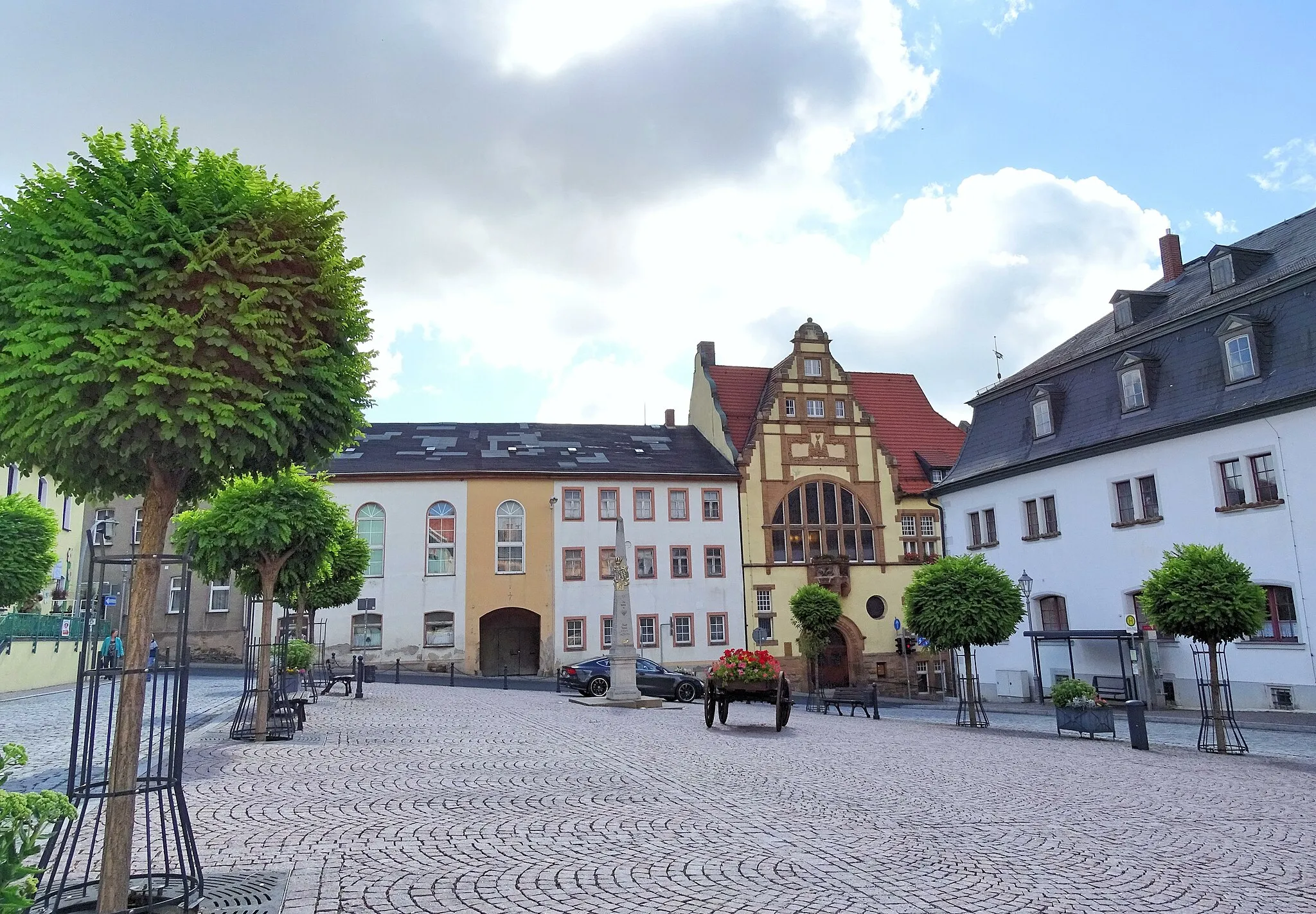
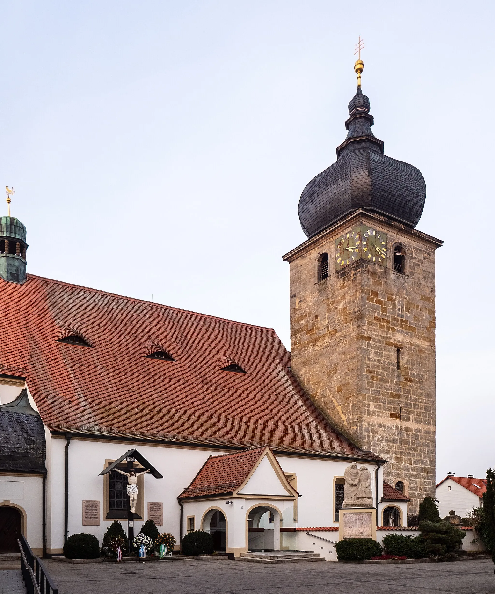
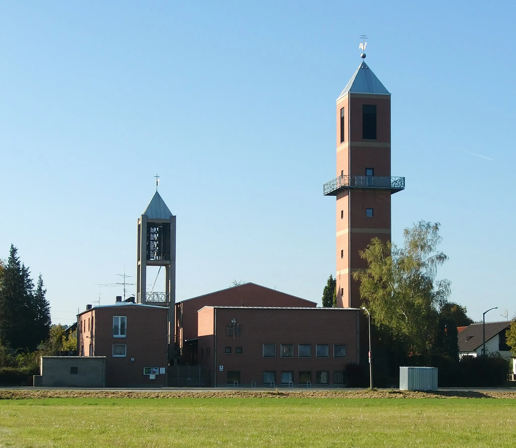
Cycling through the picturesque Bavarian villages and countryside of Marloffstein.
Cycling routes from Marloffstein
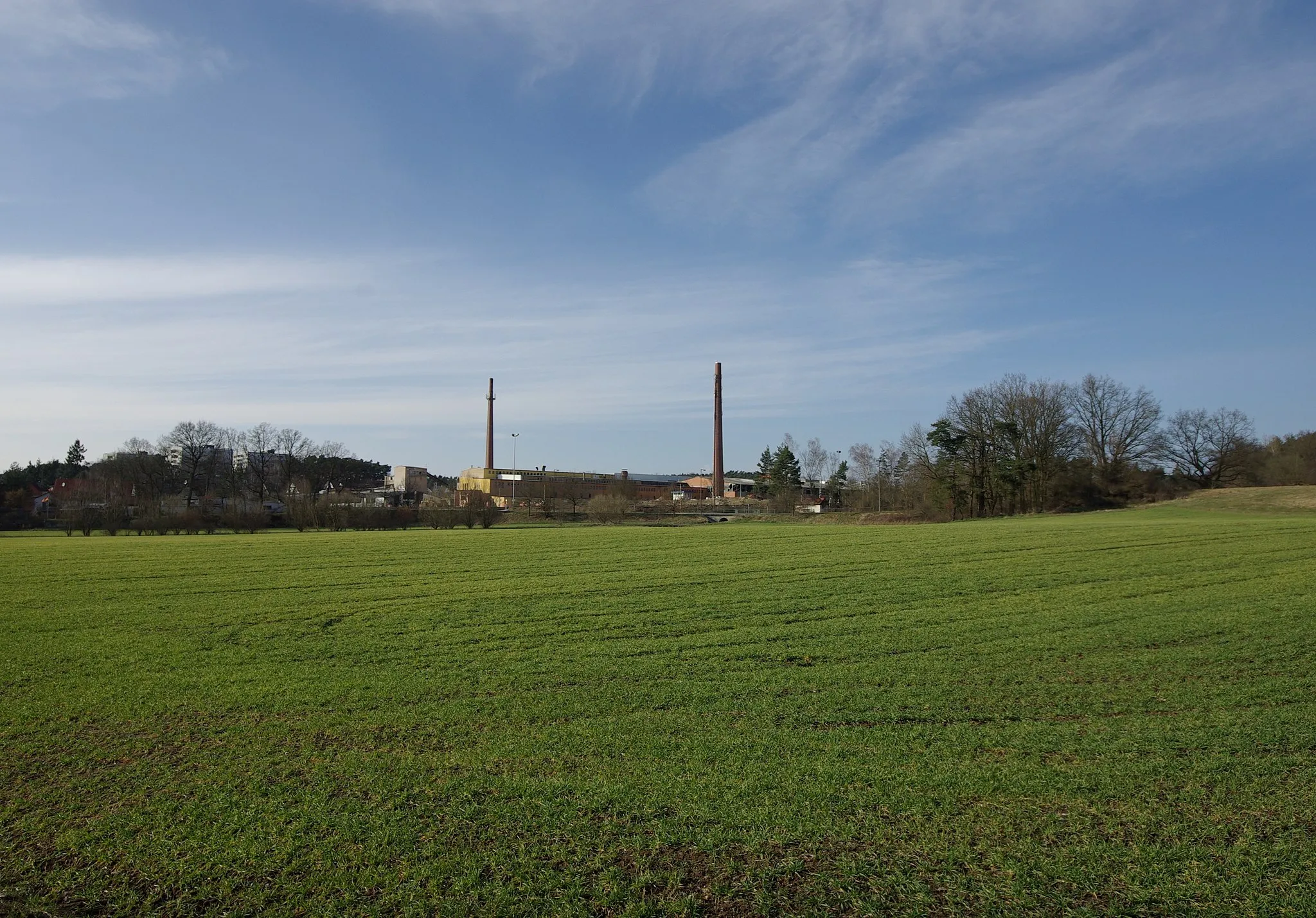
Marloffstein, located in Mittelfranken, Germany, offers an excellent cycling experience for both road cyclists and gravel cyclists. The locality boasts well-maintained roads and picturesque cycling routes that take riders through charming Bavarian villages and scenic countryside. Road cyclists can enjoy the rolling hills and challenging climbs in the area. Gravel cyclists have access to various off-road trails, including the popular Kalchreuth-Kirchehrenbach trail. Marloffstein is also close to the famous Franconian Switzerland, a rock climbing paradise and a popular spot for outdoor enthusiasts. With its diverse terrain and beautiful landscapes, Marloffstein is a fantastic destination for cyclists of all levels.
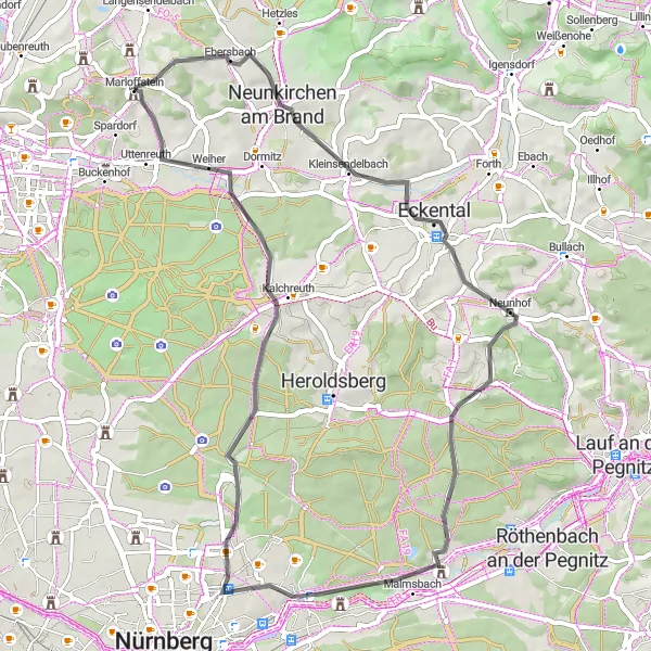
A rugged and adventurous gravel route around Marloffstein
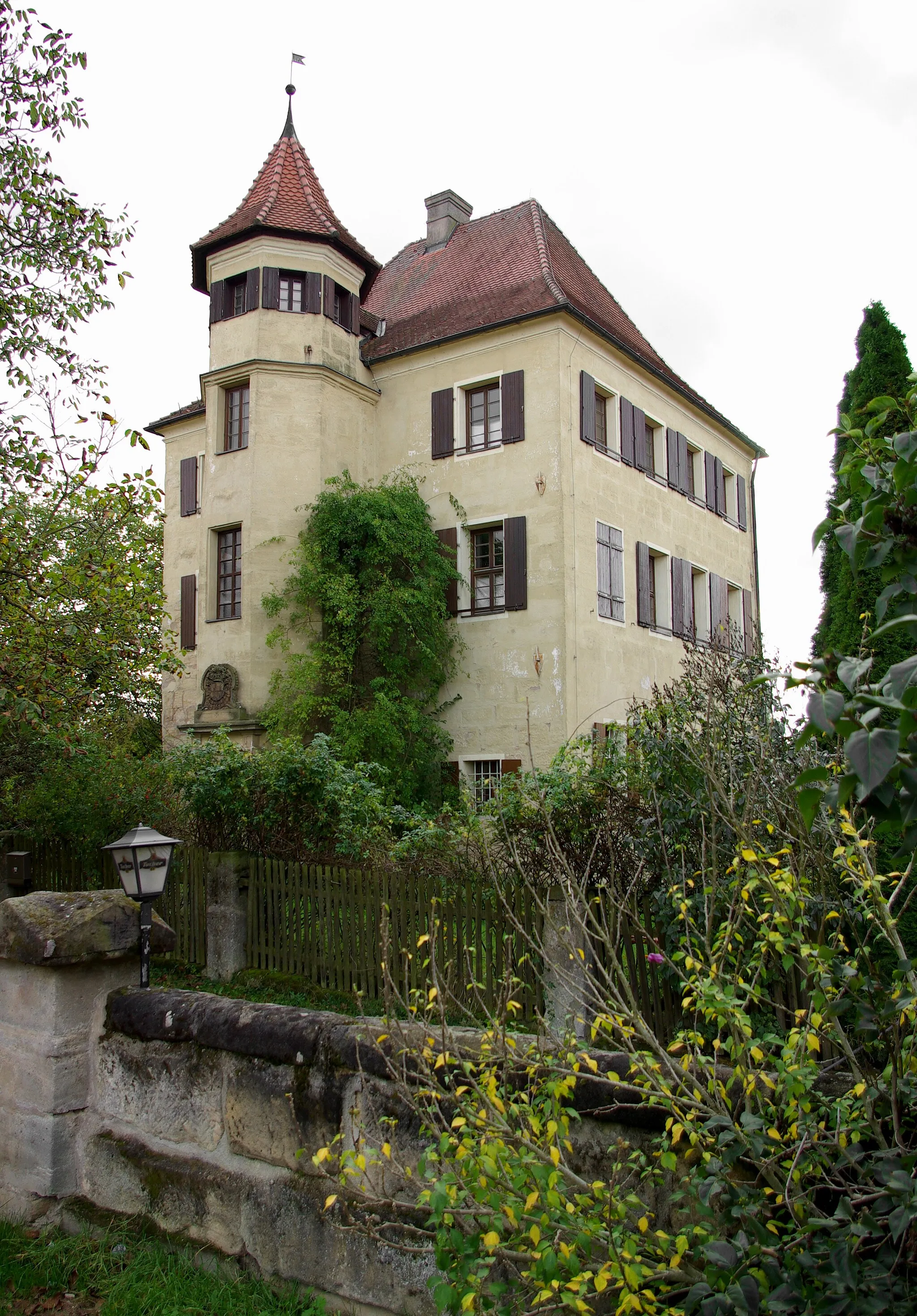
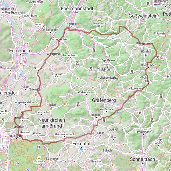
This 81 km gravel route takes you on a wild adventure around Marloffstein, offering stunning views of Nürnberg along the way. With 1,254 meters of ascent, this challenging ride will test your skills and stamina. As you pedal through Pinzberg, Almersberg, Bleistein, and other picturesque towns, you'll experience the tranquil beauty of the Franconian countryside. The route also includes stops at the historic Schloss Puckenhof and Weidenbühl, adding a touch of culture to your journey. Overall, this route promises a thrilling off-road cycling experience like no other.
Discover hidden gems and breathtaking landscapes on the Off the Beaten Path route near Marloffstein
Escape the beaten path and immerse yourself in the tranquil beauty of the Franconian countryside with the 74 km Off the Beaten Path road cycling route starting near Marloffstein. With an ascent of 1,047 meters, this route offers a satisfying challenge for cycling enthusiasts. Along the way, you'll encounter hidden gems such as the charming village of Hausen at 11 km and the idyllic Eschlipp at 31 km. Kreuz, located at the 36 km mark, captures the essence of traditional Franconian culture, providing a delightful stop for exploration. As you approach 47 km, the majestic Breitenstein captivates with its grandeur and natural beauty. Don't miss a visit to Hundsboden at 48 km, where the lush green landscapes create a serene and peaceful backdrop. Your journey concludes with the stunning sights of Gugel at 68 km and Rosenbach at 72 km, each showcasing their unique charm and natural splendor. Overall, this route promises not only a physical challenge but also an opportunity to discover the hidden gems and breathtaking landscapes that make the region so special.
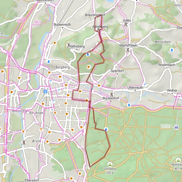
A leisurely gravel ride exploring the Bavarian charm near Marloffstein
Embark on a leisurely 22 km gravel ride and discover the hidden Bavarian charm near Marloffstein. With an ascent of 295 meters, this route offers a pleasant and scenic ride suitable for all skill levels. Start your journey at Bräuningshof, situated at the beginning of the trail, and admire the picturesque landscapes as you pedal through this idyllic location. Nurture your adventurous spirit as you reach Turmberg at 11 km, known for its magnificent views of the surrounding countryside. Atzelsberg, at 20 km, provides a serene escape amidst nature and an opportunity to embrace the tranquility. As you conclude your ride, reflect on the breathtaking beauty of the Franconian countryside and the Bavarian charm that defines this region.

Discover the scenic beauty of Mittelfranken on this road cycling route
Cycle through the beautiful landscapes of Mittelfranken on this 80-kilometer route from Marloffstein to Amlingstadt. With a total ascent of 611 meters, the route provides a moderate challenge for well-trained amateurs. Highlights along the way include Kleinseebach, a charming village with traditional Bavarian houses, Geiersberg offering a stunning view of the region, and Kellerberg known for its picturesque vineyards. This road cycling route showcases the diverse beauty of the region and is perfect for those seeking a memorable cycling experience.
Experience a thrilling gravel adventure near Möhrendorf
Embark on a thrilling gravel adventure near Möhrendorf with this 73-kilometer route. With a total ascent of 1056 meters, the route provides a challenging experience for gravel enthusiasts. Highlights along the way include a stunning view of Nuremberg, Möhrendorf offering scenic landscapes, Haid surrounded by lush forests and tranquil nature, and Pinzberg known for its historical importance. This gravel adventure allows you to explore the diverse beauty of the region and test your skills on challenging gravel paths.

Embark on a thrilling gravel adventure near Marloffstein
Experience the thrill of gravel cycling near Marloffstein with this 45-kilometer route. With a total ascent of 429 meters, the route is suitable for both amateur and experienced gravel cyclists. The highlights along the way include a stunning view of Nuremberg, Bräuningshof with its idyllic scenery, Hemhofen known for its charming old town, and Rabensberg offering panoramic views of the surrounding area. This gravel adventure provides a unique and exhilarating journey through the beautiful countryside of Mittelfranken.
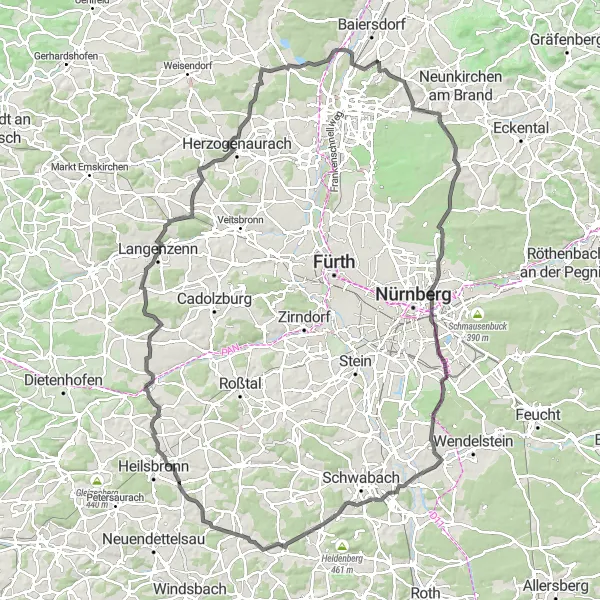
Cycle through the picturesque landscapes of Mittelfranken
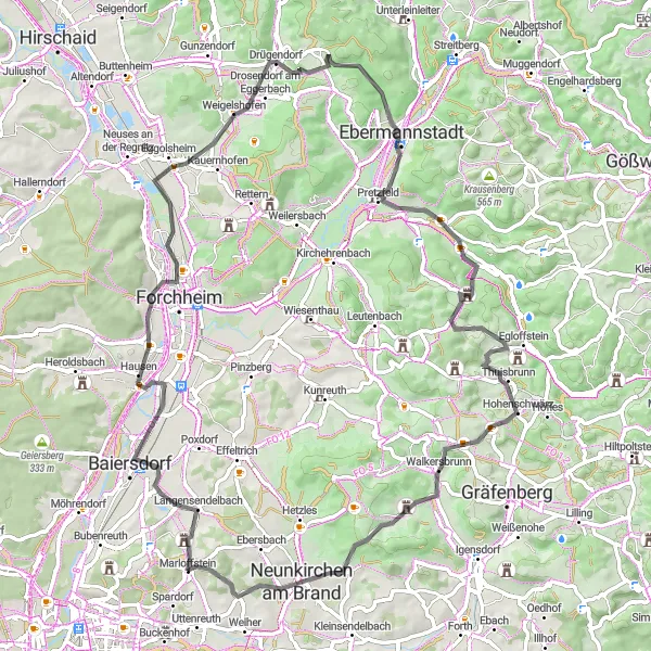
This road cycling route takes you from Marloffstein to Großhabersdorf, offering picturesque landscapes and charming villages along the way. With a total ascent of 1031 meters and a distance of 123 kilometers, it is suitable for well-trained amateurs. The route passes through highlights such as Weiher, Mistelberg, Ziegelstein, and Eichenbühl, offering beautiful views and interesting historical sights. Overall, this route provides an enjoyable cycling experience with moderate difficulty.
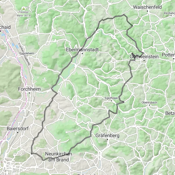
Experience the rollercoaster-like ride of the Hills and Valleys route near Marloffstein
Prepare yourself for an exhilarating road cycling experience with the 82 km Hills and Valleys route starting near Marloffstein. With a challenging ascent of 1,363 meters, this ride is not for the faint-hearted. As you conquer the twists and turns of Pinzberg, Streitberg, and Ermreuth, you'll be treated to awe-inspiring views that will leave you breathless. Johannisburg, a small historic village, is a must-visit highlight at the 43 km mark, boasting beautiful traditional Franconian architecture and a serene atmosphere. Another notable stop along the route is Gugel at 75 km, where you can take a break, snap some photos, and witness firsthand the region's natural beauty.
Explore the idyllic countryside near Marloffstein on this road cycling route
Experience the beauty of the Middle Franconian countryside on this 54-kilometer road cycling route starting from Marloffstein. With a total ascent of 494 meters, this route is suitable for well-trained amateurs. Highlights along the way include Gugel, offering scenic views of the surrounding landscapes, Schloss II with its impressive architecture and historical importance, and Sommerleite known for its charming vineyards. This countryside route provides a peaceful and serene cycling experience, perfect for those seeking to escape the hustle and bustle of the city.
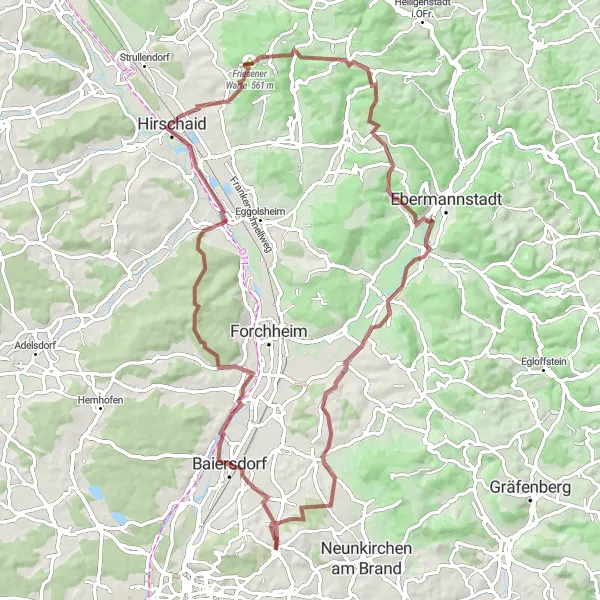
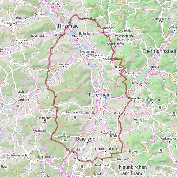
An exhilarating gravel ride showcasing the natural beauty of Mittelfranken
Embark on a gravel adventure through the scenic landscape of Mittelfranken. This 80 km route with 1,121 meters of ascent offers a diverse range of terrain and breathtaking views. Discover charming highlights along the way, including the historic Rabensberg castle ruins and the panoramic viewpoint at Friesener Warte. Conquer the challenging climbs of Tiefenhöchstadt and Niedermirsberg while taking in the stunning vistas. The route culminates at Marloffstein, a picturesque village nestled amidst green hills.
Cycling routes nearby:

Nearby regions: