Möhrendorf Gravel Adventure
A gravel cycling route starting from Marloffstein
Experience a thrilling gravel adventure near Möhrendorf
Map
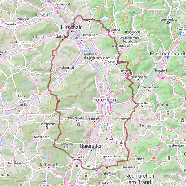
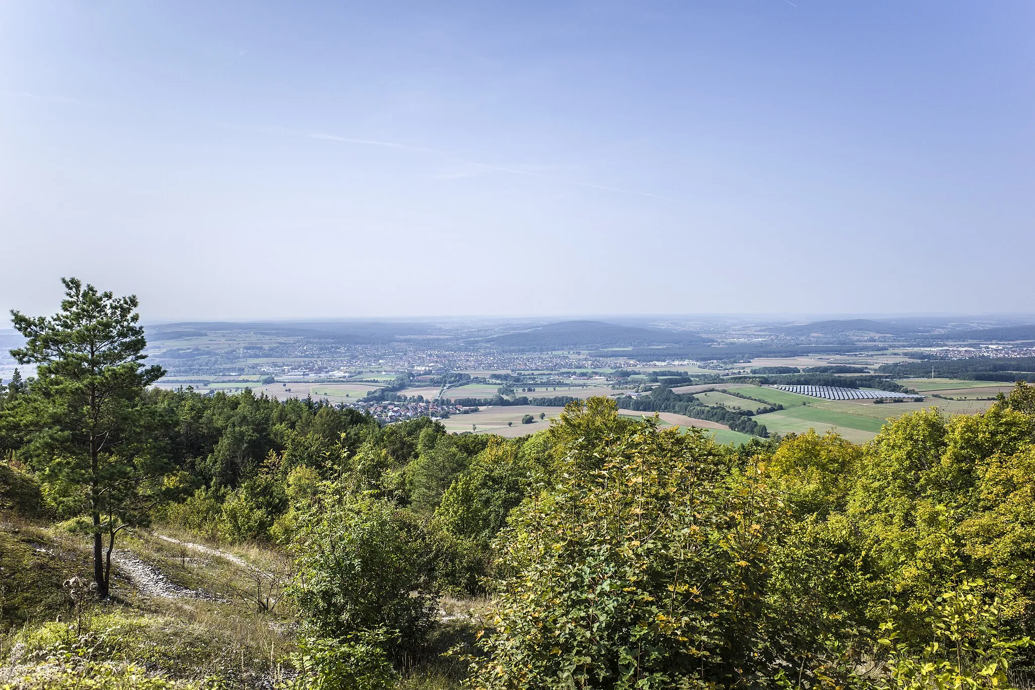
Embark on a thrilling gravel adventure near Möhrendorf with this 73-kilometer route. With a total ascent of 1056 meters, the route provides a challenging experience for gravel enthusiasts. Highlights along the way include a stunning view of Nuremberg, Möhrendorf offering scenic landscapes, Haid surrounded by lush forests and tranquil nature, and Pinzberg known for its historical importance. This gravel adventure allows you to explore the diverse beauty of the region and test your skills on challenging gravel paths.
gravel
73 km
1056 m
Tough
Route profile
Highlights on the route
0 km
0 km
Start: Atzelsberg Village centerMarloffstein: Cycling through the picturesque Bavarian villages and countryside of Marloffstein.
Marloffstein, located in Mittelfranken, Germany, offers an excellent cycling experience for both road cyclists and gravel cyclists. The locality boasts well-maintained roads and picturesque cycling routes that take riders through charming Bavarian villages and scenic countryside. Road cyclists can enjoy the rolling hills and challenging climbs in the area. Gravel cyclists have access to various off-road trails, including the popular Kalchreuth-Kirchehrenbach trail. Marloffstein is also close to the famous Franconian Switzerland, a rock climbing paradise and a popular spot for outdoor enthusiasts. With its diverse terrain and beautiful landscapes, Marloffstein is a fantastic destination for cyclists of all levels.0 km
0 km
View to NuernbergViewpointEnjoy a breathtaking view of Nuremberg from a scenic lookout point.
4 km
4 km
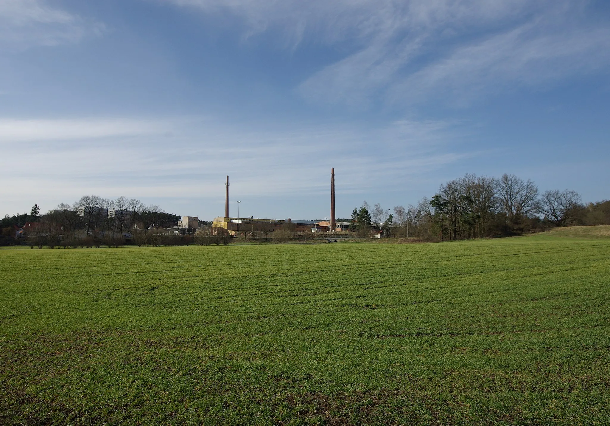
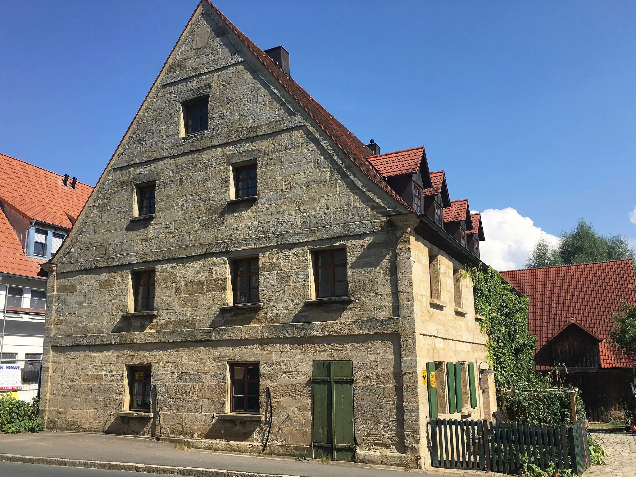
MöhrendorfVillageMöhrendorf is a picturesque village with charming streets and traditional Franconian architecture.
20 km
20 km
HaidVillageHaid offers scenic gravel paths surrounded by lush forests and peaceful nature.
23 km
23 km
Kreuzberg341 mPeakKreuzberg is a hill with historical significance and provides panoramic views of the surrounding countryside.
31 km
31 km
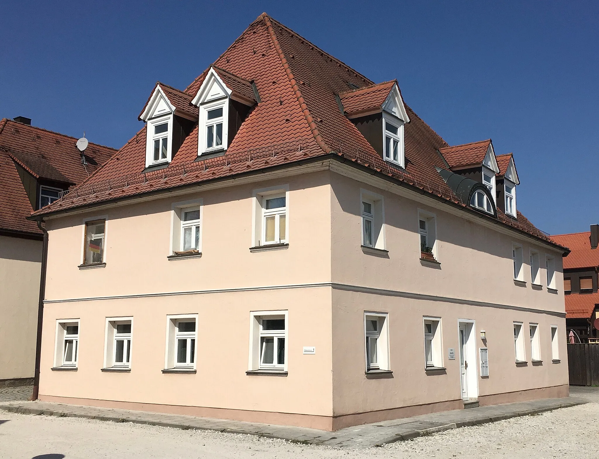
HirschaidTownHirschaid is a small town with a rich history and beautiful landscapes.
38 km
38 km
Friesener WarteViewpointFriesener Warte is a lookout tower offering stunning views of the surrounding countryside.
50 km
50 km
Högelstein497 mPeakHögelstein is a hill known for its steep trails and impressive rock formations.
61 km
61 km
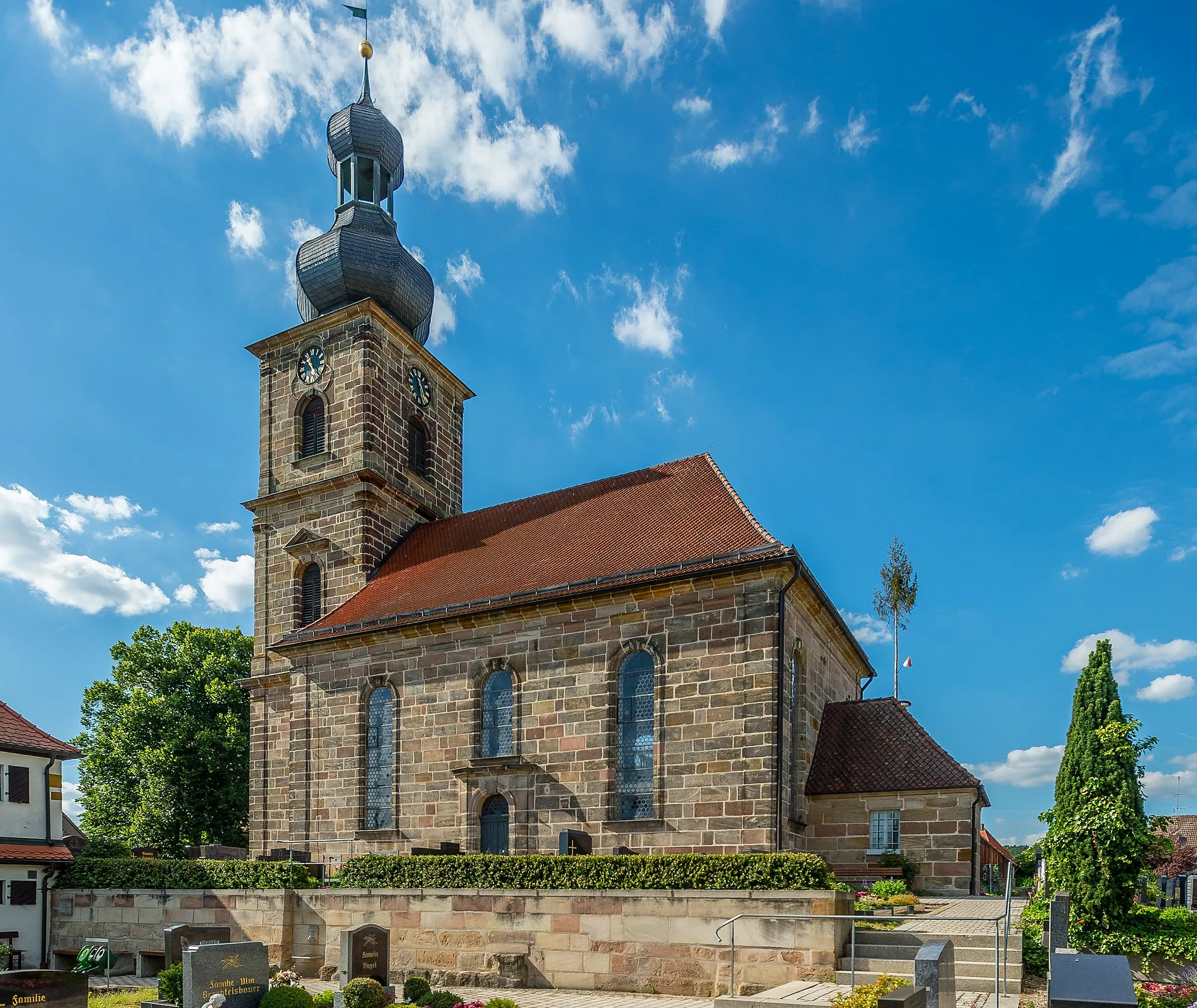
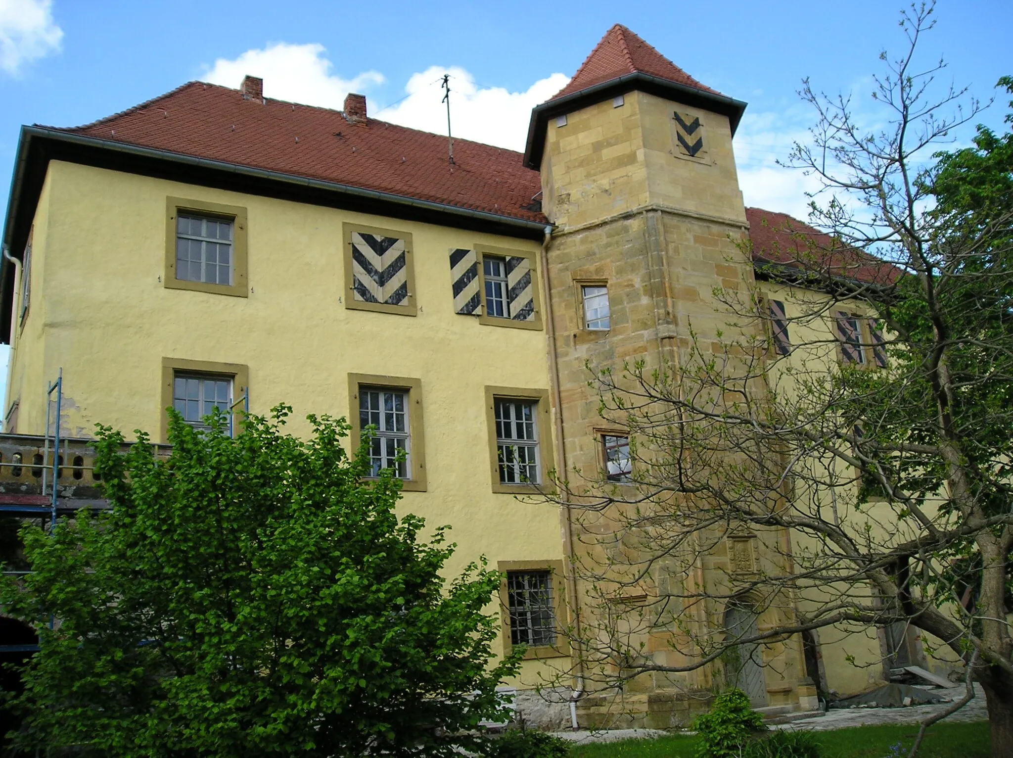
PinzbergVillagePinzberg is a historic village with well-preserved architecture and a fascinating past.
71 km
71 km
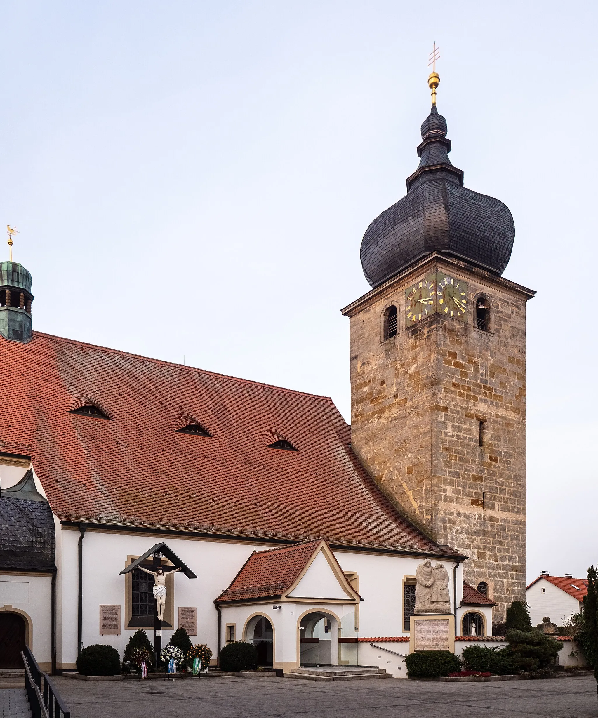
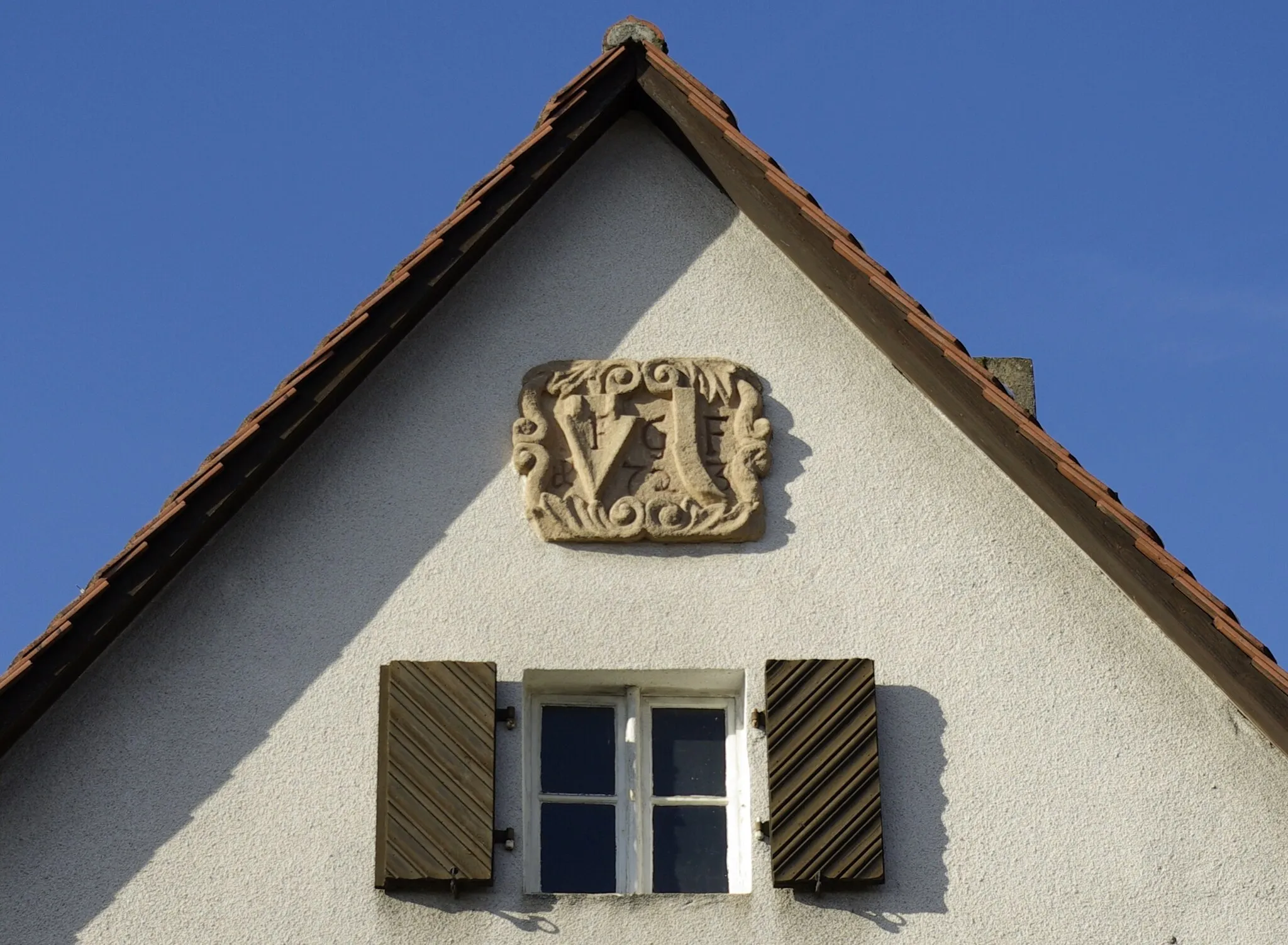
AdlitzVillageAdlitz is a quaint village with well-preserved historical buildings and a tranquil atmosphere.
73 km
73 km
Finish: Atzelsberg Village centerMarloffstein: Cycling through the picturesque Bavarian villages and countryside of Marloffstein.
Cycling routes from Marloffstein:
Marloffstein Countryside Road Cycling Route Bavarian Charm - Leisurely Gravel Ride Hills and Valleys - Road Cycling Extravaganza Off the Beaten Path - Scenic Road Cycling Around Marloffstein – Gravel Adventure Gravel Adventure through Mittelfranken Marloffstein Gravel Adventure Scenic Road Cycling Route from Marloffstein to Amlingstadt Möhrendorf Gravel Adventure Marloffstein to Großhabersdorf Road Cycling Route
Cycling routes nearby: