Serene cycling experience amidst picturesque countryside.
Cycling routes from Langensendelbach
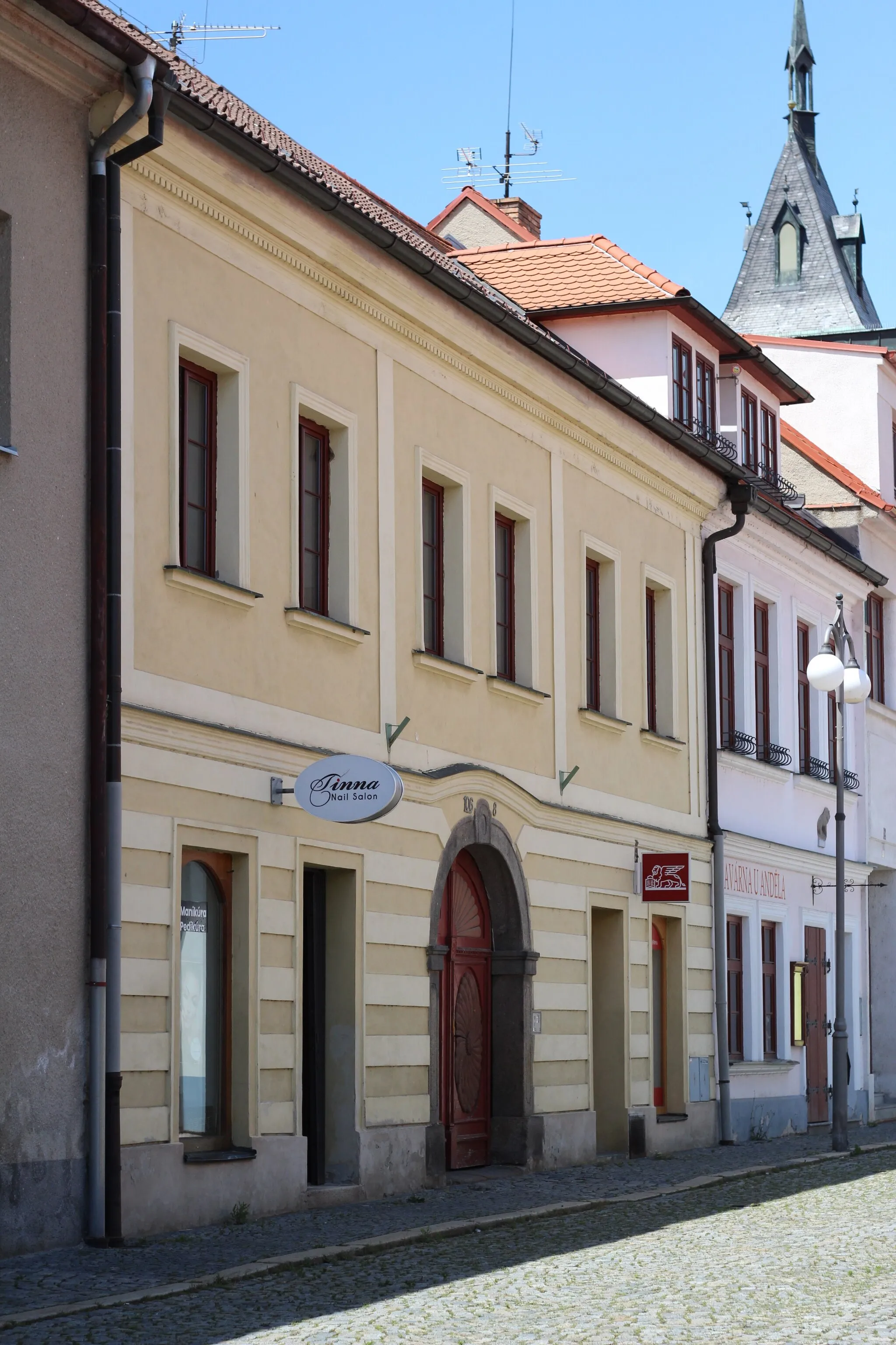
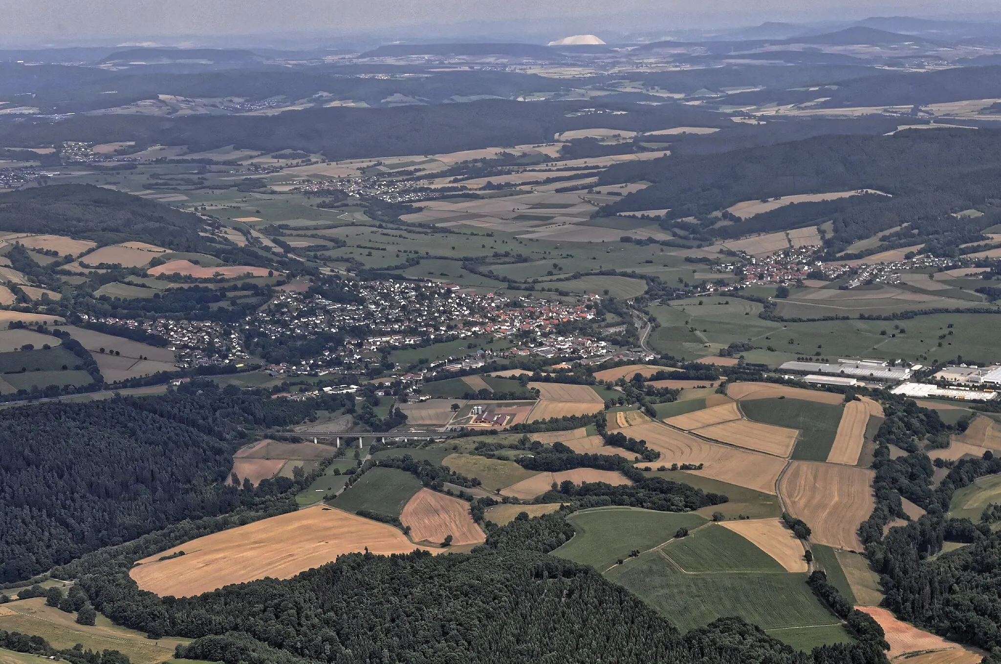
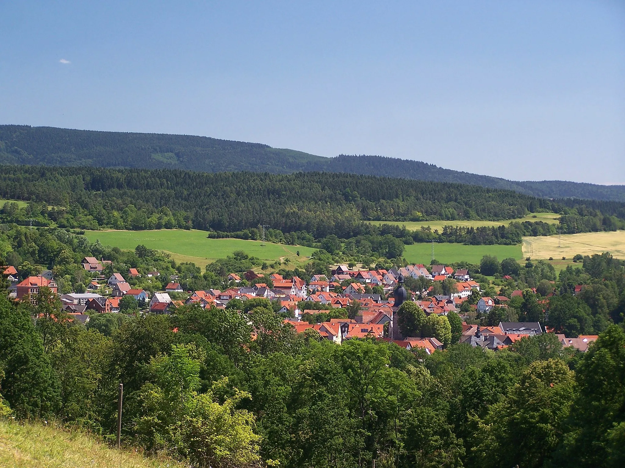
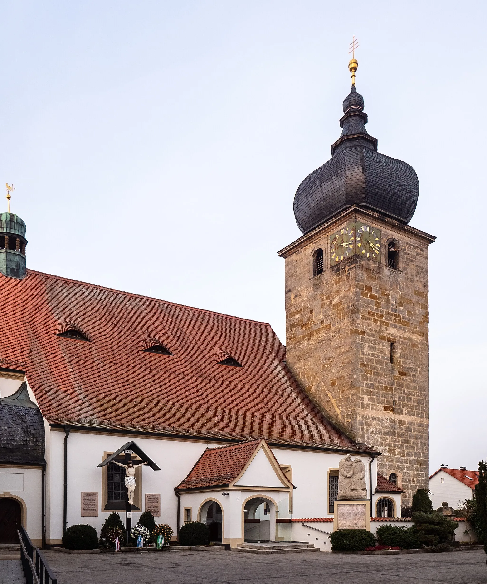
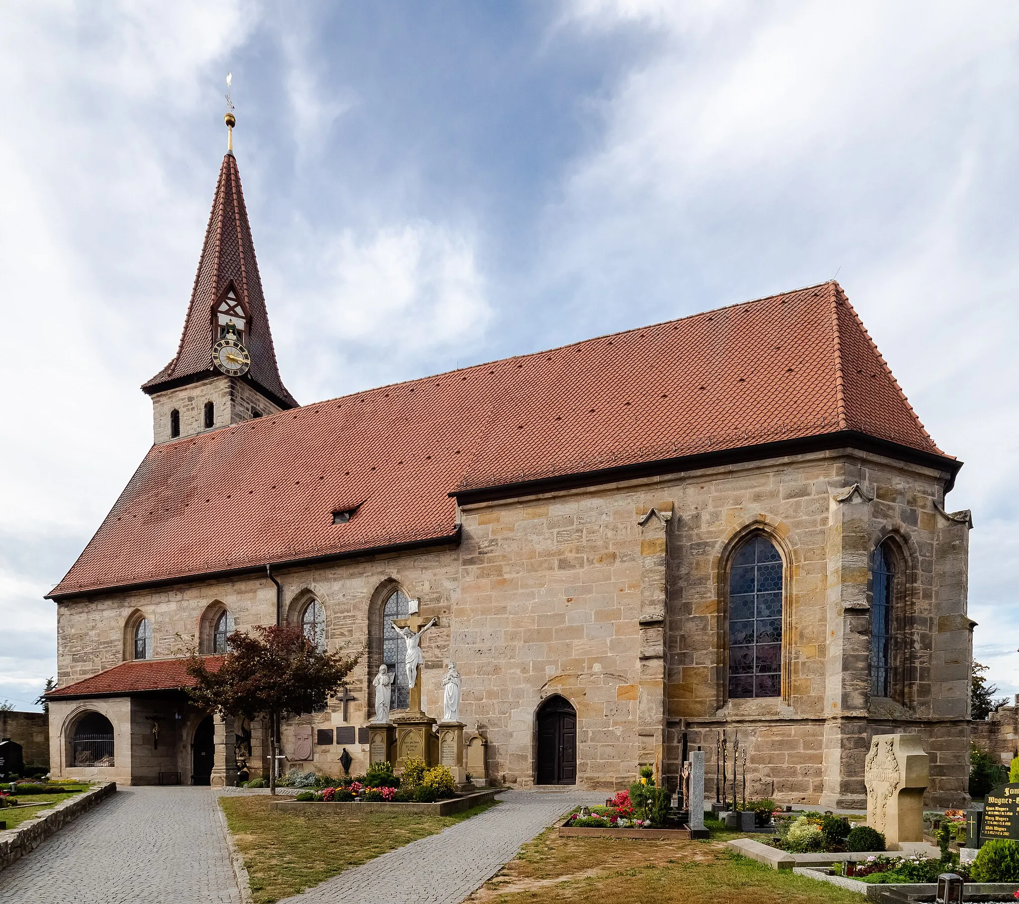
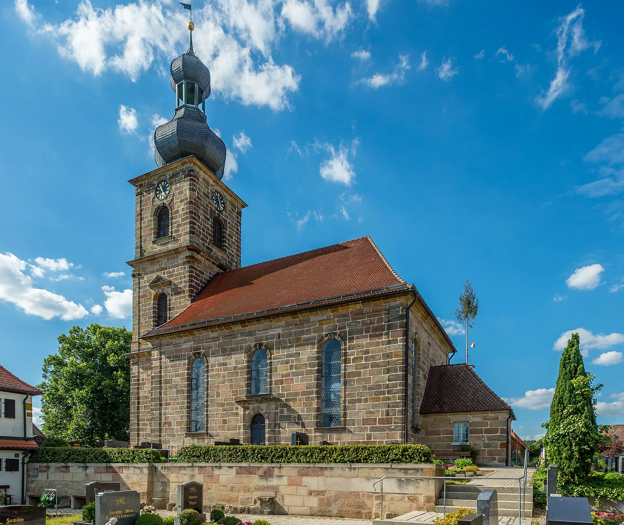
Langensendelbach is a locality located in Oberfranken, Germany. From a road and gravel cyclist's perspective, Langensendelbach offers a range of cycling opportunities suitable for all skill levels. The region is characterized by its charming countryside, with quiet roads and beautiful landscapes providing an enjoyable cycling experience. One notable cycling spot nearby is Gräfenberg Rail Trail, a popular route tracing the former railway line and offering a scenic cycling path. With its serene surroundings and cycling-friendly atmosphere, Langensendelbach is a great location for a cycling adventure.
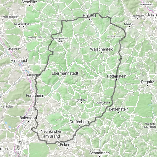
Panoramic Road Tour
Embark on a road cycling adventure through the scenic landscapes of Oberfranken.
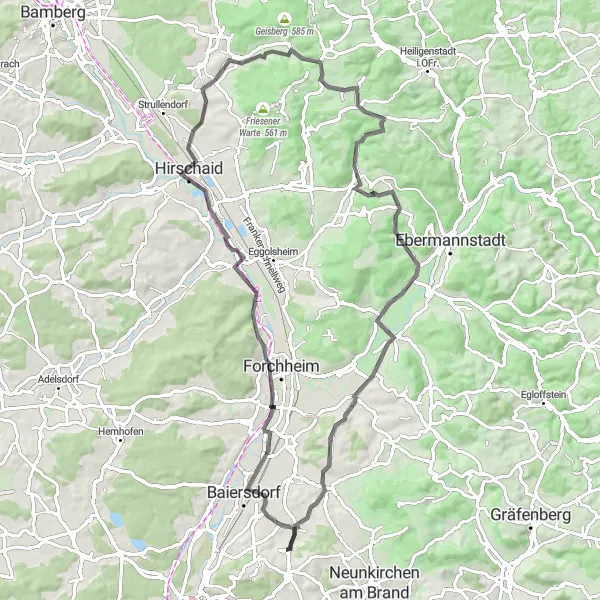
This road cycling route takes you on a journey through the undulating hills and charming towns of Oberfranken. With a total ascent of 769m and a distance of 78km, it offers a moderate challenge for well-trained amateur cyclists. Starting from Langensendelbach, you will pass through notable highlights such as Forchheim, Hirschaid, Rotenberg, Zeegendorf, Lindesberg, Kirchehrenbach, and Effeltrich, before returning to your starting point. The route provides stunning views of the surrounding countryside and an opportunity to experience the region's rich cultural heritage. With an epicness rating of 3, this tour promises a rewarding cycling experience.
Discover the historical treasures and artistic wonders of Oberfranken on this road cycling tour.
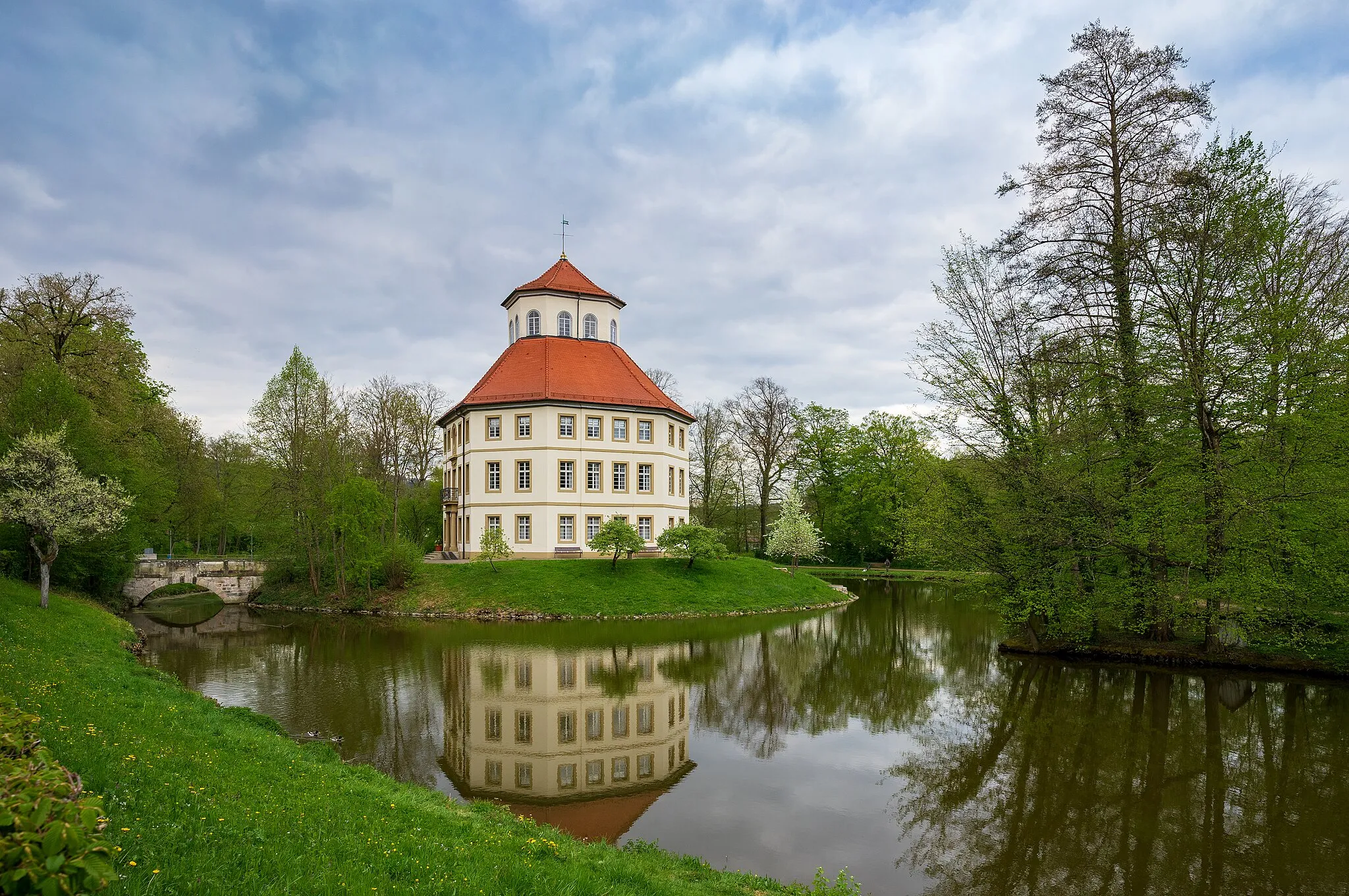
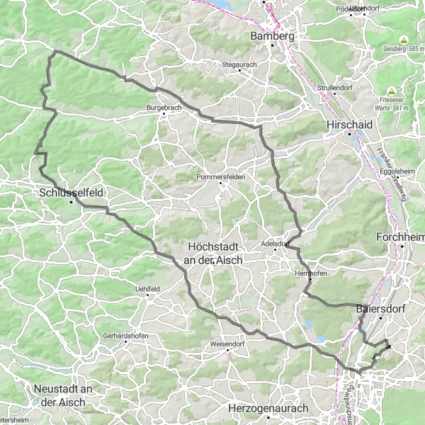
If you're looking to combine cycling with history and culture, this road tour is the perfect choice. With a total ascent of 980m and a distance of 119km, this challenging route will take you through the scenic landscapes and historic towns of Oberfranken. Starting from Langensendelbach, highlights of the tour include the Skulpturengarten in Schlüsselfeld, the town of Erlangen with its baroque-style architecture, the charming village of Großenseebach, Rinsachhöhe overlooking the surrounding hills, Burgwindheim with its impressive medieval castle ruins, Zettmannsdorf with its serene lake, Frensdorf with its lush vineyards, Röttenbach with its picturesque landscapes, Bubenreuth with its rich musical heritage, and breathtaking views of Nürnberg. With a difficulty level of 4, this tour is best suited for experienced cyclists. With an epicness rating of 4, this route promises a truly memorable journey.
Cycle through history on the Marloffstein Castle Loop
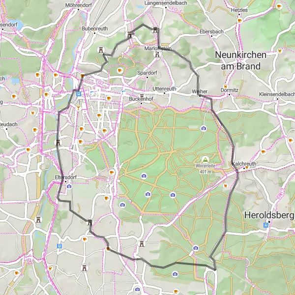
Immerse yourself in history on this 43 km road cycling route that takes you to the captivating Marloffstein Castle and beyond. With a total ascent of 391 meters, this route offers a moderate challenge suitable for cyclists of all levels. Highlights along the way include the beautiful village of Großgründlach, the charming town of Erlangen, and the stunning Skulpturengarten where you can admire unique works of art. The difficulty level of this route is rated 1 out of 5, making it ideal for leisurely rides. With a score of 2 out of 5 for epicness, this route promises a pleasant and enjoyable cycling experience. Discover the combination of scenic beauty and cultural heritage as you explore the Marloffstein region on two wheels.
Embark on an exciting gravel adventure from Wiesenthau to Effeltrich
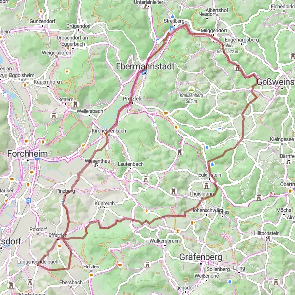
Explore the hidden gems of the Wiesenthau and Effeltrich regions on this 67 km gravel cycling route. With a total ascent of 1096 meters, this route offers a thrilling challenge for gravel enthusiasts. Highlights along the way include the iconic Walberla rock formation, the picturesque town of Ebermannstadt, and the stunning views from the Rangener Berg. The difficulty level of this route is rated 3 out of 5, making it suitable for experienced gravel cyclists. With a score of 4 out of 5 for epicness, this route promises an unforgettable gravel adventure. Immerse yourself in the rugged beauty of the Franconian countryside as you tackle this captivating route.
Embark on a gravel adventure through Bubenreuth and surrounding areas
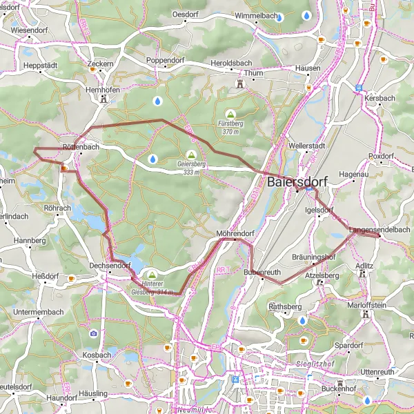
Discover the beauty of the Bubenreuth region on this 33 km gravel cycling route. With a total ascent of 204 meters, this route offers a moderate challenge suitable for gravel cyclists of all levels. Highlights along the way include the scenic Vogelbeobachtungswand, the charming village of Röttenbach, and the picturesque landscapes of the Geiersberg. The difficulty level of this route is rated 1 out of 5, making it accessible for leisurely rides. With a score of 2 out of 5 for epicness, this route promises a pleasant gravel adventure. Experience the tranquility of nature as you pedal through the captivating Bubenreuth countryside.
Enjoy a scenic ride from Forchheim to Atzelsberg Castle and back
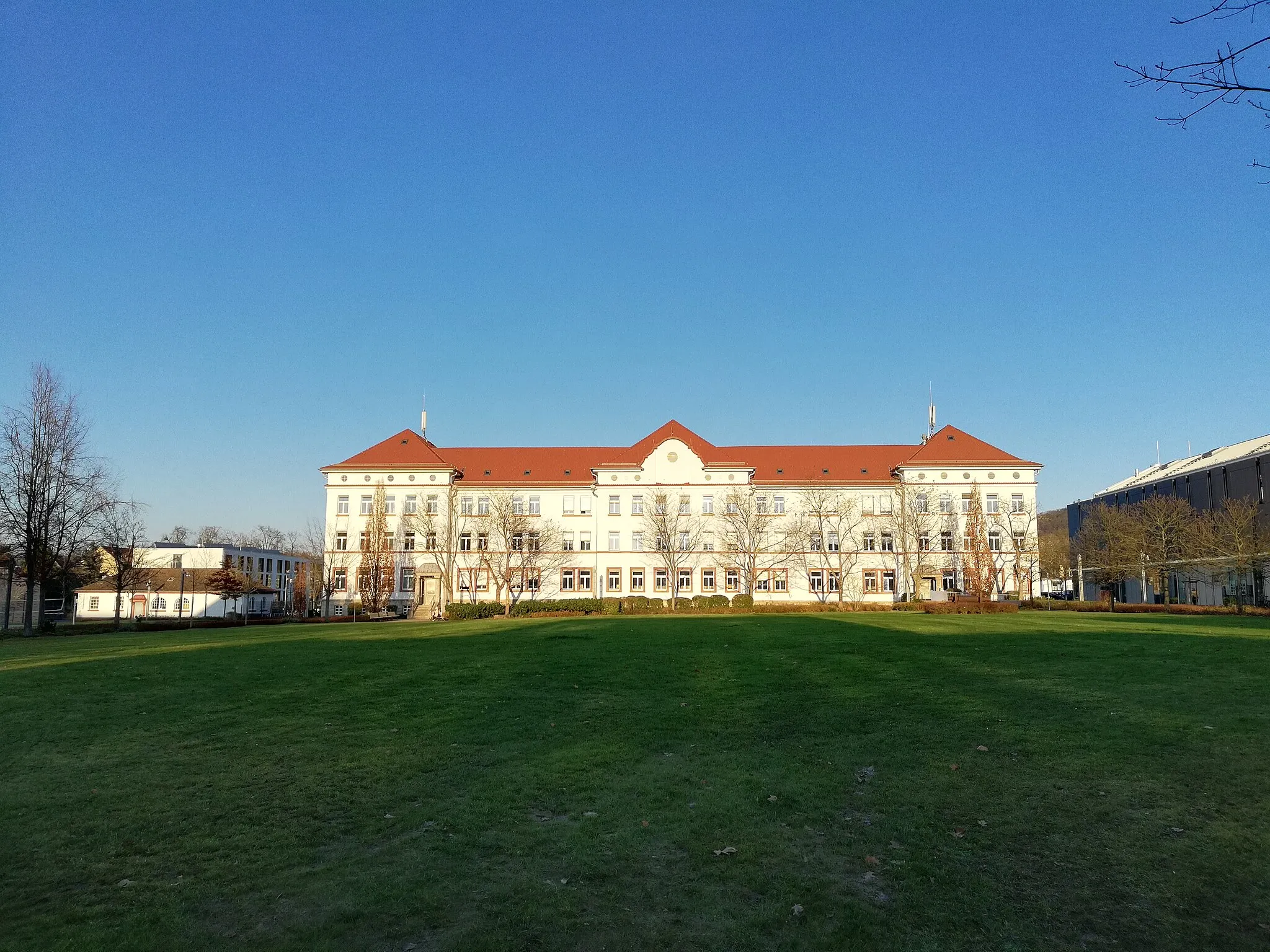
Take on the challenge of this 136 km road cycling route, which features a total ascent of 1877 meters. The route starts in Forchheim and takes you through picturesque landscapes and charming villages. Highlights along the way include the Kellerberg with its impressive views, the medieval Kreuzstein Castle, and the majestic Burg Pottenstein. The difficulty level of this route is rated 4 out of 5, making it suitable for well-trained amateur cyclists. With a score of 4 out of 5 for epicness, this route promises a memorable cycling experience. Enjoy stunning nature and cultural landmarks throughout the journey.

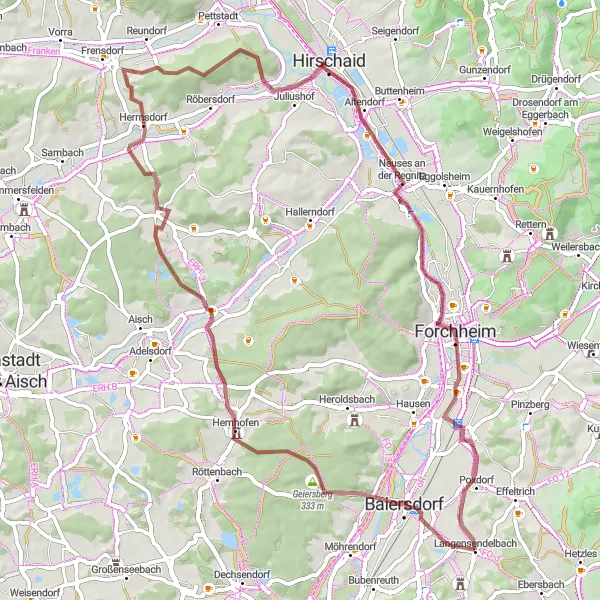
Enjoy a scenic gravel ride through the beautiful landscapes of Oberfranken.
If you're seeking a shorter but no less enjoyable cycling experience, this gravel ride is perfect for you. With a total ascent of 296m and a distance of 34km, it provides a mix of gentle off-road terrain and picturesque views. Starting from Langensendelbach, highlights along the route include Baiersdorf, Geiersberg with its panoramic vistas, Rabensberg with its scenic charm, Forchheim with its medieval history, and Poxdorf with its peaceful landscapes. The route is suitable for cyclists of all skill levels, with a difficulty rating of 2, making it an ideal choice for beginners or those looking for a more leisurely ride. With an epicness rating of 2, this route guarantees a pleasant and memorable cycling experience.
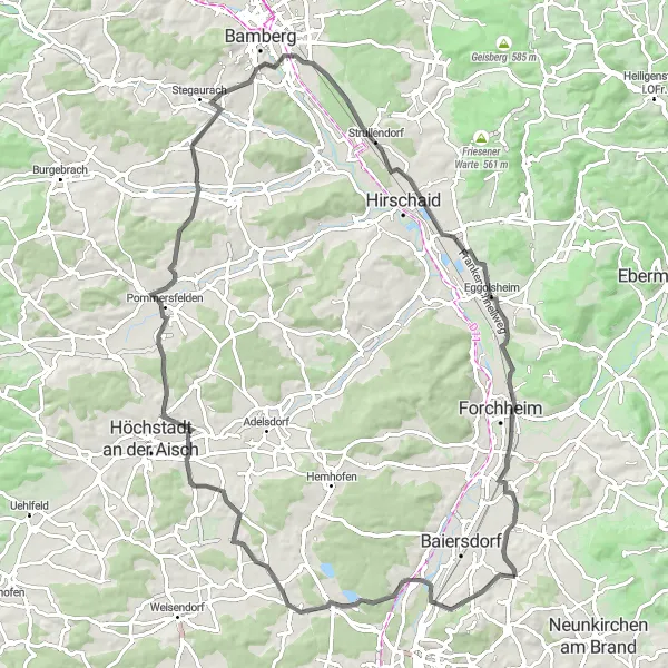
Geiersberg Gravel Adventure
Climb the challenging Geiersberg and explore the stunning landscapes of Oberfranken.
This gravel route offers a mix of challenging terrain and picturesque landscapes. With a total ascent of 530m and a distance of 65km, it is ideal for adventurous cyclists. Starting from Langensendelbach, you will pass through the scenic villages and towns of Oberfranken, including Hemhofen, Zentbechhofen, Hirschaid, Forchheim, and Poxdorf. The route provides an opportunity to experience the beautiful countryside while enjoying the thrill of off-road cycling. The difficulty level is moderate, suitable for well-trained amateurs. With an epicness rating of 3, this route guarantees a memorable cycling experience.
Nature's Escape Gravel Adventure

Escape into nature on this gravel adventure through the forests and hills of Oberfranken.
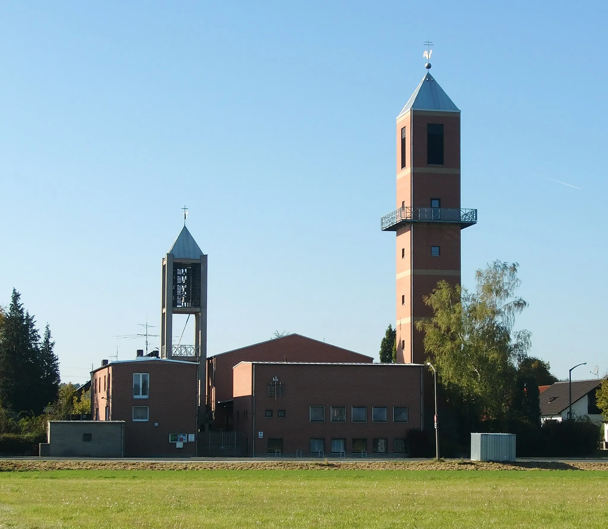
If you're looking to immerse yourself in nature and enjoy a thrilling cycling journey, this gravel adventure is perfect for you. With a total ascent of 692m and a distance of 76km, it offers a satisfying challenge for experienced cyclists. Starting from Langensendelbach, highlights along the route include Marloffstein, a picturesque village surrounded by lush forests; breathtaking views of Nürnberg from the viewpoint; Hüttendorf, known for its tranquility and natural beauty; Markt Emskirchen, a charming market town with historic architecture; Gaugelberg, which rewards you with stunning vistas; Tuchenbach, a peaceful village with traditional Franconian charm; and Erlangen, a vibrant city with a diverse cultural scene. With a difficulty level of 4, this tour is best suited for experienced gravel riders. With an epicness rating of 3, this route promises an unforgettable adventure in the heart of nature.
Langensendelbach Roundtrip
Experience the beauty of the Langensendelbach region on this 88 km road cycling route
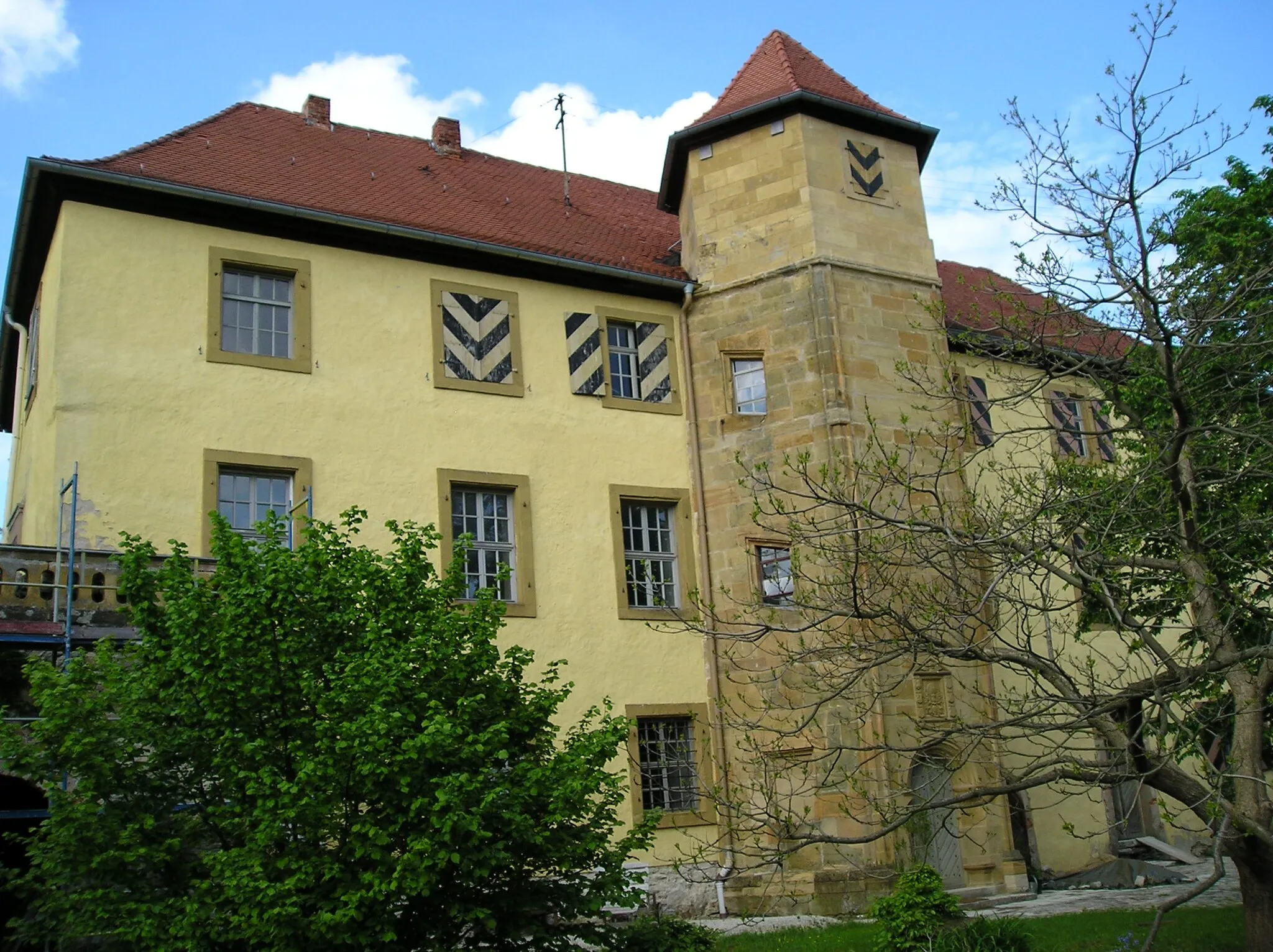
Get ready for a scenic ride through the Langensendelbach region on this 88 km road cycling route. With a total ascent of 601 meters, the ride offers a good balance between challenge and enjoyment. Highlights along the way include the picturesque village of Bubenreuth, the historic Schloss Weißenstein, and the panoramic views from Aussichtsturm Lias. The difficulty level of this route is rated 2 out of 5, making it suitable for intermediate cyclists. With a score of 3 out of 5 for epicness, this route promises a pleasant and memorable cycling experience. Enjoy the tranquility of the Langensendelbach countryside as you pedal your way through this beautiful region.
Cycling routes nearby:

Nearby regions: