Bubenreuth Gravel Loop
A gravel cycling route starting from Langensendelbach
Embark on a gravel adventure through Bubenreuth and surrounding areas
Map
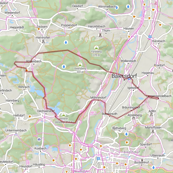
Discover the beauty of the Bubenreuth region on this 33 km gravel cycling route. With a total ascent of 204 meters, this route offers a moderate challenge suitable for gravel cyclists of all levels. Highlights along the way include the scenic Vogelbeobachtungswand, the charming village of Röttenbach, and the picturesque landscapes of the Geiersberg. The difficulty level of this route is rated 1 out of 5, making it accessible for leisurely rides. With a score of 2 out of 5 for epicness, this route promises a pleasant gravel adventure. Experience the tranquility of nature as you pedal through the captivating Bubenreuth countryside.
gravel
33 km
204 m
Chill
Route profile
Highlights on the route
0 km
0 km
Start: Langensendelbach Village centerLangensendelbach: Serene cycling experience amidst picturesque countryside.
Langensendelbach is a locality located in Oberfranken, Germany. From a road and gravel cyclist's perspective, Langensendelbach offers a range of cycling opportunities suitable for all skill levels. The region is characterized by its charming countryside, with quiet roads and beautiful landscapes providing an enjoyable cycling experience. One notable cycling spot nearby is Gräfenberg Rail Trail, a popular route tracing the former railway line and offering a scenic cycling path. With its serene surroundings and cycling-friendly atmosphere, Langensendelbach is a great location for a cycling adventure.4 km
4 km
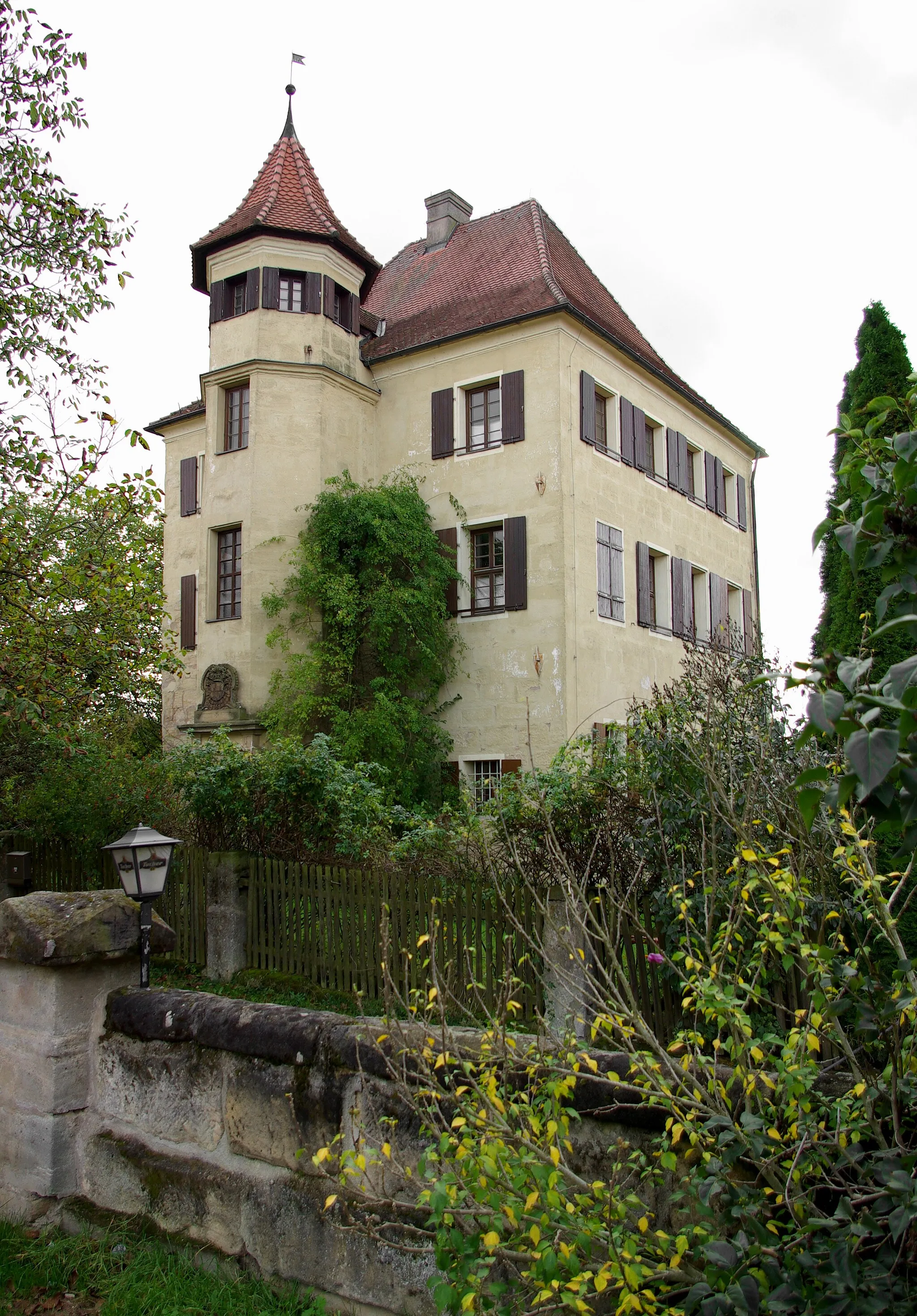
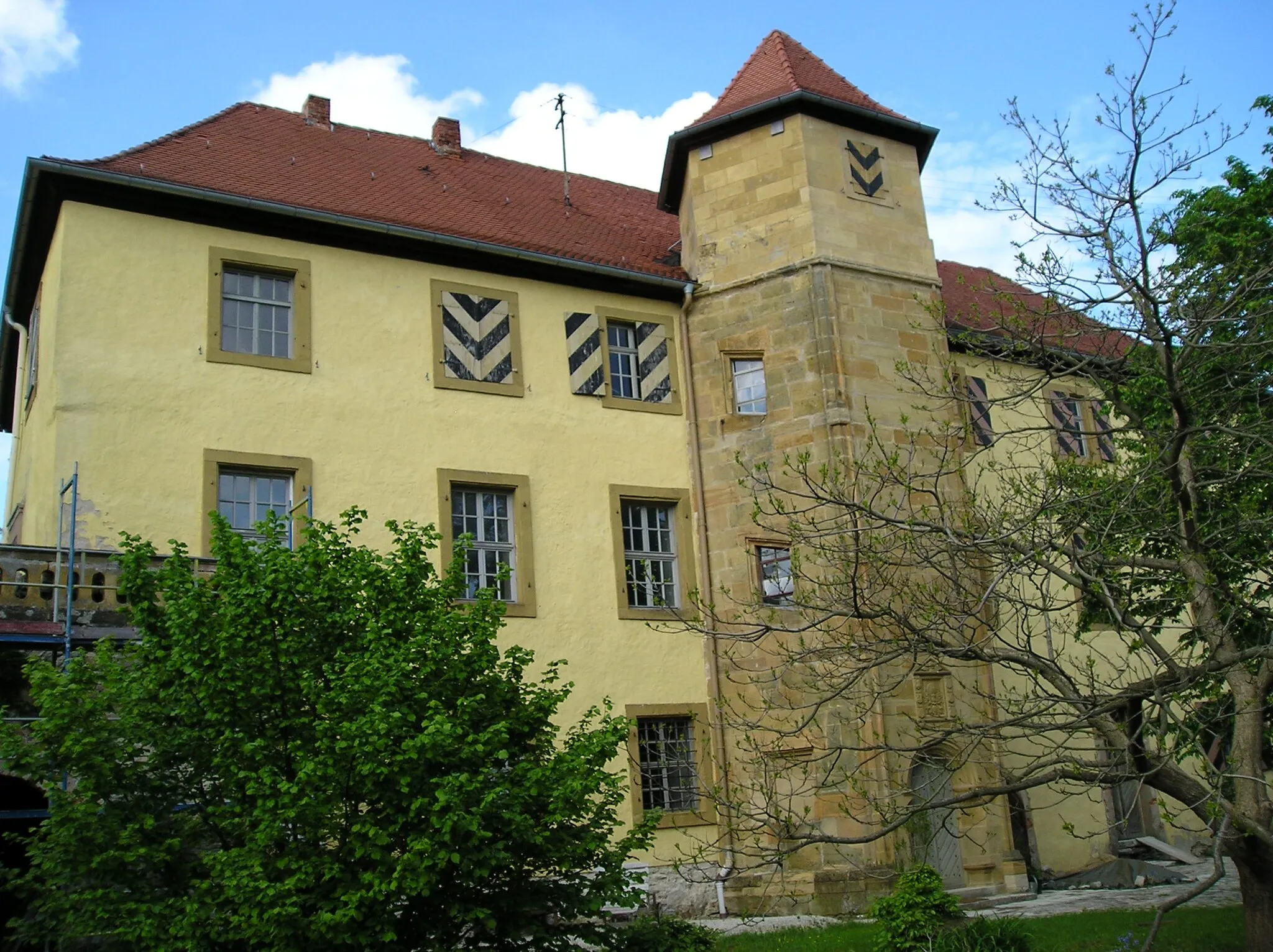
BubenreuthVillageBubenreuth is a small village known for its long-standing tradition of violin and guitar making.
13 km
13 km
VogelbeobachtungswandViewpointVogelbeobachtungswand is a unique birdwatching viewpoint where you can observe a variety of local bird species.
20 km
20 km
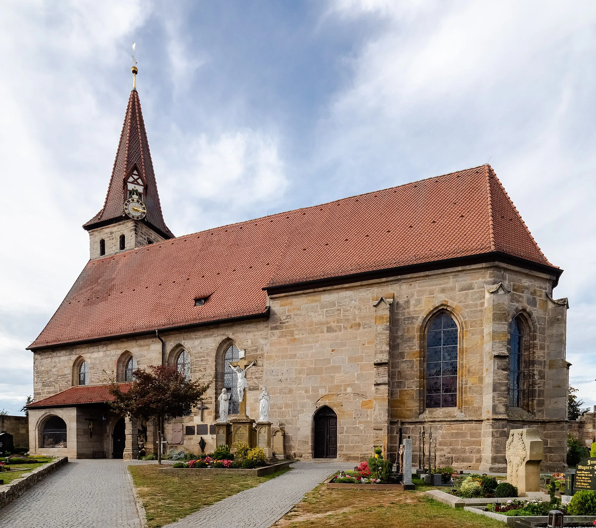
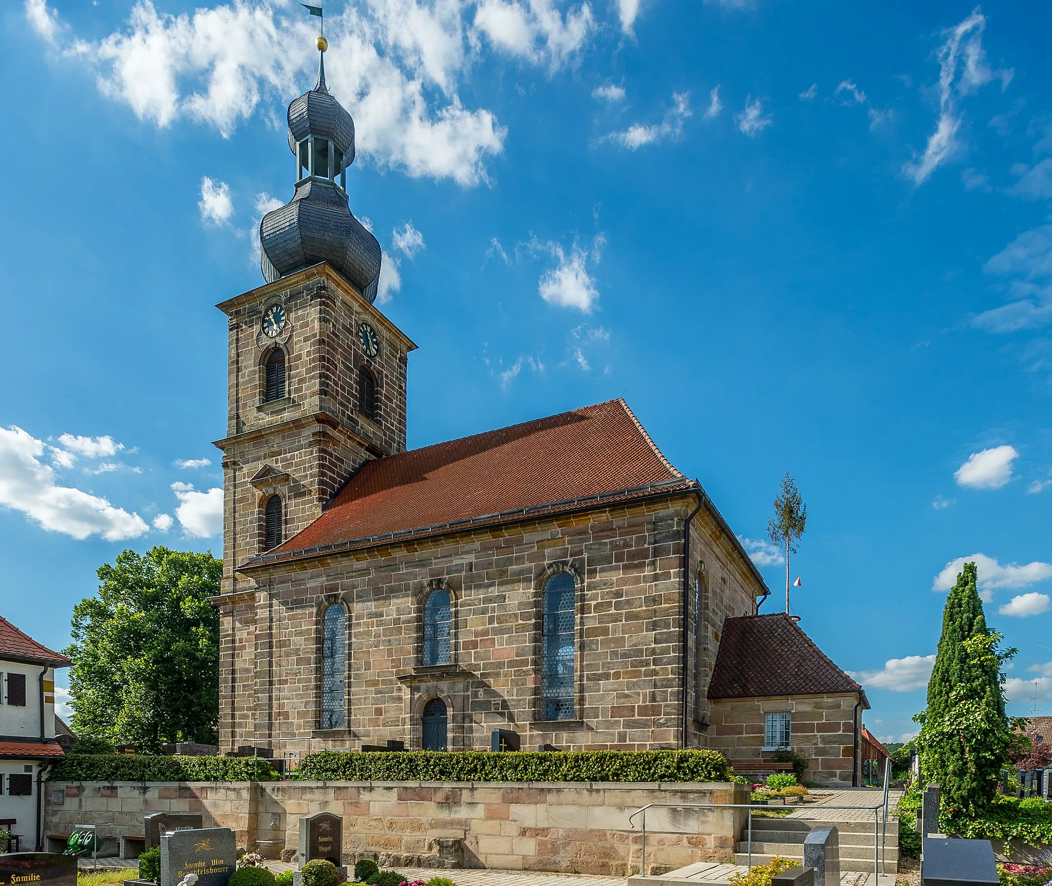
RöttenbachVillageRöttenbach is a peaceful village known for its rural charm and beautiful natural surroundings.
25 km
25 km
Geiersberg333 mPeakThe Geiersberg is a picturesque hill that offers stunning views of the surrounding Franconian countryside.
31 km
31 km
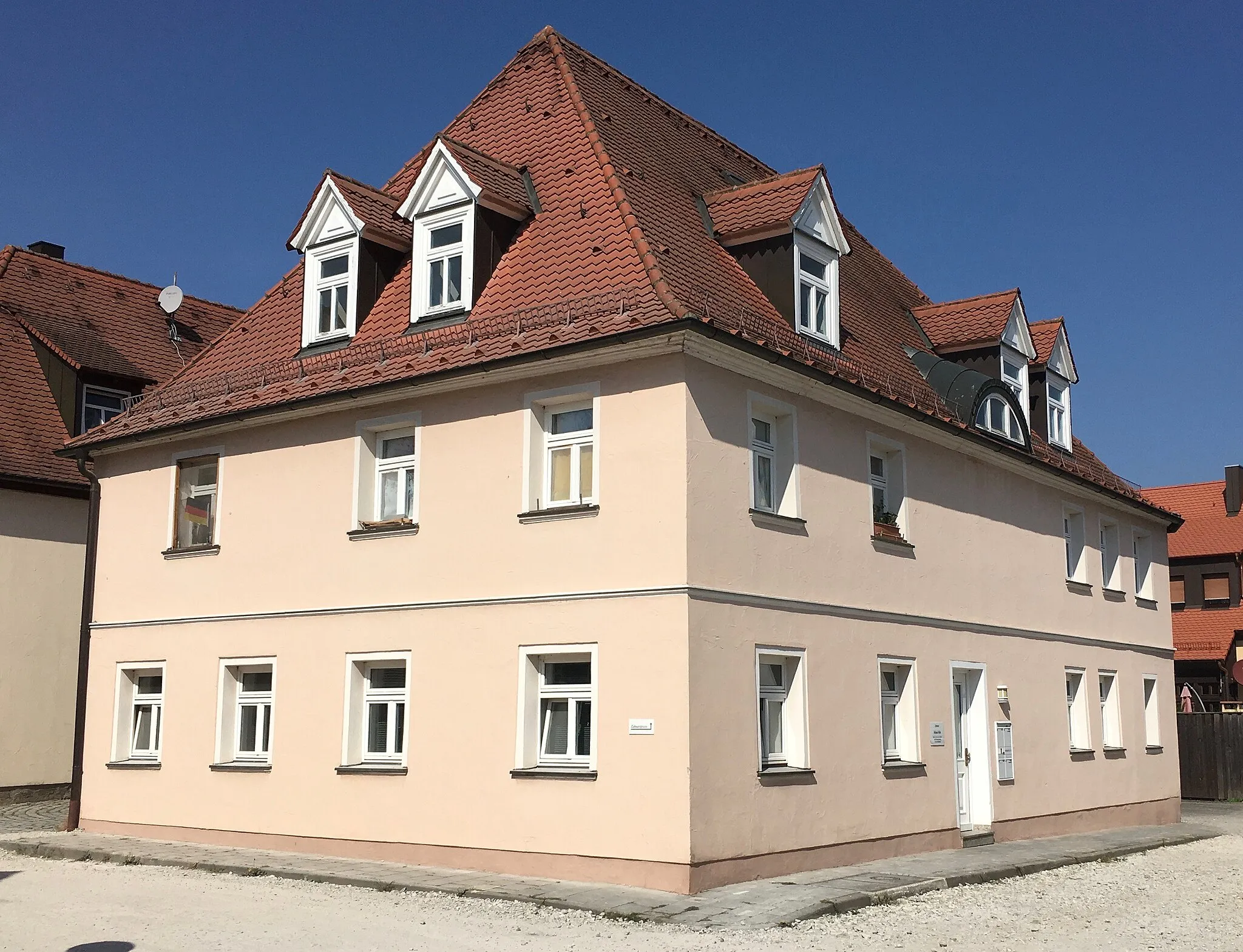
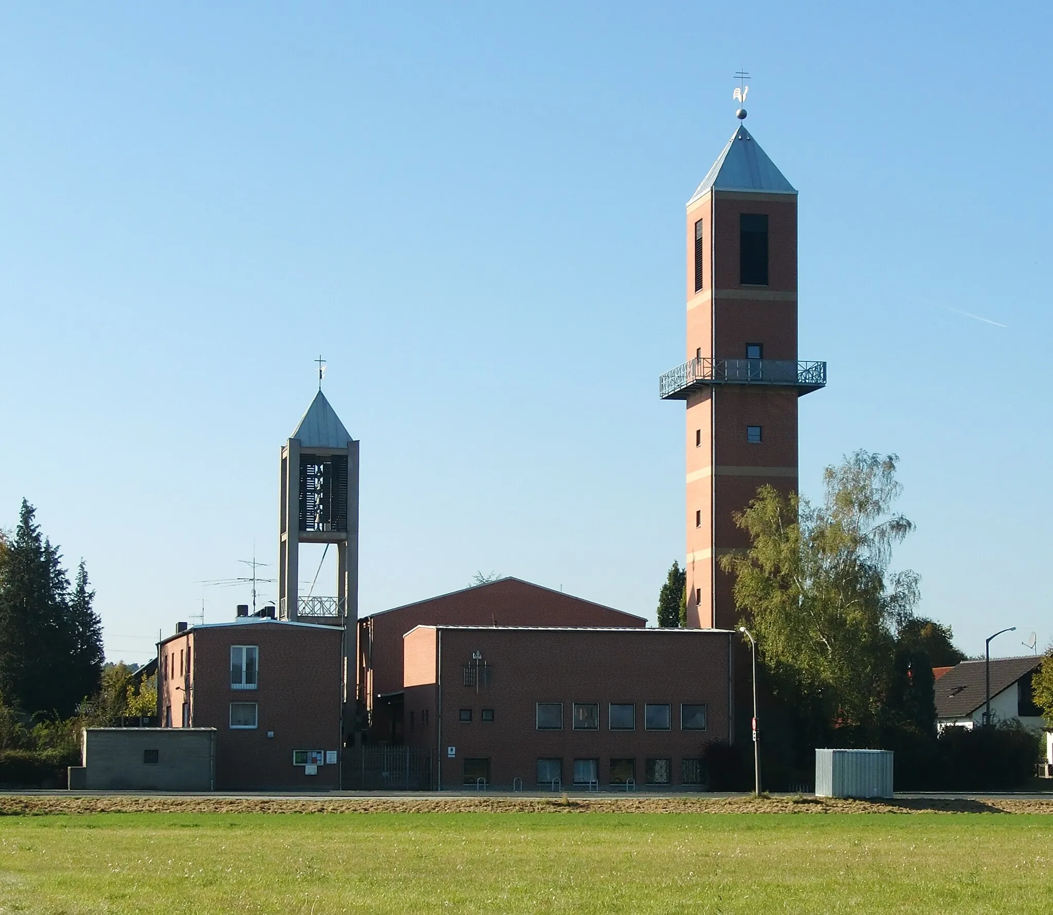
IgelsdorfVillageIgelsdorf is a traditional Franconian village with charming half-timbered houses and scenic landscapes.
33 km
33 km
Finish: Langensendelbach Village centerLangensendelbach: Serene cycling experience amidst picturesque countryside.
Cycling routes from Langensendelbach:
Cycling routes nearby: