A cyclist's haven in Oberfranken.
Cycling routes from Neunkirchen am Brand
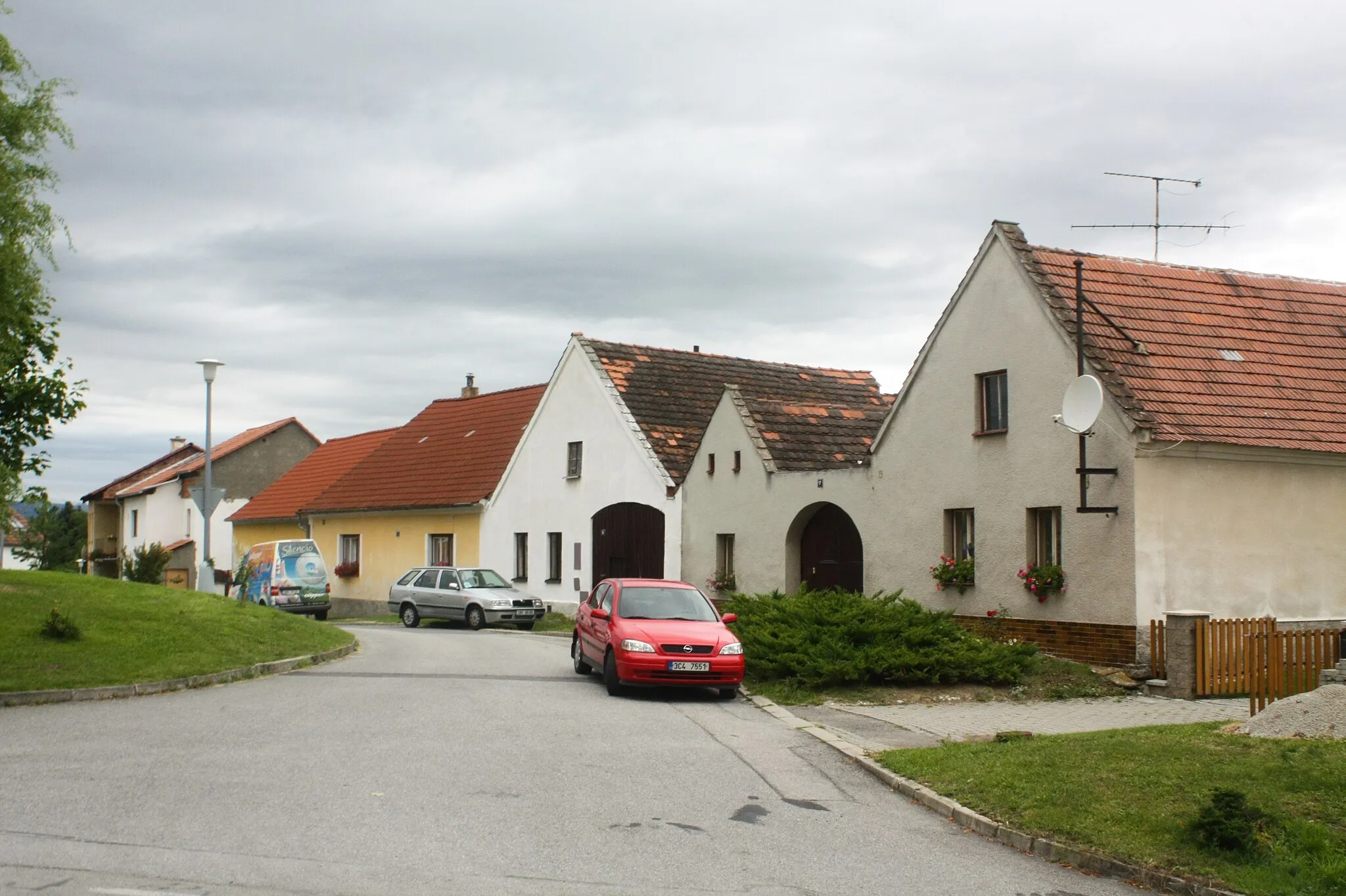
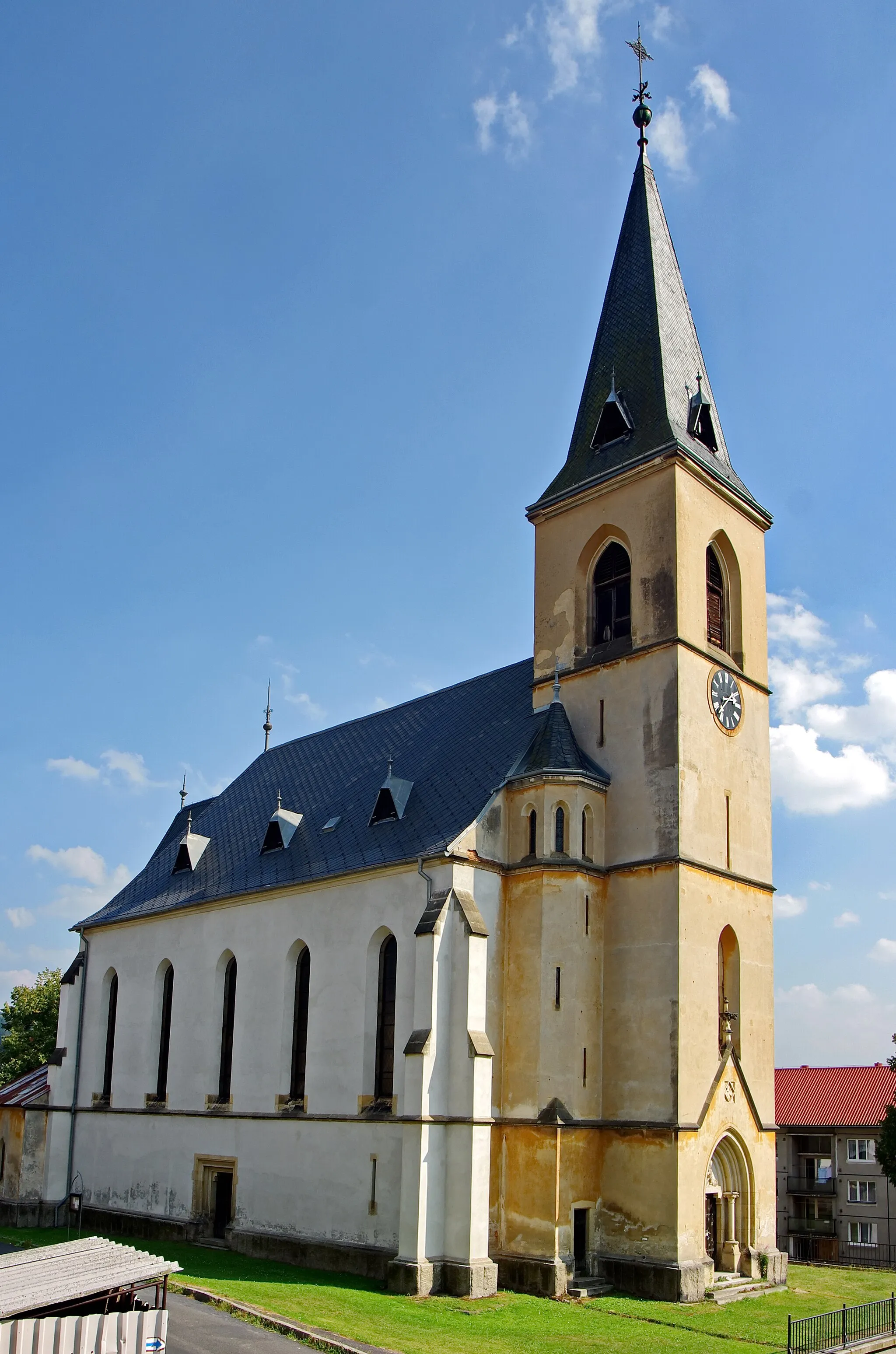
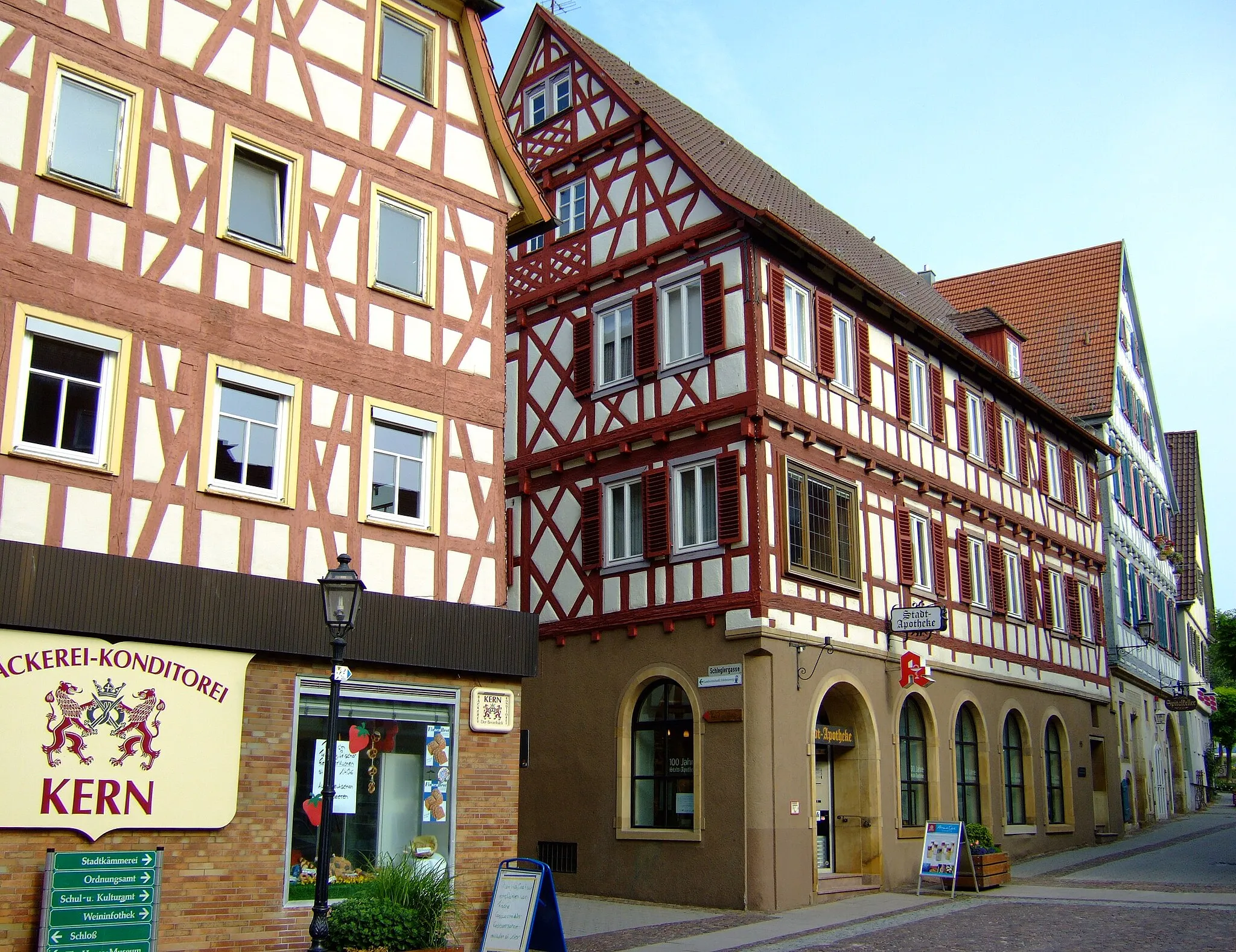
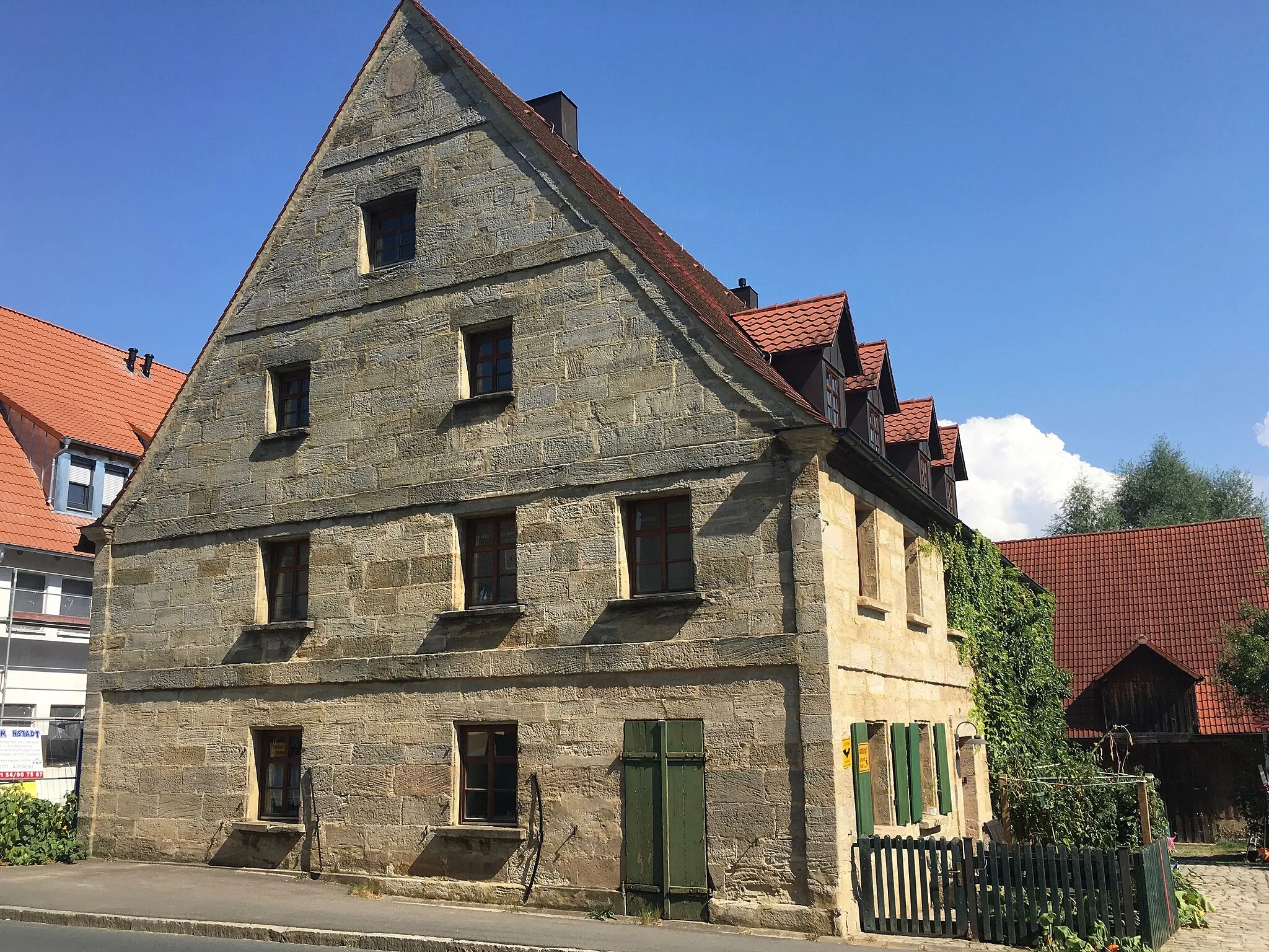
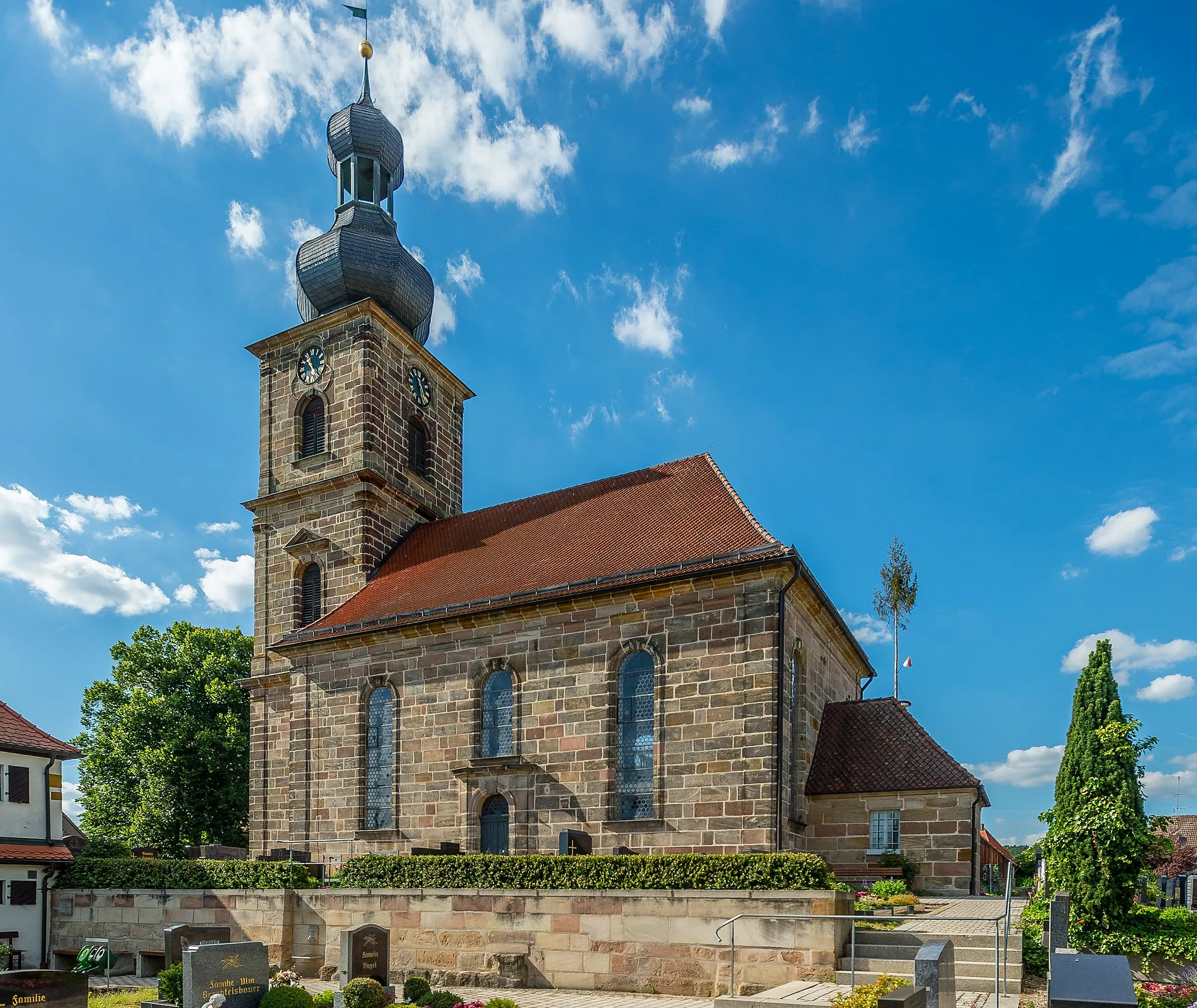
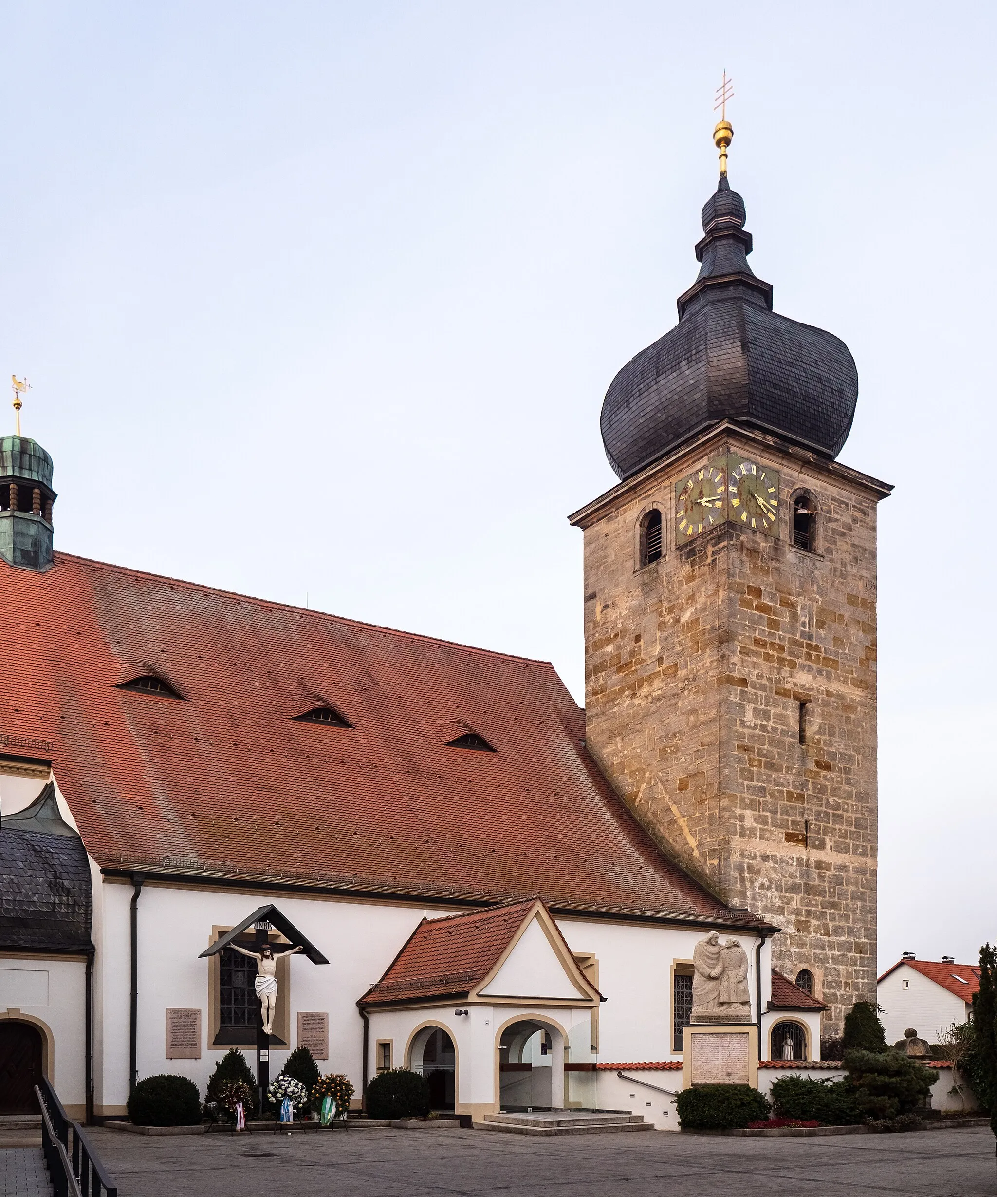
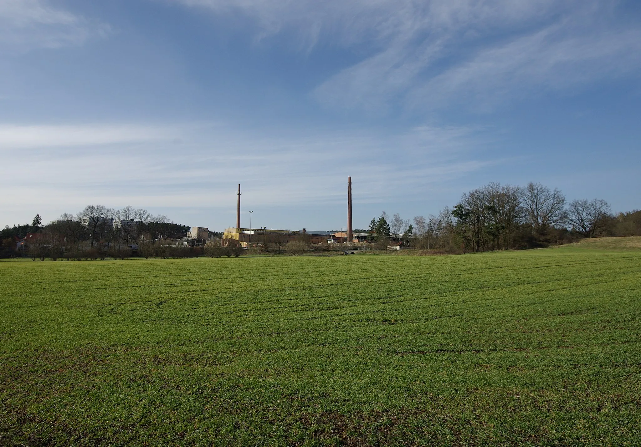
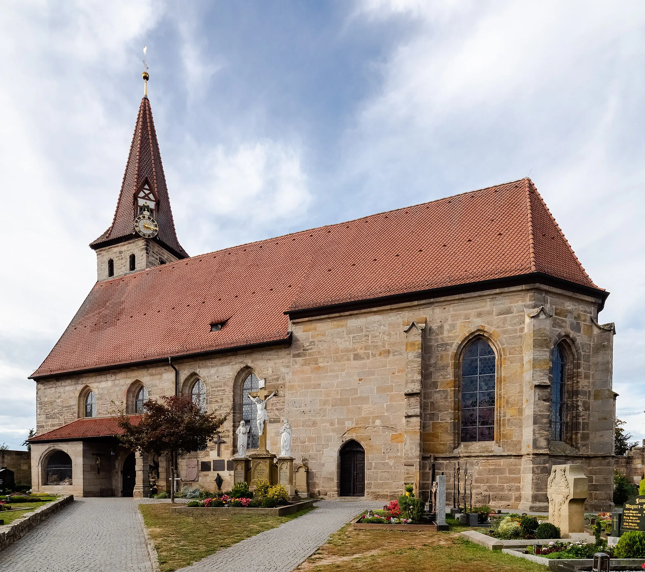
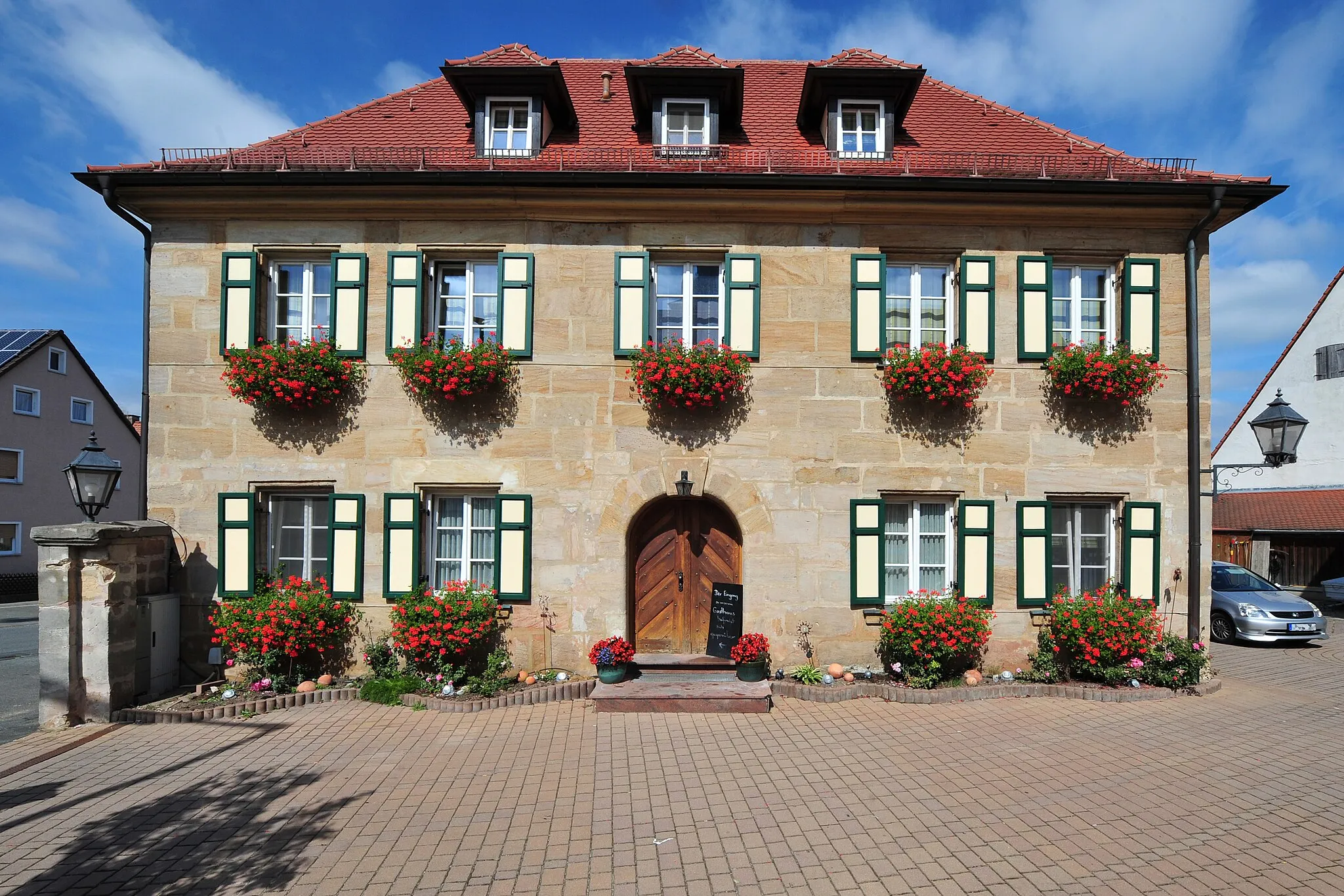
Neunkirchen am Brand, located in the Oberfranken region of Germany, is a cyclist-friendly locality that offers a range of cycling opportunities. The area is characterized by its rolling hills, charming villages, and beautiful landscapes. Cyclists can explore the nearby Franconian Switzerland region, known for its challenging climbs and scenic routes. Famous climbs like the Weißenohe-Dainsbach provide both challenges and magnificent views. Neunkirchen am Brand is also close to the city of Nuremberg, offering additional cycling routes and cultural attractions. Overall, Neunkirchen am Brand is a great destination for cyclists looking to immerse themselves in both nature and culture.
Eckental and Dormitz Gravel Loop
Scenic gravel route through quaint villages
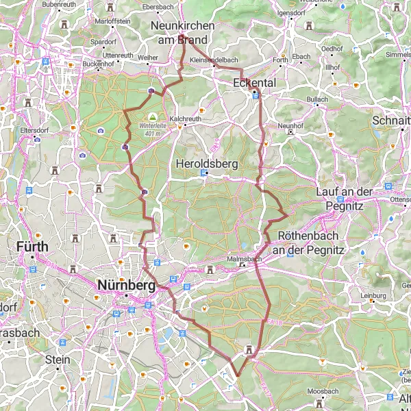
Embark on a gravel adventure through the countryside near Neunkirchen am Brand. With an elevation gain of 439 meters and a length of 65 kilometers, this route is suitable for intermediate gravel riders. Along the way, you'll encounter highlights such as Gugel, Eckental, Hinterer Steinberg, Behringersdorf, Fischbach bei Nürnberg, Rechenberg, Flughafenblick Ost, Buchenbühl, and Dormitz.
Gravel Adventure

An exciting off-road cycling adventure
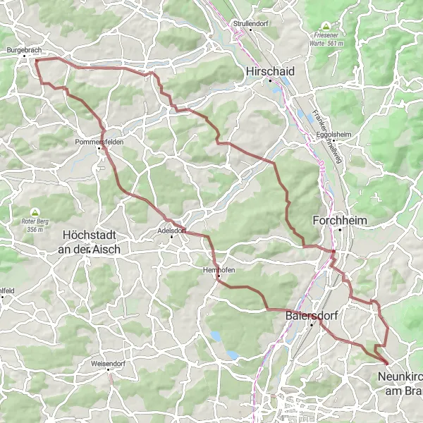
Experience the thrill of off-road cycling on this gravel adventure near Neunkirchen am Brand in Oberfranken, Germany. With a total distance of 74 kilometers and an ascent of 690 meters, this route offers a challenging yet rewarding ride. The scenic highlights along the way include the breathtaking viewpoints of Wildschweingehege, the charming town of Erlangen, and the picturesque Hemhofen-Blick. As you pedal further, you'll encounter the historic village of Adelsdorf, the peaceful Haid forest, and the majestic Rabensberg. The starting point of Neunkirchen am Brand adds local charm to the route.
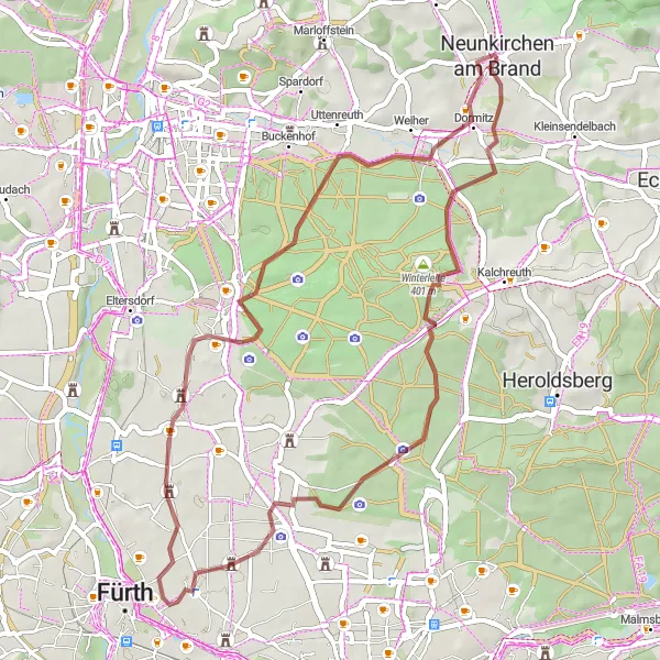
Kahlberg and Dormitz
Gravel adventure with scenic views
This gravel route starting near Neunkirchen am Brand takes you through picturesque landscapes and offers stunning views of the Kahlberg and Dormitz. With a moderate ascent of 258 meters and a distance of 46 kilometers, it is suitable for experienced gravel bikers. The route passes by several highlights, including the Frauenkreuz, Lerchenbühl, Großgründlach, Turmberg, and Dormitz.

A scenic gravel route with stunning views of Nuernberg
This gravel route offers a wonderful mix of natural beauty and cultural heritage. Experience panoramic views of Nuernberg, pass through charming villages such as Mohrendorf and Röttenbach, and take in the sweeping landscapes from Hemhofen-Blick. With a moderate difficulty level and a length of 50 km, this route is ideal for well-trained amateur cyclists seeking a rewarding adventure. Its charm and epicness score of 4 make it a hidden gem for gravel enthusiasts. Highlights include a breath-taking view of Nuernberg, as well as stops in Rabensberg and Poxdorf.
Neunkirchen Highlights Road Tour

A road tour offering stunning views of Neunkirchen am Brand
Undertake an unforgettable road tour through Neunkirchen am Brand and the surrounding areas. This 59 km route is characterized by challenging ascents and descents, along with picturesque landscapes along the way. Cyclists with a skill level of intermediate to advanced are recommended to tackle this road tour. With a difficulty level of 4 combined with an epicness score of 3, this route guarantees a remarkable cycling experience. Highlights include the scenic view of Neunkirchen am Brand, the charming village of Steinberg, and the historical town of Gräfenberg.

A challenging road route with scenic spots at Gugel Hill
Take on this challenging road route through Gugel Hill and its breathtaking surroundings. With a distance of 64 km, this route offers a mix of tough climbs and thrilling descents, best suited for experienced cyclists. The difficulty level of 5 combined with an epicness score of 4 ensures an adrenaline-fueled adventure in an awe-inspiring setting. Highlights include the panoramic views from Gugel Hill and stops at Bug and Sandranken.
A challenging gravel route with stunning vistas at Gugel Hill
Embark on a thrilling gravel adventure through Langensendelbach and Geiersberg, until you reach the incredible views from Gugel Hill. This 84 km route offers diverse landscapes and a mix of flat and hilly terrains, suitable for experienced amateur cyclists seeking a challenge. With a difficulty level of 4 and an epicness score of 4, this route promises to be both physically demanding and visually rewarding. Highlights include the picturesque town of Pommersfelden and the breathtaking views from Rabensberg.
Scenic road cycling route with cultural highlights
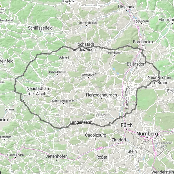
Experience the beauty of the Franconian countryside on this road cycling route near Neunkirchen am Brand. With an ascent of 929 meters and a distance of 131 kilometers, it is suitable for intermediate to experienced riders. Along the route, you'll encounter highlights such as Buckenhof, Turmberg, Seukendorf, Heinrichsberg, Markt Erlbach, Marberg, Langenfeld, Altershausen, Rinsachhöhe, and Effeltrich.
Challenging road cycling route with scenic hilltop views
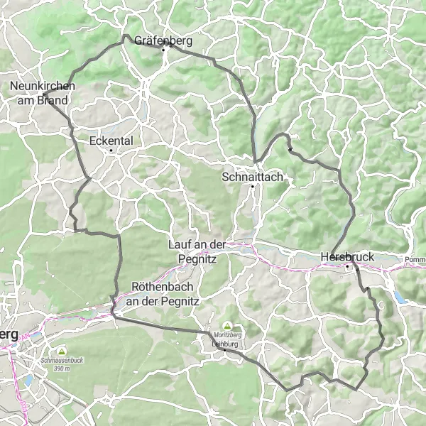
This road cycling route near Neunkirchen am Brand features challenging climbs and rewarding panoramic views. With an elevation gain of 1470 meters and a length of 96 kilometers, it is suitable for experienced riders. Highlights along the way include Neunkirchen am Brand, Gugel, Eberhardsberg, Gräfenberg, Stöppberg, Kirchensittenbach, Michelsberg, Hinterhaslach, Weißenbrunn-Blick, Leinburg, Behringersdorf, Sommerleite, and Kleinsendelbach.
Walberla Explorations
Discover the natural beauty of Walberla on this varied gravel route
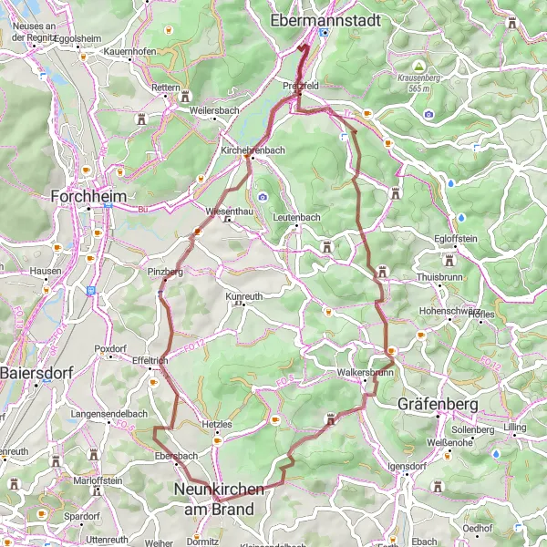
Explore the unique landscapes of Walberla on this 51 km gravel route. From the picturesque village of Neunkirchen am Brand, you will pass through Effeltrich with its charming streets and traditional houses. The terrain varies from flat to hilly, providing a moderate challenge for cyclists with an intermediate skill level. With an epicness score of 3, this route offers scenic vistas and a chance to immerse yourself in nature. Highlights include the impressive rock formations of Walberla and the historic town of Brand.
Cycling routes nearby:
Nearby regions: