Eberhardsberg and Kleinsendelbach
A road cycling route starting from Neunkirchen am Brand
Challenging road cycling route with scenic hilltop views
Map
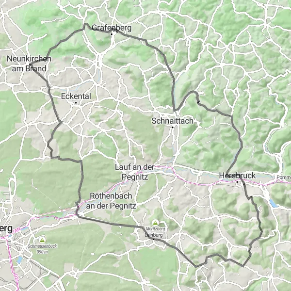
This road cycling route near Neunkirchen am Brand features challenging climbs and rewarding panoramic views. With an elevation gain of 1470 meters and a length of 96 kilometers, it is suitable for experienced riders. Highlights along the way include Neunkirchen am Brand, Gugel, Eberhardsberg, Gräfenberg, Stöppberg, Kirchensittenbach, Michelsberg, Hinterhaslach, Weißenbrunn-Blick, Leinburg, Behringersdorf, Sommerleite, and Kleinsendelbach.
road
96 km
1470 m
Tough
Route profile
Highlights on the route
0 km
0 km
Start: Neunkirchen am Brand City centerNeunkirchen am Brand: A cyclist's haven in Oberfranken.
Neunkirchen am Brand, located in the Oberfranken region of Germany, is a cyclist-friendly locality that offers a range of cycling opportunities. The area is characterized by its rolling hills, charming villages, and beautiful landscapes. Cyclists can explore the nearby Franconian Switzerland region, known for its challenging climbs and scenic routes. Famous climbs like the Weißenohe-Dainsbach provide both challenges and magnificent views. Neunkirchen am Brand is also close to the city of Nuremberg, offering additional cycling routes and cultural attractions. Overall, Neunkirchen am Brand is a great destination for cyclists looking to immerse themselves in both nature and culture.0 km
0 km
Neunkirchen am BrandTownStart your journey in the scenic town of Neunkirchen am Brand, known for its charming atmosphere and cultural events.
1 km
1 km
Gugel375 mPeakMake a stop at Gugel, a small village with historic buildings, located just 1 kilometer into the route.
9 km
9 km
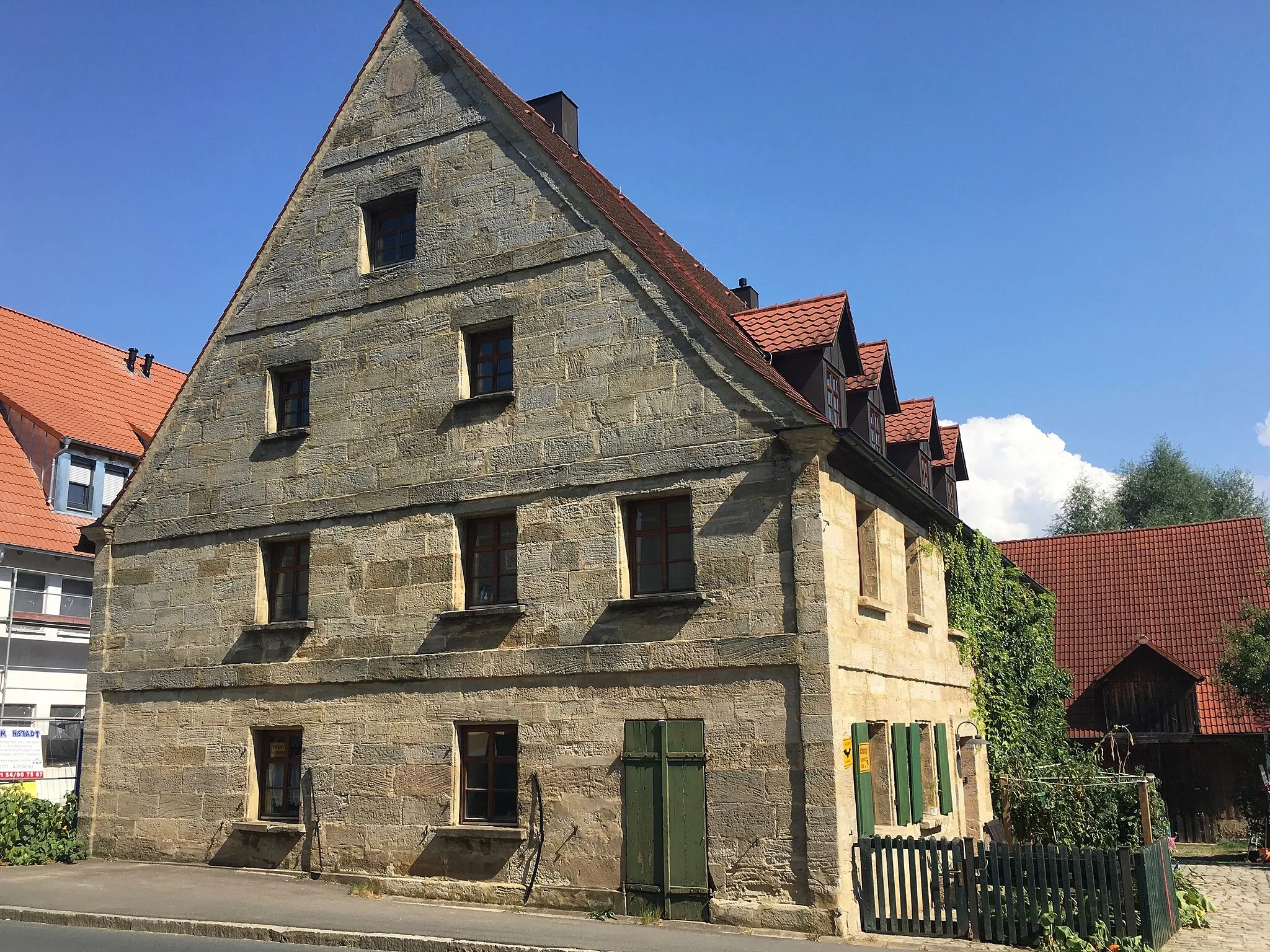
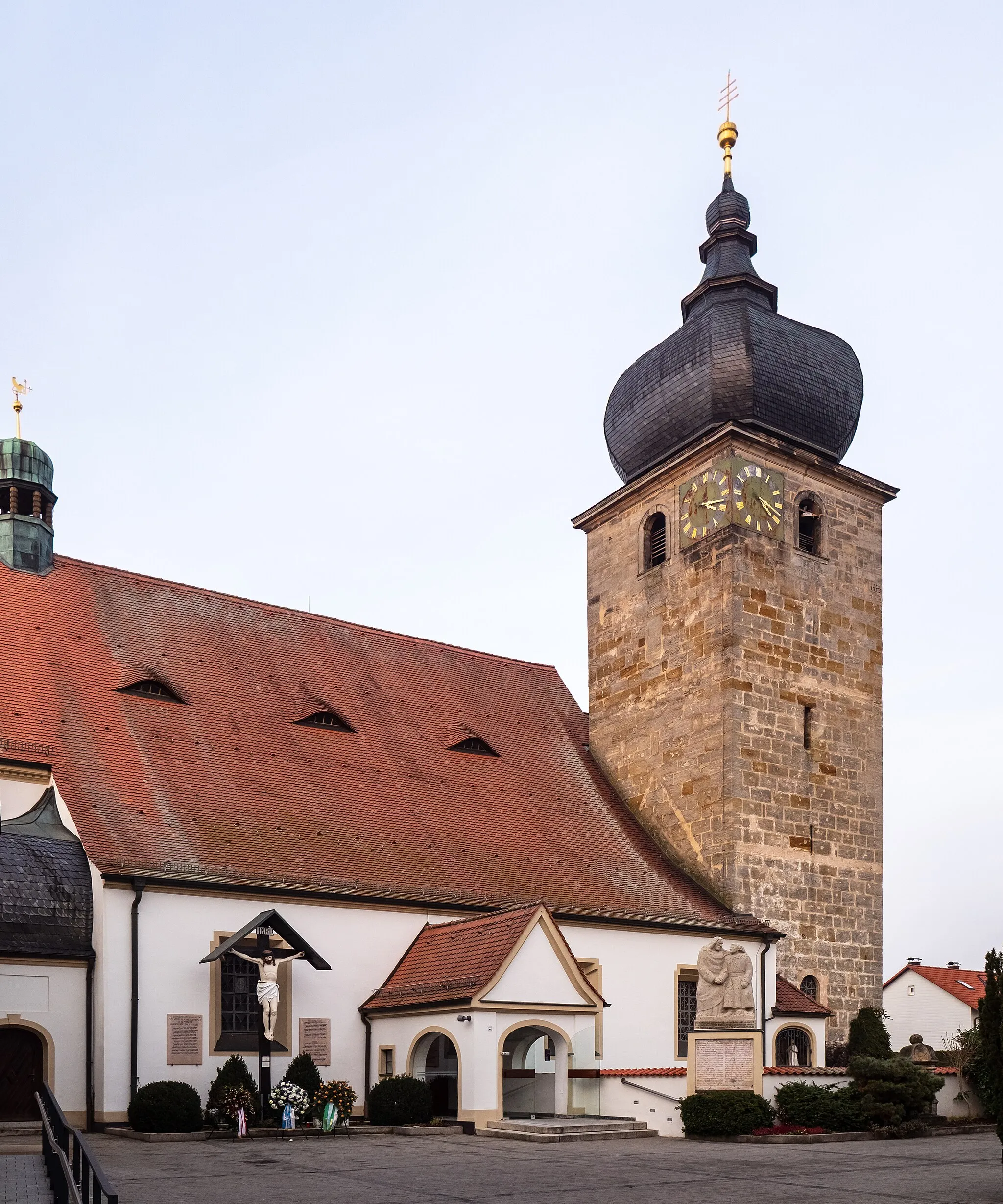
Eberhardsberg533 mPeakAt 9 kilometers, Eberhardsberg offers breathtaking views of the surrounding hills and valleys.
11 km
11 km
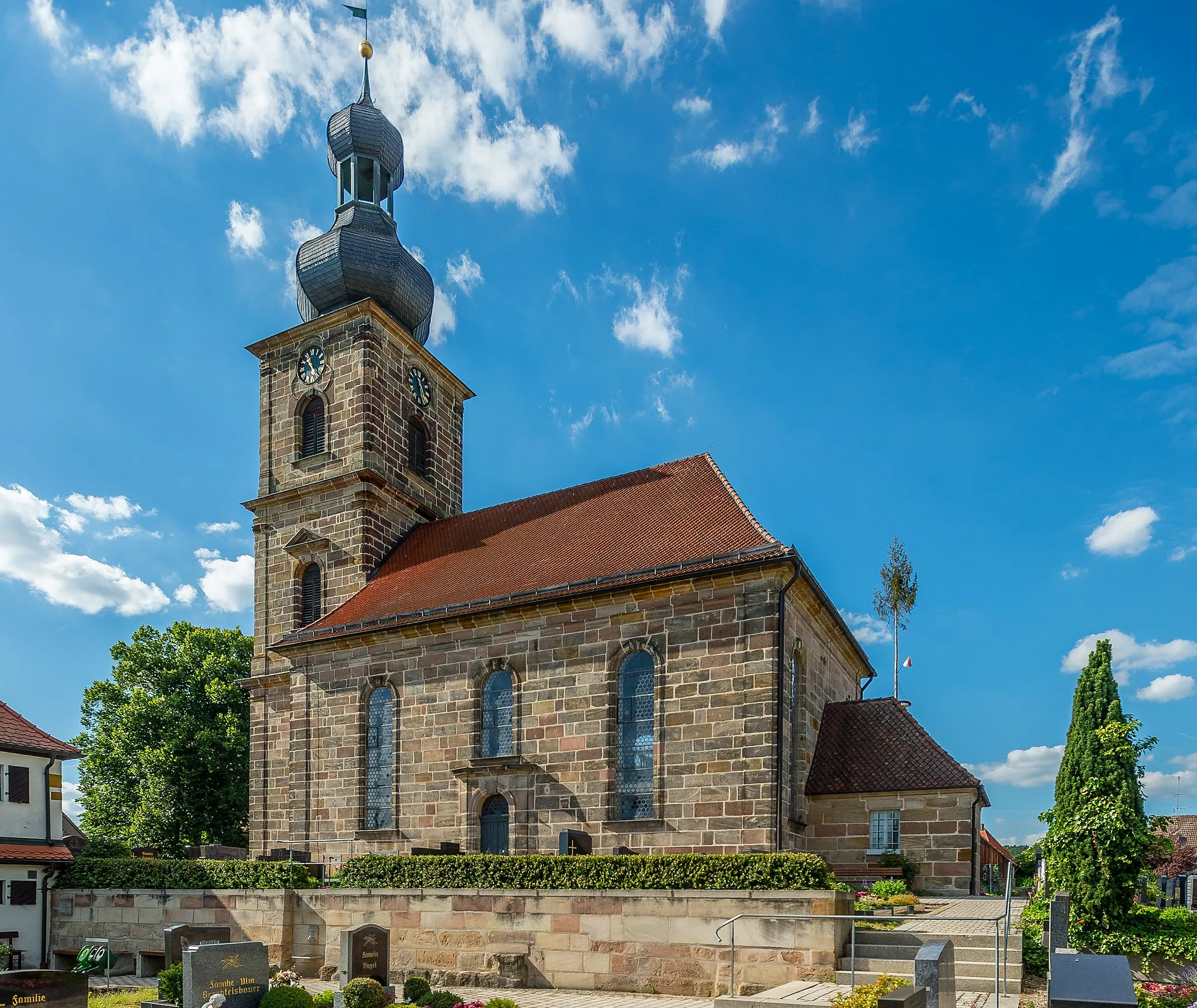
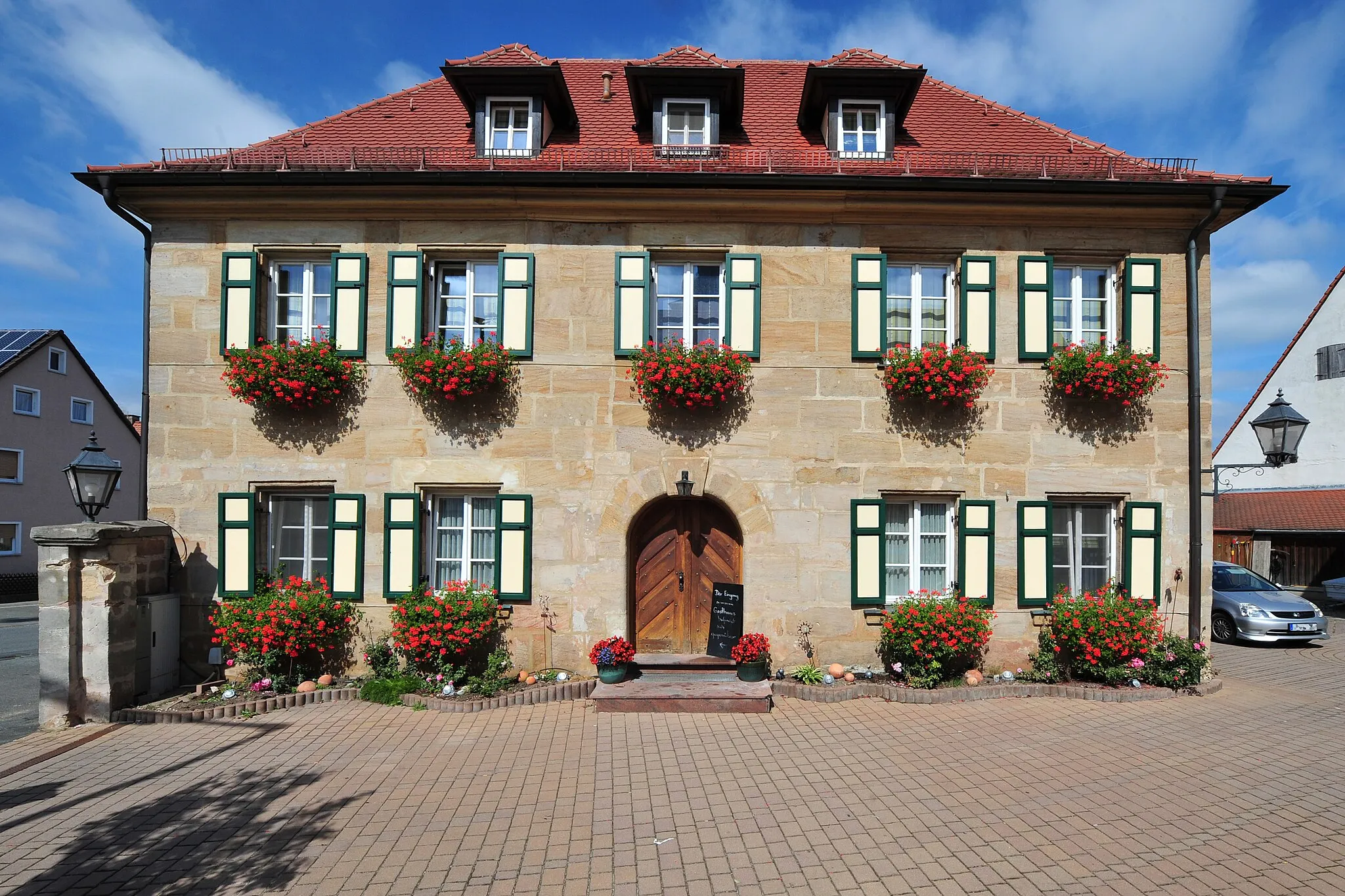
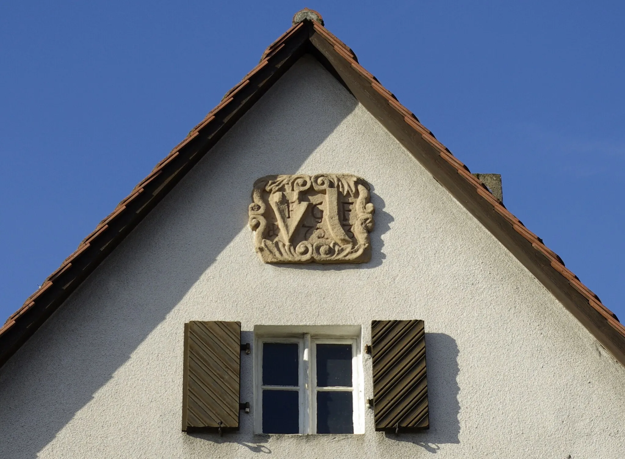
GräfenbergTownGräfenberg, approximately 11 kilometers into the route, is famous for its beer and traditional Franconian architecture.
33 km
33 km
Stöppberg579 mPeakFor a challenging climb, head to Stöppberg at 33 kilometers, offering stunning panoramic views.
34 km
34 km
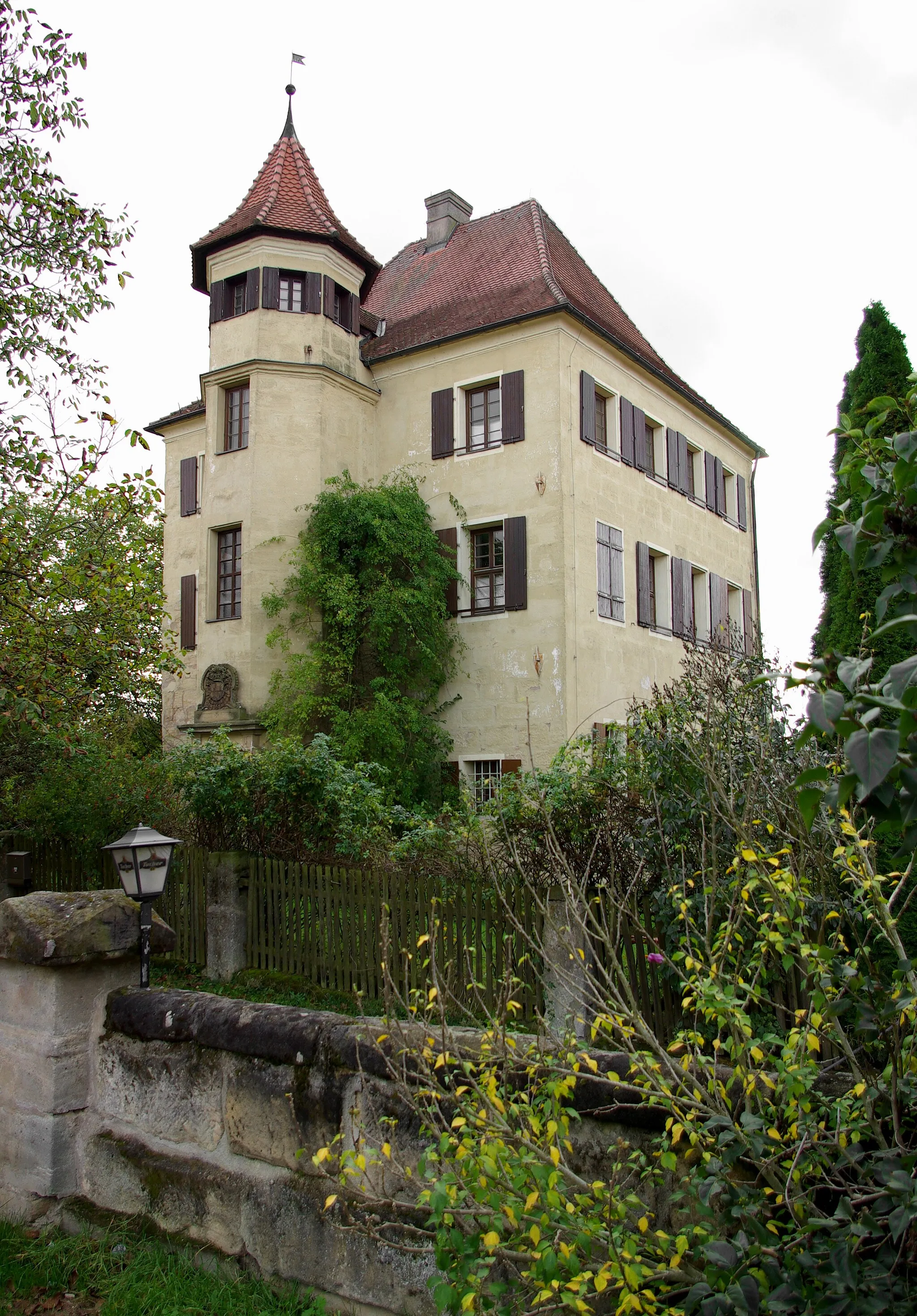
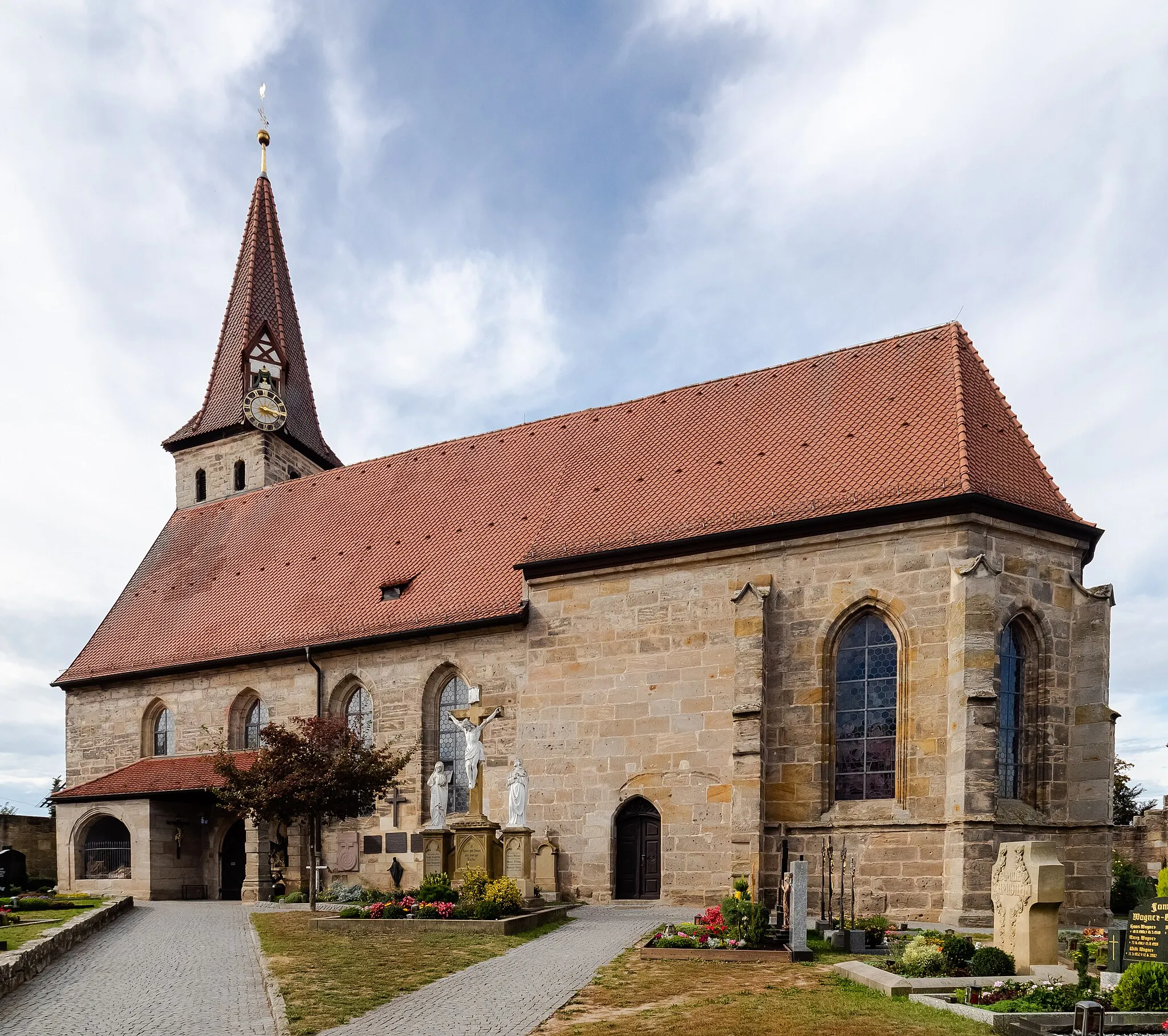
KirchensittenbachVillageLocated at around 34 kilometers, Kirchensittenbach is a picturesque village with a beautiful church and peaceful ambiance.
41 km
41 km
Michelsberg435 mPeak ViewpointMichelsberg, situated at 41 kilometers, is a classic hilltop village with charming architecture.
50 km
50 km
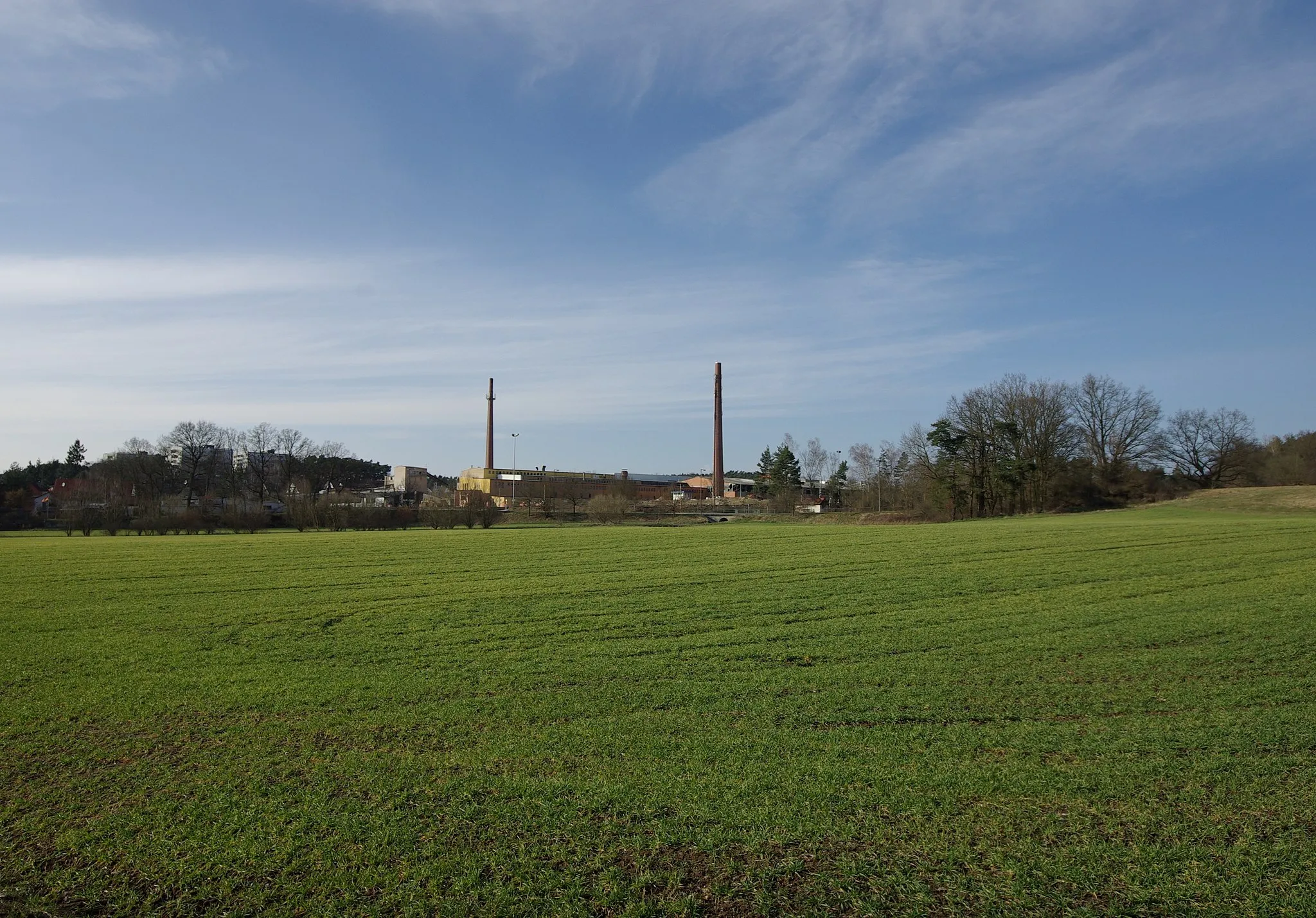
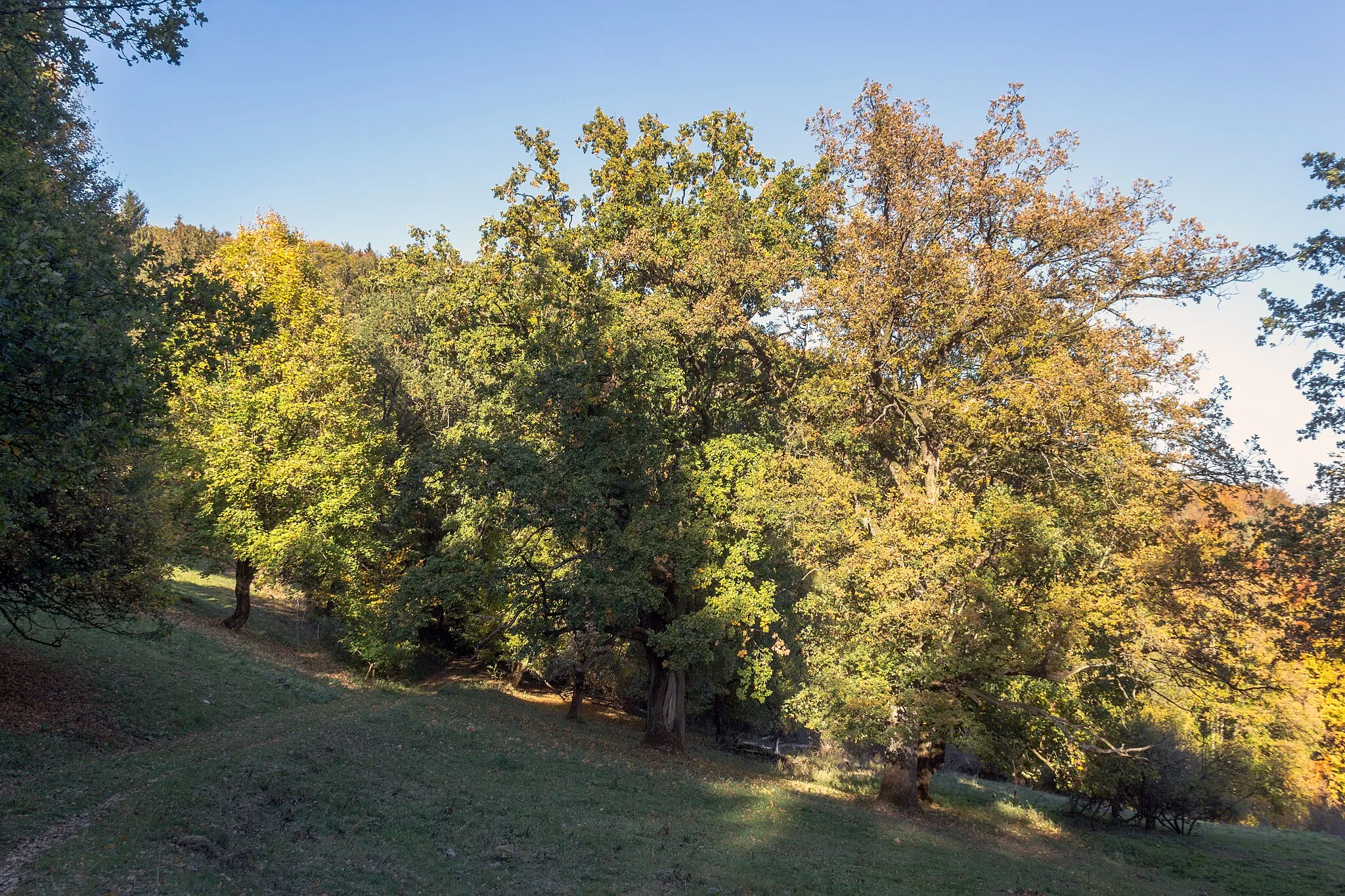
HinterhaslachHamletAt 50 kilometers, Hinterhaslach provides a scenic viewpoint overlooking the countryside.
66 km
66 km
Weißenbrunn-BlickViewpointAt 66 kilometers, Weißenbrunn-Blick offers stunning vistas of the rolling hills and forests.
66 km
66 km
LeinburgVillageLeinburg, located approximately 66 kilometers from the start, is a historic town with half-timbered houses and a bustling market square.
76 km
76 km
BehringersdorfSub-urbBehringersdorf, at 76 kilometers, delights visitors with its picturesque setting and traditional architectural style.
78 km
78 km
Sommerleite367 mPeakImmerse yourself in the panoramic beauty of Sommerleite, located at 78 kilometers into the route.
93 km
93 km
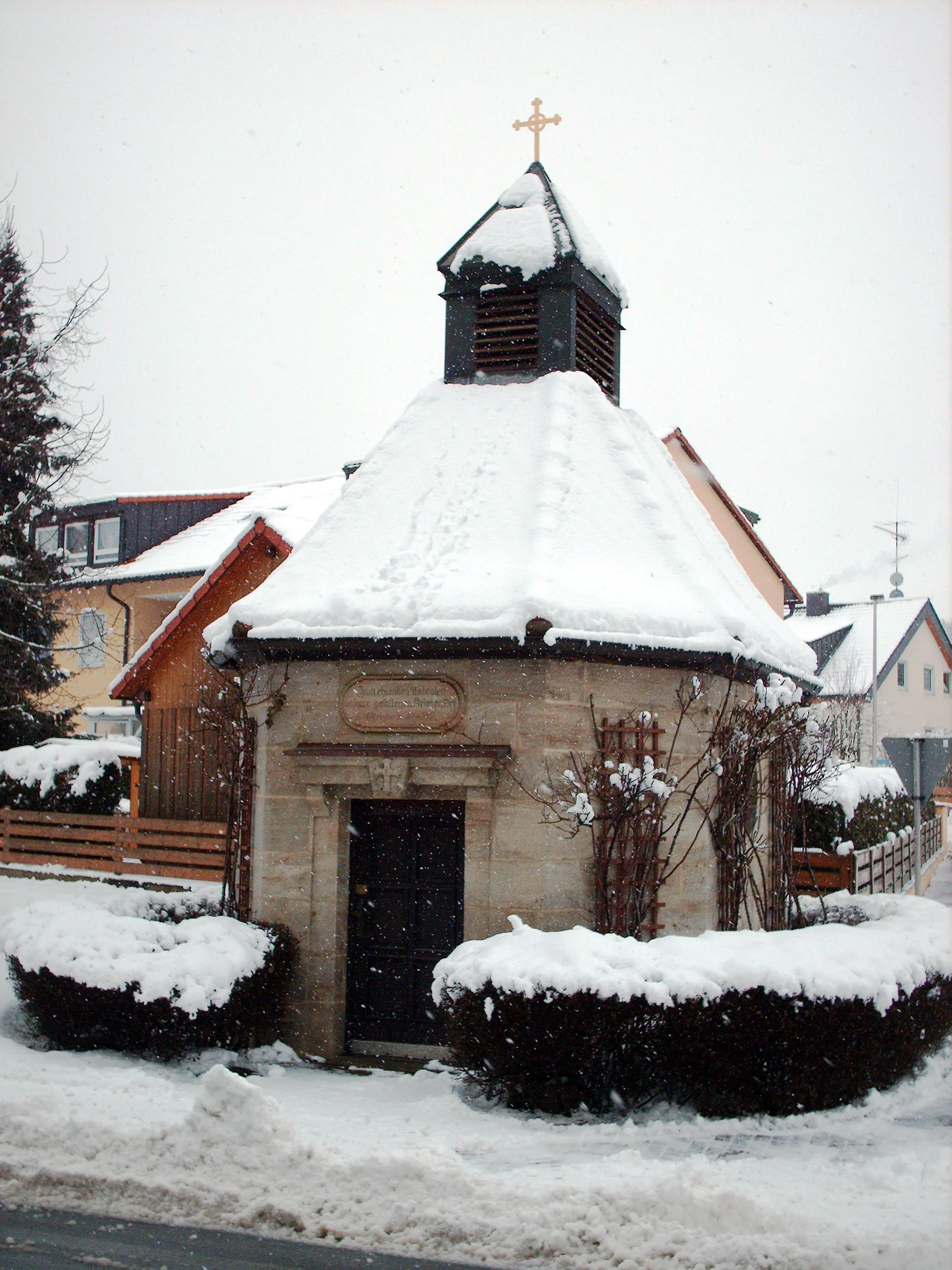
KleinsendelbachVillageKleinsendelbach, around 93 kilometers from the start, is a charming village surrounded by rolling green hills.
96 km
96 km
Finish: Neunkirchen am Brand City centerNeunkirchen am Brand: A cyclist's haven in Oberfranken.
Cycling routes nearby: