Kahlberg and Dormitz
A gravel cycling route starting from Neunkirchen am Brand
Gravel adventure with scenic views
Map
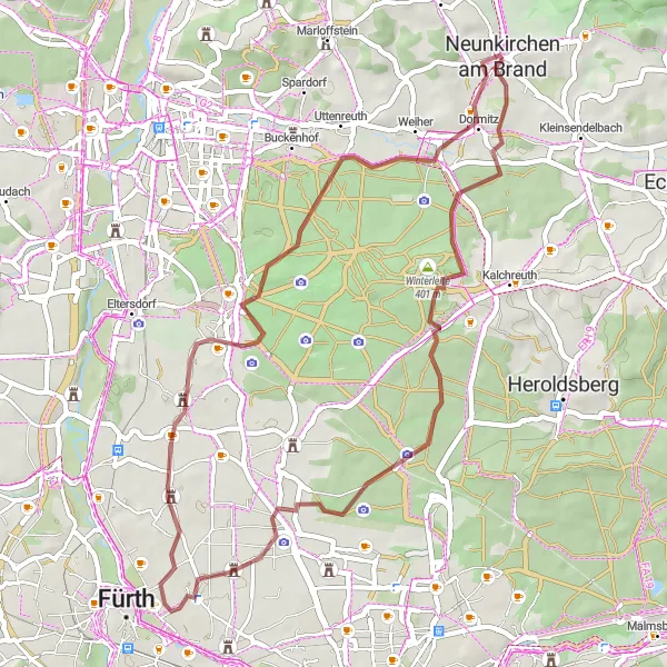
This gravel route starting near Neunkirchen am Brand takes you through picturesque landscapes and offers stunning views of the Kahlberg and Dormitz. With a moderate ascent of 258 meters and a distance of 46 kilometers, it is suitable for experienced gravel bikers. The route passes by several highlights, including the Frauenkreuz, Lerchenbühl, Großgründlach, Turmberg, and Dormitz.
gravel
46 km
258 m
Tough
Route profile
Highlights on the route
0 km
0 km
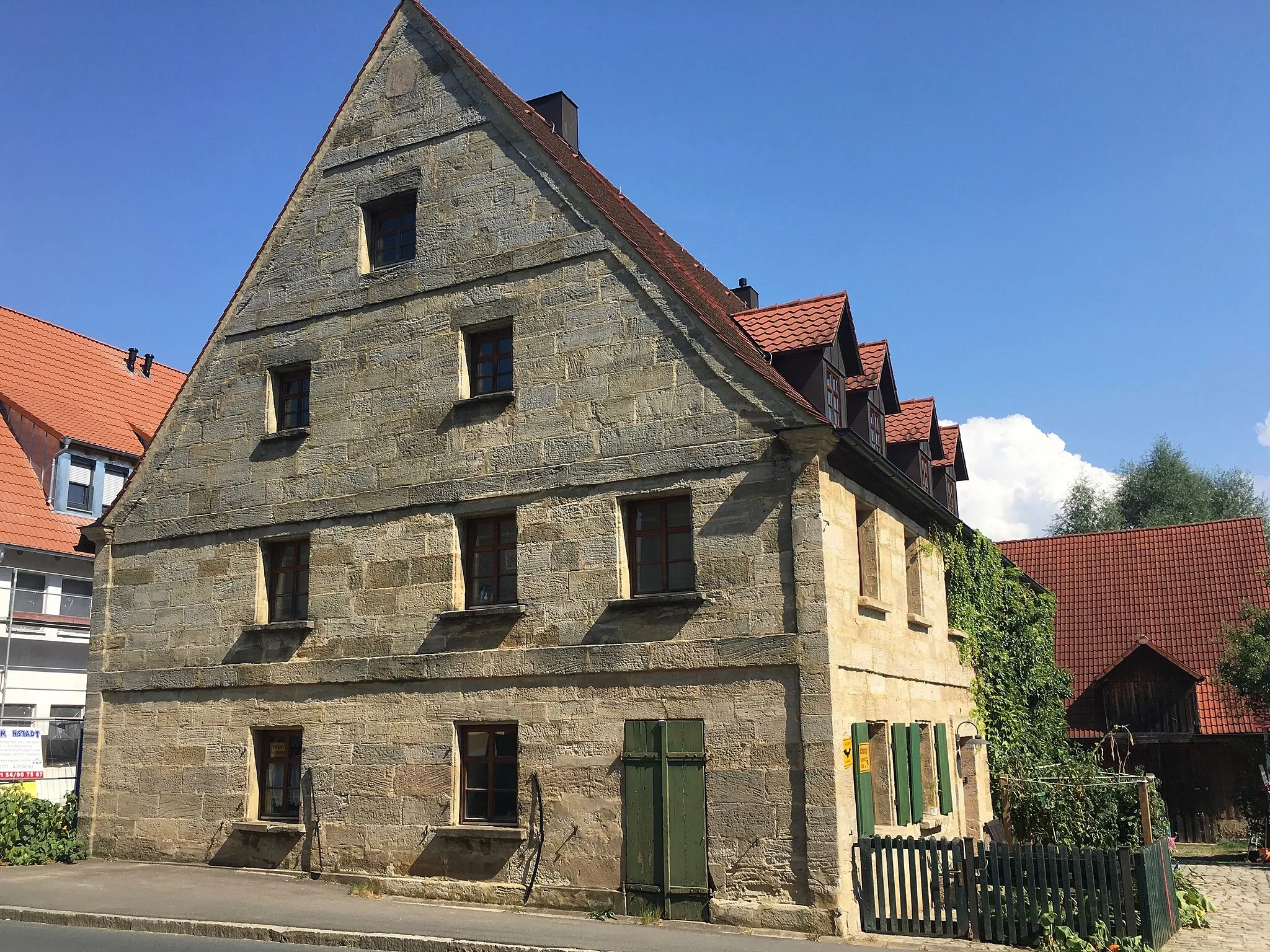
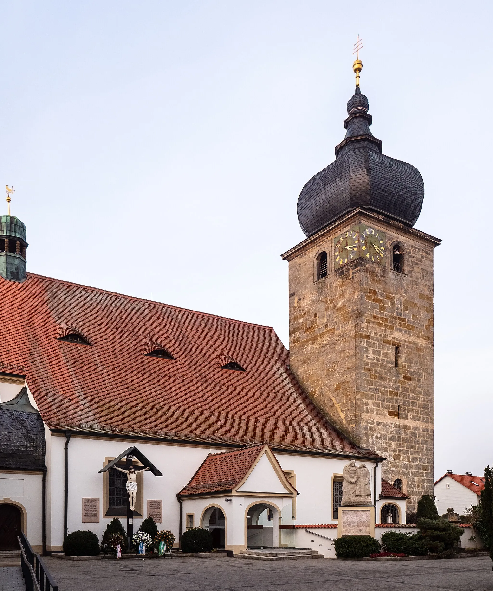
Start: Neunkirchen am Brand City centerNeunkirchen am Brand: A cyclist's haven in Oberfranken.
Neunkirchen am Brand, located in the Oberfranken region of Germany, is a cyclist-friendly locality that offers a range of cycling opportunities. The area is characterized by its rolling hills, charming villages, and beautiful landscapes. Cyclists can explore the nearby Franconian Switzerland region, known for its challenging climbs and scenic routes. Famous climbs like the Weißenohe-Dainsbach provide both challenges and magnificent views. Neunkirchen am Brand is also close to the city of Nuremberg, offering additional cycling routes and cultural attractions. Overall, Neunkirchen am Brand is a great destination for cyclists looking to immerse themselves in both nature and culture.9 km
9 km
Kahlberg392 mPeakLocated at a distance of 9 kilometers, the Kahlberg offers panoramic views of the surrounding countryside.
13 km
13 km
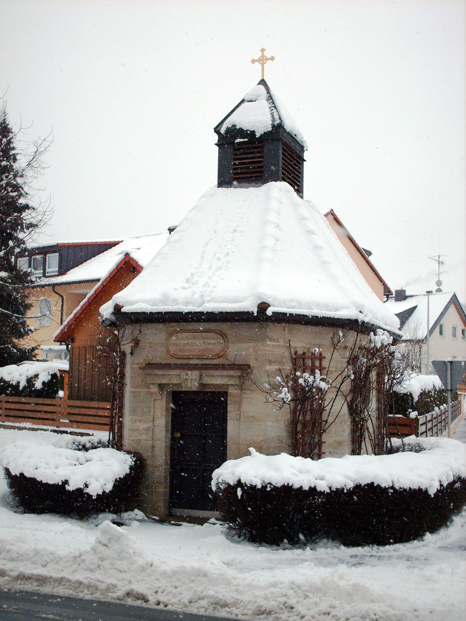
FrauenkreuzAttractionApproximately 13 kilometers into the route, you will pass by the Frauenkreuz, a historical cross monument.
21 km
21 km
Lerchenbühl307 mPeakAt a distance of 21 kilometers, enjoy the beauty of Lerchenbühl, a charming village.
29 km
29 km
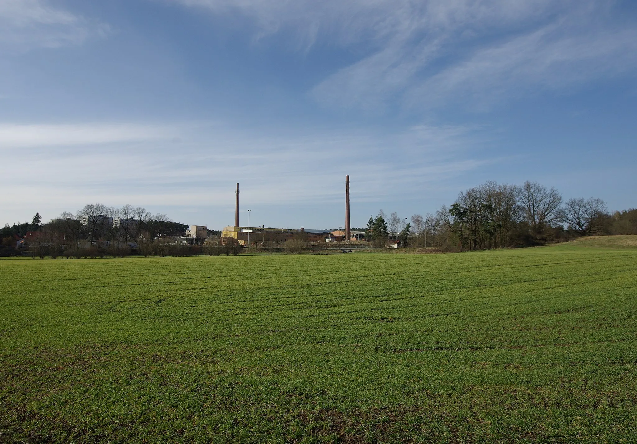
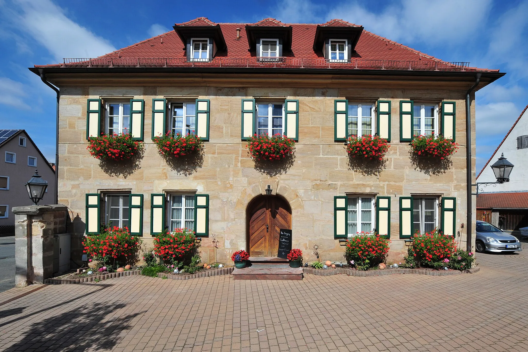
GroßgründlachSub-urbAfter 29 kilometers, you will reach Großgründlach, a picturesque town with traditional half-timbered houses.
35 km
35 km
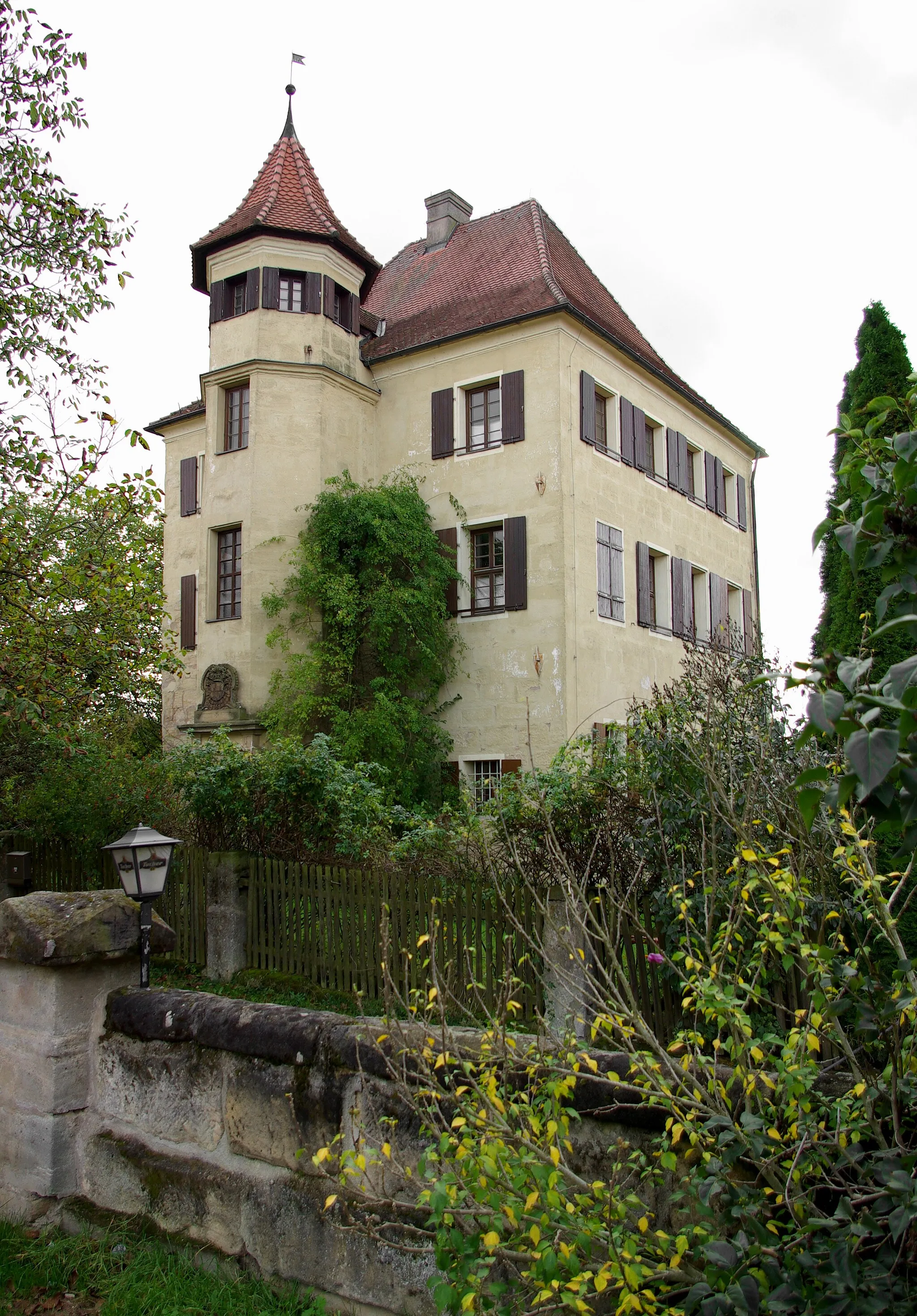
Turmberg327 mPeakAt 35 kilometers, make a stop at the Turmberg, a tower offering superb panoramic views.
43 km
43 km
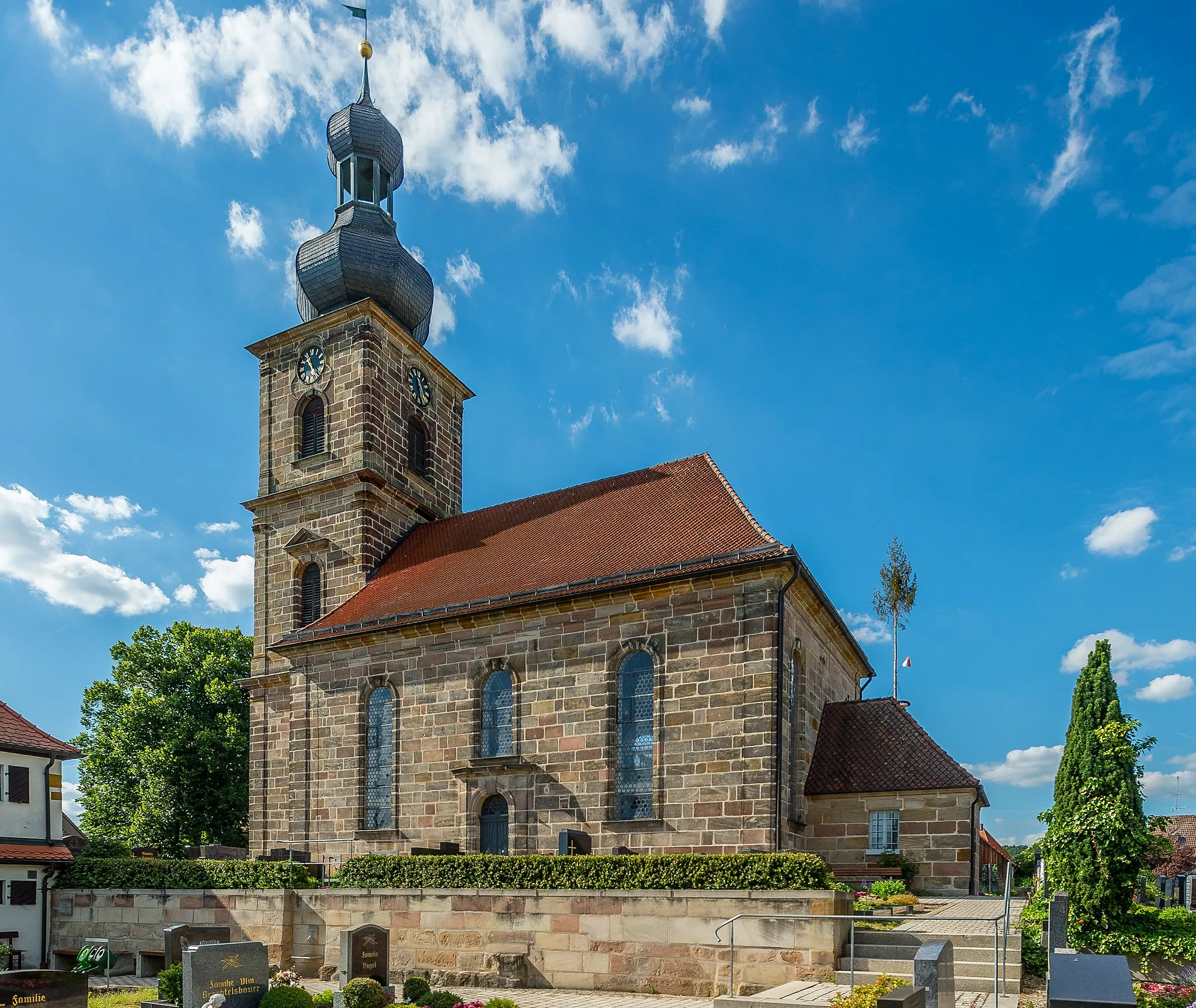
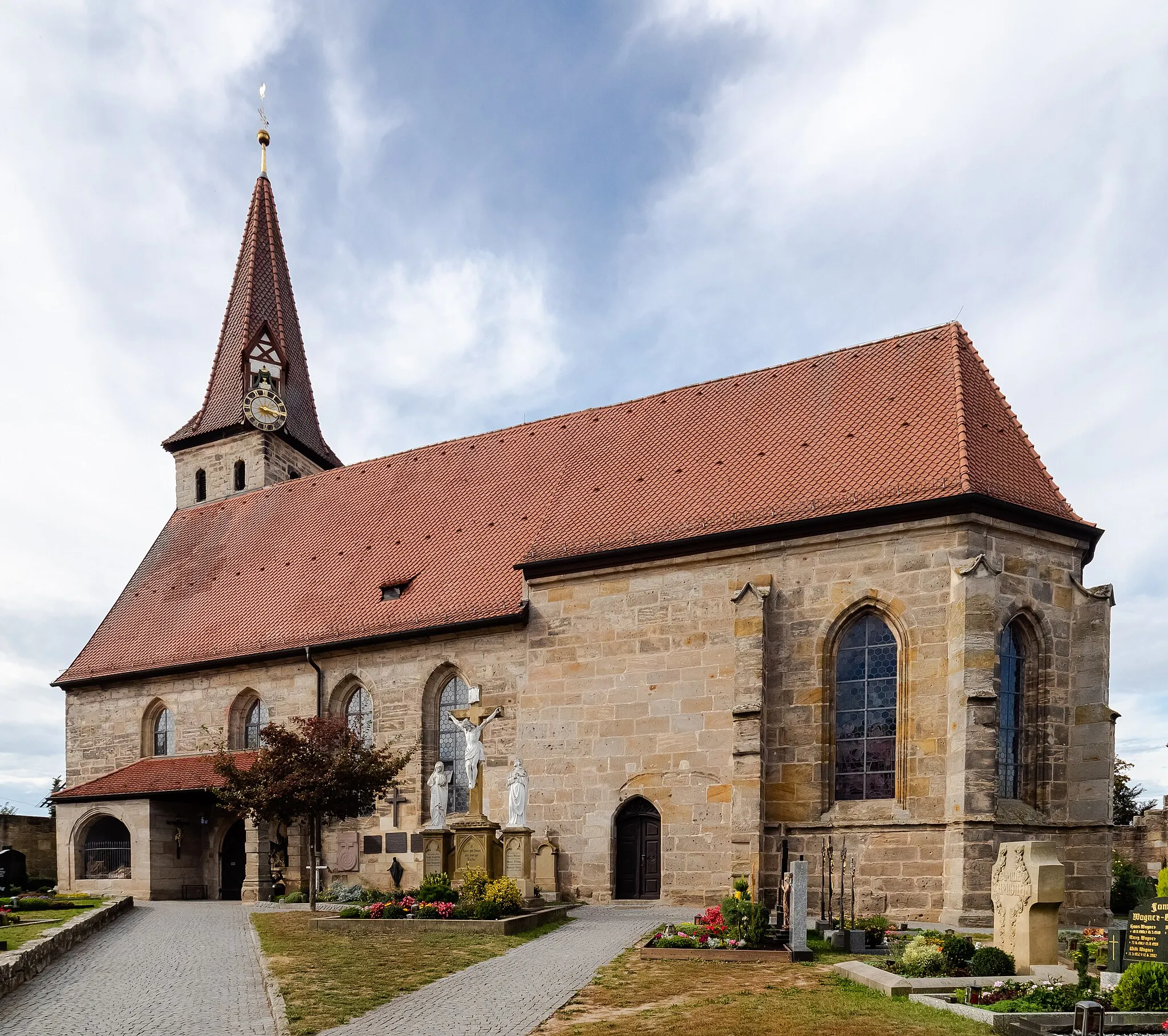
DormitzVillageThe route concludes with a visit to Dormitz, a tranquil village located around 43 kilometers from the start.
46 km
46 km
Finish: Neunkirchen am Brand City centerNeunkirchen am Brand: A cyclist's haven in Oberfranken.
Cycling routes nearby: