Marloffstein to Großhabersdorf Road Cycling Route
A road cycling route starting from Marloffstein
Cycle through the picturesque landscapes of Mittelfranken
Map
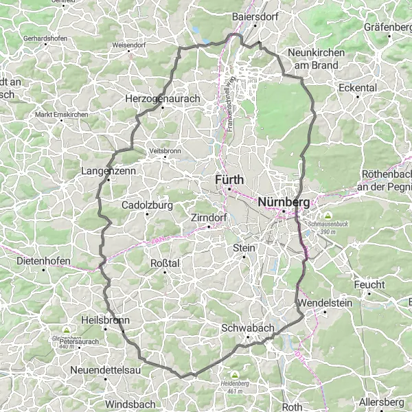
This road cycling route takes you from Marloffstein to Großhabersdorf, offering picturesque landscapes and charming villages along the way. With a total ascent of 1031 meters and a distance of 123 kilometers, it is suitable for well-trained amateurs. The route passes through highlights such as Weiher, Mistelberg, Ziegelstein, and Eichenbühl, offering beautiful views and interesting historical sights. Overall, this route provides an enjoyable cycling experience with moderate difficulty.
road
123 km
1031 m
Tough
Route profile
Highlights on the route
0 km
0 km
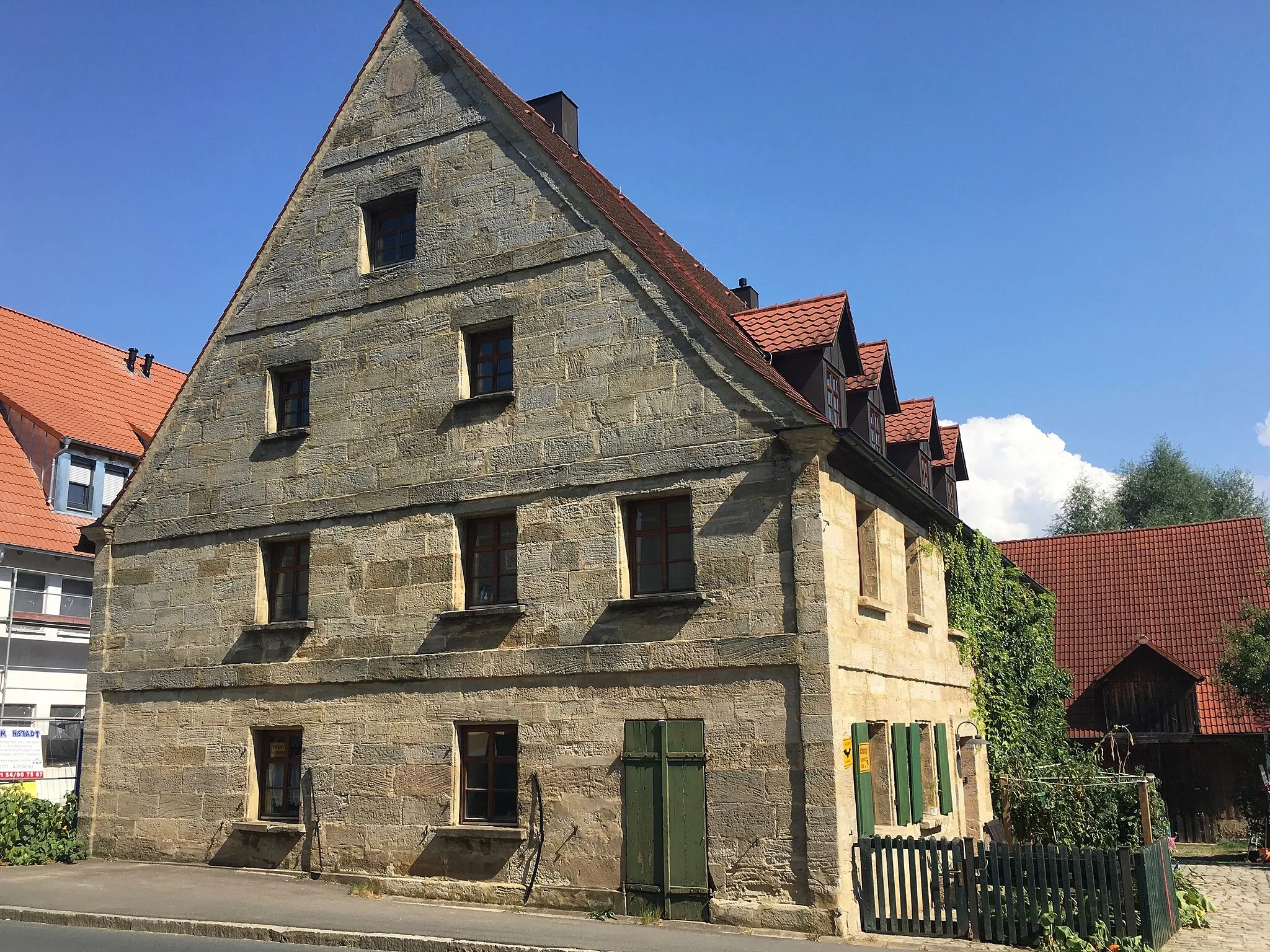
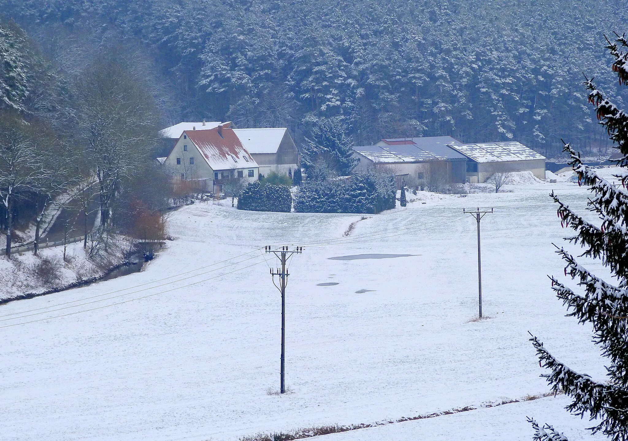
Start: Bräuningshof Village centerMarloffstein: Cycling through the picturesque Bavarian villages and countryside of Marloffstein.
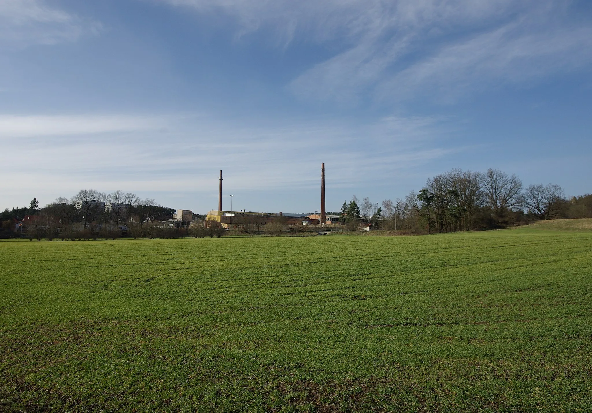
Marloffstein, located in Mittelfranken, Germany, offers an excellent cycling experience for both road cyclists and gravel cyclists. The locality boasts well-maintained roads and picturesque cycling routes that take riders through charming Bavarian villages and scenic countryside. Road cyclists can enjoy the rolling hills and challenging climbs in the area. Gravel cyclists have access to various off-road trails, including the popular Kalchreuth-Kirchehrenbach trail. Marloffstein is also close to the famous Franconian Switzerland, a rock climbing paradise and a popular spot for outdoor enthusiasts. With its diverse terrain and beautiful landscapes, Marloffstein is a fantastic destination for cyclists of all levels.7 km
7 km
WeiherVillageWeiher is a charming village known for its beautiful lake and peaceful atmosphere.
13 km
13 km
Mistelberg418 mPeakMistelberg offers stunning panoramic views of the surrounding countryside.
21 km
21 km
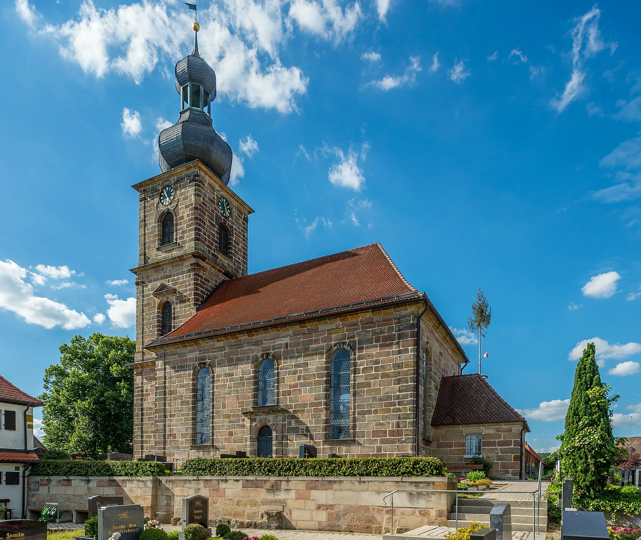
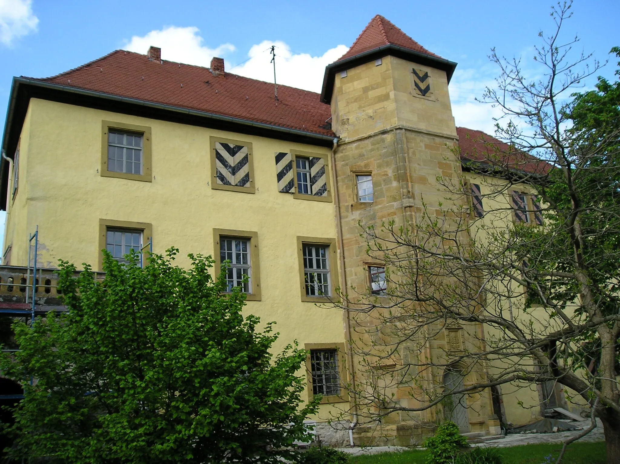
ZiegelsteinSub-urbZiegelstein is a historic town with cobblestone streets and well-preserved architecture.
33 km
33 km
Eichenbühl362 mPeak55 km
55 km
Geyersberg405 mPeakGeyersberg is a hill with ancient ruins and offers a breathtaking view of the region.
57 km
57 km
BuckenmühleVillageBuckenmühle is a traditional water mill that showcases the region's farming history.
77 km
77 km
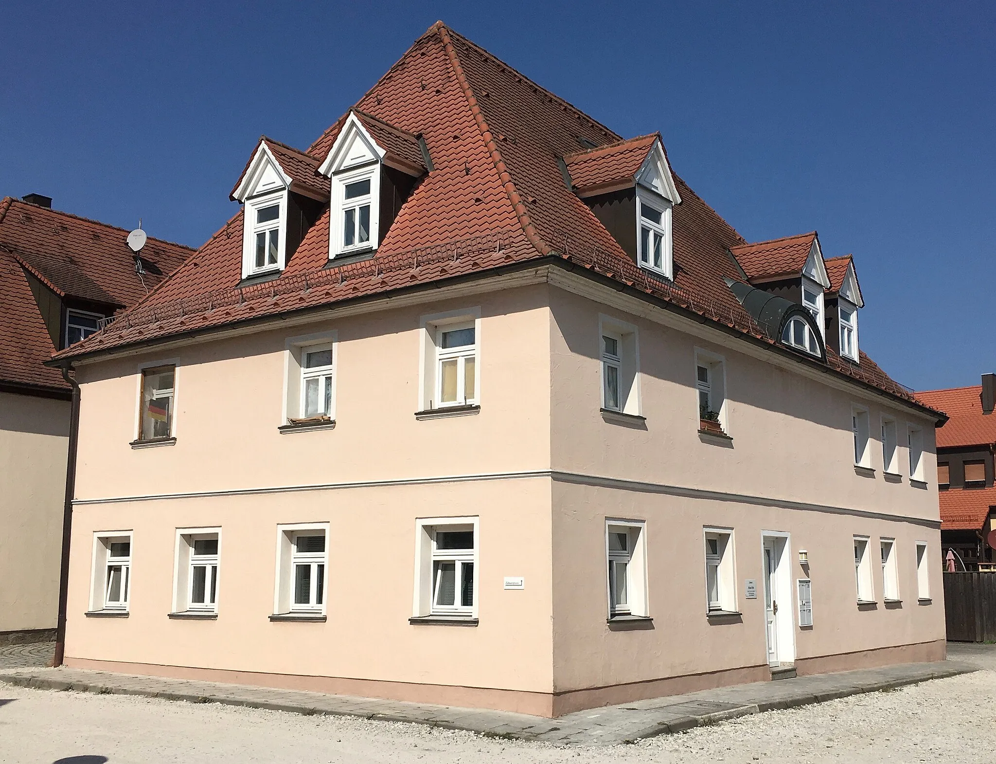
GroßhabersdorfVillageGroßhabersdorf is a picturesque village with half-timbered houses and friendly locals.
81 km
81 km
Galgenberg376 mPeakGalgenberg is a hill known for its scenic beauty and well-marked hiking trails.
93 km
93 km
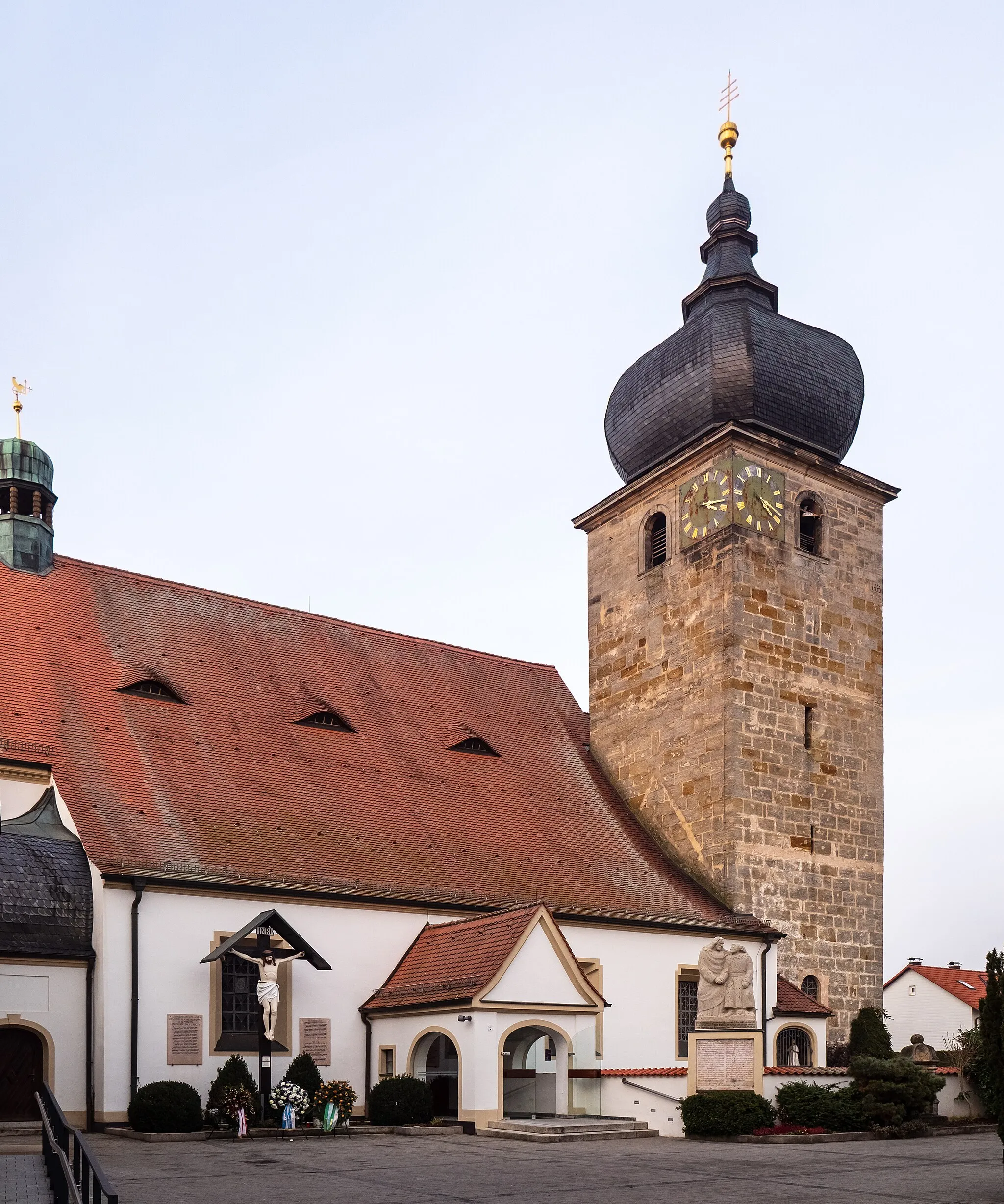
KirchfembachVillageKirchfembach is a quaint village with a charming church and traditional Bavarian architecture.
107 km
107 km
BeutelsdorfVillageBeutelsdorf is a small village with a rich agricultural heritage and beautiful landscapes.
115 km
115 km
Hinterer Giesberg314 mPeakHinterer Giesberg is a hill that offers stunning panoramic views of the surrounding countryside.
123 km
123 km
Finish: Bräuningshof Village centerMarloffstein: Cycling through the picturesque Bavarian villages and countryside of Marloffstein.
Cycling routes from Marloffstein:
Marloffstein Countryside Road Cycling Route Bavarian Charm - Leisurely Gravel Ride Hills and Valleys - Road Cycling Extravaganza Off the Beaten Path - Scenic Road Cycling Around Marloffstein – Gravel Adventure Gravel Adventure through Mittelfranken Marloffstein Gravel Adventure Scenic Road Cycling Route from Marloffstein to Amlingstadt Möhrendorf Gravel Adventure Marloffstein to Großhabersdorf Road Cycling Route
Cycling routes nearby: