The Franconian Heights Challenge
A road cycling route starting from Greding
Conquer the Franconian Heights and discover hidden gems along the way
Map
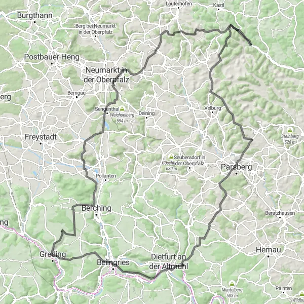
Embark on a challenging cycling adventure through the beautiful Franconian countryside near Greding. This round-trip route takes you on a 140 km journey with 1787 meters of ascent, offering stunning views and a chance to explore some of the region's most fascinating highlights. With a mix of road and gravel sections, this route is suitable for road or gravel bikes.
road
140 km
1787 m
Tough
Route profile
Highlights on the route
0 km
0 km
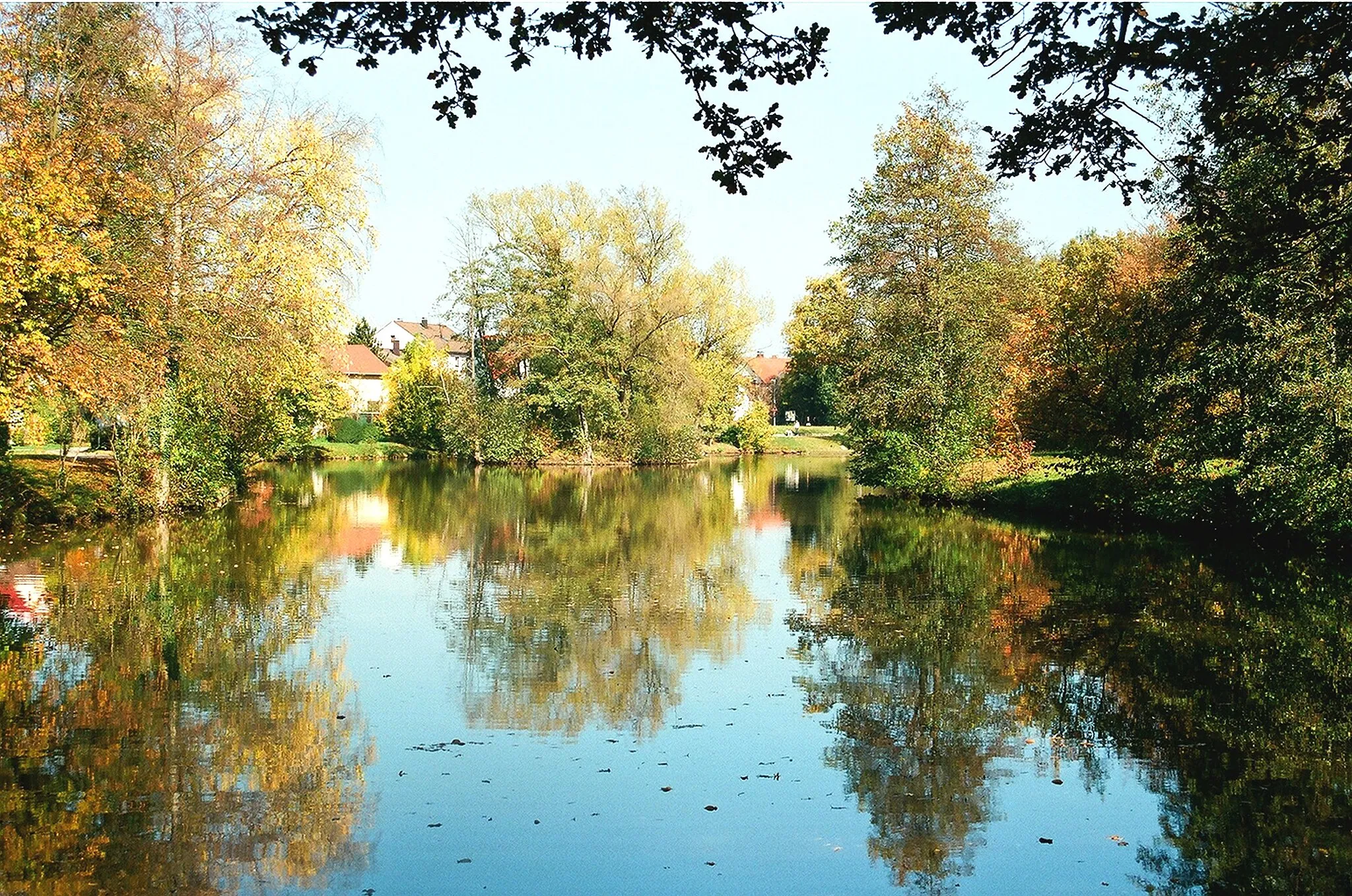
Start: Greding City centerGreding: Cycling paradise in Mittelfranken
Greding, located in the region of Mittelfranken in Germany, is a picturesque town that offers great opportunities for road and gravel cycling. The surrounding countryside features beautiful landscapes with rolling hills and quiet roads, perfect for exploring on two wheels. Cyclists can enjoy scenic rides through the nearby Altmühltal Nature Park, which offers stunning views of limestone cliffs and the winding Altmühl River. Greding also serves as a starting point for challenging climbs, such as the Gredinger Trub, known for its steep gradients and great views from the top. With its cycling-friendly atmosphere and access to stunning routes, Greding is a fantastic destination for cyclists of all levels.23 km
23 km
TalblickViewpointEnjoy a picturesque view at Talblick while catching your breath after conquering a steep climb.
31 km
31 km
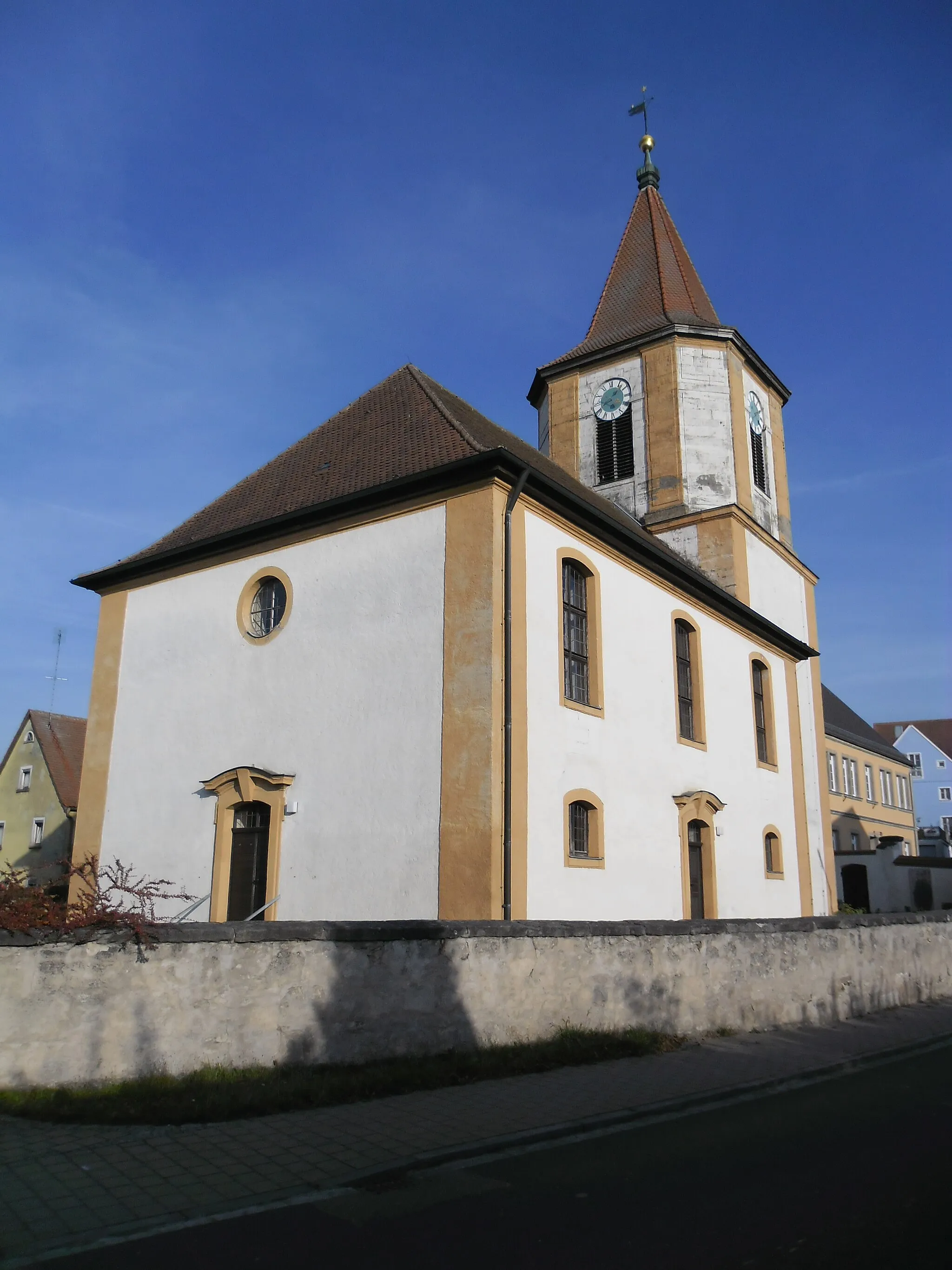
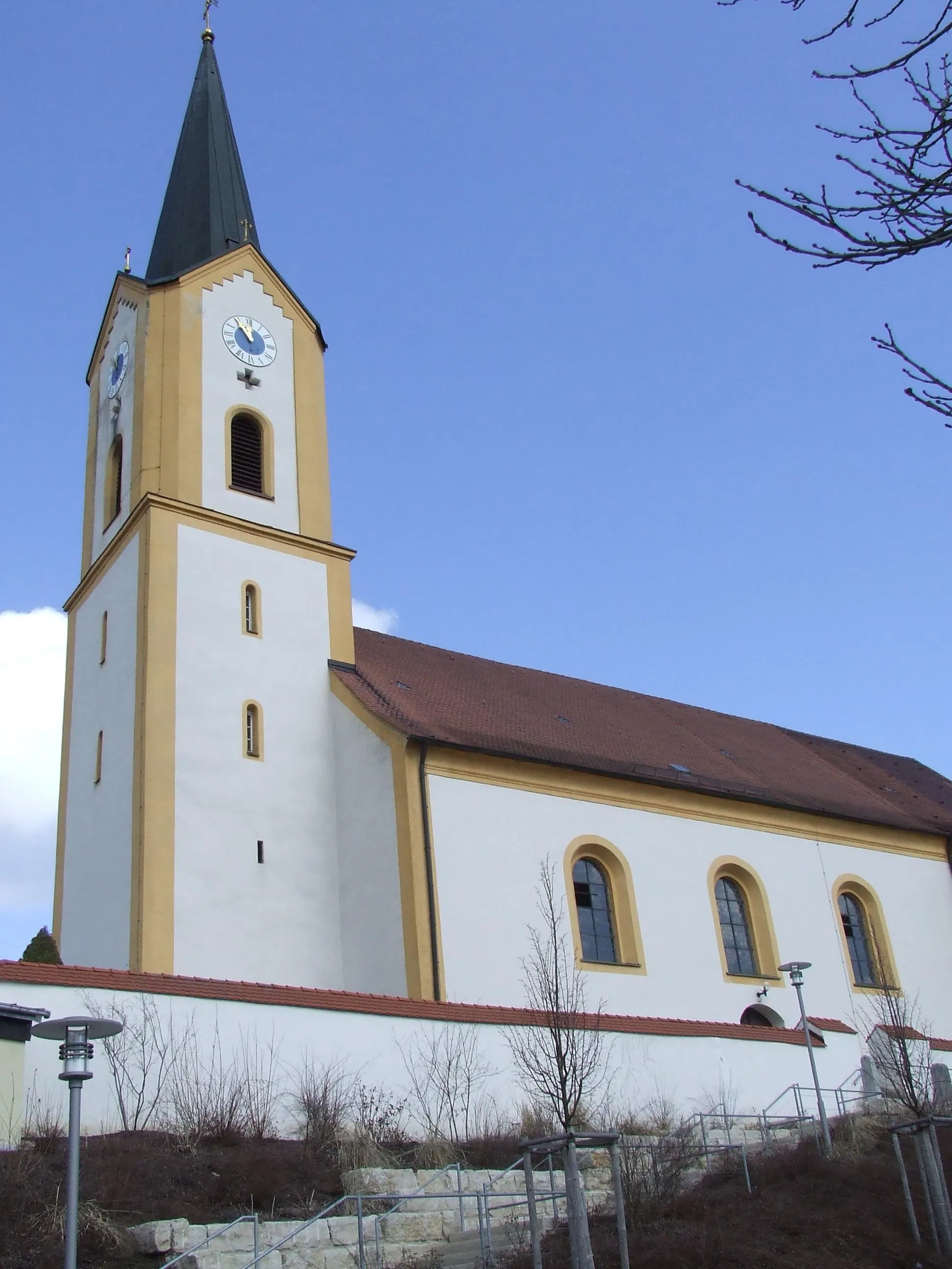
SengenthalVillagePass through the charming village of Sengenthal, known for its traditional half-timbered houses.
39 km
39 km
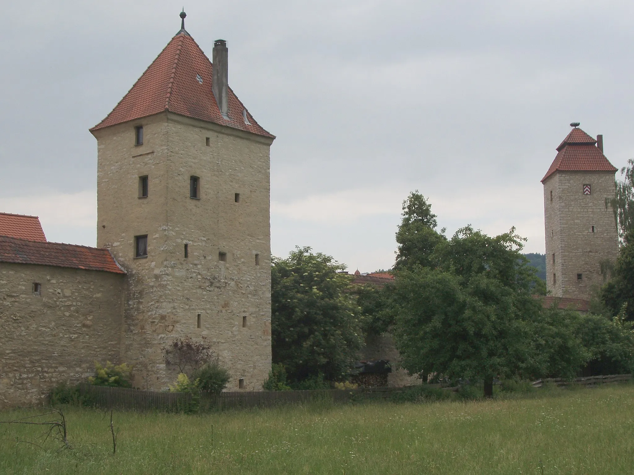
WolfsteinSub-urbDiscover the ruins of Wolfstein Castle, perched atop a hill with beautiful panoramic vistas.
50 km
50 km
Steinberg591 mPeakVisit Steinberg, a medieval fortified town with well-preserved city walls and ancient charm.
84 km
84 km
SchwammerlViewpointStop by Schwammerl, a cozy cafe where you can refuel with delicious pastries and local specialties.
84 km
84 km
König-Otto-TropfsteinhöhleAttractionExplore the König-Otto-Tropfsteinhöhle, a fascinating stalactite cave that offers a unique underground experience.
97 km
97 km
Buchenberg573 mPeakCycle through the peaceful Buchenberg Forest, surrounded by breathtaking nature and tranquil serenity.
98 km
98 km
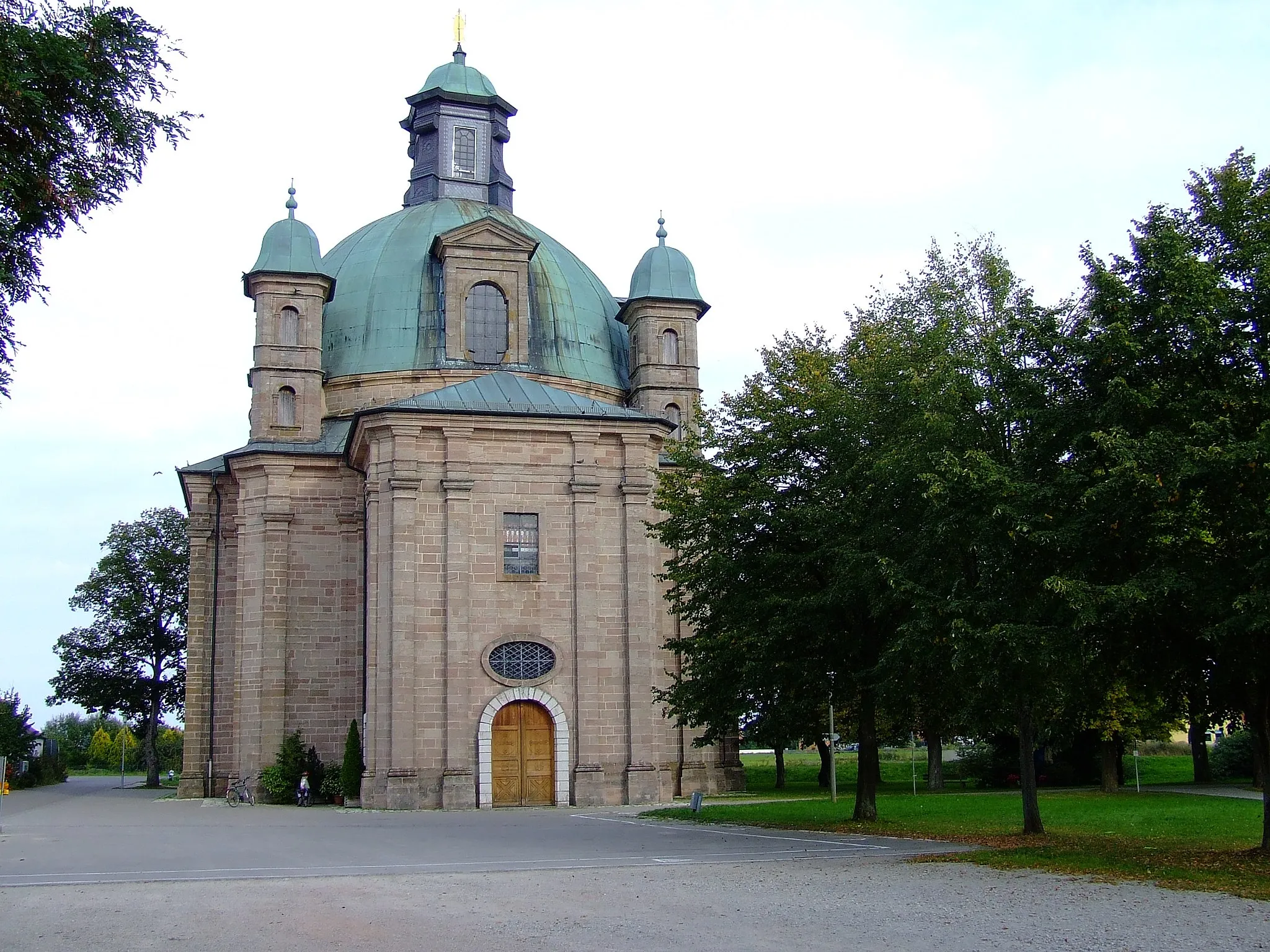
ParsbergTownMarvel at the impressive Parsberg Castle, an architectural masterpiece with a rich history.
114 km
114 km
ErggertshofenVillagePass through Erggertshofen, a small village known for its charming countryside atmosphere.
129 km
129 km
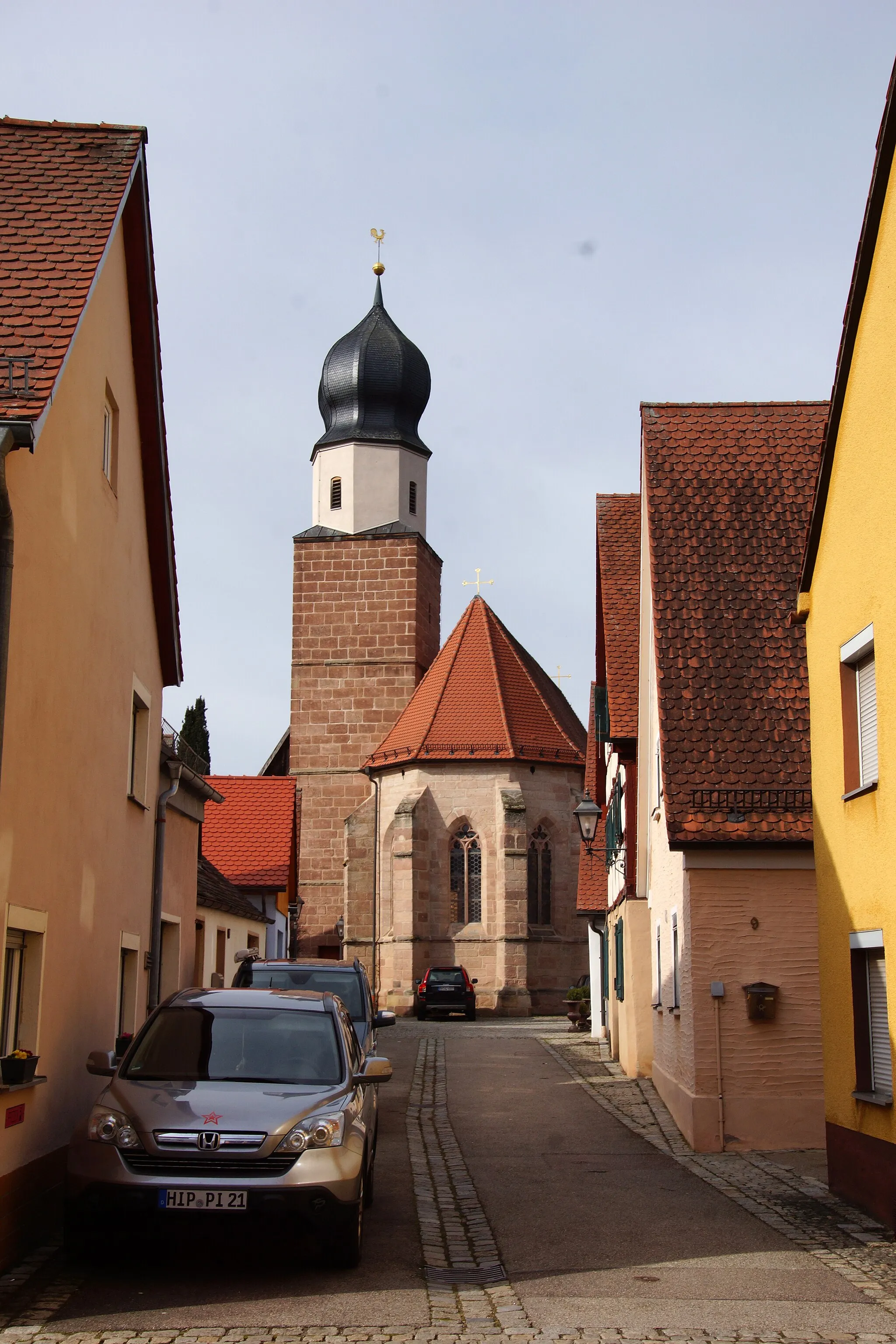
Arzberg507 mPeakDiscover the quaint village of Arzberg, home to traditional Franconian timber-framed houses.
131 km
131 km
Schloss HirschbergCastleAdmire the grandeur of Schloss Hirschberg, a stunning Renaissance castle surrounded by beautiful gardens.
140 km
140 km
Finish: Greding City centerGreding: Cycling paradise in Mittelfranken
Cycling routes from Greding:
Scenic Views and Roman History Countryside Charm and Historic Sites Explore Scenic Routes and Historical Landmarks Road Cycling Adventure around Greding Sulzbuck and Römischer Wachturm Scenic Road Cycling Tour near Greding Picturesque Landscapes and Serene Villages Adventurous Gravel Journey near Greding Greding Gravel Adventure The Franconian Heights Challenge Greding and Beyond
Cycling routes nearby: