Höchstadt-Sambach Gravel
A gravel cycling route starting from Gremsdorf
Scenic gravel route from Höchstadt to Sambach
Map
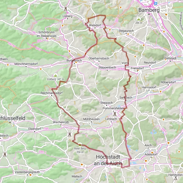
The Höchstadt-Sambach gravel route is a scenic adventure that takes cyclists through the beautiful landscapes of Mittelfranken. With a total distance of 68 kilometers and an ascent of 709 meters, this route provides a moderate challenge for gravel enthusiasts. Highlights along the way include Höchstadt an der Aisch, Roter Berg, Burgebrach, Walsdorf, Sambach, and Gremsdorf.
gravel
68 km
709 m
Chill
Route profile
Highlights on the route
0 km
0 km
Start: Gremsdorf Village centerGremsdorf: Scenic cycling in Mittelfranken.
Gremsdorf is a locality in the Mittelfranken region of Germany, offering a range of cycling opportunities for both road and gravel cyclists. The area is characterized by its flat to rolling terrain, making it ideal for leisurely rides or faster pace training. The landscape consists of scenic farmlands and charming villages, providing cyclists with an authentic rural cycling experience. Nearby, cyclists can explore the Franconian Switzerland, a region known for its unique rock formations and challenging climbs. Overall, Gremsdorf is a cyclist-friendly locality that offers a mix of scenic routes and opportunities for training.3 km
3 km
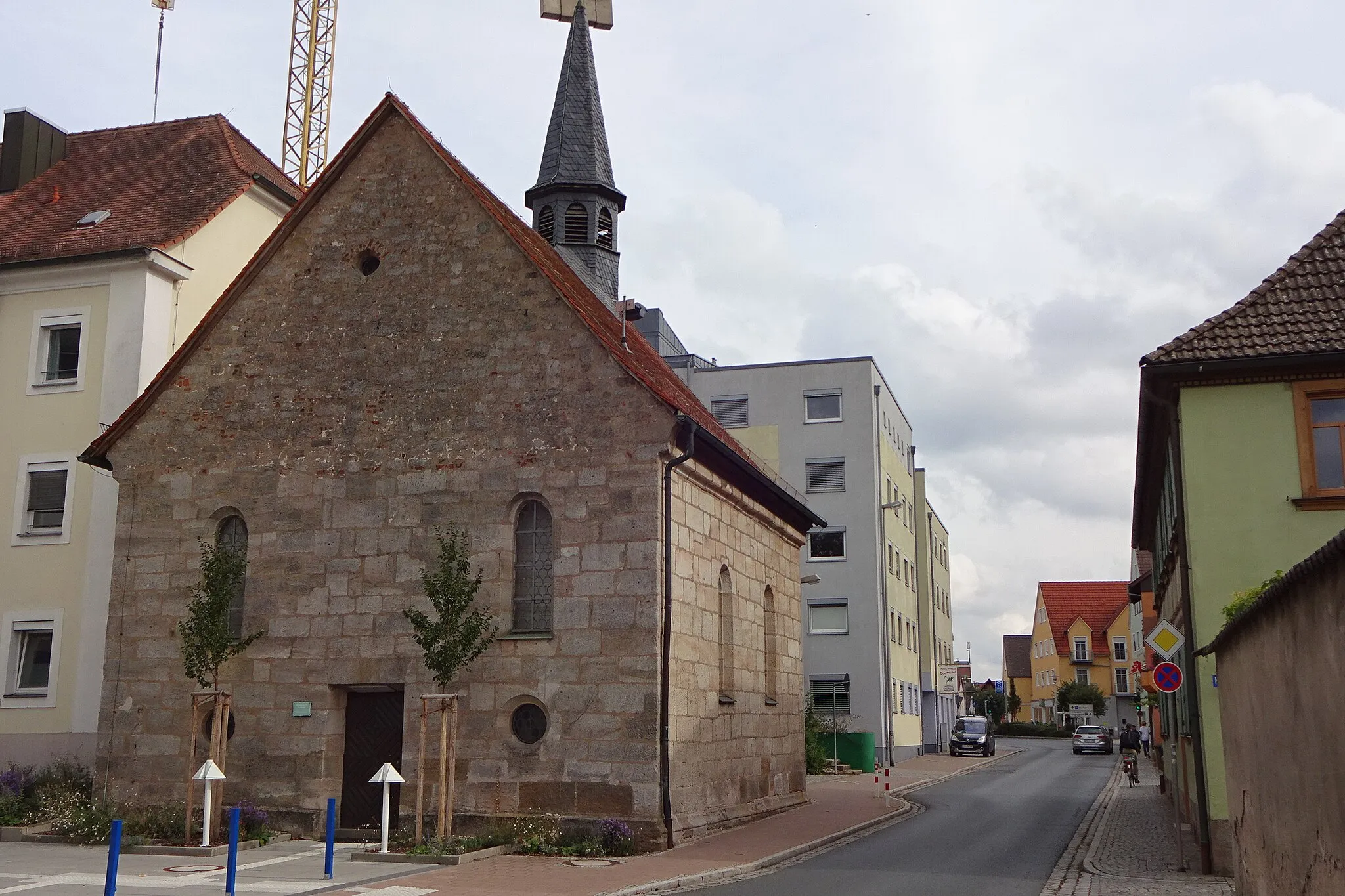
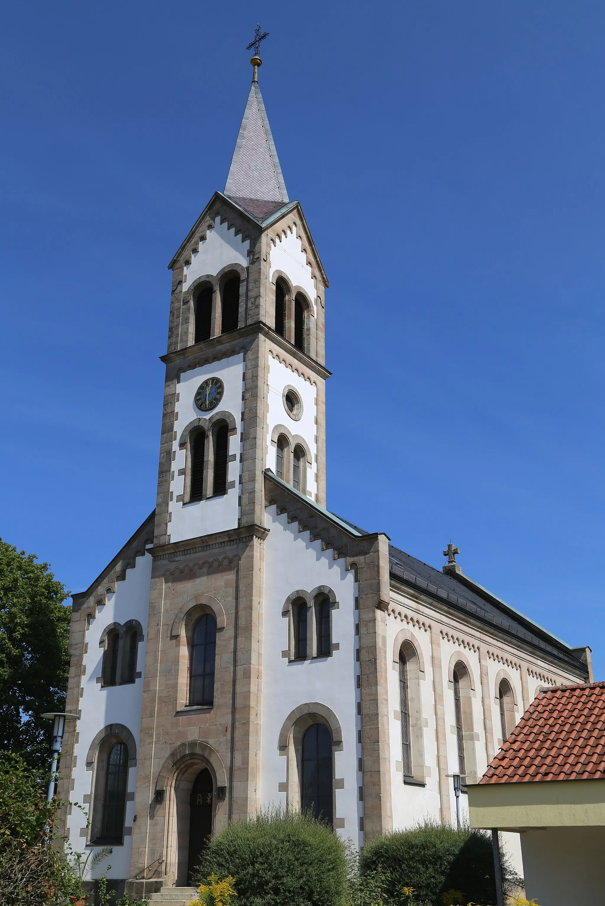
Höchstadt an der AischTownHöchstadt an der Aisch is a charming town with a picturesque historic center and beautiful churches.
8 km
8 km
Roter Berg356 mPeakRoter Berg is a challenging gravel climb with stunning panoramic views at the top.
25 km
25 km
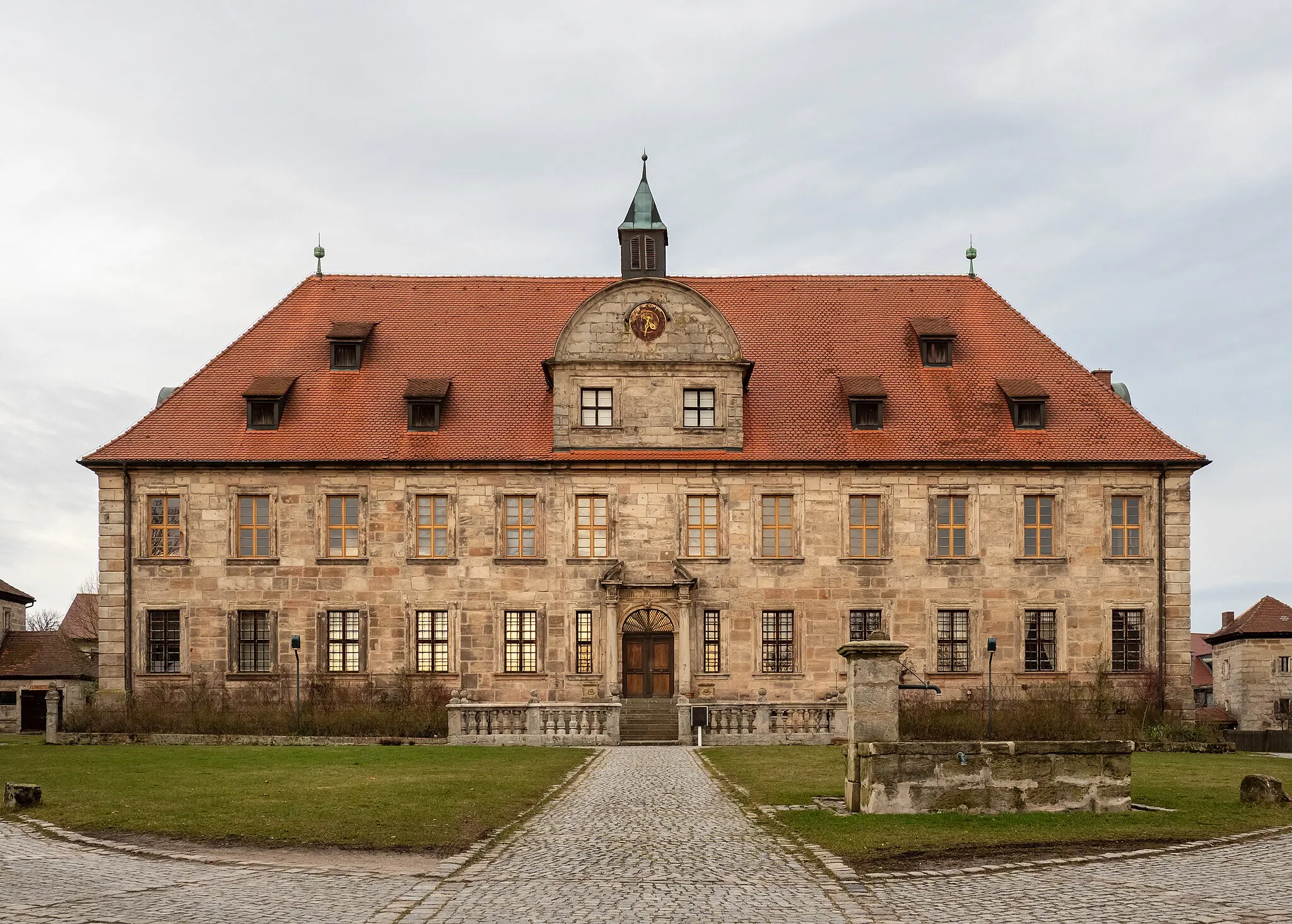
BurgebrachVillageBurgebrach is a historic town with well-preserved architecture and a scenic location along the Pegnitz River.
32 km
32 km
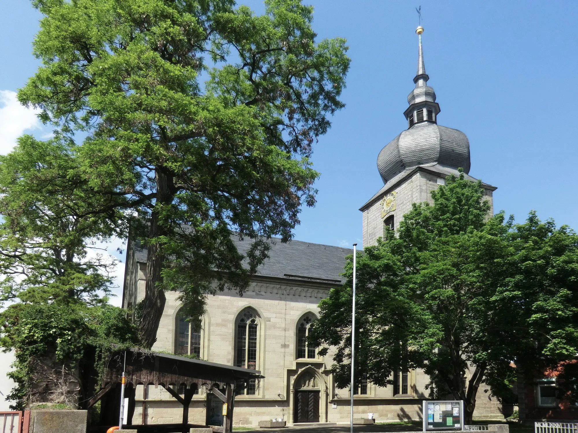
WalsdorfVillageWalsdorf is a small village with a charming church and peaceful countryside surroundings.
55 km
55 km
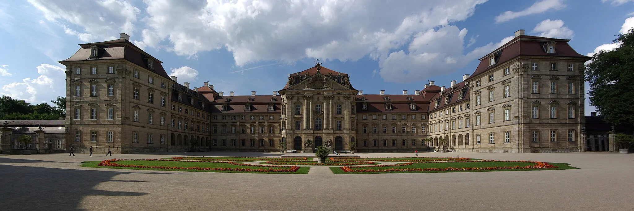
SambachVillageSambach is a picturesque village known for its traditional Franconian architecture and friendly locals.
68 km
68 km
Finish: Gremsdorf Village centerGremsdorf: Scenic cycling in Mittelfranken.
Cycling routes from Gremsdorf:
Vogelberg Loop Adelsdorf-Gremsdorf Gravel Höchstadt-Sambach Gravel Gremsdorf - Mitteldorf Gravel Route Gremsdorf - Vogelberg Gravel Route Gremsdorf - Höchstadt Road Route Uehlfeld-Wachenroth Loop Gremsdorf - Krausenbechhofen Gravel Route Gremsdorf - Forchheim Road Route Adelsdorf-Hetzles Circuit The Mittelfranken Adventure
Cycling routes nearby: