Challenging Climbs and Historic Towns
A road cycling route starting from Neuendettelsau
Take on challenging climbs and explore historic towns on this road cycling route.
Map
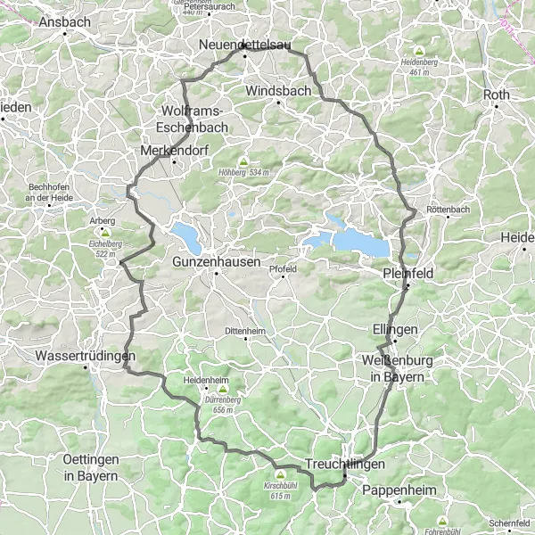
Get ready for a challenging road cycling adventure as you take on steep climbs and conquer the challenging routes of Mittelfranken. This route combines thrilling ascents with visits to historic towns, providing an exceptional cycling experience. Experience the thrill of conquering the Hergersbach ascent and enjoy the stunning panoramic views from Birkenberg. Pass through Nagelberg and discover the rich history of this medieval town. The ascent on this route is challenging, suitable for experienced road cyclists.
road
125 km
1107 m
Tough
Route profile
Highlights on the route
0 km
0 km
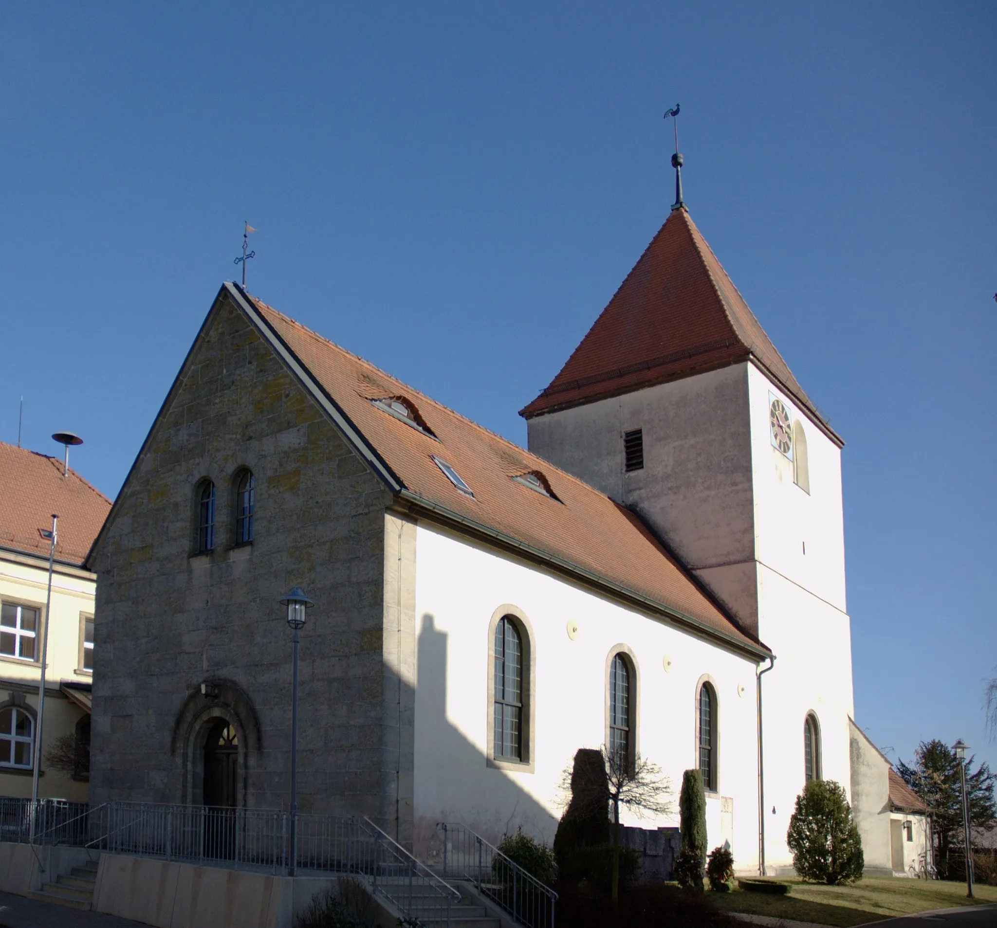
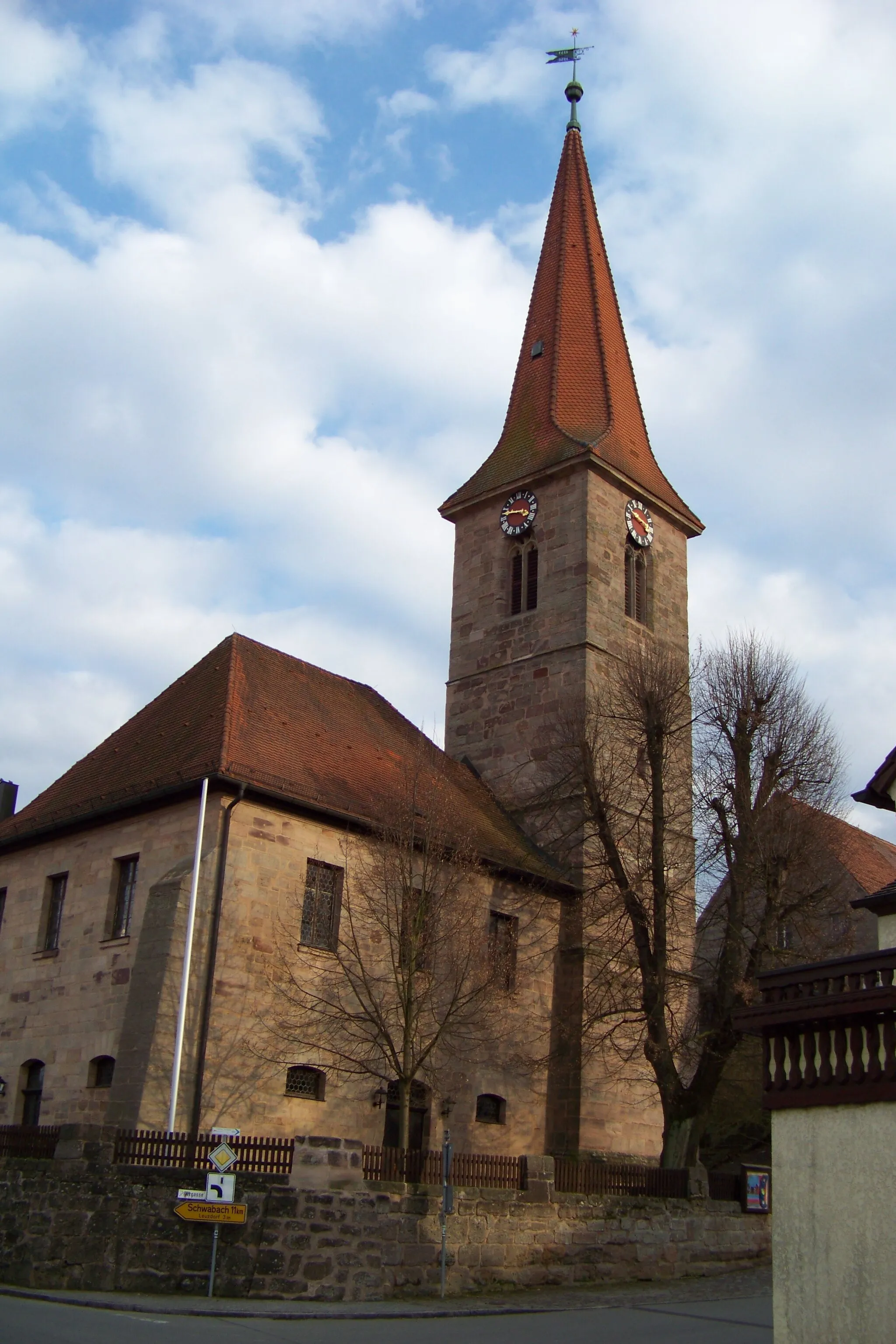
Start: Neuendettelsau City centerNeuendettelsau: Discover Bavarian Charm in Neuendettelsau
Neuendettelsau is a municipality located in the Mittelfranken region of Germany. It offers a mix of scenic roads and picturesque landscapes for both road and gravel cyclists. The area features beautiful countryside routes, charming Bavarian villages, and peaceful surroundings. While Neuendettelsau might not have any famous cycling-related spots or well-known climbs nearby, its tranquil atmosphere and cycling-friendly infrastructure make it an ideal destination for riders of all skill levels.10 km
10 km
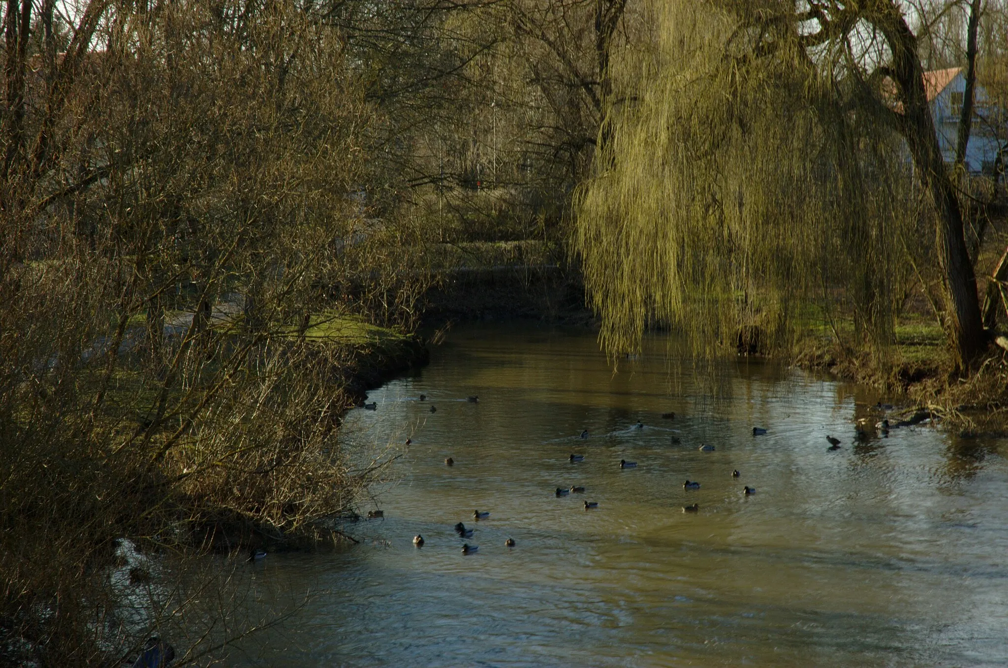
HergersbachVillageExplore the small village of Hergersbach and soak in the rural beauty.
12 km
12 km
Birkenberg409 mPeakChallenge yourself on the ascent to Birkenberg and be rewarded with panoramic views of the surrounding landscapes.
21 km
21 km
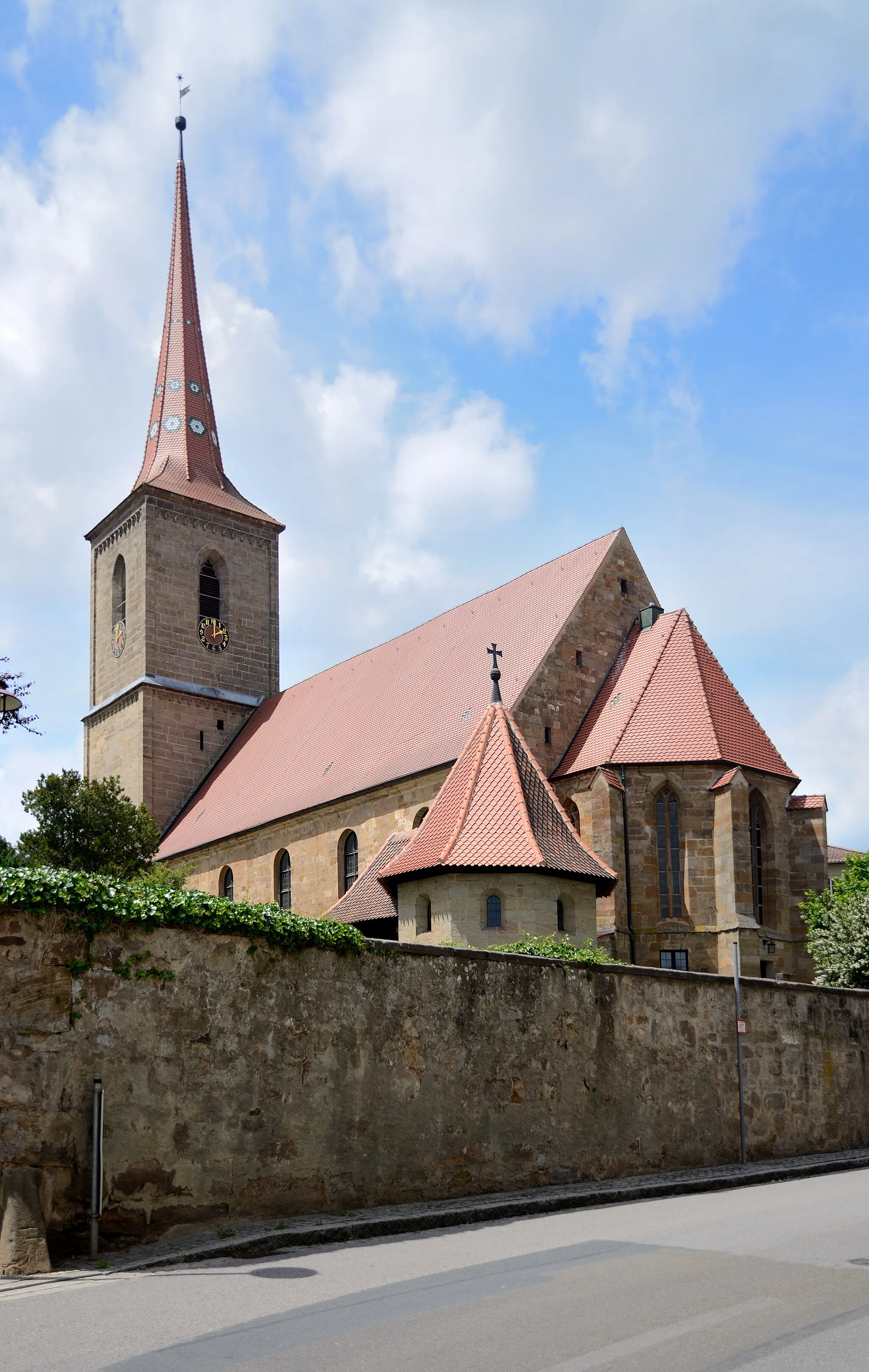
Hörlberg448 mPeakPass through Hörlberg and discover its charming old town and historic architecture.
31 km
31 km
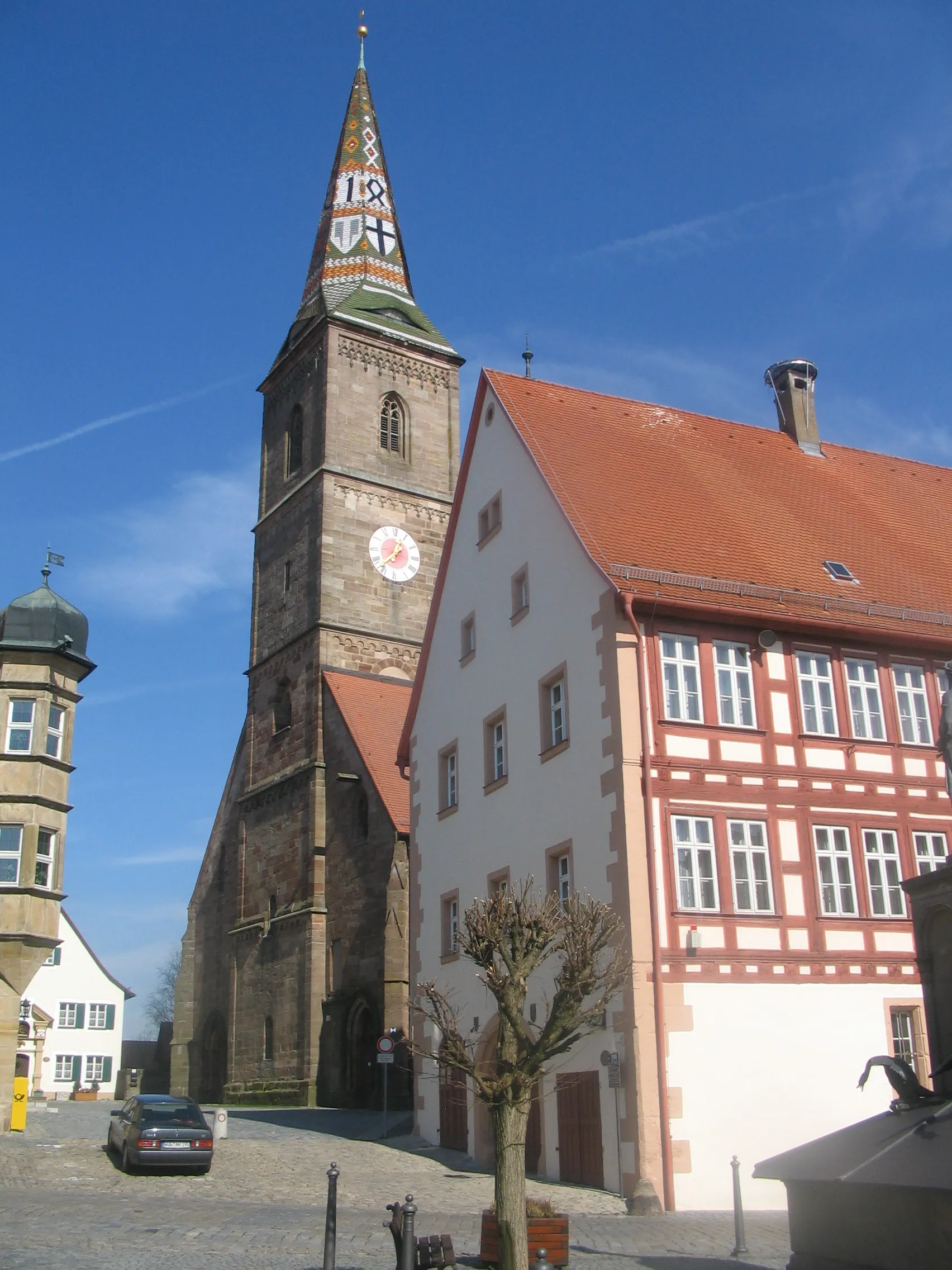
PleinfeldTownCycle through Pleinfeld and appreciate its historic charm and beautiful surroundings.
52 km
52 km
Nagelberg542 mPeakVisit Nagelberg and immerse yourself in its medieval history and architecture.
54 km
54 km
TreuchtlingenTownClimb up Treuchtlingen and enjoy breathtaking views of the Altmühl Valley.
66 km
66 km
Schellenberg570 mPeakDiscover the small village of Schellenberg and enjoy the peaceful atmosphere.
68 km
68 km
SchlittenhartVillageCycle through Schlittenhart and soak in the tranquility of this rural gem.
76 km
76 km
Heidenheimer Buck595 mPeakExplore the Heidenheimer Buck and take in the stunning views from this vantage point.
90 km
90 km
LaufenbürgHamletStop by Laufenbürg and learn about its fascinating history and cultural heritage.
106 km
106 km
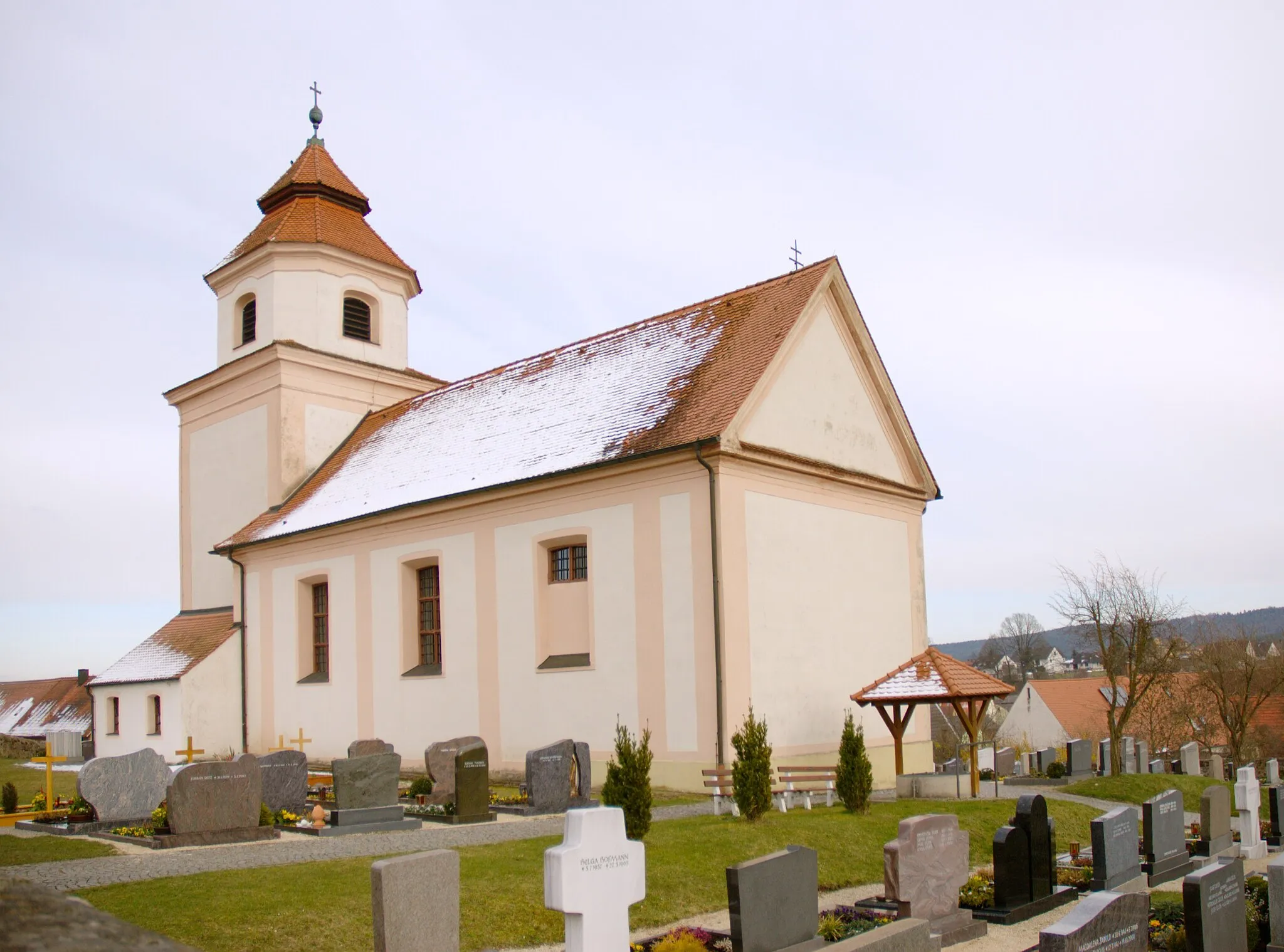
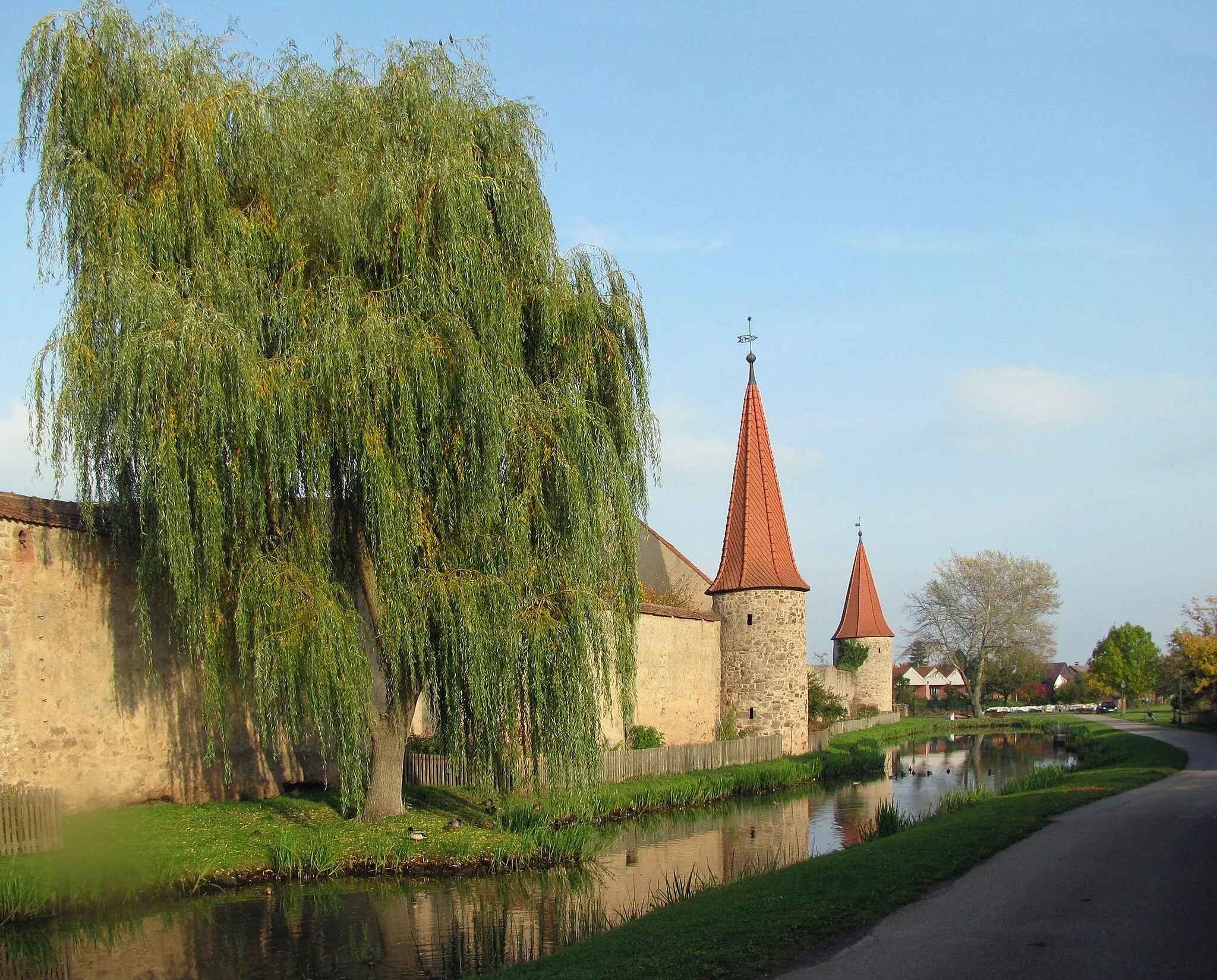
OrnbauVillageVisit Ornbau and admire its well-preserved historic city center.
114 km
114 km
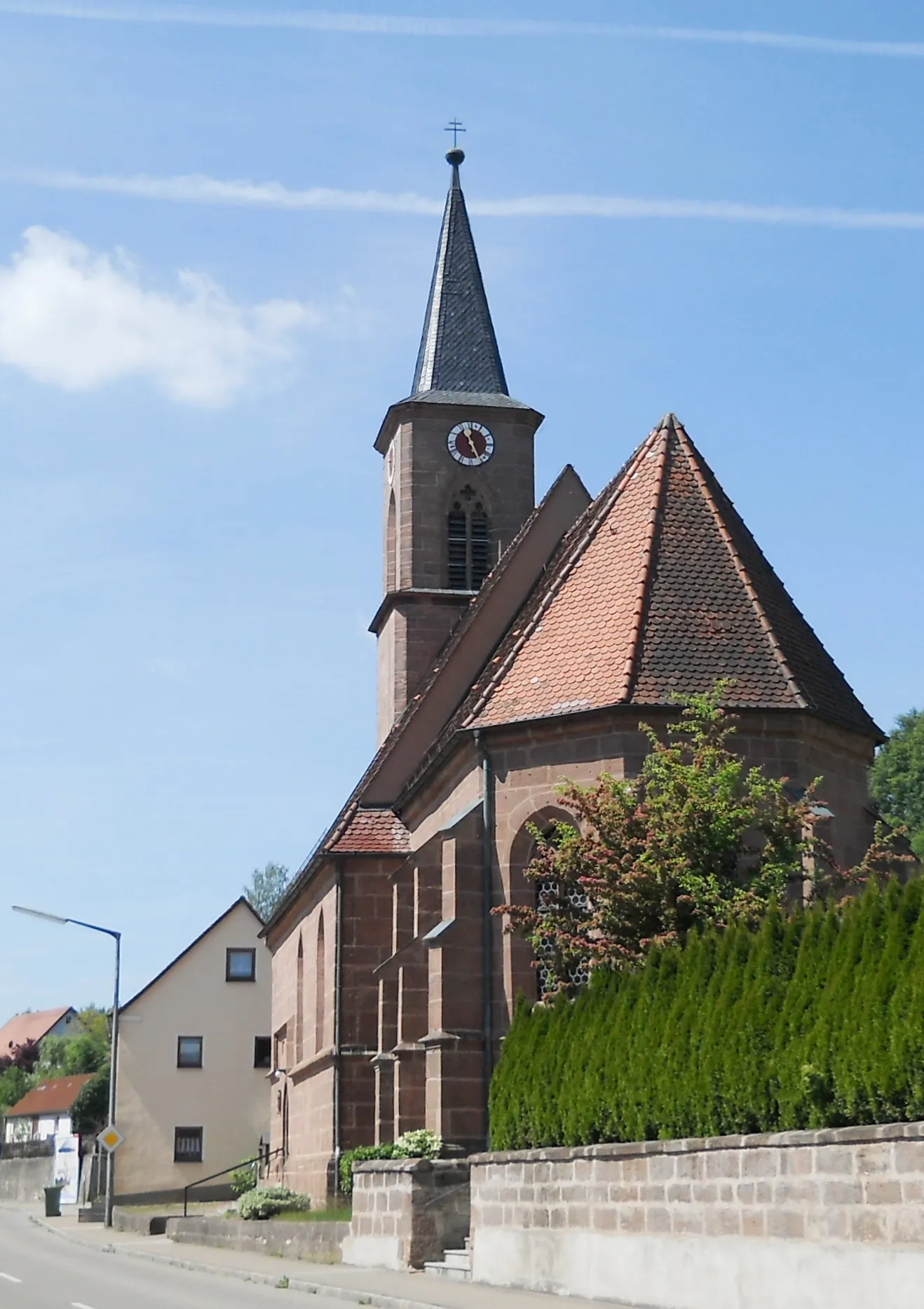
Wolframs-EschenbachTownExplore Wolframs-Eschenbach and discover its rich history and scenic beauty.
119 km
119 km
Geißberg431 mPeakPass through Geißberg and admire its idyllic setting and charming architecture.
125 km
125 km
Finish: Neuendettelsau City centerNeuendettelsau: Discover Bavarian Charm in Neuendettelsau
Cycling routes from Neuendettelsau:
Scenic Road Cycling Adventure Road Adventure to Historical Landmarks Gravel Escape into Nature Exploring the Herzogenaurach Region Challenging Climbs and Historic Towns Rural Charm and Serene Landscapes Neuendettelsau Round-Trip Road Cycling Route Gravel Adventure through the Hills Idyllic Villages and Natural Beauty Off-road Adventure and Scenic Lakes
Cycling routes nearby: