Ernstberg Loop
A road cycling route starting from Oberdachstetten
Explore the scenic route with challenging ascent
Map
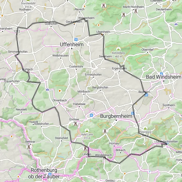
Embark on a picturesque journey through Mittelfranken, starting near Oberdachstetten. This road cycling route takes you through quaint towns and beautiful landscapes, with a total distance of 82 kilometers. The challenging ascent of 559 meters offers a great workout for well-trained amateurs. Enjoy the highlights along the route, including the historic Ernstberg and the charming town of Windelsbach. The overall difficulty of this route is rated as a 3, making it suitable for experienced cyclists. With an epicness rating of 4, this route provides a memorable cycling experience with beautiful scenery at relatively moderate difficulty levels.
road
82 km
559 m
Tough
Route profile
Highlights on the route
0 km
0 km
Start: Oberdachstetten Village centerOberdachstetten: Serene town with beautiful landscapes
Oberdachstetten, located in Mittelfranken, Germany, offers a range of cycling options for road and gravel cyclists. The locality features scenic routes that pass through beautiful forests and picturesque landscapes. Oberdachstetten is a small and cozy town, offering a peaceful atmosphere for cyclists to enjoy. In addition, the region is home to well-known climbs, attracting avid cyclists. With its serene environment and diverse cycling routes, Oberdachstetten is an excellent destination for nature lovers and cycling enthusiasts alike.9 km
9 km
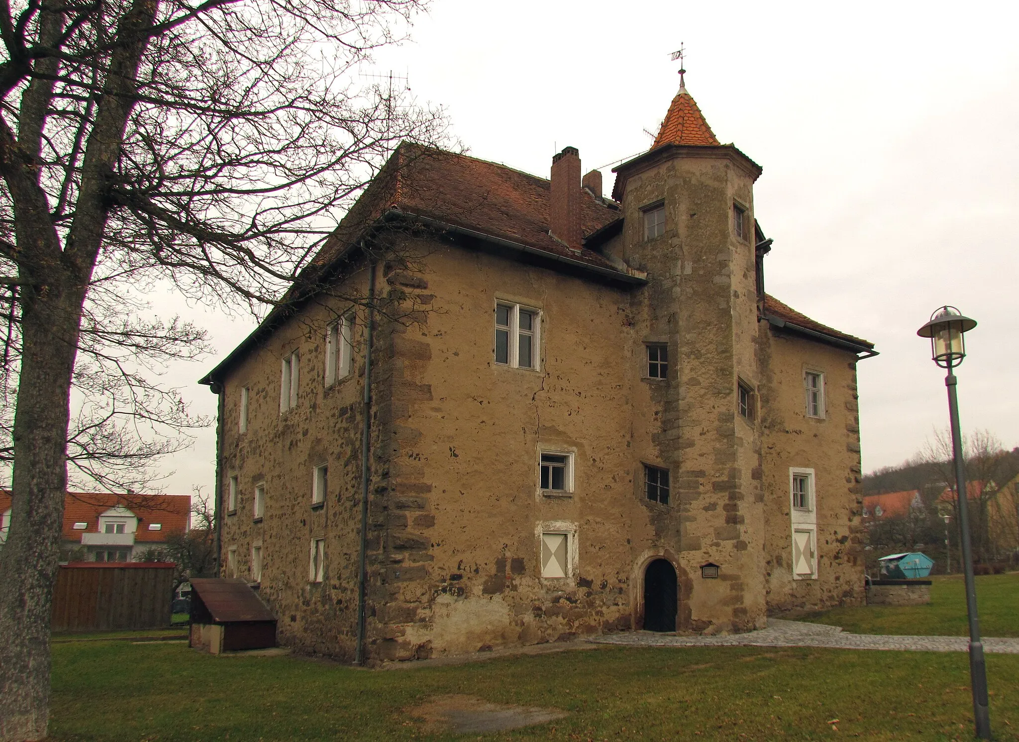
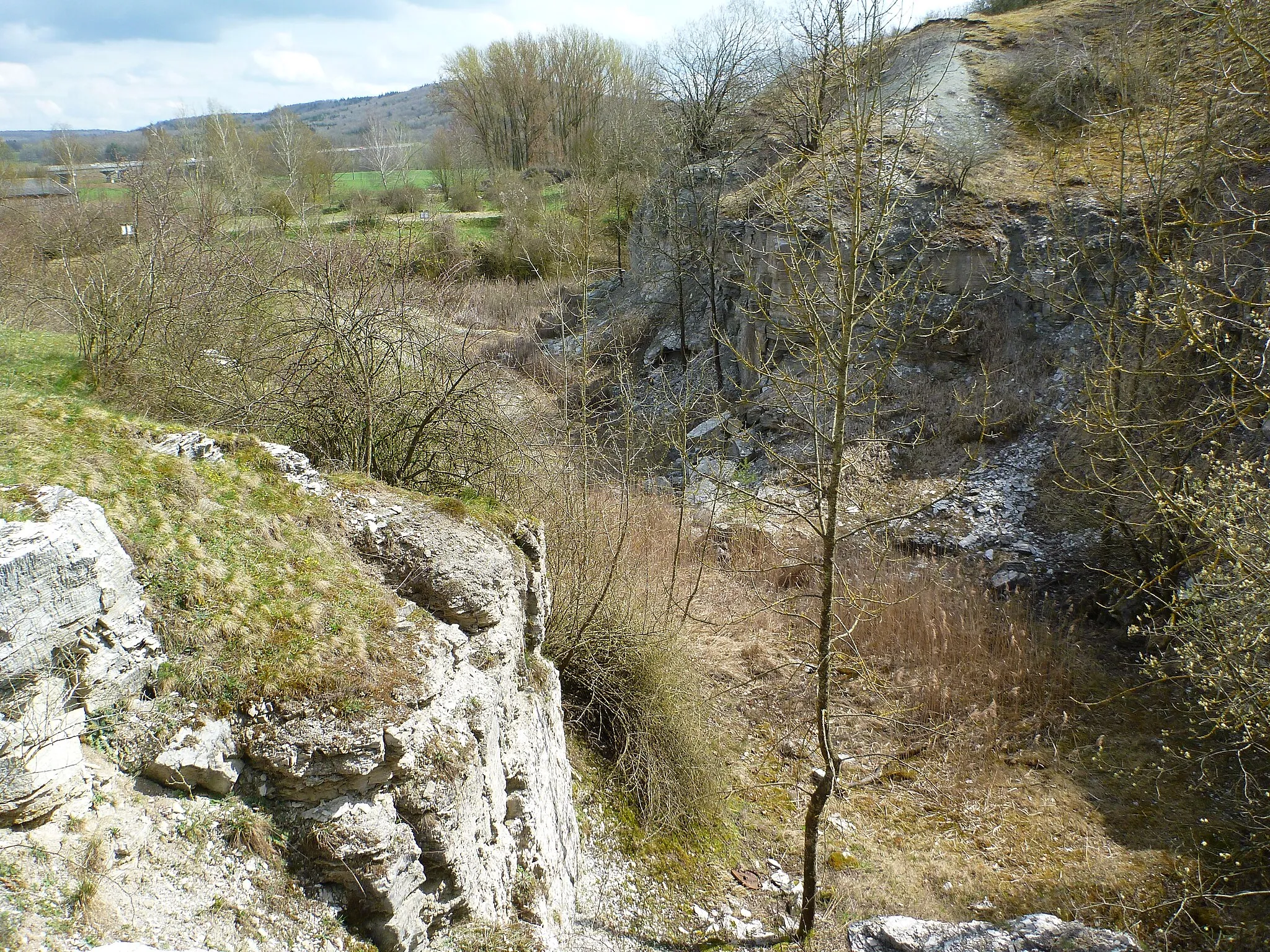
Ernstberg500 mPeakVisit the historic Ernstberg, an iconic landmark with fascinating history and stunning views.
11 km
11 km
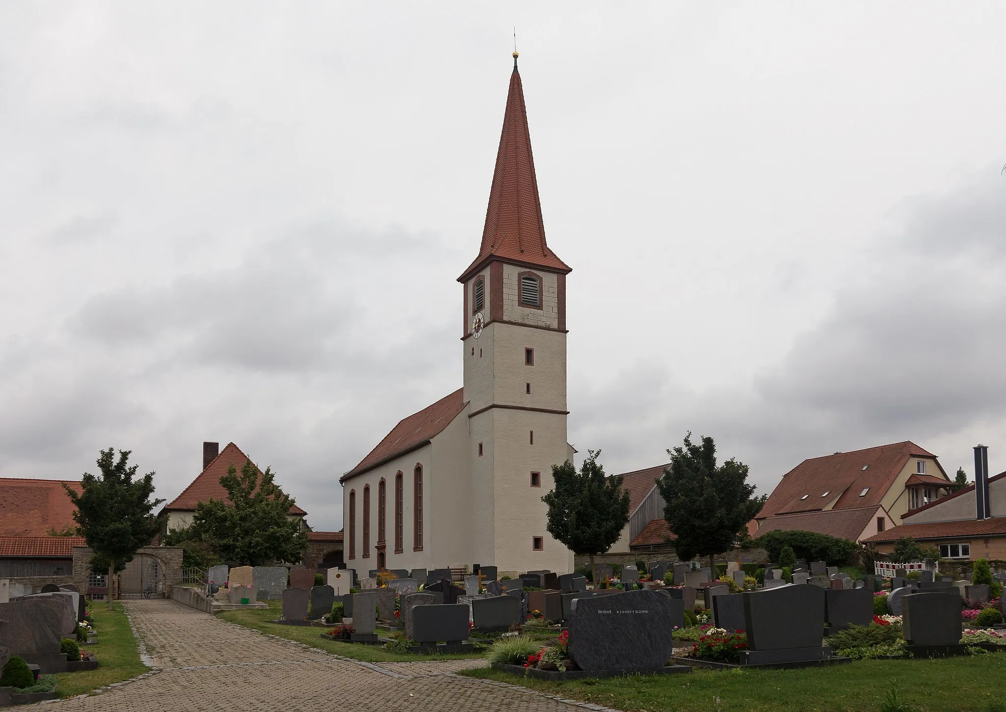
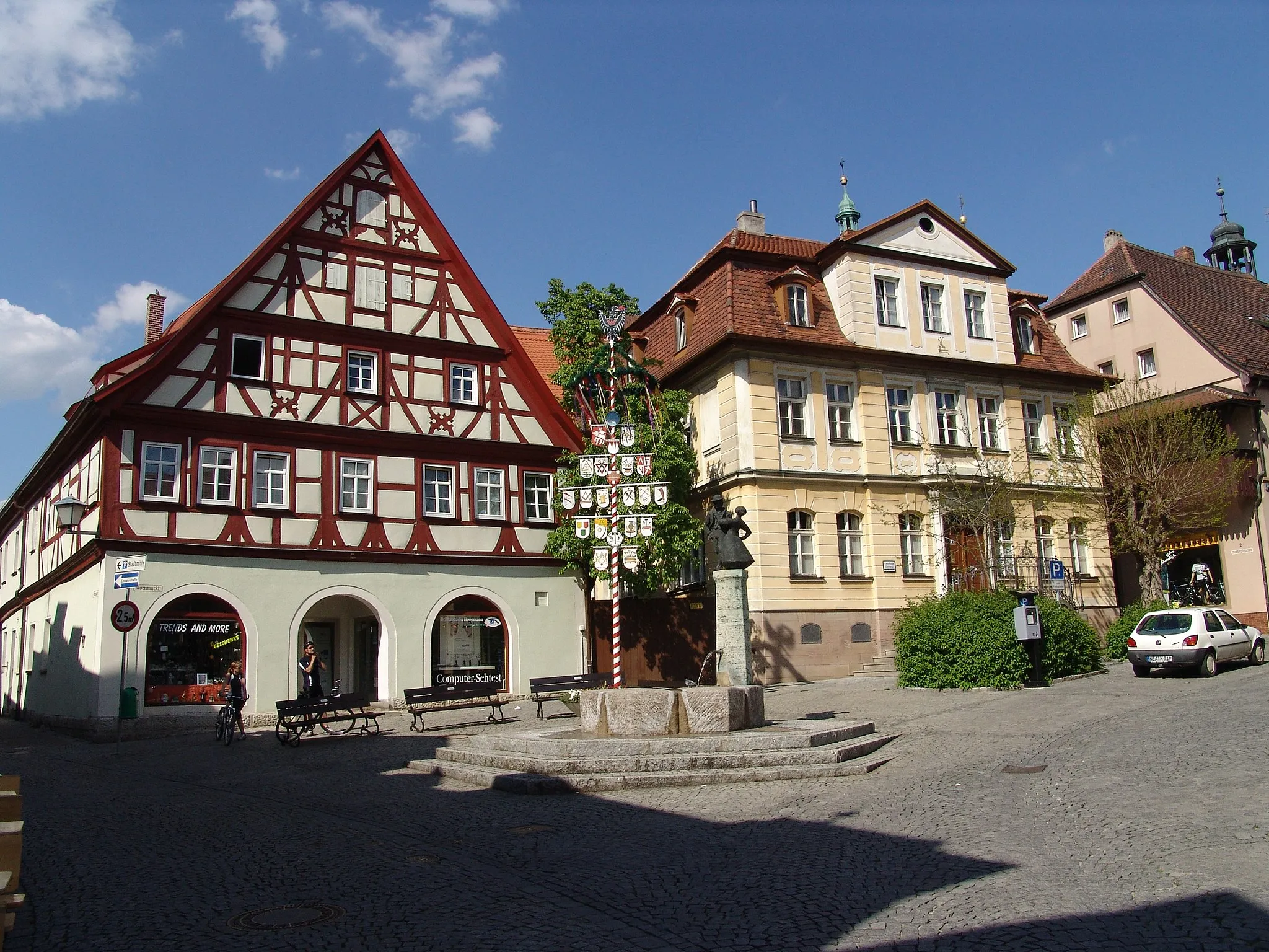
WindelsbachVillageDiscover the charming town of Windelsbach, known for its picturesque streets and local cuisine.
19 km
19 km
Endseer Berg471 mPeakClimb the Endseer Berg and enjoy panoramic views of the surrounding countryside.
28 km
28 km
GroßharbachVillagePass through Großharbach, a small village with traditional architecture and peaceful atmosphere.
38 km
38 km
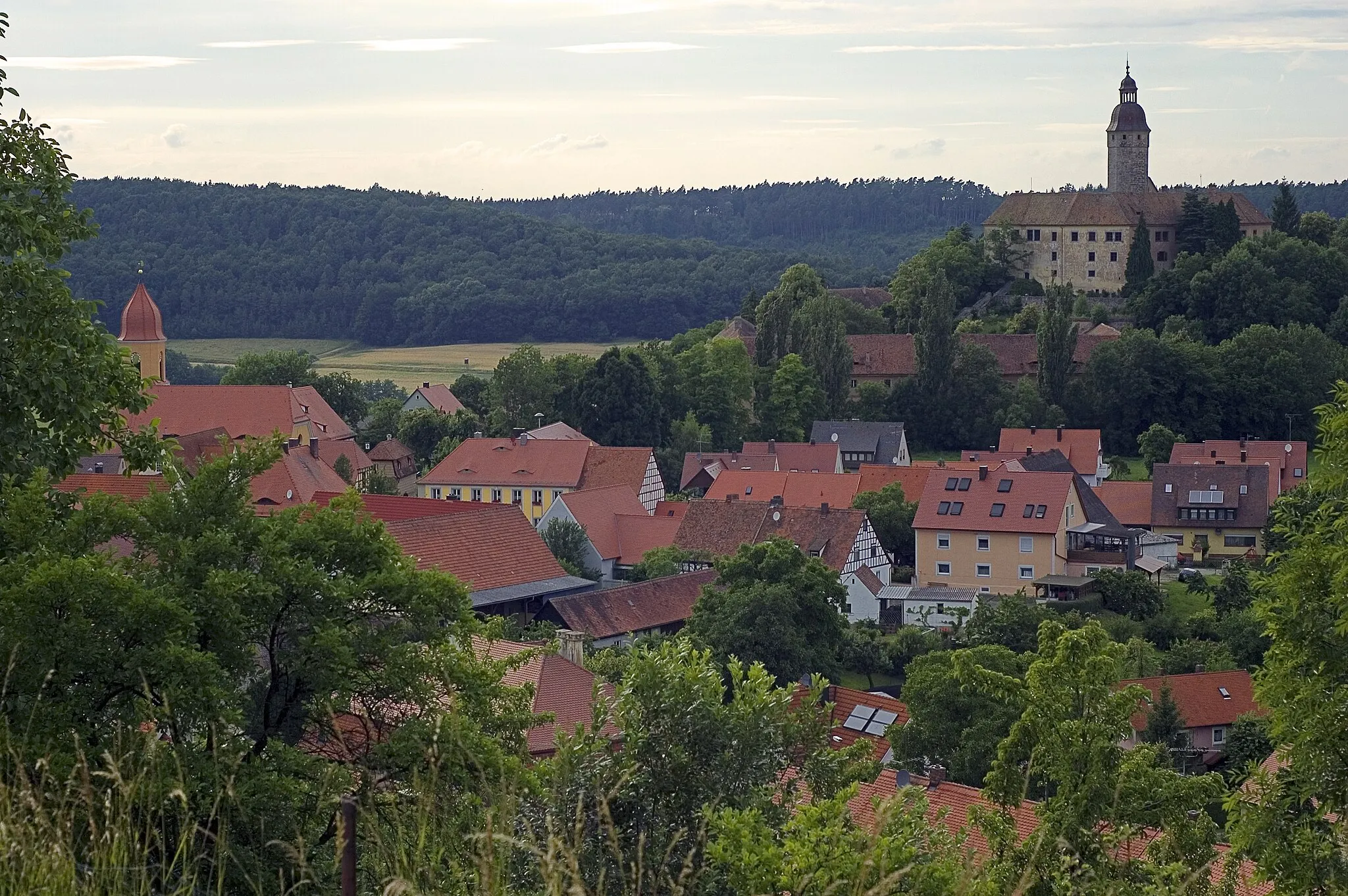
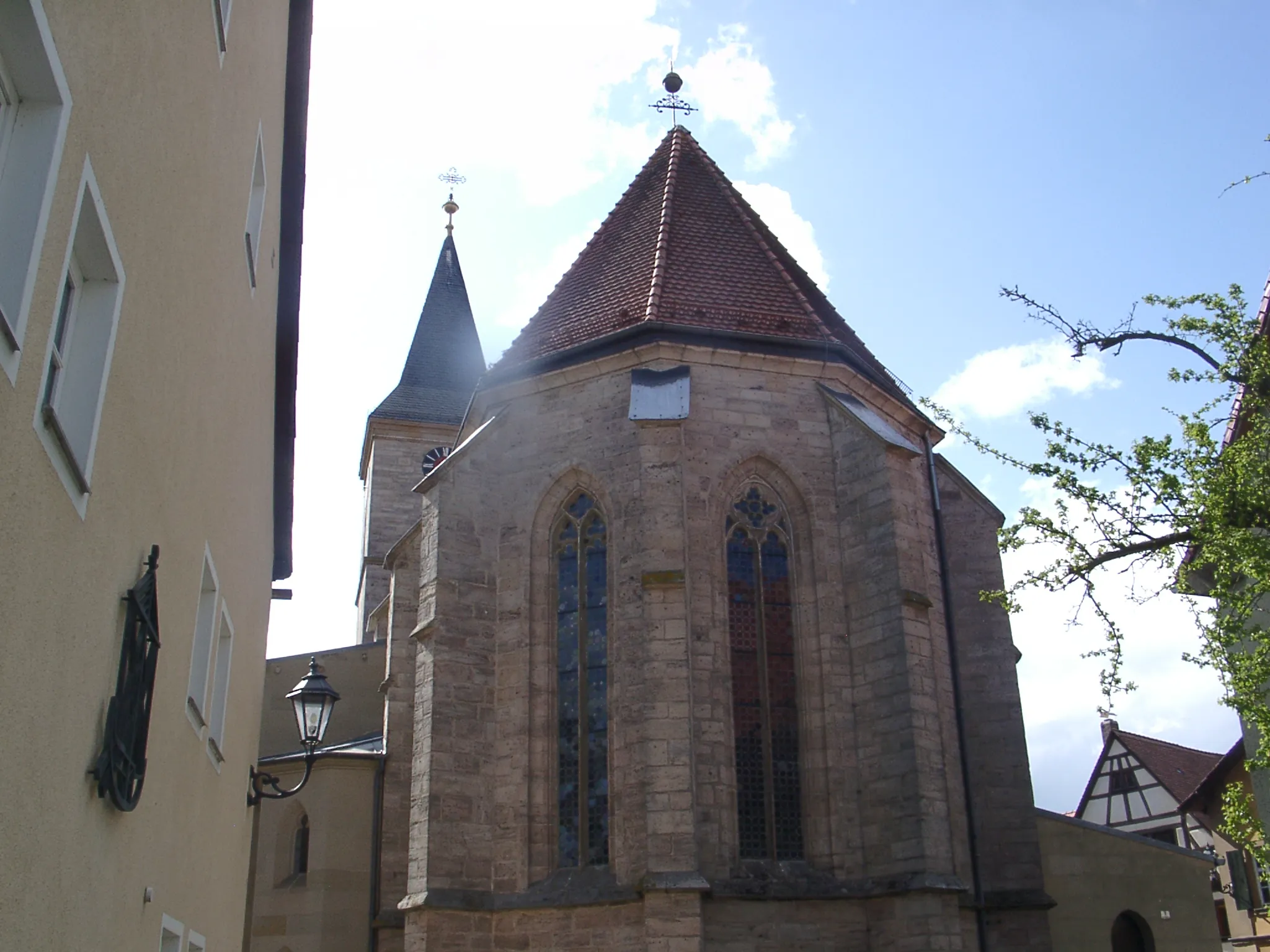
SimmershofenVillageExperience the serene beauty of Simmershofen, a quaint village surrounded by idyllic landscapes.
53 km
53 km
WeigenheimVillageExplore the historic town of Weigenheim, known for its well-preserved medieval architecture.
70 km
70 km
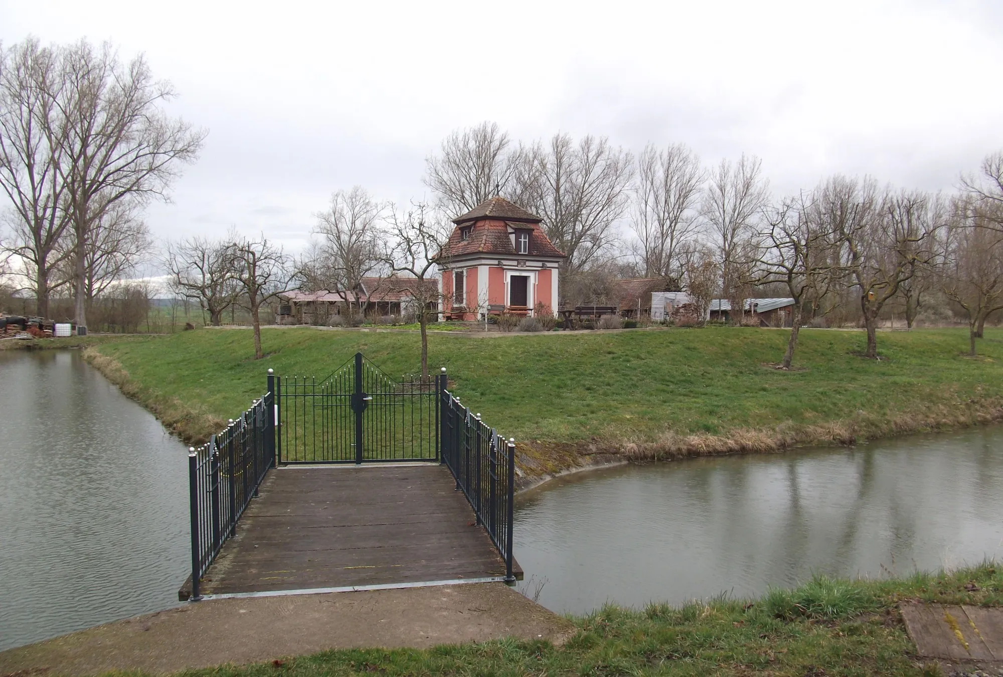
Wolfsbuck331 mPeakMarvel at the scenic Wolfsbuck area, featuring lush greenery and tranquil ponds.
71 km
71 km
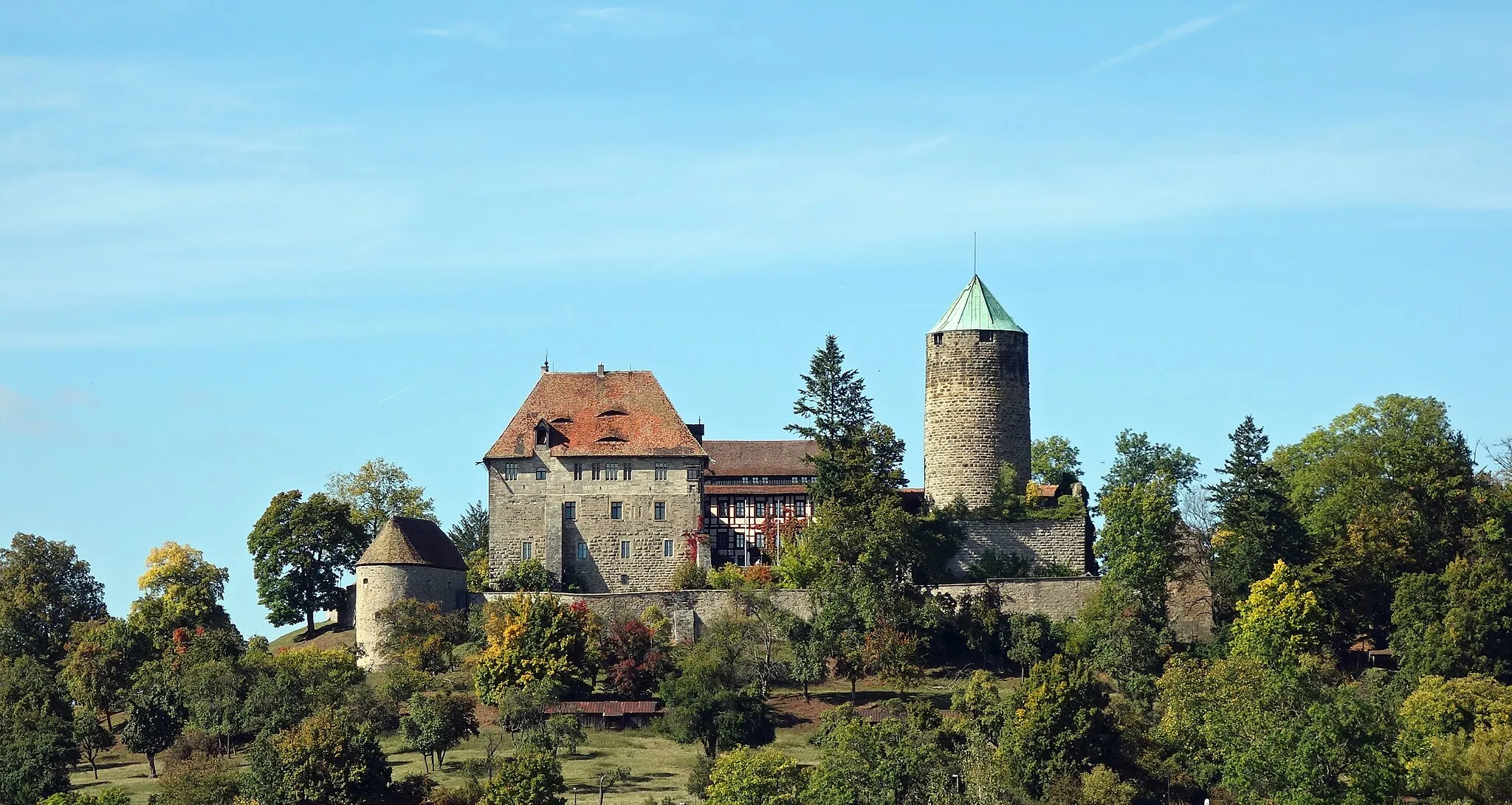
IllesheimVillagePass by the charming town of Illesheim, known for its historic buildings and cultural heritage.
79 km
79 km
Hohe Steig455 mPeakChallenge yourself on the Hohe Steig, a demanding climb that rewards with breathtaking vistas.
82 km
82 km
Finish: Oberdachstetten Village centerOberdachstetten: Serene town with beautiful landscapes
Cycling routes nearby: