The Gravel Expedition
A gravel cycling route starting from Ornbau
Embark on an epic gravel expedition through rugged terrains and breathtaking natural wonders.
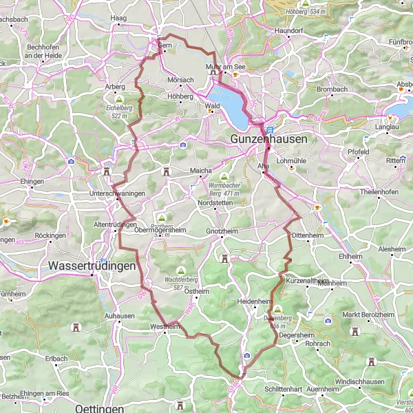
Map
Prepare for an adventure of a lifetime as you tackle challenging terrains, conquer steep climbs, and marvel at breathtaking natural wonders. This epic gravel expedition takes you off the beaten path, meandering through dense forests, along sparkling rivers, and past captivating landscapes. With significant elevation gain and a moderate distance, this route is perfect for experienced gravel riders seeking an adrenaline rush. Immerse yourself in the raw beauty of Mittelfranken's wilderness, discover hidden gems along the way, and create memories that will last a lifetime.
gravel
67 km
736 m
Tough
Route profile
Highlights on the route
0 km
0 km
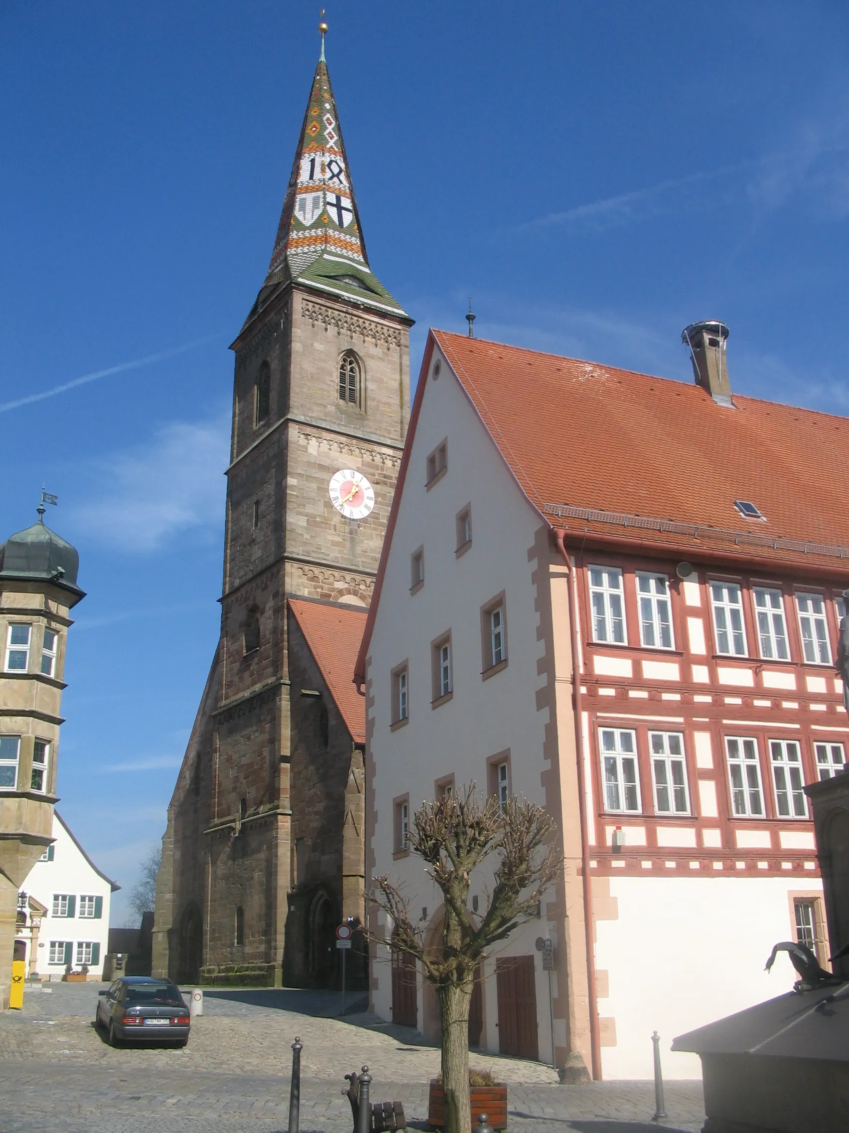
Start: Ornbau Village centerOrnbau: Exploring the cycling routes of Ornbau
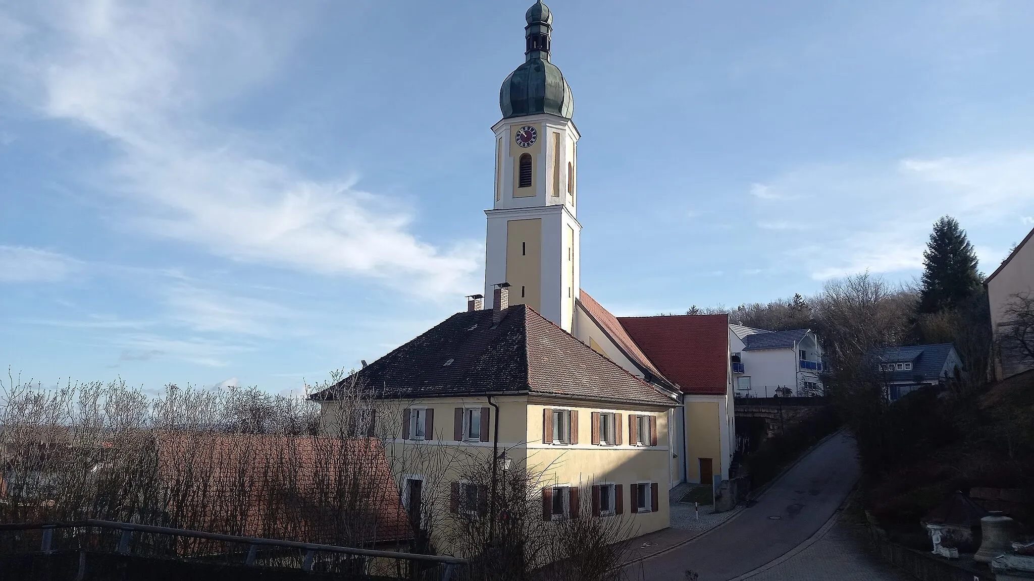
Ornbau is a town located in the Mittelfranken region of Germany. From a cyclist's perspective, Ornbau offers a variety of cycling opportunities, including road and gravel routes through picturesque landscapes. The town itself is home to the well-known Altmühltal bike path, which follows the Altmühl River and showcases the natural beauty of the region. Cyclists can also explore nearby climbs such as the Hesselberg, offering a challenging ascent and rewarding views at the top.6 km
6 km
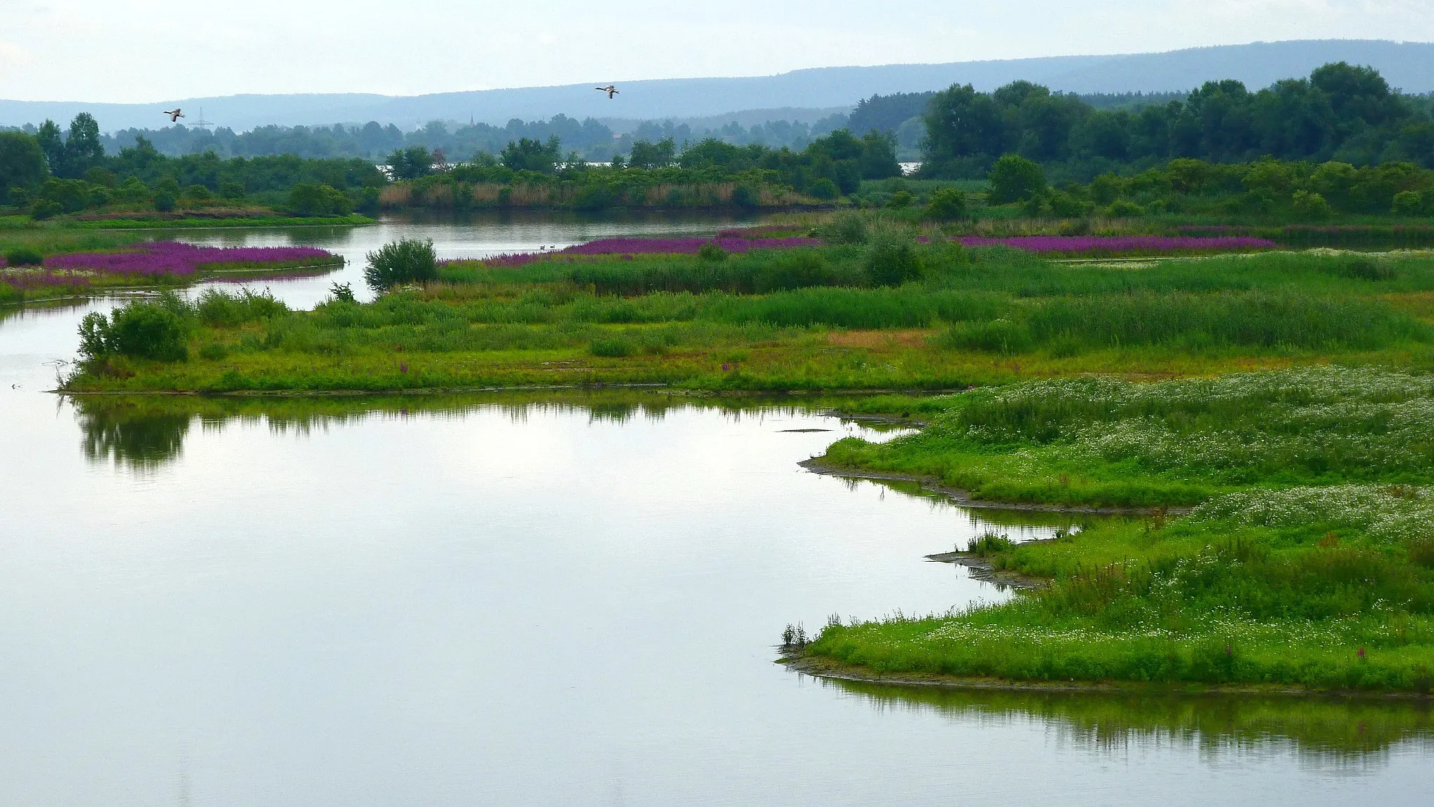
Beobachtungsturm VogelinselViewpointBeobachtungsturm Vogelinsel greets adventurers with sweeping views of the surrounding nature reserve.
13 km
13 km
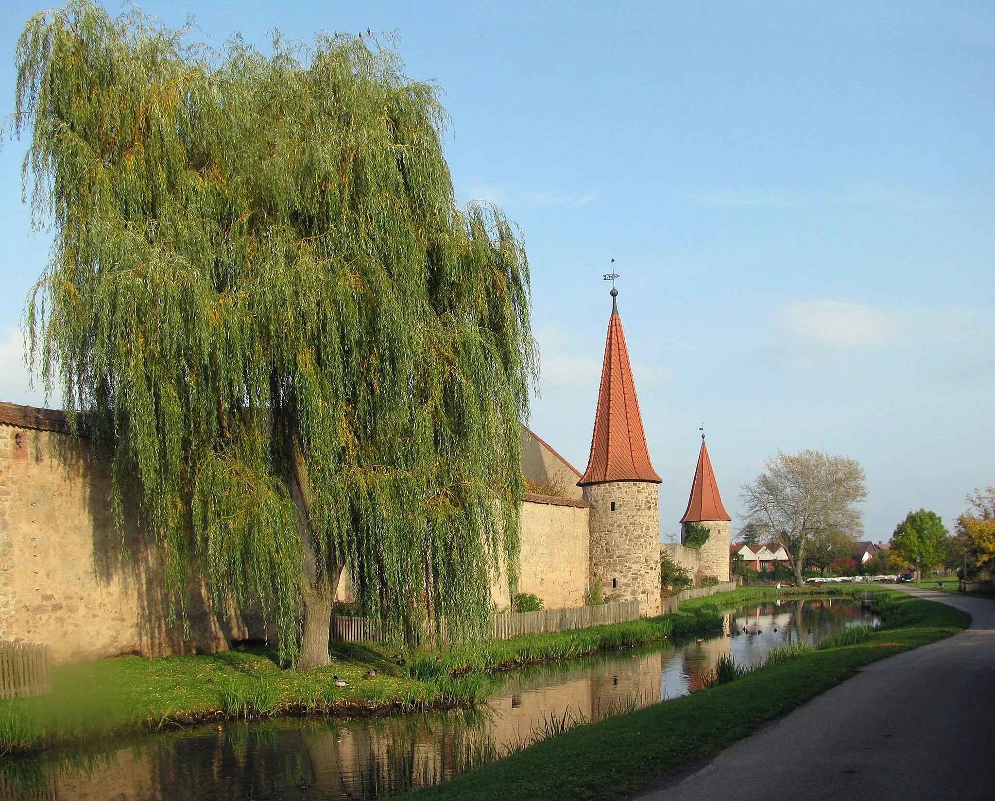
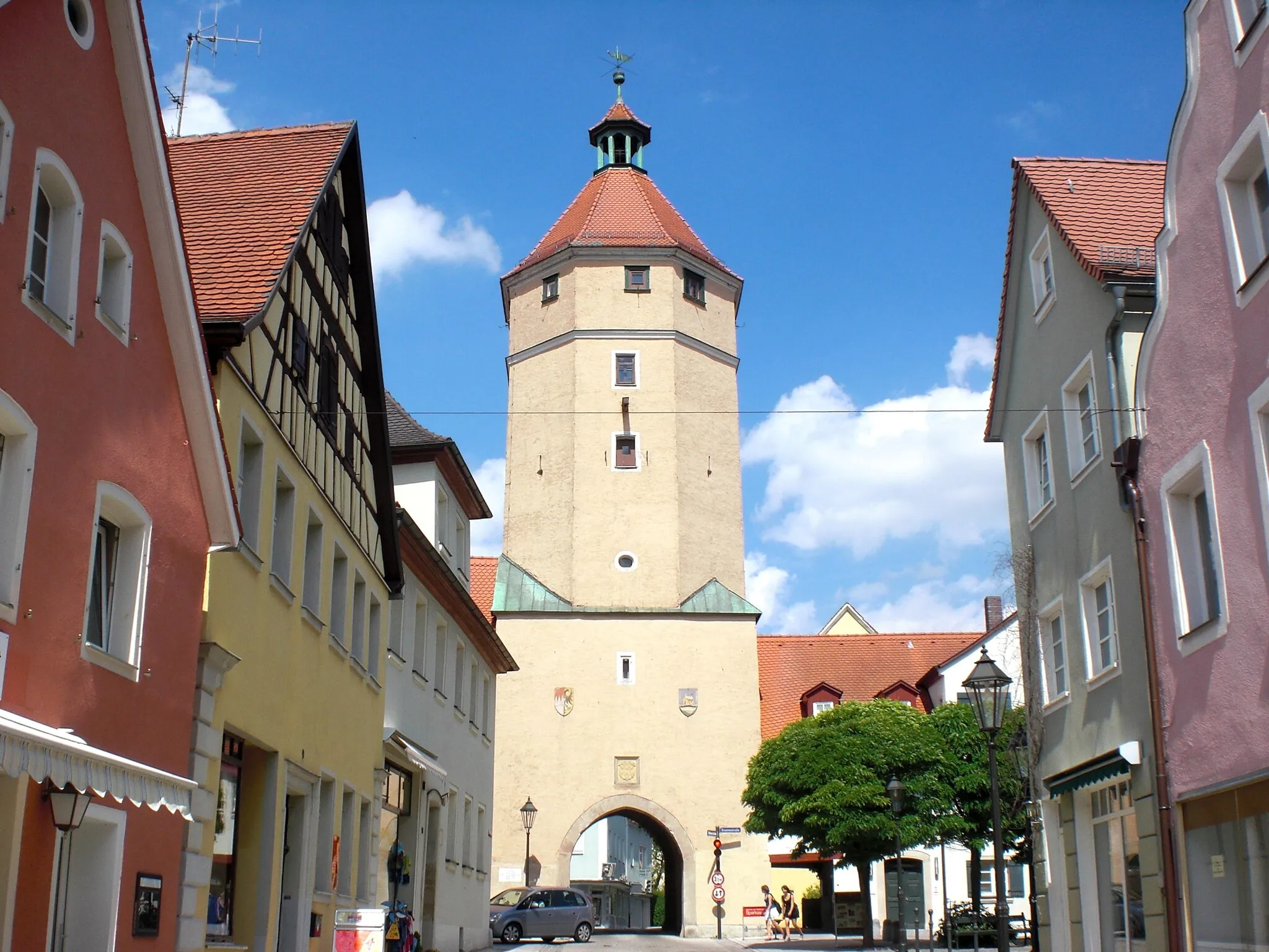
FärberturmAttractionFärberturm, an ancient watchtower, offers panoramic vistas of the rugged landscape.
30 km
30 km
Hörlesbuck634 mPeakHörlesbuck is a challenging ascent that rewards riders with breathtaking views from its summit.
32 km
32 km
Steinerne Rinne bei HechlingenAttractionSteinerne Rinne bei Hechlingen is a natural wonder, comprising a stunning rock formation carved by water over centuries.
47 km
47 km
Eiselberg503 mPeakEiselberg, named the best spot for stargazing in the region, offers unpolluted skies and mesmerizing celestial views.
49 km
49 km
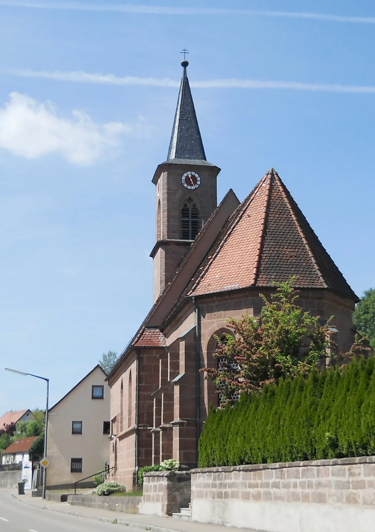
AltentrüdingenVillageAltentrüdingen is a hidden gem, with its well-preserved medieval architecture and tranquil atmosphere.
59 km
59 km
Moßberg493 mPeakMoßberg rewards cyclists with a challenging climb to its summit, where panoramic views of the rolling hills unfold.
67 km
67 km
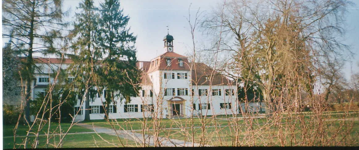
OrnbauVillageOrnbau, the starting point of this epic adventure, is steeped in history and offers a charming setting for cyclists to embark on their expedition.
67 km
67 km
Finish: Ornbau Village centerOrnbau: Exploring the cycling routes of Ornbau
Cycling routes nearby: