Rugged Adventure
A gravel cycling route starting from Pommelsbrunn
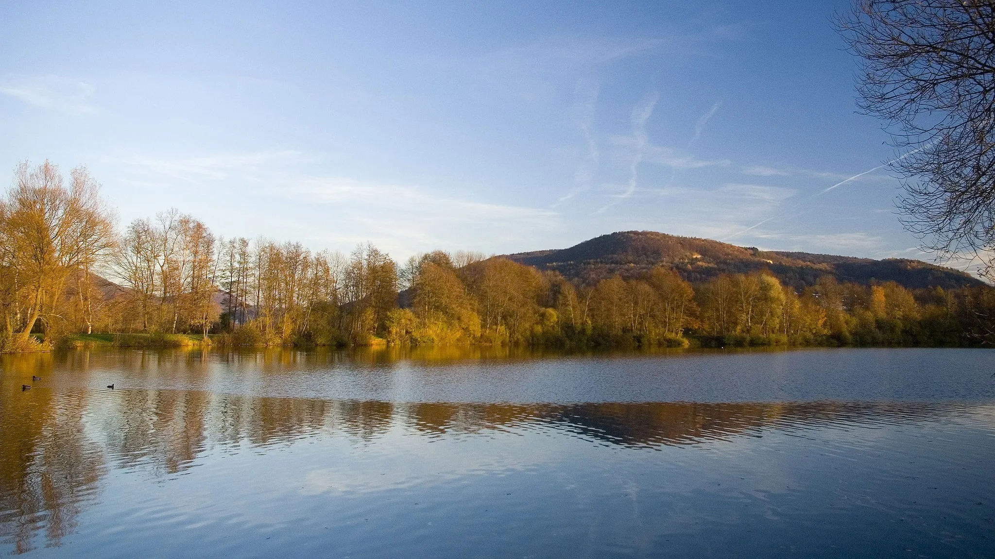
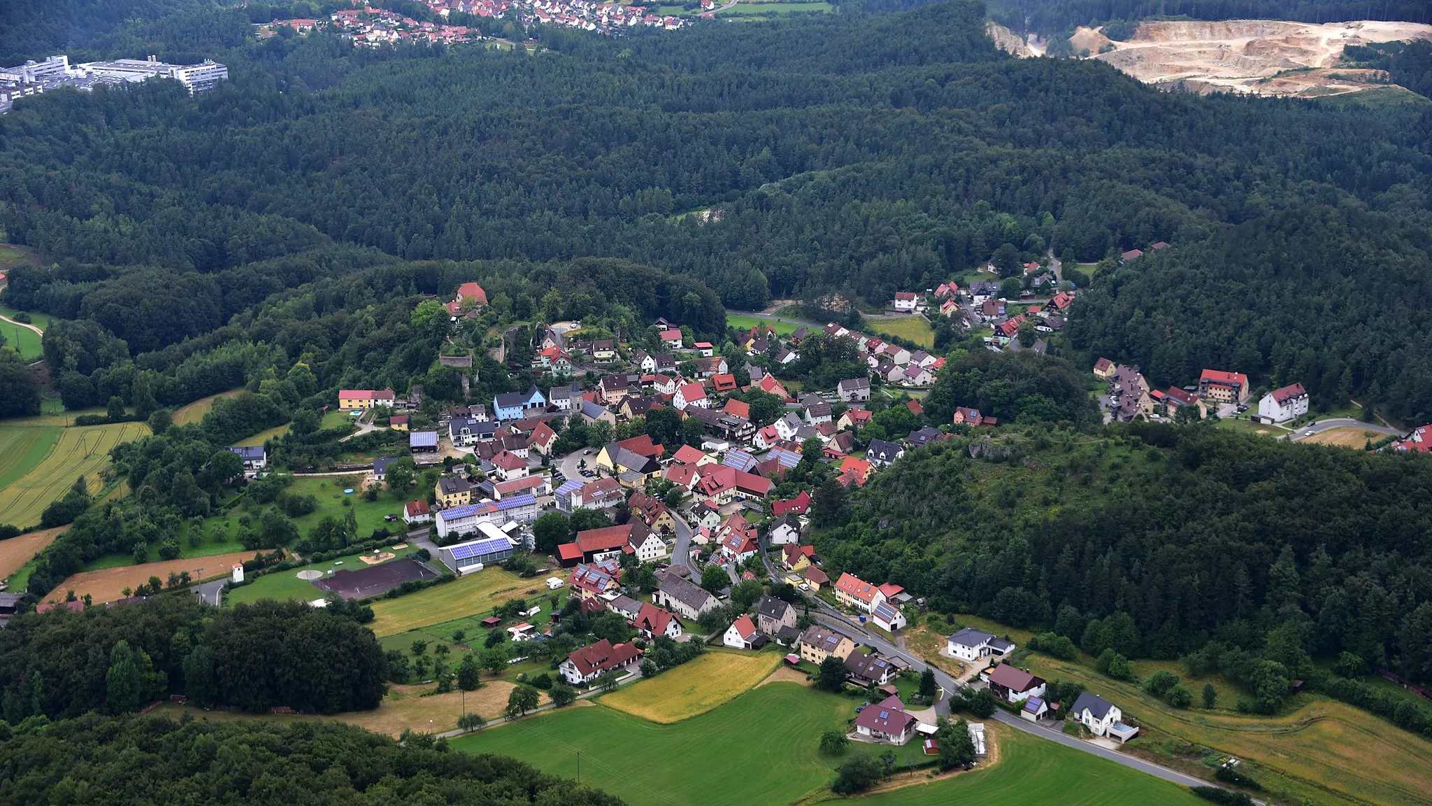
A challenging gravel route through remote areas and stunning landscapes
Map
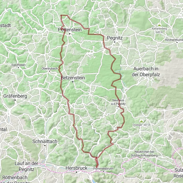
For the adventurous souls, this 99 km gravel route near Pommelsbrunn is an absolute joy. With a total ascent of 1779 meters, this route will push your limits with steep climbs and rough terrains. Highlights include Stöppach, offering panoramic views, and Hohenstadter Geißkirche, a picturesque spot amidst rolling hills. Enjoy the tranquility of nature as you pedal through hidden gems like Schermshöhe, known for its unique rock formations. This epic route is recommended for experienced gravel riders who seek a challenging and rewarding adventure.
gravel
99 km
1779 m
Savage
Route profile
Highlights on the route
0 km
0 km
Start: Hohenstadt Village centerPommelsbrunn: Conquer legendary climbs in stunning landscapes of Pommelsbrunn, Germany.
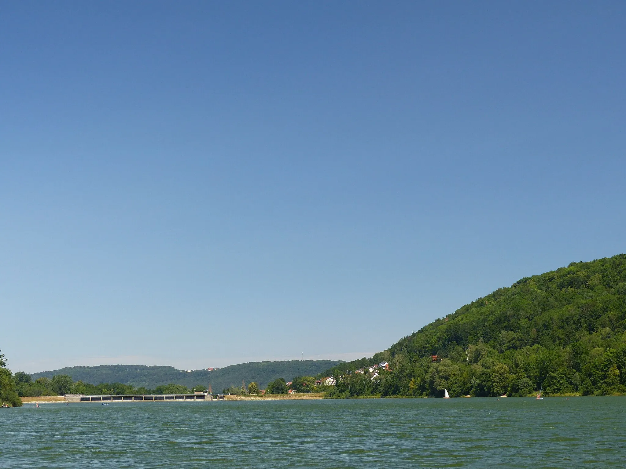
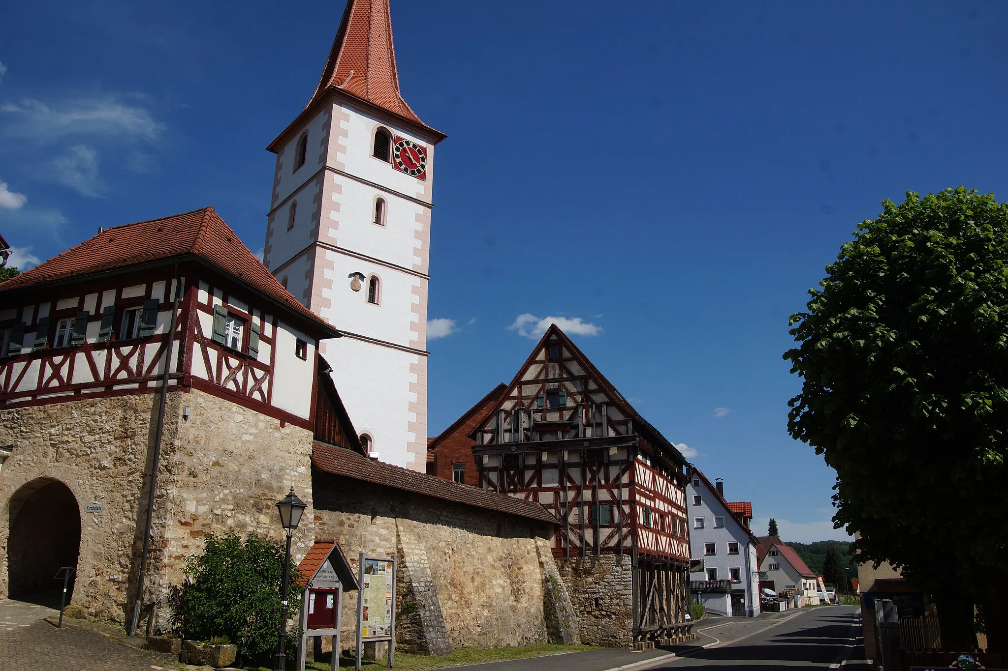
Pommelsbrunn, situated in Mittelfranken, Germany, is a region that is ideal for road and gravel cyclists. The locality is known for its stunning landscapes, ranging from forested hills to rocky formations. Cyclists exploring Pommelsbrunn can enjoy a mixture of challenging climbs and more moderate routes surrounded by beautiful scenery. Famous cycling attractions in the area include the Fränkische Schweiz region, which offers a diverse range of climbs, including the notorious Ochsenkopf. In addition to road cycling, Pommelsbrunn offers gravel cyclists the opportunity to venture into scenic off-road trails that wind through forests and rural areas. From a cyclist's point of view, Pommelsbrunn would be ranked as a 5 due to its legendary climbs and impressive landscapes.9 km
9 km
StöppachVillageStöppach rewards cyclists with breathtaking views of the surrounding countryside.
11 km
11 km
Sandberg595 mPeakSandberg is a peaceful spot with stunning vistas and a serene ambiance.
19 km
19 km
Sattelbogen565 mPeakSattelbogen provides captivating panoramic views of the rugged terrains.
19 km
19 km
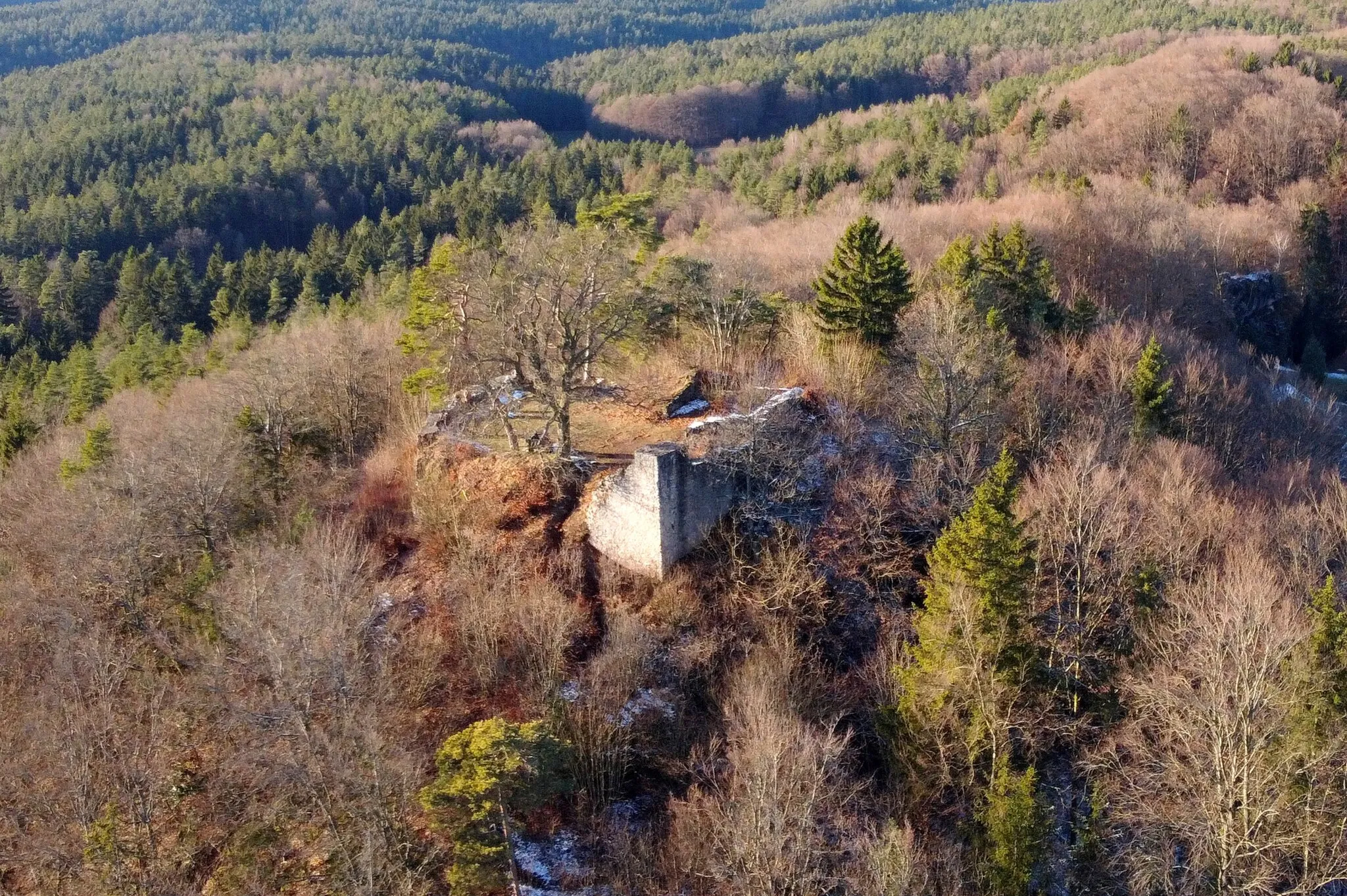
SchermshöheHamletSchermshöhe features unique rock formations and breathtaking landscapes.
40 km
40 km
SchlossfelsenViewpointSchlossfelsen is a historic landmark that offers stunning views of the Bavarian countryside.
54 km
54 km
HollenbergHamletHollenberg is known for its scenic trails, deep forests, and rich biodiversity.
57 km
57 km
Wacholderberg546 mPeakWacholderberg is a picturesque hill covered in juniper trees, providing a unique cycling experience.
77 km
77 km
Neuhaus a.d.PegnitzVillageNeuhaus a.d.Pegnitz is a charming Bavarian town with stunning medieval architecture.
80 km
80 km
Rehberg442 mPeakRehberg is renowned for its natural beauty, offering breathtaking views and diverse wildlife.
92 km
92 km
HirschbachVillageHirschbach is nestled in a valley surrounded by picturesque landscapes and pristine nature.
92 km
92 km
Petrus580 mPeakPetrus provides panoramic views as well as a tranquil atmosphere, perfect for relaxation.
99 km
99 km
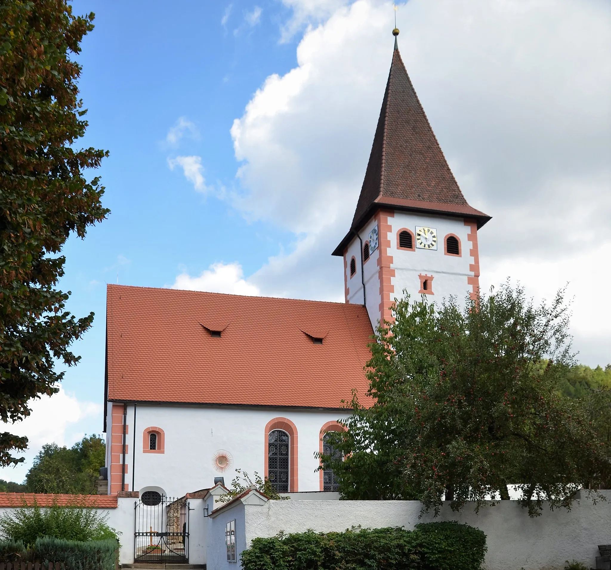
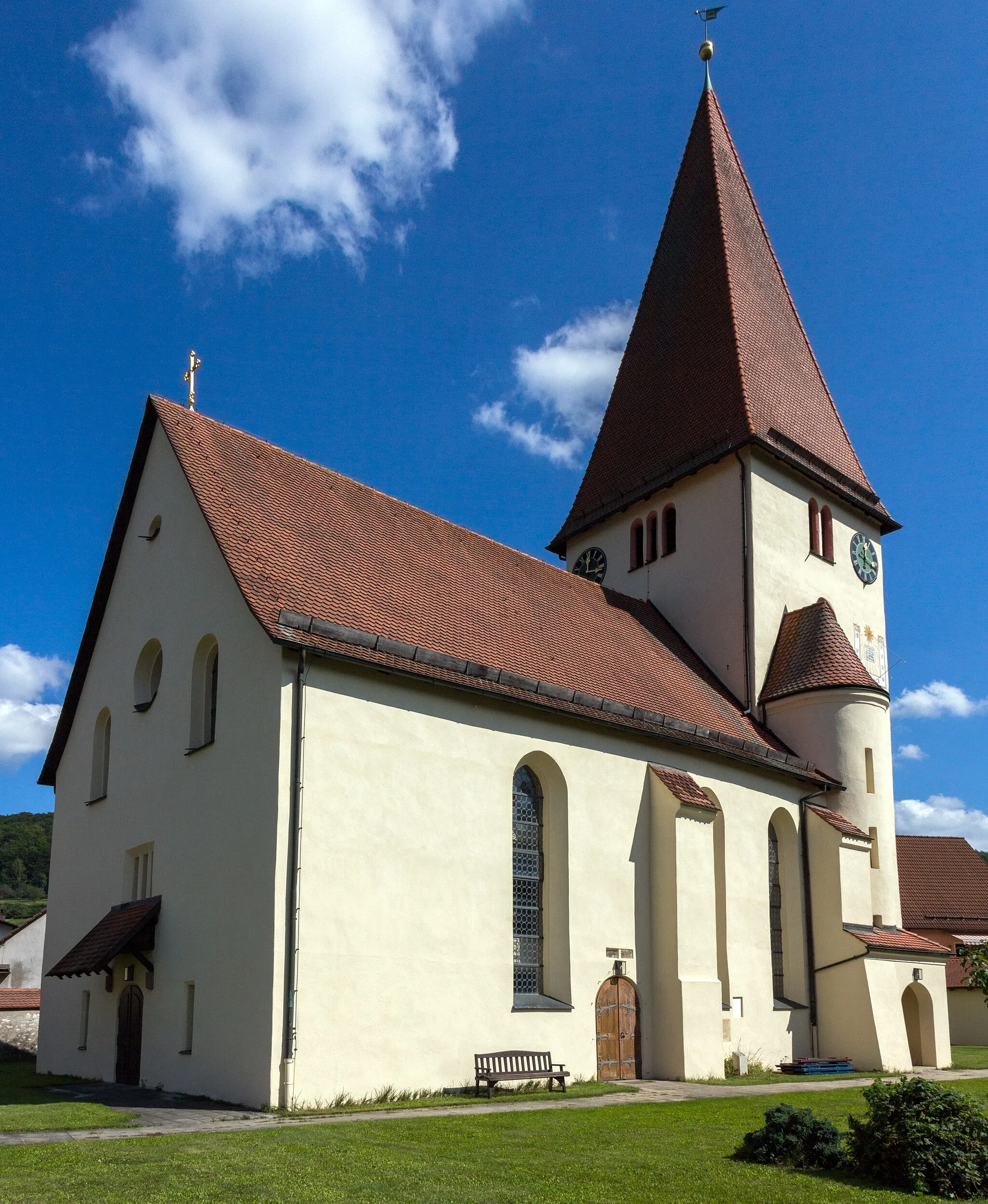
Hohenstadter GeißkircheViewpointHohenstadter Geißkirche is a must-visit spot with its unique architectural beauty and stunning vista.
99 km
99 km
Finish: Hohenstadt Village centerPommelsbrunn: Conquer legendary climbs in stunning landscapes of Pommelsbrunn, Germany.
Cycling routes from Pommelsbrunn:
Cycling routes nearby: